Unterrothorn
Statistics
- Date - 08/18/2026
- Elevation - 10,180'
- Route - Southwest Slopes
- Miles - 1.4
- Elevation Gain - 1,758'
- ACME Mapper - Not Applicable
- CalTopo - Link
- Partners - Not Applicable
Description
Similar to my climb of the Railroad Couloir on Pikes Peak in 2019, the statistics for this hike are a bit unusual. For Pikes Peak, we completed the climb and took a shuttle back down to our vehicle which reduced the mileage. In this instance, I wanted to save time and not have my wife wait too long for me, so I hiked up the peak and then rode the tram back down to where she was waiting for me which cut the distance in half.
The Zermatt-Sunnegga Funicular is an underground train Rebecca and I took from town up into the mountains that gains about 2,200' in five minutes. From the Sunnegga Station, we rode the gondola to Blauherd which gained us another 900' to an elevation of approximately 8,435'. From here I could see up Unterrothorn (also referred to as Rothorn), and the steep hike before me. There is actually three routes from Blauherd to Unterrothorn, but I simply chose the most direct one to save time.
The hike was essentially straight up the southwest slopes of the peak via what seemed like 100 narrow switchbacks. The steep hike went quickly and there was some scrambling near to summit as I think I lost the trail for a bit and just went straight to the top instead of hunt for the route. It took me around 90 minutes to complete the hike, and then I wondered around the peak for 15 minutes waiting for the tram back down to Rebecca. The views of the Matterhorn across the valley were fairly obscured by clouds similar to the previous day.
After I got back to Blauherd, we did the Five Lakes Walk which was mostly downhill but did cover around 7 miles. We saw Swiss cows, mountain goats, and had good views of the area most of the day. We stopped at Grunsee Mountain Lodge for a drink, and then had lunch reservations in Findeln at Chez Vrony. After our meal, we hiked up to Sunnegga to take the underground train back to Zermatt only to learn that it was out of service! Rather than waiting for a jeep ride back to town, we hiked an additional 4.5 miles to Zermatt.
Photos
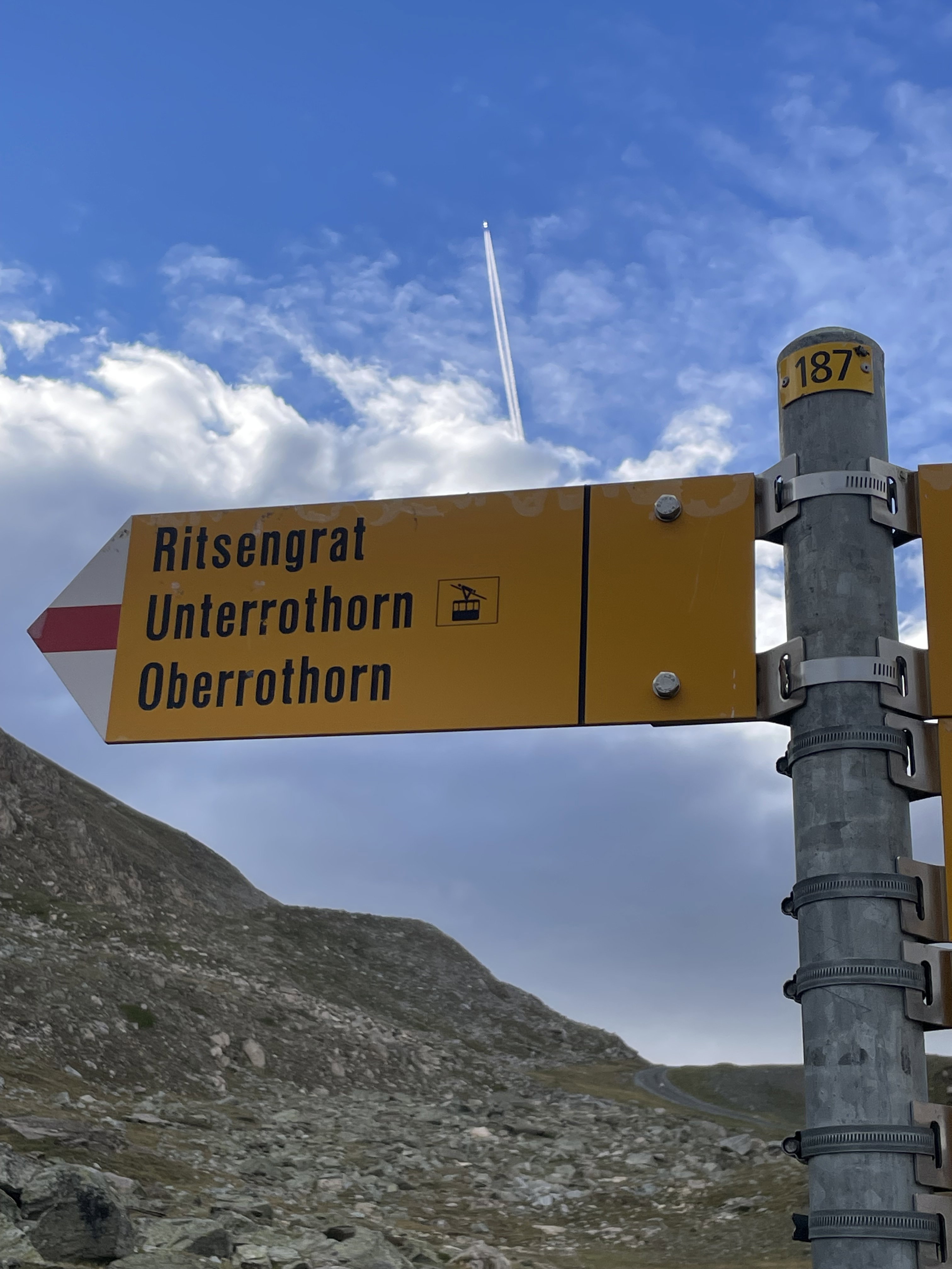
Trail sign to the peak I was hiking.
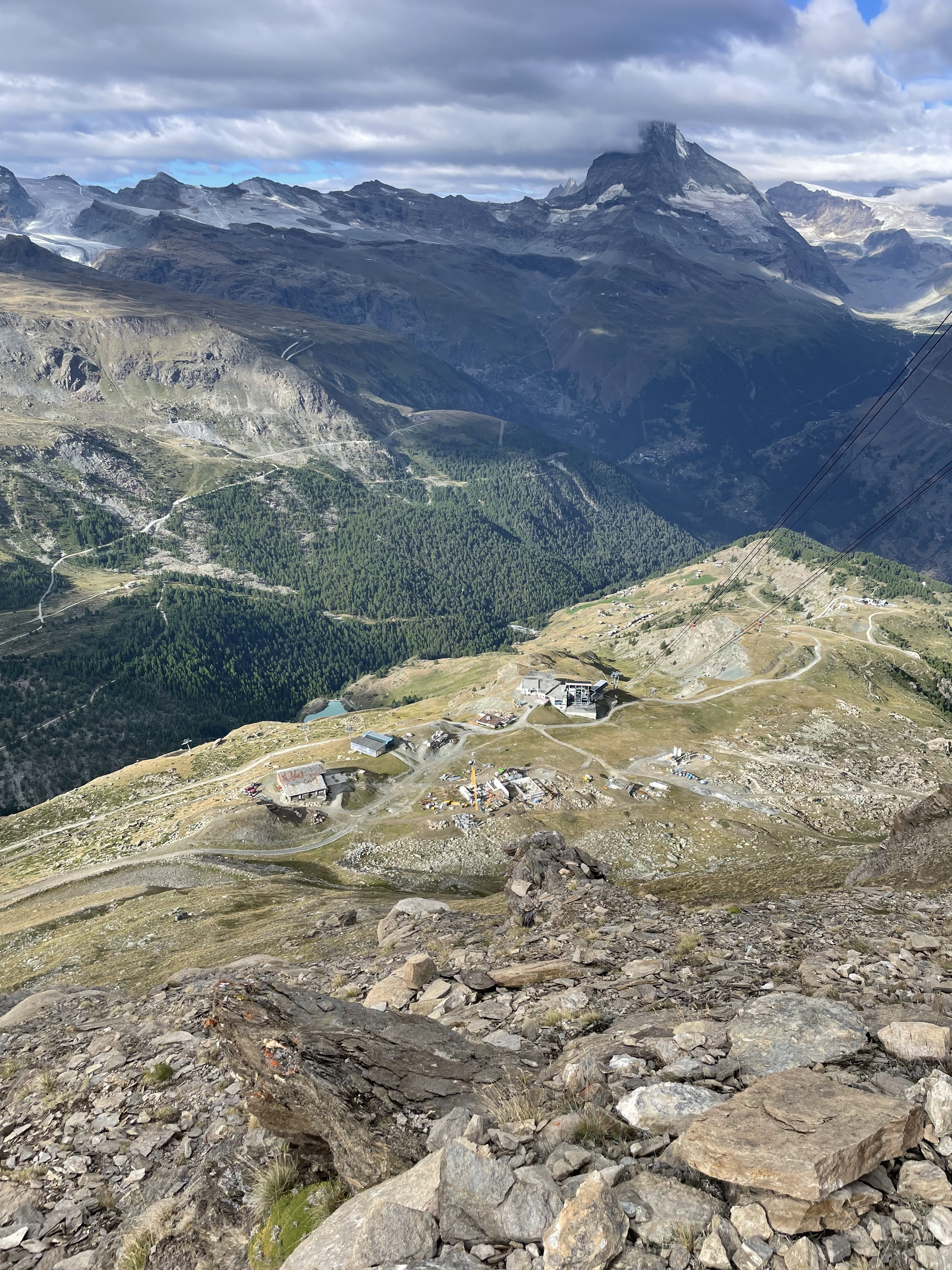
Looking down at Blauherd with the Matterhorn in the background.
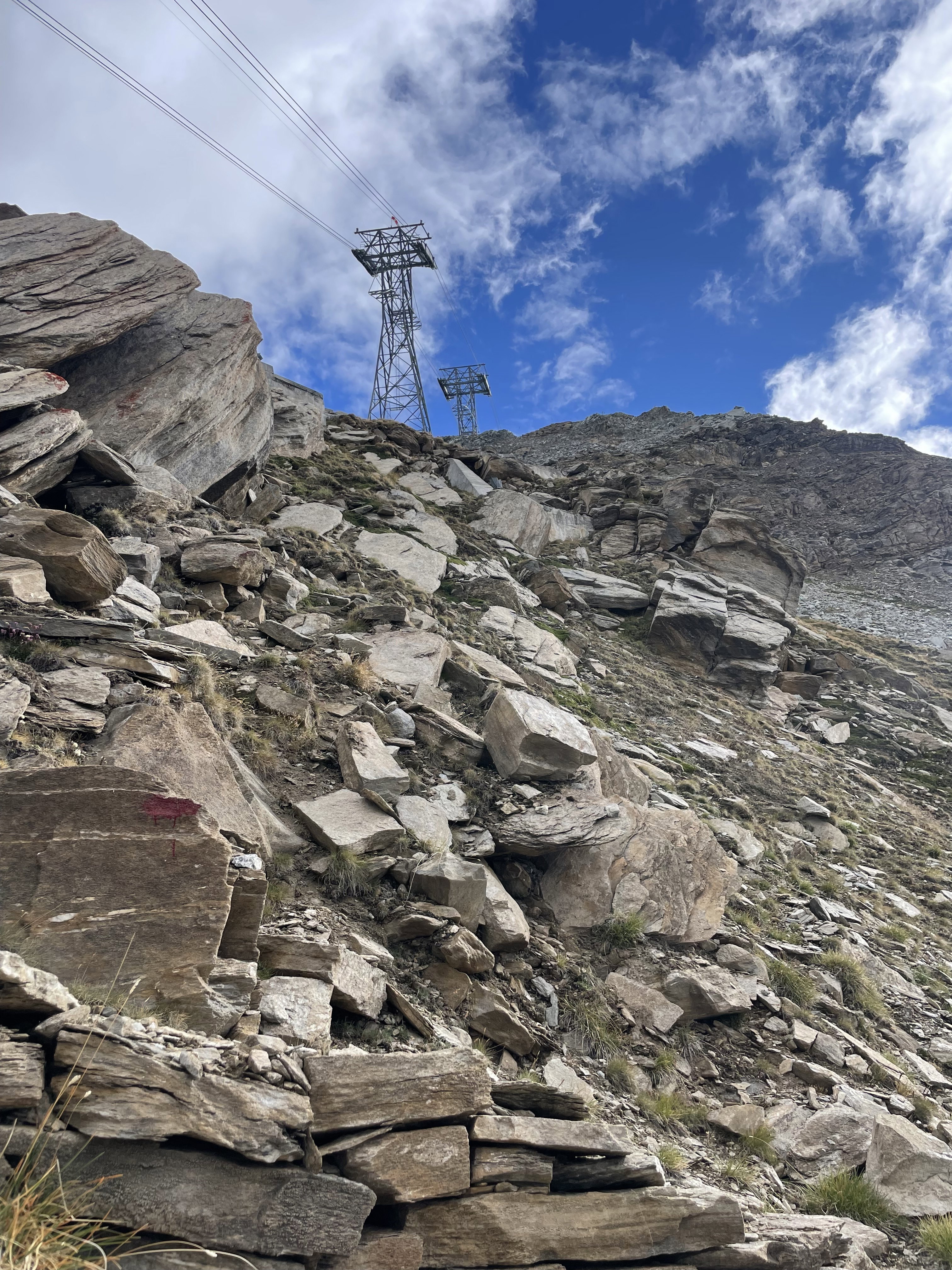
Looking up about one-third of the way up the hike.
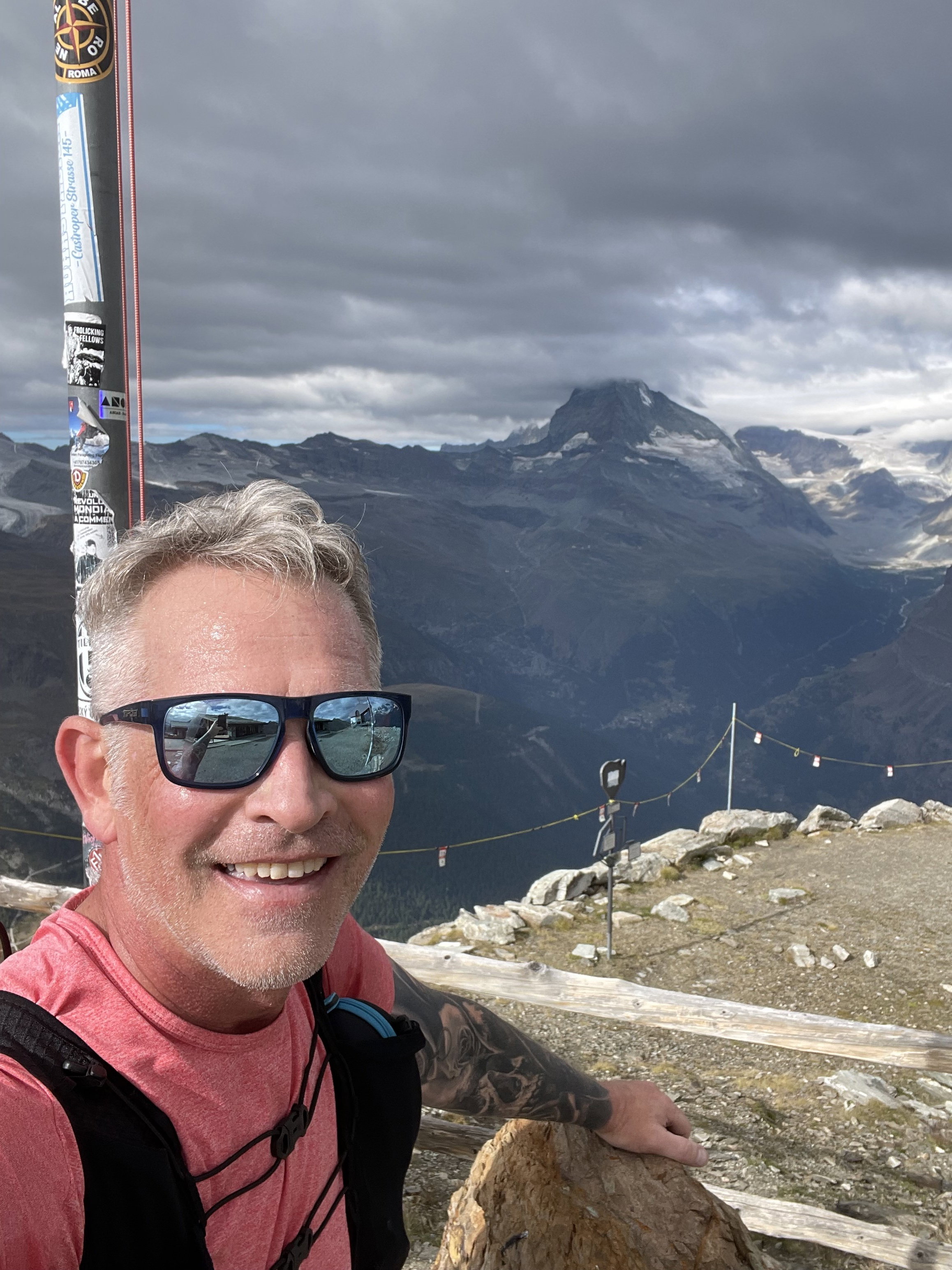
Summit Photo
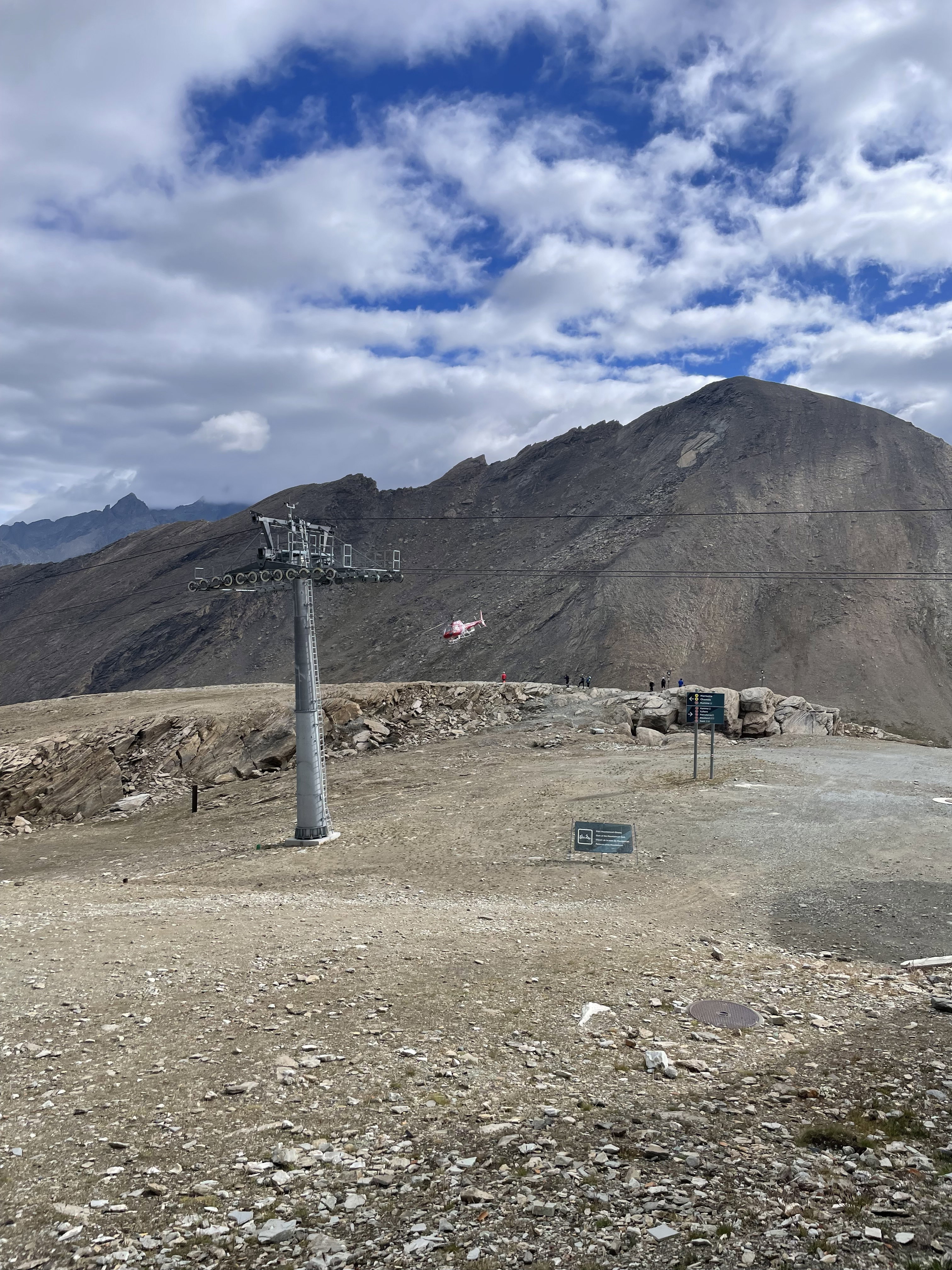
Oberrothorn to the northeast.
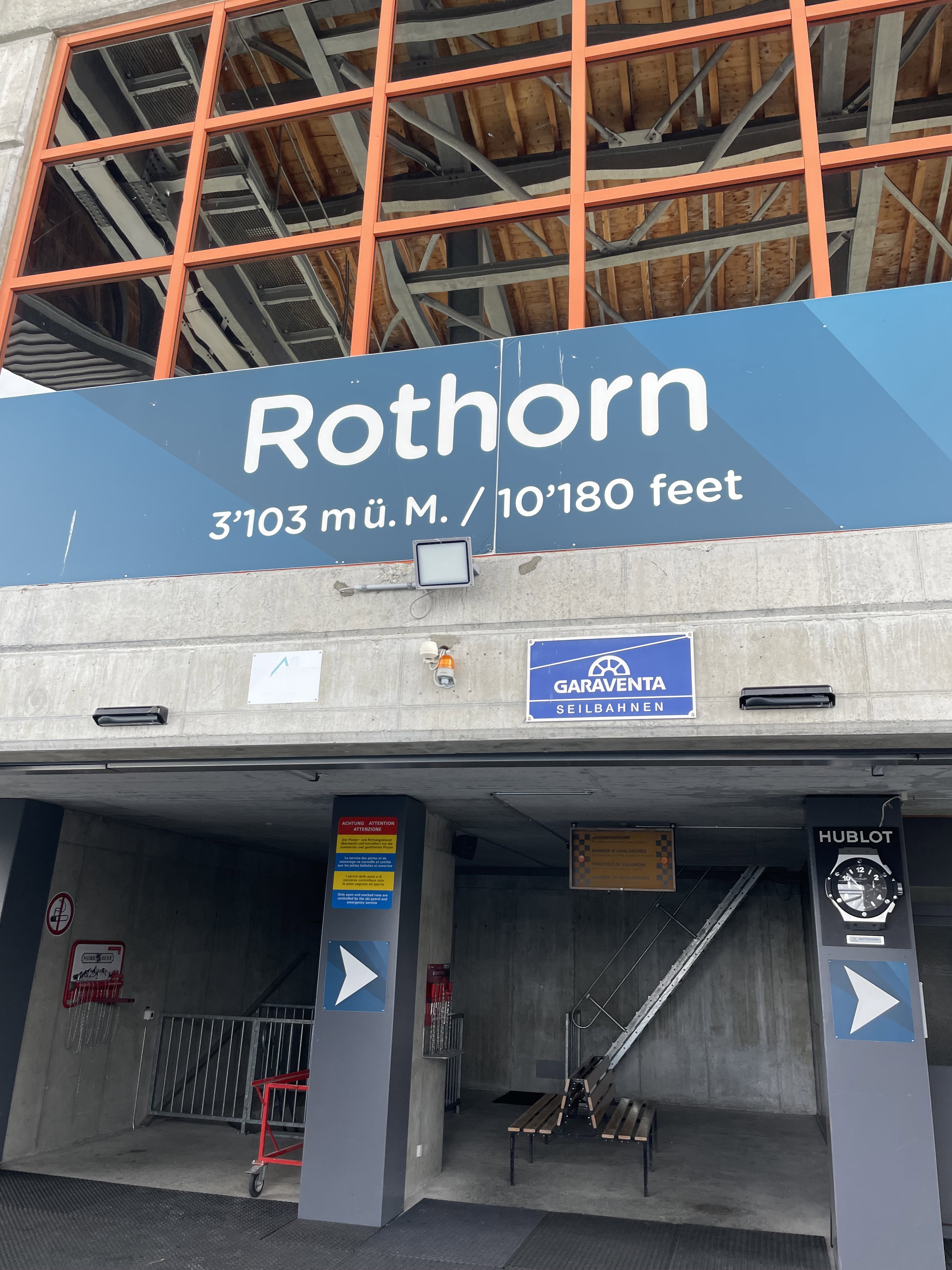
The cable car station on the top of the peak.
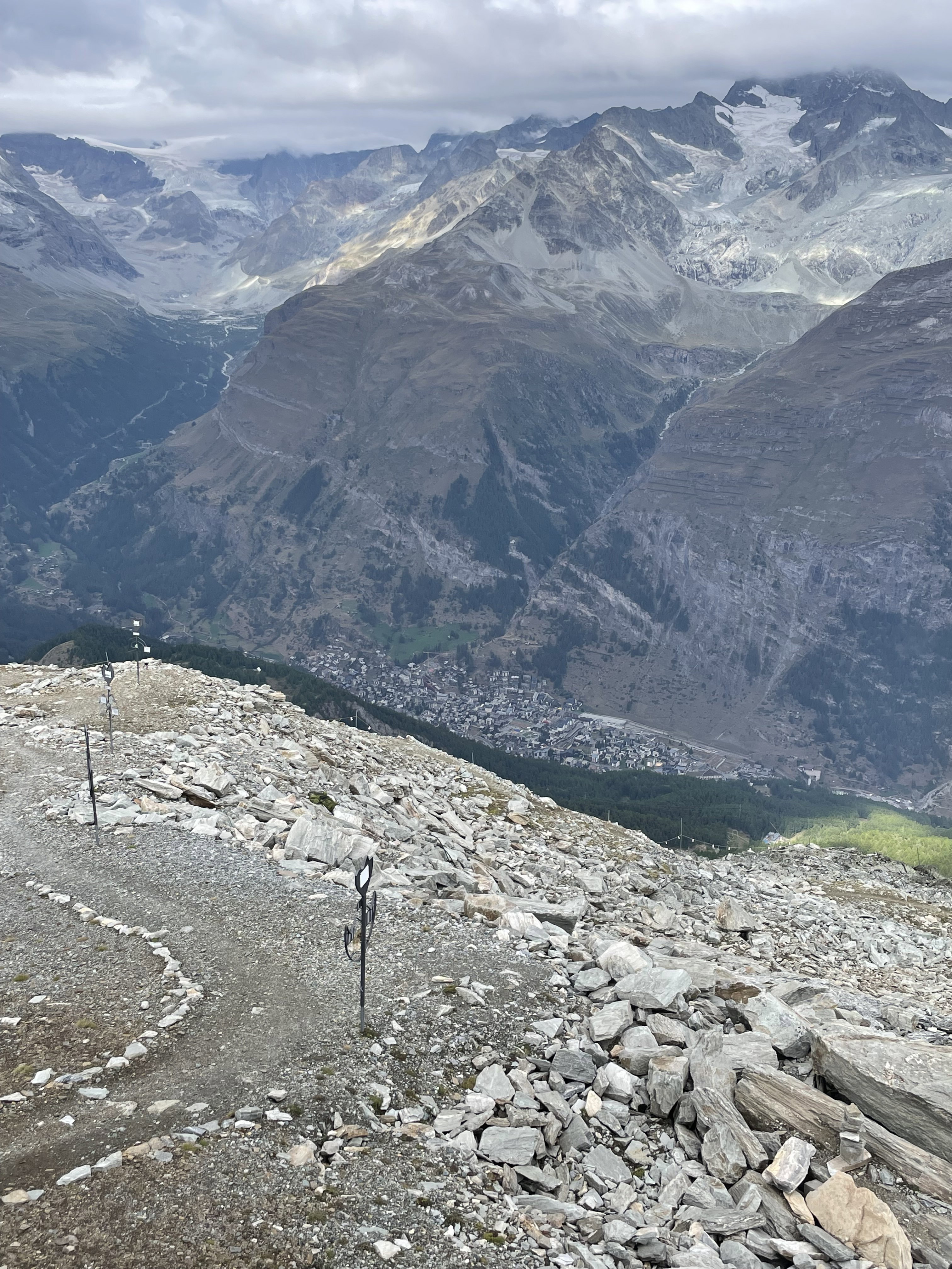
Zermatt in the valley below.
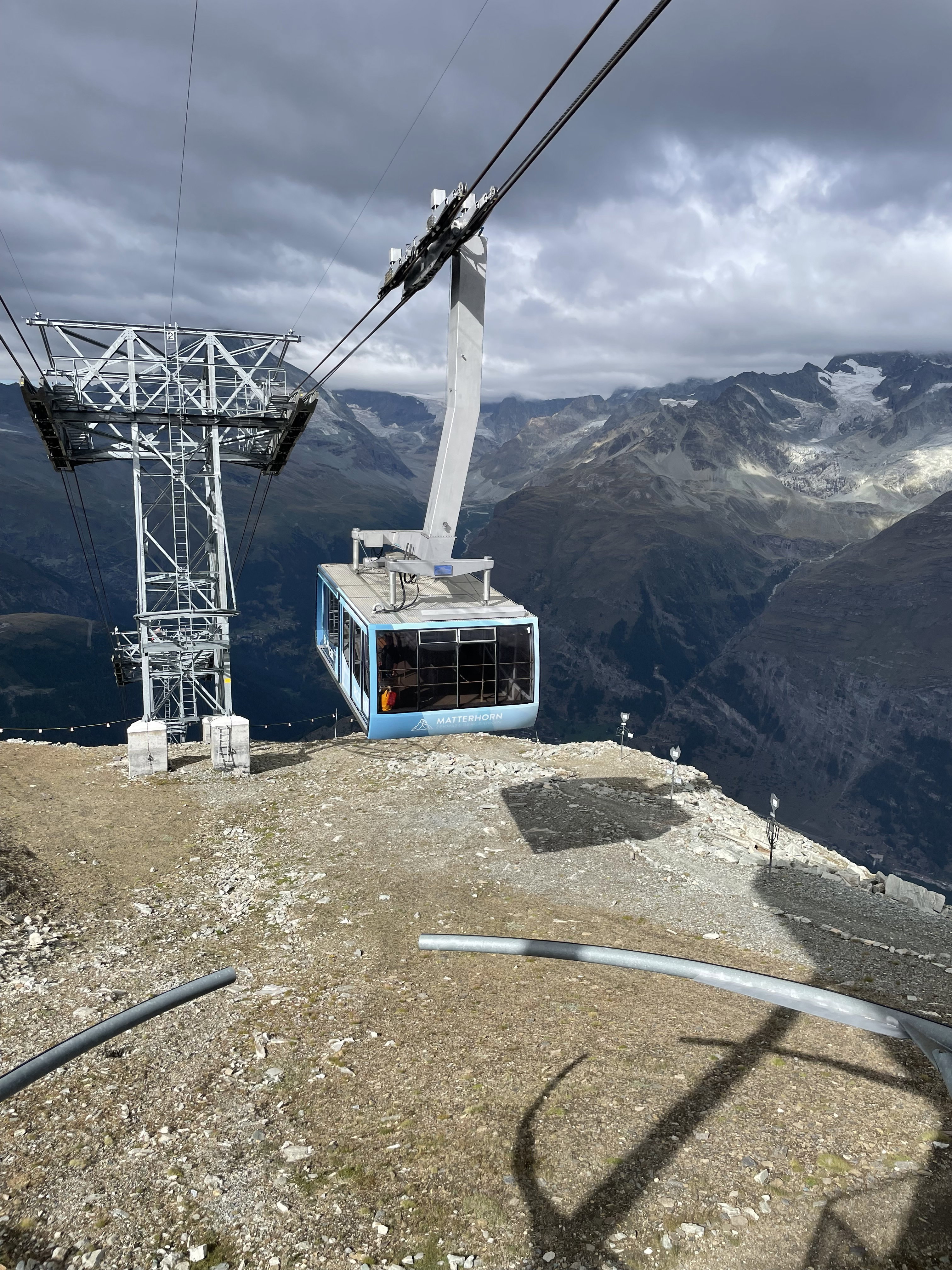
The tram I rode from Rothorn to Blauherd.
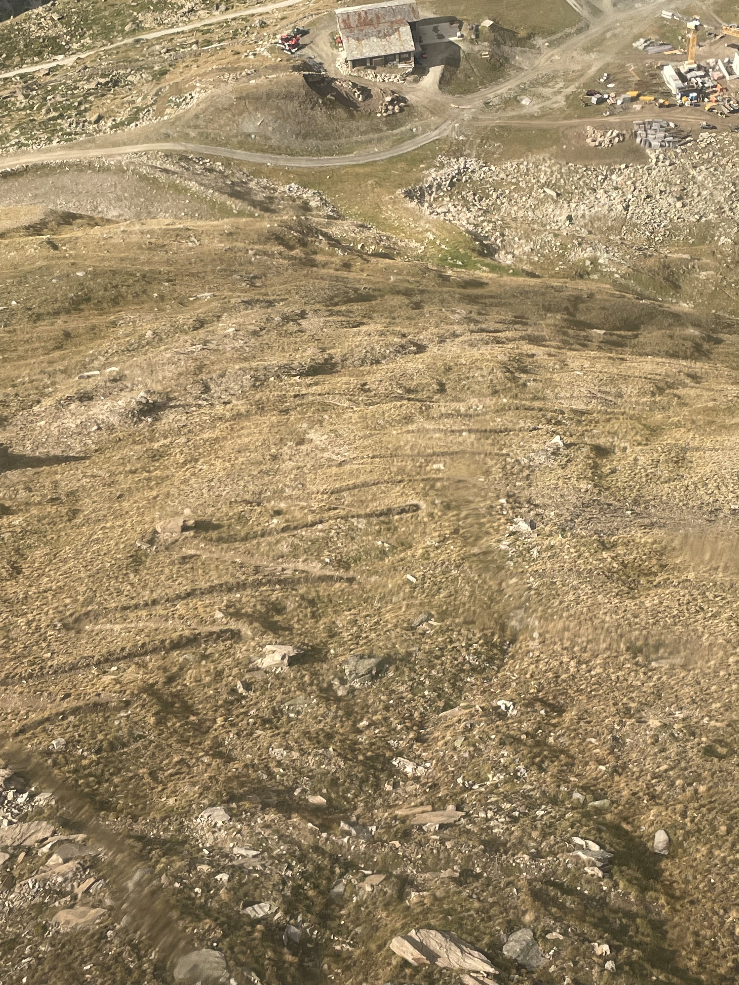
The numerous switchbacks I hiked on the ascent.
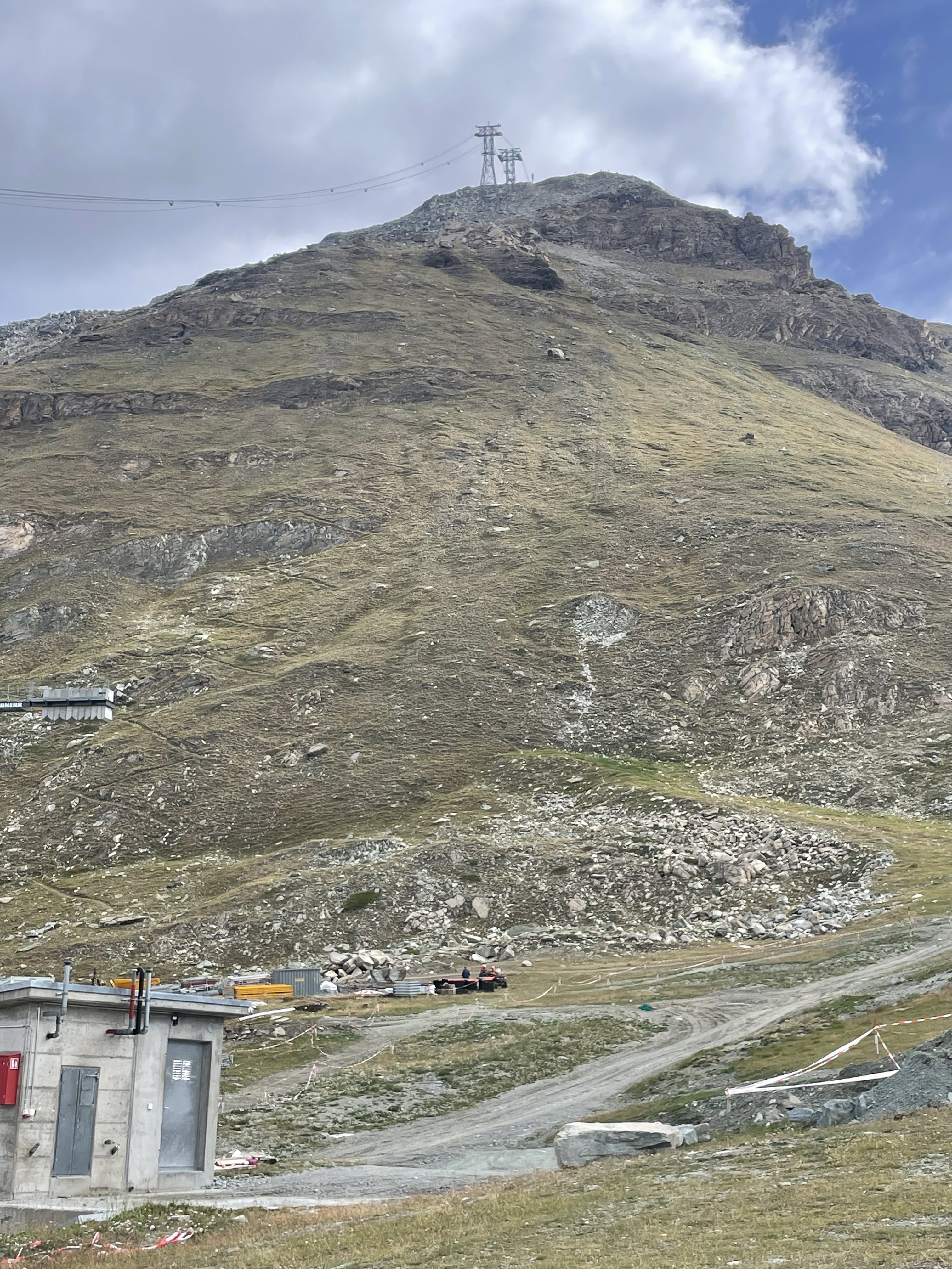
Looking back up Unterrothorn after hiking to the summit.
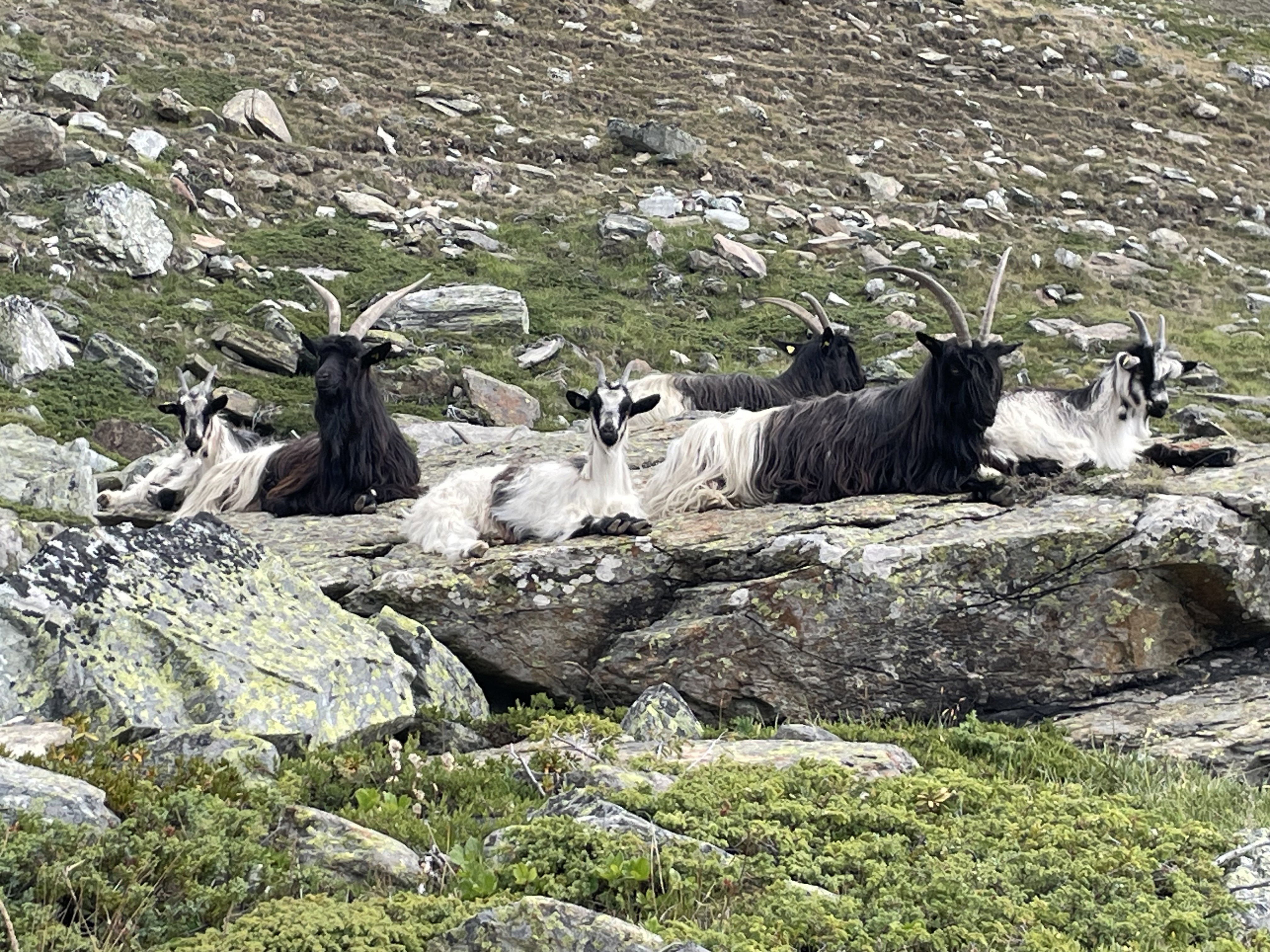
Mountain Goats
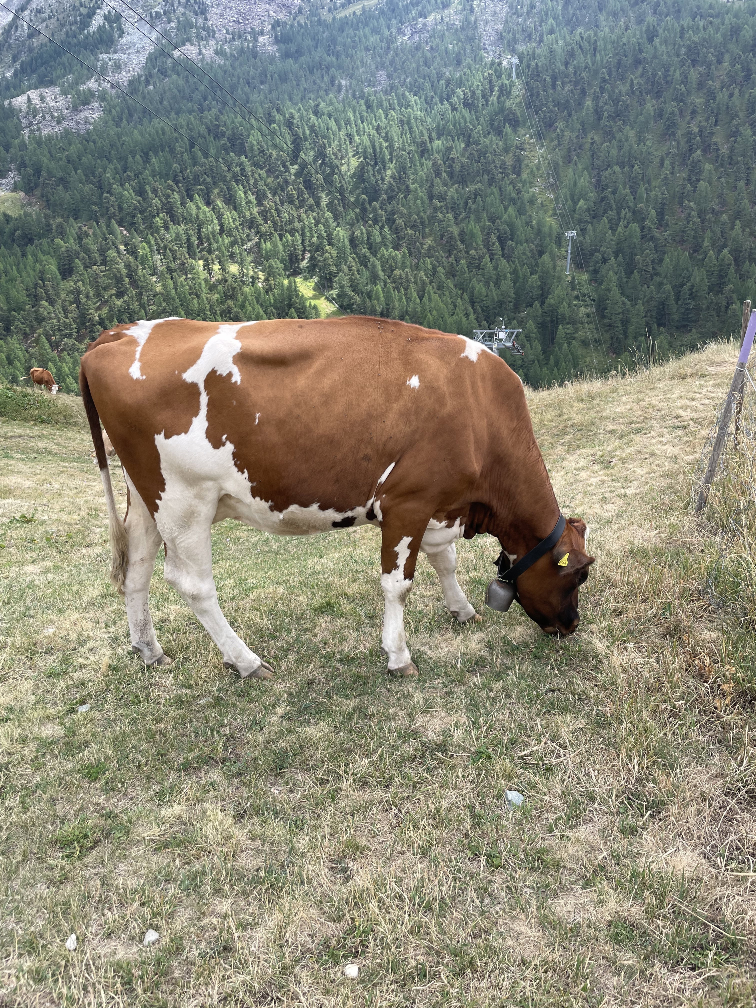
Swiss Cow
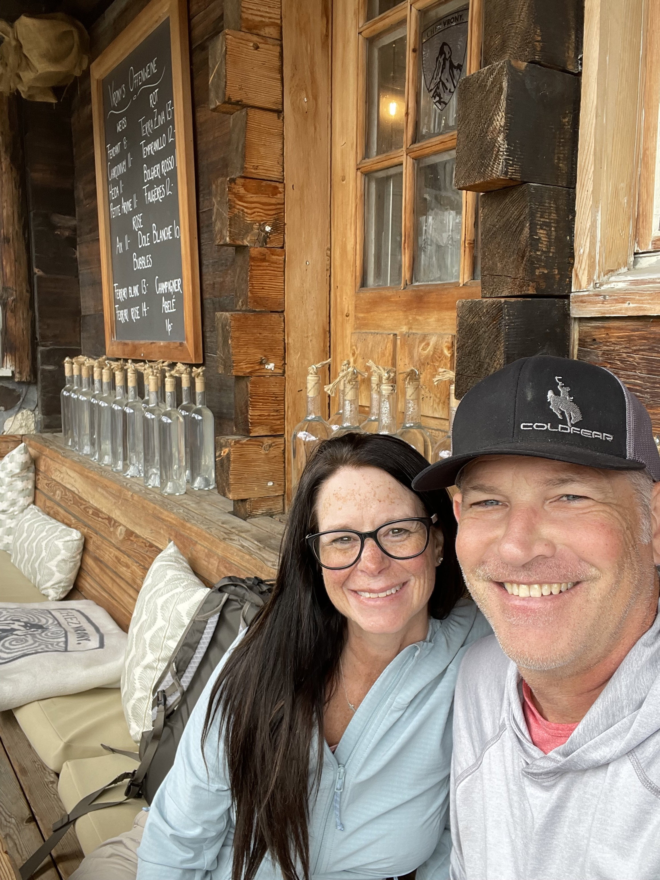
Lunch at Chez Vrony.
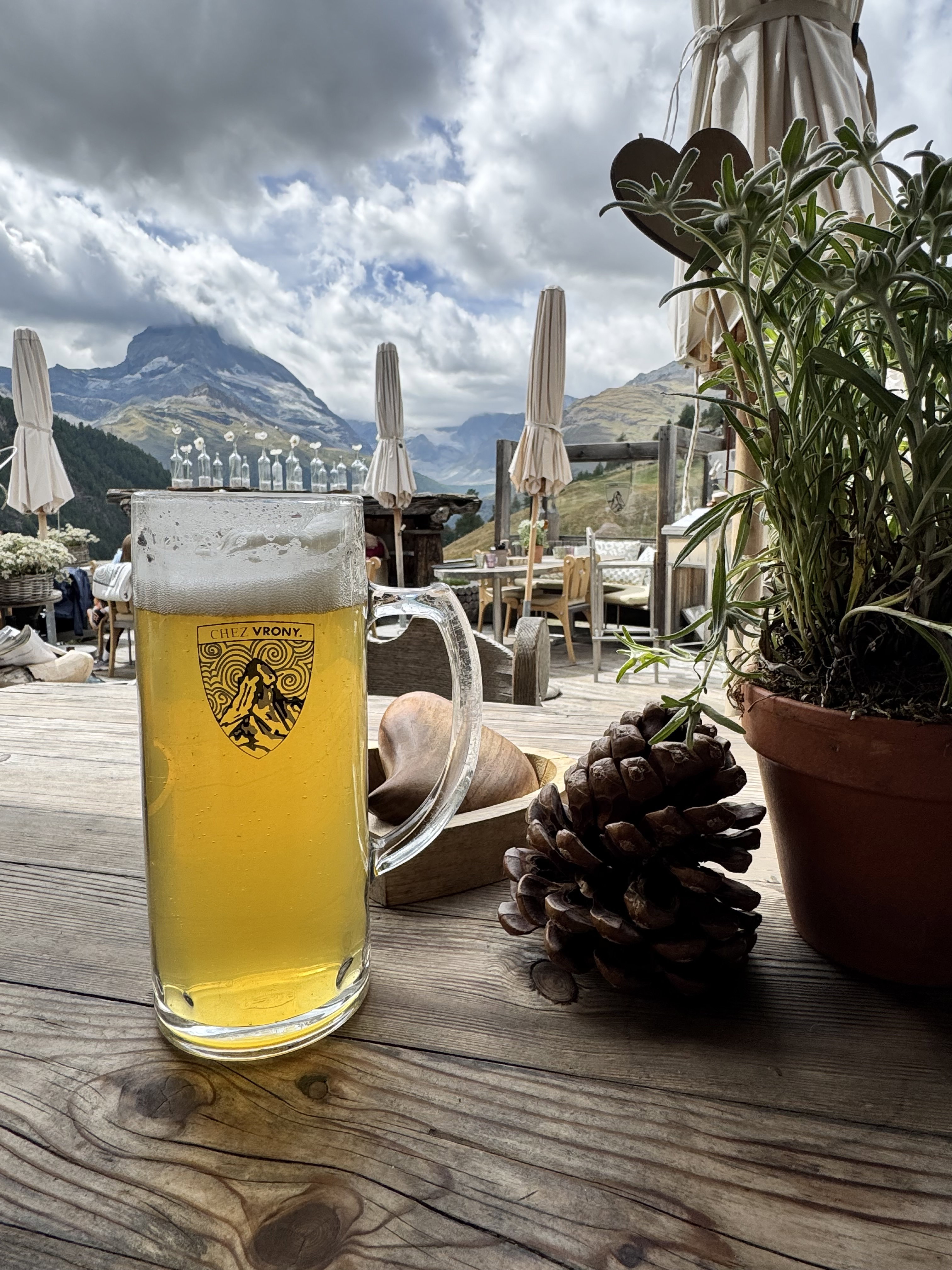
The views from Chez Vrony.

Smoked Salmon Rosti
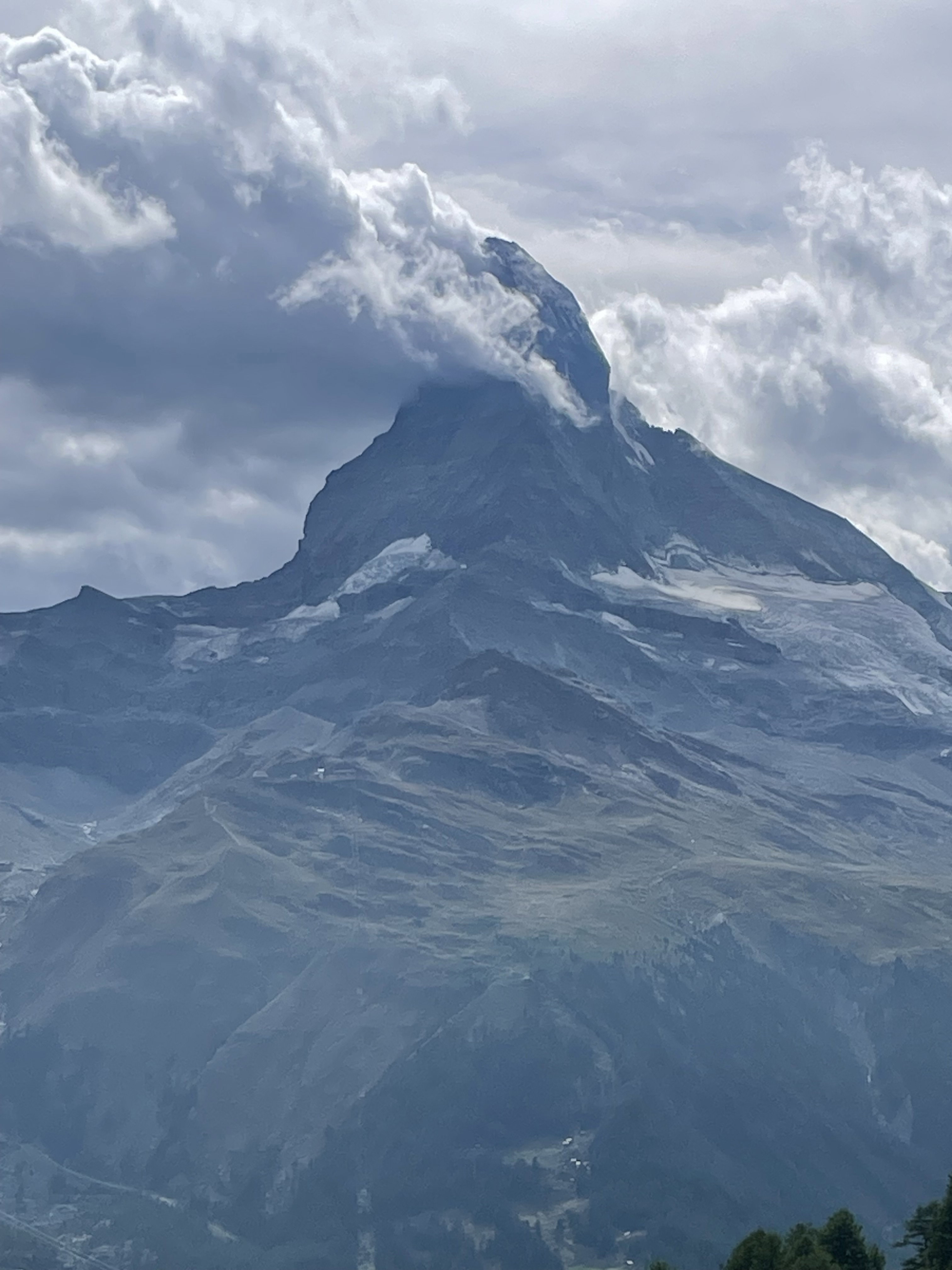
The Matterhorn on the hike back down to Zermatt.