
Spearhead Mtn./Kataka Mtn.
Statistics
- Date - 07/31/2026
- Elevation - 11,244'/12,441'
- Route - Northeast Slopes/South Slopes
- Miles - 10.0
- Elevation Gain - 4,085'
- ACME Mapper - Link
- CalTopo - Link
- Partners - Not Applicable
Description
I was hoping to get some elevation in on this hike, but I didn't feel like driving very far. Additionally, most of the Colorado Bi-Centennial Peaks I have left to hike are in southwest Colorado in the San Juan Mountain Range so adding summits to that list wasn't an option with the time I had. As a result, I simply scoured the topographical maps for a couple of named peaks closer to Denver, Colorado, and decided on Spearhead Mountain and Kataka Mountain. I had considered adding Arrowhead Peak to the day; however, scouting the route to this summit from Kataka Mountain would have required adding significant distance or considerable and miserable bushwhacking. I wasn't interested in either of these options and simply hiked Spearhead and Kataka.
I was up at 4:30 am and on the road shortly thereafter. The trailhead is a few miles up the Guanella Pass Scenic Byway north of Grant, Colorado. I was hiking by 6:15 am and followed the Three Mile Creek Trail northeast for 3 miles to 10,600'. This is actually a really nice trail next to the creek with numerous bridge crossings and enjoyable scenery. I left the trail at 10,600' and hiked cross country through trees up the northeast slopes of Spearhead Mountain to the summit which I reached after about 4 miles and 2,300'. The views from the top are obscured by trees given the lower elevation of the summit which is basically at treeline.
I dropped off the summit of Spearhead and was quickly back at the trail, crossing Three Mile Creek, and picking my route up through the trees of the south slopes of Kataka Mountain, which I scouted from he descent of Spearhead Mountain. Similar to my first peak of the day, the terrain up Kataka was moderately thick, but not terribly difficult to navigate as I worked my way through less dense areas and utilized various game trails. At approximately 11,800' I was clear of all trees and hiking up firm tundra and solid rock. I reached the flat summit of Kataka Mountain at 11:15 am with good weather and great views of the surrounding area.
To the north and east I could see the many peaks I had climbed over the years including Landslide, Geneva, Sullivan, Santa Fe, Silver, Revenue, Decatur, Argentine, Wilcox, Edwards, Bierstadt, Evans, Epaulet, Epaulie, Rosalie, and Bandit. I took an extended rest on the summit before returning the way I had ascended and finding the Three Mile Creek Trail back at 10,600'. The trail hike out went quickly and I only saw three other people close to the trailhead. I was back at my vehicle at 1:40 pm for a 7 hour and 25 minute car-to-car day with 10 minutes on Spearhead Mountain and 30 minutes on Kataka Mountain.
Photos
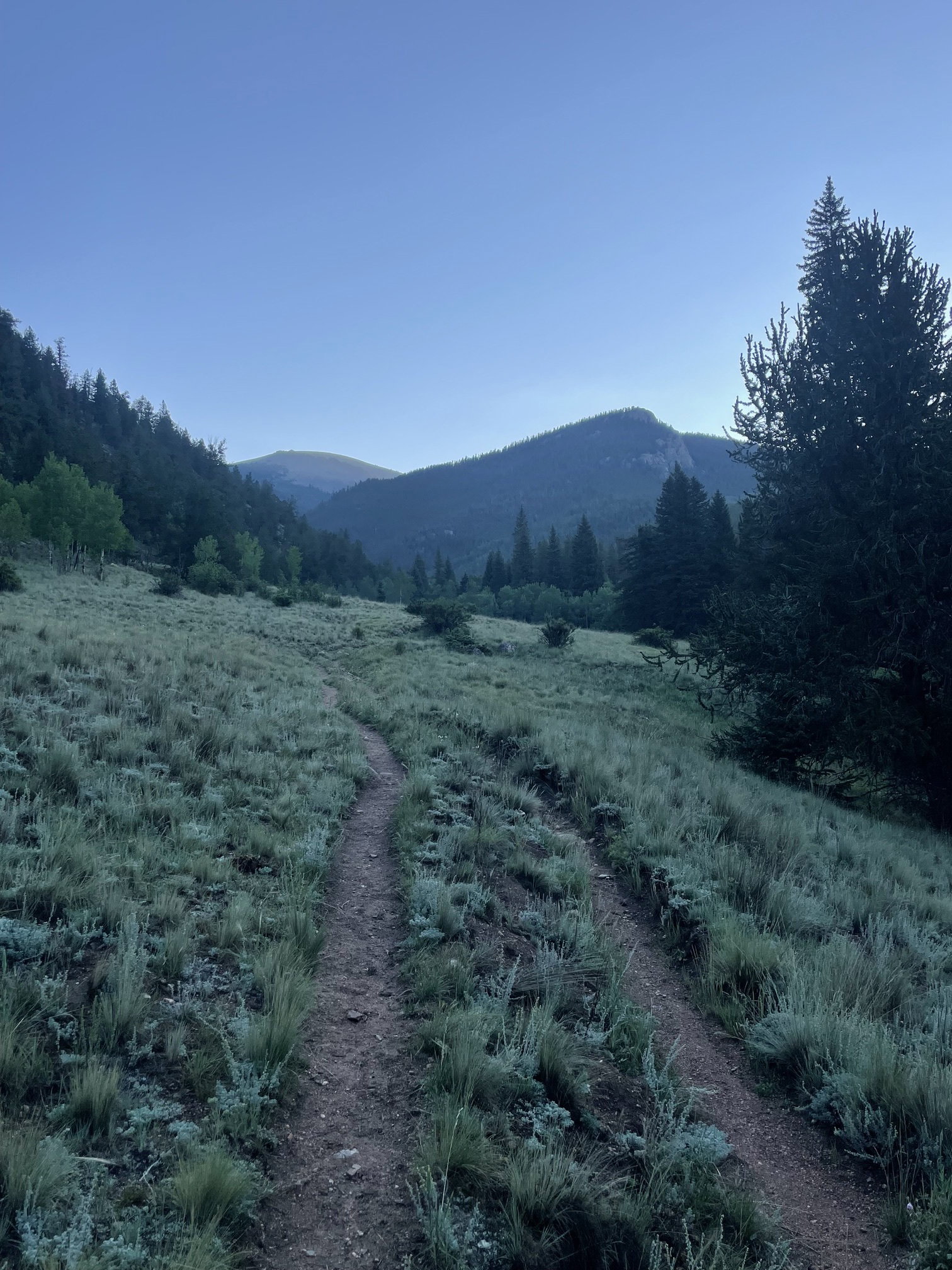
My first look at Kataka Mountain and Spearhead Mountain from the trail.
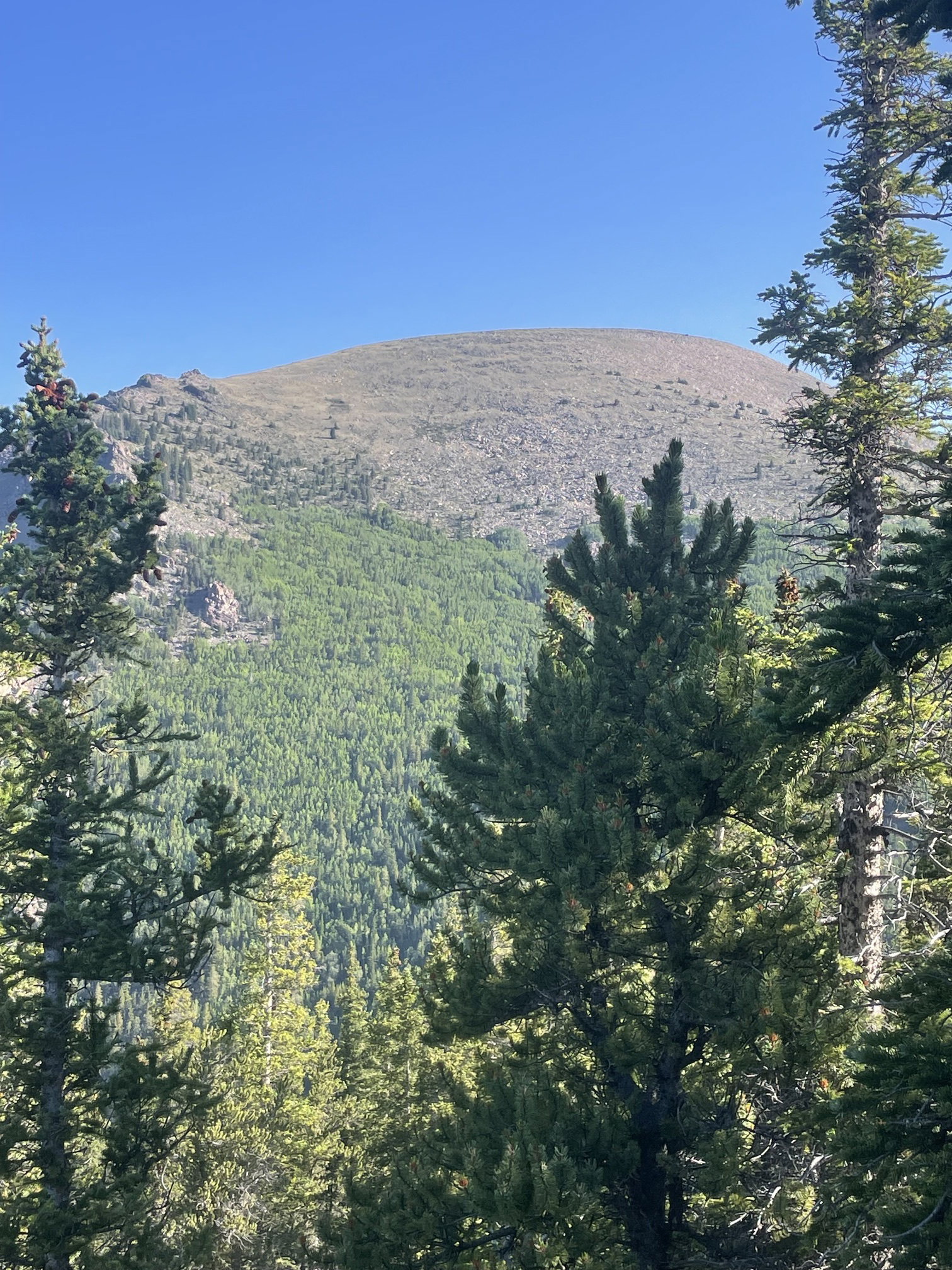
Kataka Mountain from near the summit of Spearhead Mountain.
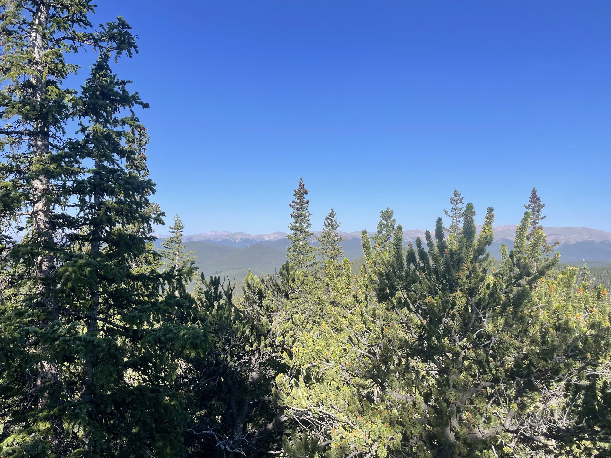
Views from the summit of Spearhead Mountain were fairly obscured.
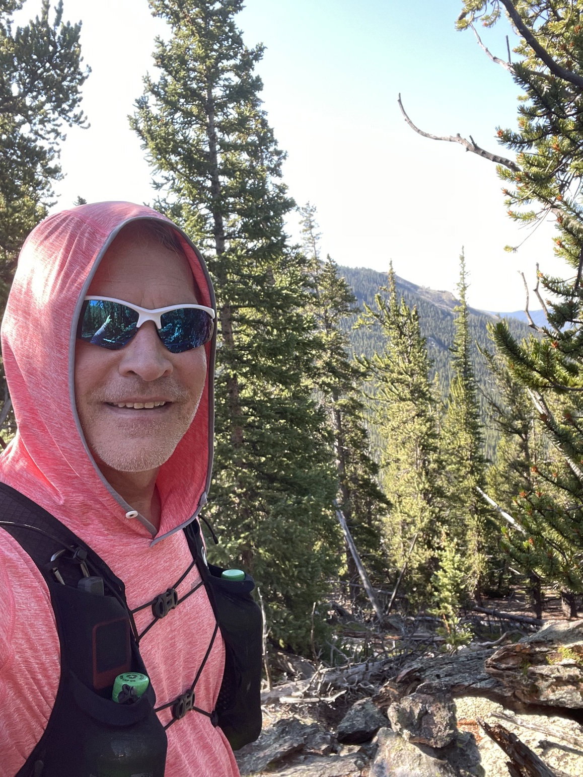
Summit Photo (Spearhead Mountain)
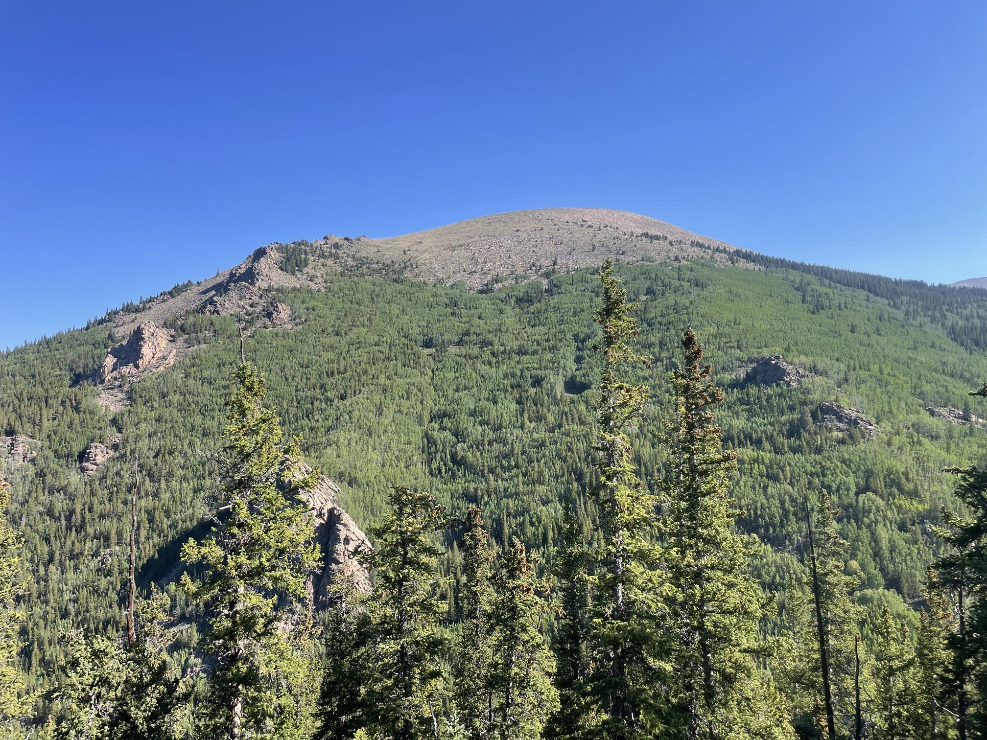
Kataka Mountain from the northeast slopes of Spearhead Mountain.
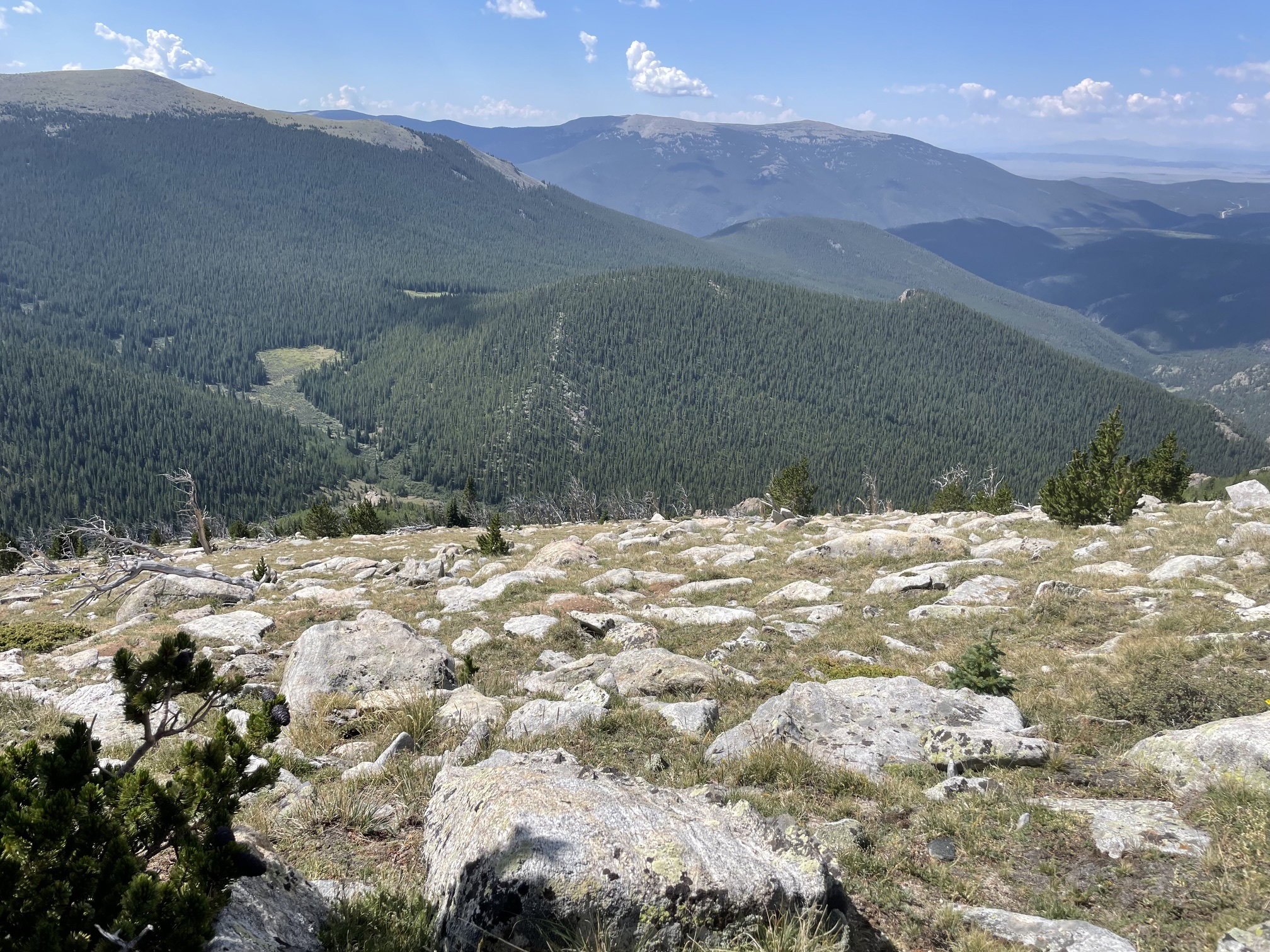
Spearhead Mountain below after breaking through treeline on Kataka Mountain.
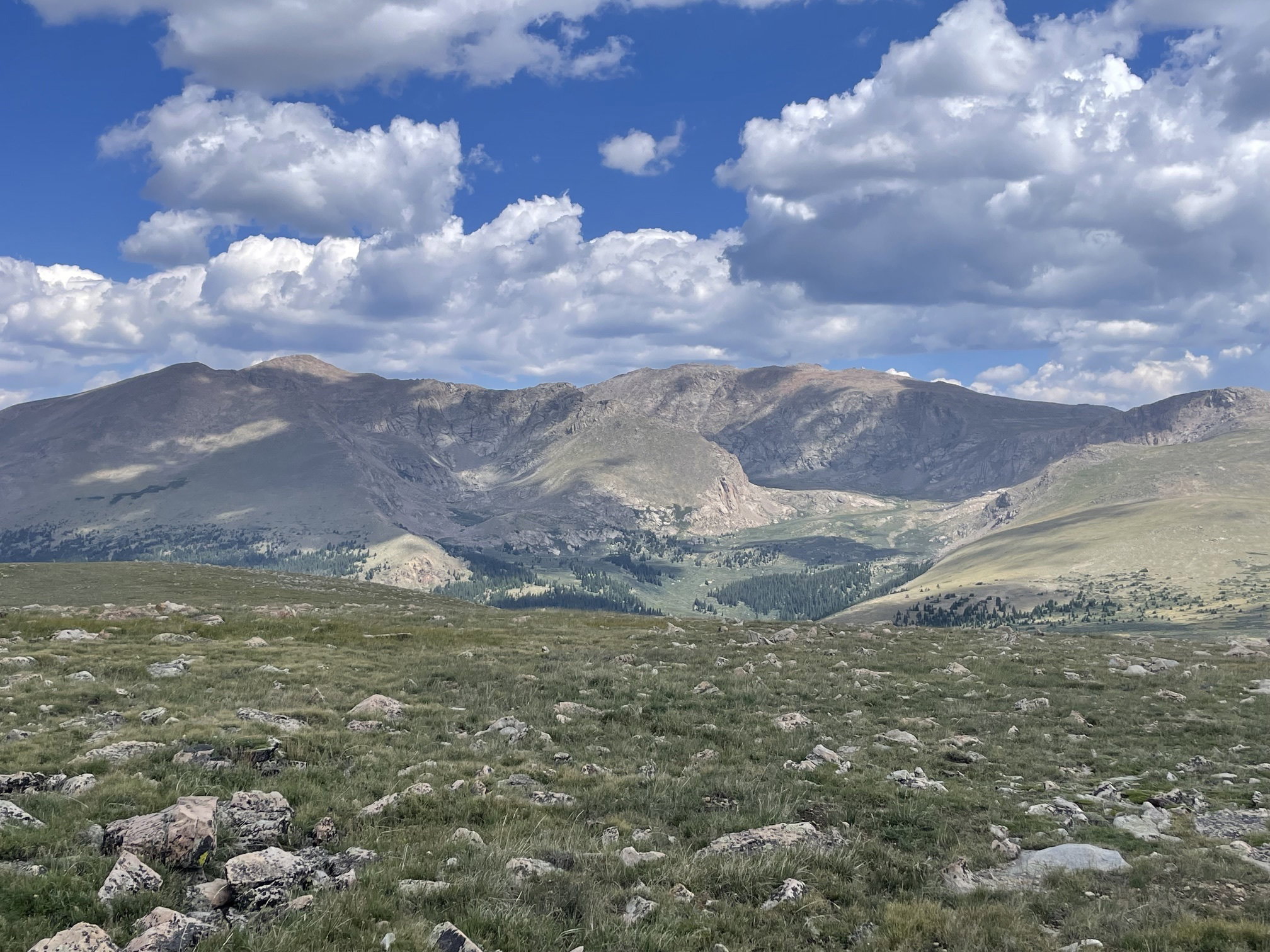
Mount Bierstadt and Mount Evans to the north from Kataka Mountain.
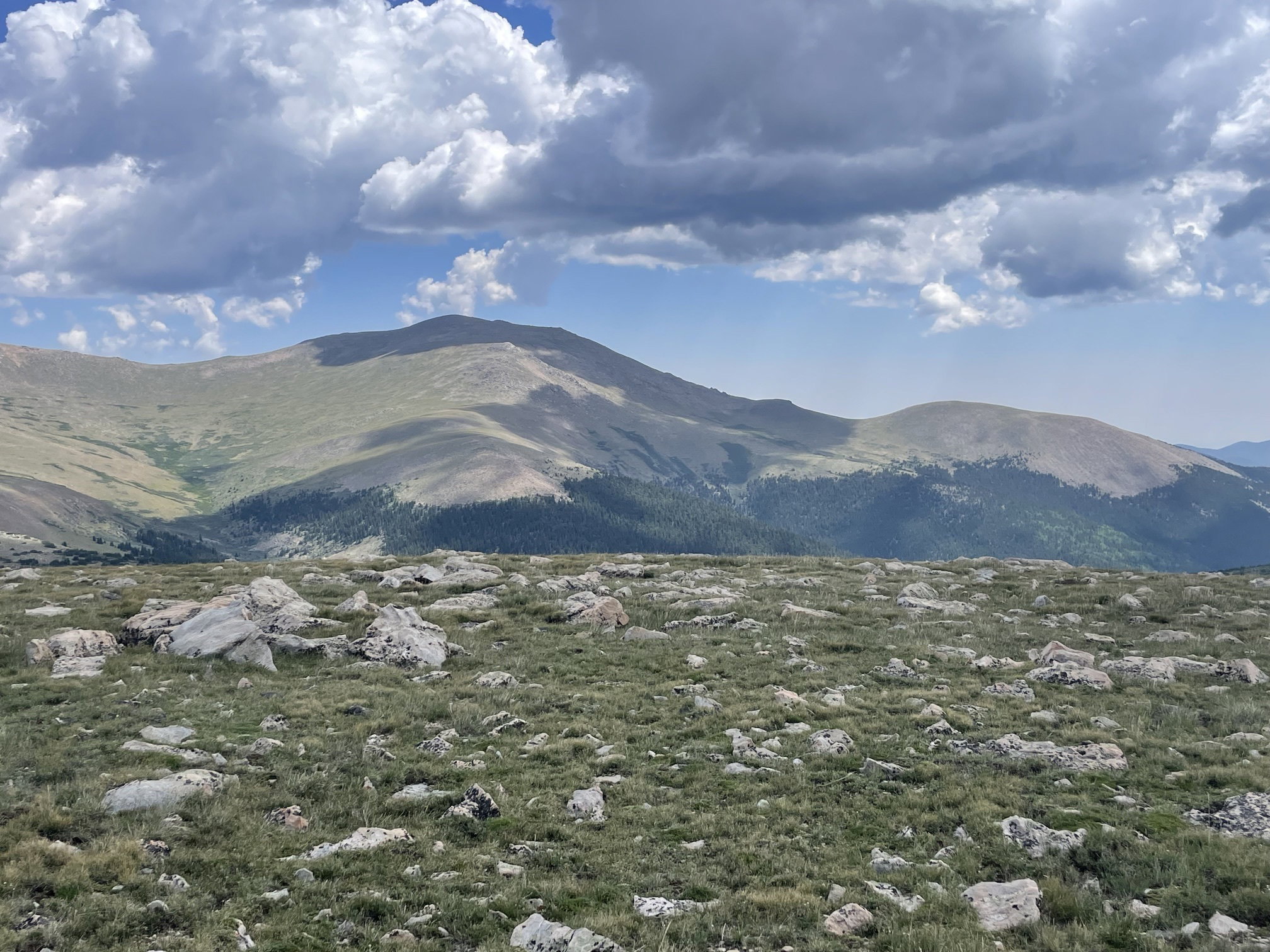
Rosalie Peak and Bandit Peak to the east from Kataka Mountain.
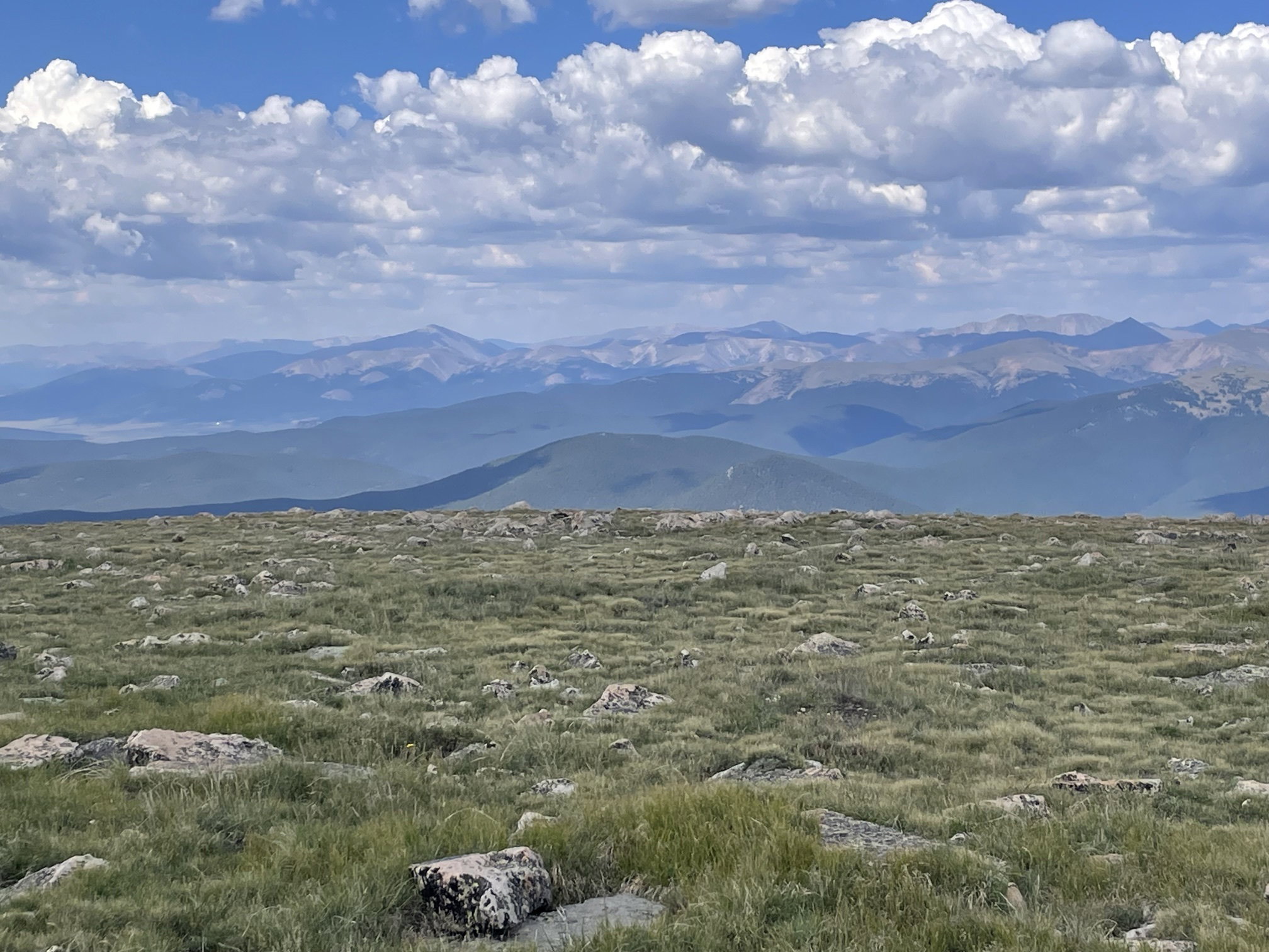
Views to the west from Kataka Mountain.
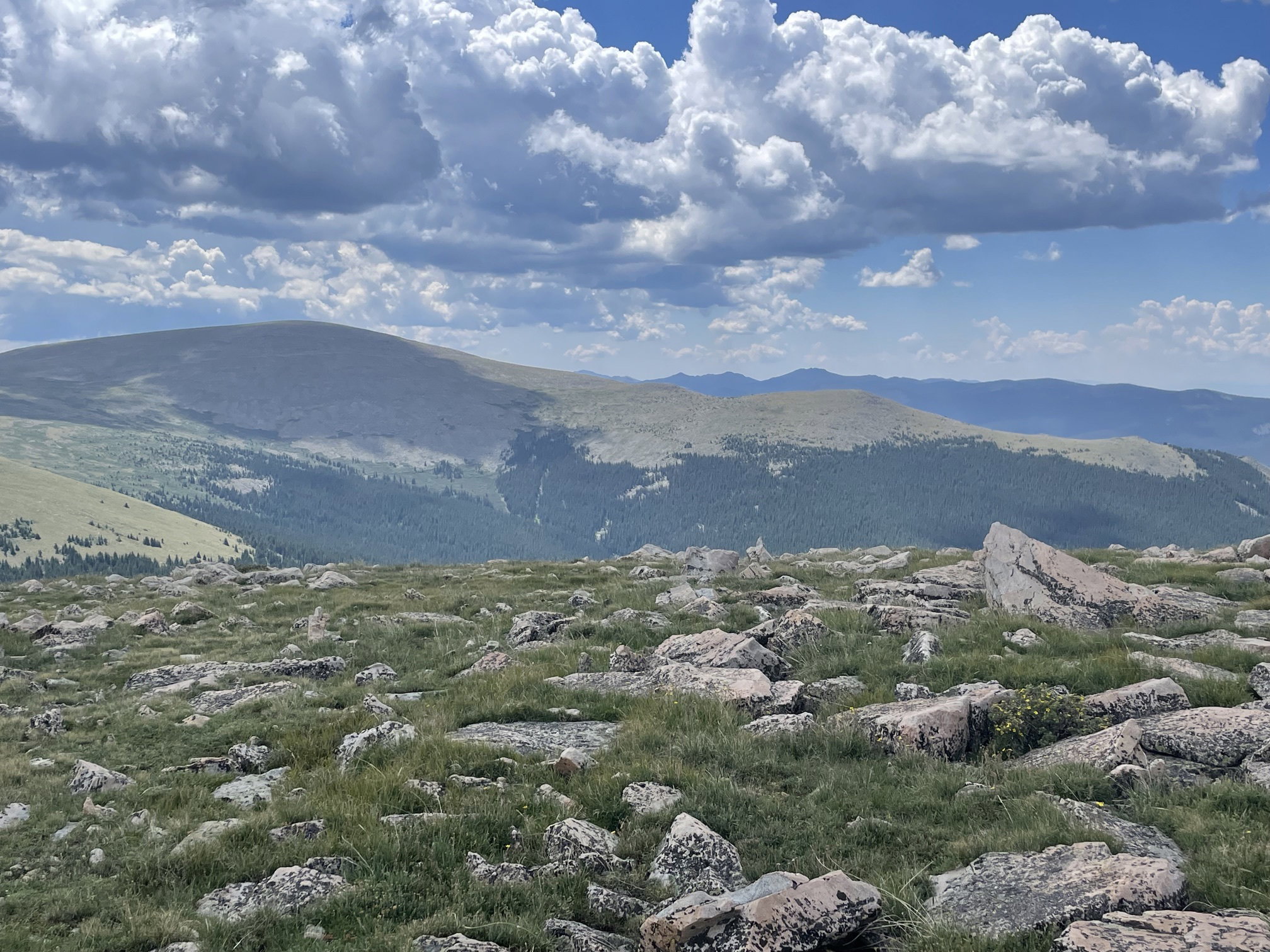
Mount Logan to the south from Kataka Mountain.
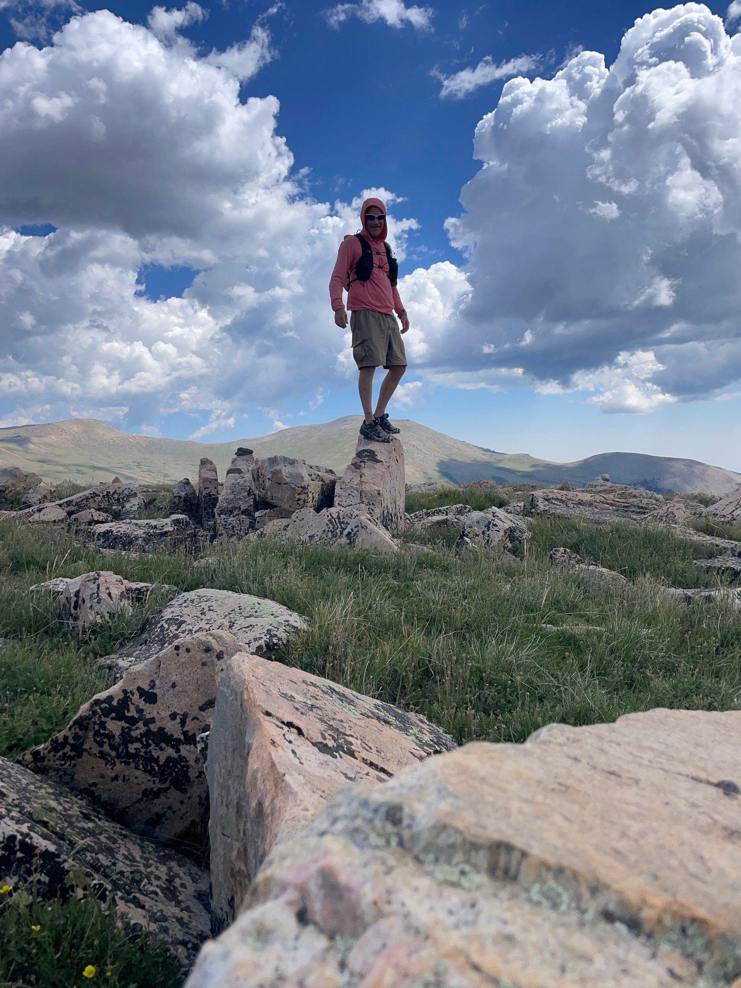
Summit Photo (Kataka Mountain)