
Rough Mountain
Statistics
- Date - 06/08/2026
- Elevation - 11,138'
- Route - North Ridge
- Miles - 4.2
- Elevation Gain - 2,038'
- ACME Mapper - Link
- CalTopo - Link
- Partners - Not Applicable
Description
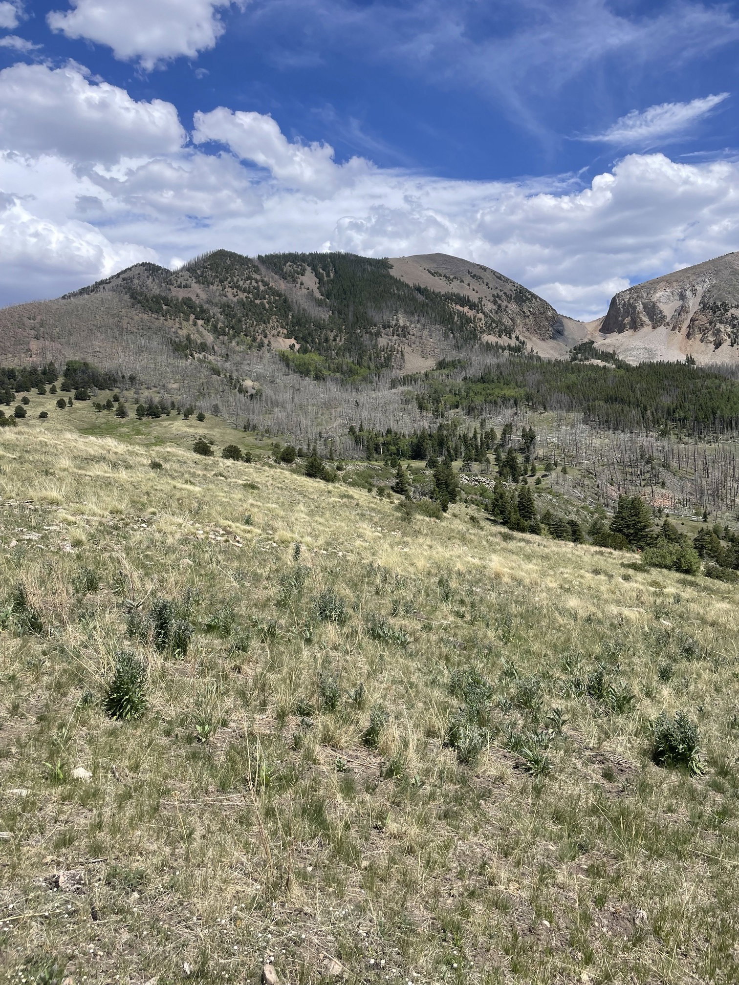
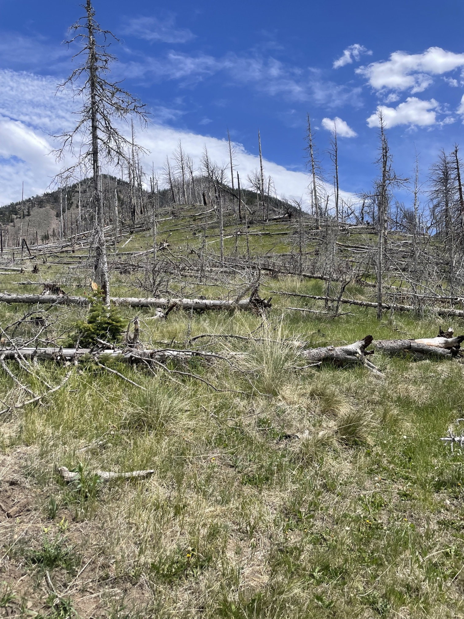
On my drive to the San Luis Valley, I decided to stop on Colorado Highway 160 and hike to Rough Mountain to the east of La Veta Pass. I found a track on the peakbagger website, and simply followed those directions. There was no trail at all, although I was able to follow some old roads and several game trails throughout the afternoon to make the cross-country hiking a bit easier.
Photos
Rough Mountain
Rough Mountain
A false summit from 10,000' at the base of the north ridge.
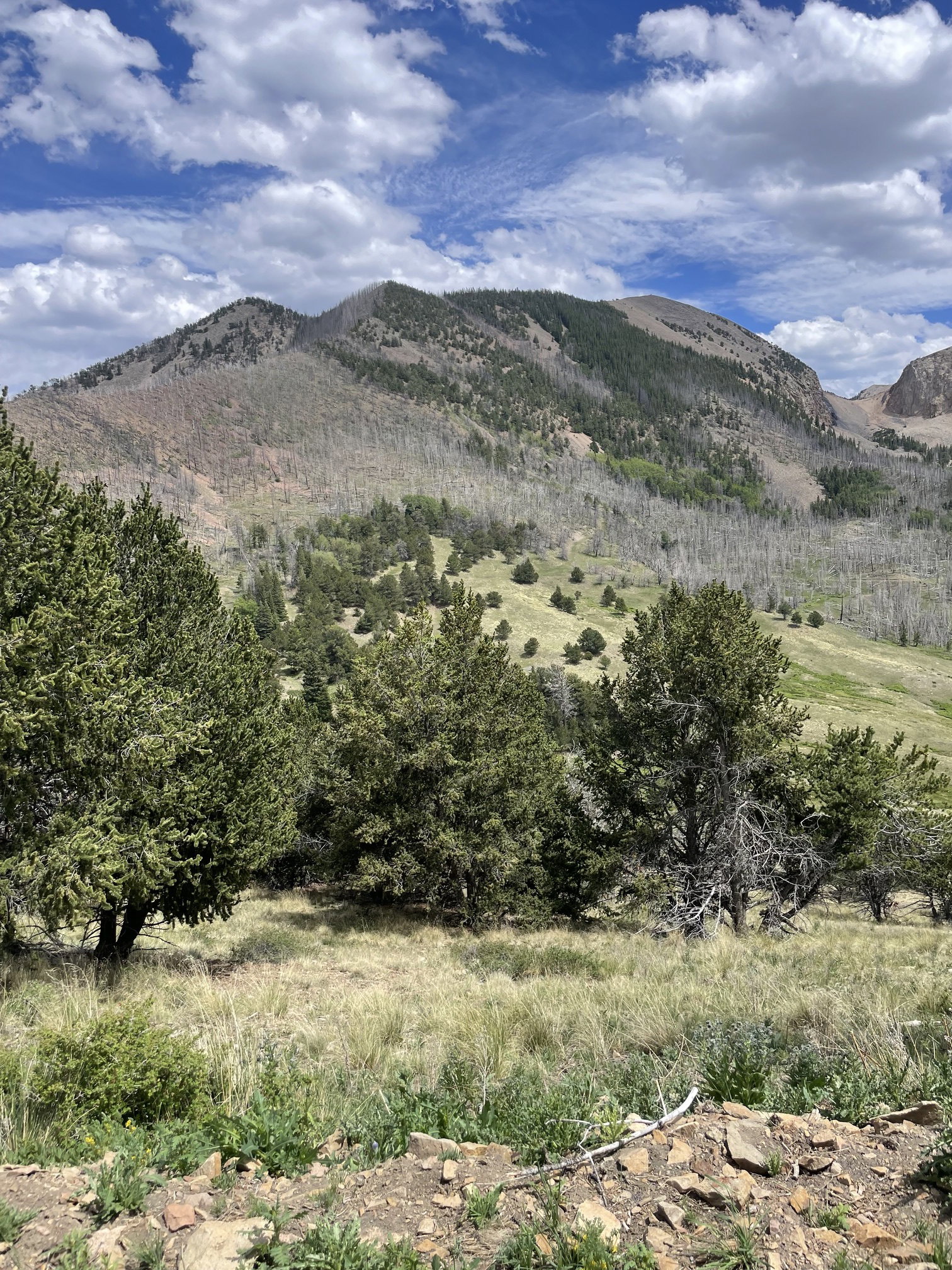
Rough Mountain from the false summit along the north ridge.
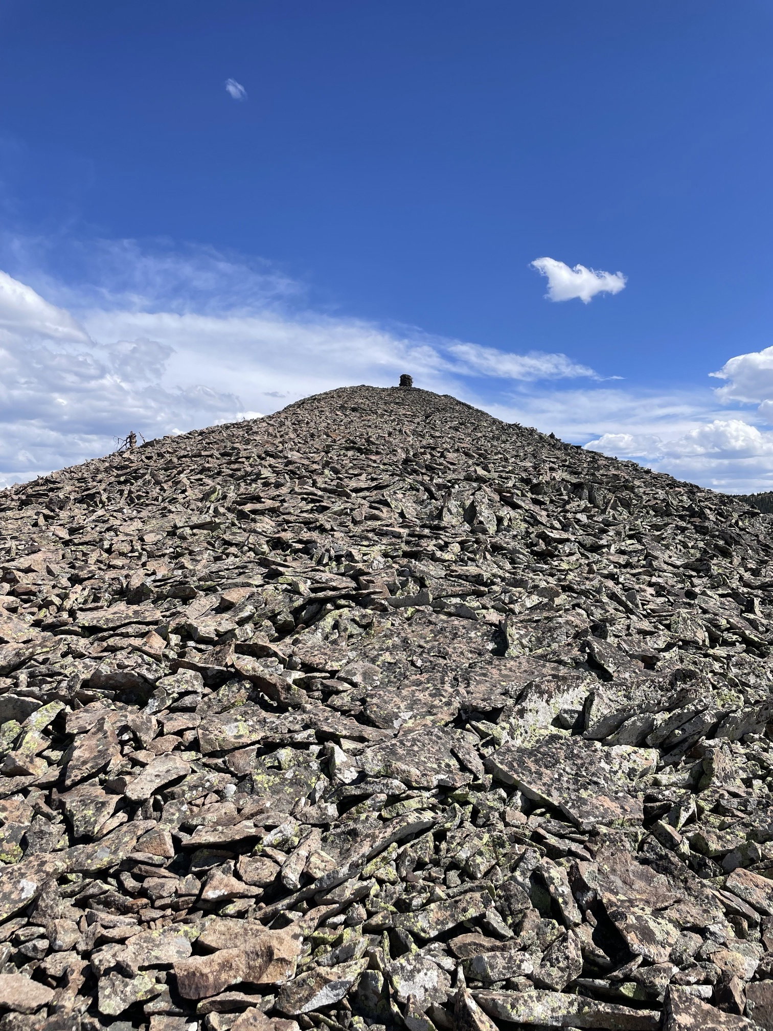
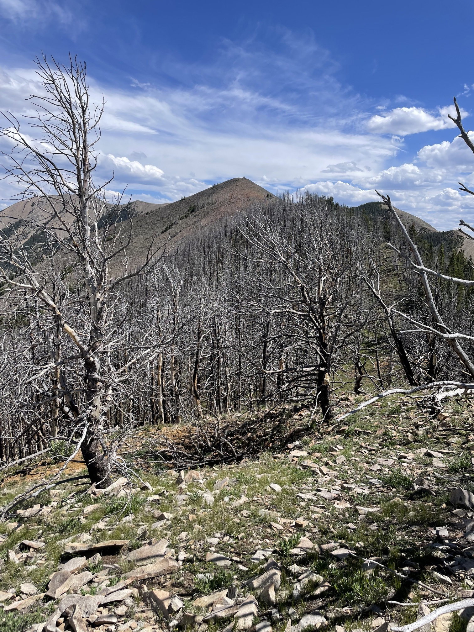
The final stretch to the summit and huge cairn.
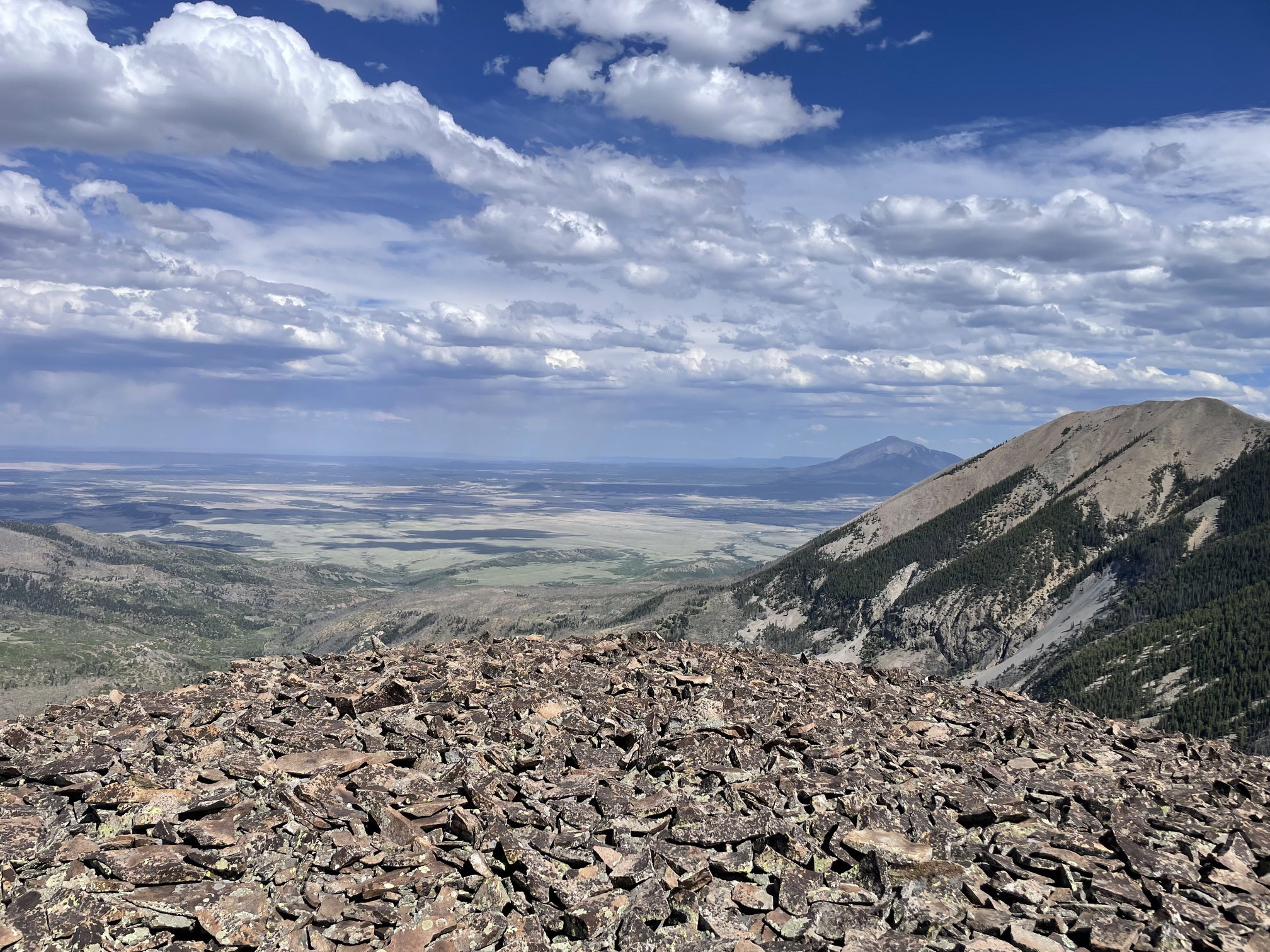
Views to the north.
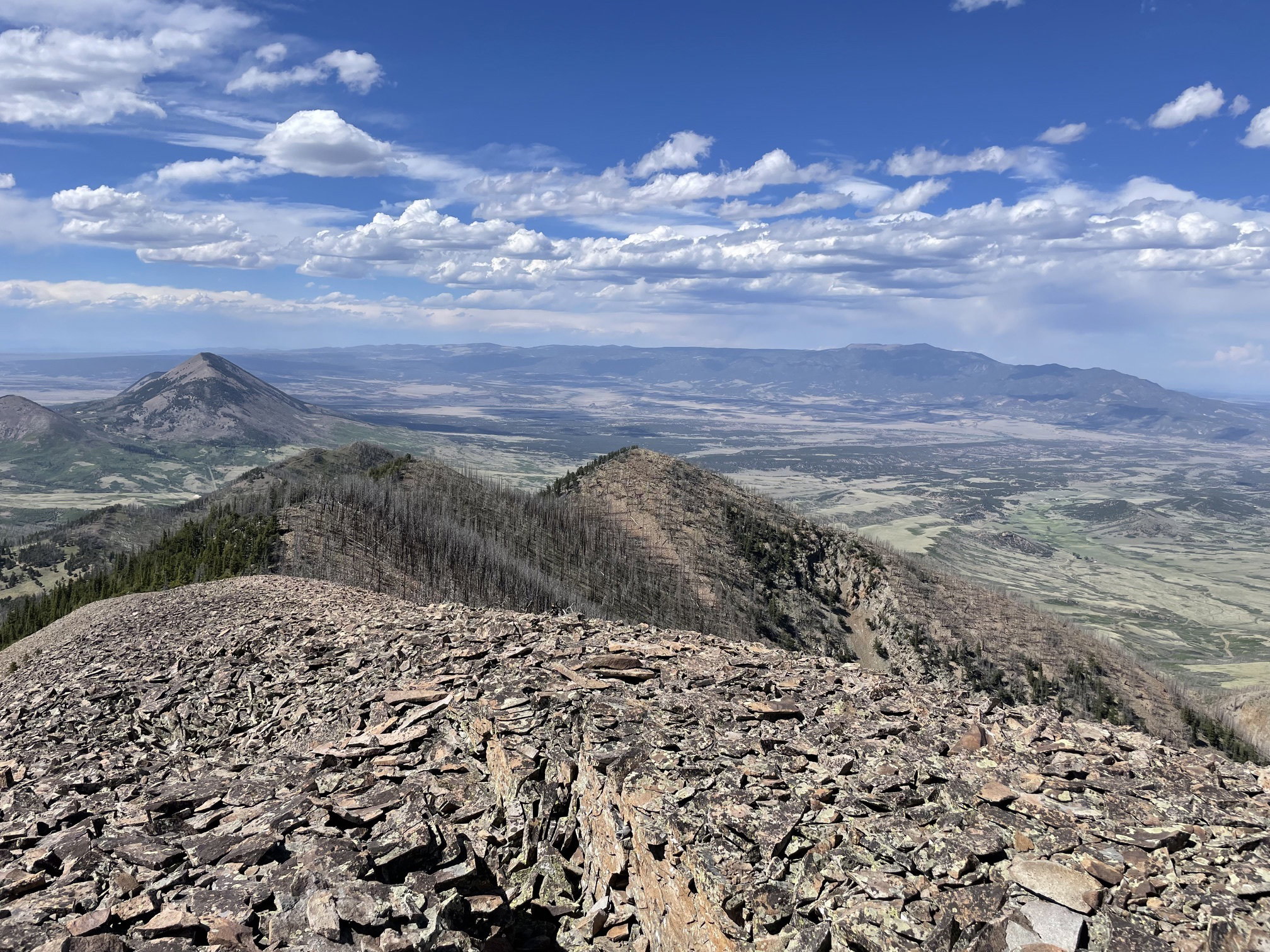
Views to the east with East Spanish Peak in the background Mount Mestas in the foreground.
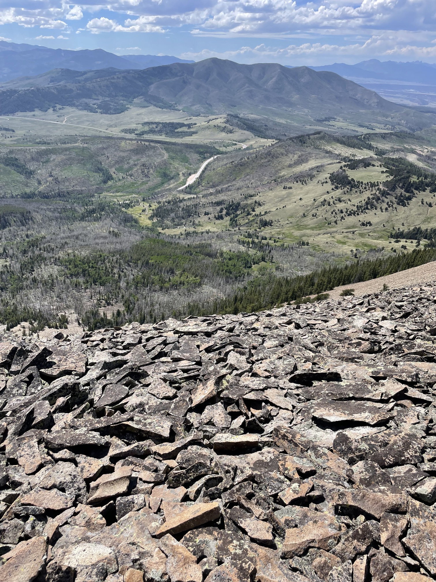
Views to the west and La Veta Pass.
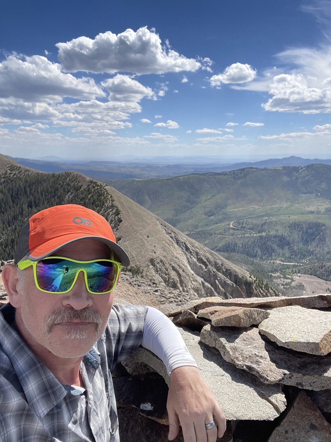
Summit Photo