
Point 12382/Teller Mtn./Handcart Pk./Red Cone
Statistics
- Date - 06/24/2026
- Elevation - 12,382'/12,615'/12,518'/12,801'
- Route - Northeast Ridge/South Slopes/Northwest Slopes/North Ridge
- Miles - 7.3
- Elevation Gain - 2,953'
- ACME Mapper - Link
- CalTopo - Link
- Partners - Not Applicable
Description
My intention for this trip was to hike Handcart Peak, Teller Mountain, and Red Cone from below Webster Pass. I accidentally climbed Point 13382 thinking it was Handcart Peak and it was on the peakbagger website, so I added it to my peak list despite being a fairly weak summit.
I'm confident I could have driven my Toyota FJ Cruiser all the way to Webster Pass, but I stopped at the creek crossing at 11,200' in order to get more elevation. I cut the three main road switchbacks to shorten the distance and was quickly on Webster Pass. I turned left and started up the northeast ridge of Point 13382 thinking it was Handcart Peak. I reached the summit and found a cairn and sign. After a couple photos, I dropped southwest and picked up the Continental Divide Trail nearly all the way to Teller Mountain. The trail bypasses Handcart Peak on it's north side and doesn't cross over Handcart Peak.
While resting on Teller Mountain, I looked across the valley to the southeast and figured out I hadn't actually reached Handcart Peak. It wasn't a big deal since I had to retrace my route back to Webster Pass anyway. On the way back, instead of taking the Continental Divide Trail back to Webster Pass, I made sure to hike cross country to the southeast to reach the very broad and flat summit of Handcart Peak. I dropped down the northeast slopes of Handcart Peak and returned to Webster Pass bypassing Point 13382 on it's north side.
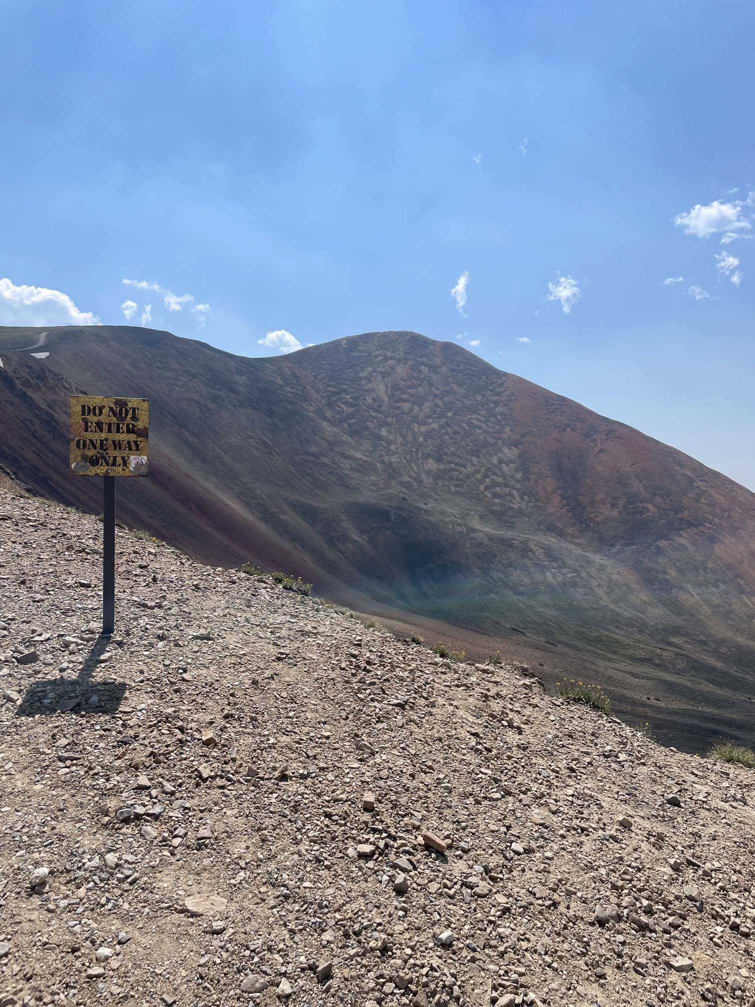
Once back at Webster Pass, there is a road that leads all the way to the summit of Red Cone. It is a one-way road from Red Cone to Webster Pass due to the steepness. After reaching the summit, I reversed my route again back to Webster Pass and skirted Point 12399 on its north side to avoid a bit of elevation gain and having to descend the steep and loose road. Although I reached this point too, it isn't on the peakbagger website and has very nominal relief from Red Cone, so I didn't add it to my list. I cut the road switchbacks again on the descent to my parked vehicle. It was a 4 hour and 35 minute car-to-car day from where I started.
Photos
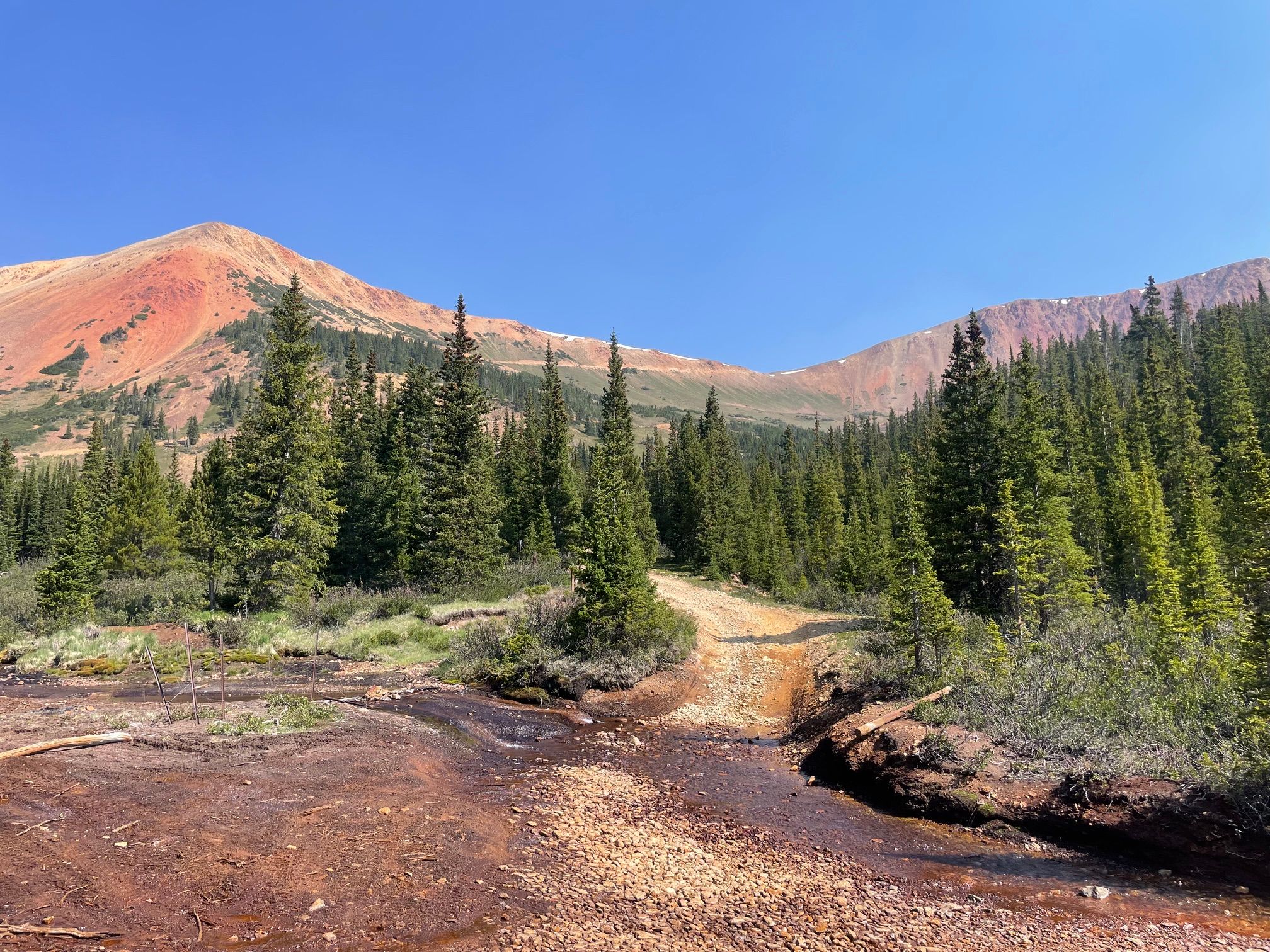
Point 12382 and Webster Pass from where I parked at 11,200'.
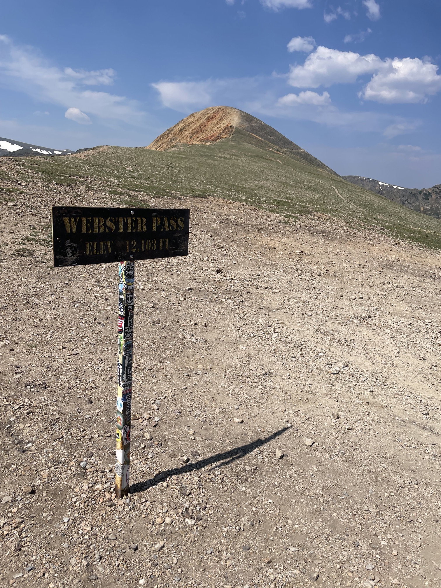
Red Cone from Webster Pass.
Point 12382 from Webster Pass.
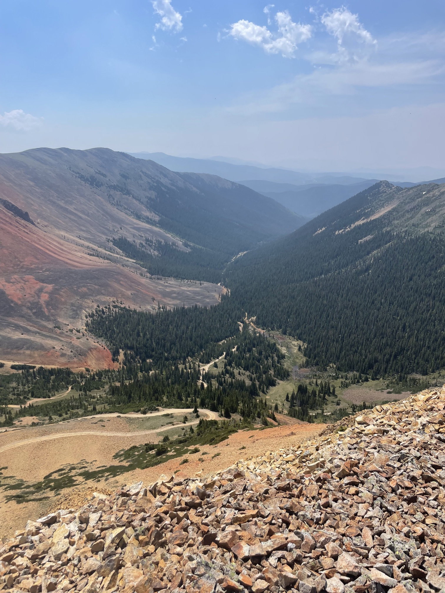
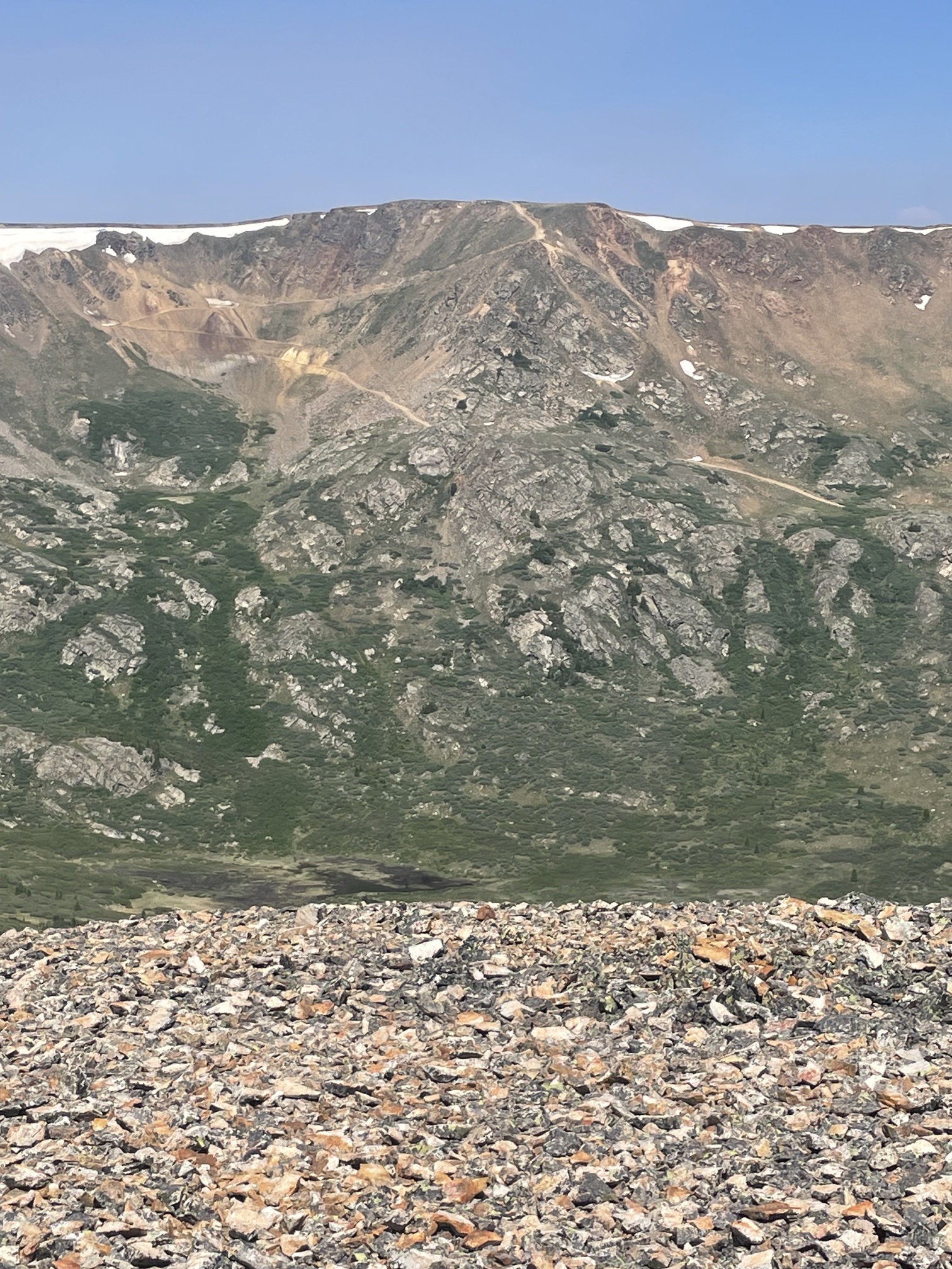
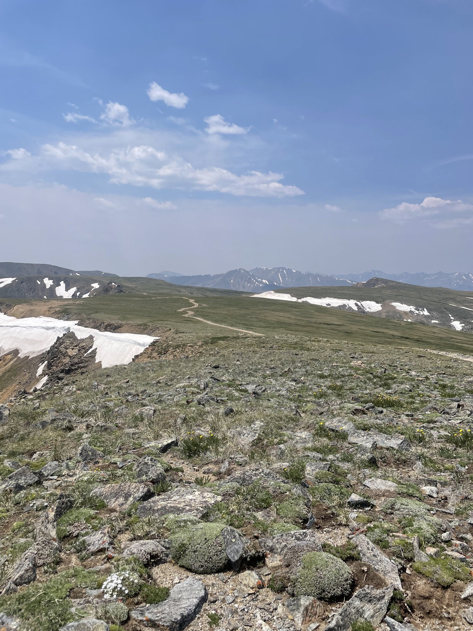
Handcart Gulch from Point 12382.
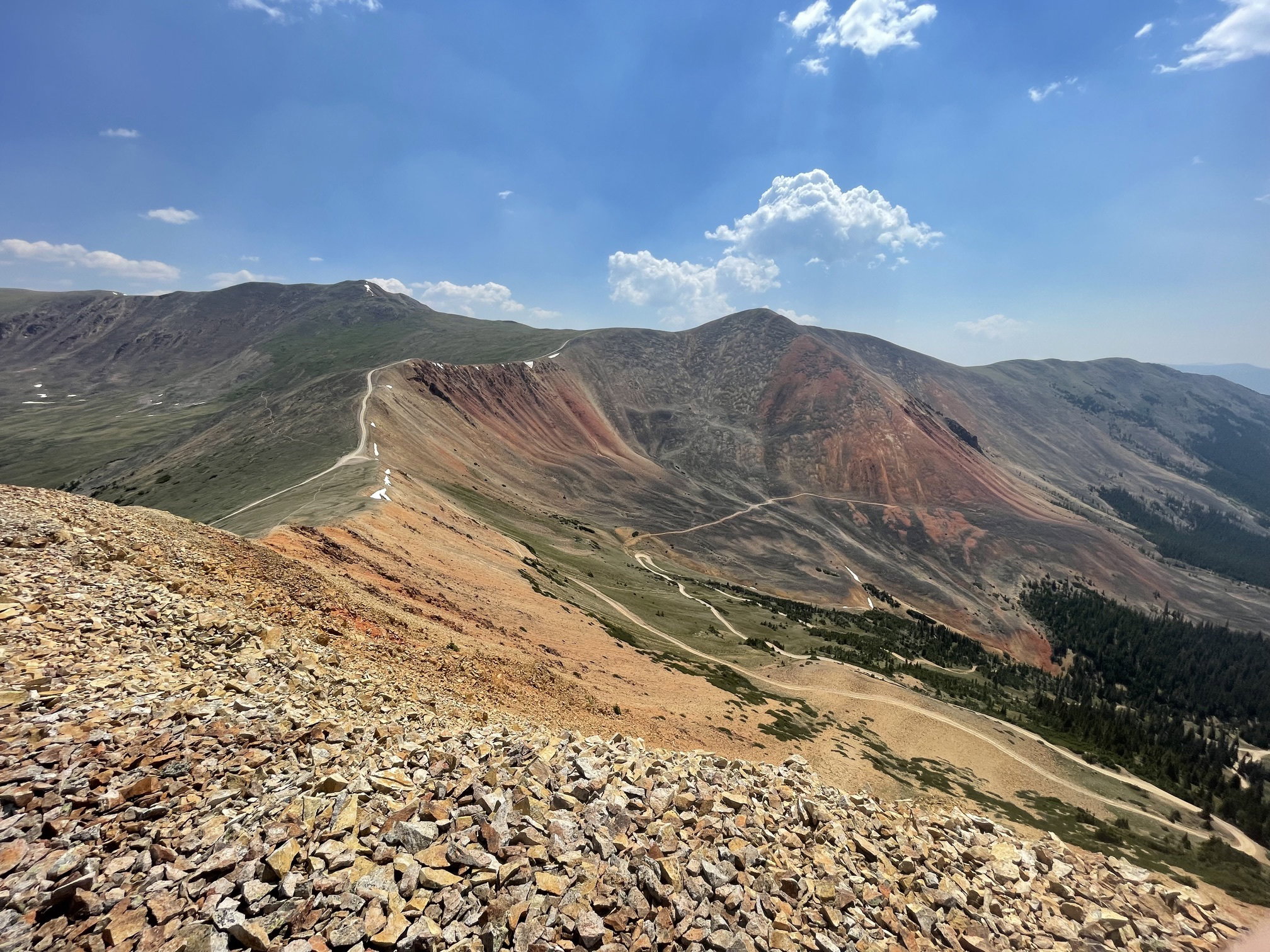
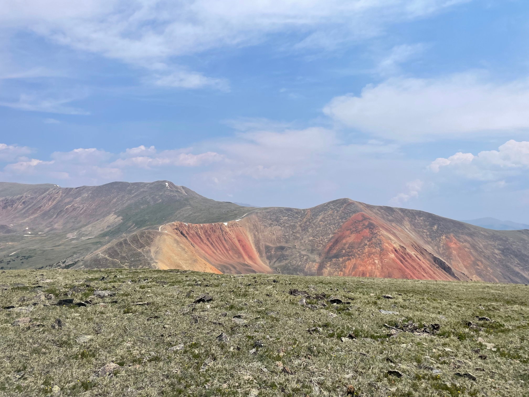
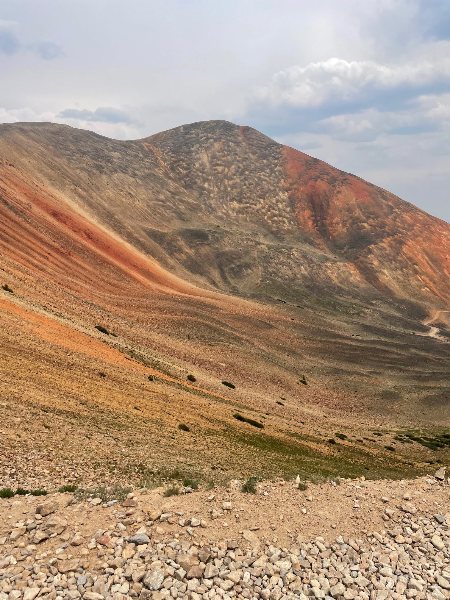
Landslide Peak and Red Cone from Point 12382.
Teller Mountain from Point 12382.

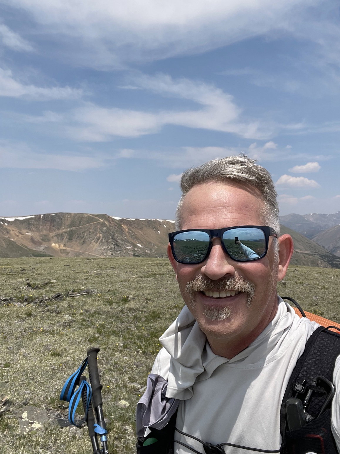
Summit Photo (Point 12382)
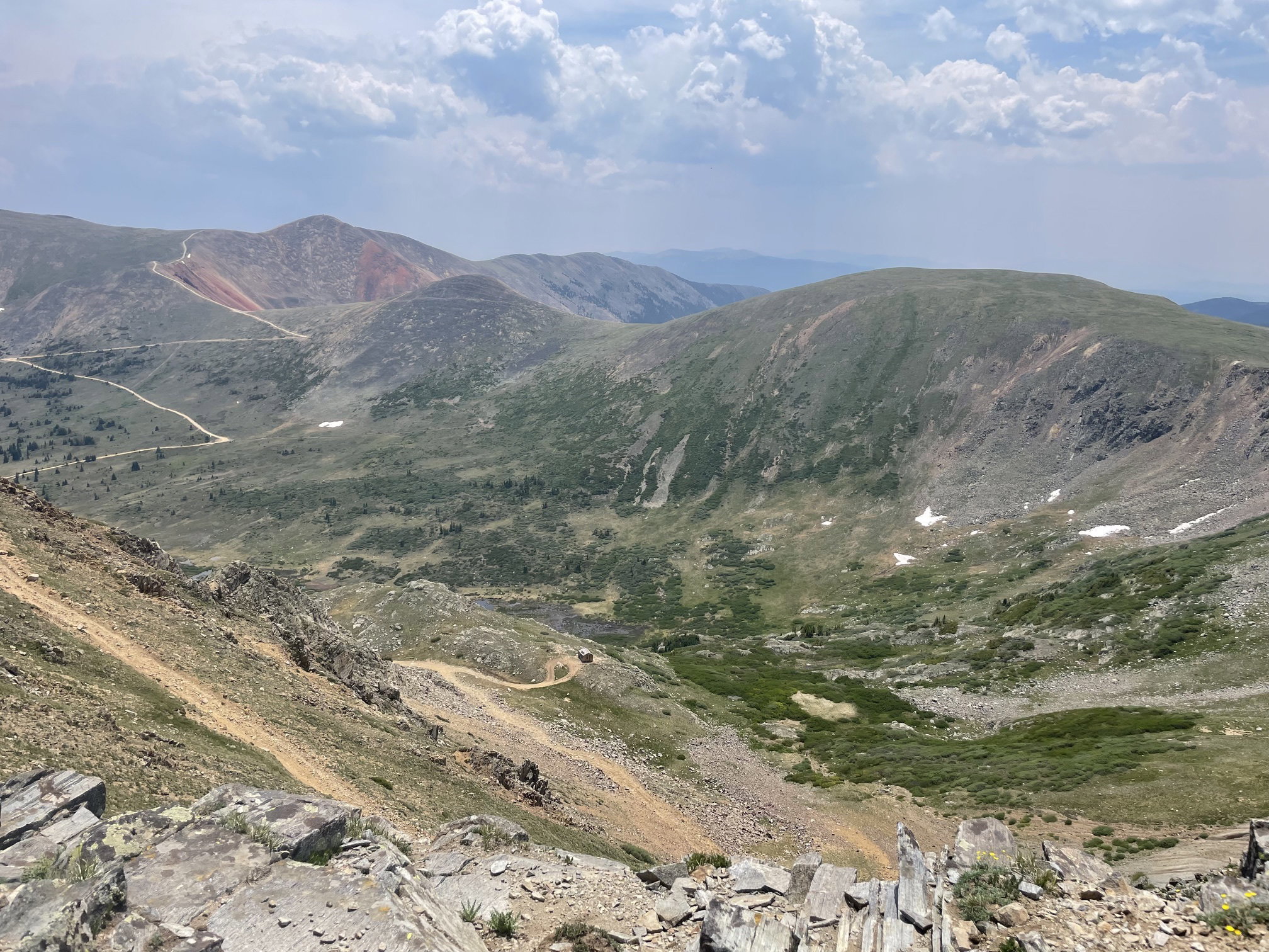
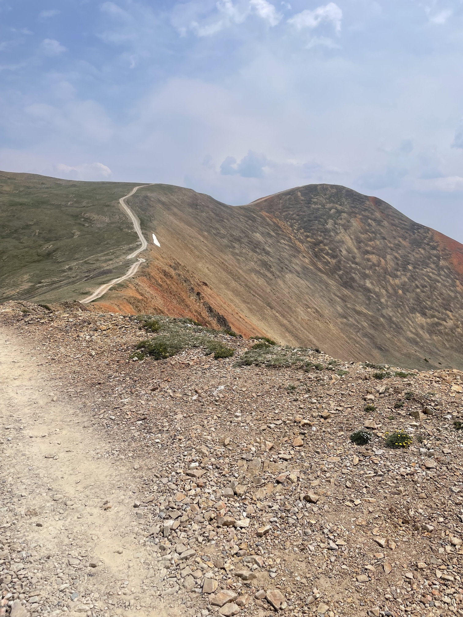
Red Cone, Point 12382, and Handcart Peak from Teller Mountain.
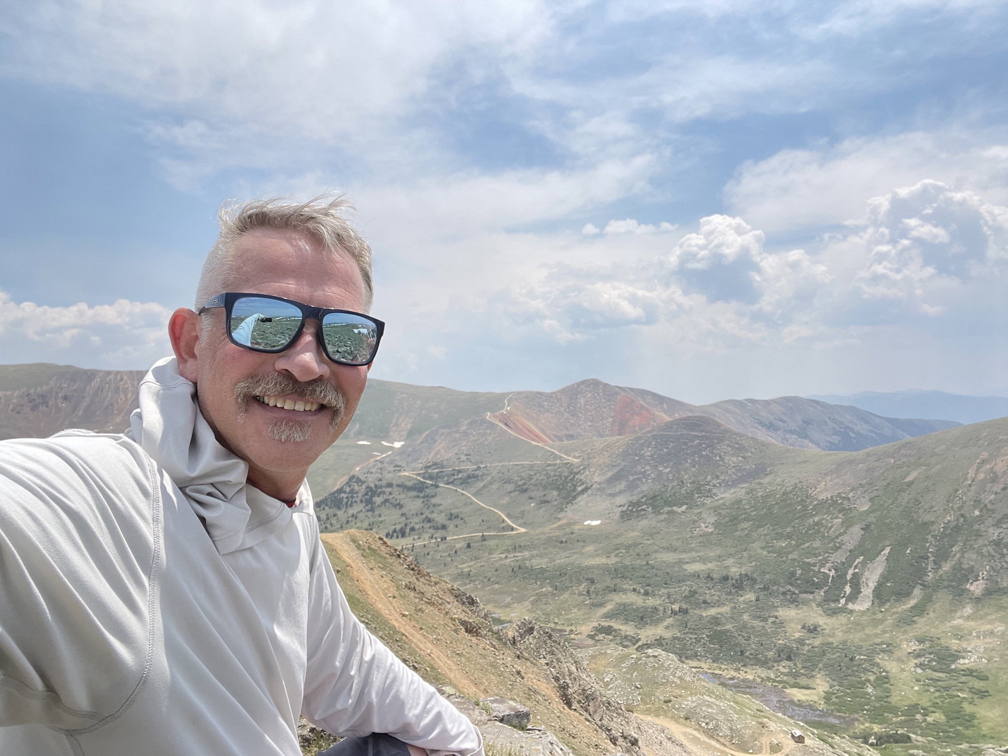
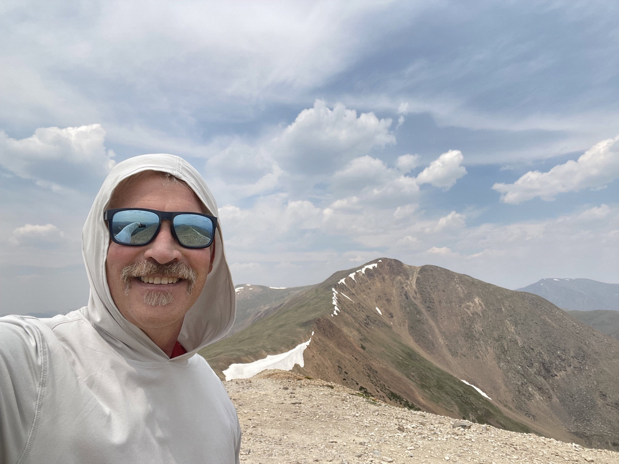
Summit Photo (Teller Mountain)
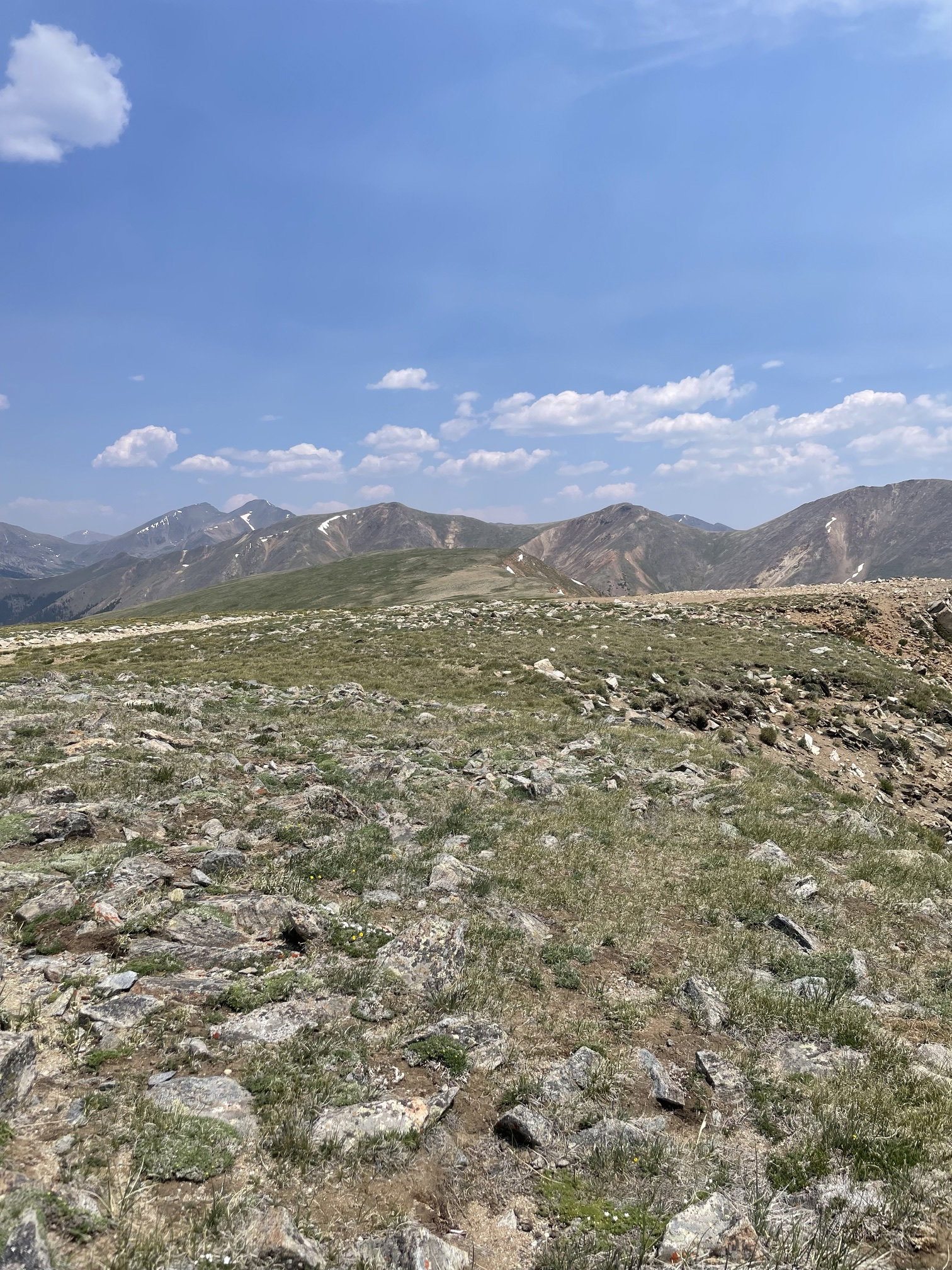
Views to the west from Teller Mountain.
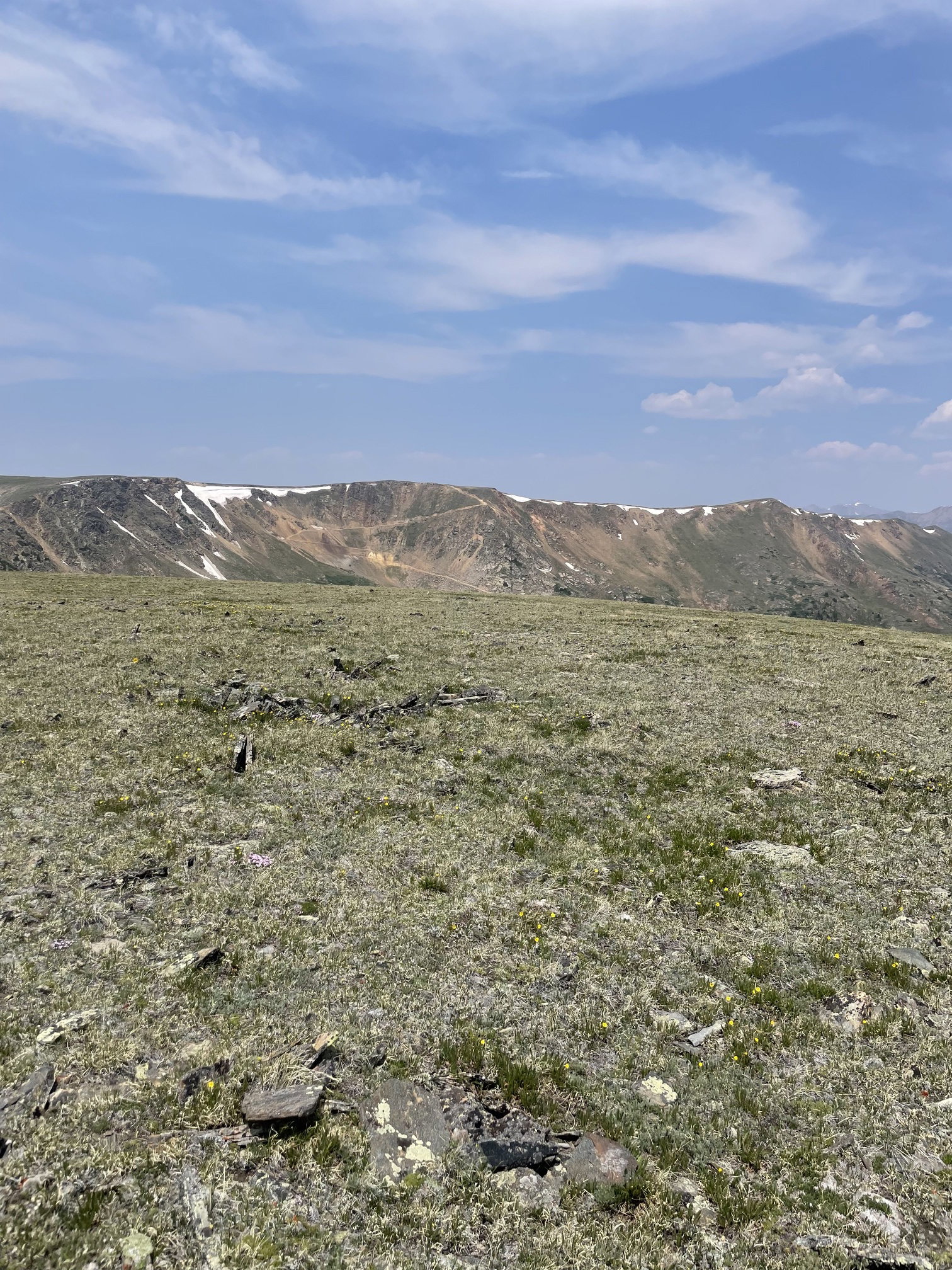
Views to the east from Teller Mountain.

Mountain Goats
Landslide Peak, Point 12382, and Red Cone from Handcard Peak.
Teller Mountain from Handcart Peak.
Summit Photo (Handcart Peak)
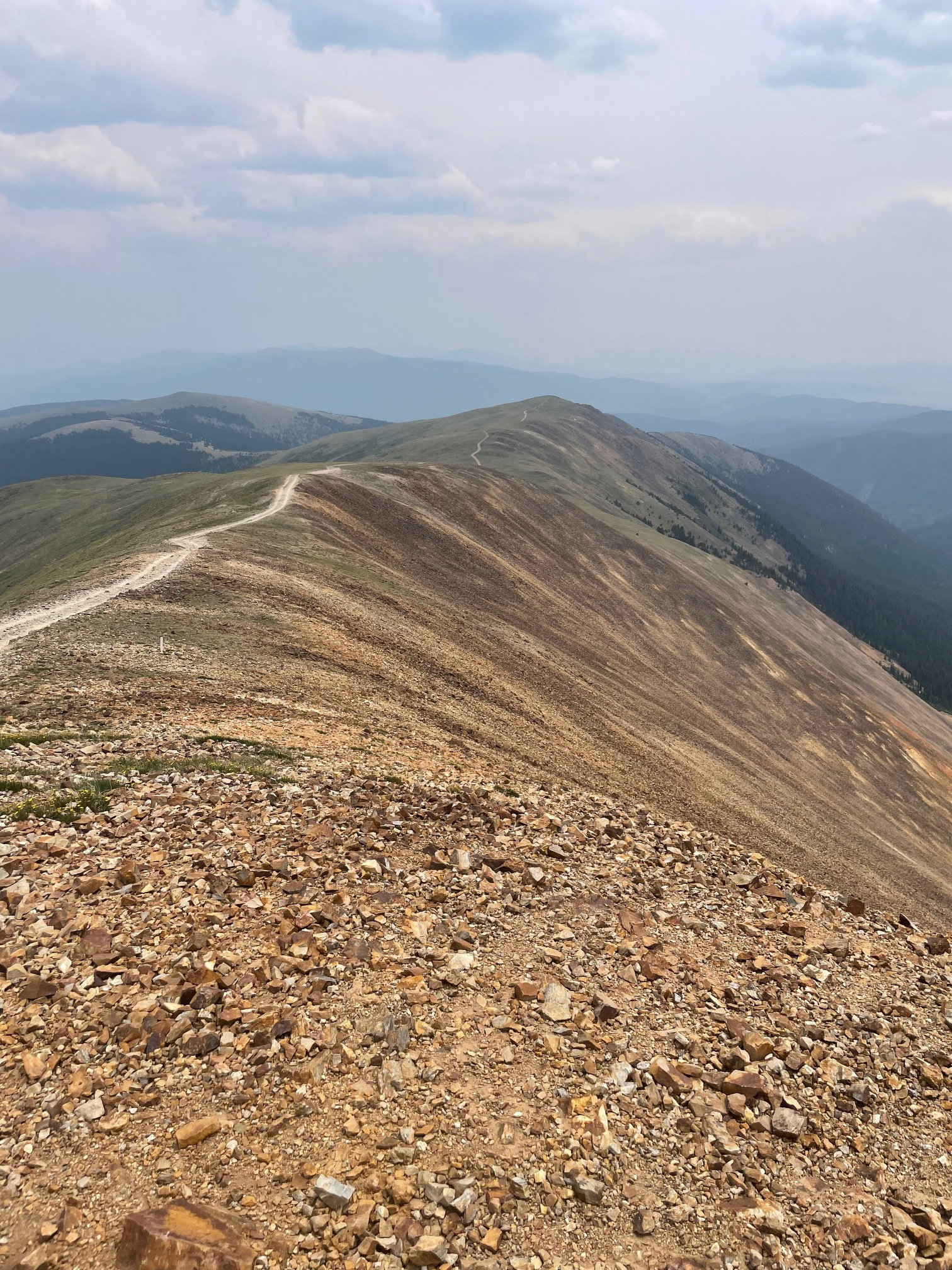
Hiking the road to the summit of Red Cone.
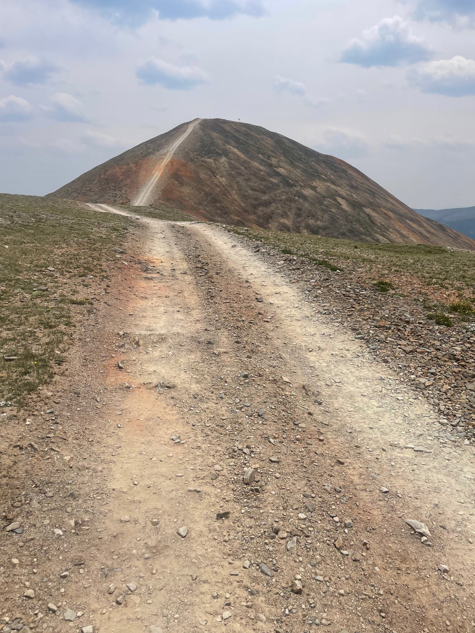
Nearing the summit of Red Cone.
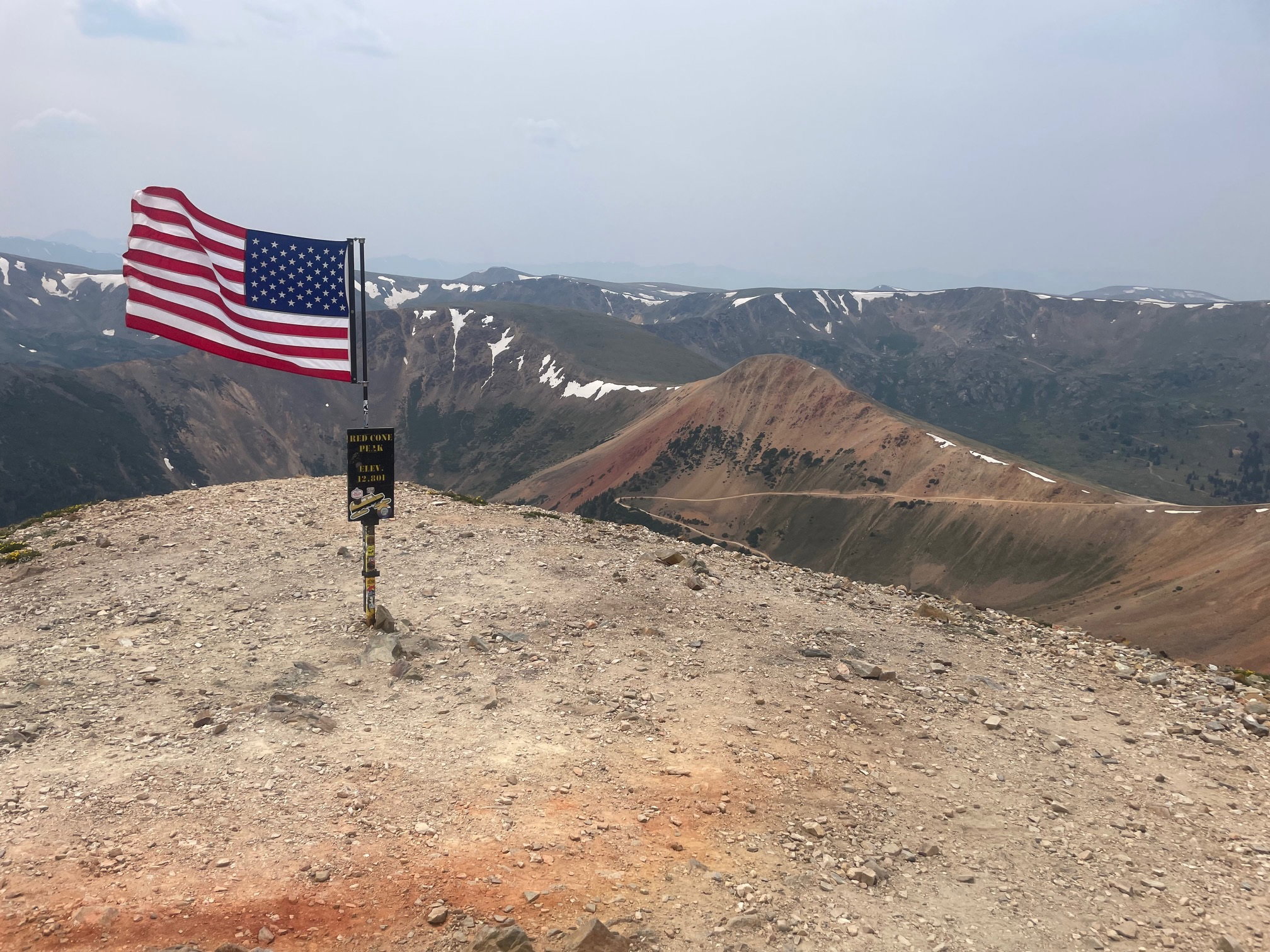
Summit Photo (Red Cone)
Views to the south from Red Cone.
Handcart Peak, Teller Mountain, and Point 12382 from Red Cone.
Red Cone on the hike out.