
Palisade Mountain
Statistics
- Date - 04/15/2026
- Elevation - 8,264'
- Route - West Ridge
- Miles - 2.6
- Elevation Gain - 868'
- ACME Mapper - Link
- CalTopo - Link
- Partners - Not Applicable
Description
As my week in Fort Collins, Colorado, went on, my hikes got shorter with less elevation gain. Palisade Mountain is a fairly obscure peak above Big Thompson Canyon. It was named and had a trail most of the way, so I decided to check it out. This was actually my first time ever on Highway 34 through the canyon, so I enjoyed seeing some new scenery on the drive. There is a good trail for about 80% of the hike and then you start working your way through rockier terrain to the summit. I was able to see Horsetooth Mountain and Longs Peak from the top of Palisade Mountain.
Photos
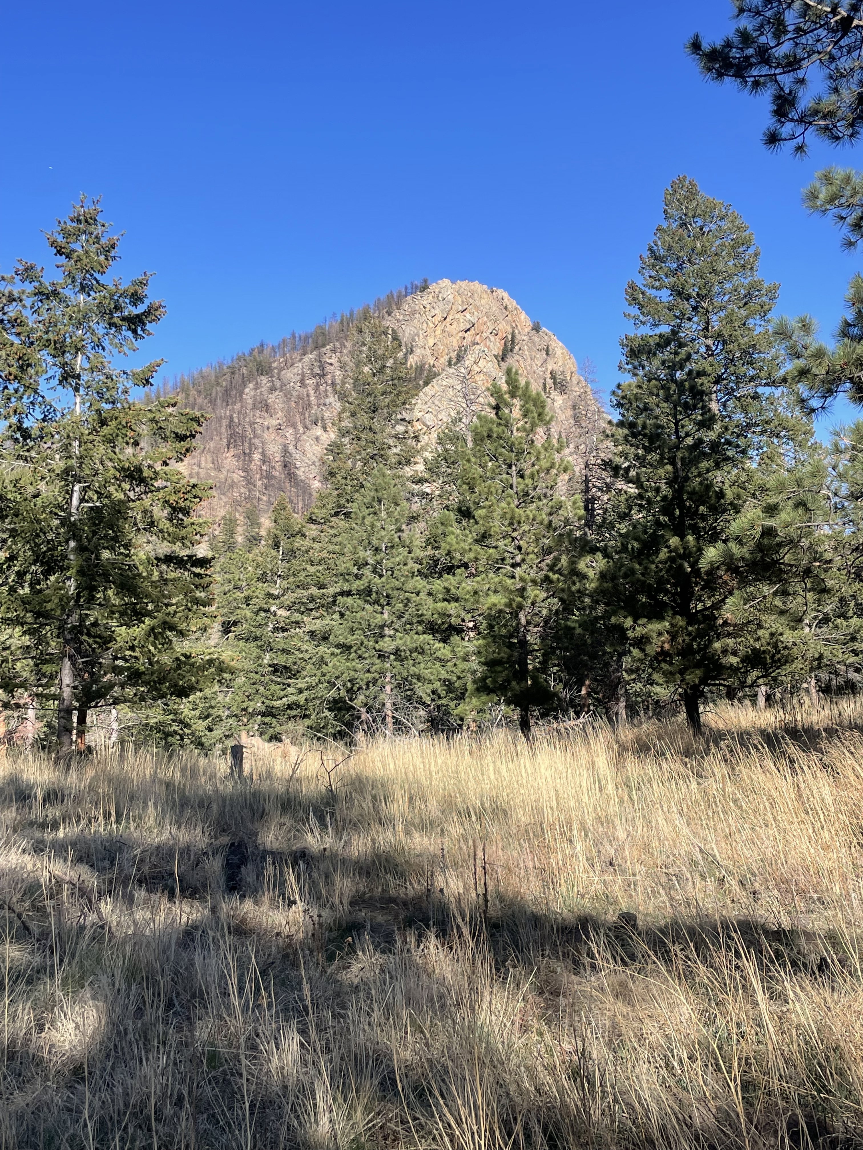
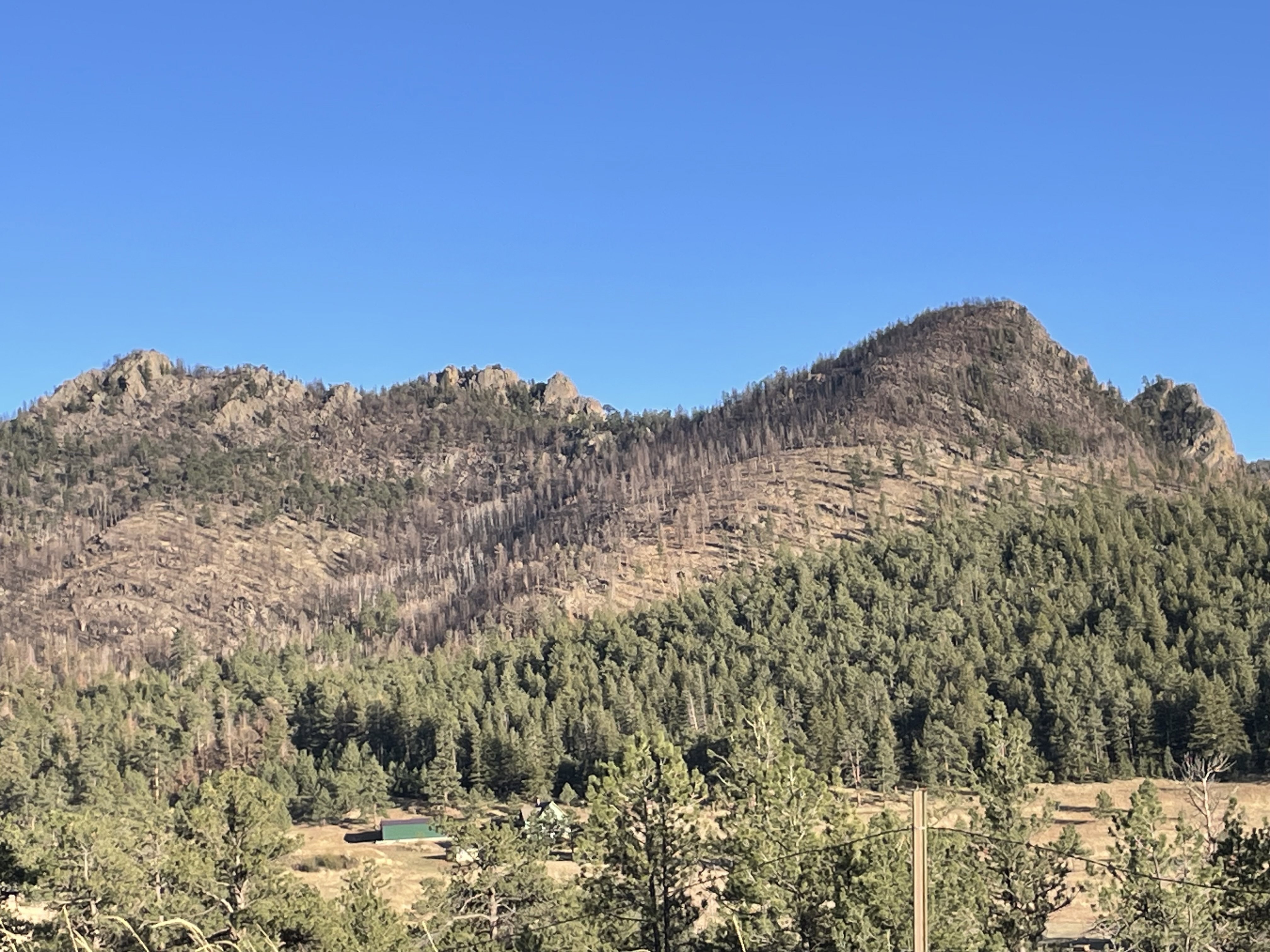
Views of false summit from the start of the hike.
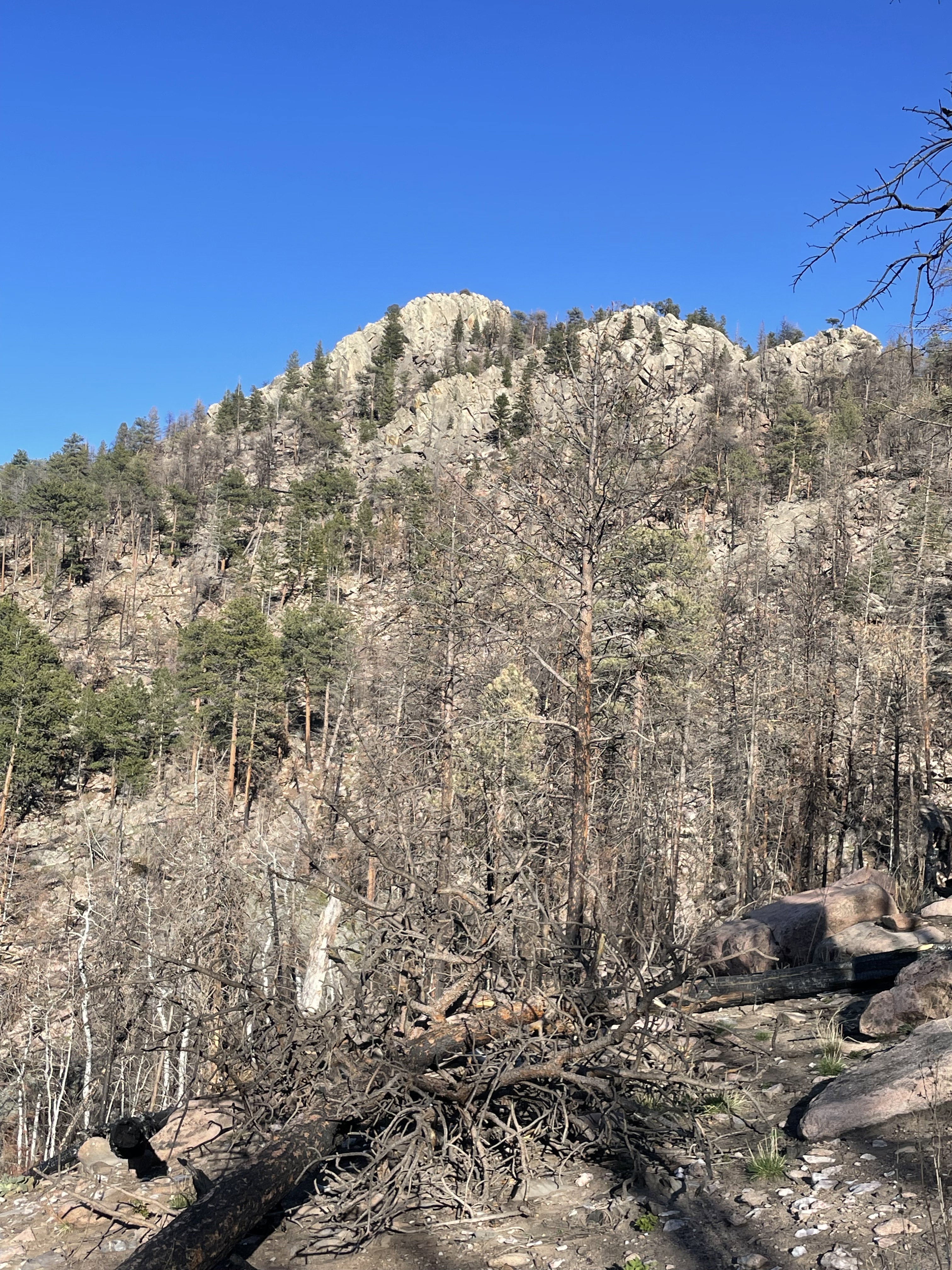
My first look at Palisade Mountain after circling around the false summit.
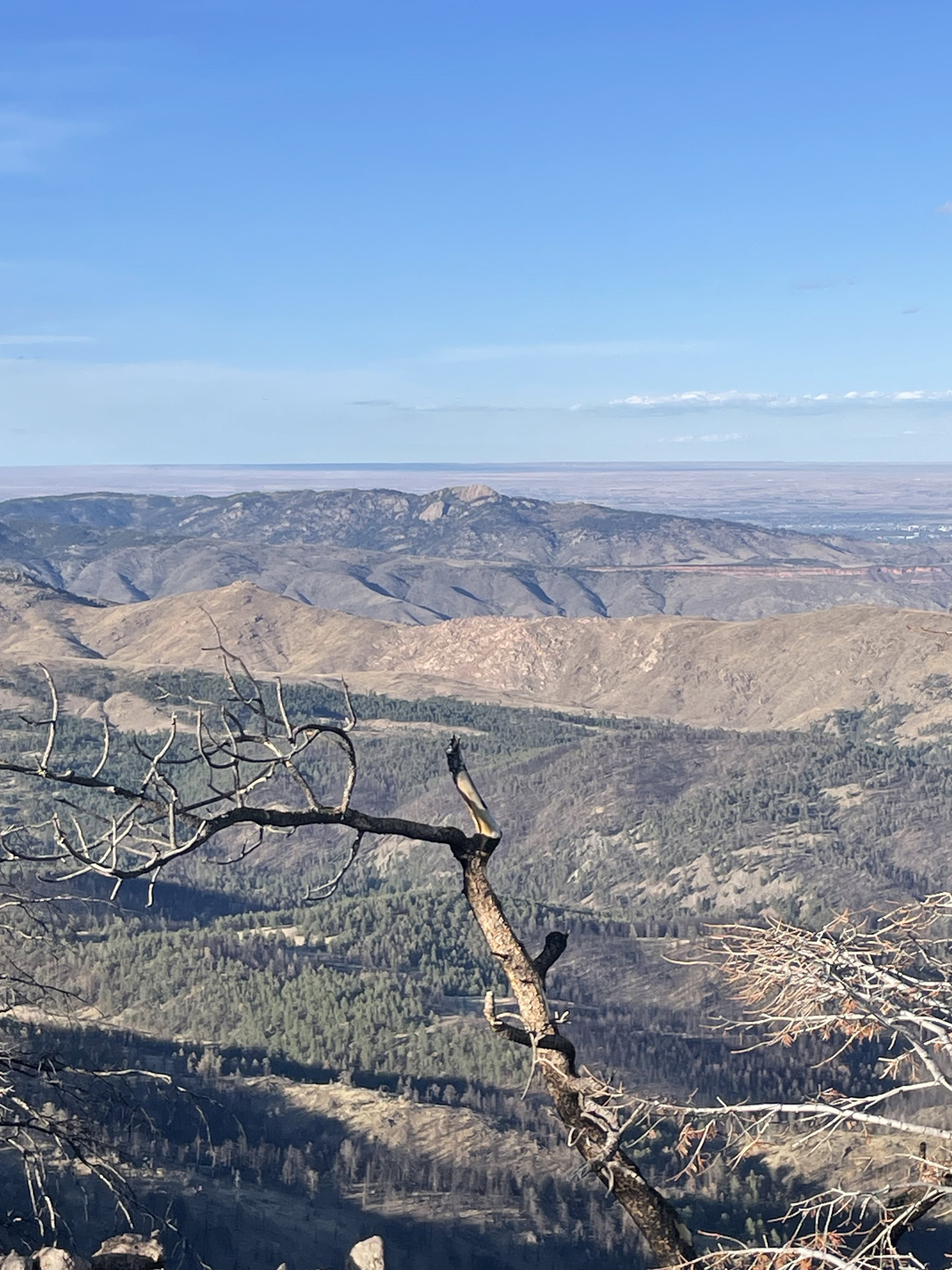
Views to the northeast towards Horsetooth Mountain.
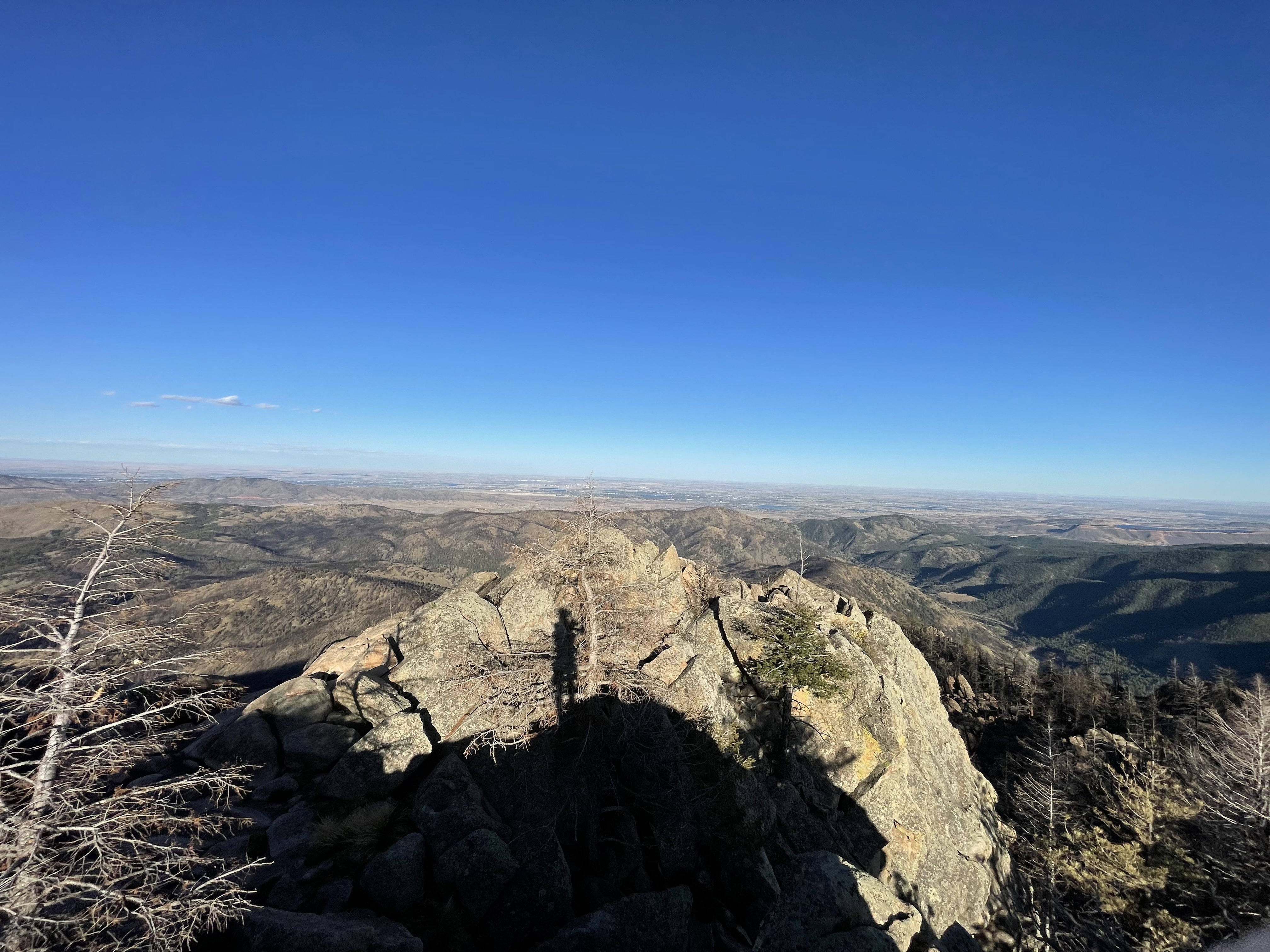
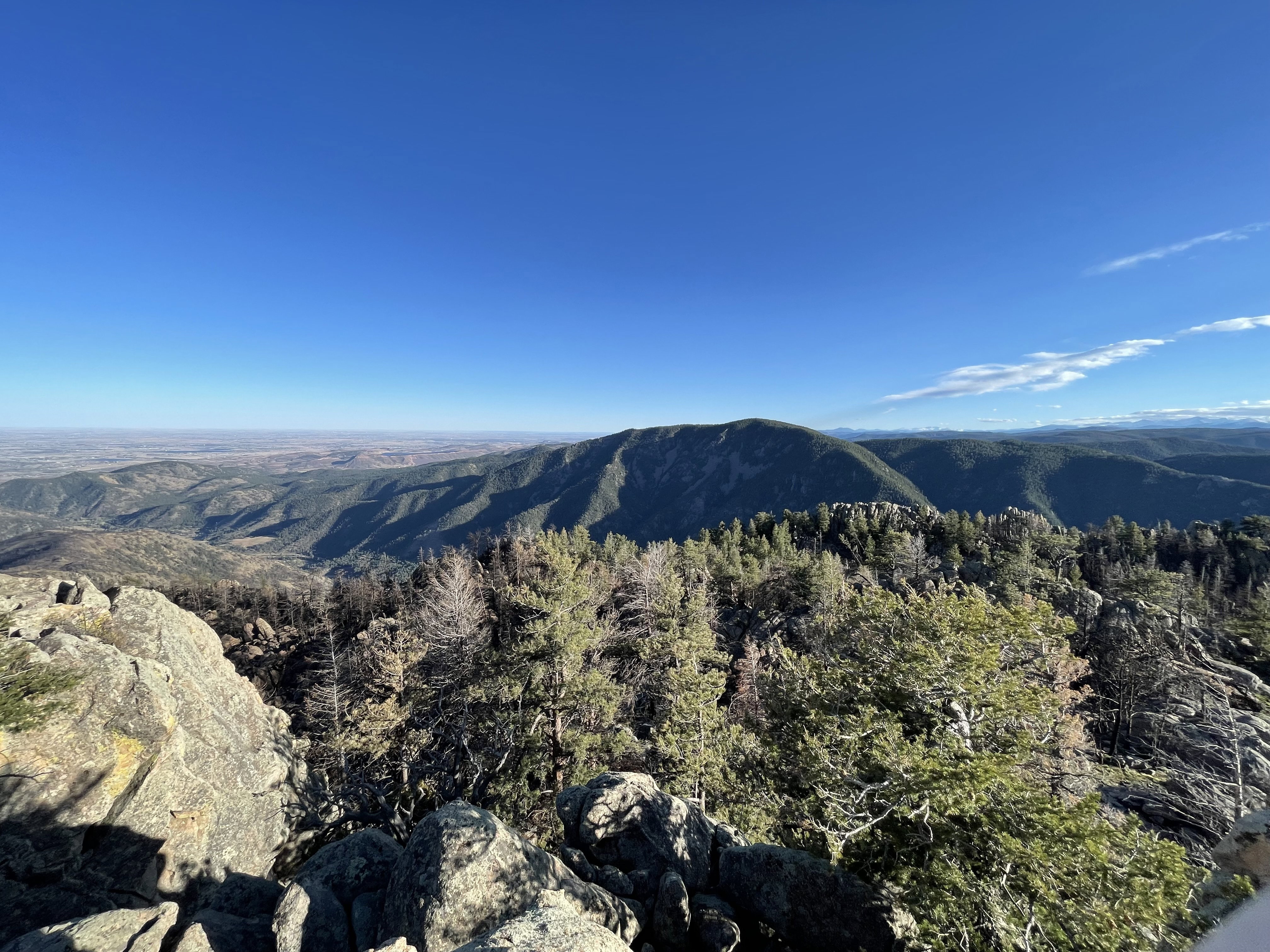
Views to the east from the summit of Palisade Mountain.
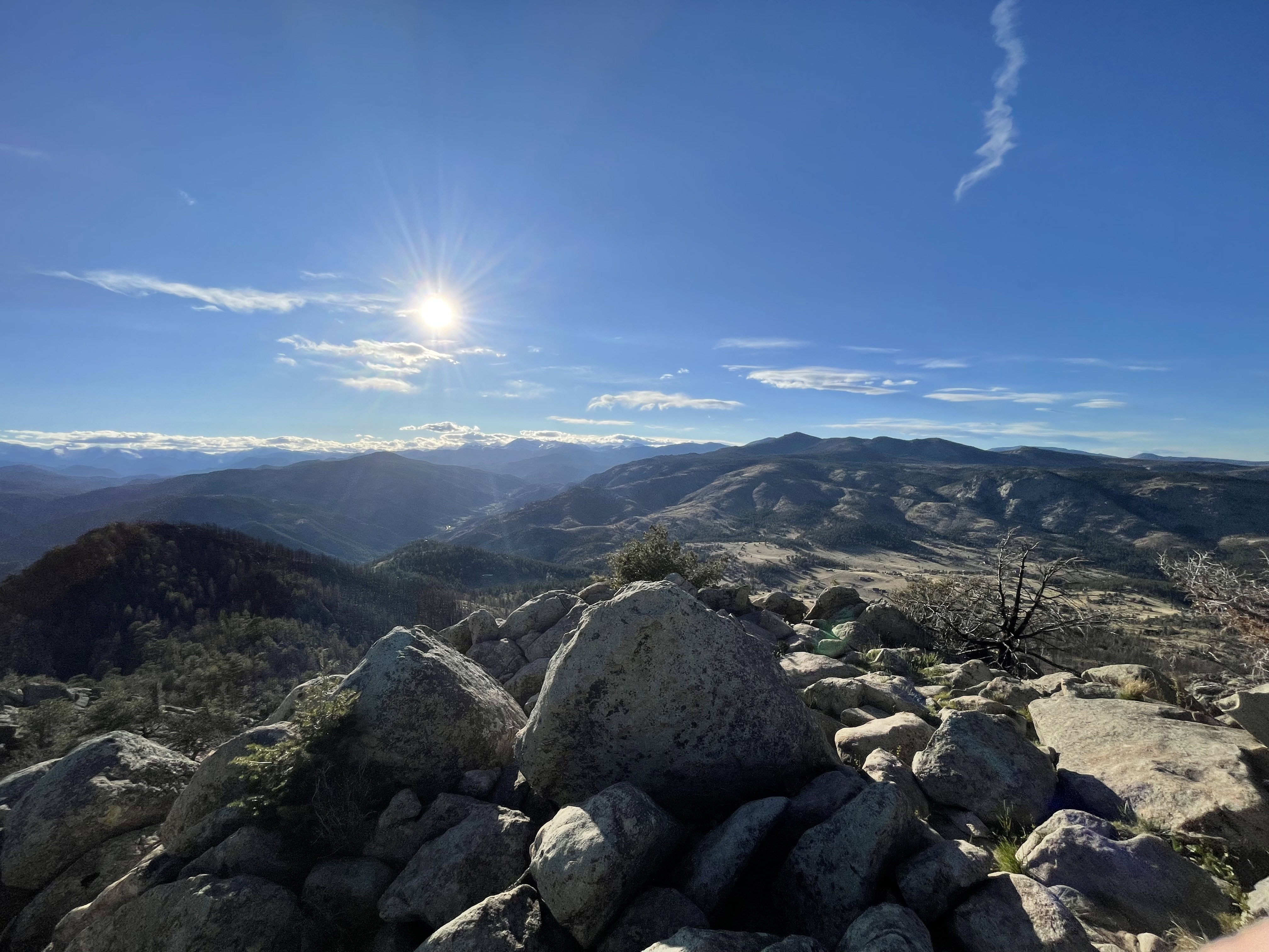
Views to the west from the summit of Palisade Mountain.
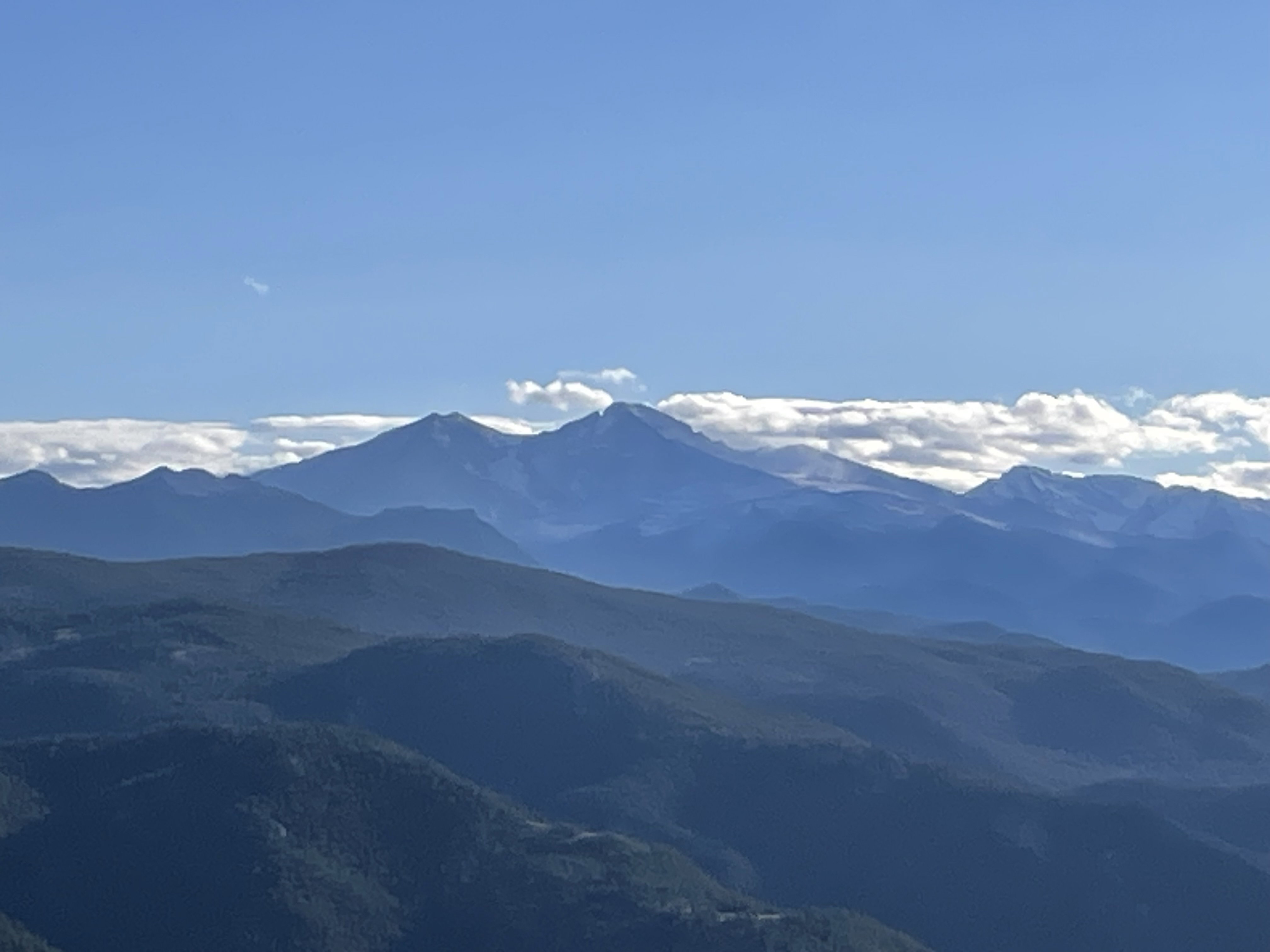
Mount Meeker and Longs Peak from the top of Palisade Mountain.
Views to the southeast towards Sheep Mountain.
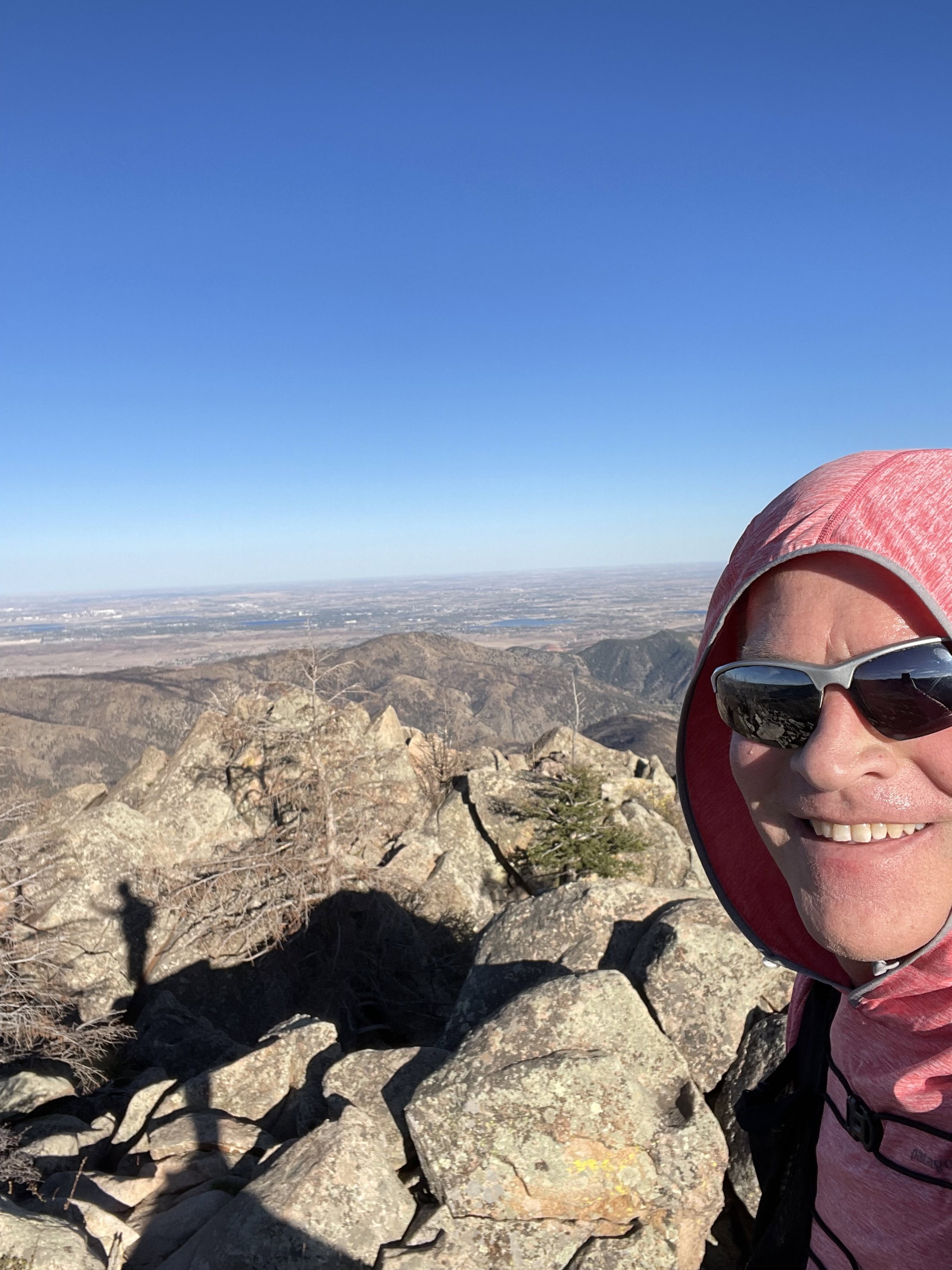
Summit Photo
Palisade Mountain on the left on the drive out of the area.
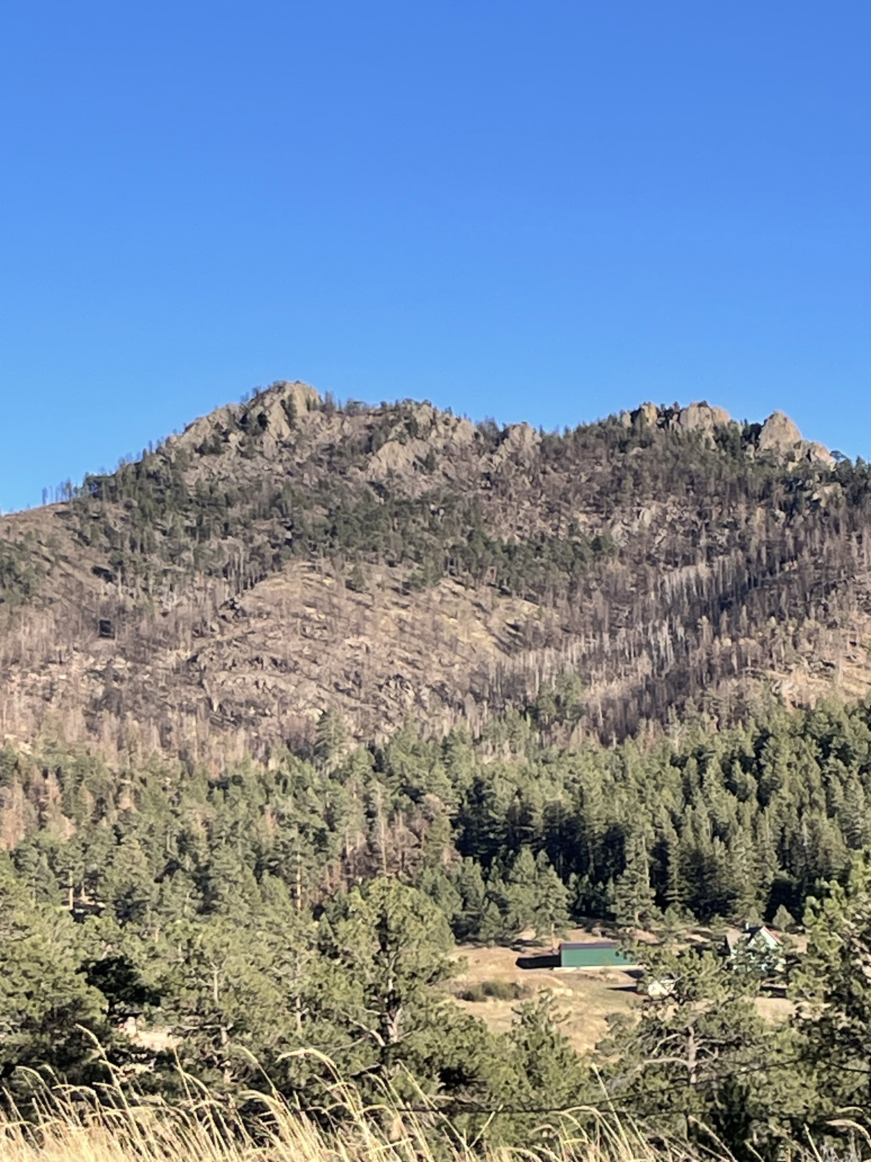
Palisade Mountain from the road on the drive out.