
Horseshoe Mountain
Statistics
- Date - 06/01/2026
- Elevation - 10,926'
- Route - South Ridge
- Miles - 3.3
- Elevation Gain - 1,416'
- ACME Mapper - Link
- CalTopo - Link
- Partners - Not Applicable
Description
My latest work assignment had me back in the San Luis Valley. After work on Monday, I drove about 10 miles south of Del Norte, Colorado, and hiked Horseshoe Mountain. Not to be confused with the Centennial Peak near Fairplay, Colorado, this Horseshoe Mountain is in the Rio Grande National Forest. I followed a solid trail southwest and then west to the south ridge of the peak. From there it was an easy hike to Point 10733. Unfortunately, from here to the summit was an uncomfortable bushwhack to the summit. I nearly bailed due to the difficulty, but pressed on after dropping off the summit ridge proper to easier terrain.
After reaching the anticlimactic summit, I simply did a long descending traverse to the southeast back to the trailhead. I wanted to get out of the trees a quickly as possible and avoid the bushwhacking required to reach the summit. I started hiking at 5:25 pm and reached the summit at 6:50 pm. I didn't stay long and started down shortly after reaching the peak. I got back to the trailhead at 7:30 pm for a 2 hour and 5 minute car-to-car time.
Photos
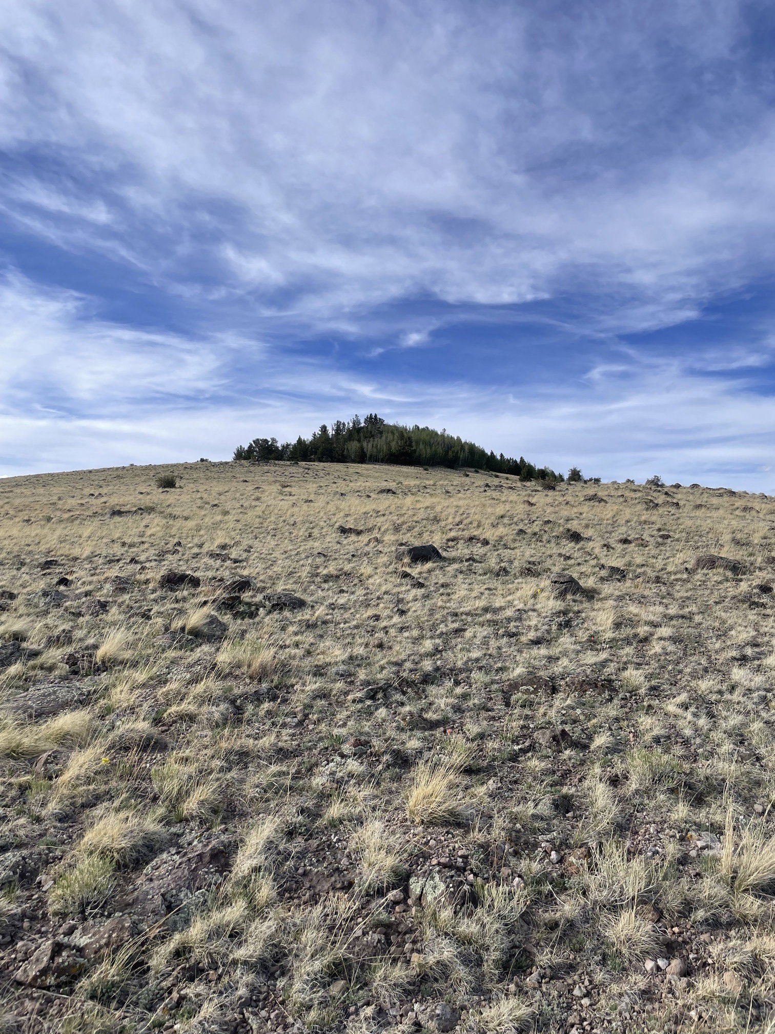
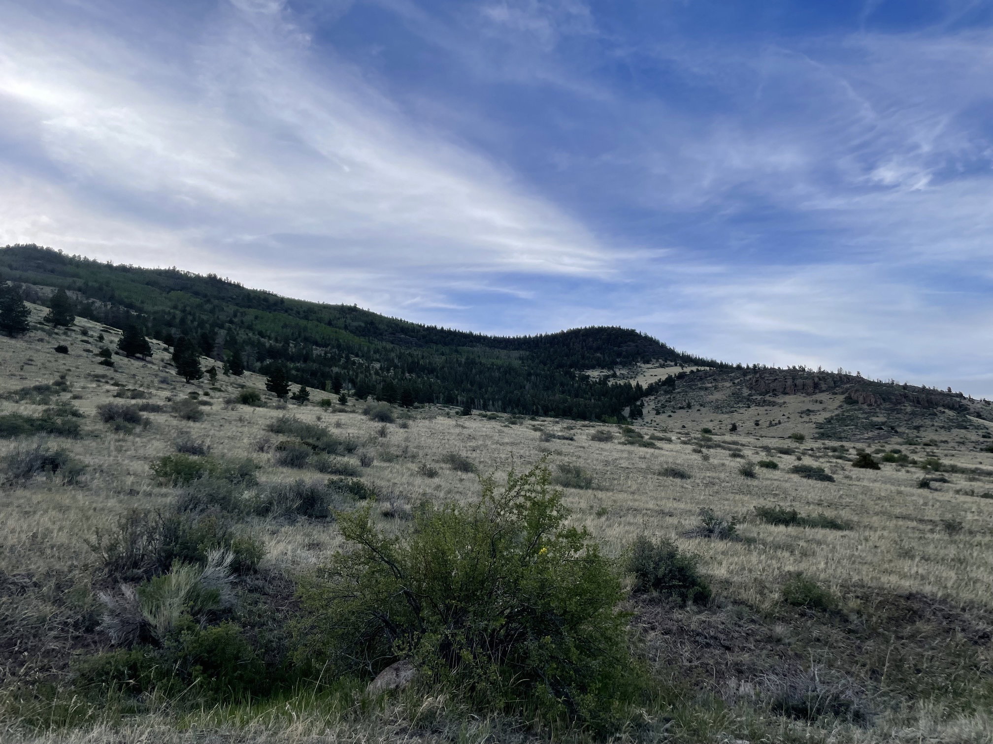
Point 10733 after breaking out of treeline.
Horseshoe Mountain from Point 10733.
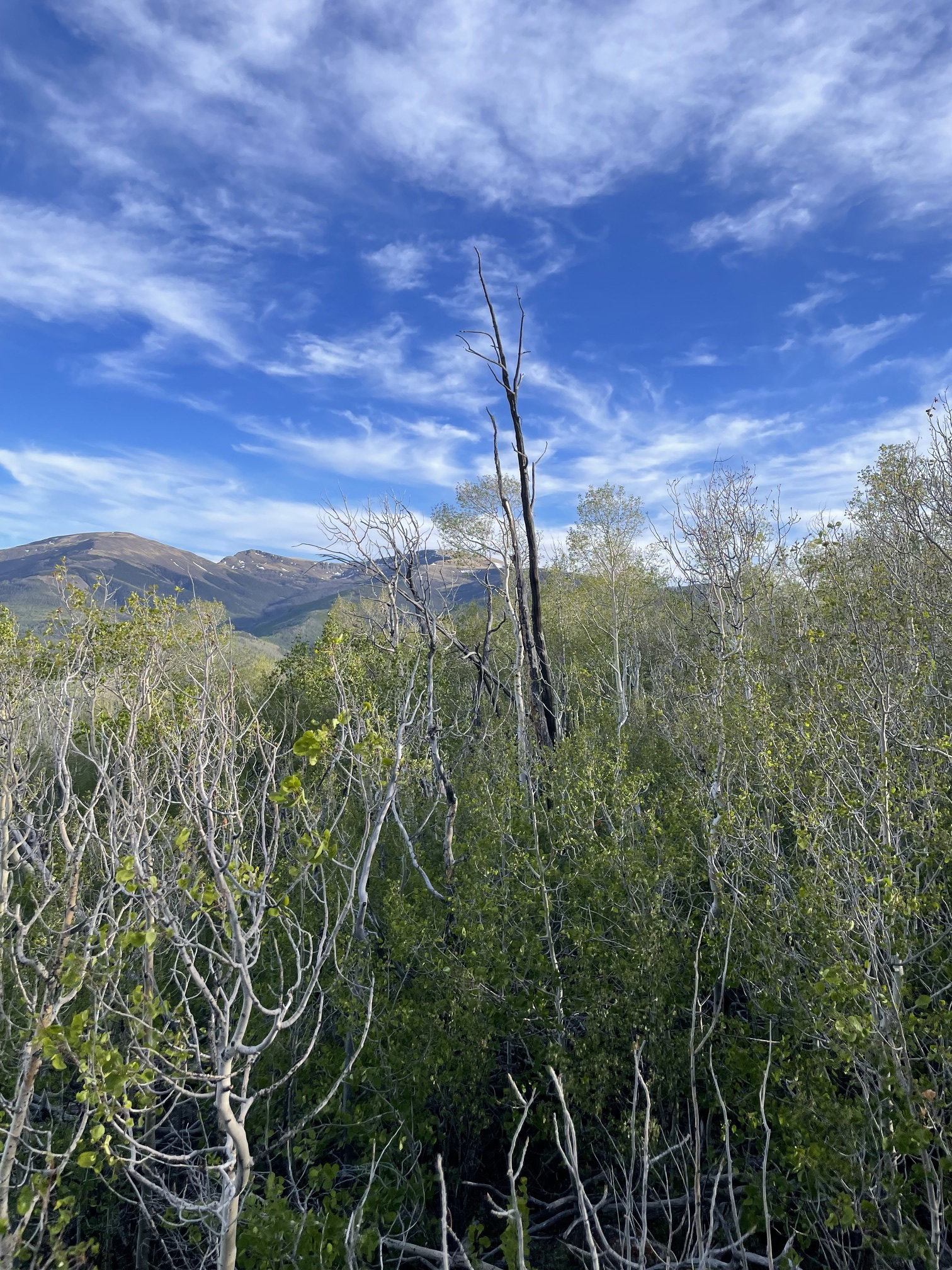
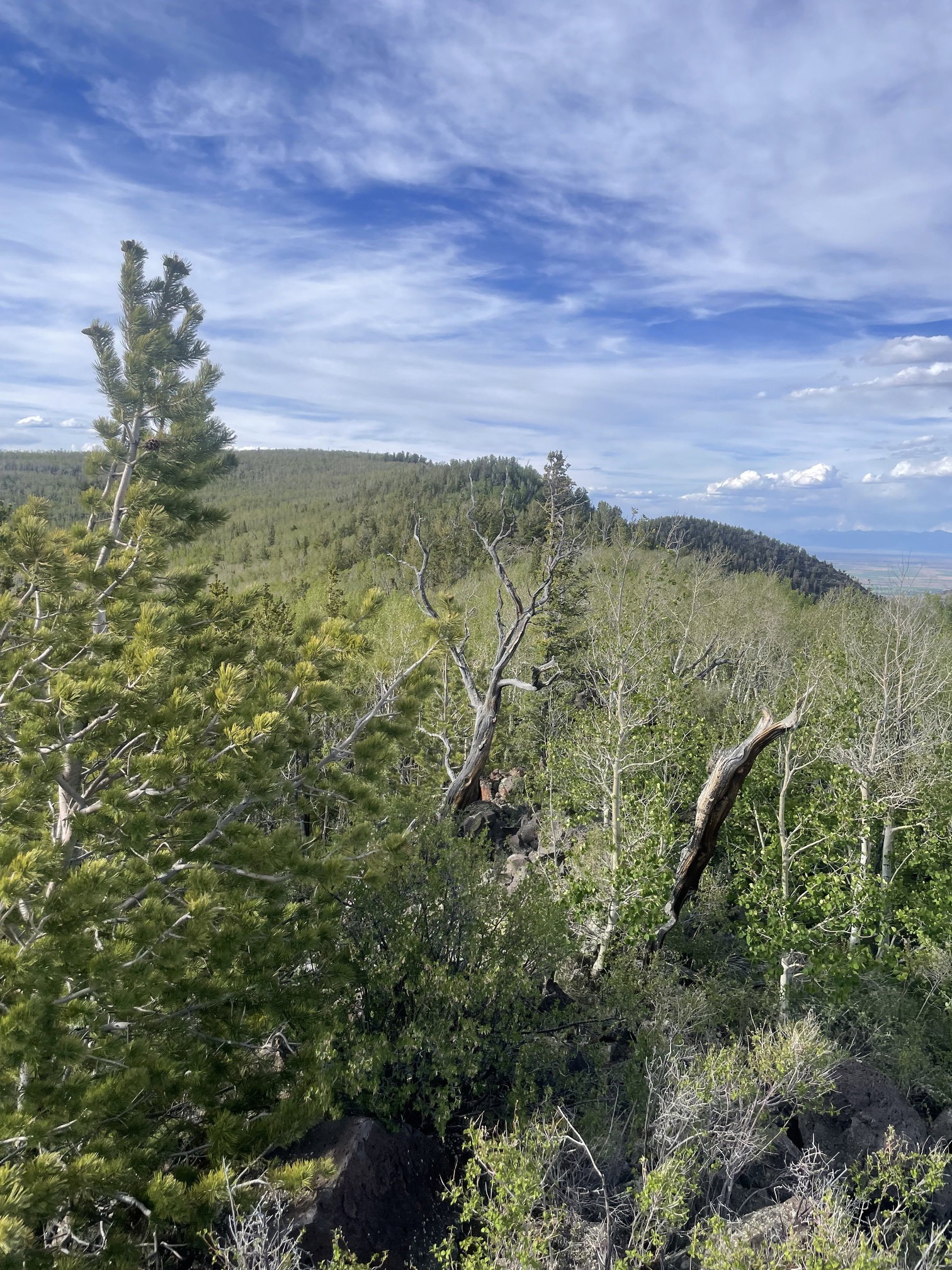
Views to the south from the summit.

Views to the east from the summit.
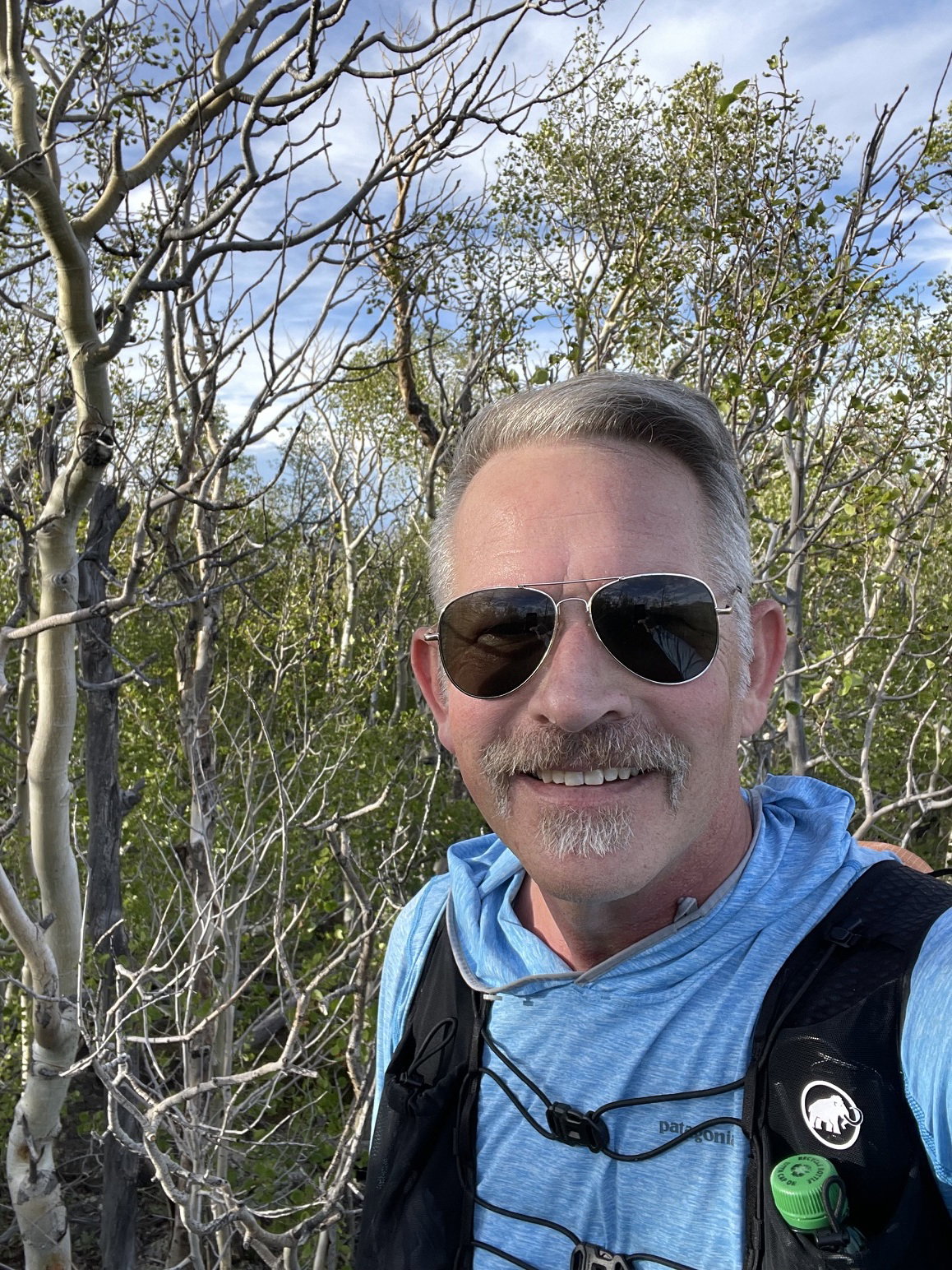
Summit Photo
Horseshoe Mountain from near the trailhead.
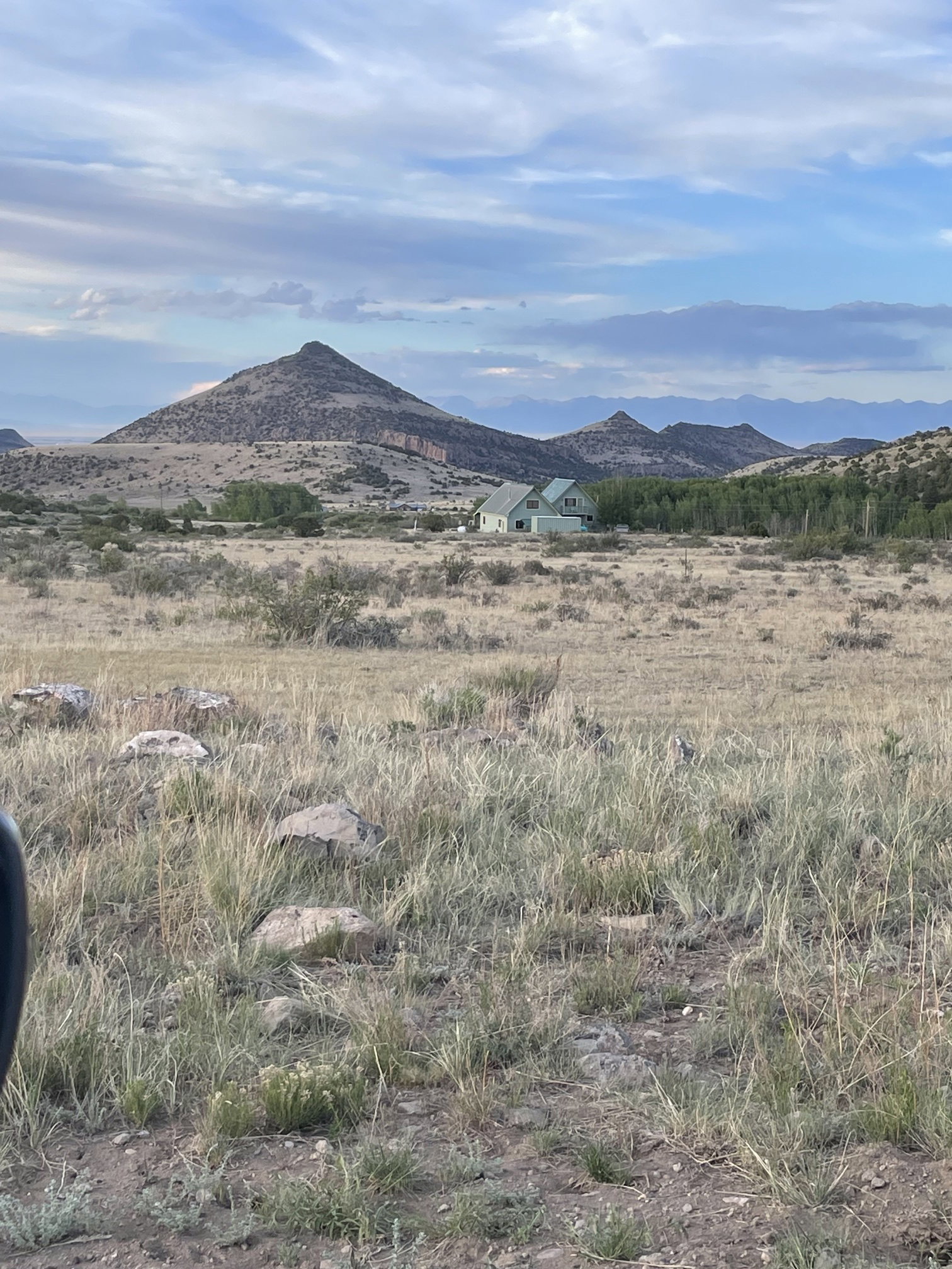
Dog Mountain and Pup Peak from the southwest. I hiked these two peaks in 2024.
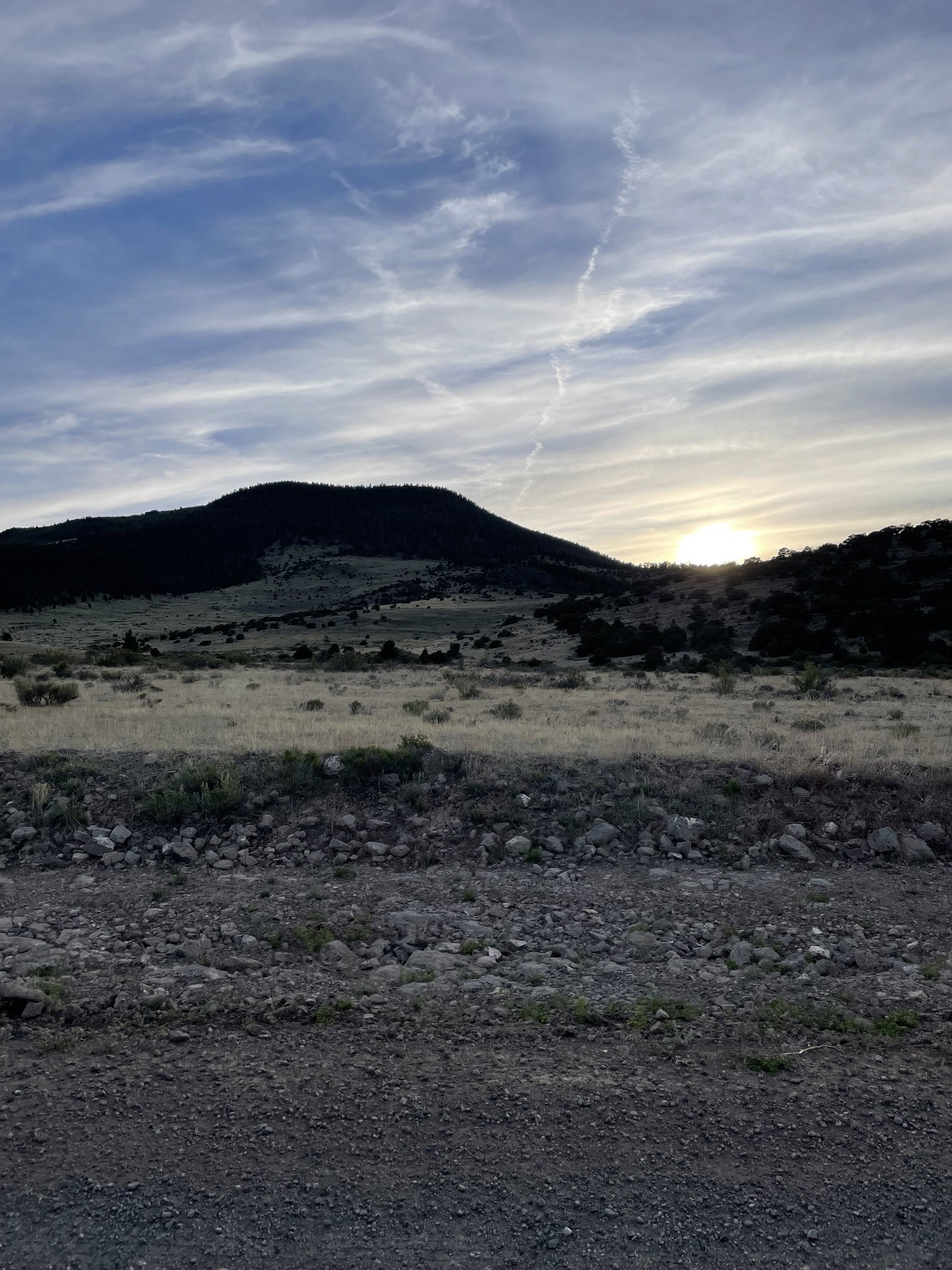
Horseshoe Mountain from the east on the drive back to Del Norte, Colorado.