
Bent Peak/Carson Peak/Point 13581
Statistics
- Date - 09/07/2026
- Elevation - 13,393'/13,657'/13,581'
- Route - Southeast Slopes/East Ridge/Northwest Slopes
- Miles - 6.9
- Elevation Gain - 3,702'
- ACME Mapper - Link
- CalTopo - Link
- Partners - Not Applicable
Description
After working through half of the Colorado Bi-Centennial Peaks, I have obviously found it more difficult to hike additional mountains on the list due to their distance from where I live. So far in 2026, I was only able to hike three more Bi's, so I took some use or lose time off from work and made a trip to the San Juan Mountains. By spending four days in southwest Colorado I was hoping to be more efficient with my trip and climb multiple peaks.
I drove from my residence to Carson Pass south of Lake City, Colorado, on Sunday afternoon. The road to Carson Pass is more difficult than Cinnamon Pass and a four-wheel drive is necessary. I camped on the pass and struggled with sleep due to wind and rain. I was afraid the trip was getting off to a bad start and wasn't sure about my success for the day. I woke around 5:00 am and changed into wet weather gear and waited for things to clear.
There was a short break in conditions, so I started up Bent Peak with a hard shell and pack cover on. If things got too bad, I figured I could at least endure Bent Peak and maybe Carson Peak before bailing on the day. The wind was tolerable and the rain was light or simply a mist as I began the day. As the sun rose and I reached Bent Peak, the weather seemed to improve and I became more optimistic. The traverse over to Carson Peak went fairly quickly and I was happy to have at least reached one Bi-Centennial Peak.
It appeared as though the weather was holding, so I committed to the rest of the day by descending off the south slopes of Carson Peak rather than returning to Carson Pass. I lost around 1,700' dropping into Lost Trail Creek and crossing the Colorado / Continental Divide Trail. The climb from the basin to Point 13581 was steep, and the top of the northwest slope route to the ridge that I completed was miserable and loose. Nevertheless, I made the summit and was glad to have completed my goal for the day.
Had I done more research on the peak I most certainly would have descended the east ridge and northeast slopes to return to Carson Pass; however, I wasn't sure if it would go at the time so I simply returned the way I ascended and carefully worked my way back down the steep and rotten gully. It wasn't the worst, nor was it enjoyable. Once I reached the valley floor again, I picked up the Colorado / Continental Divide Trail and hiked back to my vehicle at Carson Pass.
I'm fairly slow as I age; however, the loose route up and down Point 13581 was somewhat challenging and certainly added to the day also. I started at 5:45 am and returned to the trailhead by 1:45 pm for an 8-hour car-to-car day with 15 minutes on each summit. I drove back down Wager Gulch to County Road 30 to make contact with my wife and then proceed to the Cooper Creek Trailhead for my next hike.
The map/LIDAR elevations for Bent Peak are 13,393'/13,405'. The map/LIDAR elevations for Carson Peak are 13,657'/13,662' which moved it from #167 to #168 when considering all other elevation changes. The map/LIDAR elevations for Point 13581 are 13,581'/13,587' which moved it from #195 to #196 when considering all other elevations changes.
Photos
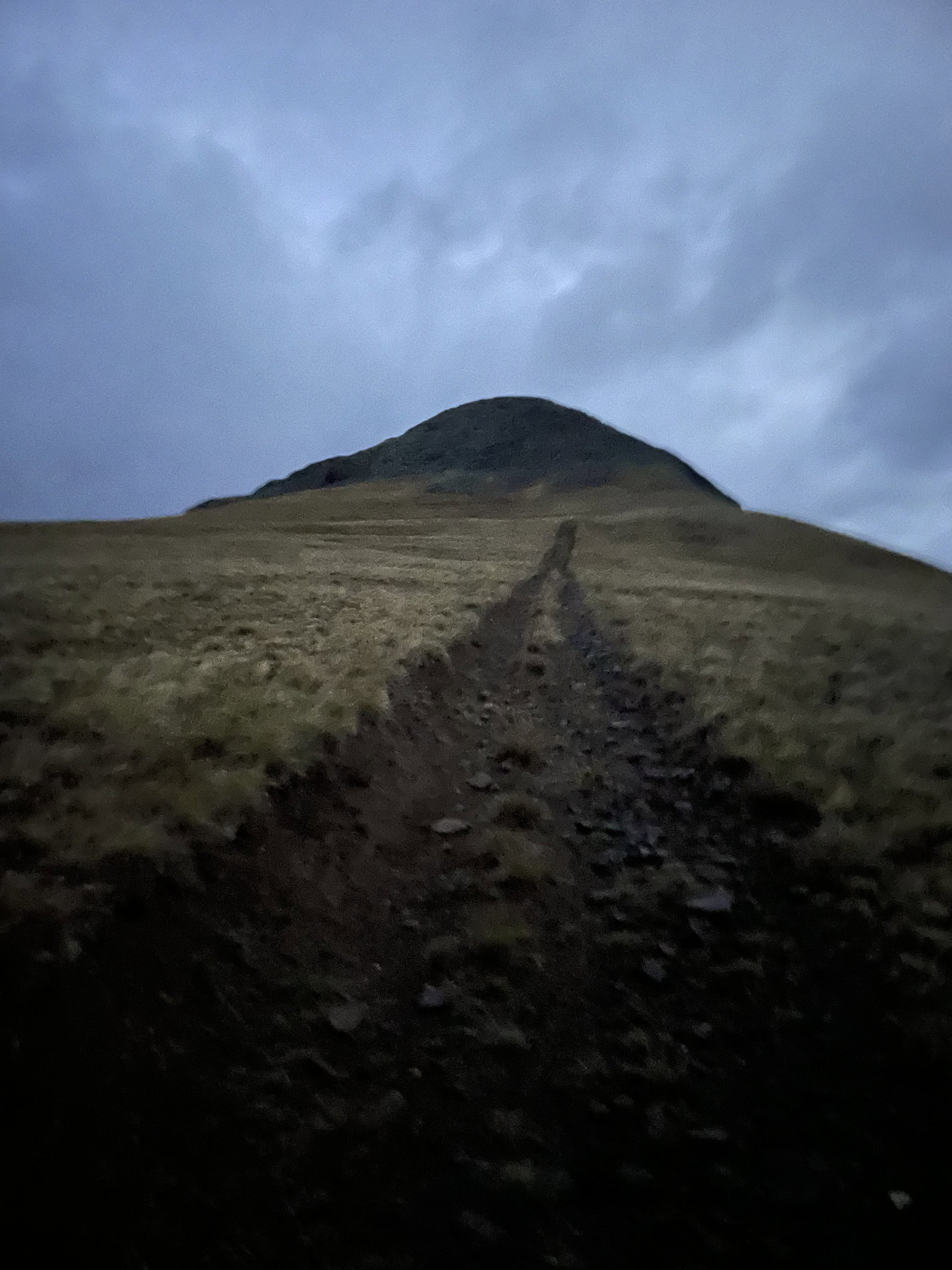
I hiked a vague road most of the way up Bent Peak.
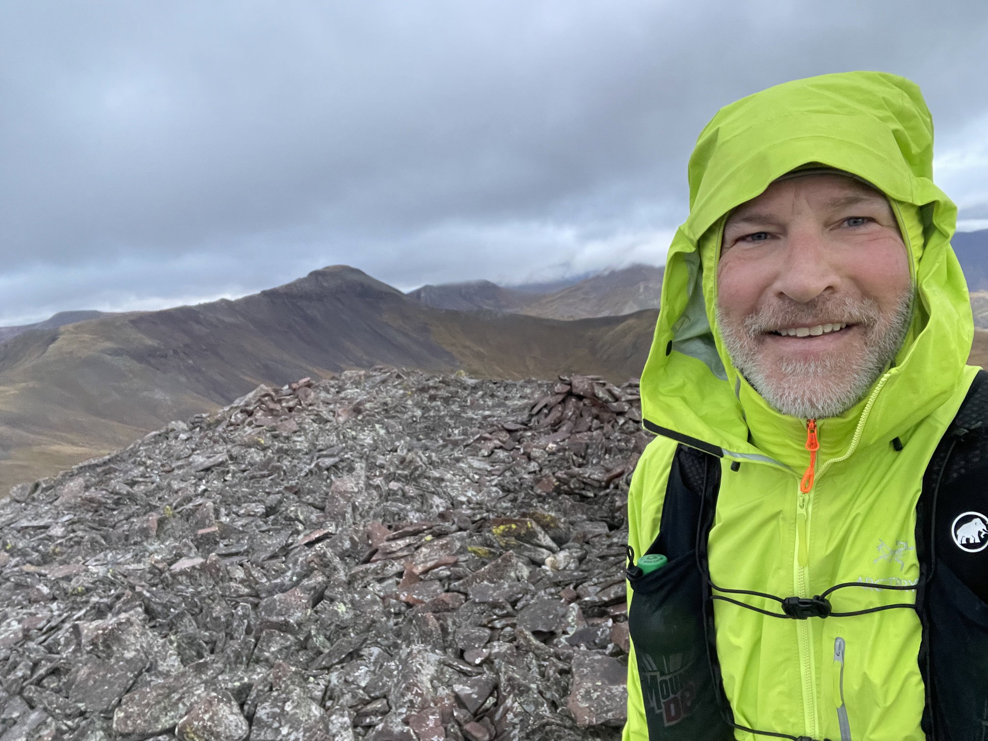
Summit Photo (Bent Peak)
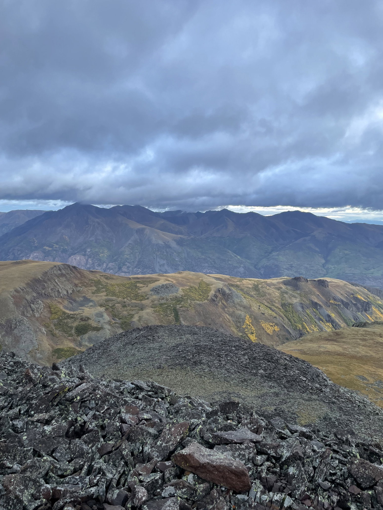
Views to the north from Bent Peak.
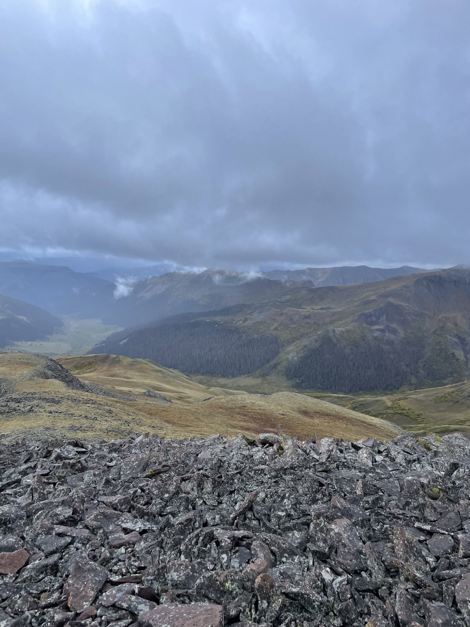
Views to the south from Bent Peak.
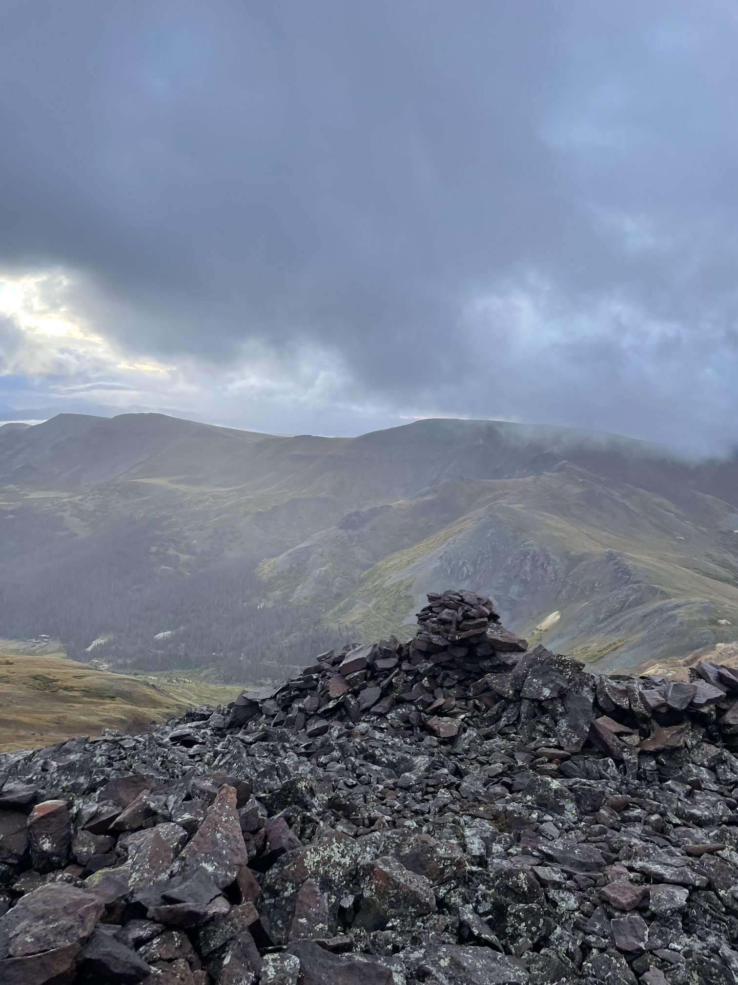
Views to the east from Bent Peak.
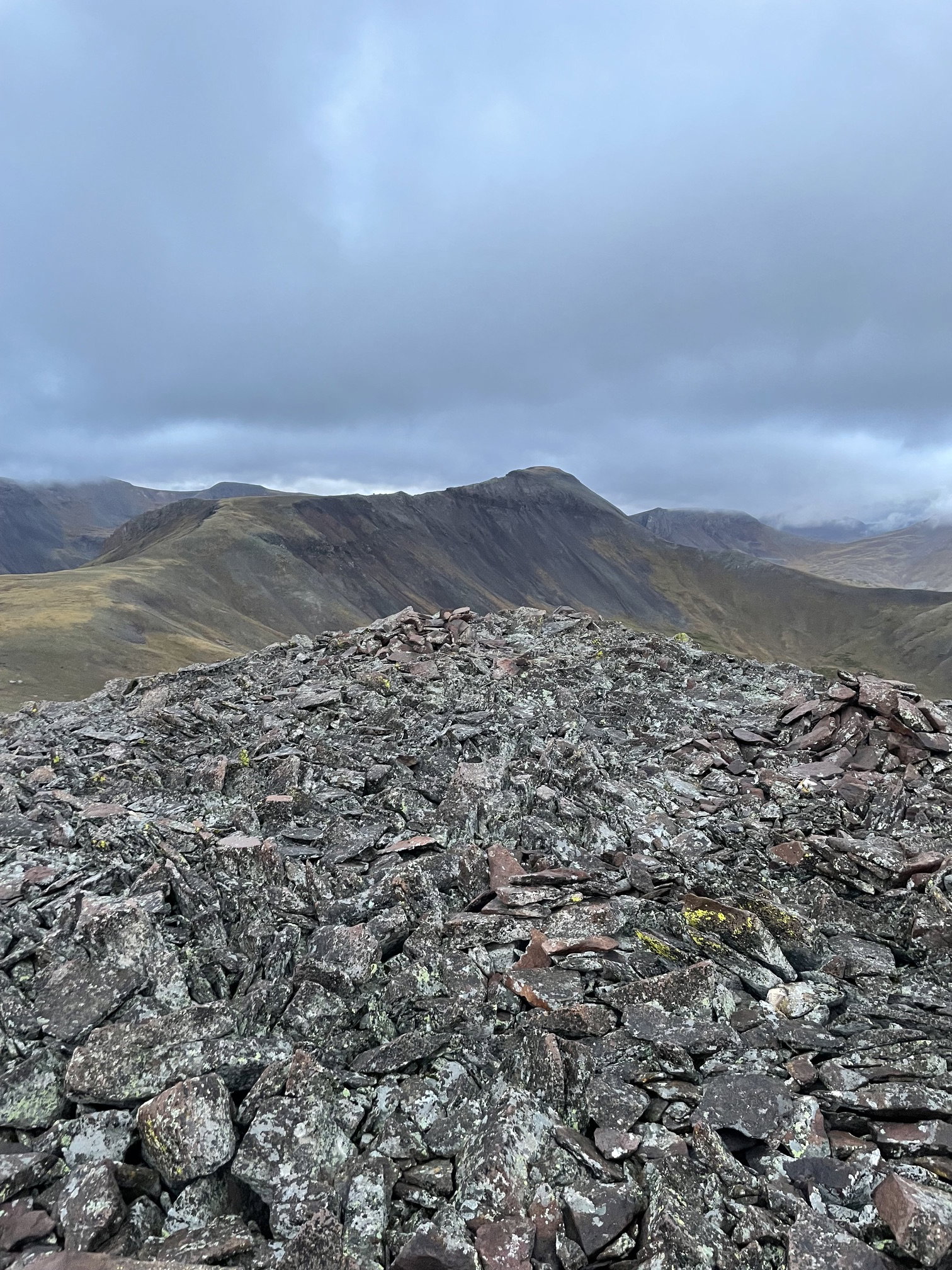
Views to the west from Bent Peak.
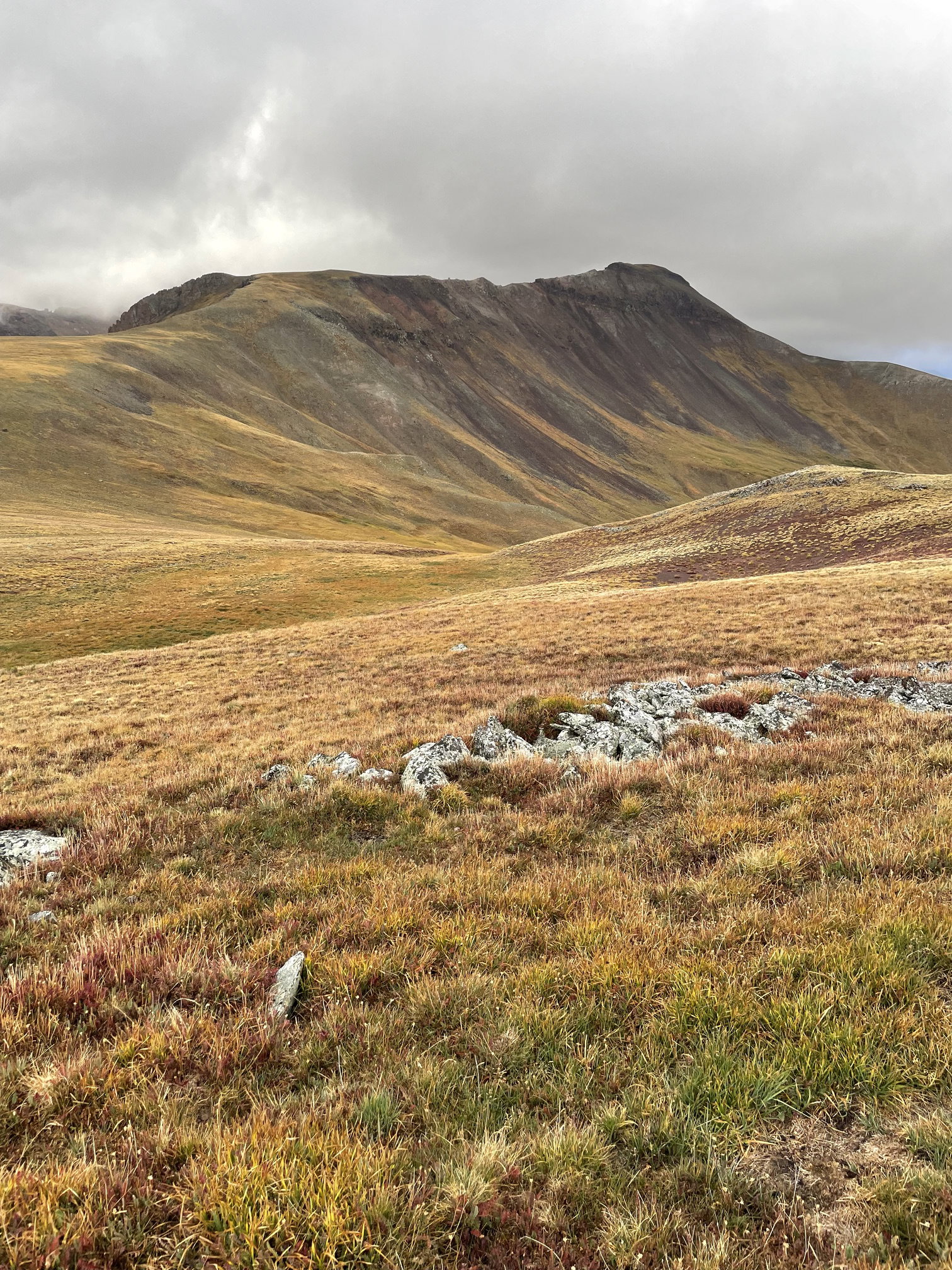
Carson Peak from the east.
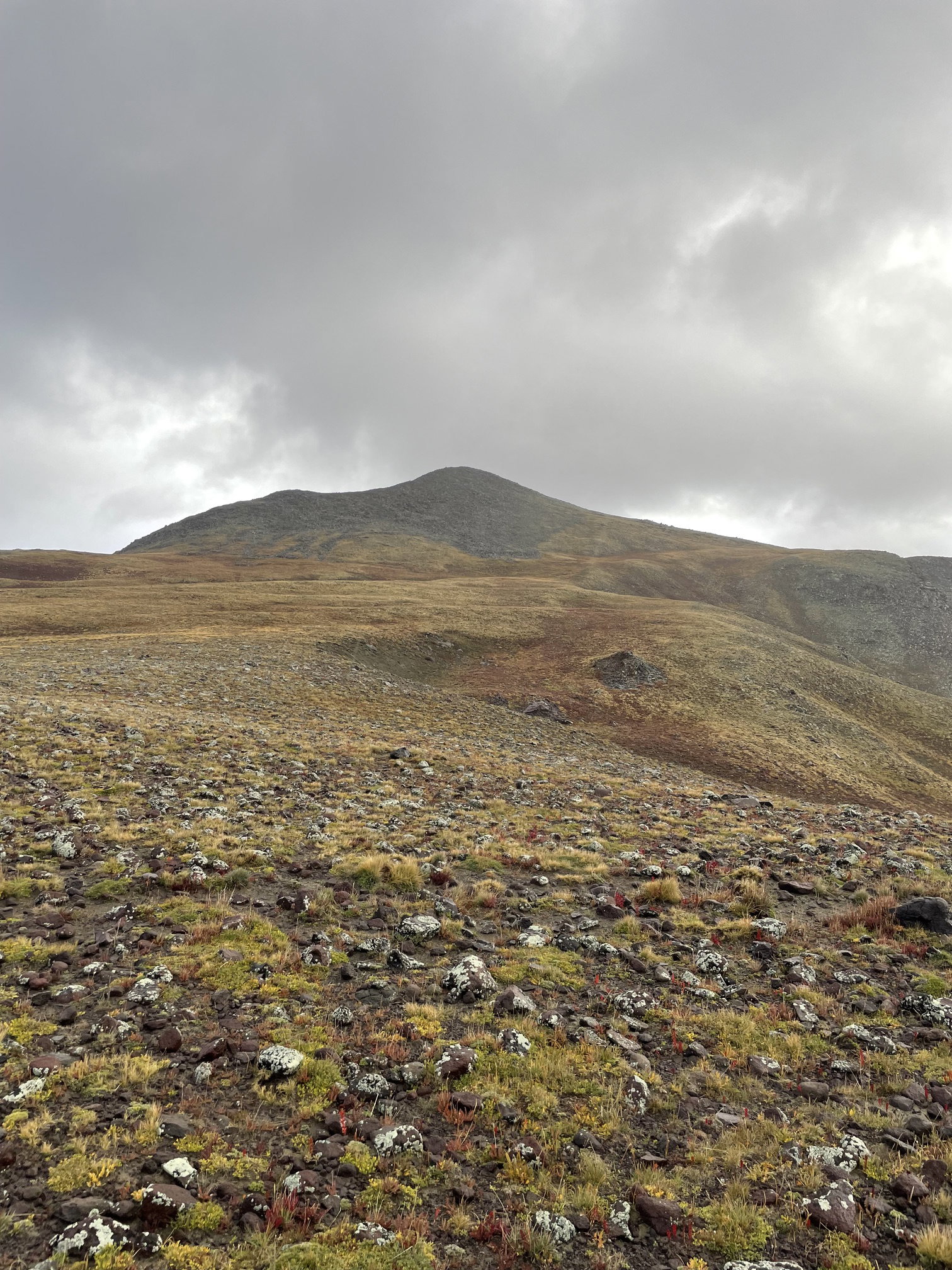
Bent Peak after descending the west slopes of the mountain.
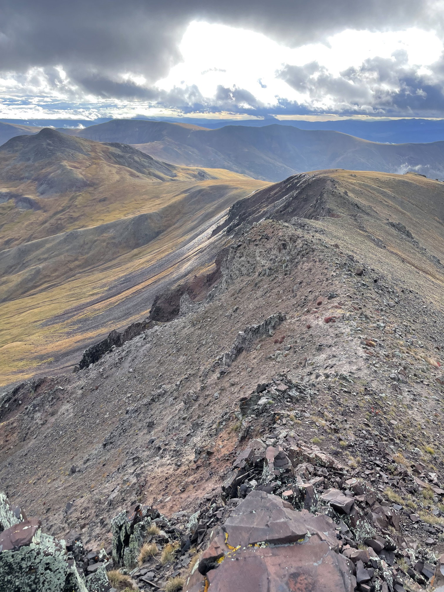
Bent Peak (upper left) and east ridge of Carson Peak after climbing for a while.
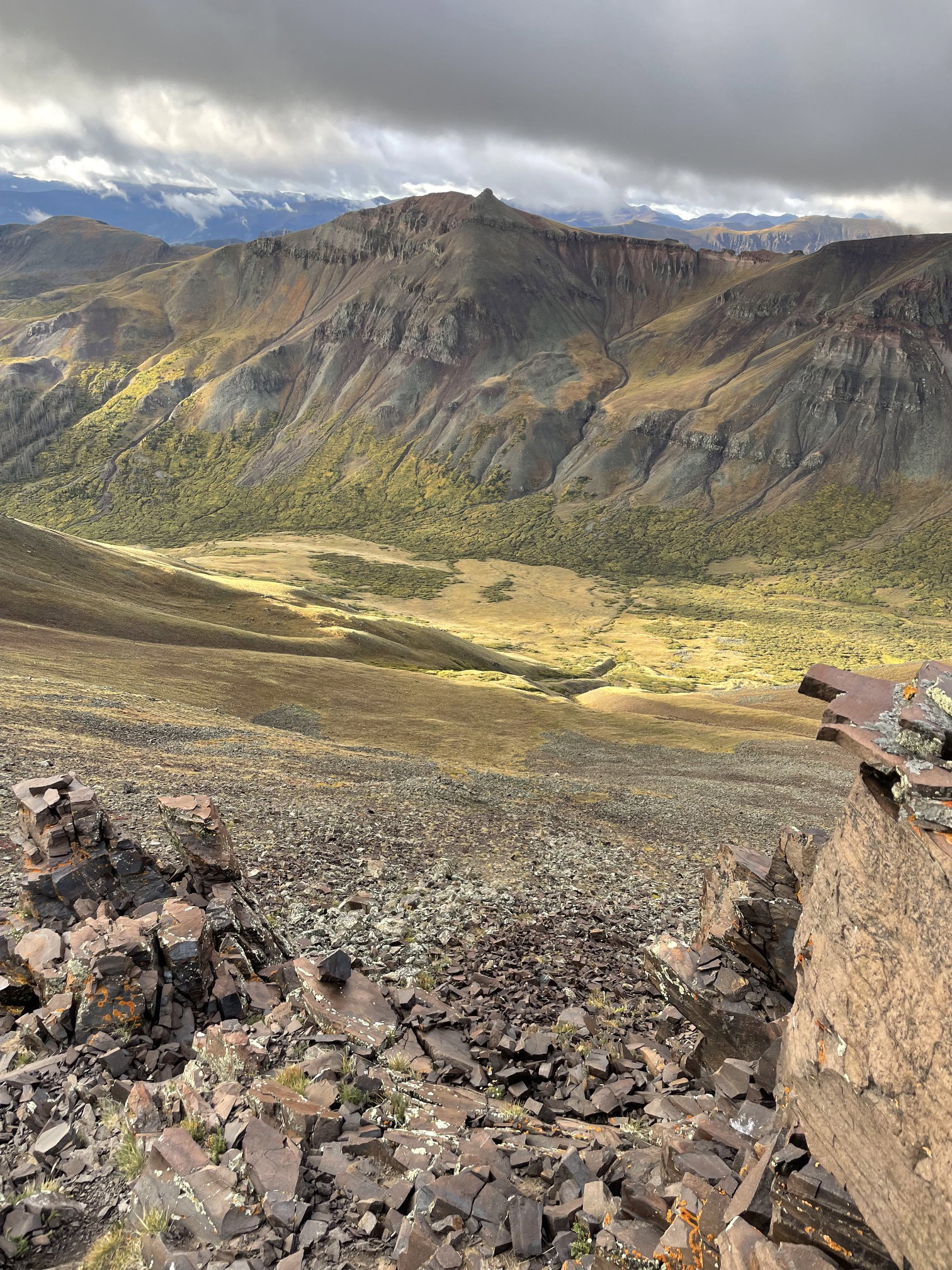
Point 13581 across the valley from the east ridge of Carson Peak.
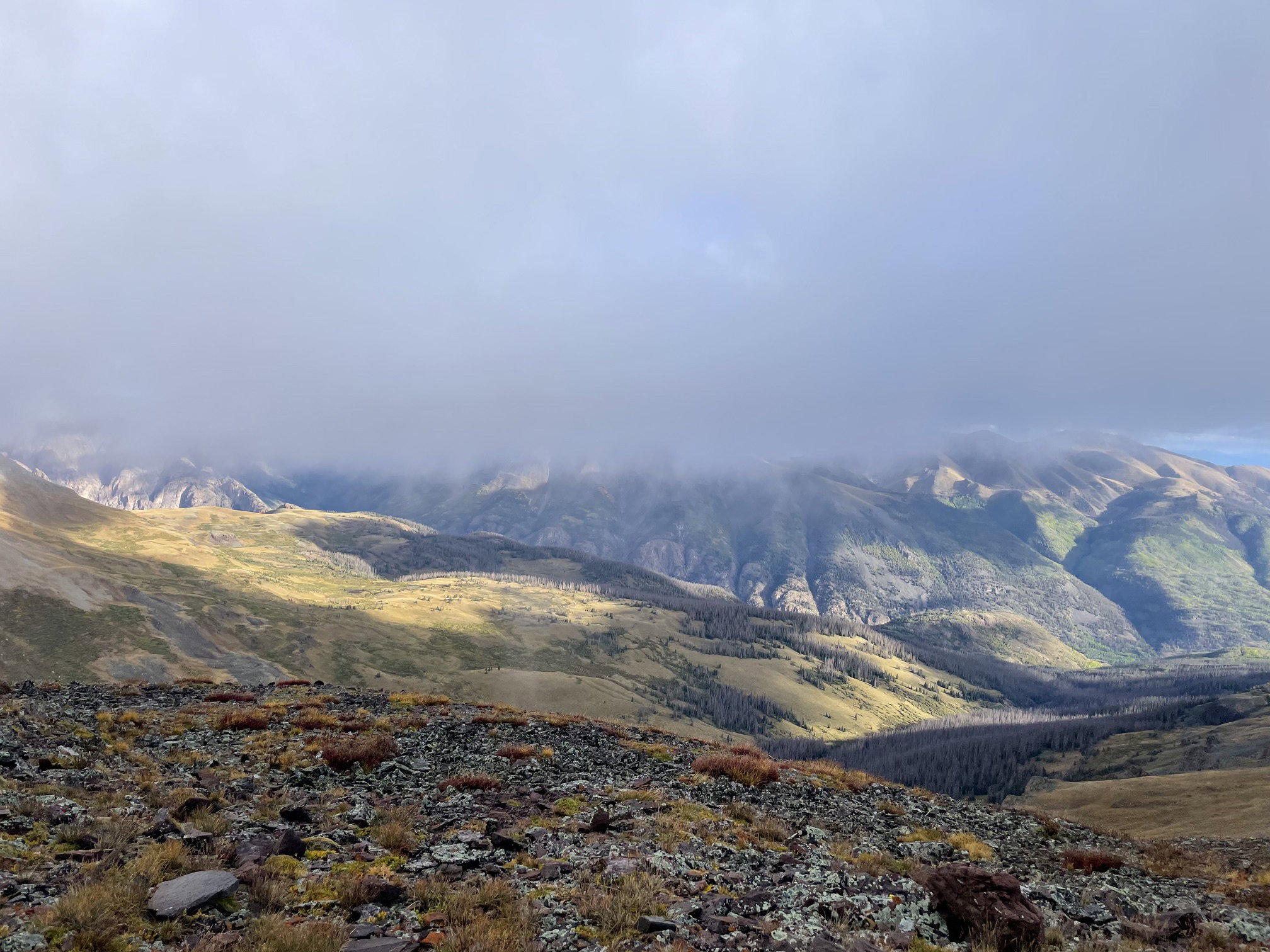
Views to the north from Carson Peak.
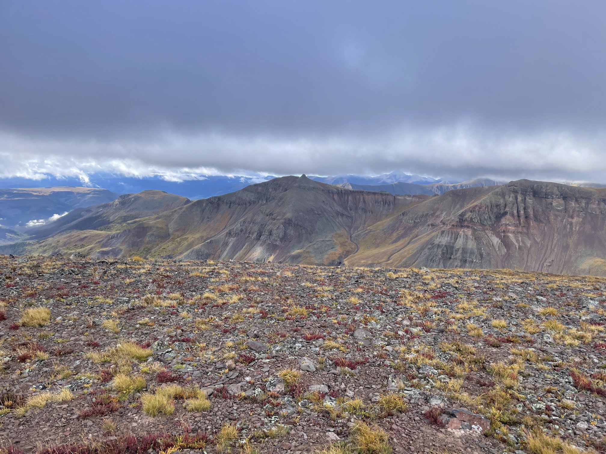
Views to the south from Carson Peak.
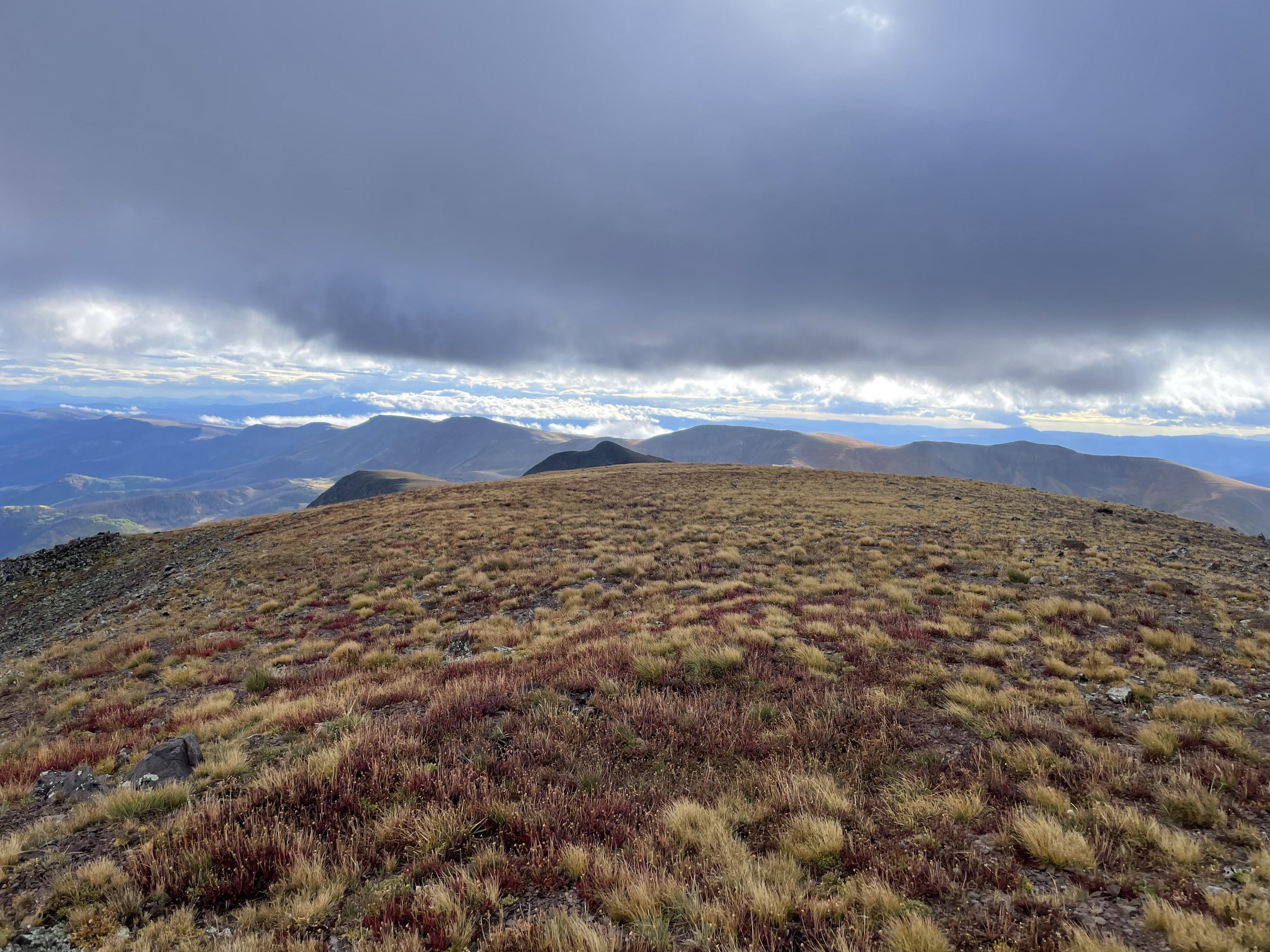
Views to the east from Carson Peak.
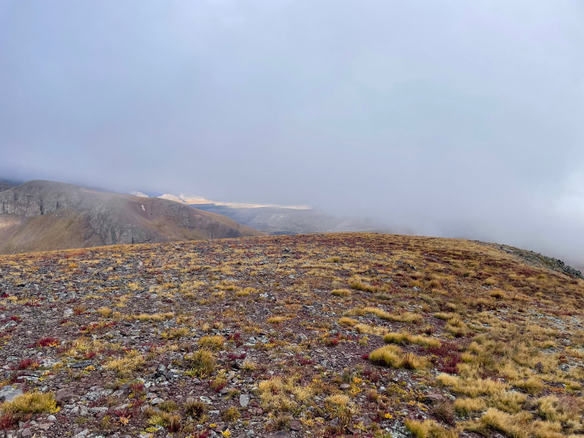
Views to the west from Carson Peak.
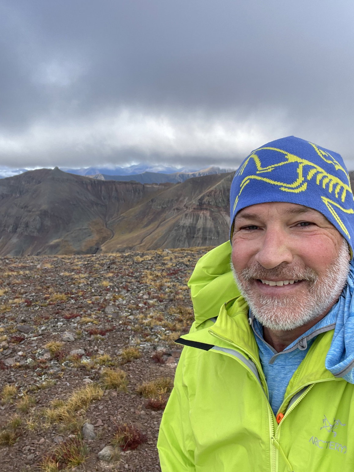
Summit Photo (Carson Peak)
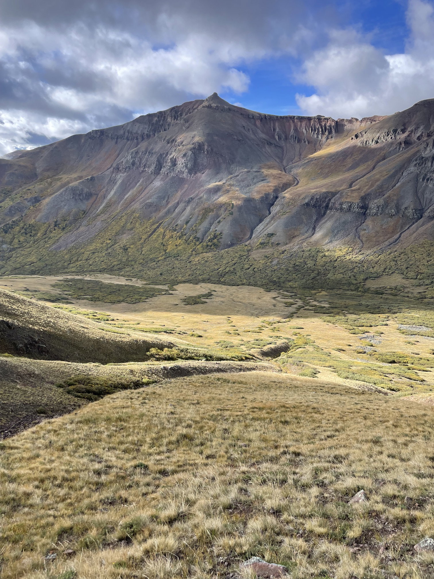
Point 13581 from the south slopes of Carson Peak.
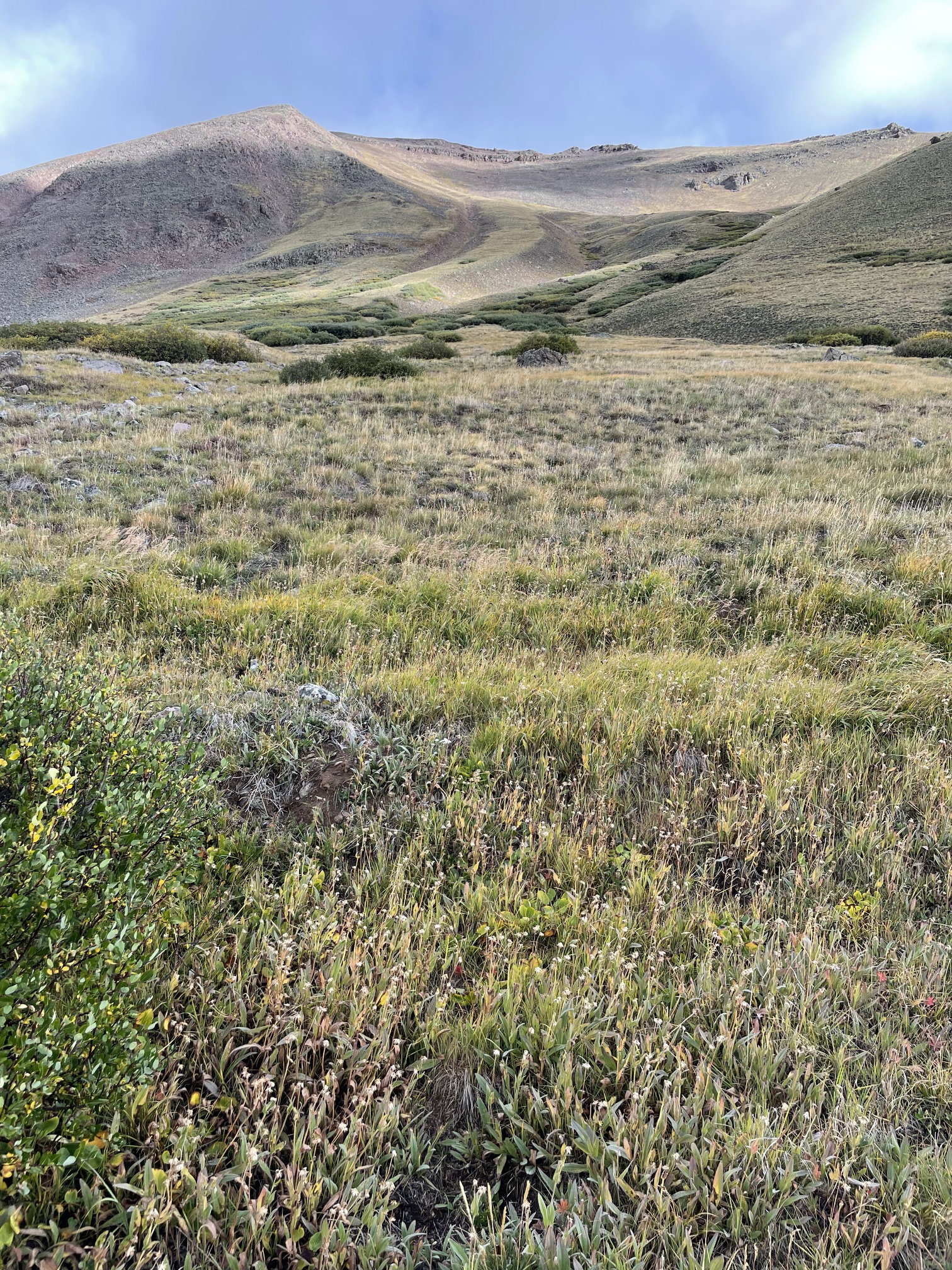
My descent route off Carson peak.
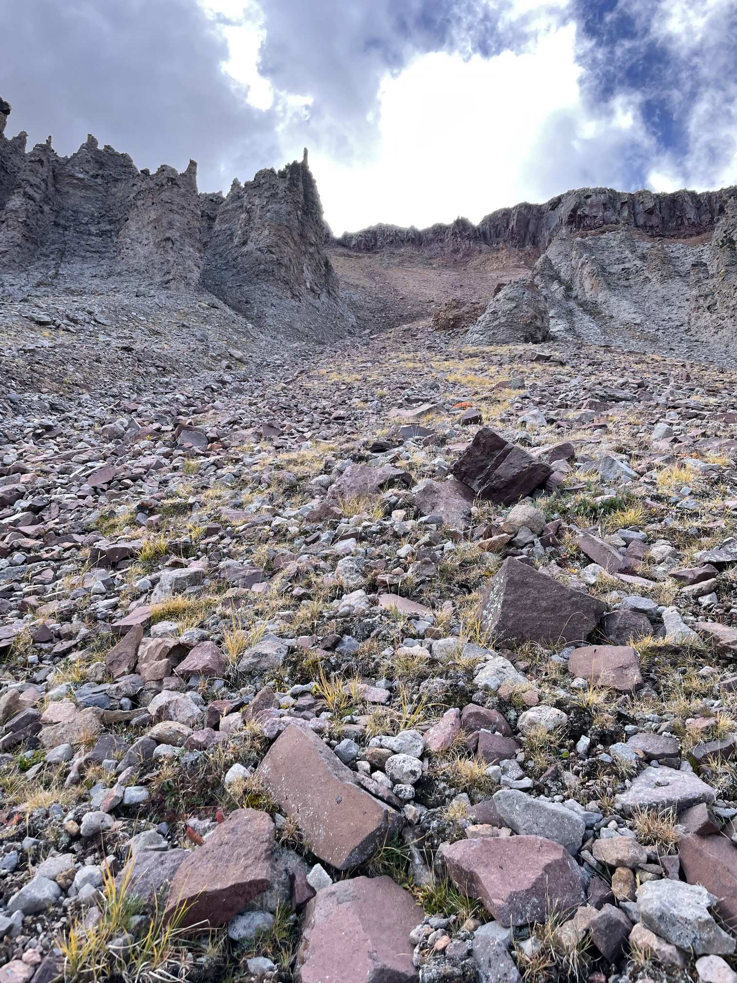
The steep and rotten gully I ascended up Point 13581.
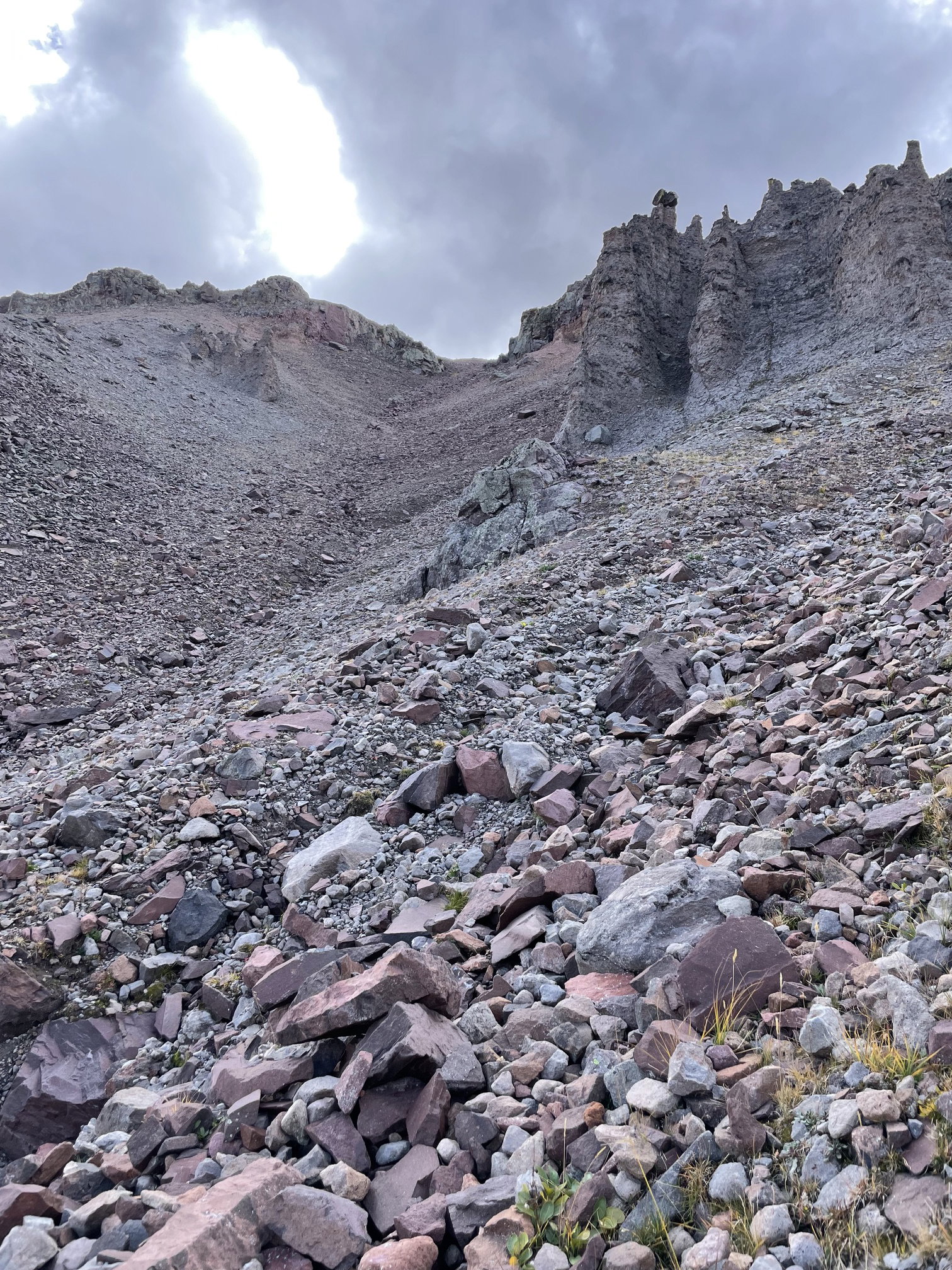
The steep and rotten gully I descended down Point 13581.
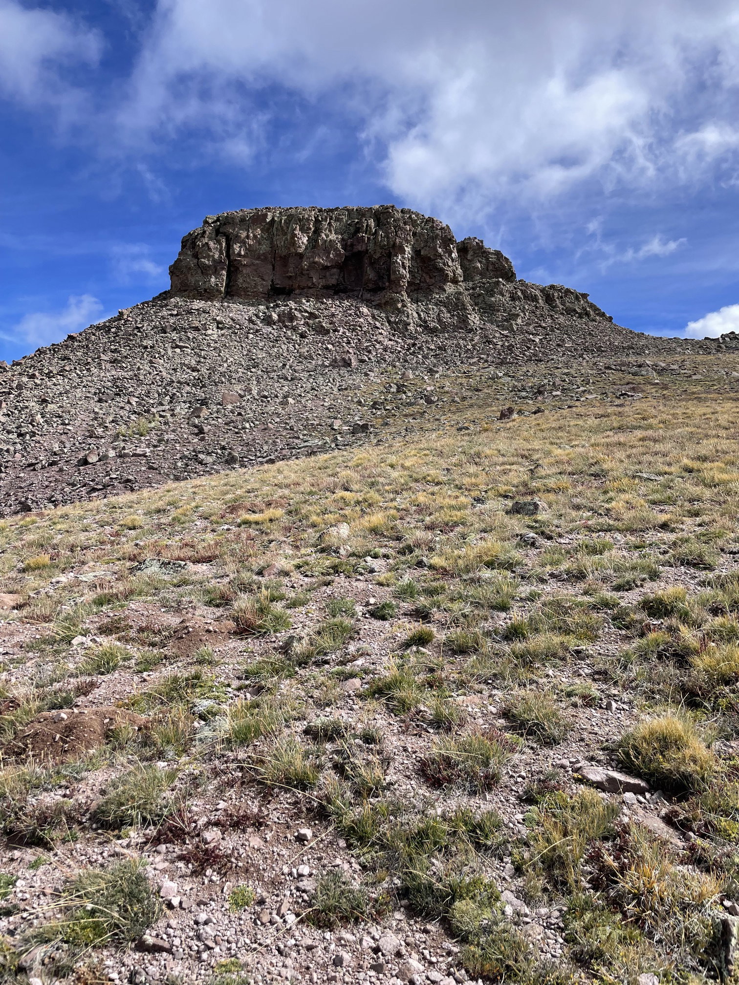
Point 13581 after I gained the ridge.
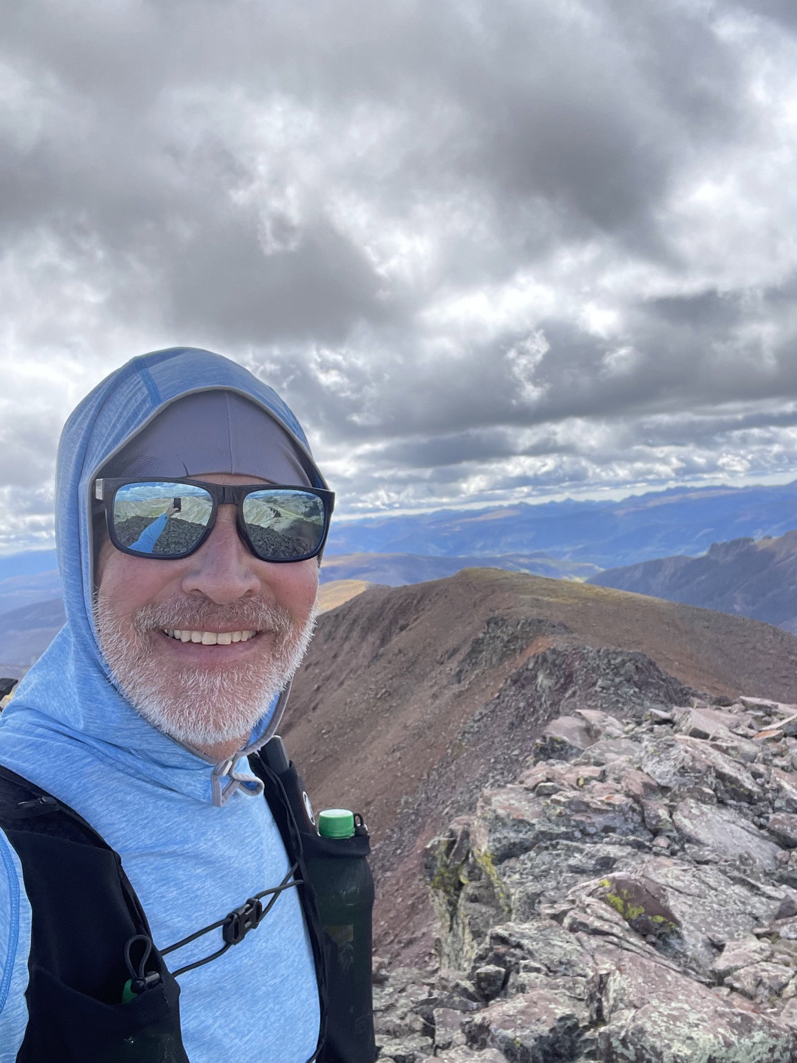
Summit Photo (Point 13581)
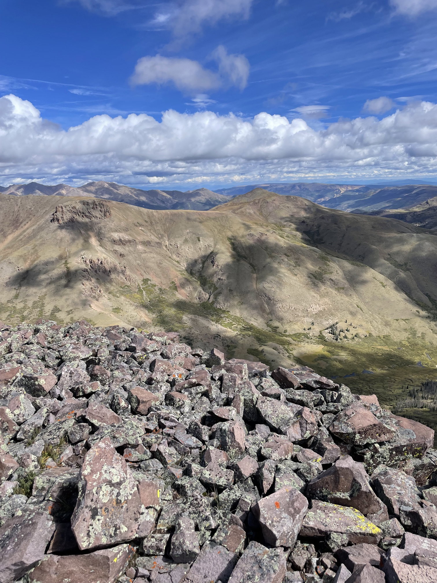
Views to the north from Point 13581.
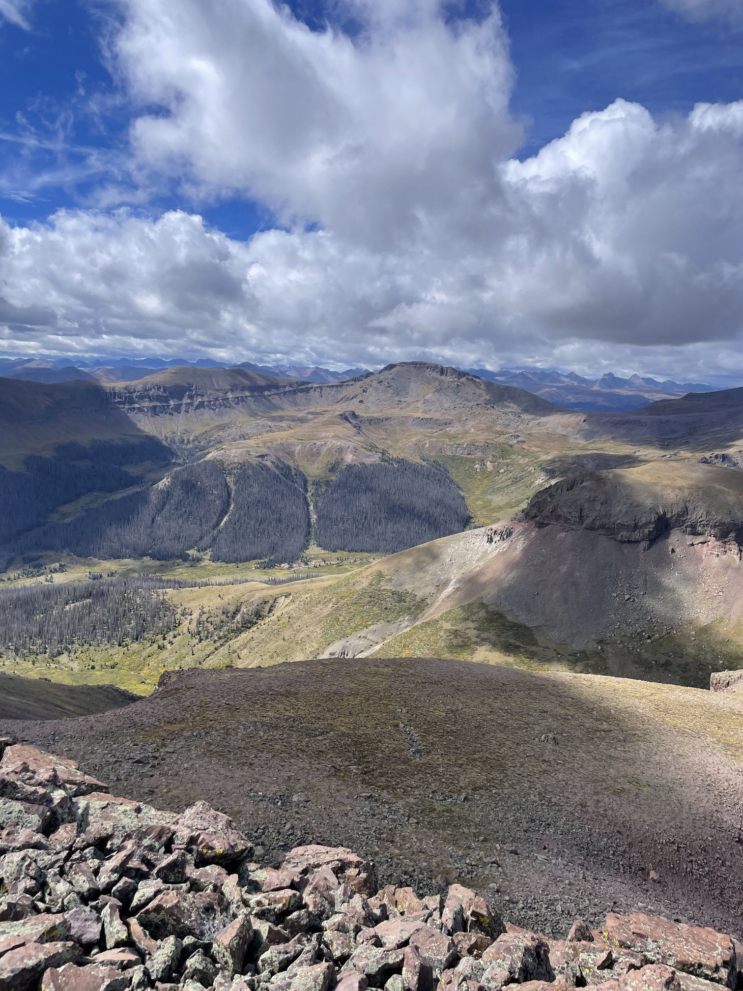
Views to the south from Point 13581.
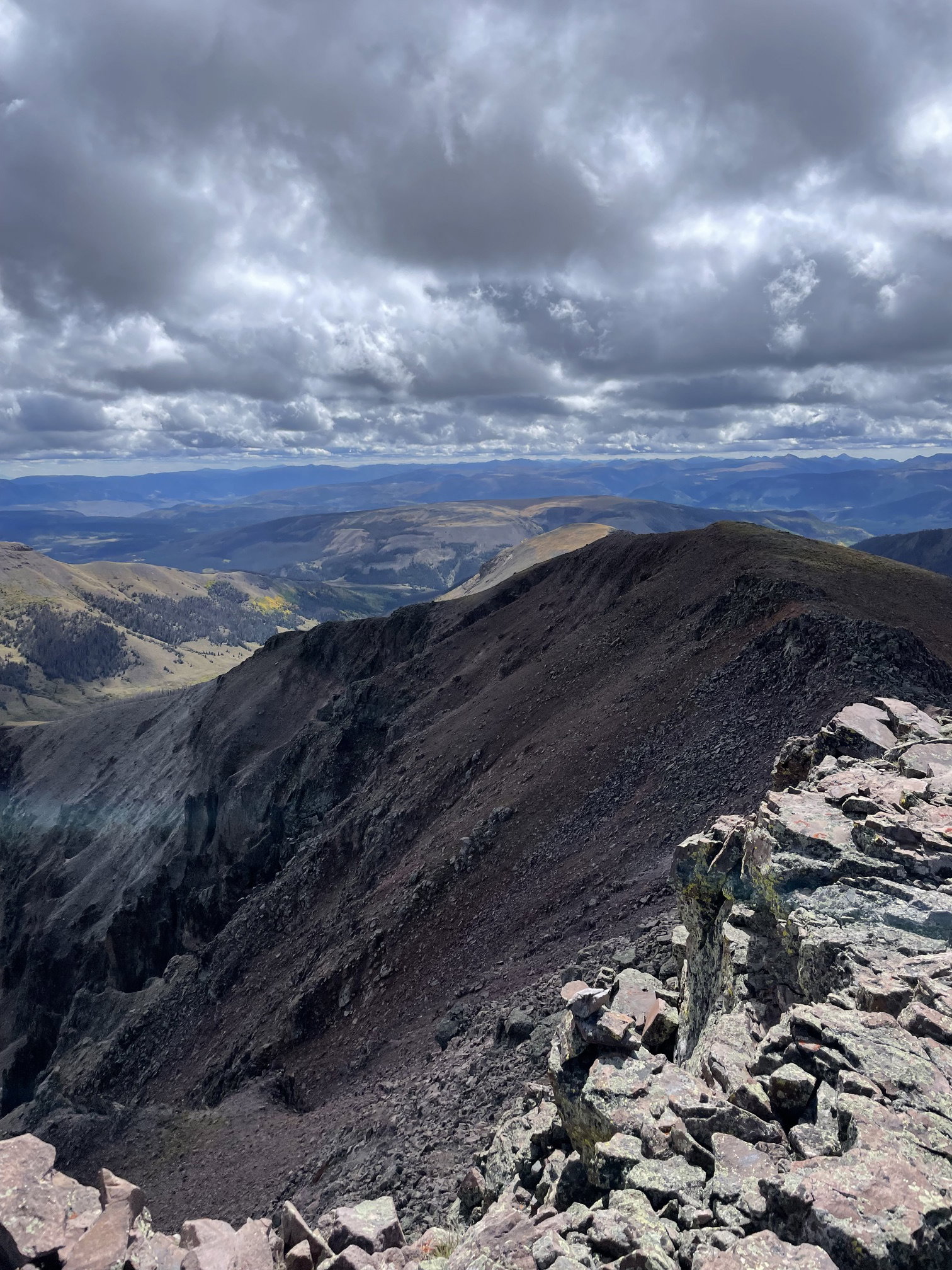
Views to the east from Point 13581.
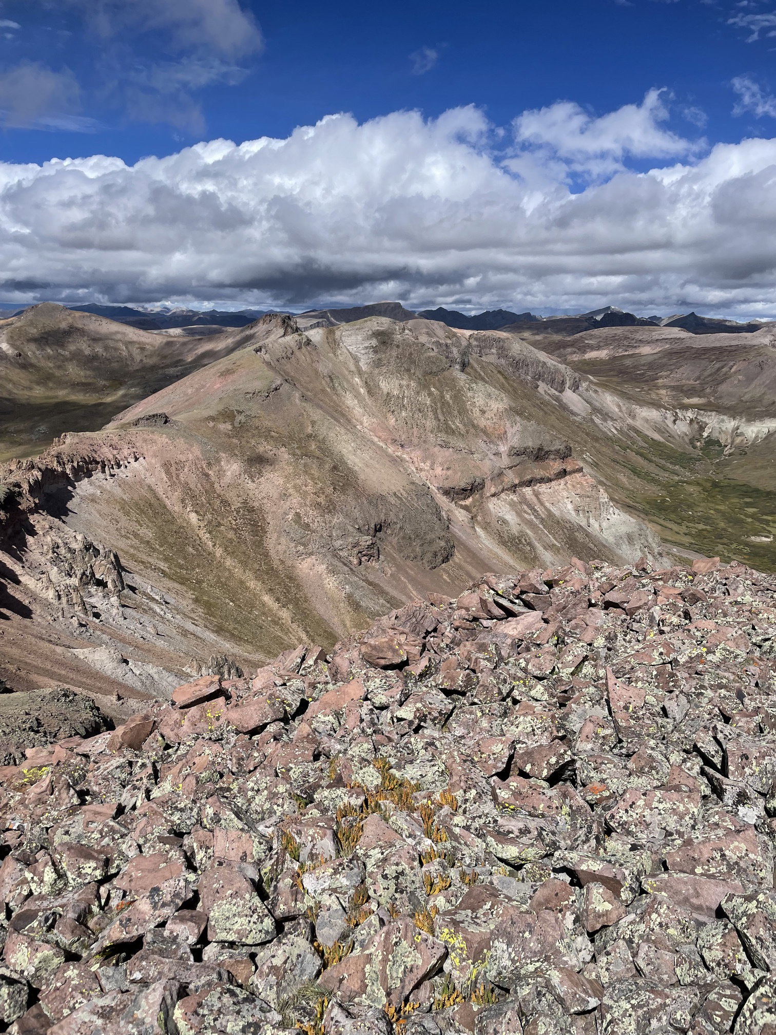
Views to the west from Point 13581.
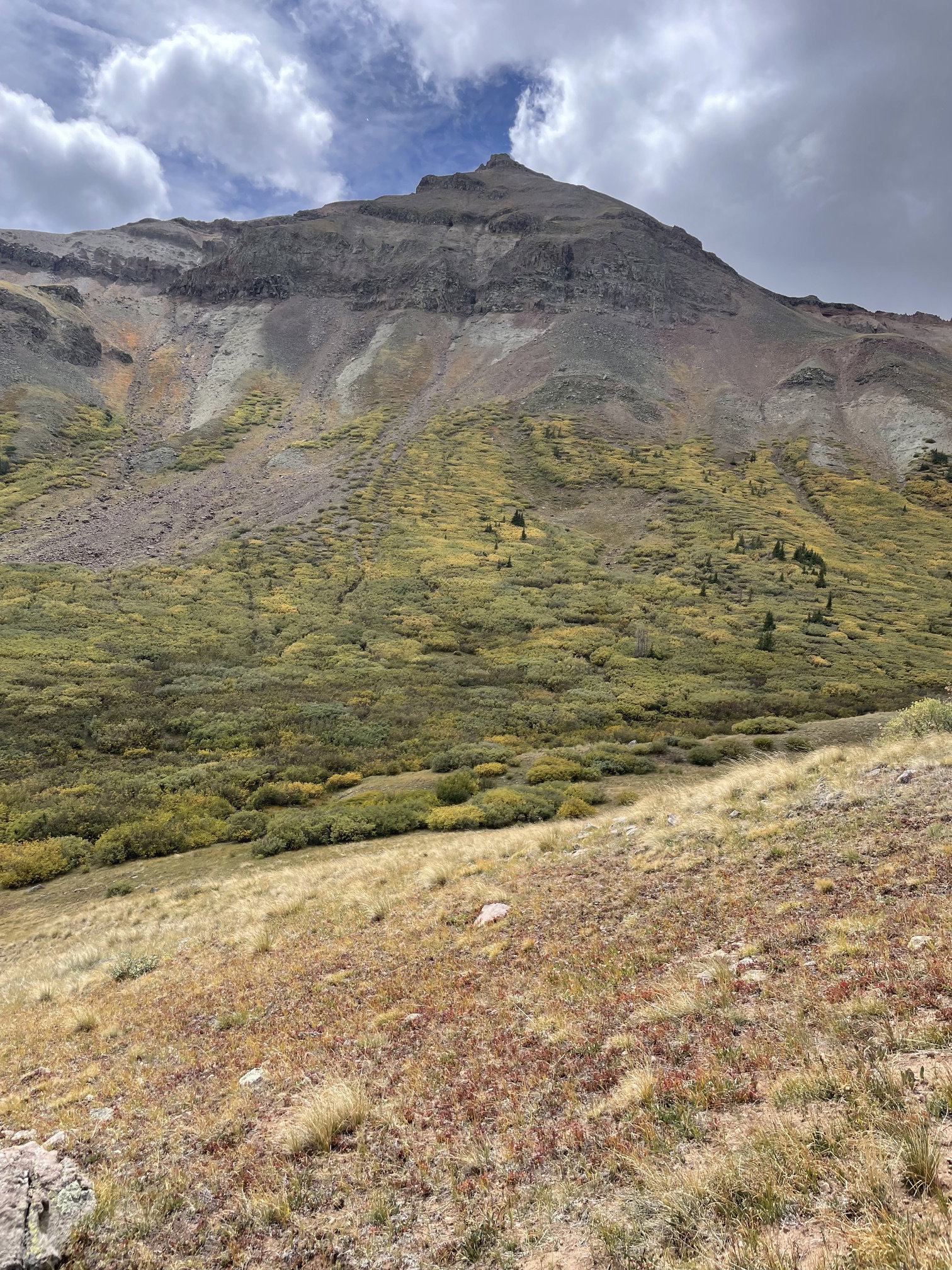
Point 13581 from the valley floor north of the peak.