
Arthurs Rock (1)
Statistics
- Date - 04/14/2026
- Elevation - 6,780'
- Route - Arthurs Rock Trail
- Miles - 3.4
- Elevation Gain - 1,135'
- ACME Mapper - Link
- CalTopo - Link
- Partners - Not Applicable
Description
I drove to Lowry State Park to do a quick evening hike to the top of Arthurs Rock. The summit is named after Arthur Howard who owned the land with his brother Charlie before it became a state park in 1967. This short but relatively steep hike has a very well-maintained trail all the way to the summit. From the top there are good views of Horsetooth Reservoir.
Photos
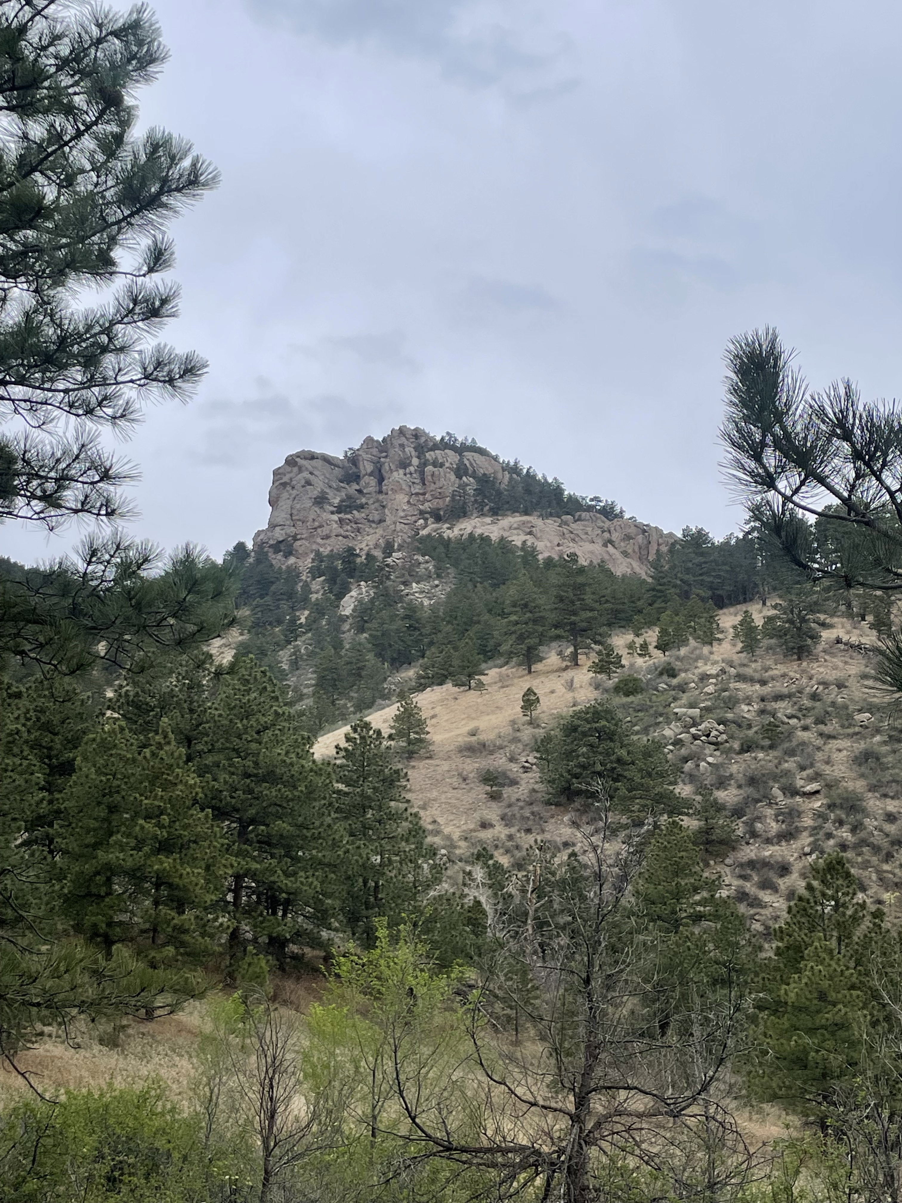
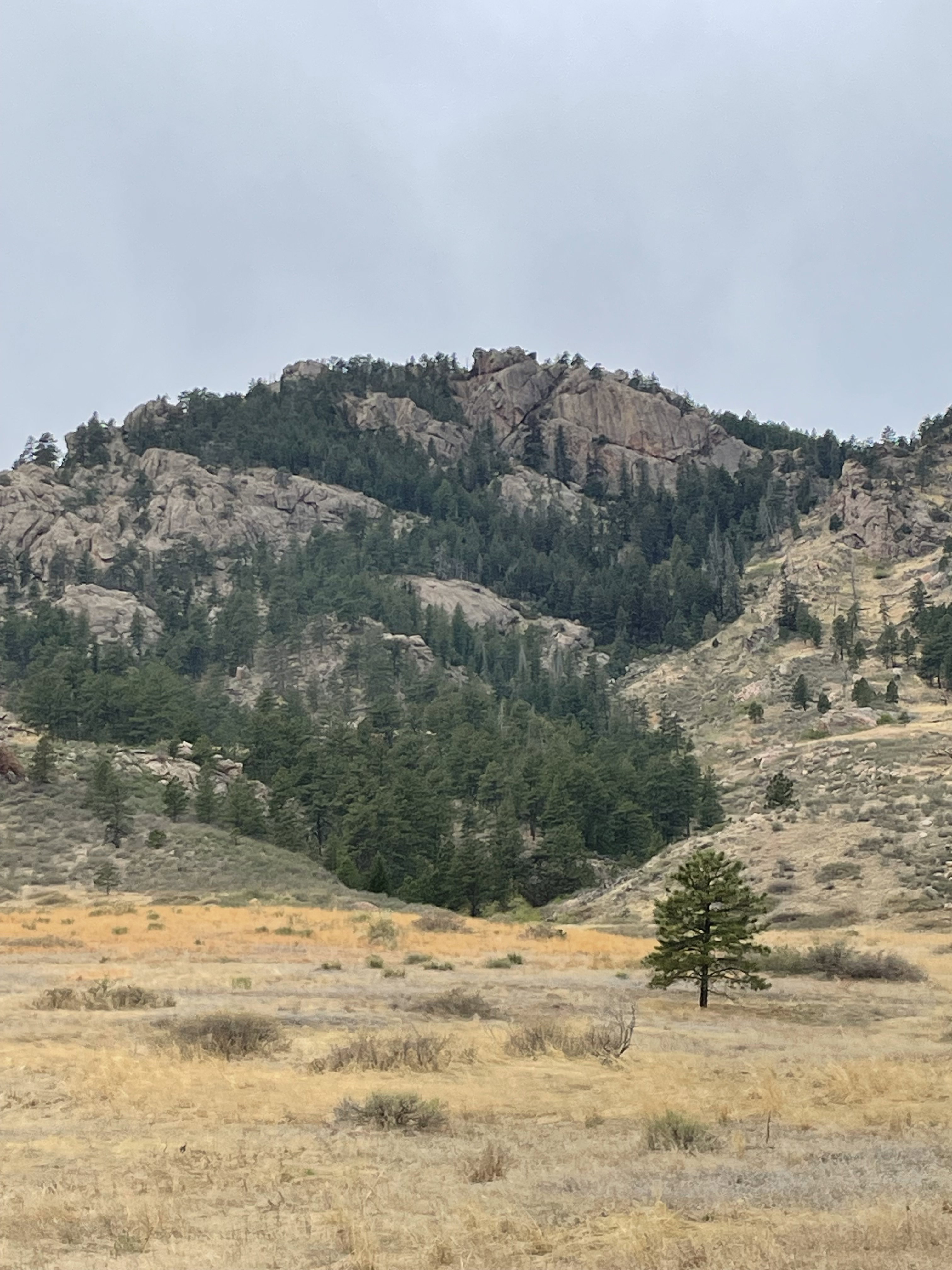
Arthurs Rock from the south on the hike to the summit.
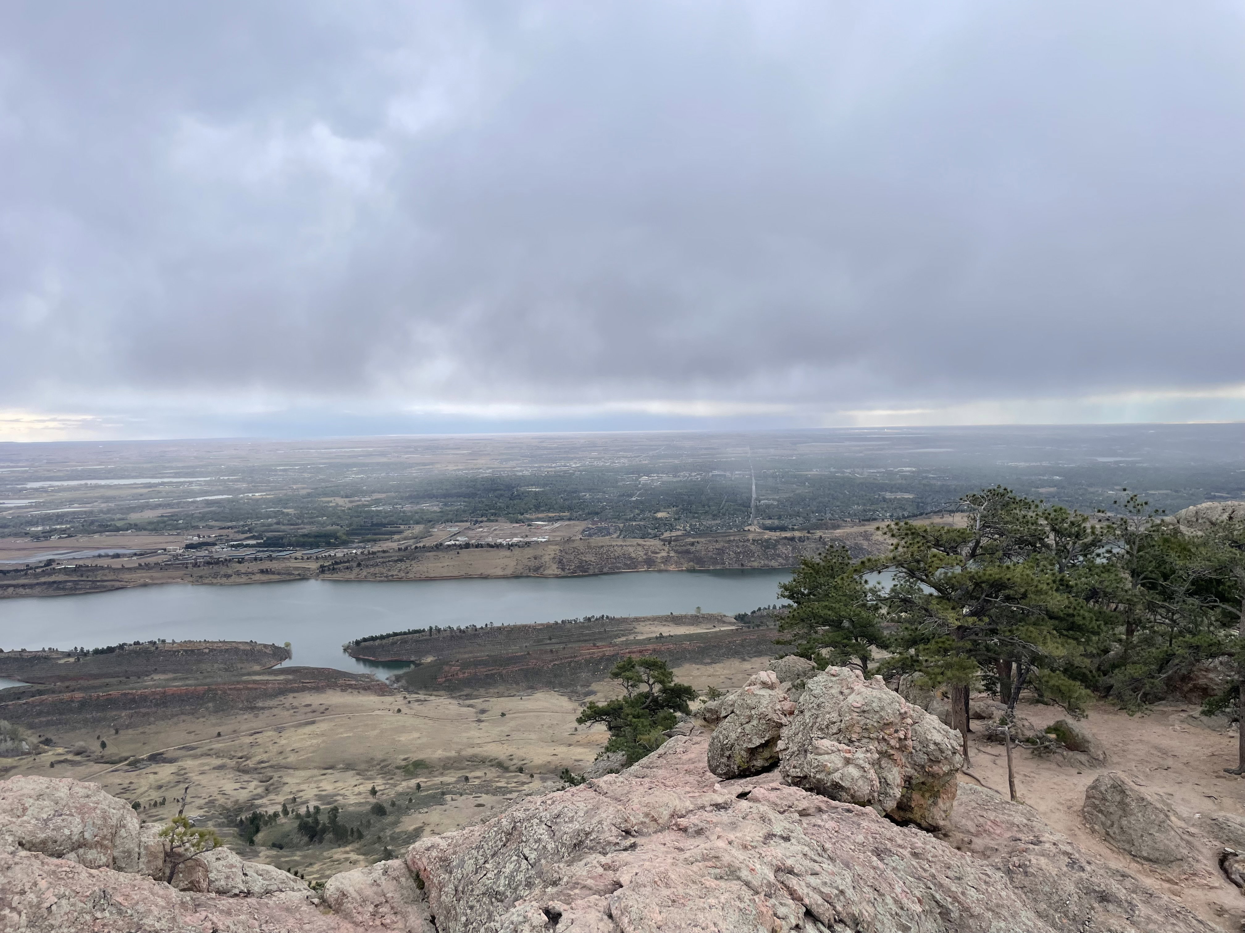
Views to the east from the top of Arthurs Rock.
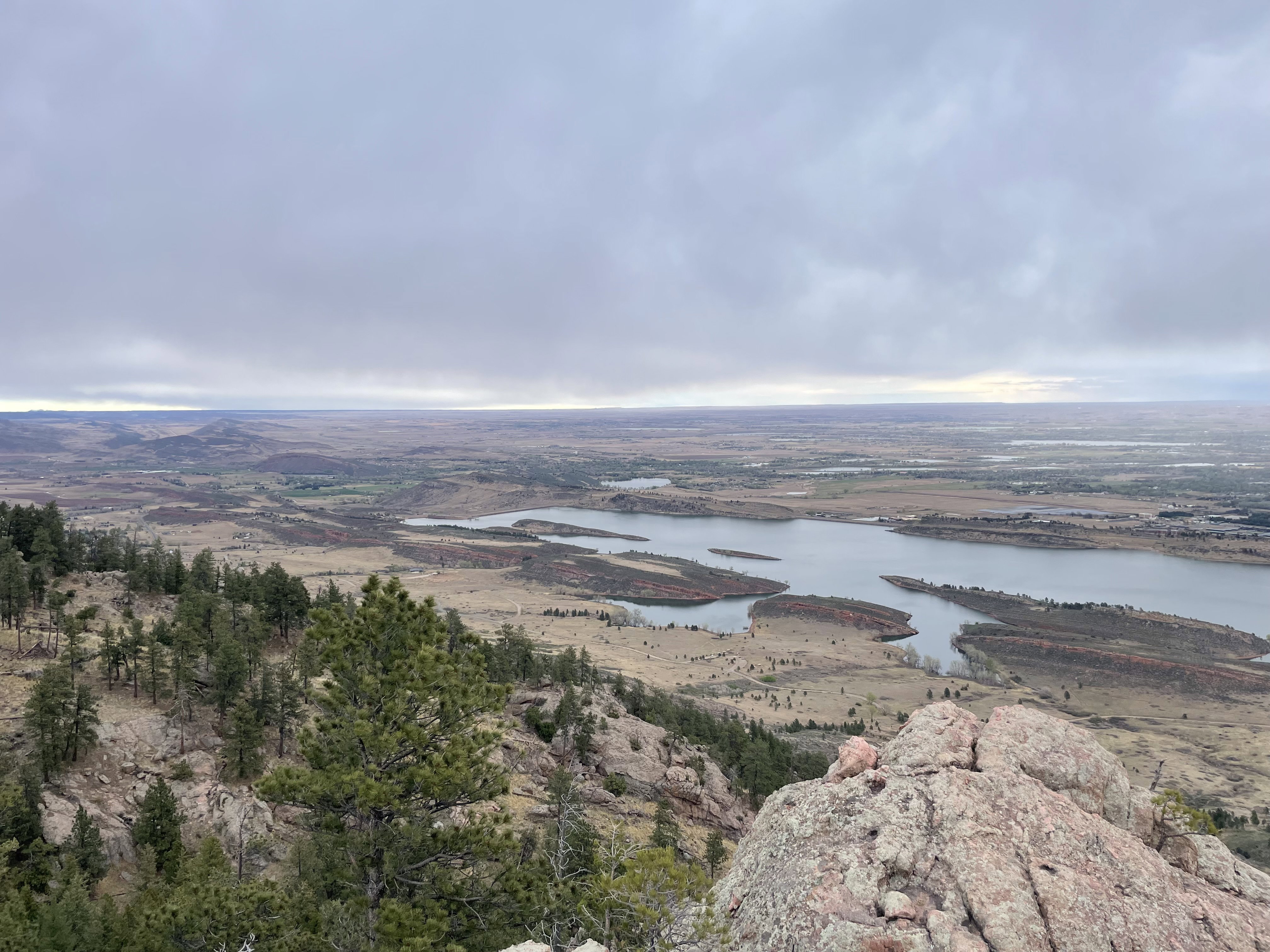
Views to the northeast from the top of Arthurs Rock.
Views to the southeast from the top of Arthurs Rock.
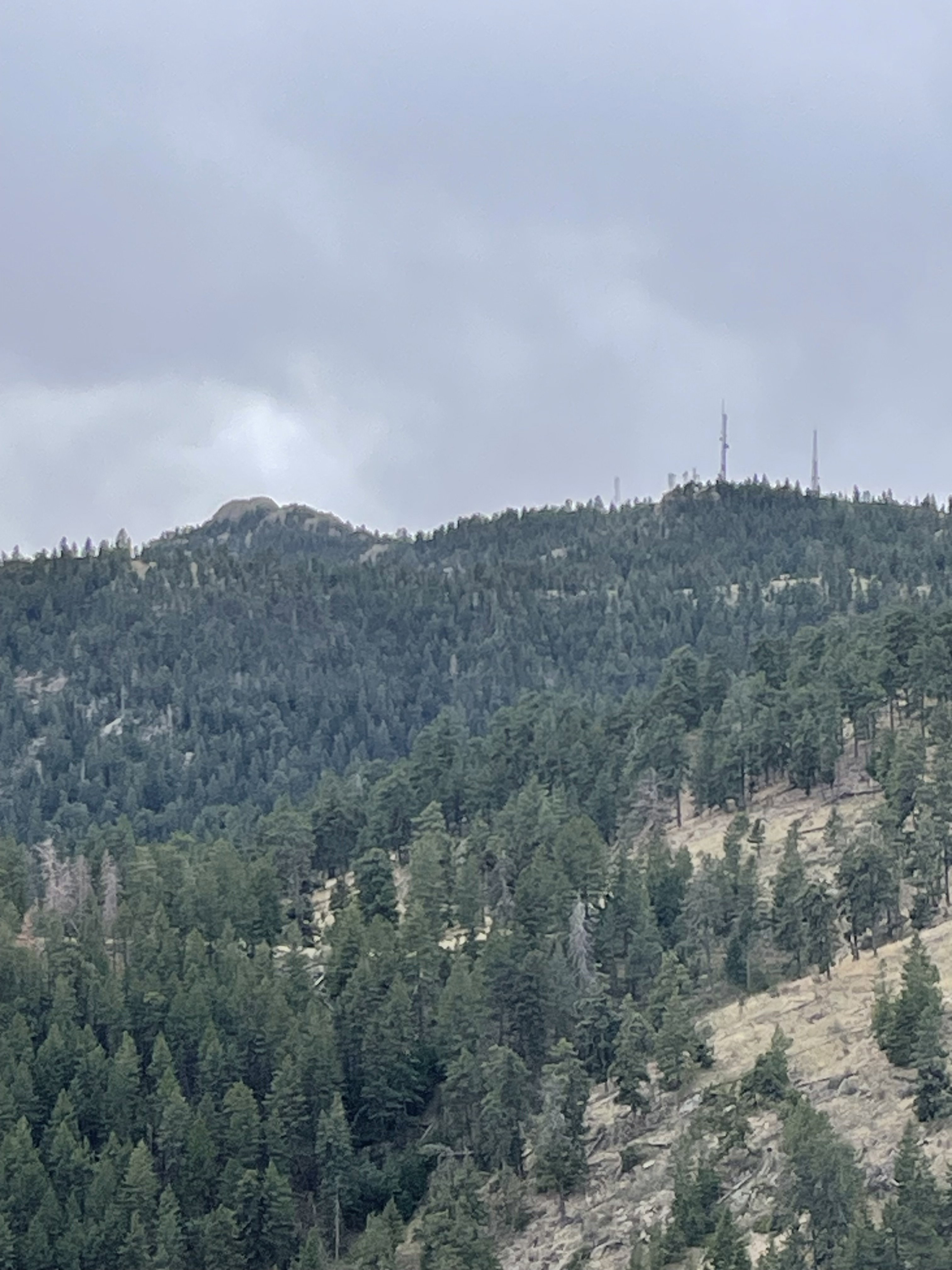
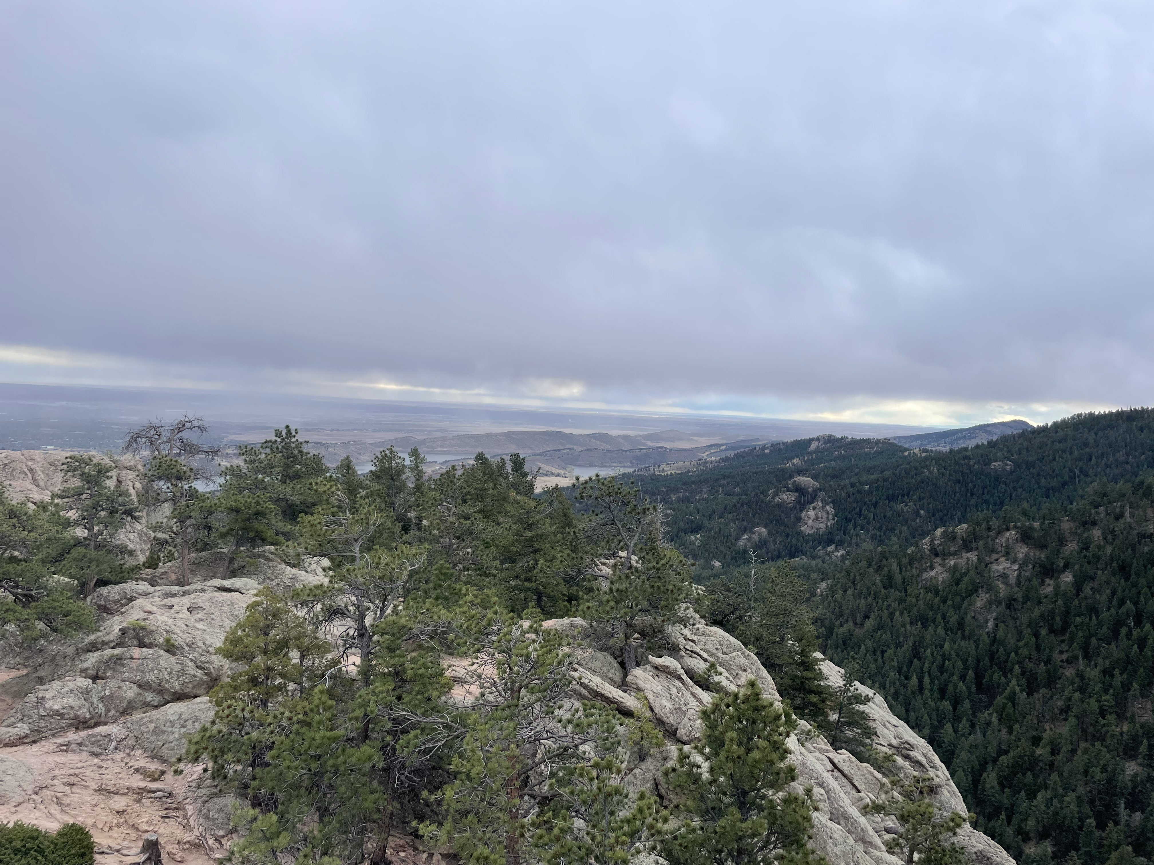
Horsetooth Mountain from Arthurs Rock.

Summit Photo
Arthurs Rock from the road on the drive out of the park.