
Bald Mountain
Statistics
- Date - 09/11/2022
- Elevation - 13,684'
- Route - South Ridge
- Miles - 6.0
- Elevation Gain - 2,695'
- ACME Mapper - Link
- CalTopo - Link
- Partners - Not Applicable
Description
According to the new Light Imaging Detection and Ranging (LIDAR) elevations, Bald Mountain is actually 13,703'. However, the data on my website is from the older map elevations and I am not that motivated to go through and update the elevations. The increase in elevation for the mountain moved Bald from 155th tallest to 145th tallest in Colorado.
After hiking Point 13768 the previous day, I drove from Minturn, Colorado, to Boreas Pass after getting some lunch in Fairplay, Colorado. The night was rather cold sleeping on Boreas Pass, so I slept in and didn't start hiking until 8:45 am. The initial section of the hike follows the trail towards Black Powder Pass. Before I reached the pass, I cut north and simply started ascending the south slopes of Bald Mountain.
After gaining the first main southern point of Bald Mountain, the ridge begins undulating as you head north to reach the actual highest point of the peak. I seemed to struggle most of the morning and was a bit demoralized knowing I'd have to gain some elevation on the way back to the trailhead. Nevertheless, I reached the summit after 2 hours and 45 minutes of hiking. I only stayed on the summit for 15 minutes and then reversed my route back to Boreas Pass for a car-to-car time of 4 hours and 30 minutes.
Photos
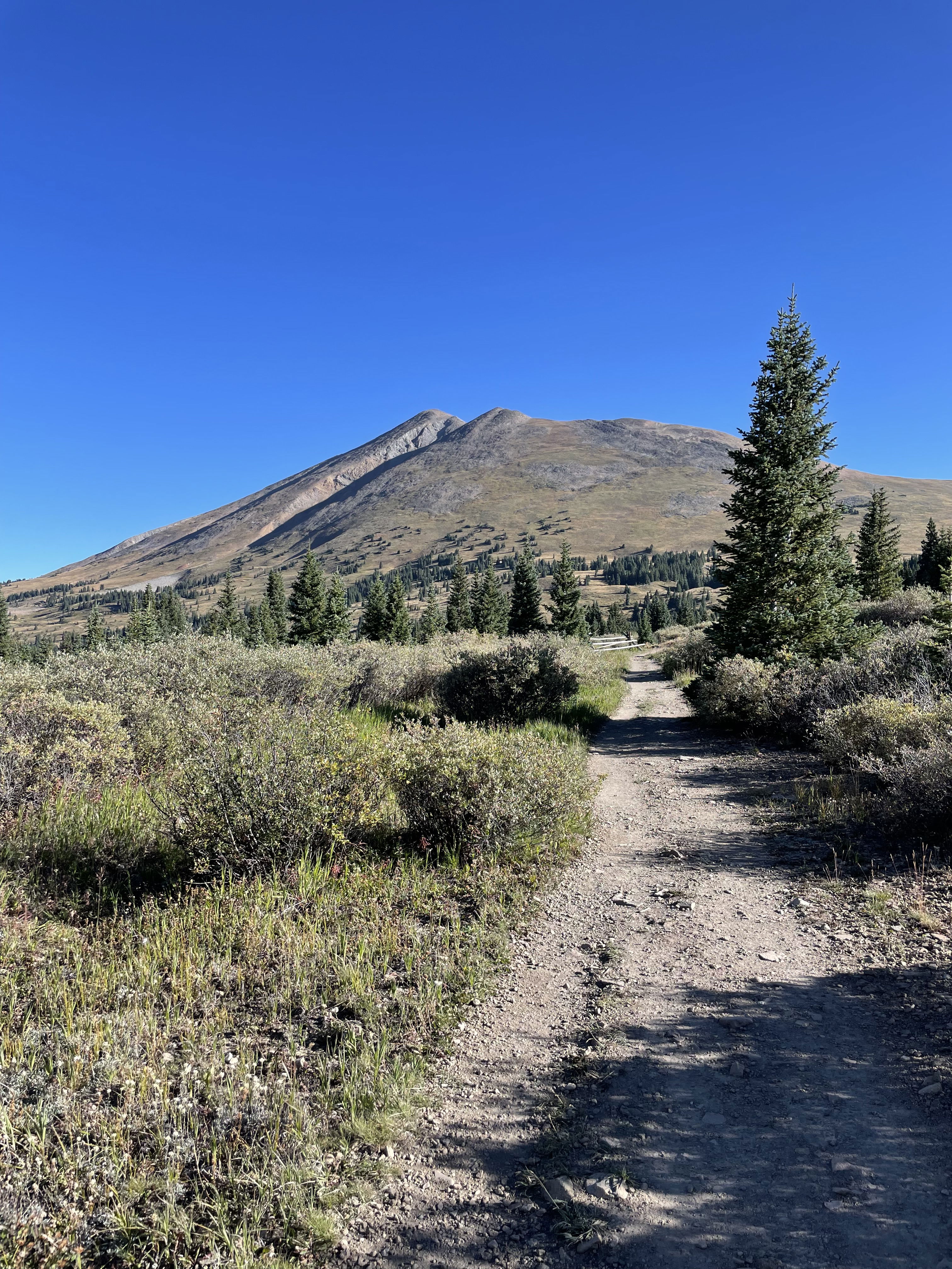
Bald Mountain from the trail early in the hike.
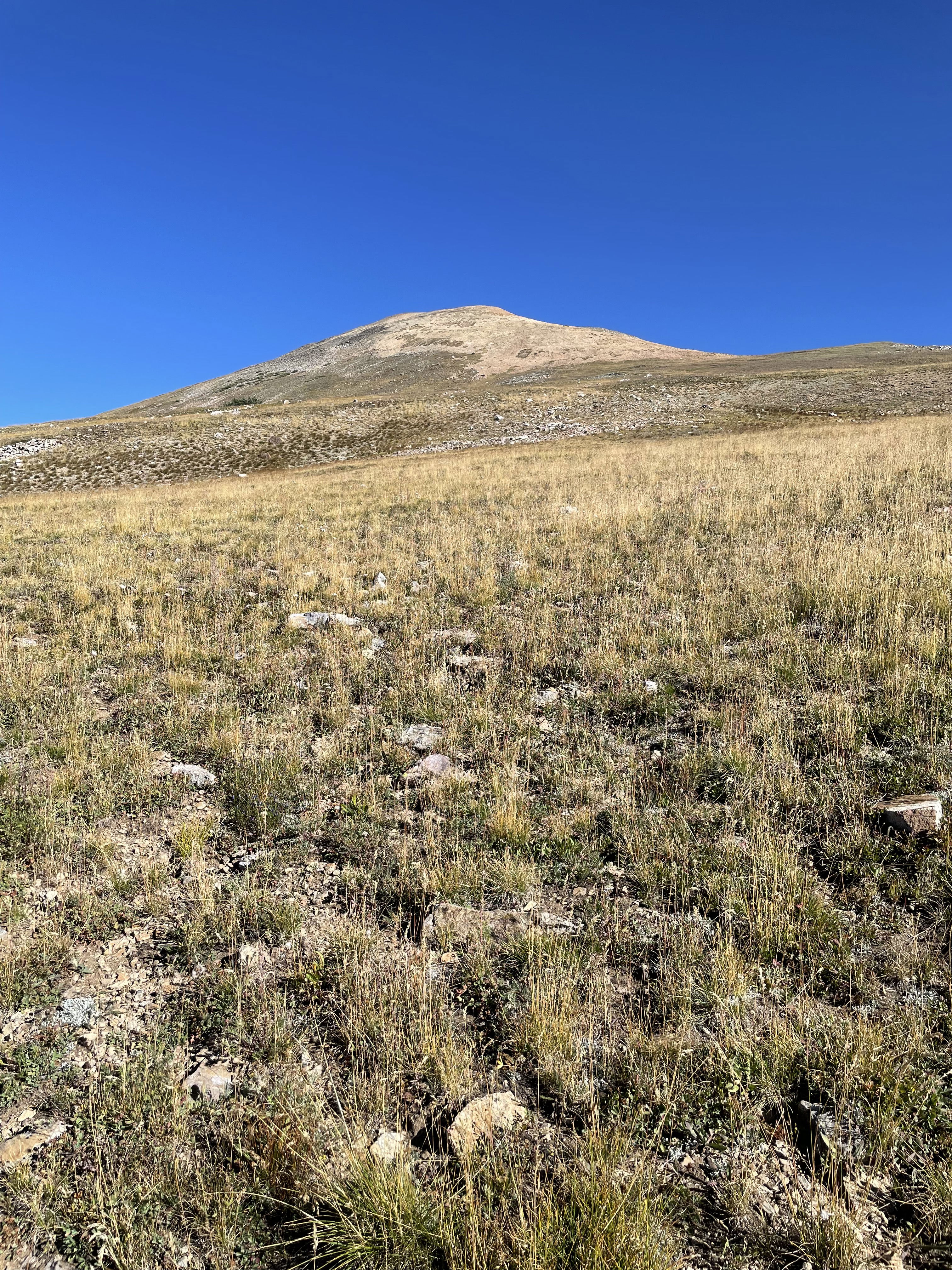
Looking up the mellow south slopes of Bald Mountain.
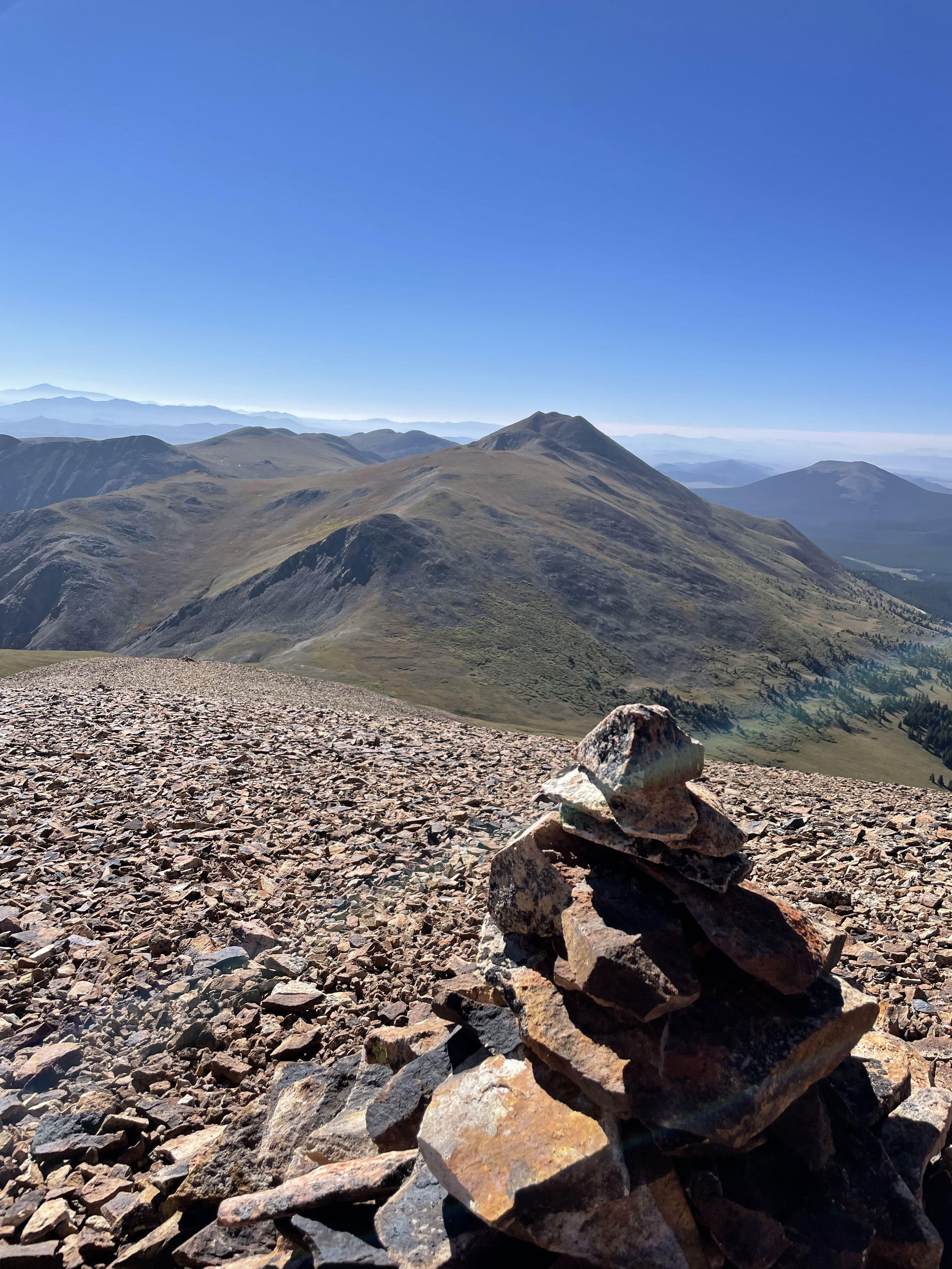
Boreas Mountain from the south slopes of Bald Mountain.
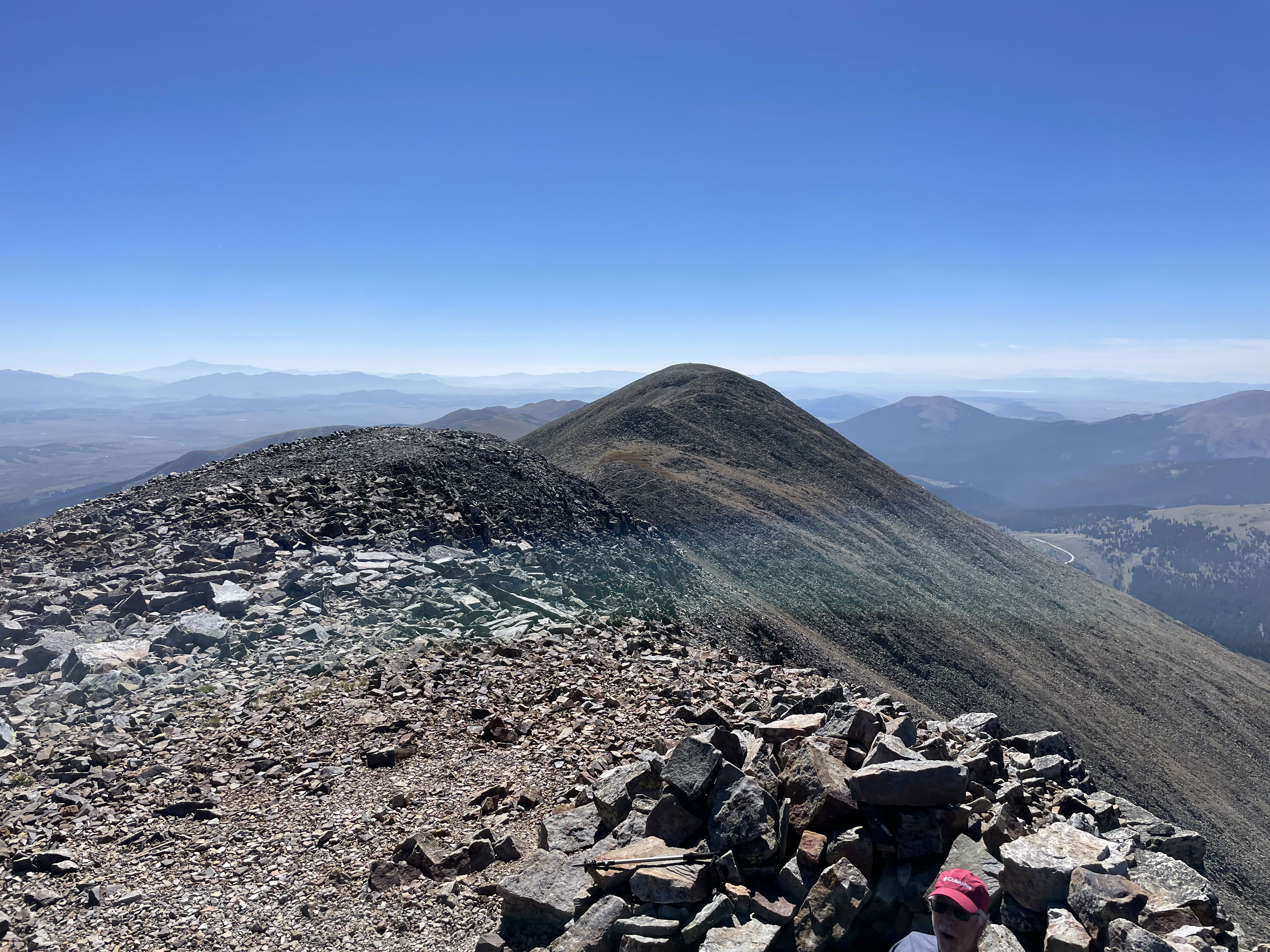
The up and down south ridge from the summit.
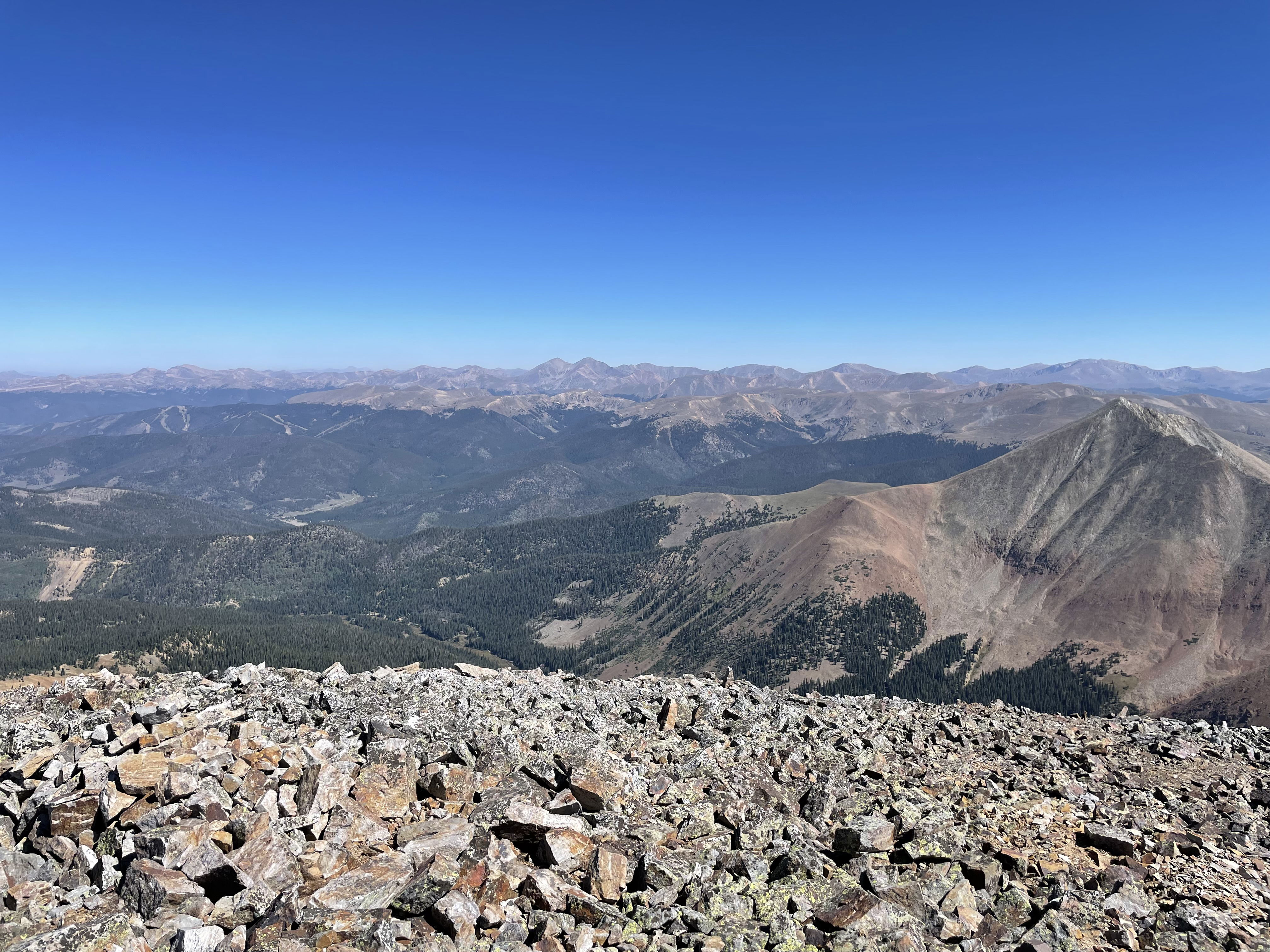
Views to the northeast from the top of Bald Mountain.
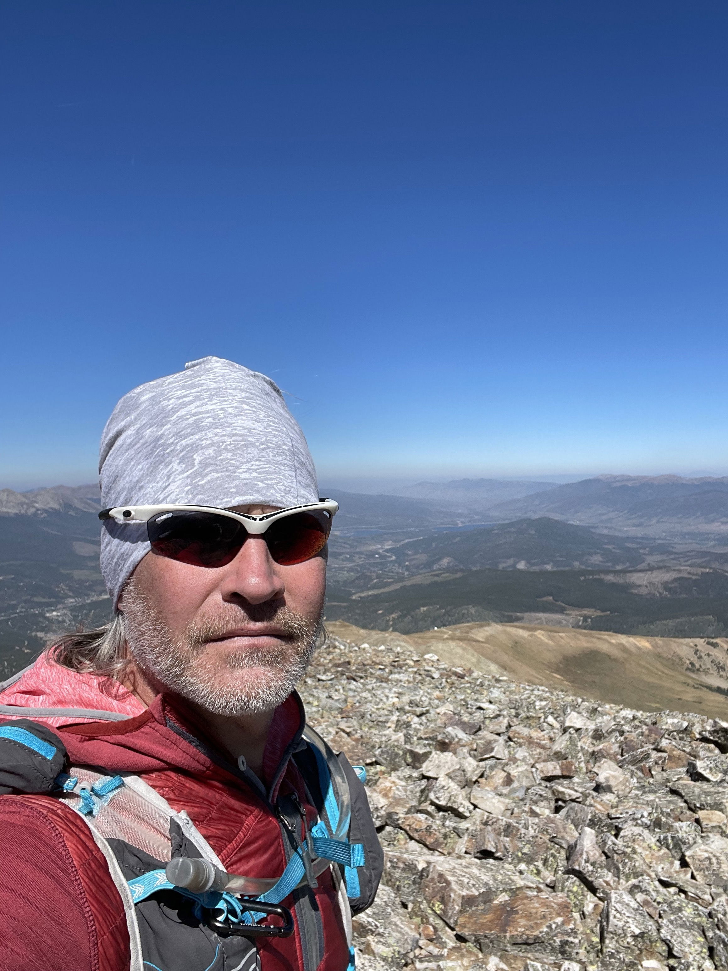
Summit Photo
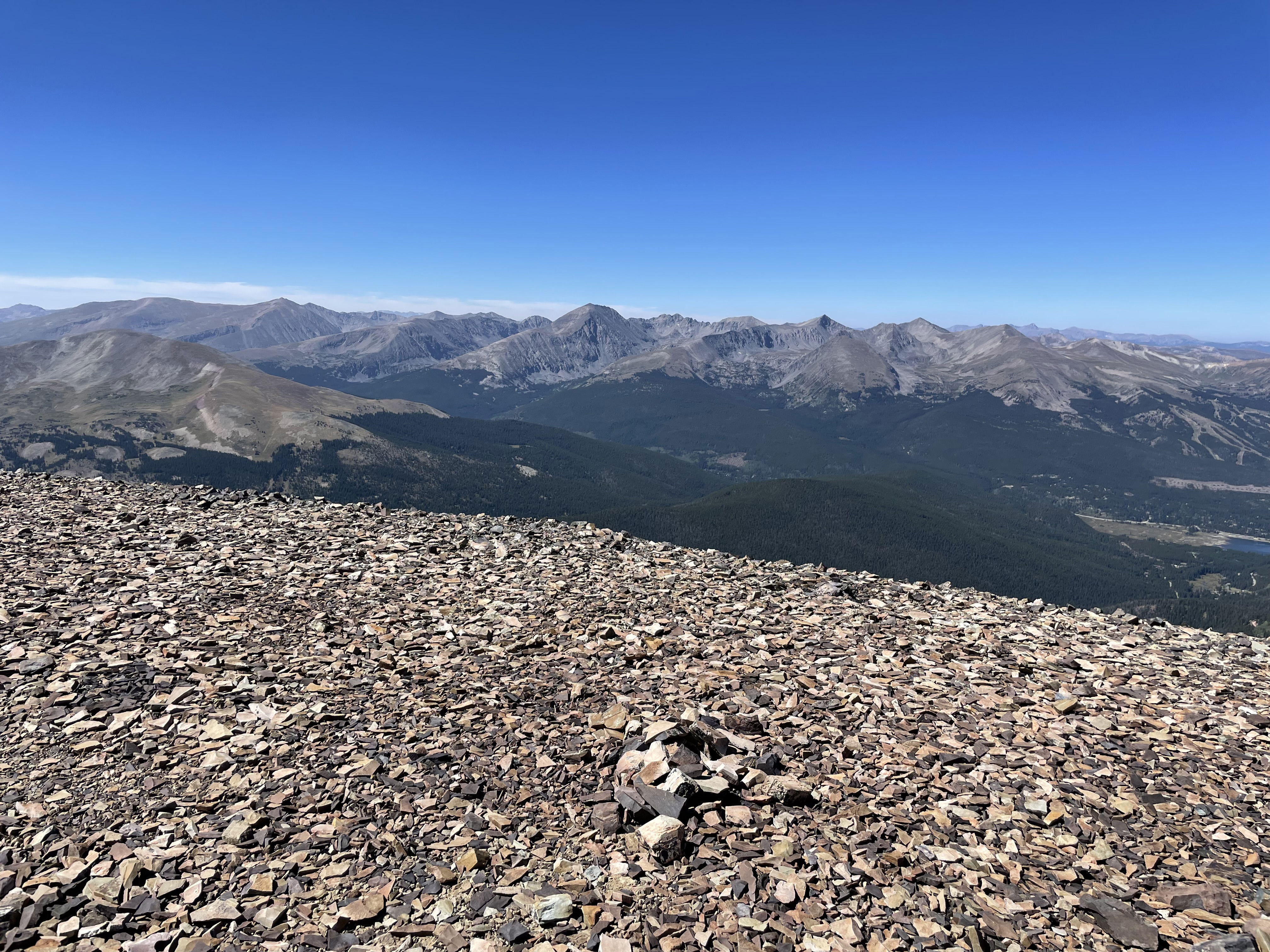
Views to the west and Quandary Peak from the south ridge.
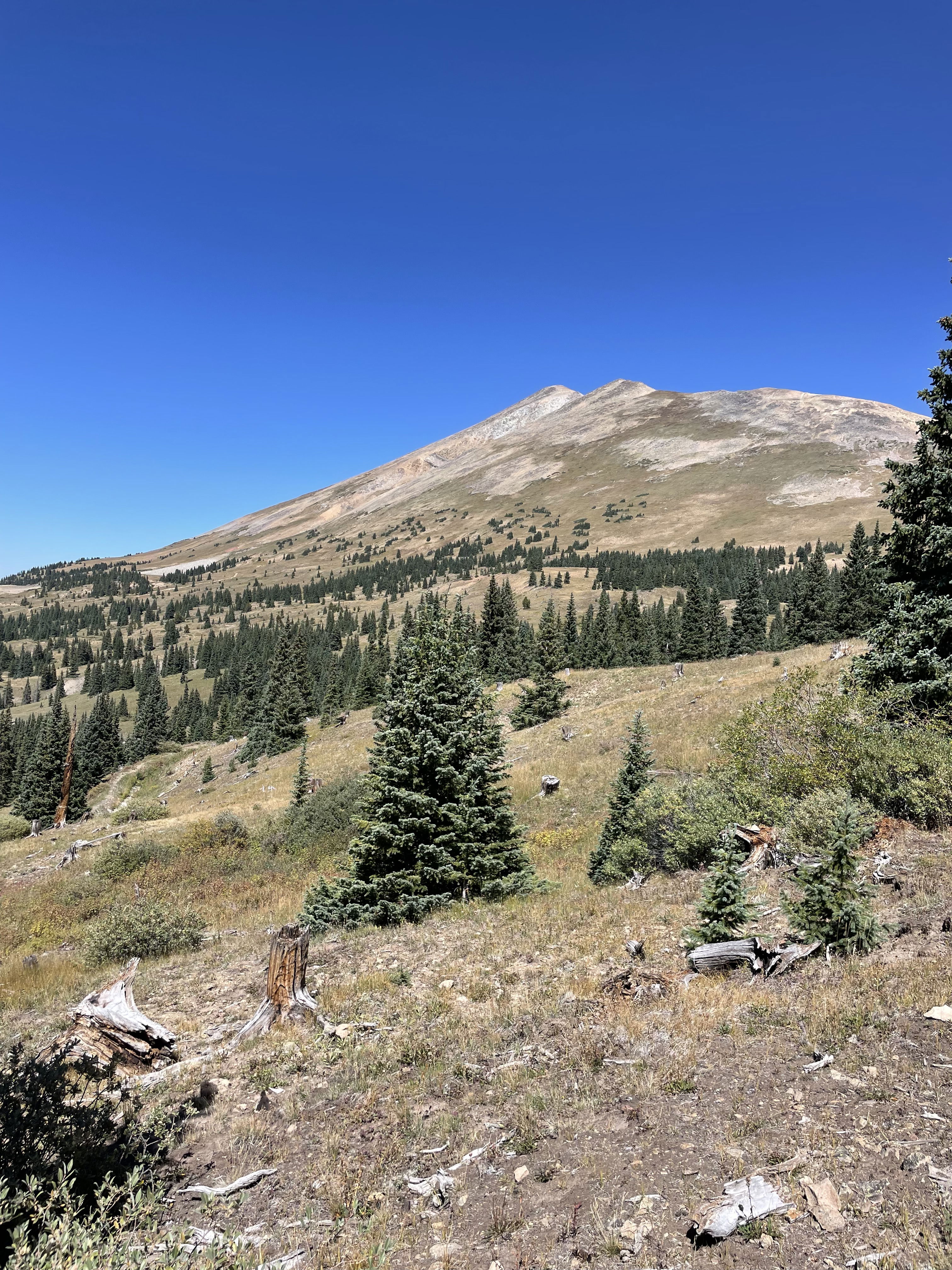
Bald Mountain on the hike out.