
Devisadero Peak
Statistics
- Date - 03/26/2019
- Elevation - 8,304'
- Route - Devisadero Loop Trail
- Miles - 4.7
- Elevation Gain - 1,235'
- ACME Mapper - Link
- CalTopo - Link
- Partners - Not Applicable
Description
I was working in Taos, New Mexico, and went for hike after work. The trailhead is just off of Highway 64 southeast of town. It was a well established trail all the way to the nondescript summit with no views.
Photos
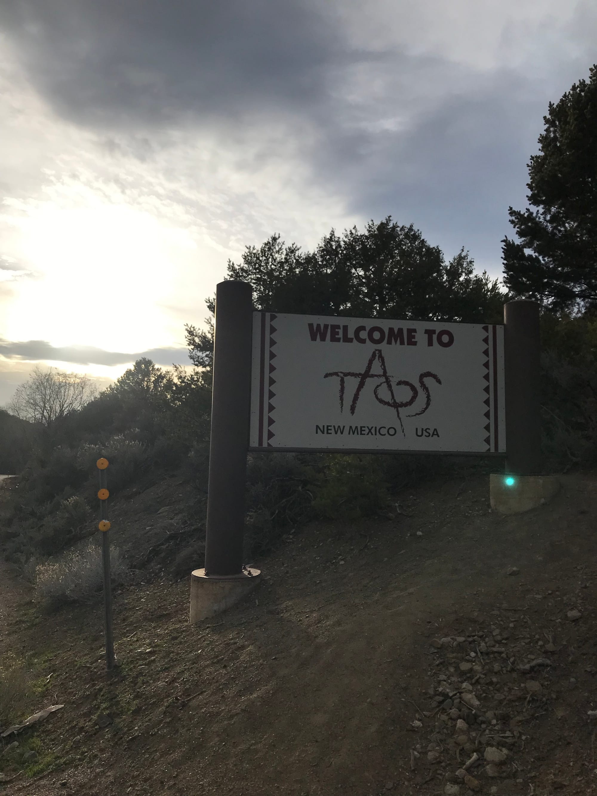 Sign
Sign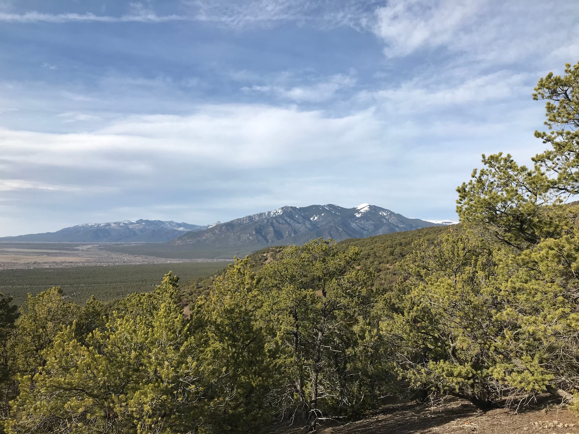 Views
Views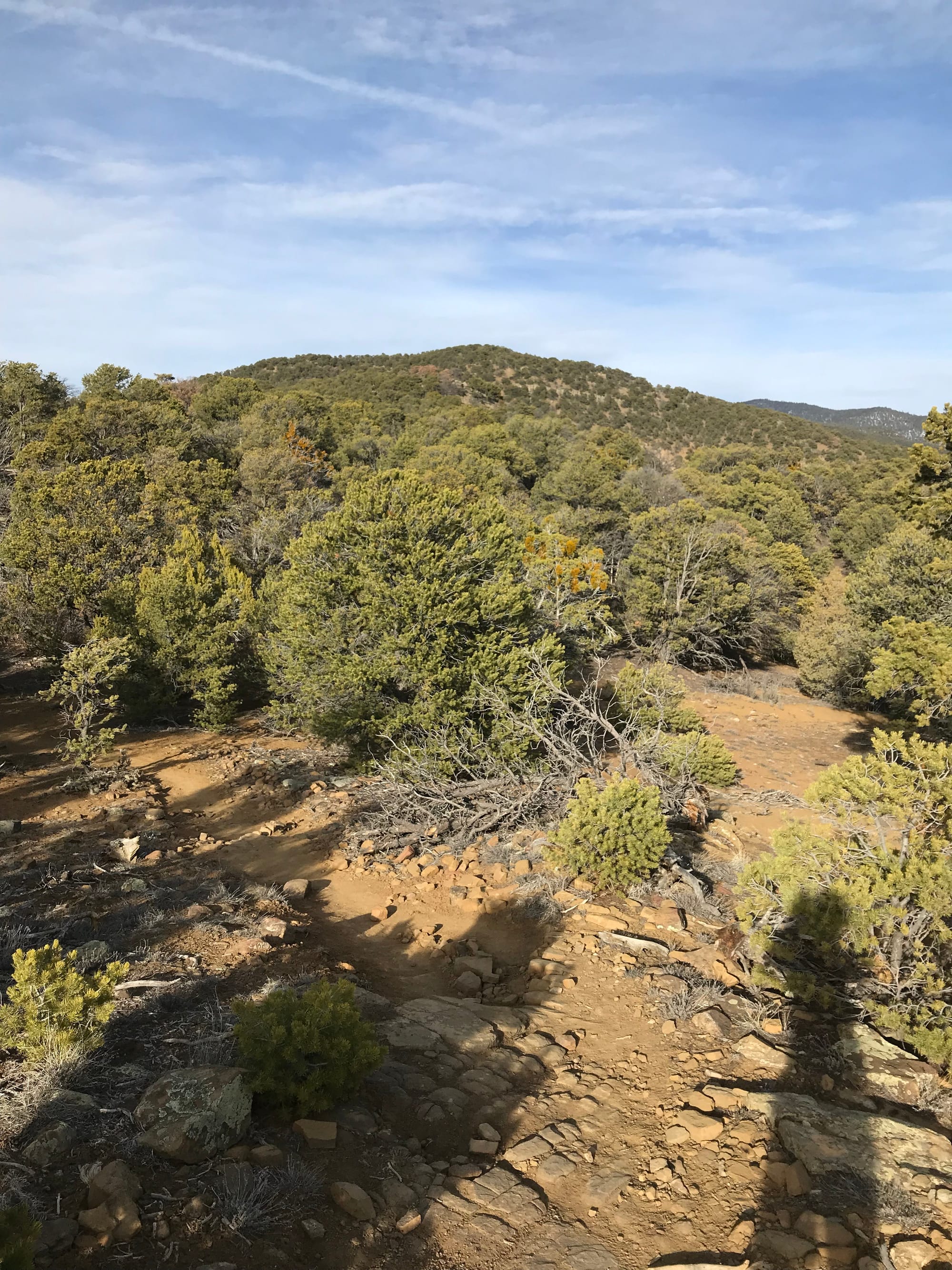 Devisadero Peak
 Taos, New Mexico
 Summit Photo