
Grays Peak (4)/Torreys Peak (6)
Statistics
- Date - 06/27/2010
- Elevation - 14,270'/14,267'
- Route - Northeast Slopes/South Slopes
- Miles - 8.2
- Elevation Gain - 3,600'
- ACME Mapper - Link
- CalTopo - Link
- Partners - Matt Linnemann, Jeff Shafer
Description
Matt and Jeff thought it would be fun to see how fast we could hike Grays Peak and Torreys Peak. Within minutes of each other we climbed Grays Peak via the standard trail in 1:38 and spent five minutes on top. We reached Torreys Peak in 2:09 and spent 20 minutes on that summit. We got back to the trailhead in 3:32.
Photos
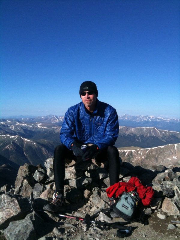 Summit Photo (Grays Peak)
 Summit Photo (Torreys Peak)