
Mount Buckskin
Statistics
- Date - 10/11/2007
- Elevation - 13,865'
- Route - Northeast Slopes
- Miles - 2.6
- Elevation Gain - 1,865'
- ACME Mapper - Link
- CalTopo - Link
- Partners - Not Applicable
Description
I was in the Kite Lake area in 2003 for the Decalibron and again in 2005 for a winter hike of Mount Bross. This time I was returning for Mount Buckskin to the south of Mount Democrat. I simply did the standard route up the northeast slopes from the Kite Lake Trailhead. There is no route-finding as you can pretty much see the summit from Kite Lake. The hike is nothing spectacular, but it did offer some good views of the 14ers to the north. There was nobody else in the area the entire time I was there. It took me an 1 hour and 15 minutes to summit. After 15 to 20 minutes on top, my round trip time was 2 hours and 10 minutes.
Photos
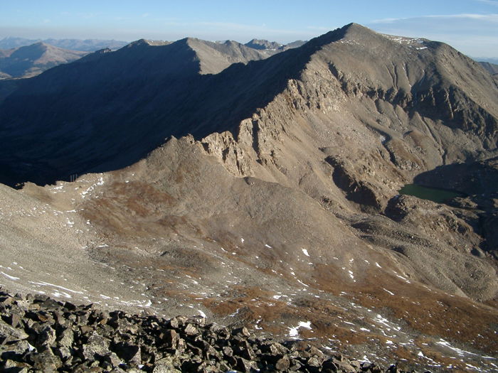 Mount Democrat
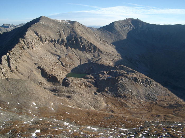 Mount Democrat, Mount Cameron, and Mount Lincoln
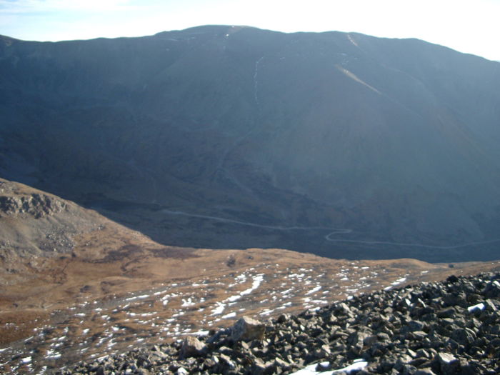 Mount Bross
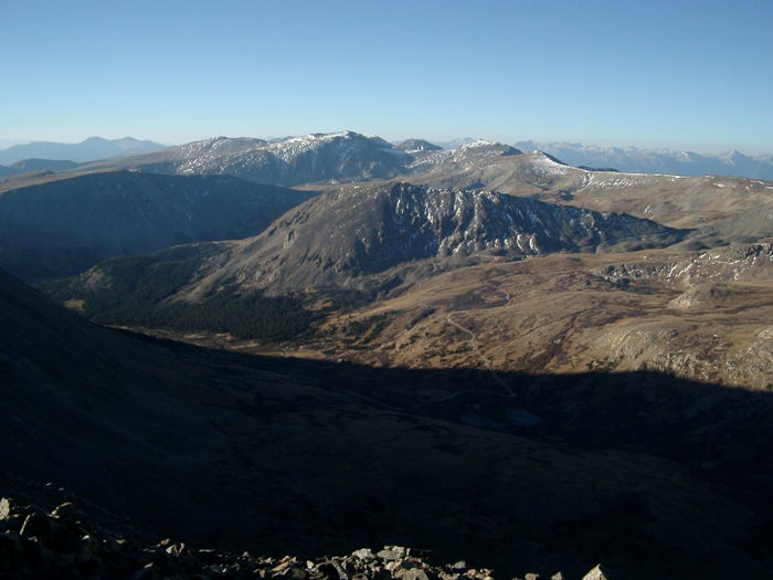 Views
Views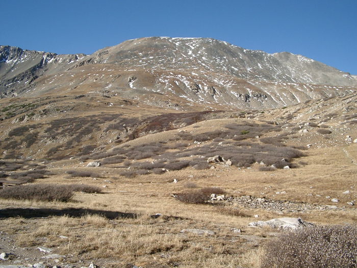 Mount Buckskin