
Grays Peak (2)
Statistics
- Date - 07/04/2004
- Elevation - 14,270'
- Route - North Slopes
- Miles - 8.0
- Elevation Gain - 3,060'
- ACME Mapper - Link
- CalTopo - Link
- Partners - Stuart Glass
Description
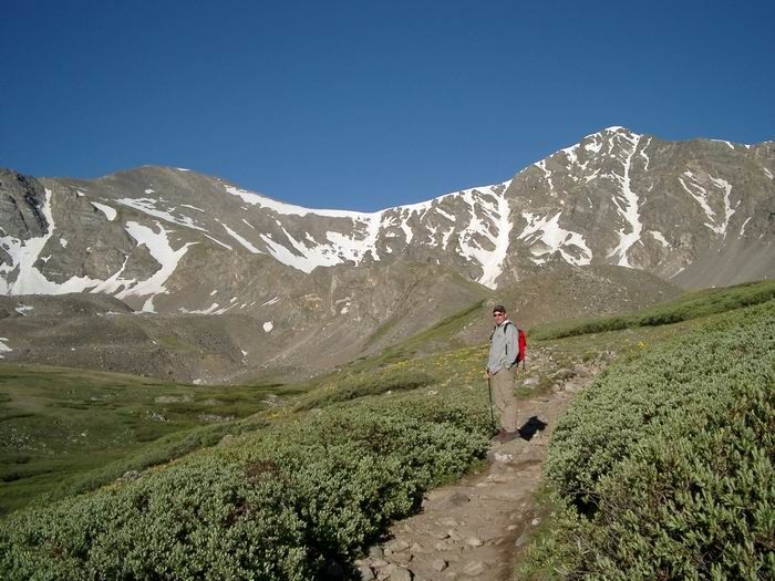
I had family in town for July 4th, and my brother-in-law surprised me by saying he wanted to go hiking. After discussing our options, he decided to attempt a 14er even though he is a flatlander from Nebraska. I considered Mount Bierstadt and Mount Evans, but thought Grays Peak was a better option considering the amount of time we were allotted. We headed out of town at 5:00 and were hiking by 6:15. Stuart wasn't sure what to expect, so I just said we'd just see how he felt as we went along. He did very well to begin and before we knew it, we were at 13,000'. I was pretty confident we could make it considering our progress during the morning. Things slowed a bit, and he even felt a little light headed a couple of times, but we just kept plugging along. By the time we reached 13,900', the frequency of the breaks increased, so I pushed him a bit and informed him of our advancement at every couple of switchbacks.
Only 100' below the summit, I told him we were practically there and he needed to make the final push in 10 minutes if he wanted to do it in three hours. Sure enough, we made it with five minutes to spare. We had a snack, took some photos, and made our way back down passing a train of people along the way. I stopped off at the Rascal on the descent to scramble to the top and peer down into the Lost Rat Couloir to take a look at the route I had done earlier in the year. From this point on, I had to put my running legs on to keep up with Stuart on the way out. He picked up the pace considerably and we made excellent time back to the trailhead. We were back home by 12:00. Not bad for a cowboy who chewed Copenhagen and drank Mountain Dew all the way to the top.
Photos
 Grays Peak and Torreys Peak
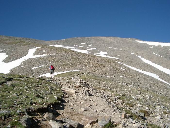 Grays Peak Trail
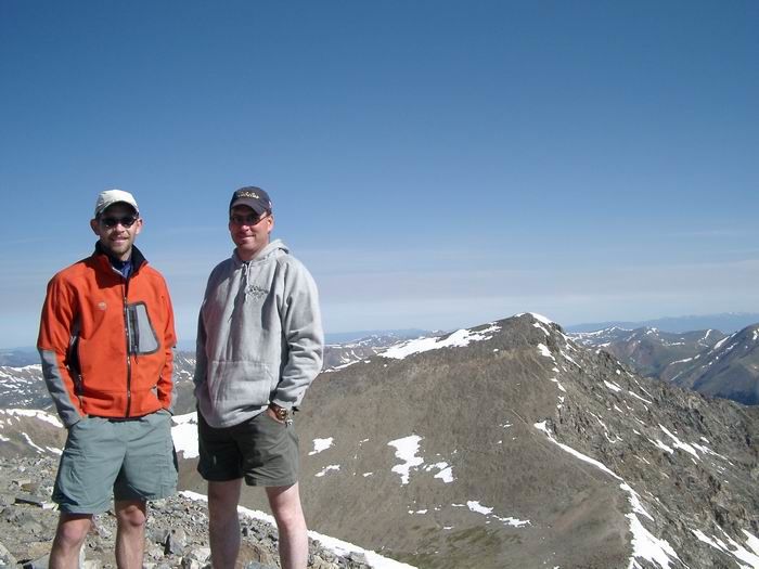 Summit Photo
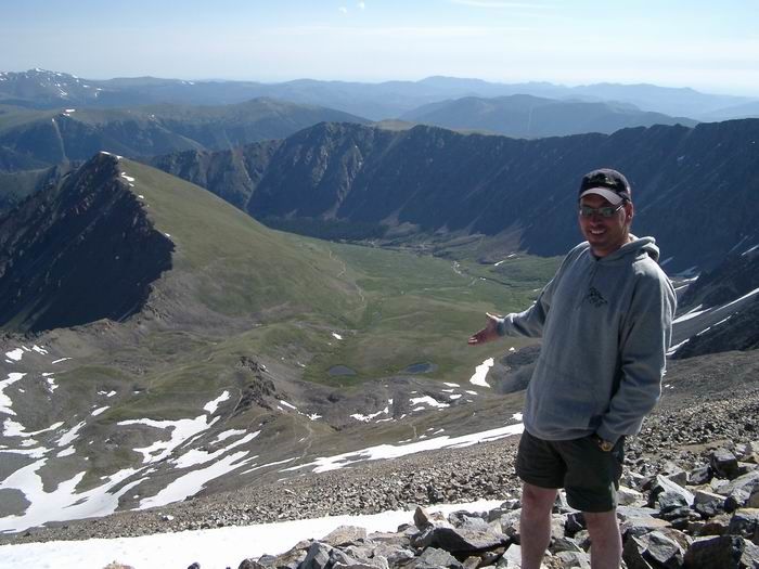 Stuart
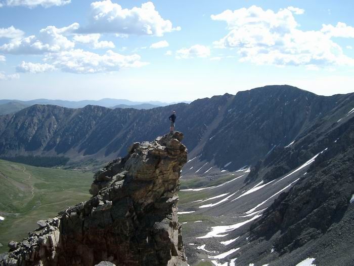 The Rascal