
Mount Breitenbach
Statistics
- Date - 10/14/2002
- Elevation - 12,140'
- Route - South Ridge
- Miles - 7.6
- Elevation Gain - 5,140'
- ACME Mapper - Link
- CalTopo - Link
- Partners - Bruce Eames
Description
There are nine peaks in Idaho over 12,000', and Mount Breitenbach is number five on the 12er list at 12,140'. Six down, three to go.
It bothered me that I didn't make it to the top of Mount Breitenbach a couple of weeks ago. Fortunately the weather was beautiful throughout the beginning of October, and I convinced Bruce to go on another trip to the Lost River Range of eastern Idaho. I woke at 2:00 to get dressed, brush my teeth, say goodbye to my wife, and hit the road to pick up Bruce. We had decided to get up extremely early and drive through the night rather than camp at the trailhead. This would allow us more time at home and not require us to start out cold Monday morning. We left Boise at 2:30, we were at the trailhead by 6:00, and we were hiking by 6:30.
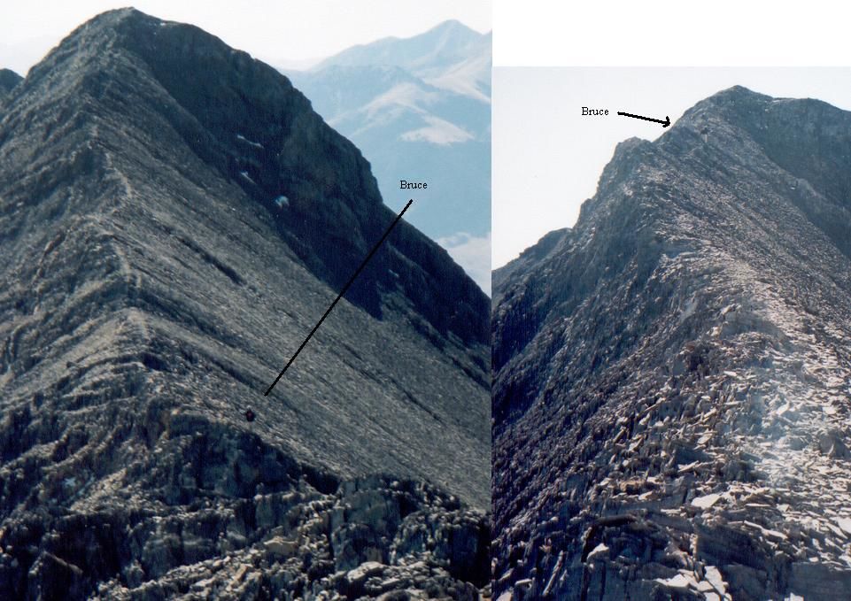
We didn't have to hike with our headlamps quite as much as we did for the Church/Donaldson hike, and the distance in the creek bed was shorter too. The first 1.5 miles up Pete Creek went by relatively fast and by the time we were above the tree line in the scree it was light out. Although I deviated from the following suggestion, I would recommend simply staying in the bottom of the scree gully that will eventually lead you all the way to the saddle at 11,400'. I tried to go up a steep chute to cut some distance, but it only resulted in expending a lot of energy and there was no time or distance savings. Once we gained the saddle, Mount Breitenbach was in sight. At first we thought that a smaller peak on the ridge to Breitenbach was the summit. Due to the perspective, it took us a while to realize that we had to go over what we thought was Mount Breitenbach to reach the actual summit. The next section of the hike from the saddle to what we referred to as the south summit was steep but stable. On top of the south summit, we could see north to Donaldson Peak, Mount Church, Leatherman Peak, and Mount Borah.
From the south summit to Mount Breitenbach was a fun knife edge ridge hike with a few ups and downs. We spent approximately 20 minutes on top at 12,140' signing the summit register and taking photos. It took 6 hours to climb the mountain. We returned the same route we came in 3.5 hours. With the exception of the scramble to the south summit and also the ridge to the summit, I would classify this a class two hike. The rock is solid throughout the hike and in no way compares to the rotten talus on sections of Donaldson Peak and Mount Church.
Photos
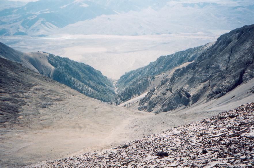
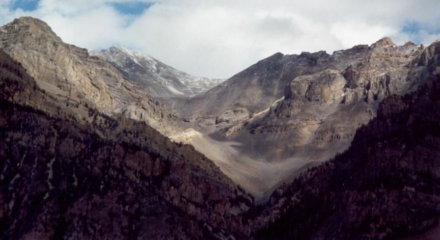 Pete Creek Canyon
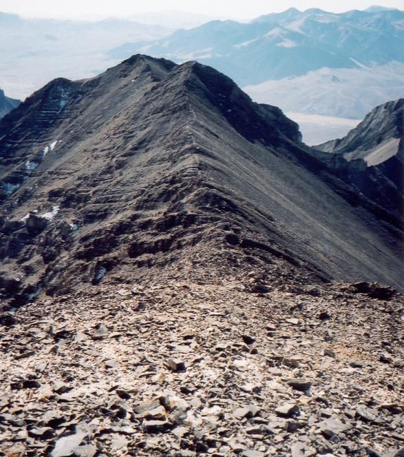
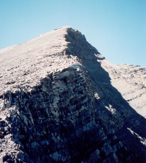
 Mount Breitenbach Summit Ridge
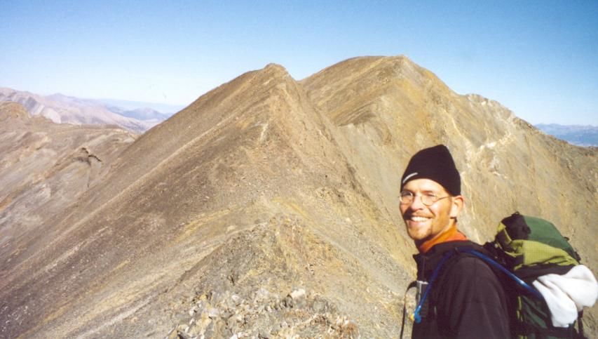
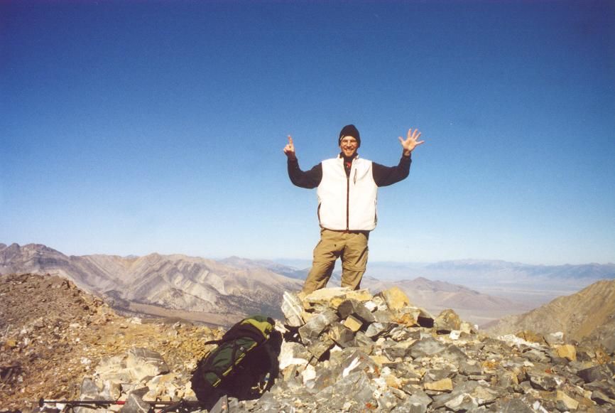
 Bruce on the summit.
 Views towards Lost River Peak.
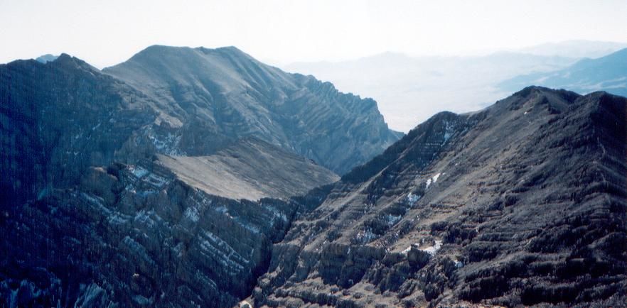
 The summit ridge to Mount Breitenbach.
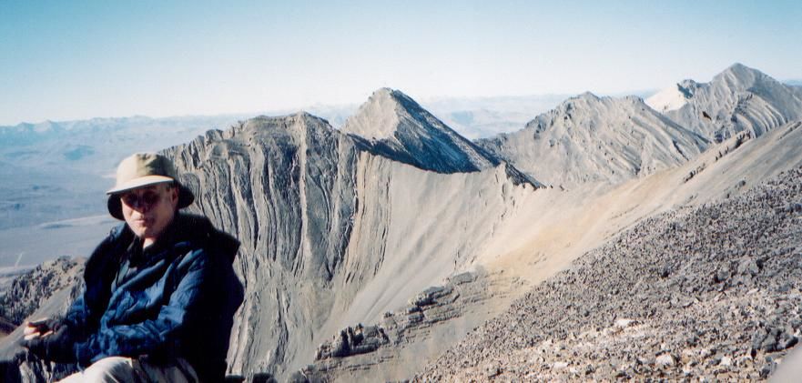
 Summit Photo
 Summit Hiking
 Route
Route
 Pete Creek Canyon