
South Boulder Peak
Statistics
- Date - 03/23/2025
- Elevation - 8,549'
- Route - Shadow Canyon Trail
- Miles - 7.4
- Elevation Gain - 2,984'
- ACME Mapper - Link
- CalTopo - Link
- Partners - Not Applicable
Description
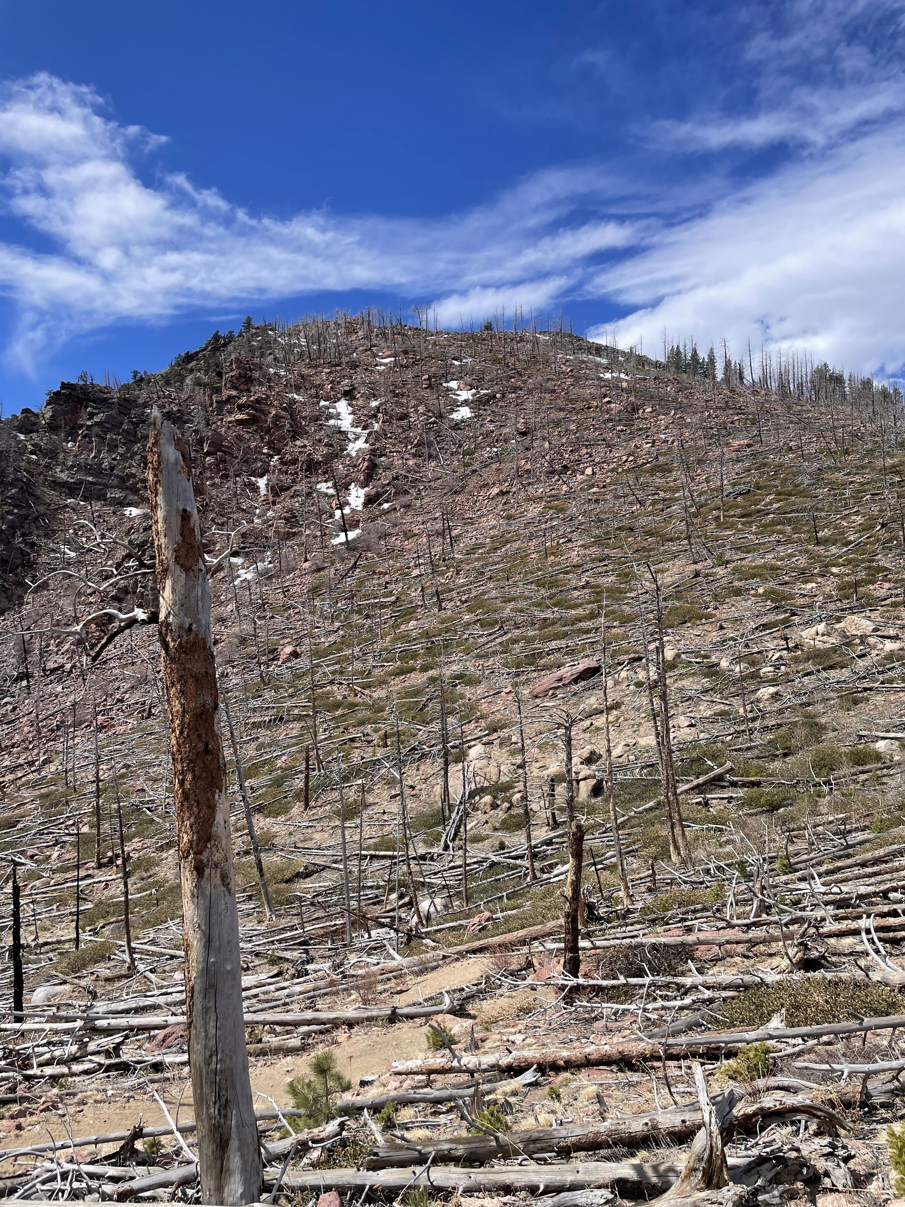
I was unable to find an ice climbing partner, so I simply went for a hike this weekend. I started from the South Mesa Trailhead and then connected to the Shadow Canyon Trail in order to reach the summit of South Boulder Peak. Approximately half of the trail was like a gravel road and relatively flat. At around 7,000' the trail changes to steep hiking in the bottom of shadow canyon. There was a fair amount of traffic throughout the morning and lots of dogs. It took me two hours to summit. After 10 minutes on the top of South Boulder Peak, it took me one hour and 15 minutes to return to the trailhead.
Photos
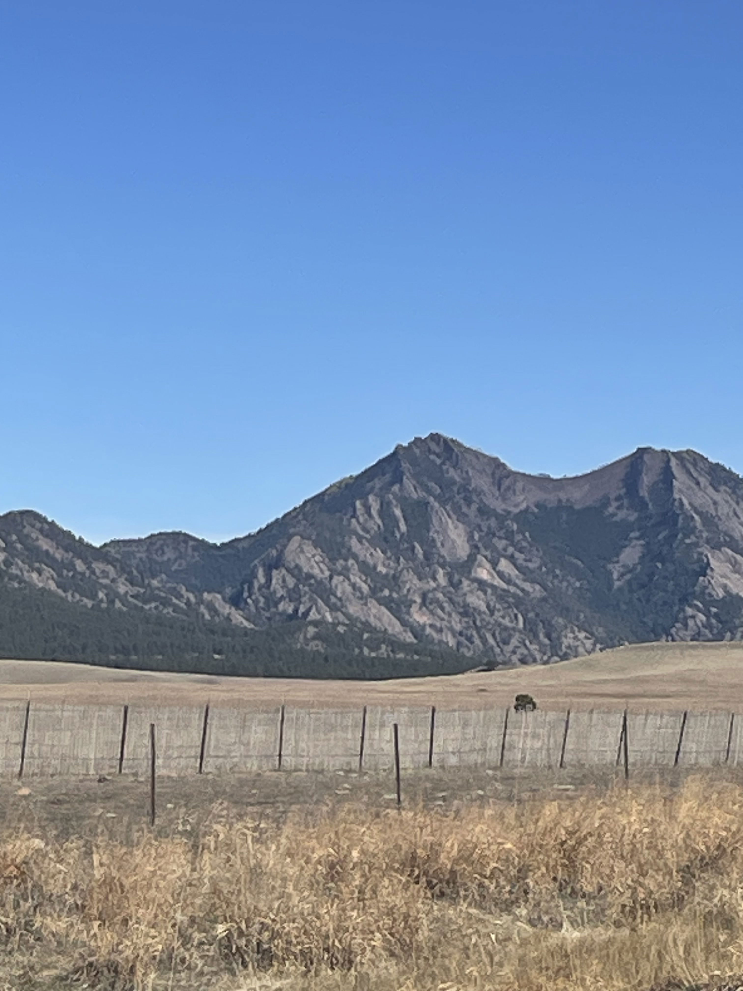
South Boulder Peak from the drive on Colorado Highway 93.
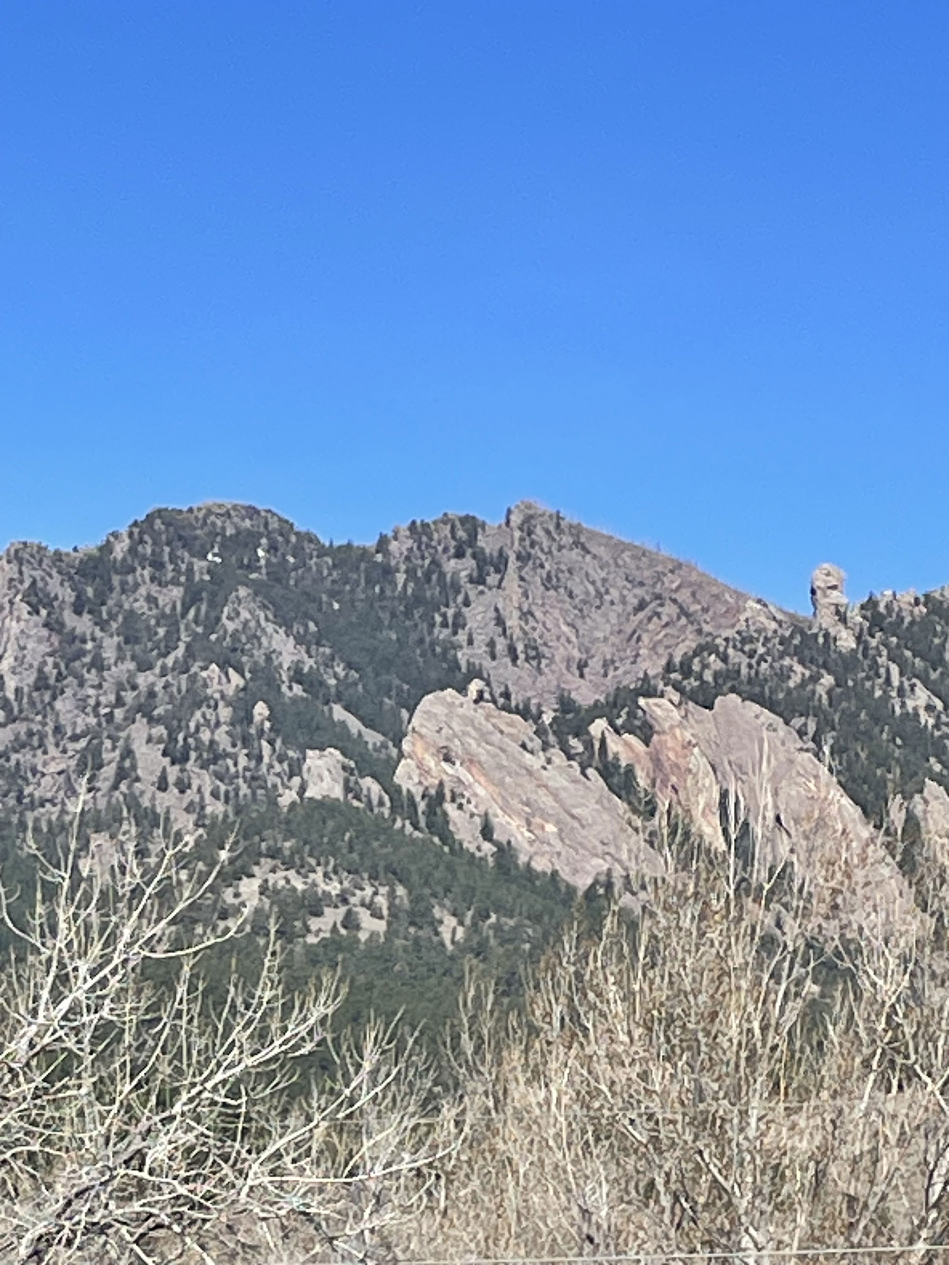
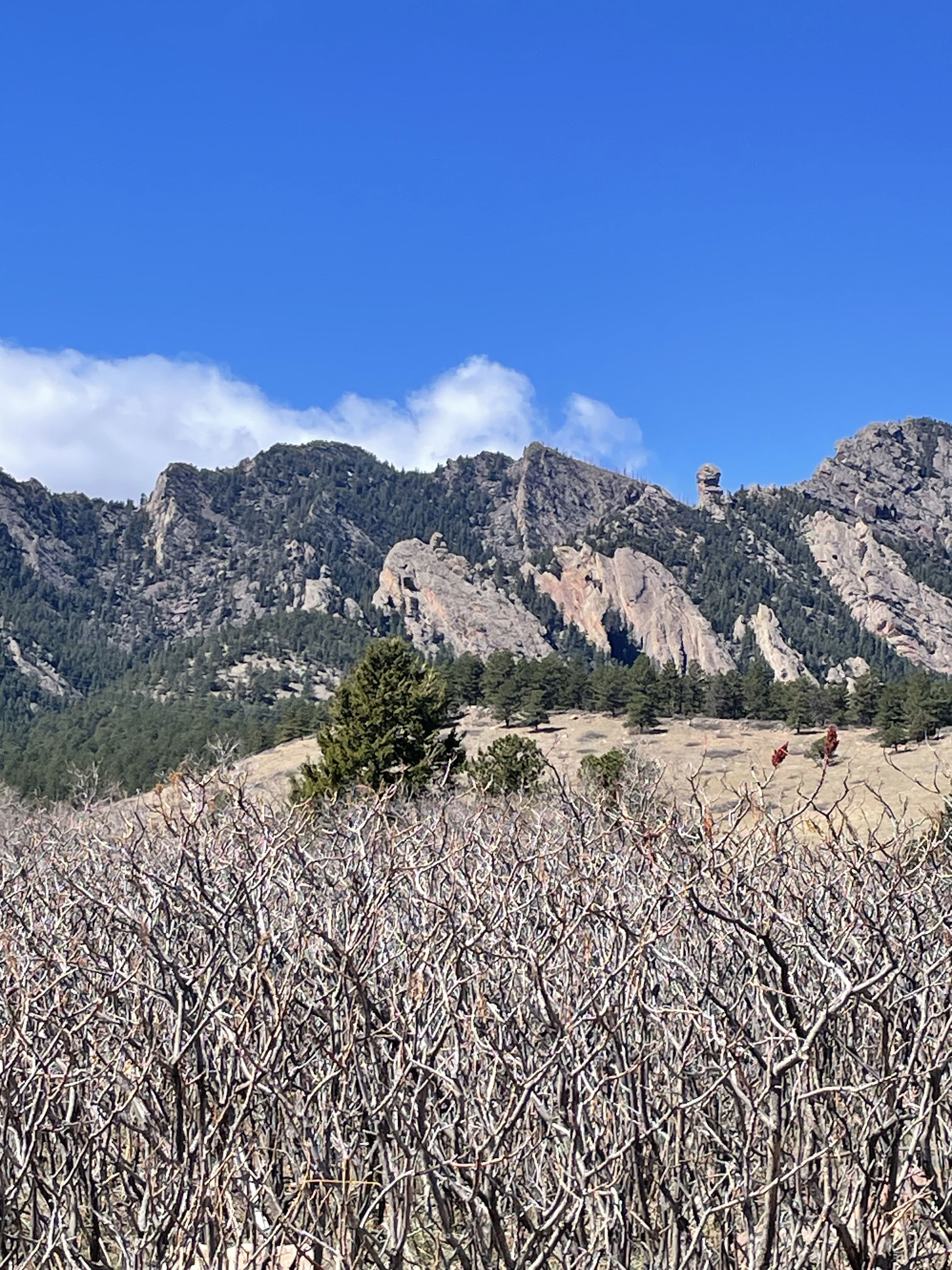
South Boulder Peak from the parking lot with Devil's Thumb on the right.
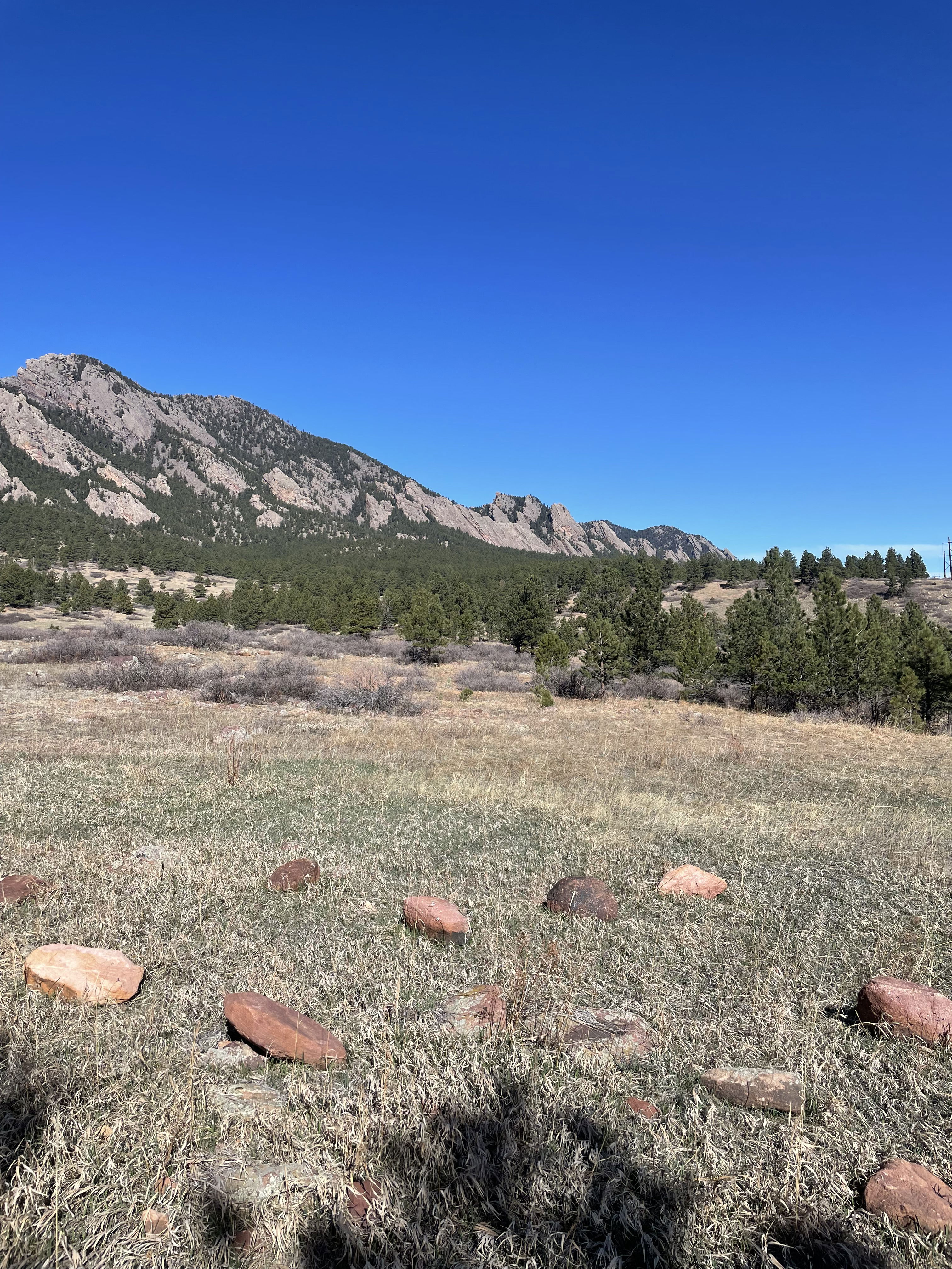
The Flatirons to the north.
South Boulder Peak from its saddle with Bear Peak.
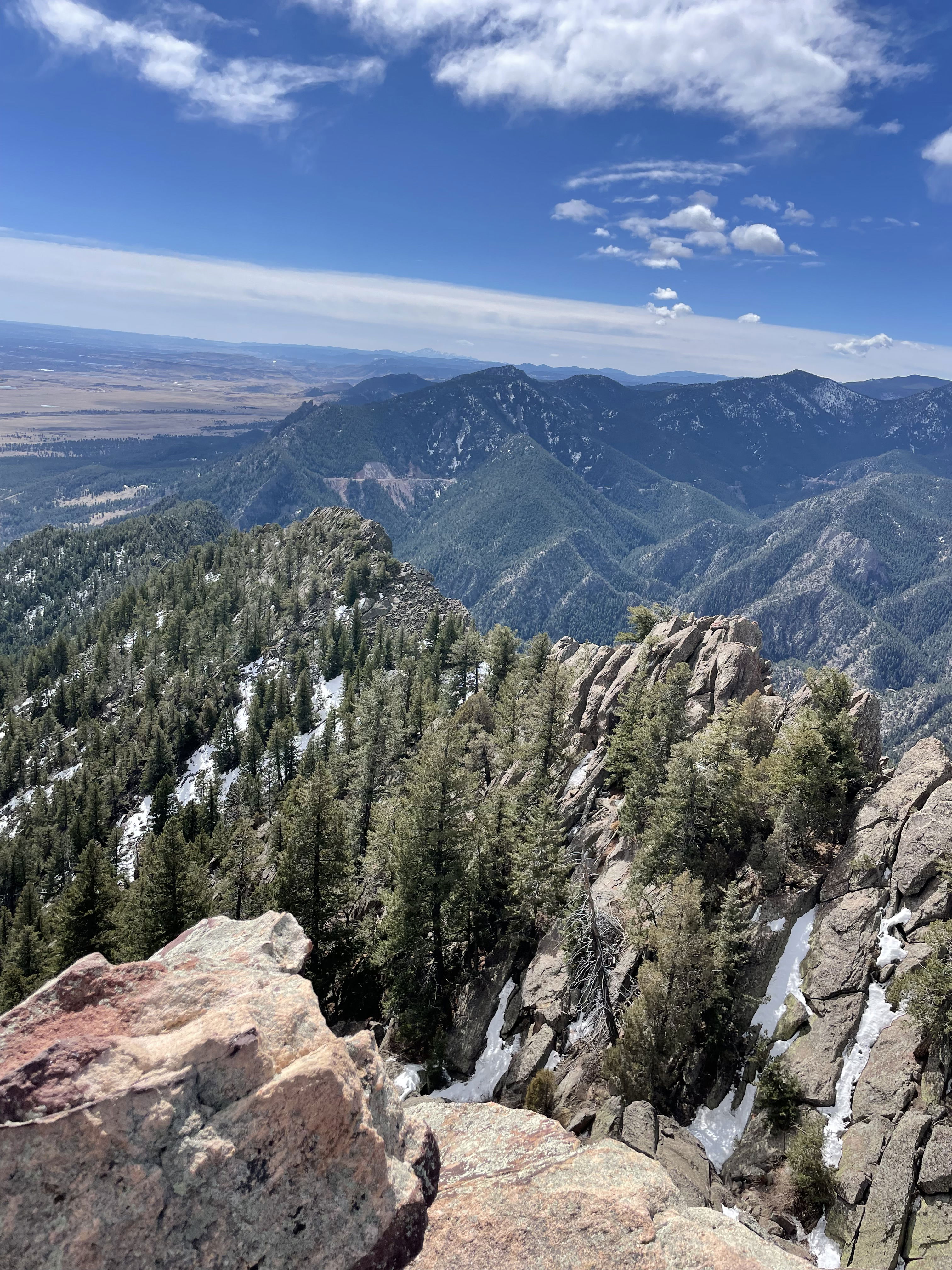
Views to the south from South Boulder Peak.
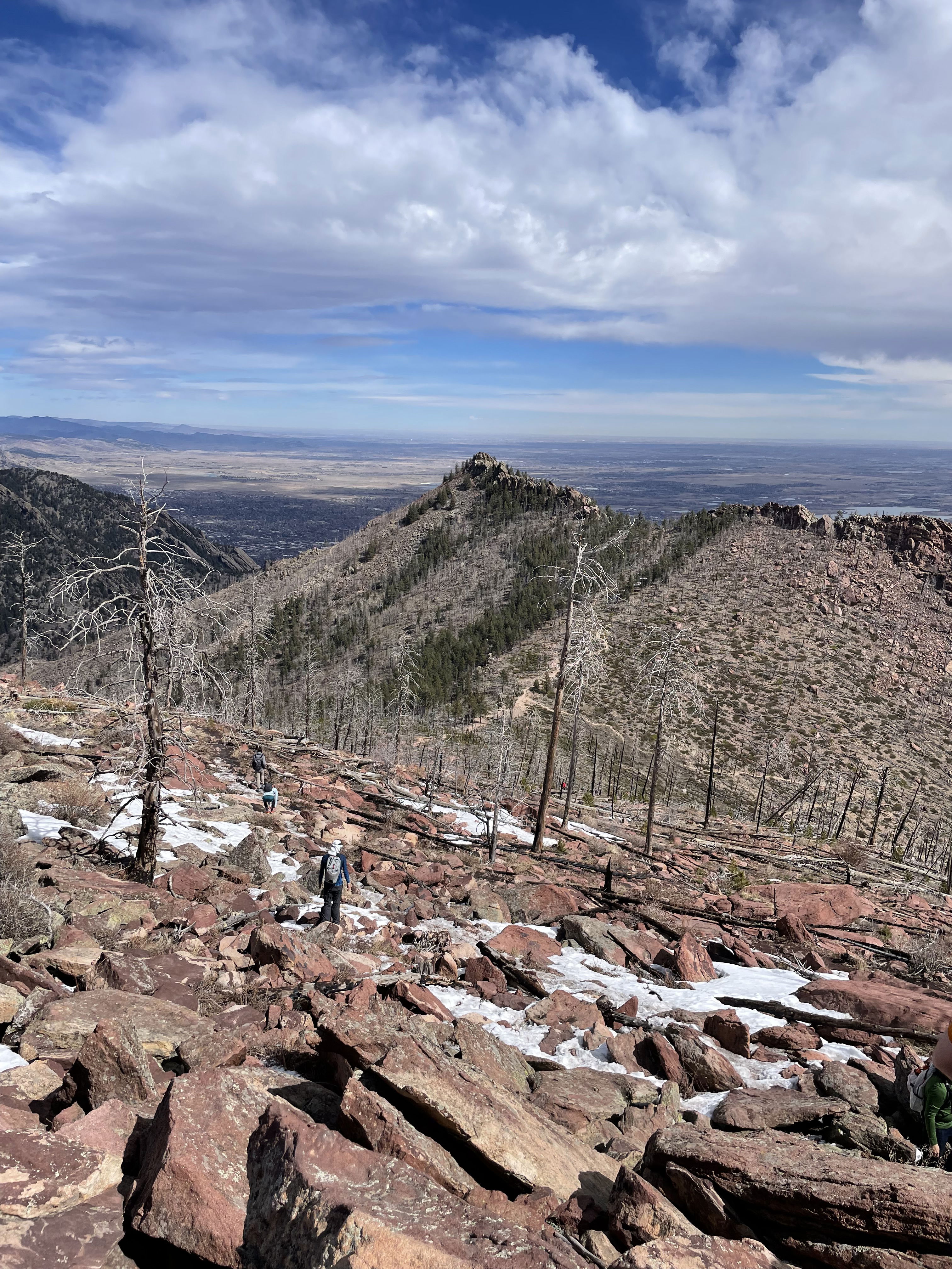
Bear Peak to the north of South Boulder Peak.
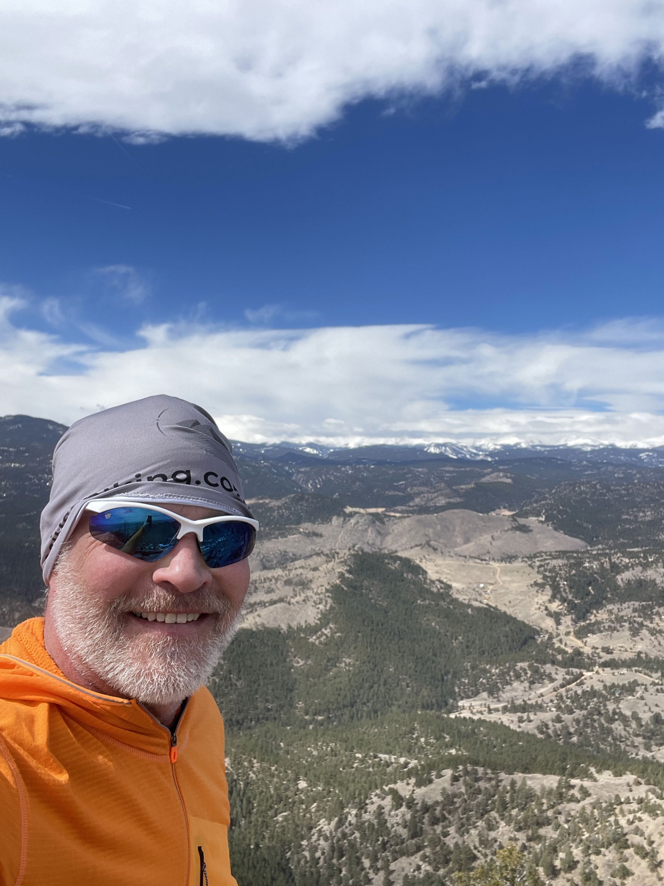
Summit Photo
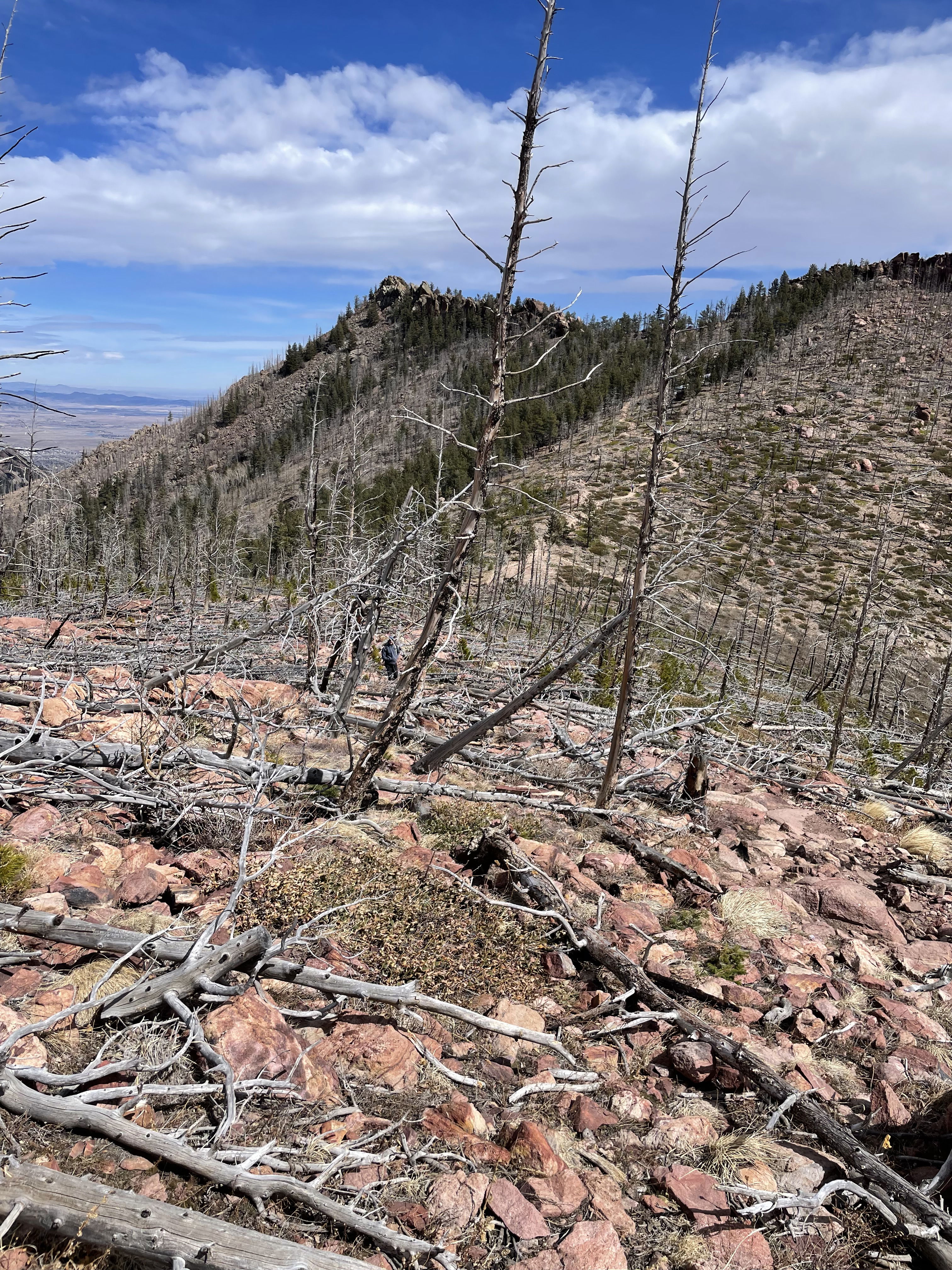
Bear Peak from its saddle with South Boulder Peak.
South Boulder Peak from near the South Mesa Trail Trailhead.