
Mount Mamma
Statistics
- Date - 10/03/2025
- Elevation - 13,646'
- Route - East Ridge
- Miles - 7.5
- Elevation Gain - 2,946'
- ACME Mapper - Link
- CalTopo - Link
- Partners - Not Applicable
Description
I drove up the Mount Antero Road on Thursday evening to camp at the base of Baldwin Gulch and hike Mount Mamma the following morning. I tried to drive up to Baldwin Lake earlier in the year and got turned around shortly up the road in my FJ Cruiser. As a result, I knew I was going to have to hike the road all the way to the Baldwin Mine before scrambling to the summit of Mount Mamma.
I was hiking at 6:05 am, but things started off pretty slow due to low blood sugar, poor sleep, and no headlamp. I used my phone light for about 30 minutes before I turned it off and let my eyes adjust to the limited light. Nevertheless, the sun was up shortly as I made my way up the road. In reality most of the road doesn't seem to difficult, but there was a challenging section every mile or so that would have kept things interesting. The statistics aren't really too difficult, so hiking from 10,800' wasn't a big deal.
The class 2 hiking from the mine to the summit is on solid rock with no route-finding challenges. You simply go up and angle left at any point. It got a bit windy on the ridge and summit, which did have a register, but no pen or pencil. Additionally, I've determined Mount Mamma is incorrectly labeled on the forest service map as the lower peak farther to the north.
I spent 25 minutes on the summit and returned to my camp by 11:30 am for a 5 hour and 25-minute car-to-car day. I purchased a new vehicle a few months ago and decided to drive it on its maiden voyage up the Mount Antero Road to 13,000'. I've included a few photos of drive.
Photos
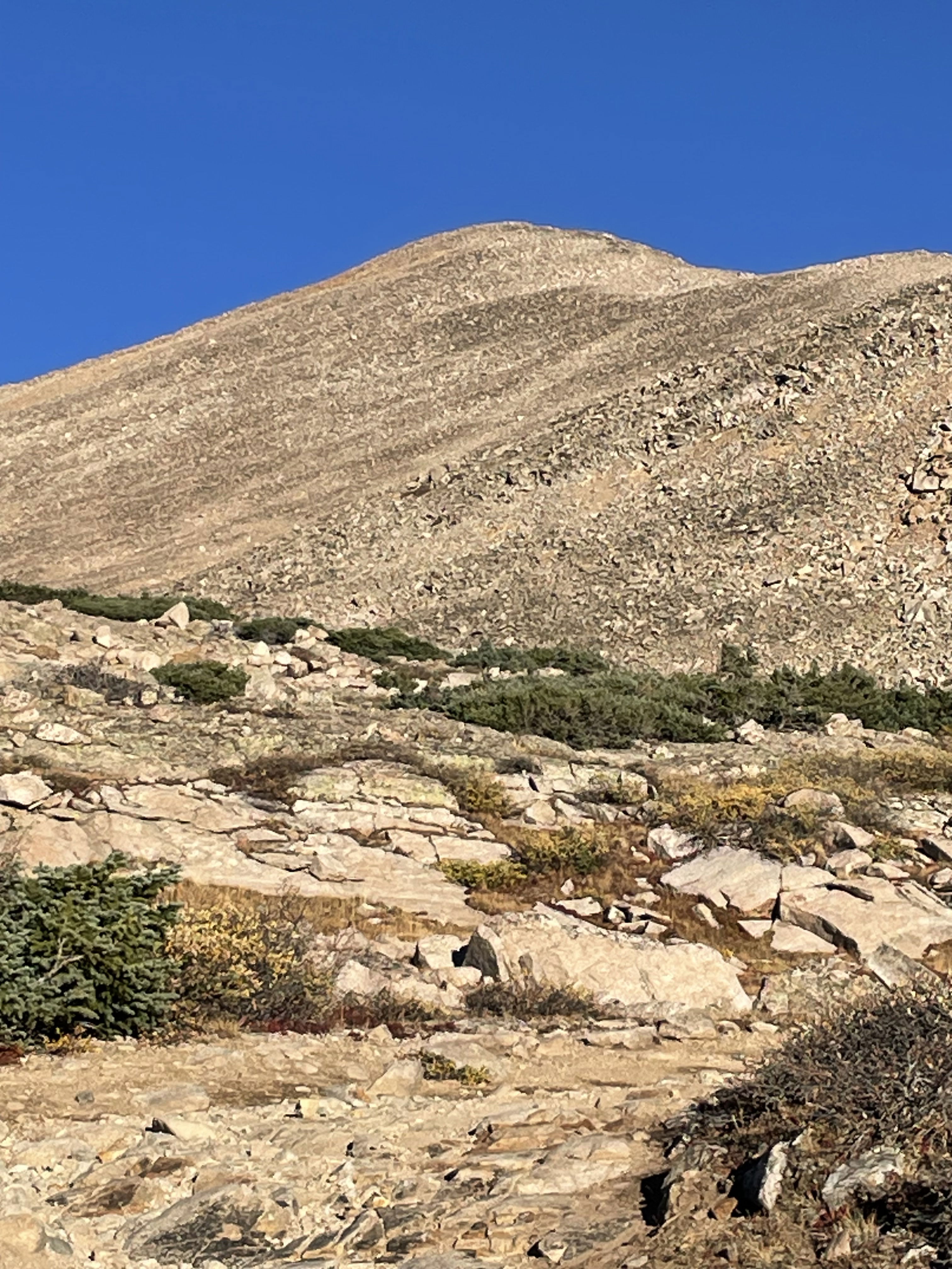
My first look at Mount Mamma from just above Baldwin Lake.
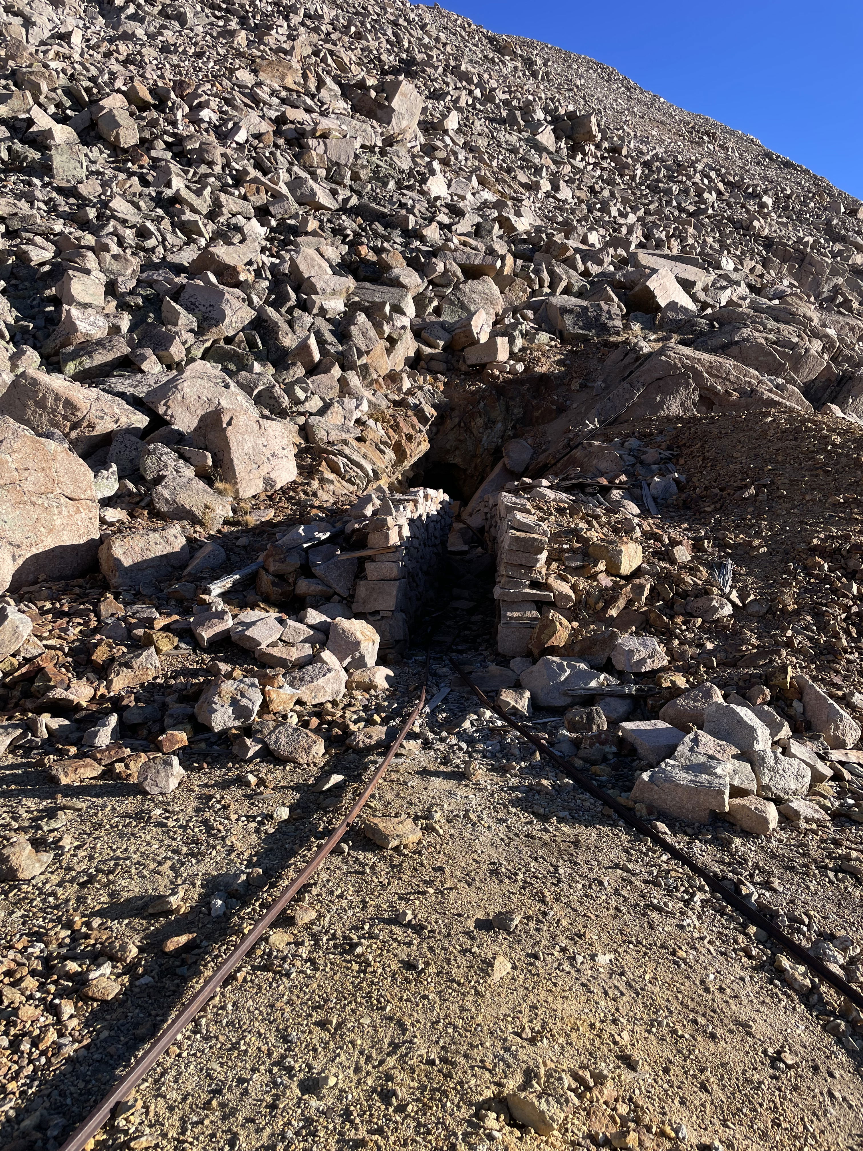
Balwin Mine
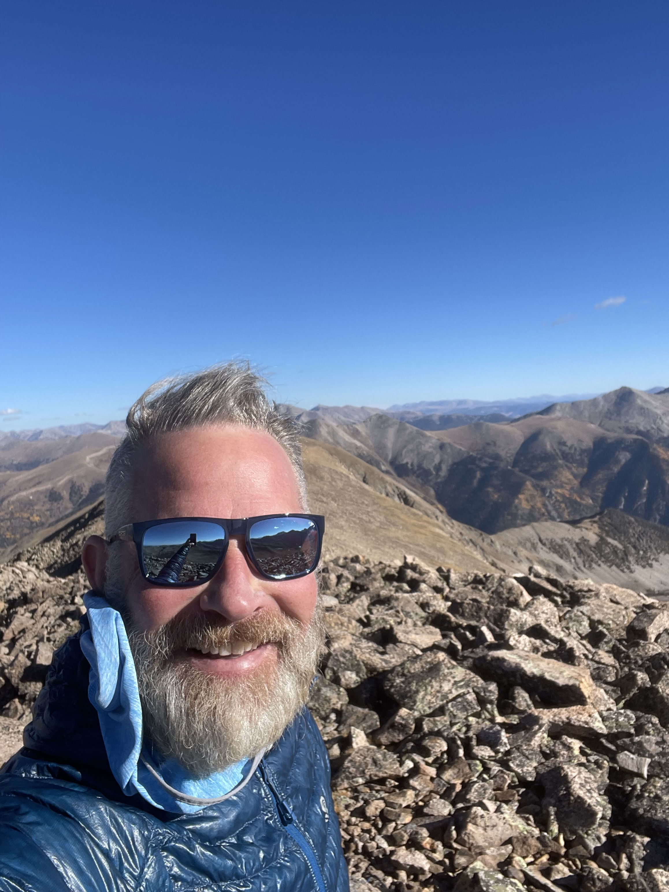
Summit Photo
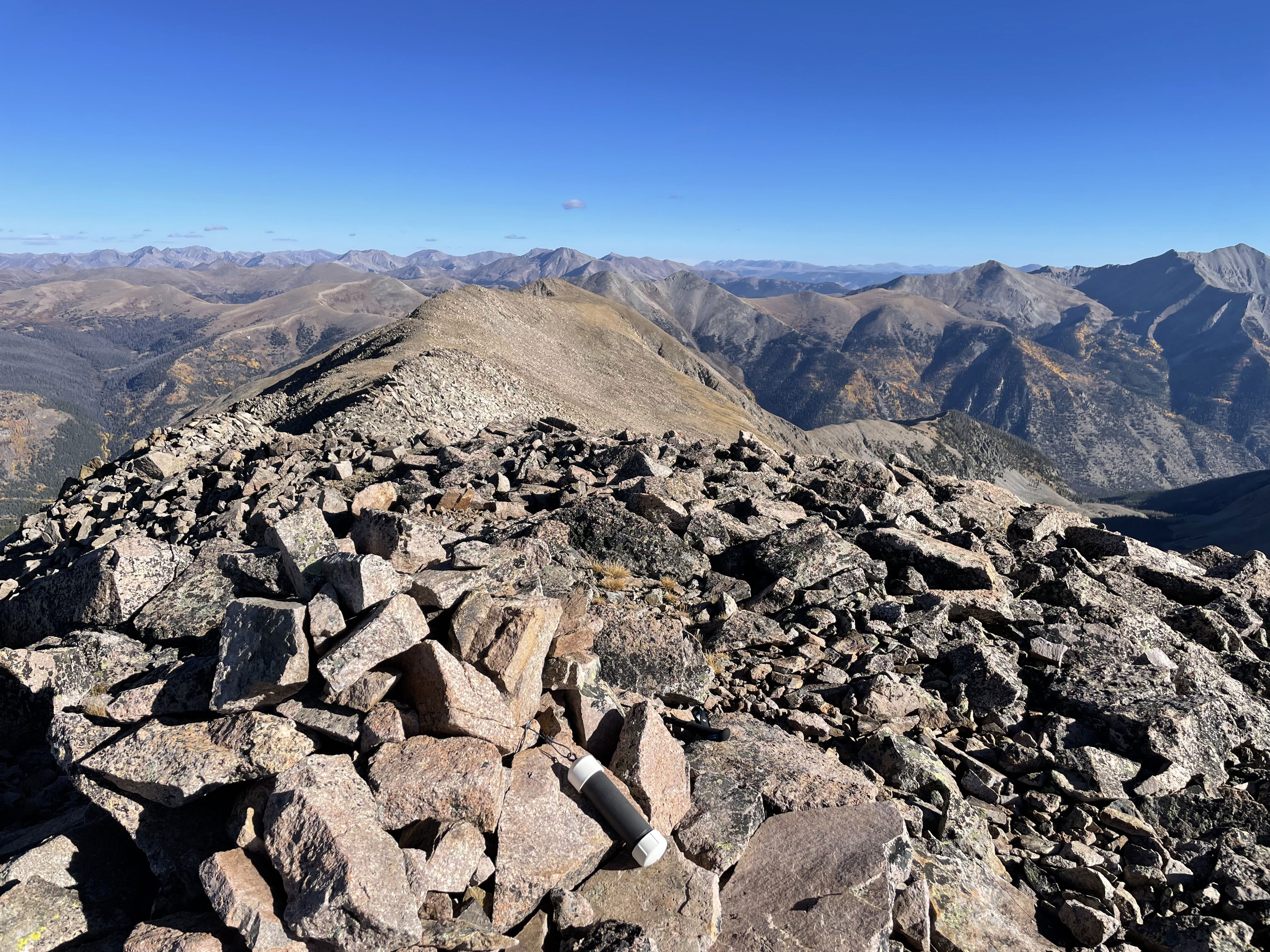
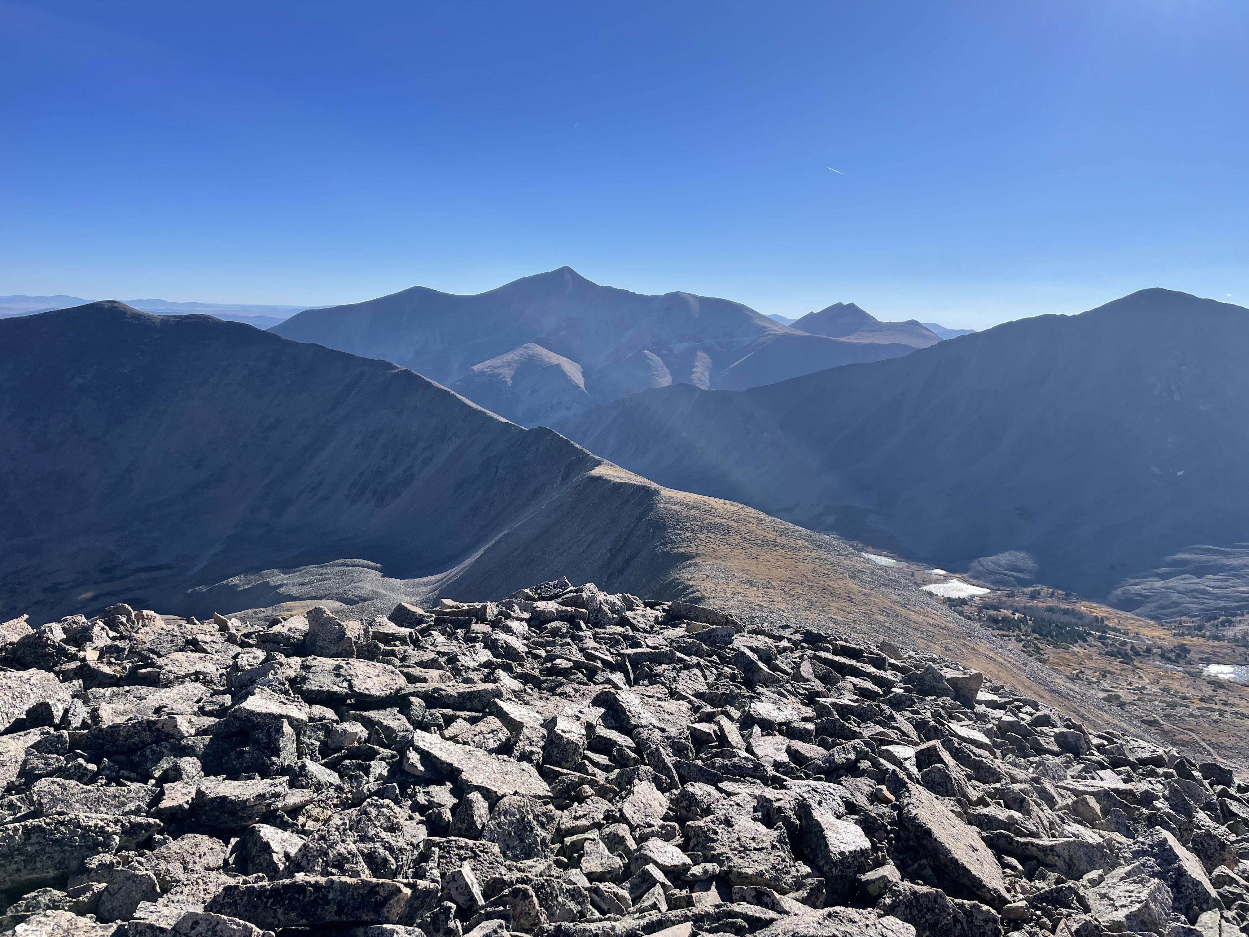
Views to the north from Mount Mamma.
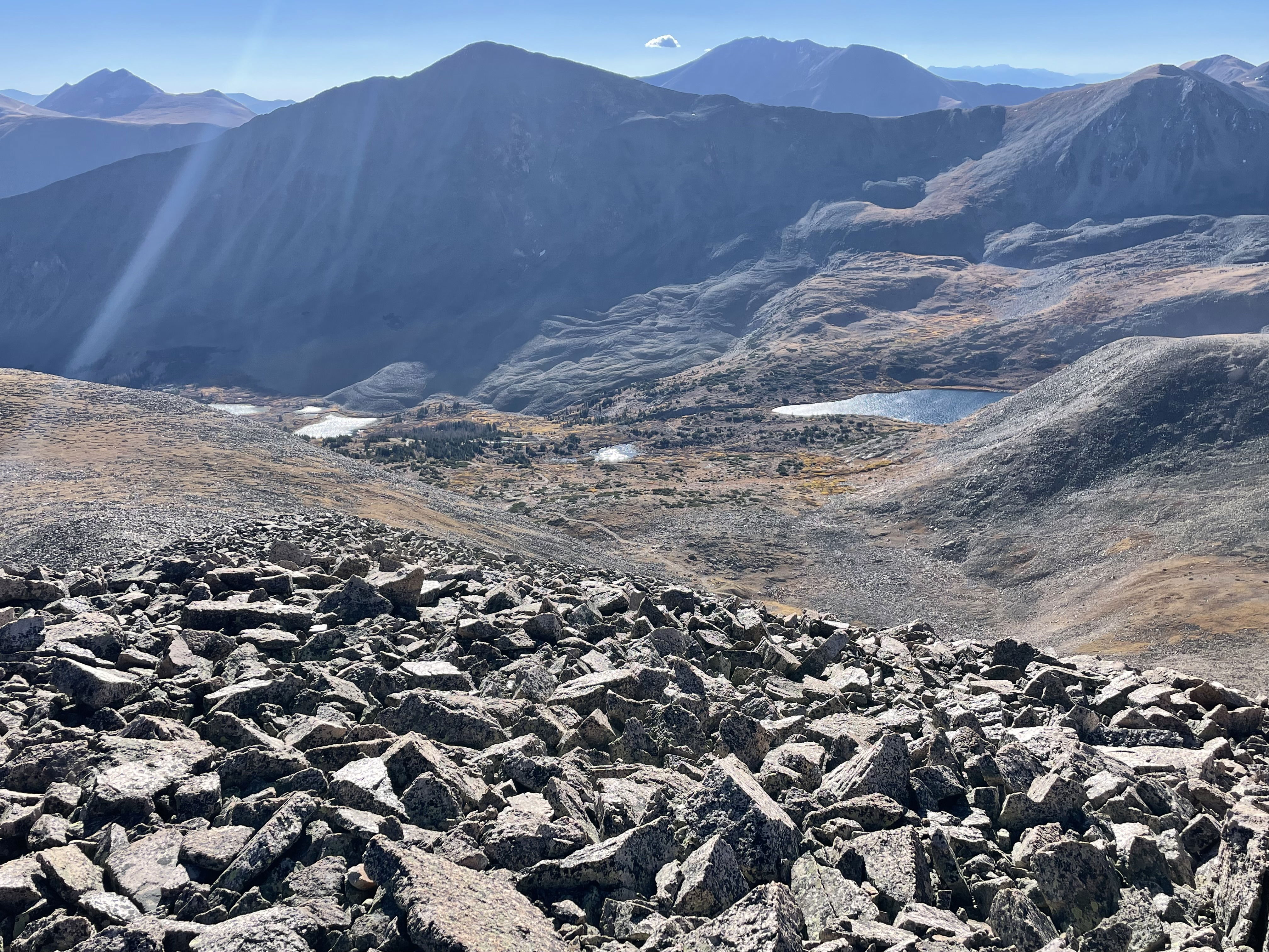
Views to the east of Boulder Mountain and Mount Antero.
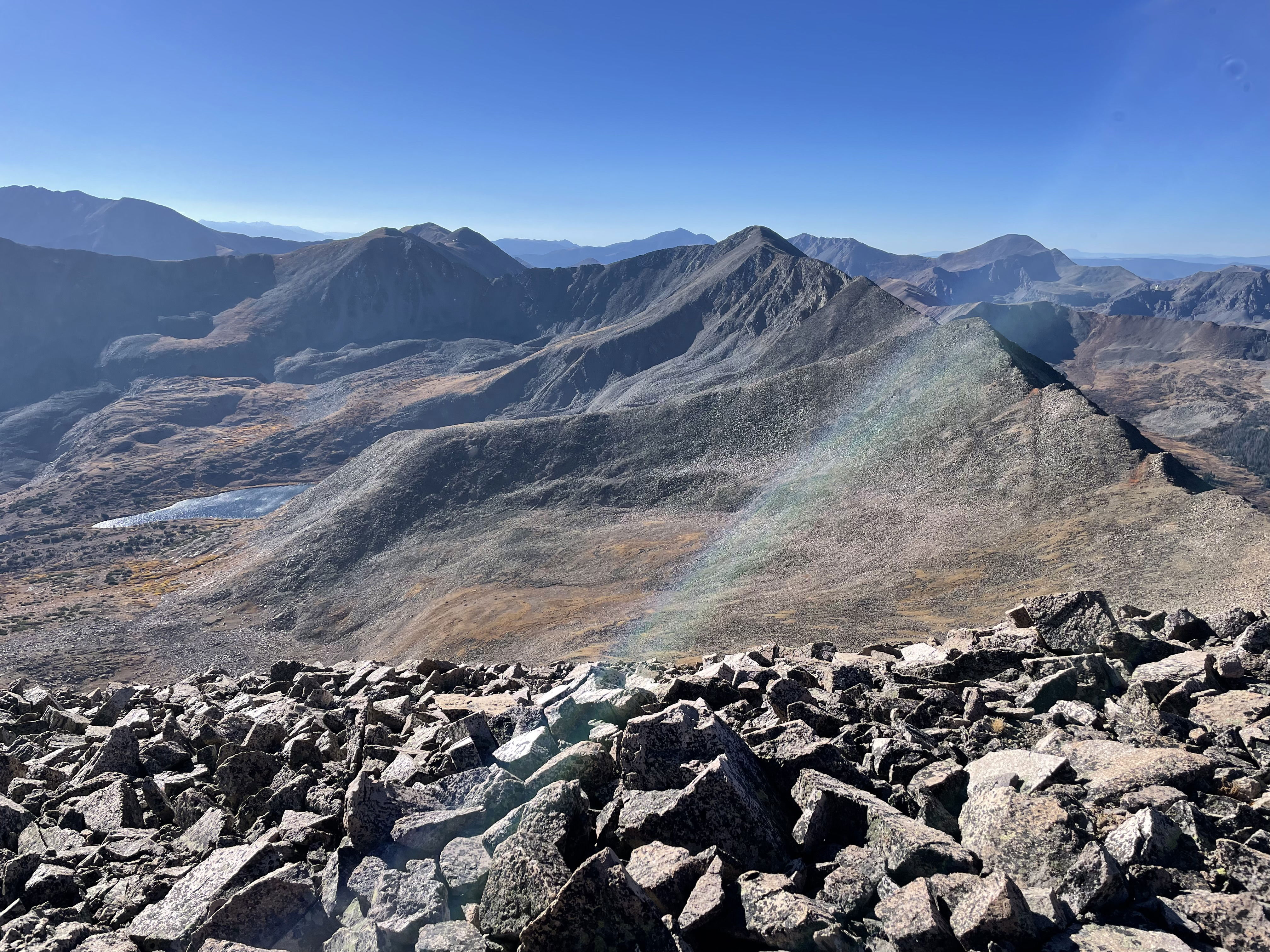
Views to the south of Grizzly, Cyclone, and Carbonate.
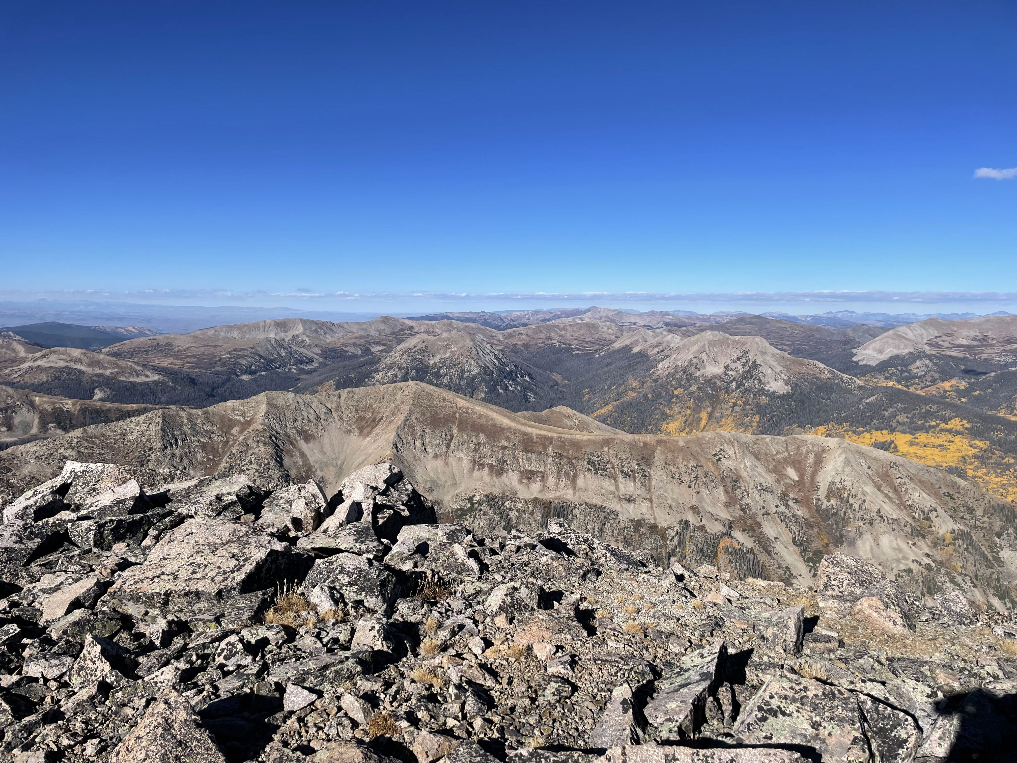
Views to the west.
Baldwin Lake
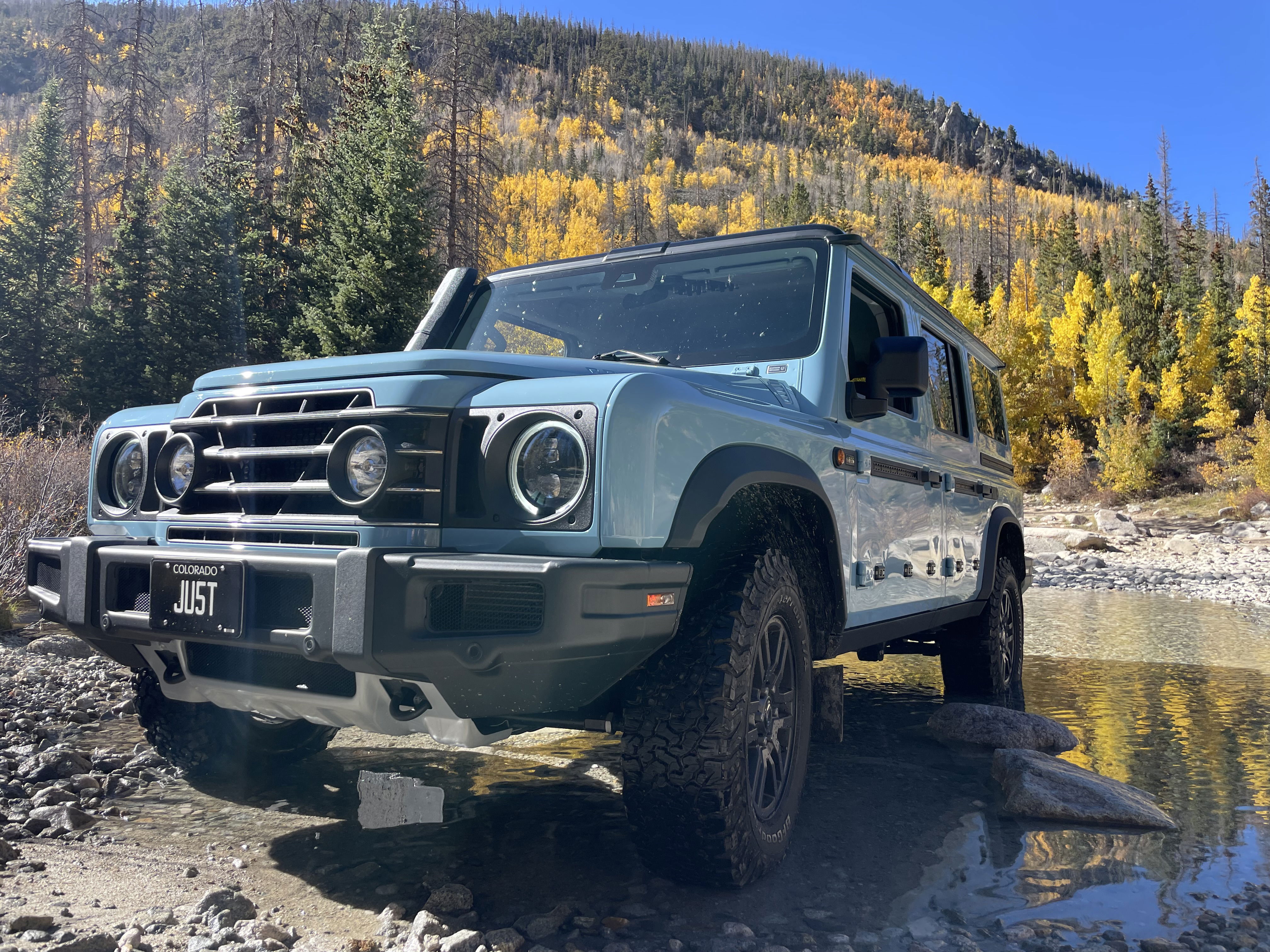
Leaf Peeping
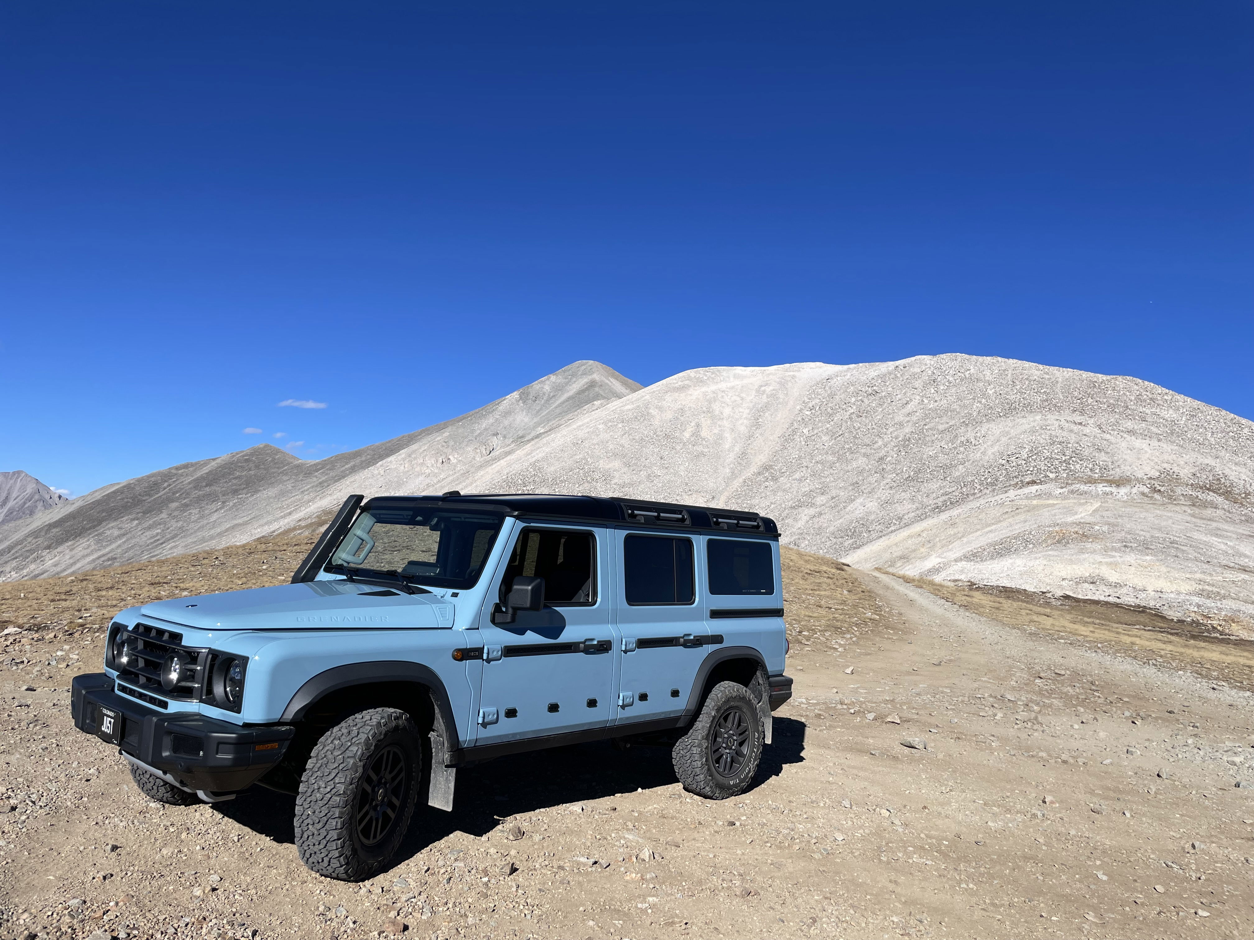
Mount Antero
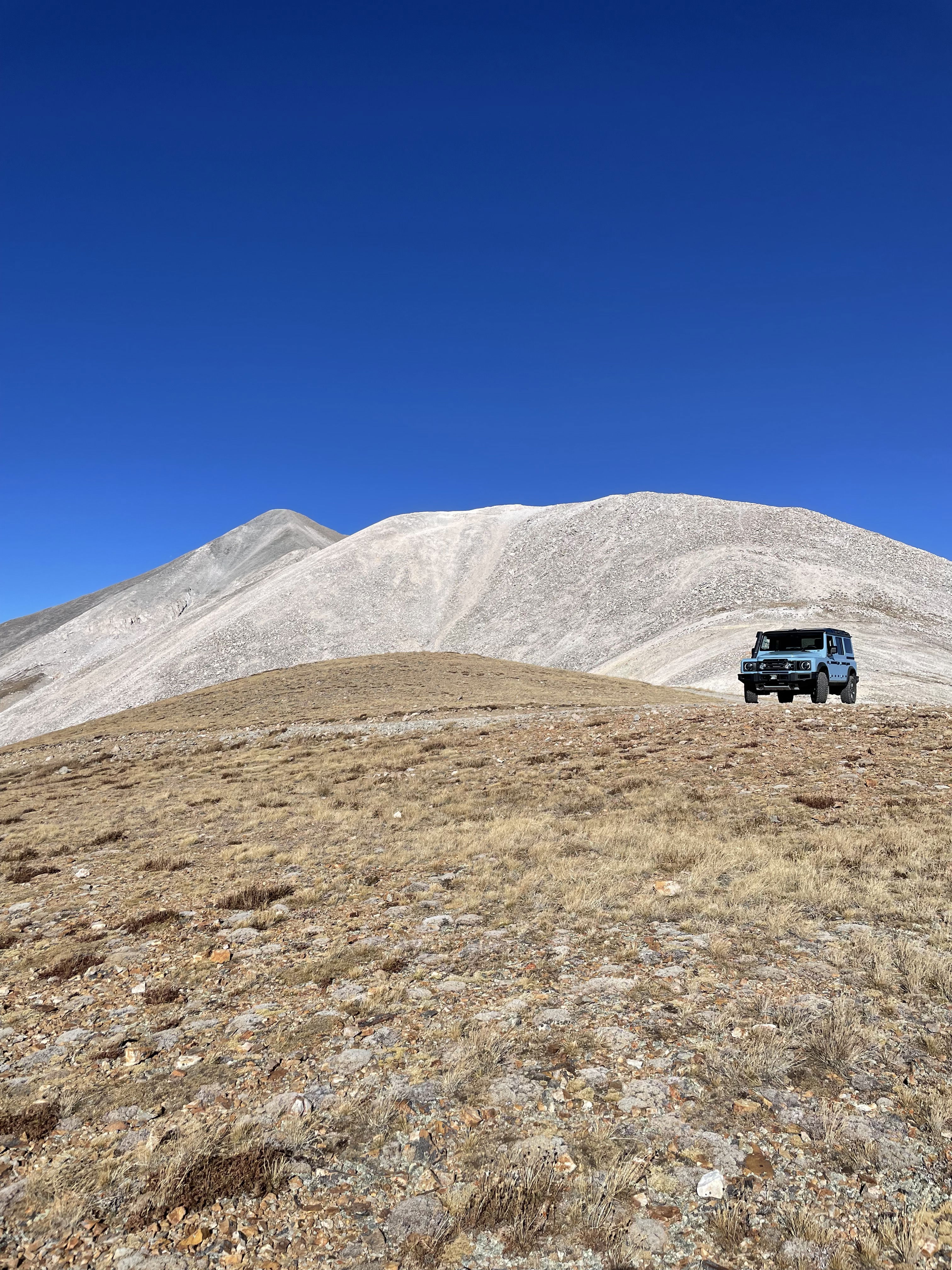
Mount Antero
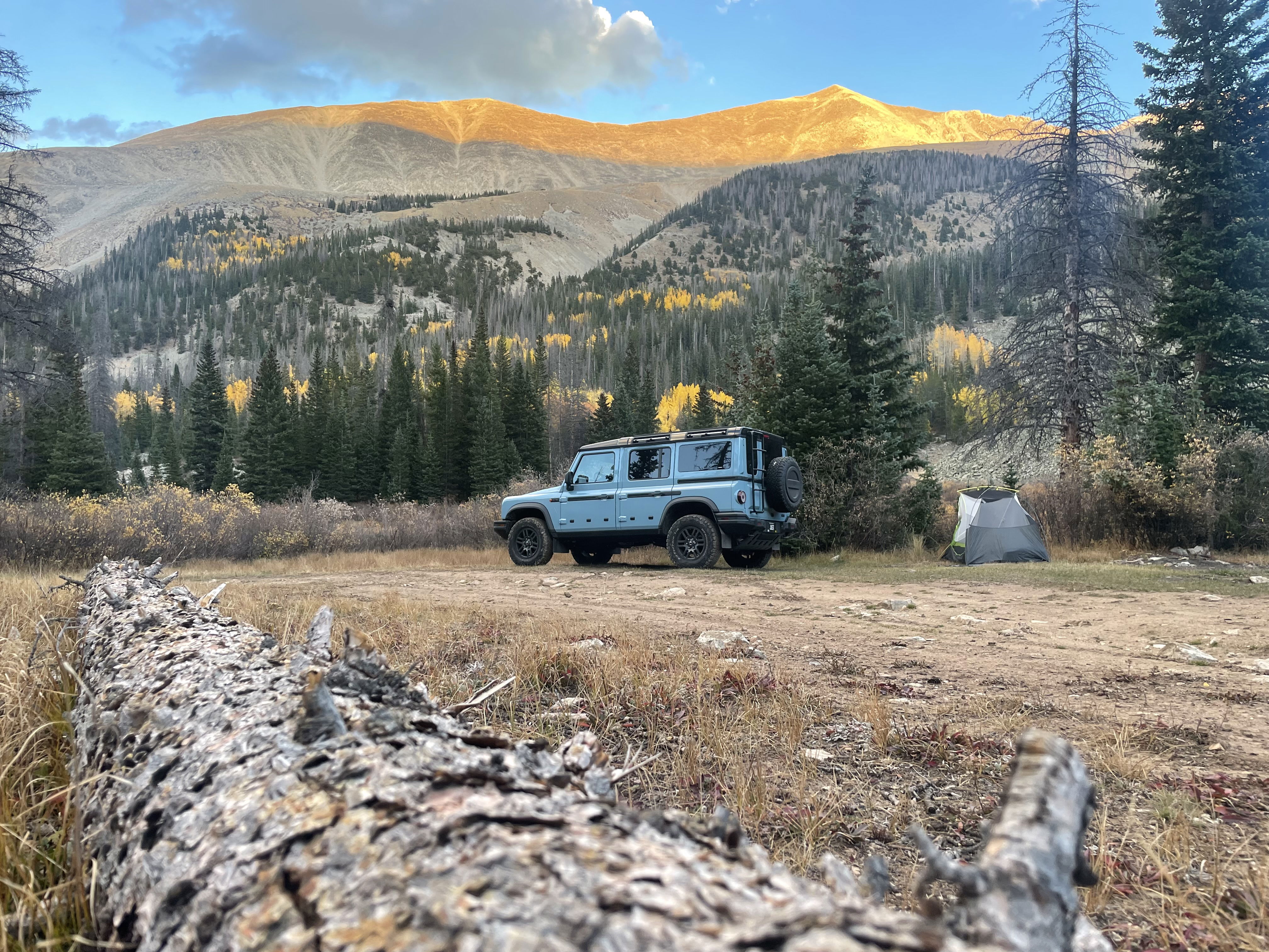
Camping