
Mays Peak
Statistics
- Date - 05/20/2025
- Elevation - 8,283'
- Route - Mays Peak Trail
- Miles - 2.5
- Elevation Gain - 763'
- ACME Mapper - Link
- CalTopo - Link
- Partners - Not Applicable
Description
I was working in Colorado Springs, Colorado, and drove to North Cheyenne Canyon to hike Mays Peak. It was a quick trip, but it was to a named peak so I decided to make a visit. It took me 30 minutes to reach the summit and 25 minutes to return to the trailhead, which is basically at the very end of the paved road in North Cheyenne Canyon.
Photos
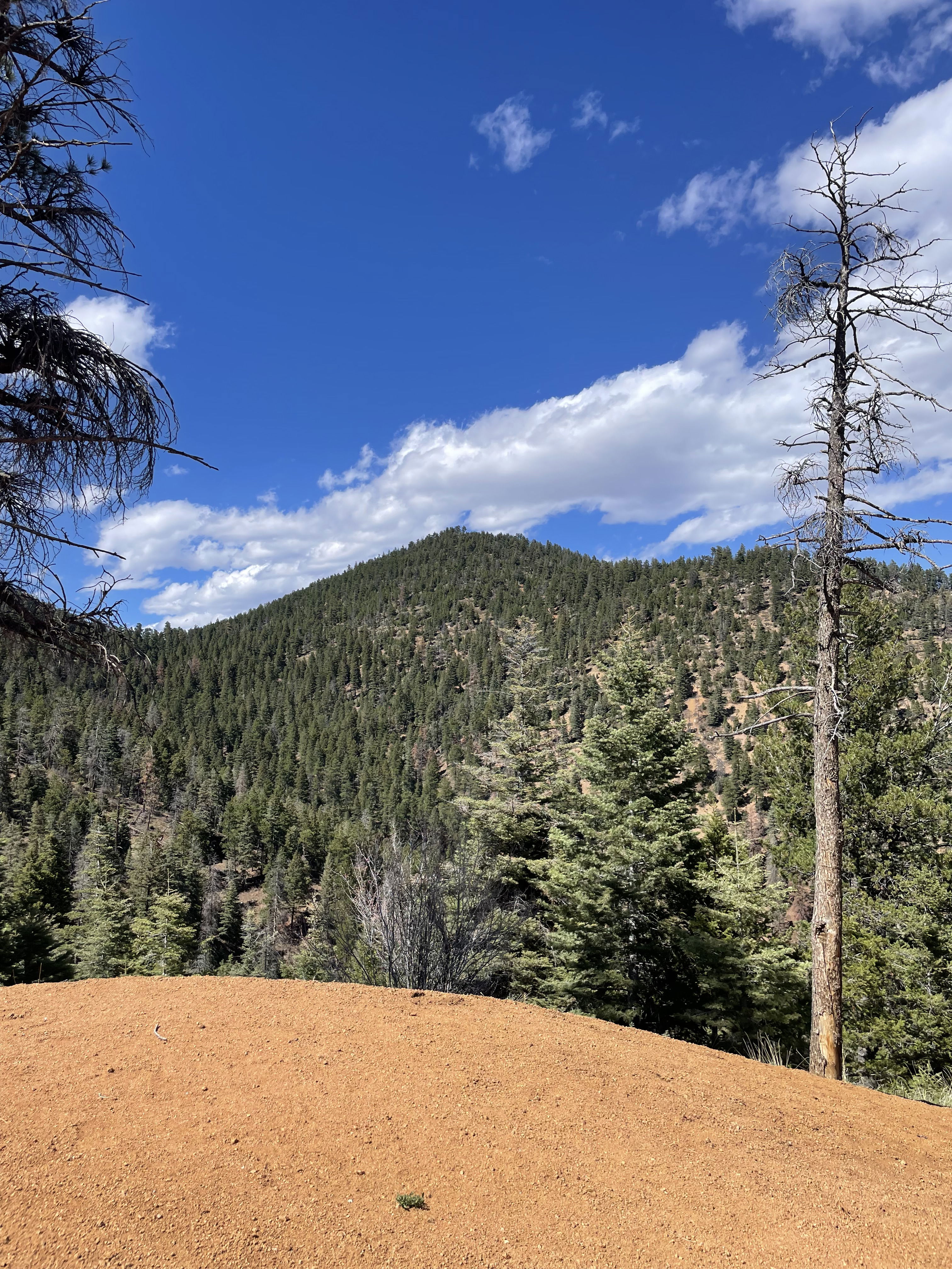
Mays Peak from the hike.
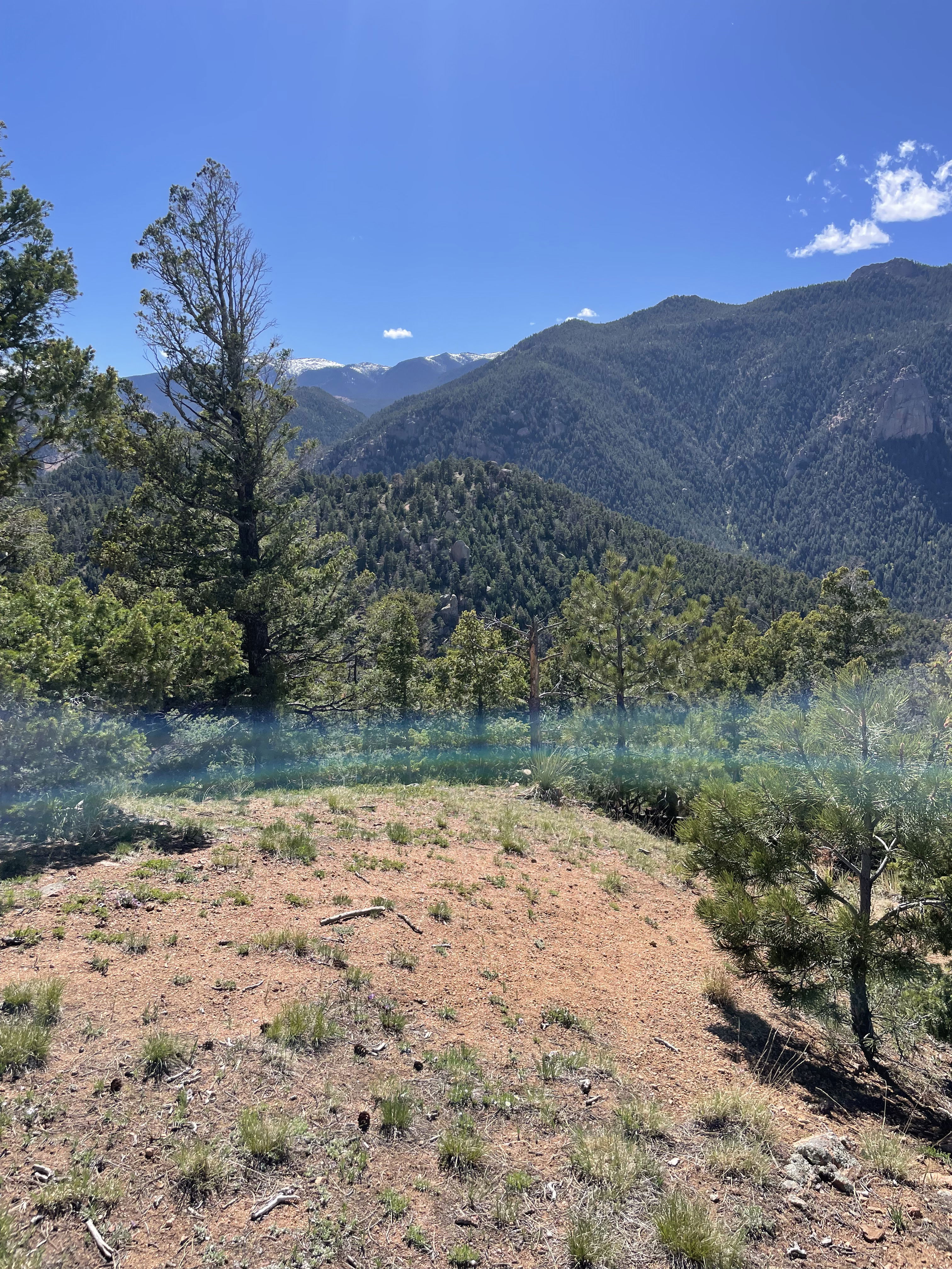
Views to the west.
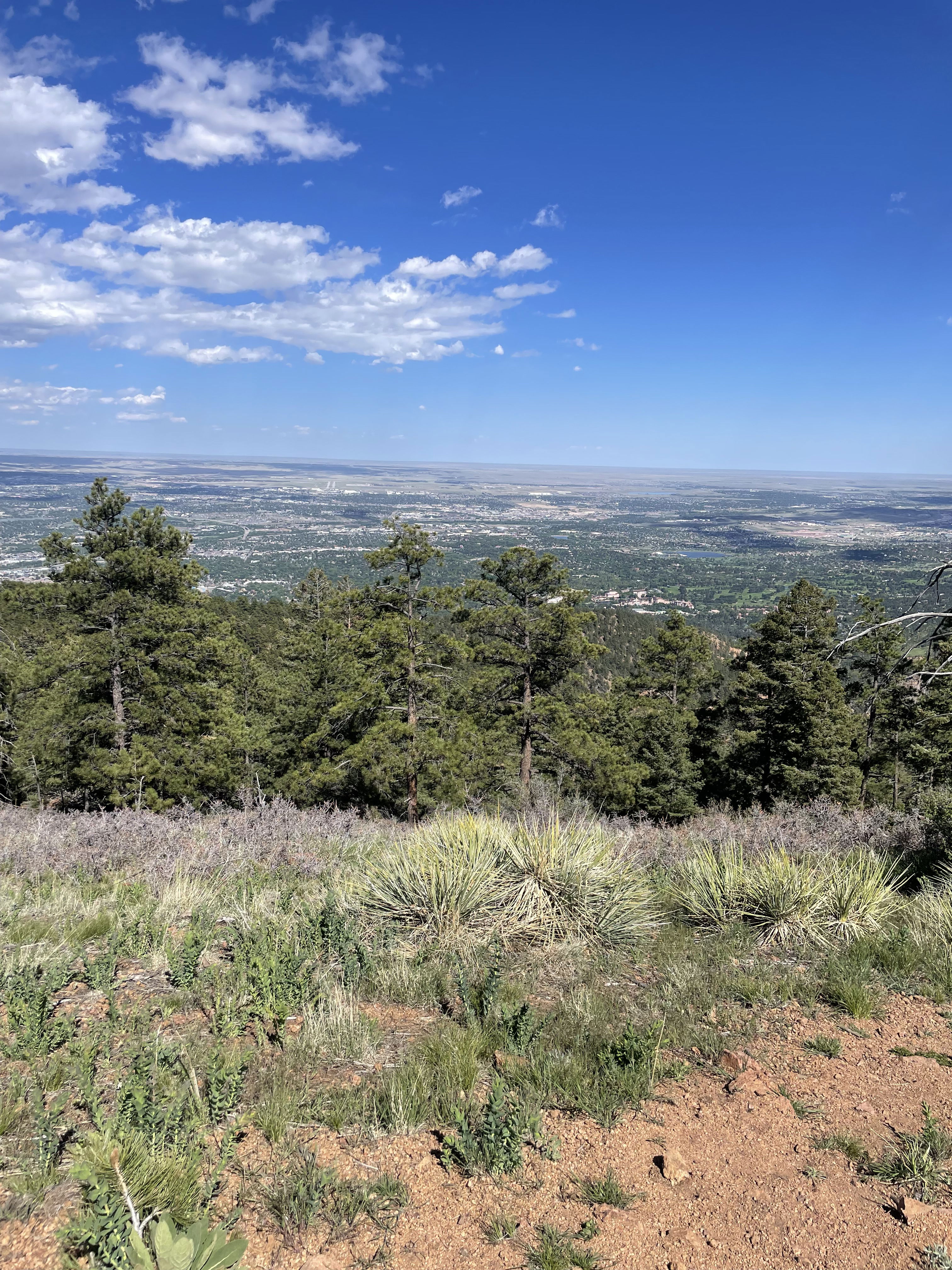
Views to the east.
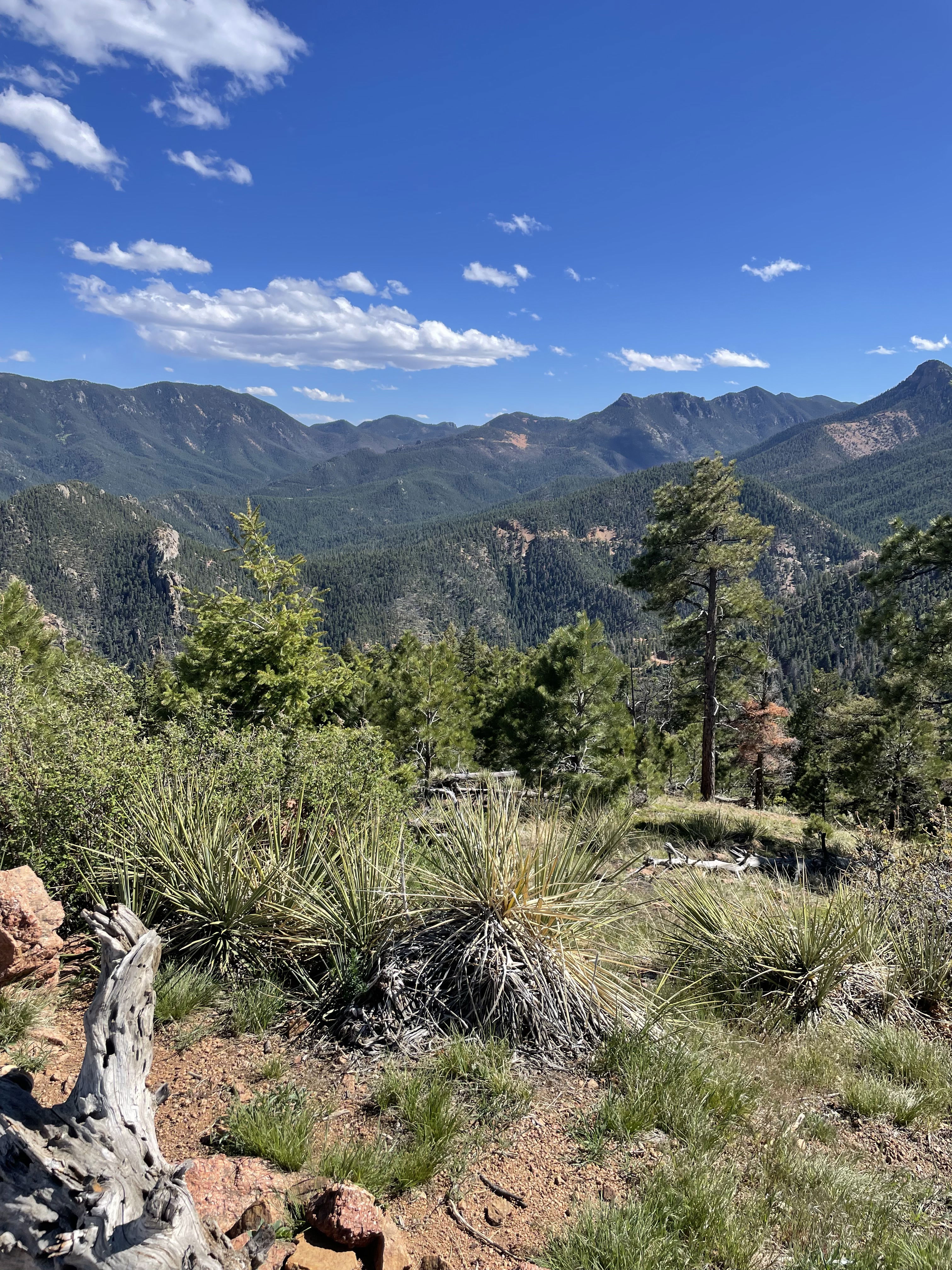
Views to the south.
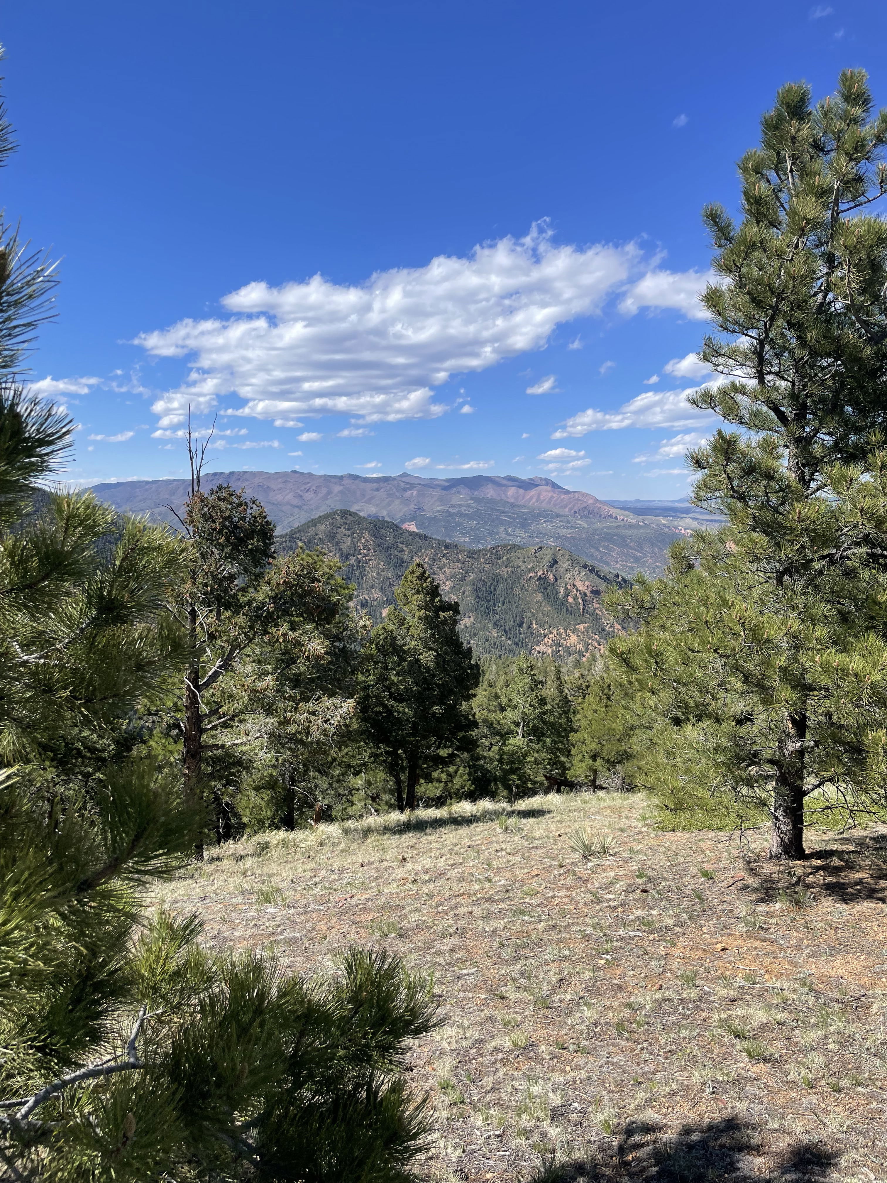
Views to the north.
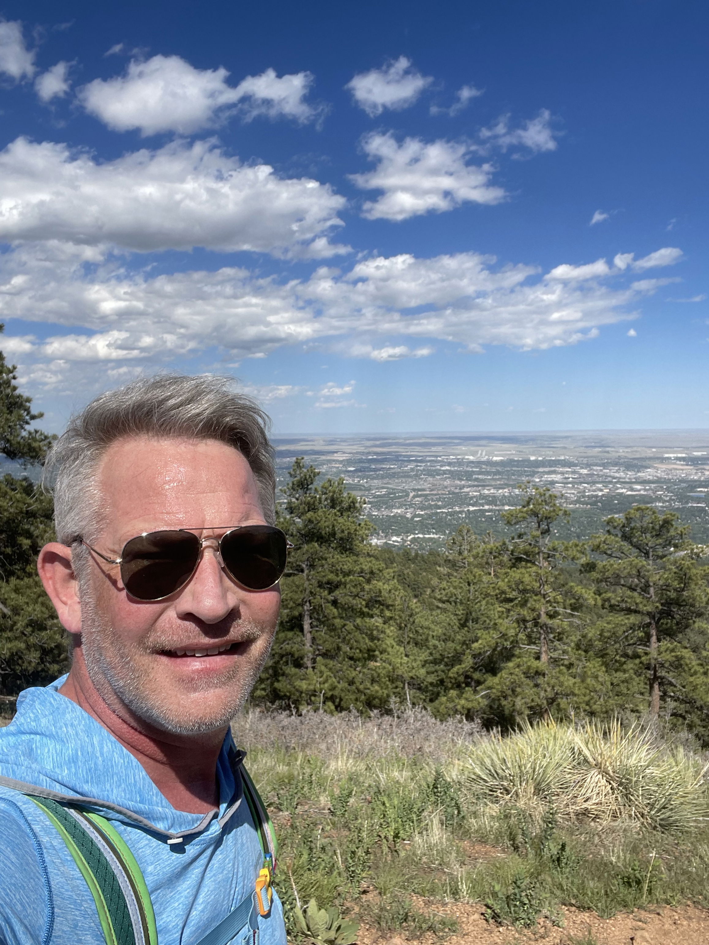
Summit Photo
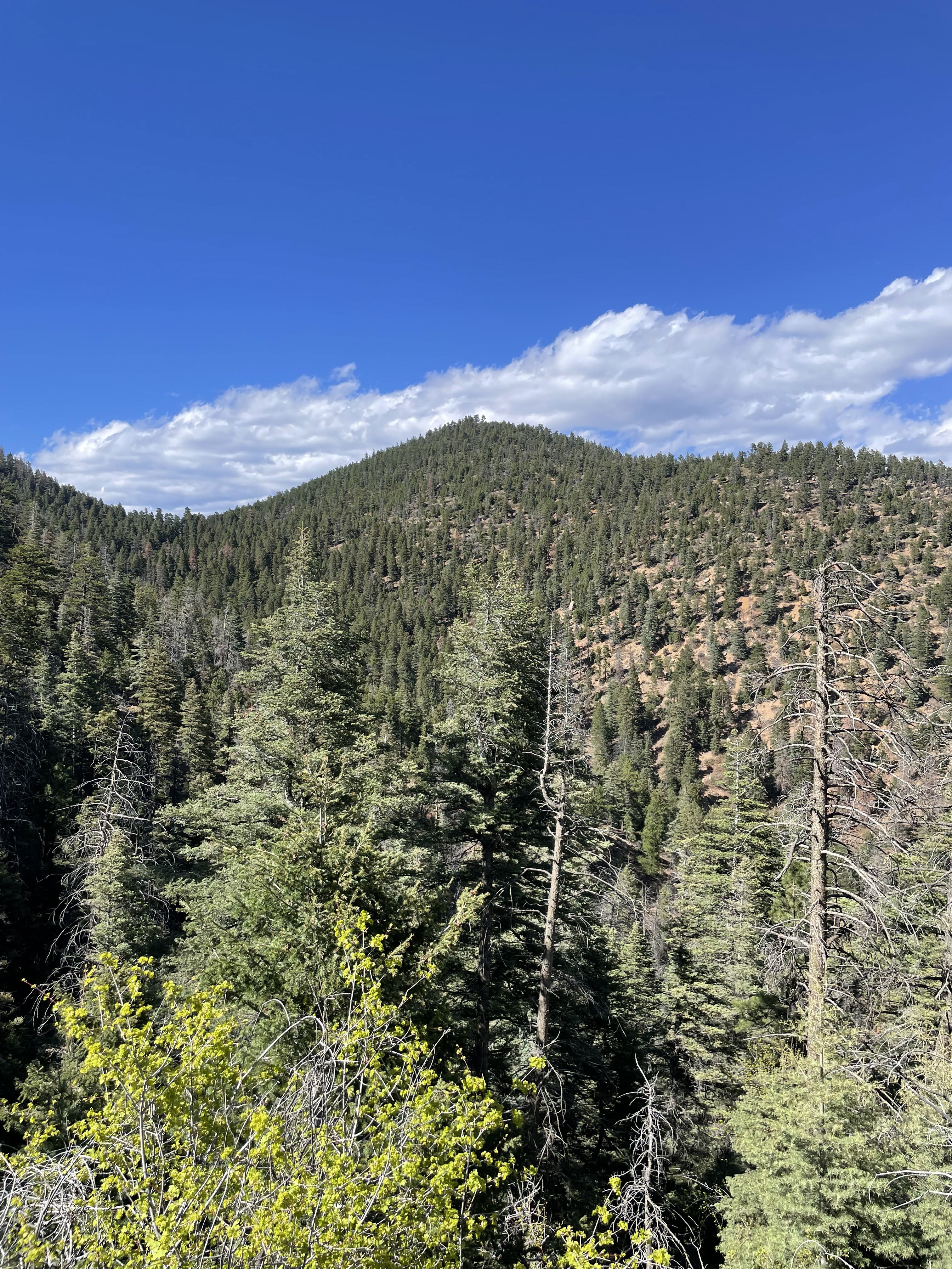
Mays Peak on the hike out.