
Carbonate Mtn./Cyclone Mtn./Lo-Carb/Grizzly Mtn.
Statistics
- Date - 07/12/2025
- Elevation - 13,663'/13,596'/13,591'/13,708'
- Route - South Ridge/Southwest Ridge/South Ridge/East Ridge
- Miles - 8.6
- Elevation Gain - 4,191'
- ACME Mapper - Link
- CalTopo - Link
- Partners - Not Applicable
Description
I was able to summit three Colorado Bi-Centennial Peaks on this one hike. I hadn't been to elevation in a while due to my daughter's wedding and the Forth of July, so I was excited to get back to the mountains.
- Carbonate Mountain - Rank 189 Old Elevation 13,633' New Elevation 13,662'
- Cyclone Mountain - Rank 196 Old Elevation 13,596' New Elevation 13,616'
- Lo Carb - Unranked Old Elevation 13,591' New Elevation 13,598'
- Grizzly Mountain - Rank 187 Old Elevation 13,708' New Elevation 13,722'
I drove to the trailhead at the base of Cyclone Creek the night before this hike. In hindsight, I was glad to have done this since the road is moderately rough and took me much longer than I anticipated. I likely would have gotten a much later start had I tried to complete the drive that morning. I left the trailhead at 6:00 am and made it to Carbonate Mountain at 8:35 am. I spent 15 minutes on top before traversing northwest to Cyclone Mountain, which I reached after 30 minutes at 9:20 am. I only stayed 5 minutes since I had some work left and continued north to the unranked Lo Carb, which I reached after 25 minutes at 9:50 am.
I spent 20 minutes on Lo Carb taking in the views, rehydrating, snacking, and sending an inReach message to my wife. I left Lo Carb at 10:10 am, and progress slowed considerably at this point. The descent off Lo Carb to its saddle with Grizzly Mountain was the most challenging part of the day with loose rock, route-finding, and class 3 scrambling. Nevertheless, hiking was easier from the saddle to the summit of my final peak of the day, which I reached after one hour and 35 minutes at 11:45 am.
I spent another 20 minutes on Grizzly Mountain happy with my day so far. Although the hike out was mostly downhill from here, the descent was much more difficult and annoying than I anticipated. After I left Grizzly Mountain's southwest ridge to drop down to Cyclone Creek, the terrain was steep and loose and miserable. After finally reaching more flat ground, I began using game trails to work my way back to the trailhed. Unfortunately, there was a lot of downfall, bush-whacking, and thick brush to get through.
At one point, I became so frustrated I simply went into the creek and tried hiking in the water. That also wasn't very successful, and on top of it, I got rained on for about 20 minutes too. Oh well, I finally picked up a faint trail about one mile from the trailhead and completed my hike with a 9 hour car-to-car day. Given the stats, that seemed pretty slow to me, but considering the limited trails and moderately difficult terrain I was just happy to have completed the loop.
Photos
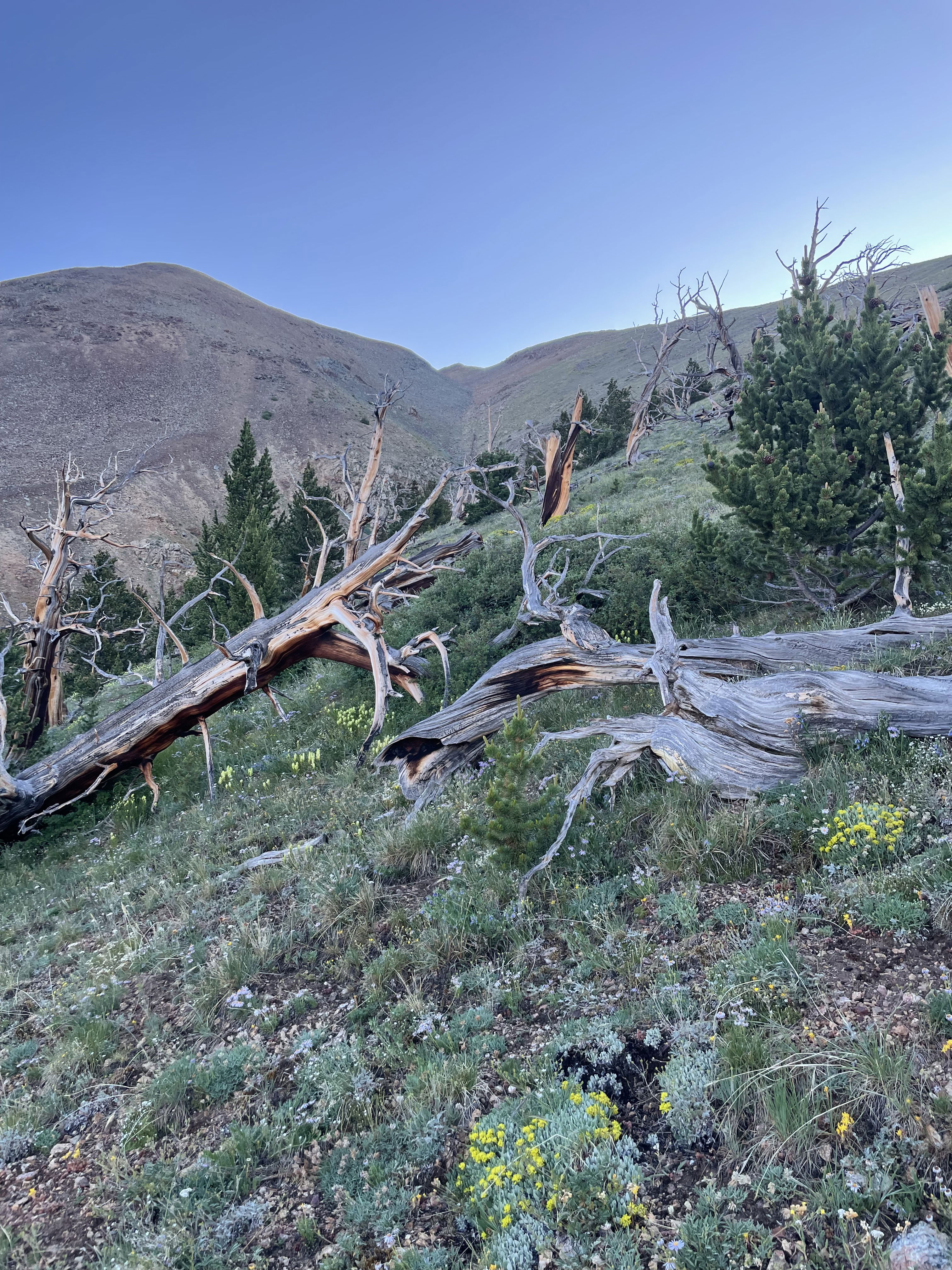
Nearing the south ridge of Carbonate Mountain.
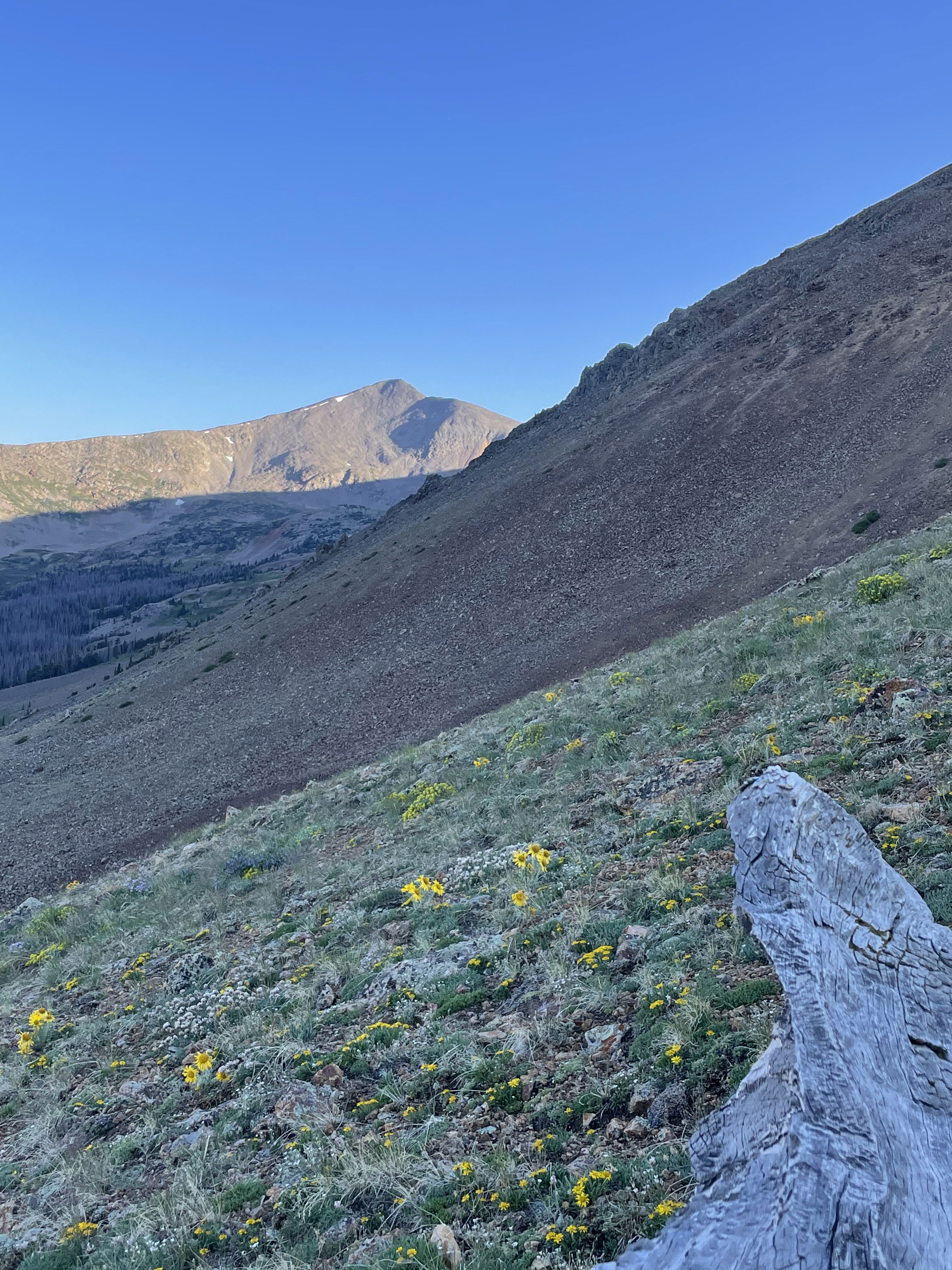
Grizzly Mountain early in the day.
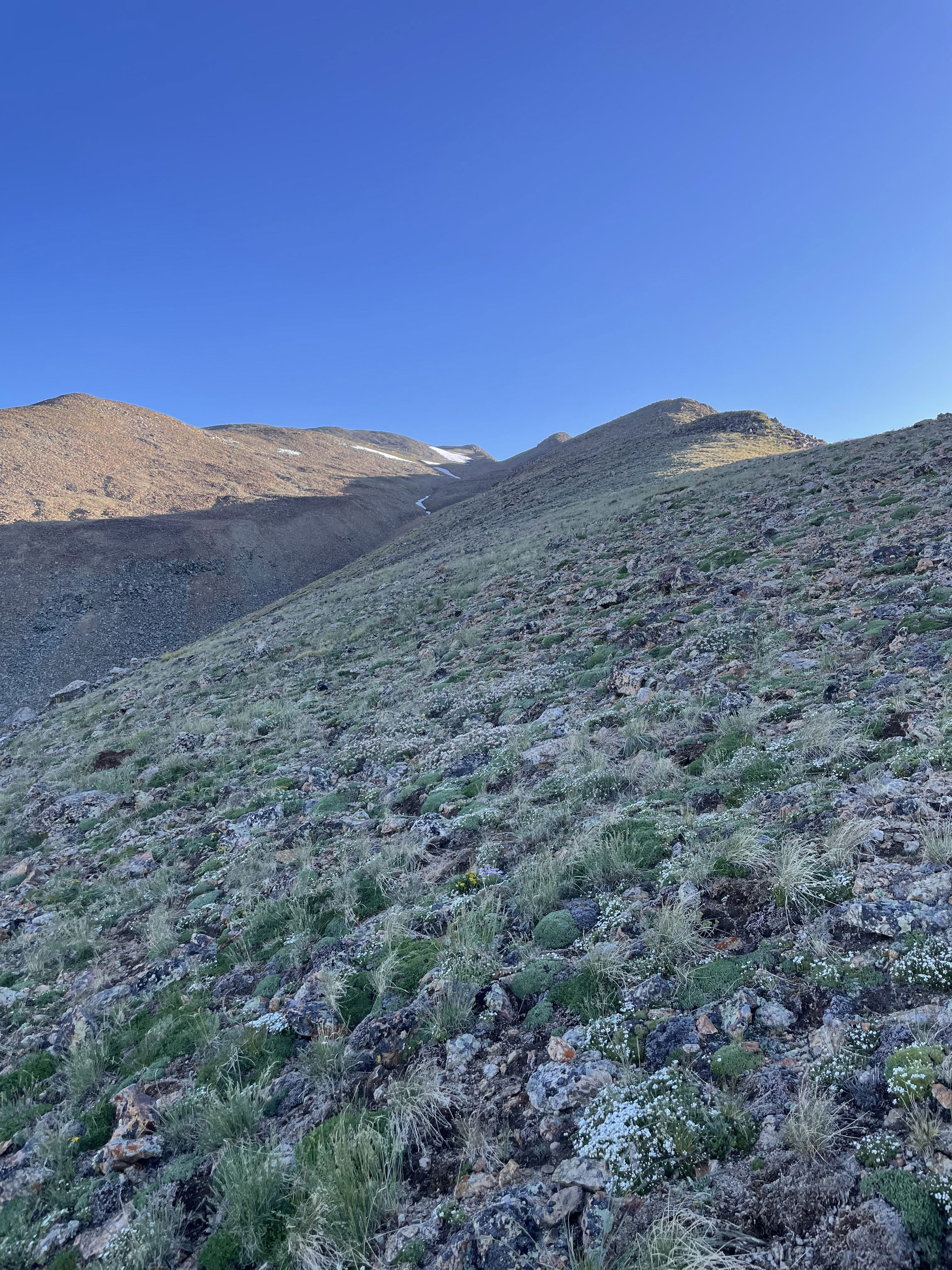
Hiking up the south ridge of Carbonate Mountain.
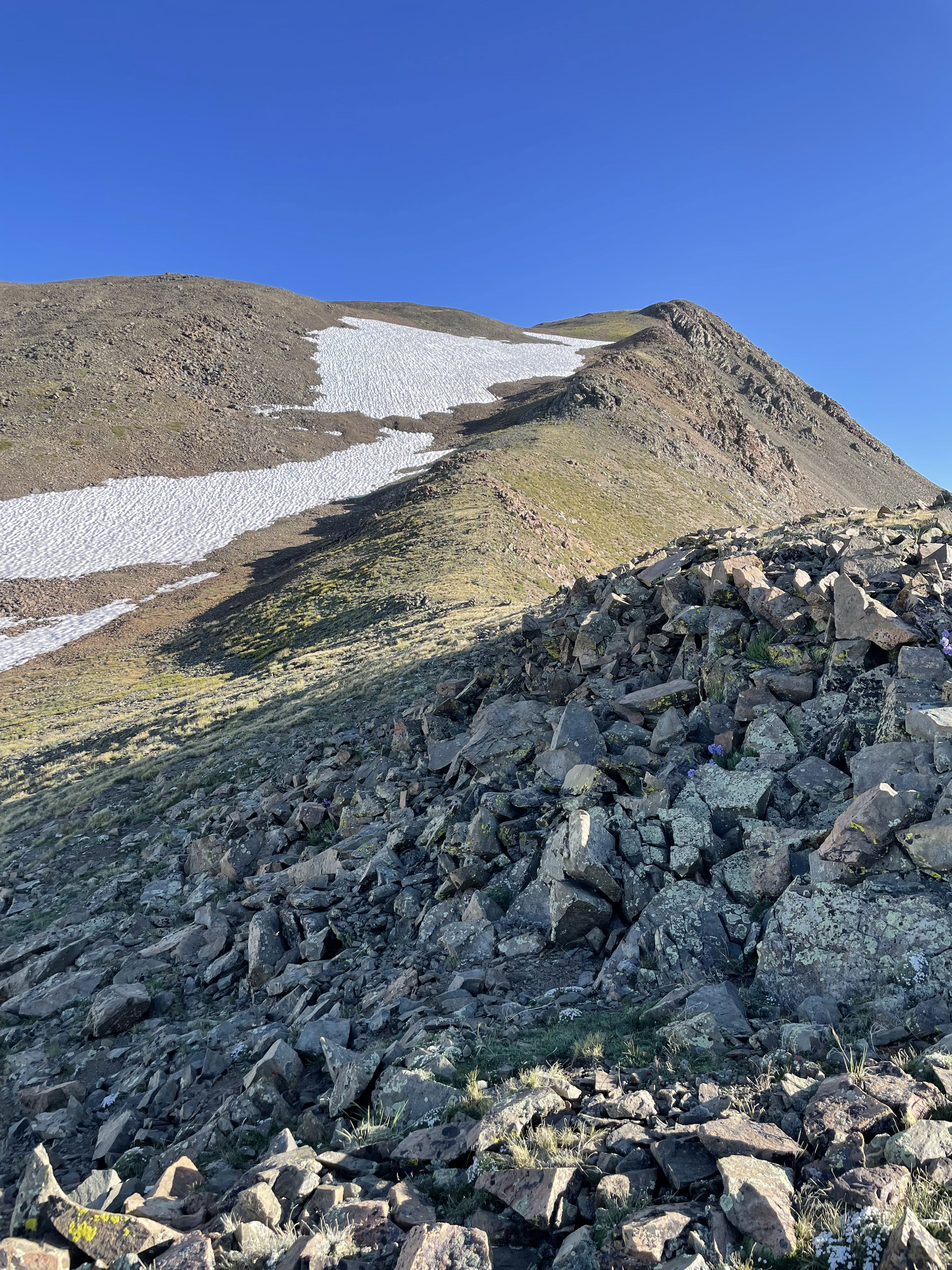
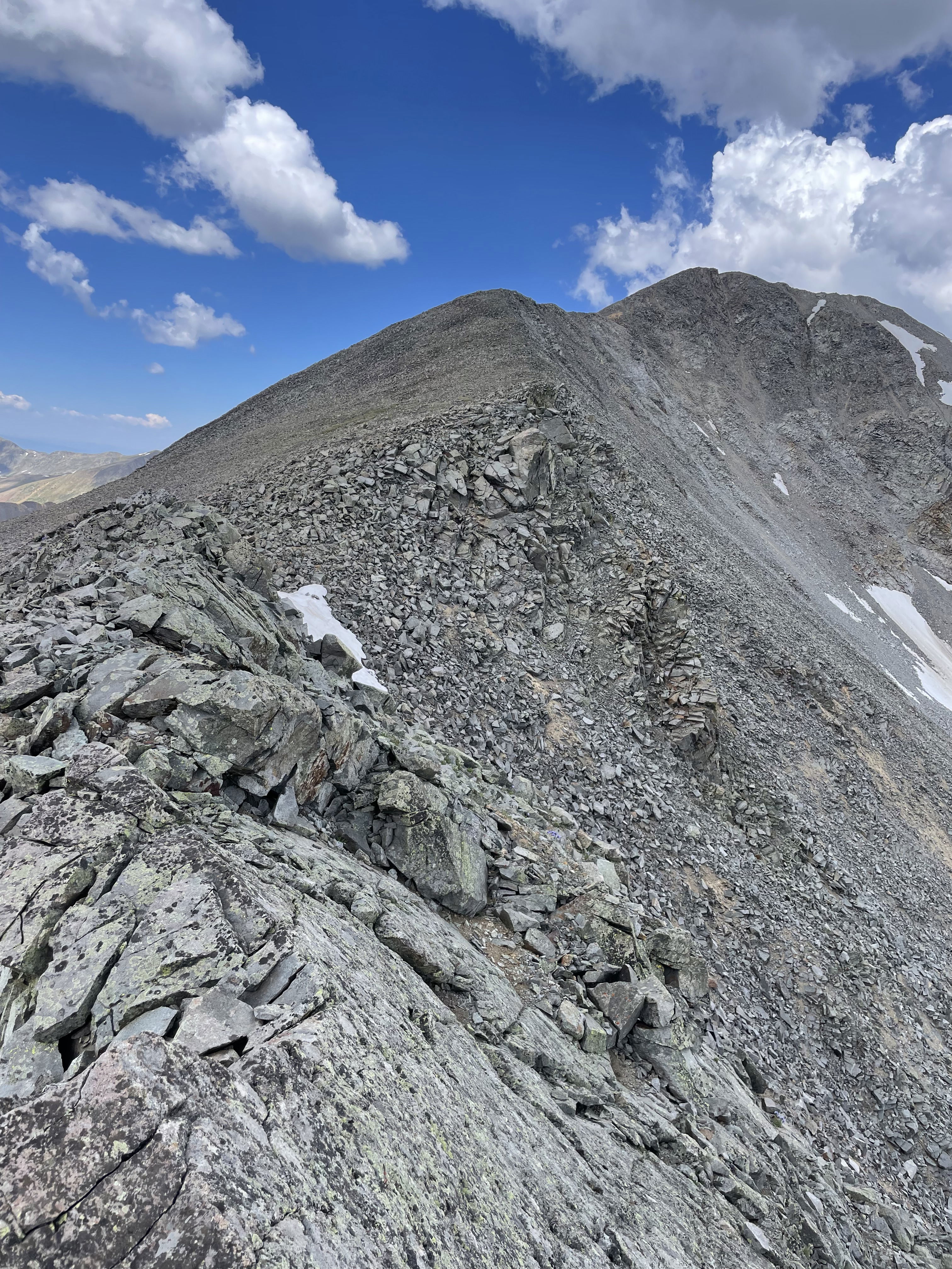
The last section of Carbonate Mountain's south ridge.
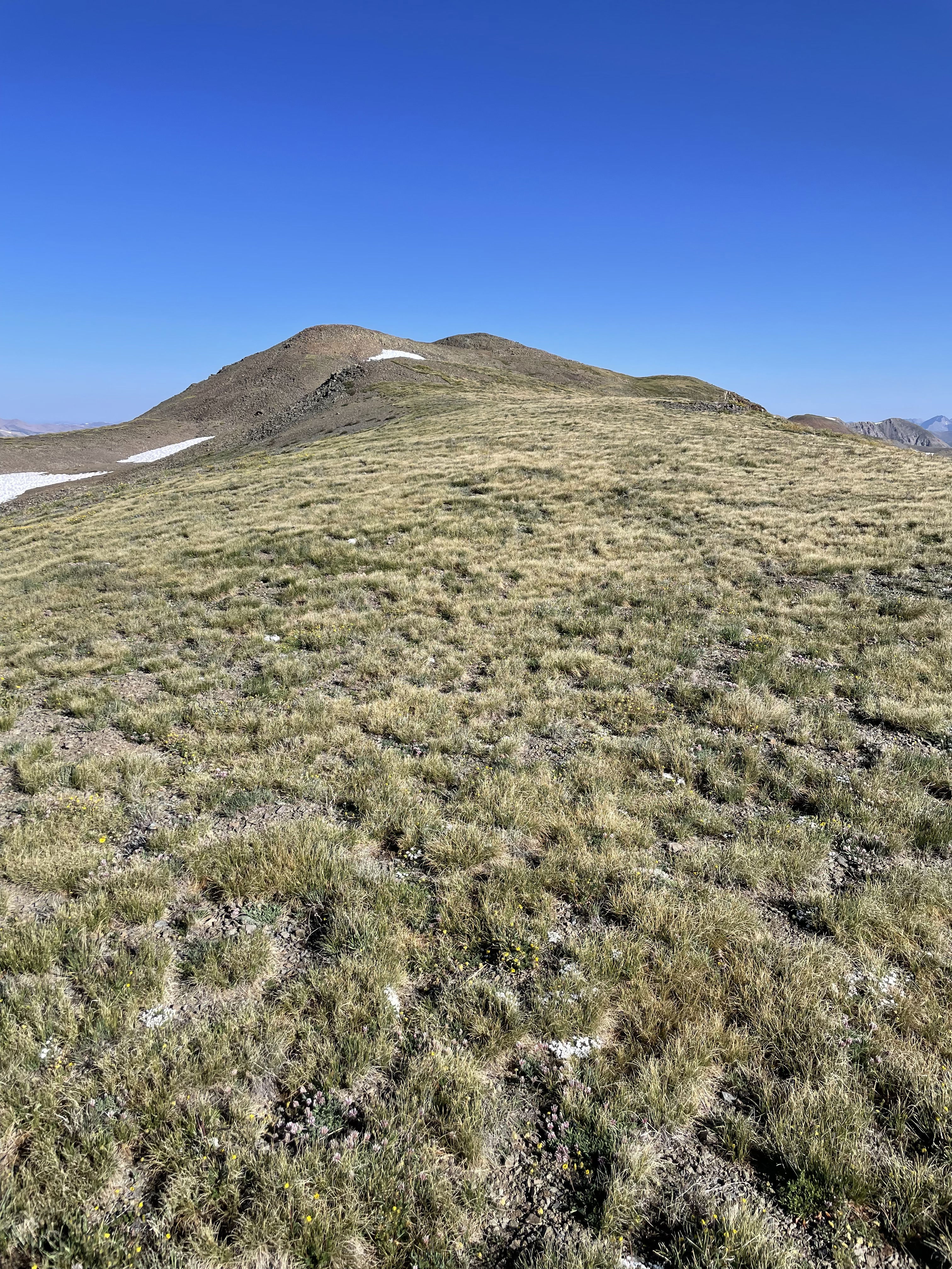
My first look at the true summit of Carbonate Mountain.
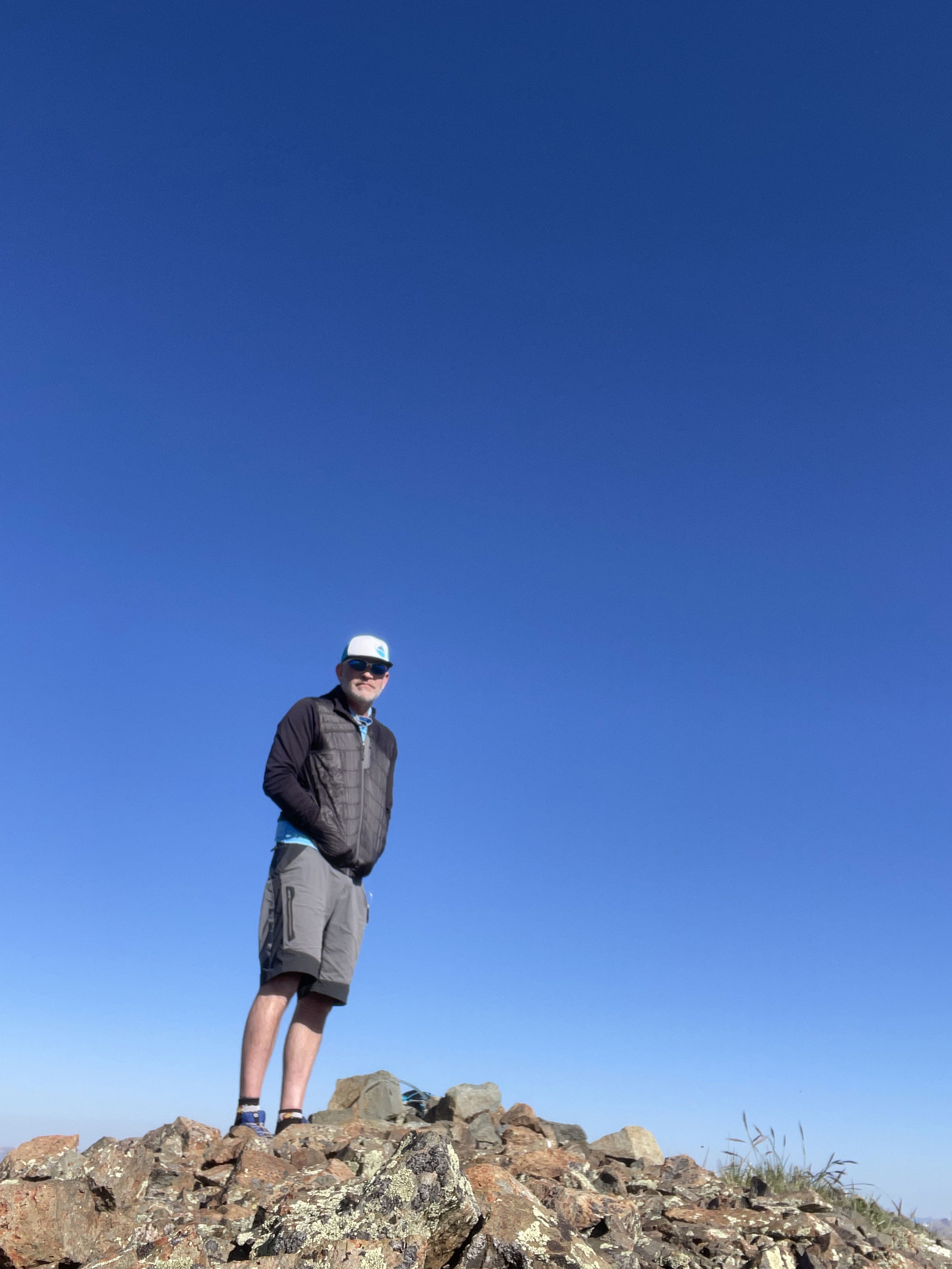
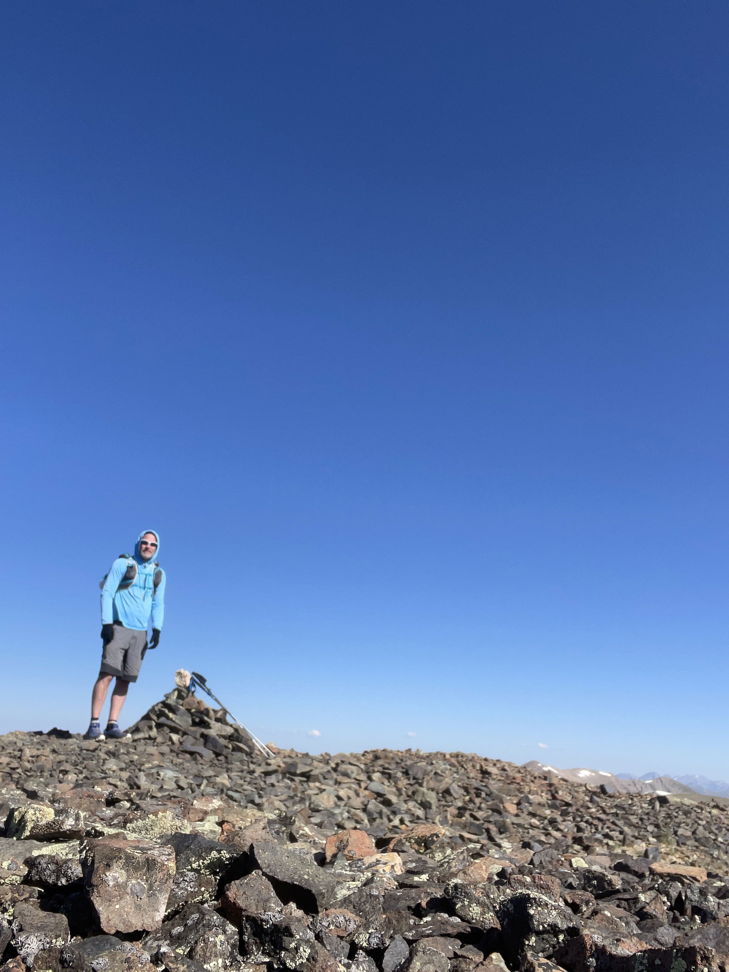
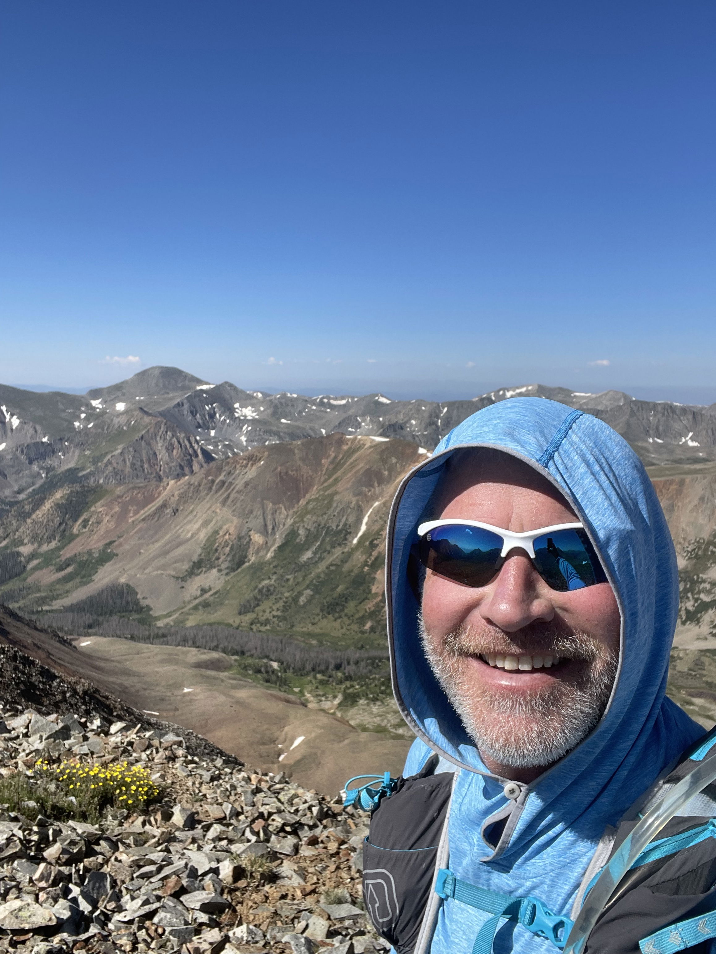
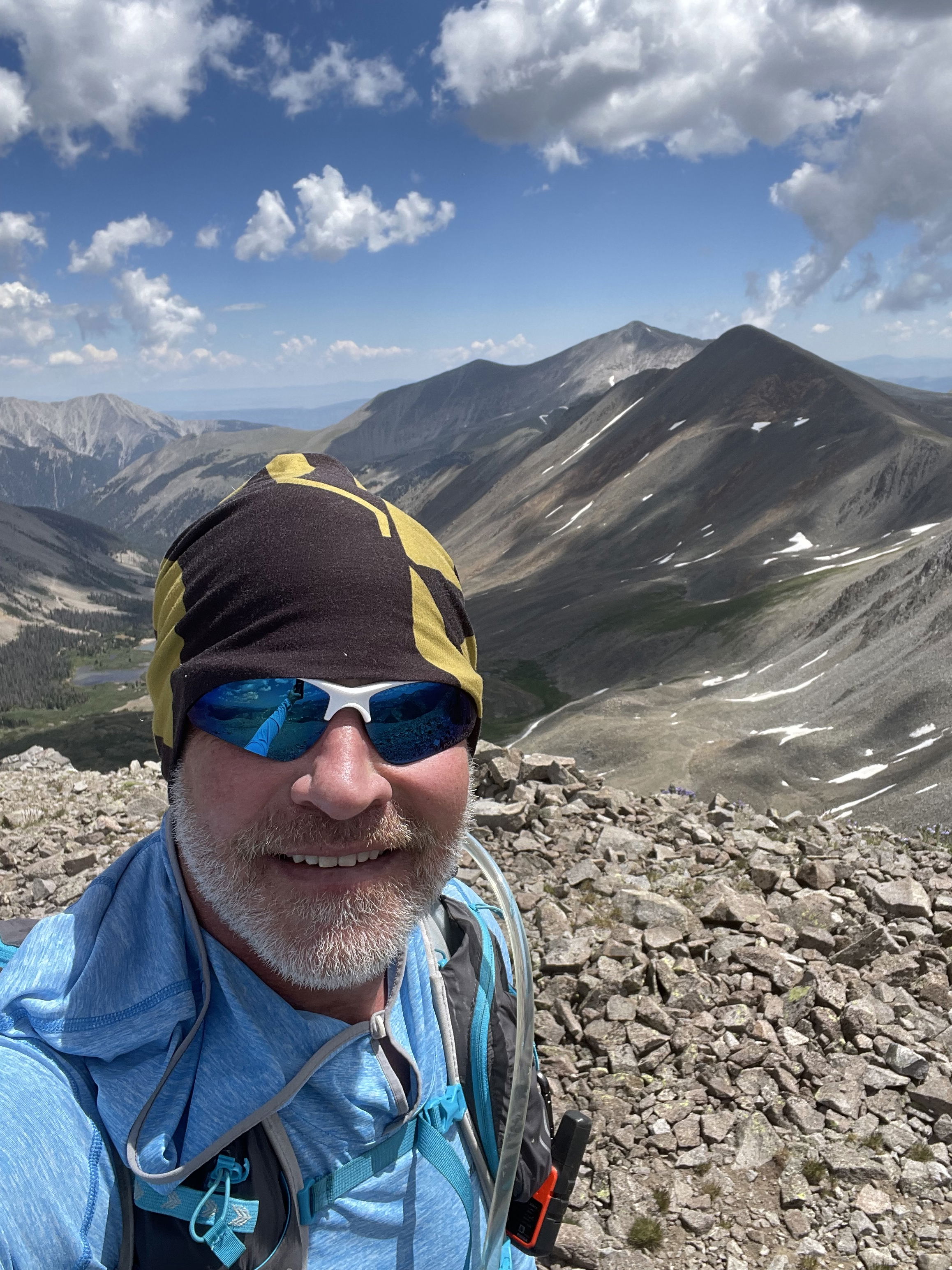
Summit Photo (Carbonate Mountain)
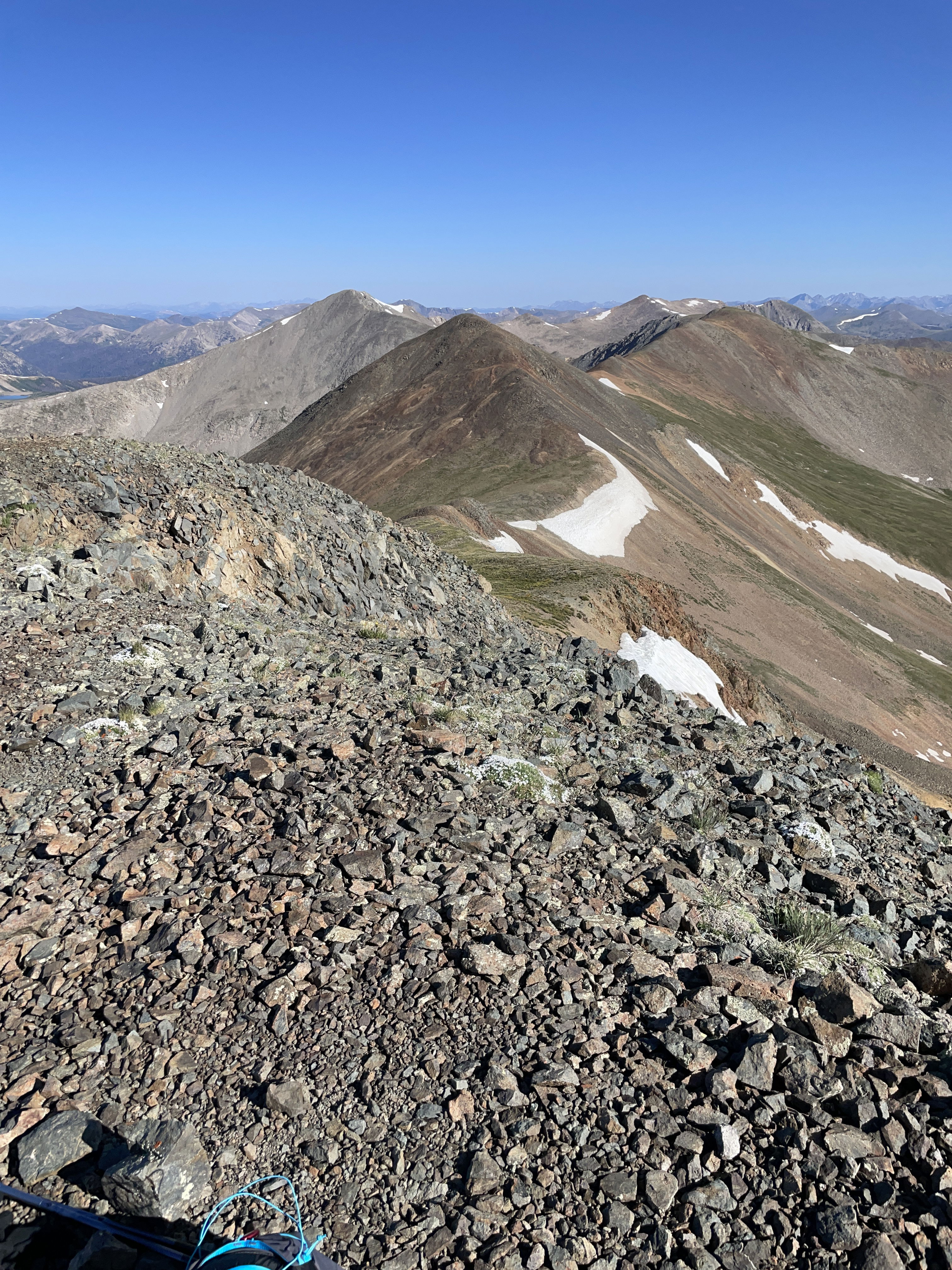
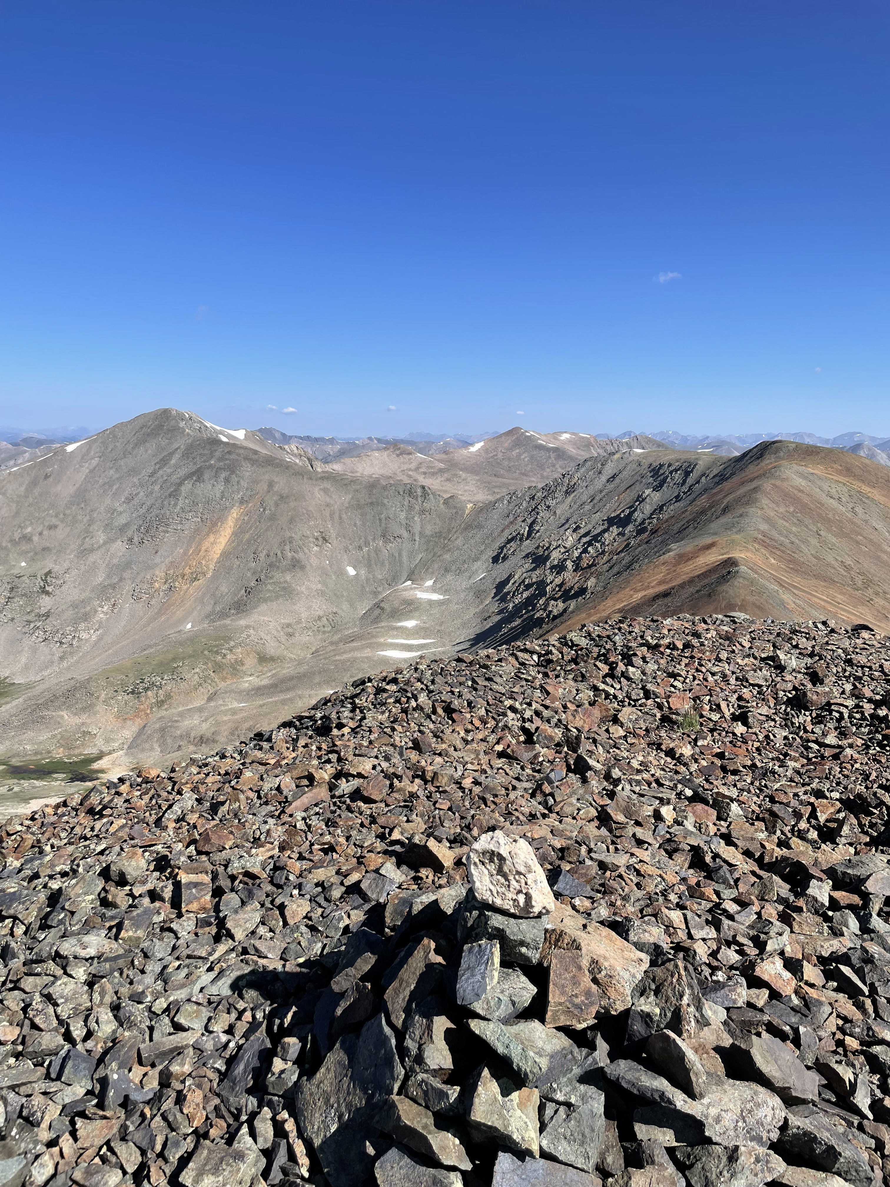
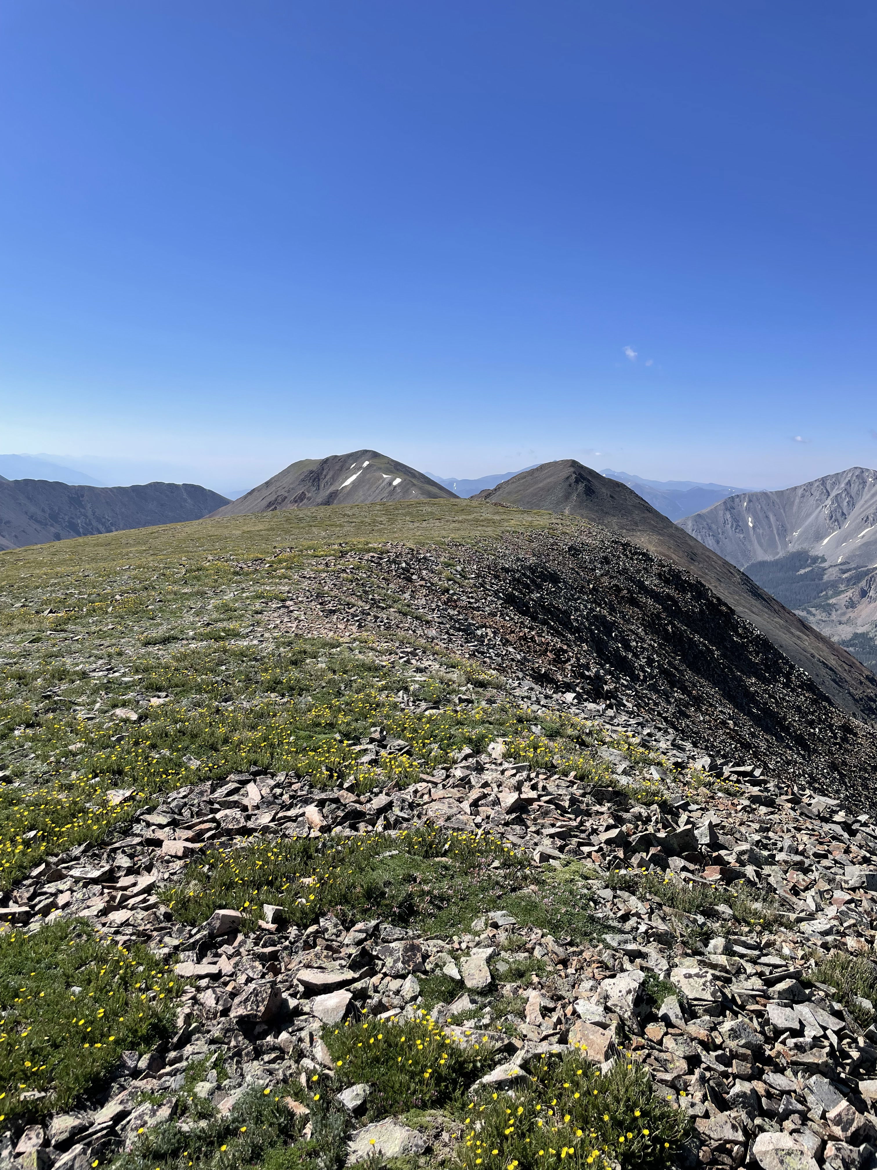
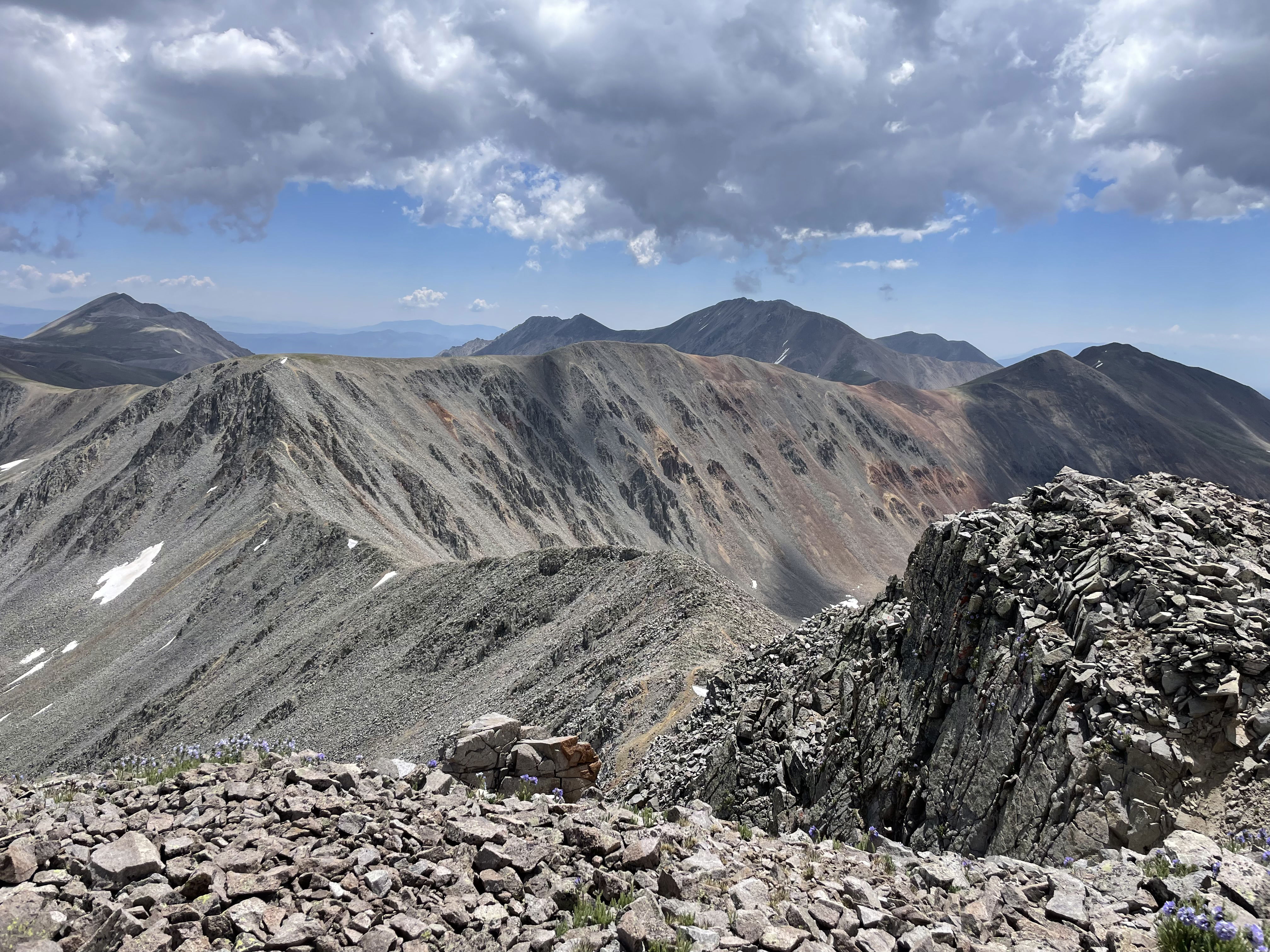
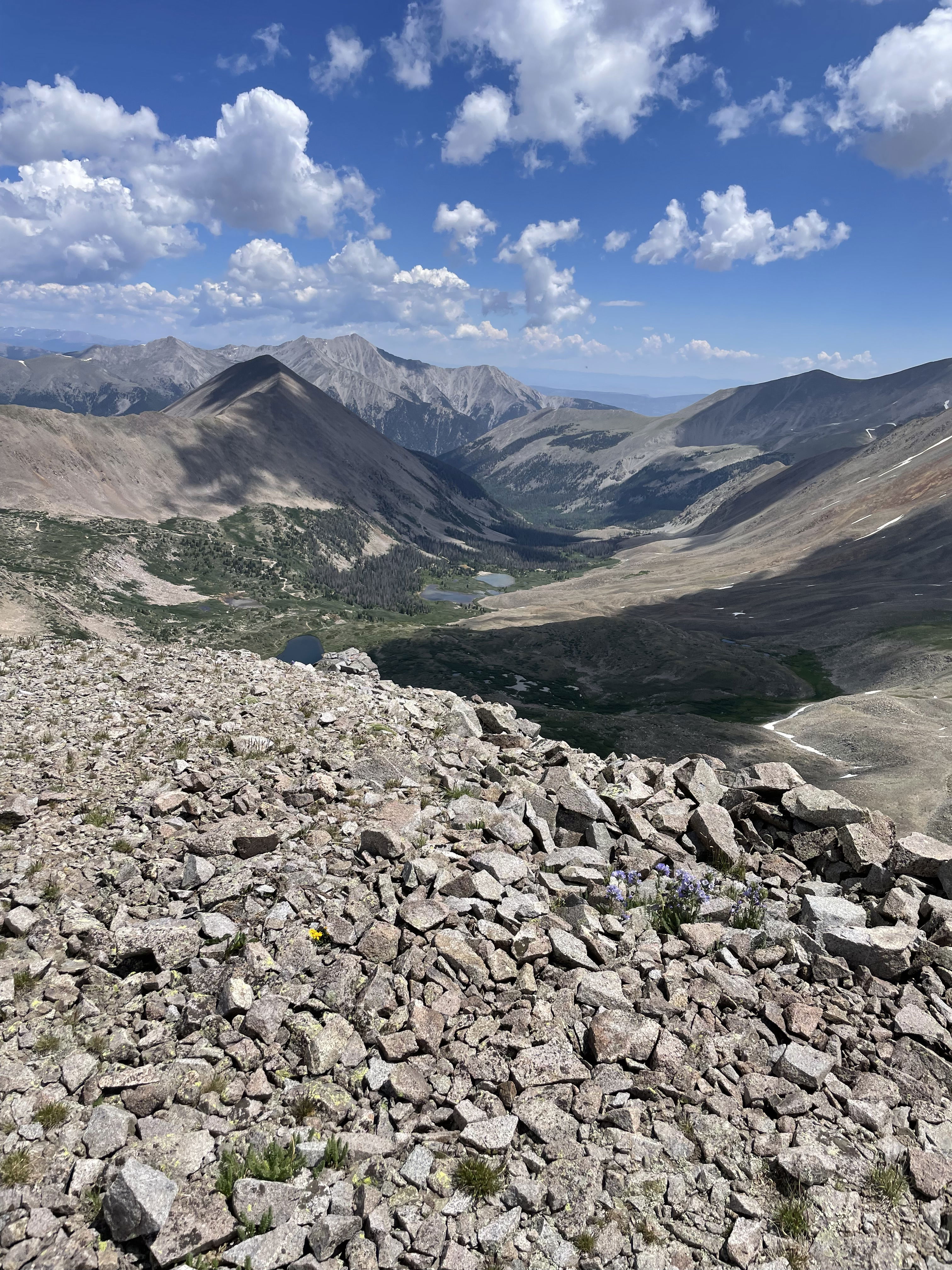
Grizzly Mountain, Cyclone Mountain, and Lo Carb from Carbonate Mountain.
Tabeguache Peak and Mount Shavano to the east.
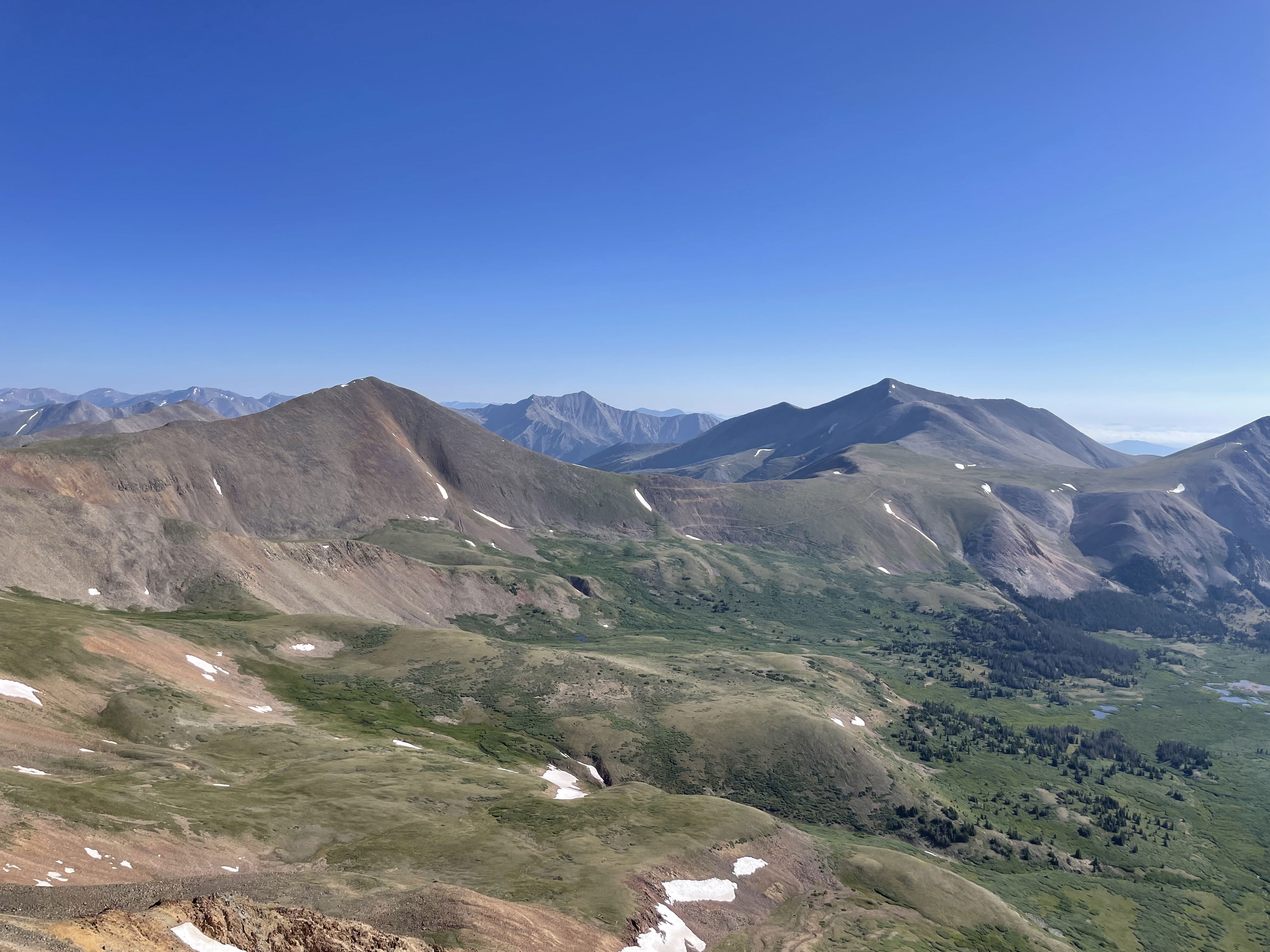
Cronin Peak and Mount Antero to the northeast.
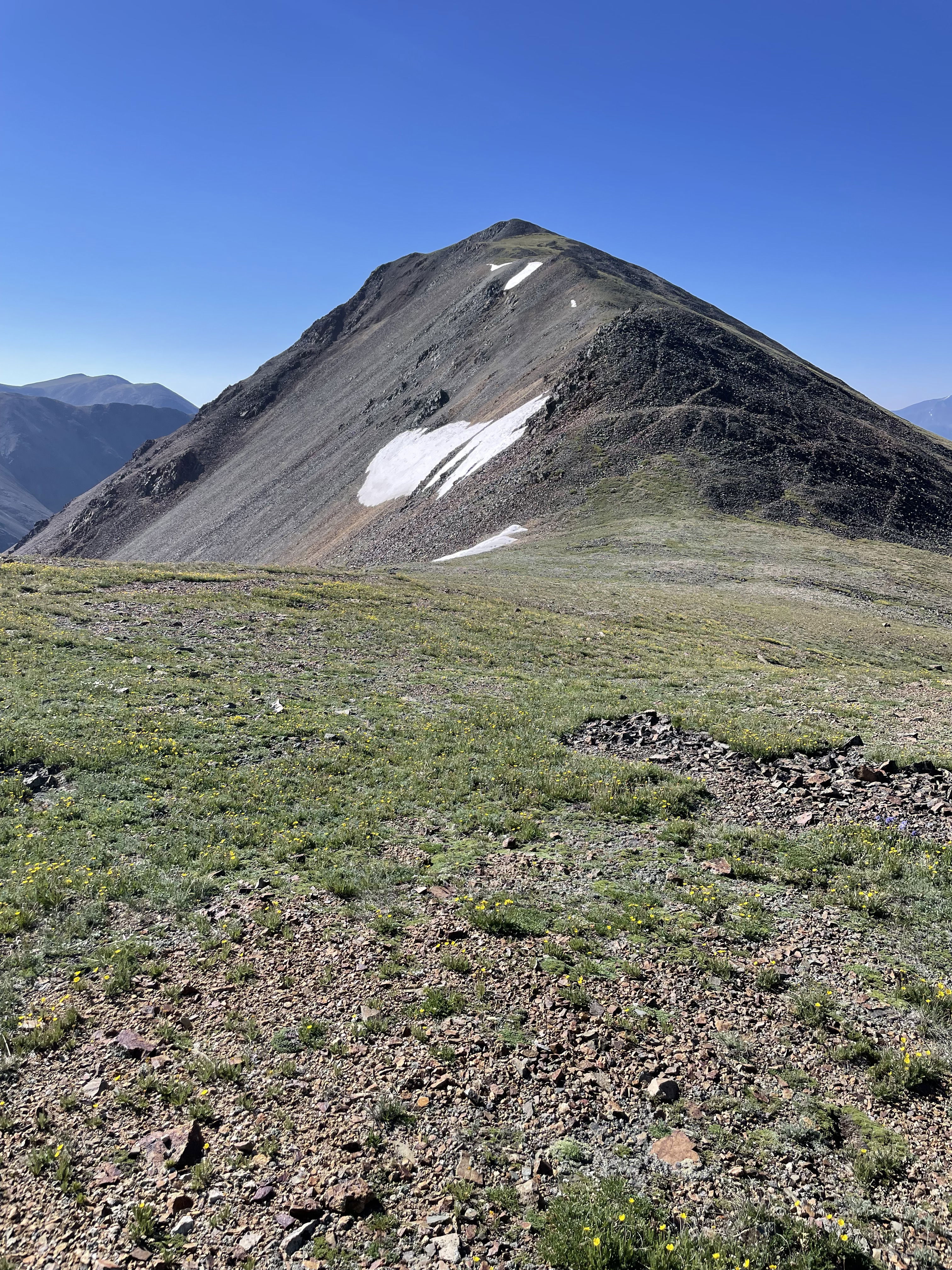
Cyclone Mountain from the saddle between Cyclone and Carbonate.
Carbonate Mountain from the saddle between Cyclone and Carbonate.
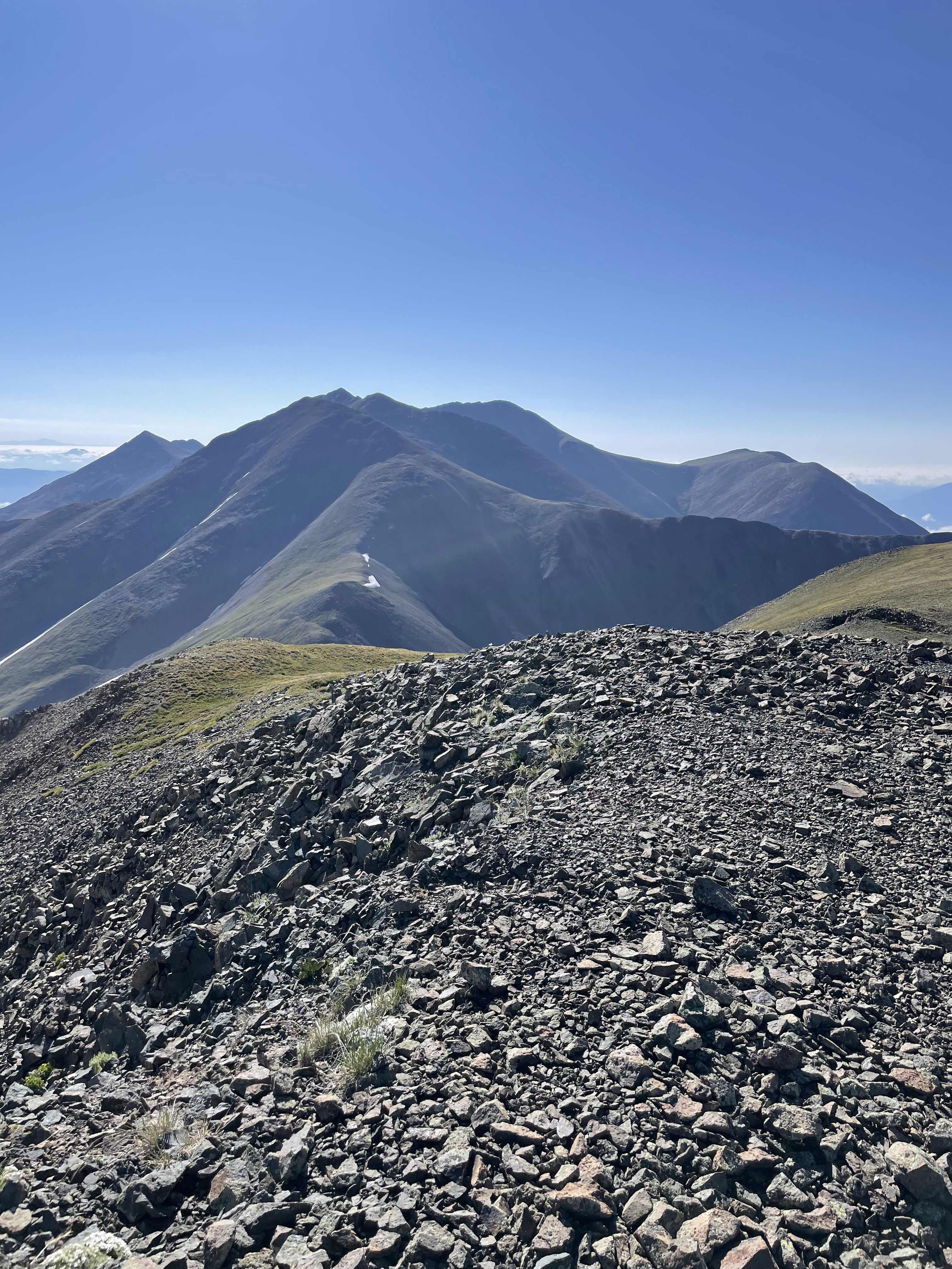
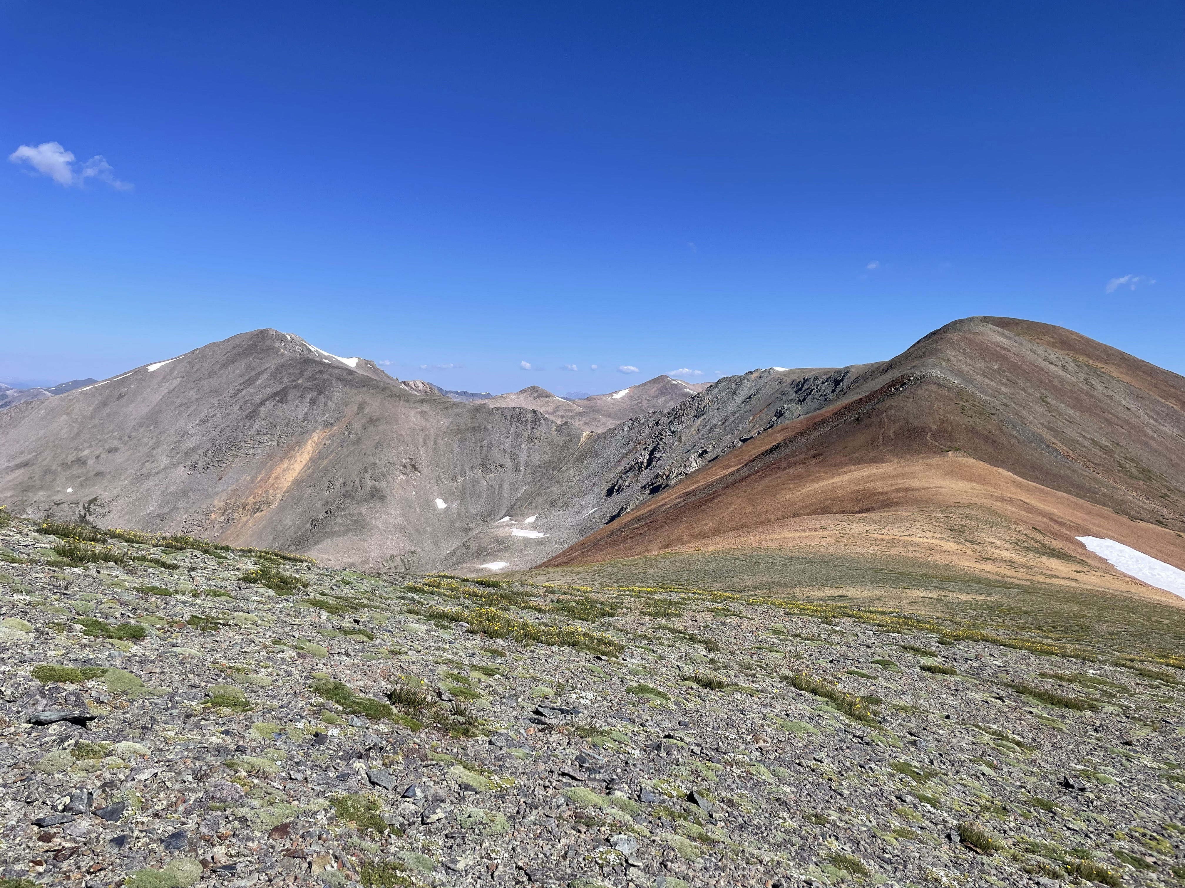
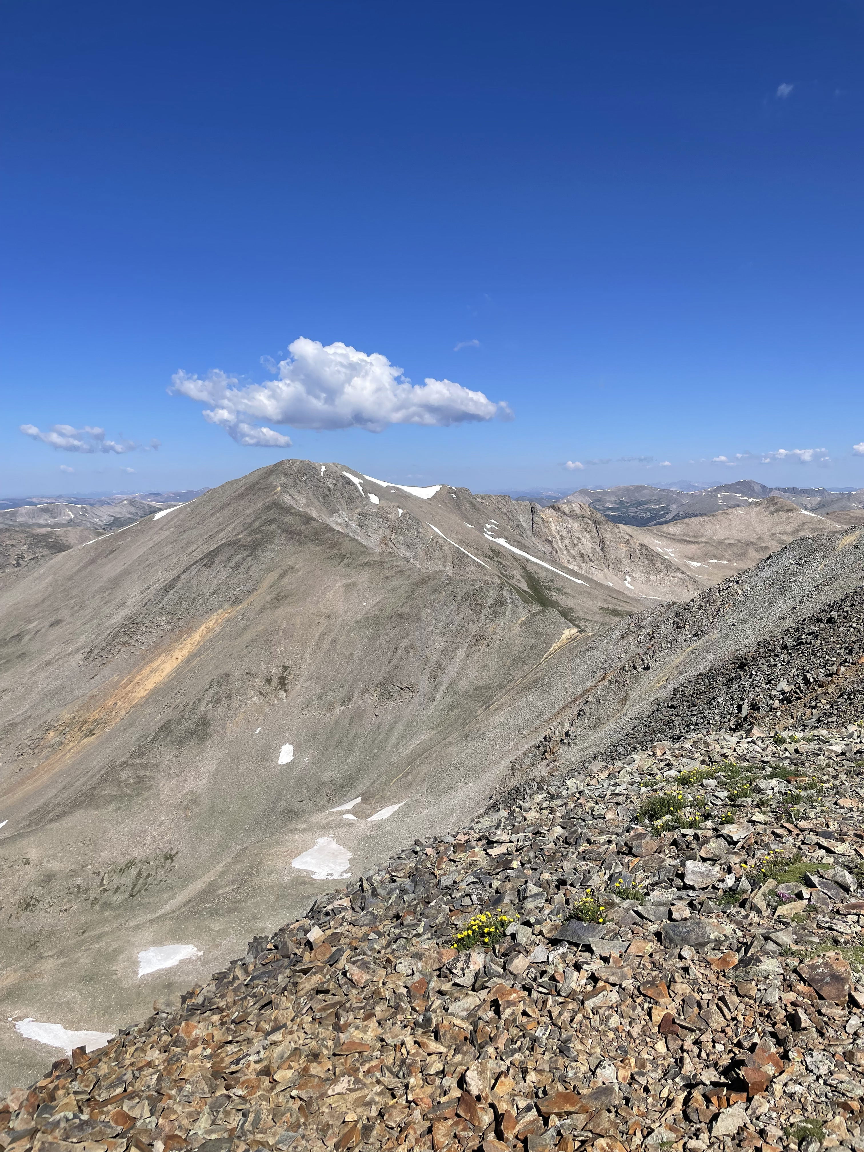
Tabeguache and Carbonate from Cyclone Mountain.
Grizzly and Lo Carb from Cyclone Mountain.
Summit Photo (Cyclone Mountain)
Grizzly Mountain and Lo Carb from the saddle between Cyclone and Lo Carb.
Cyclone Mountain from the saddle between Cyclone and Lo Carb.
Carbonate Mountain and Cyclone Mountain from Lo Carb.
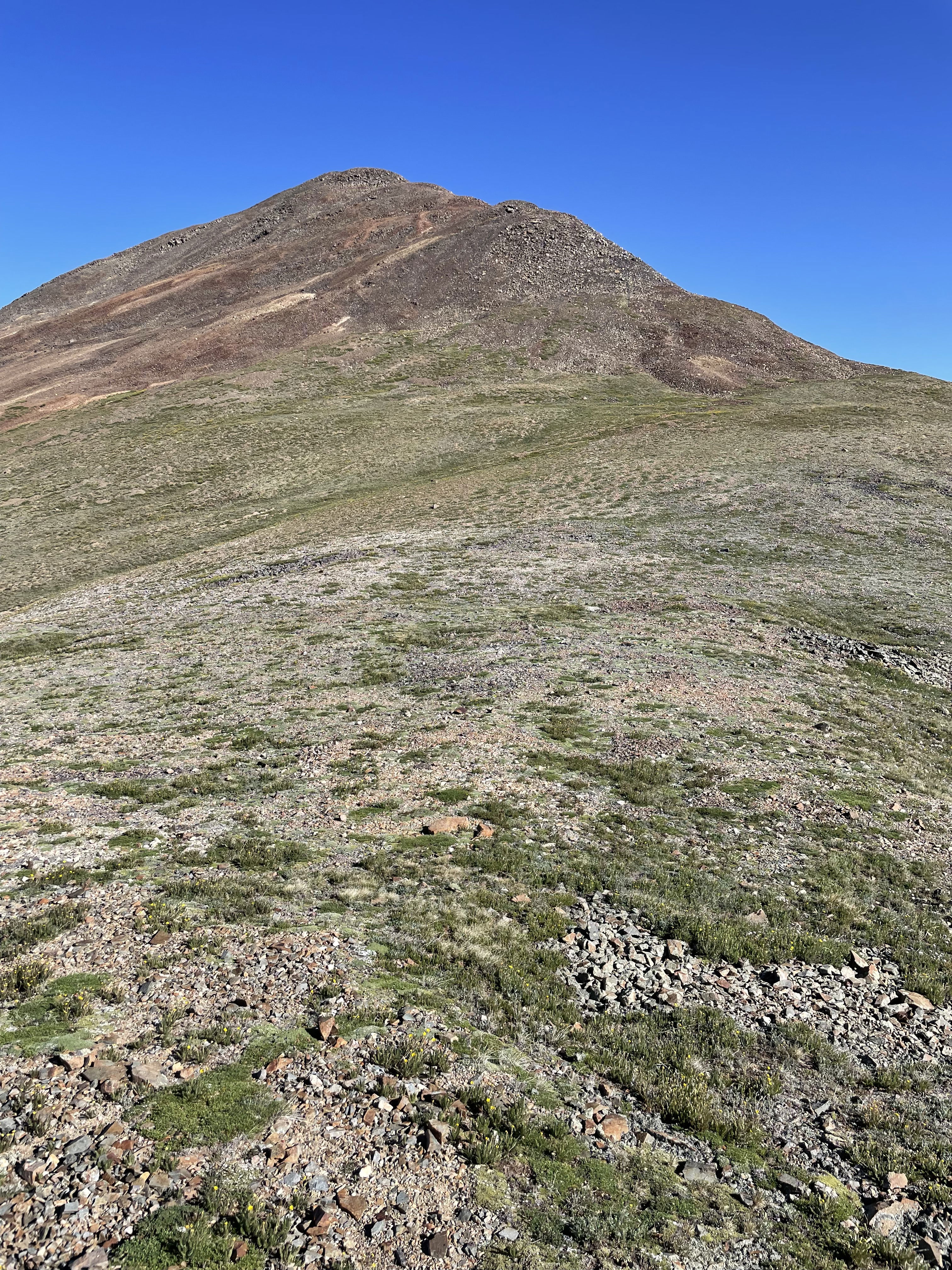
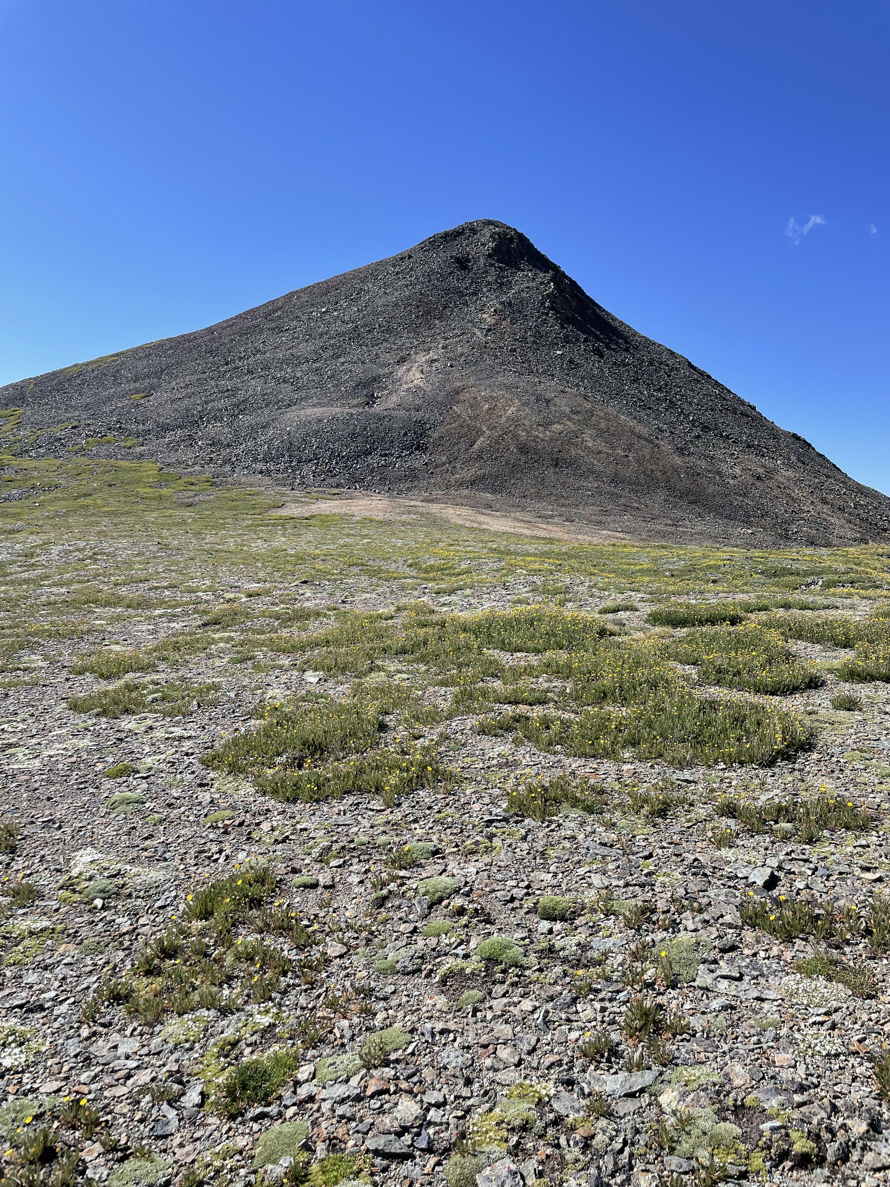
Grizzly Mountain from Lo Carb.
Summit Photo (Lo Carb)
Cronin Peak and Lo Carb from the saddle between Grizzly and Lo Carb.
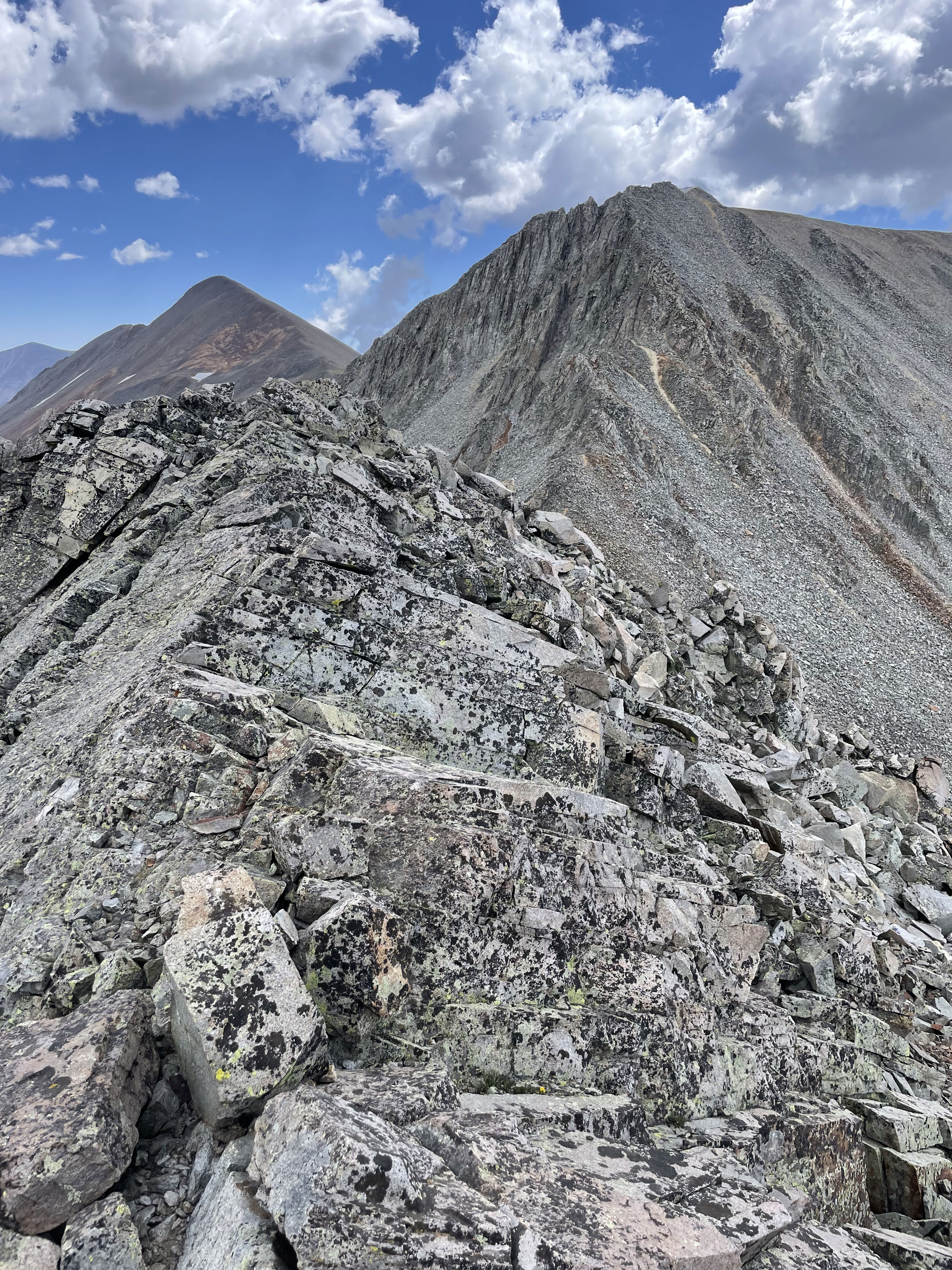
Grizzly Peak from the saddle between Grizzly and Lo Carb.
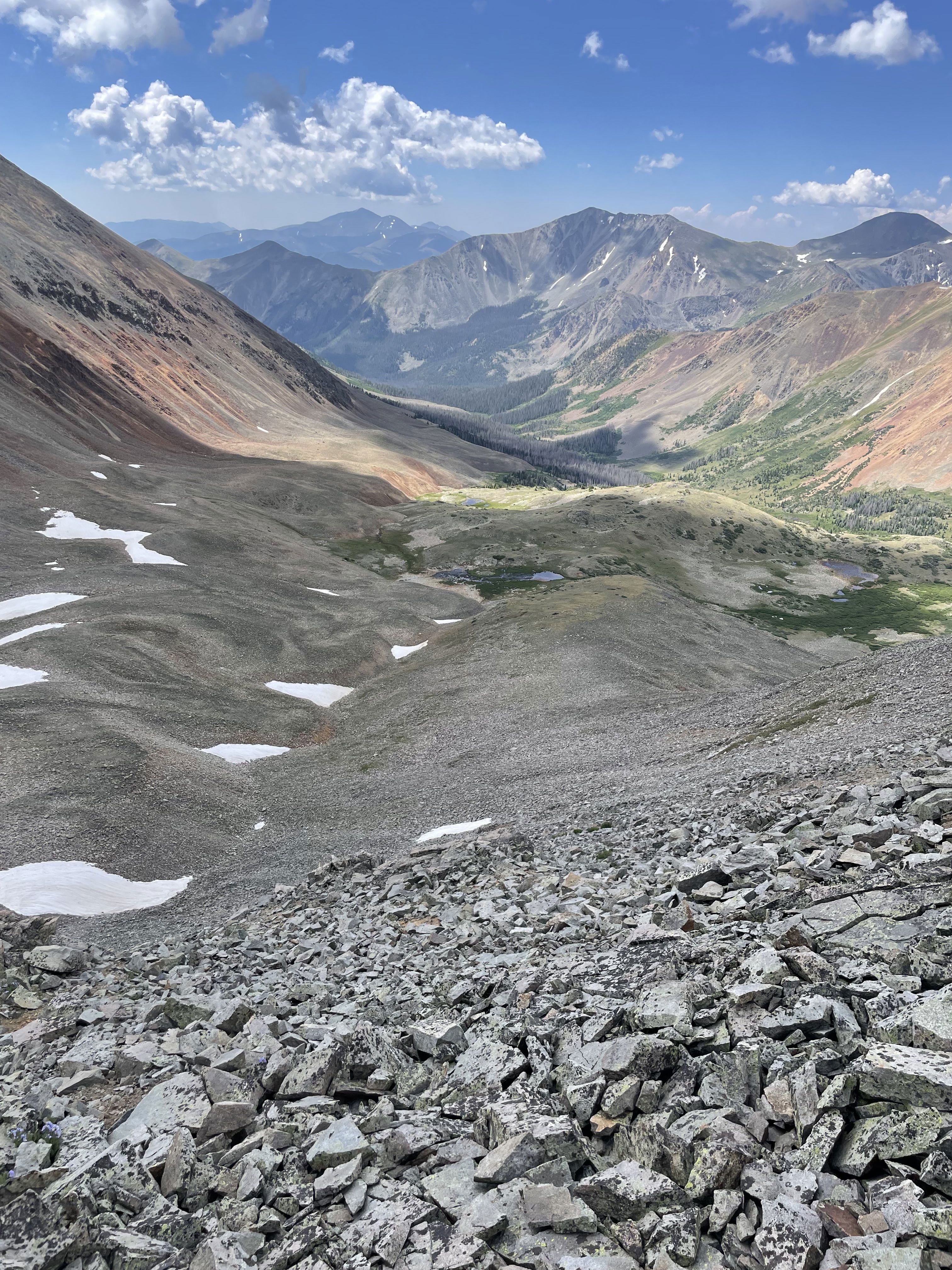
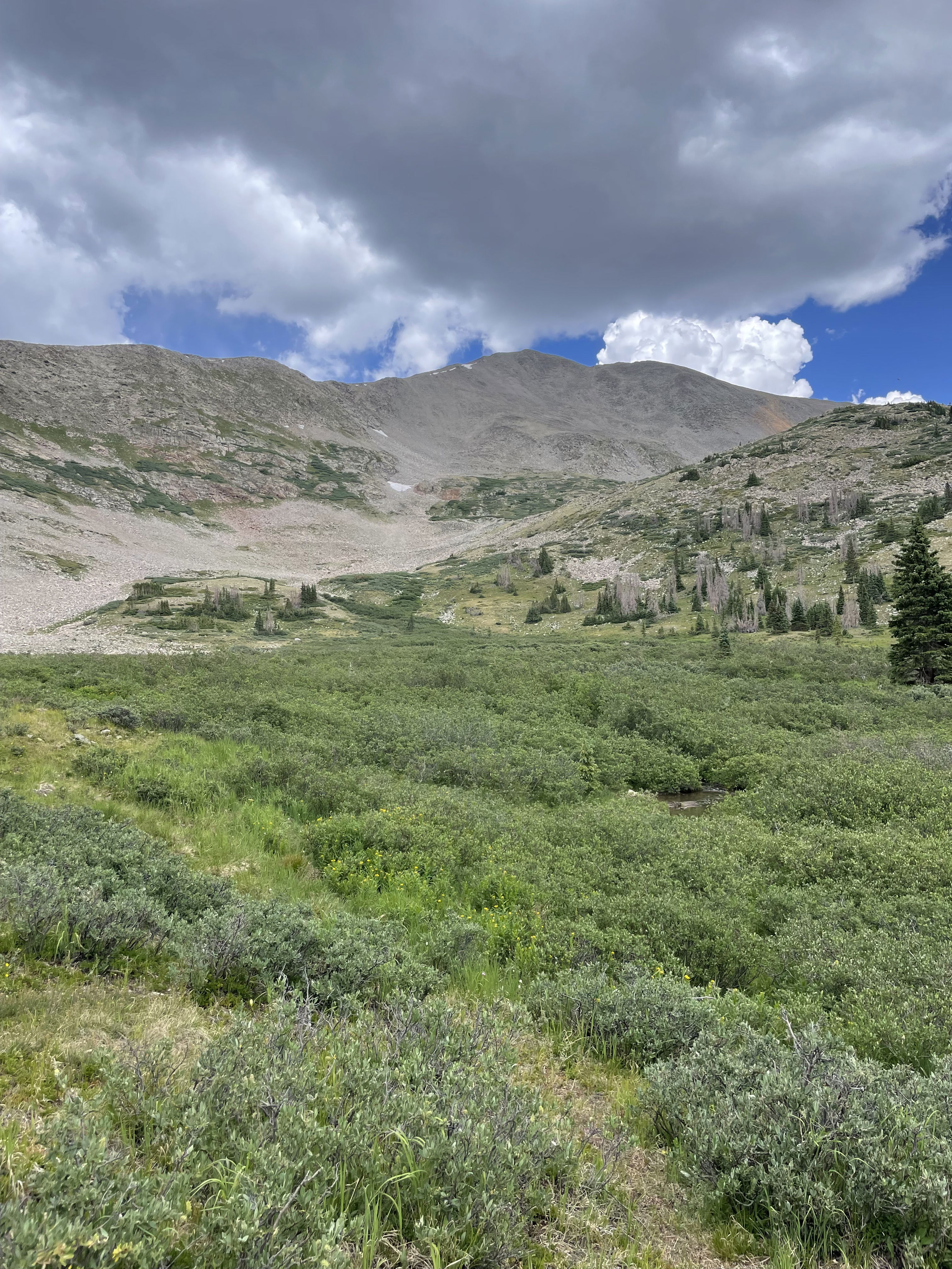
Cyclone Creek Basin
Summit Photo (Grizzly Mountain)
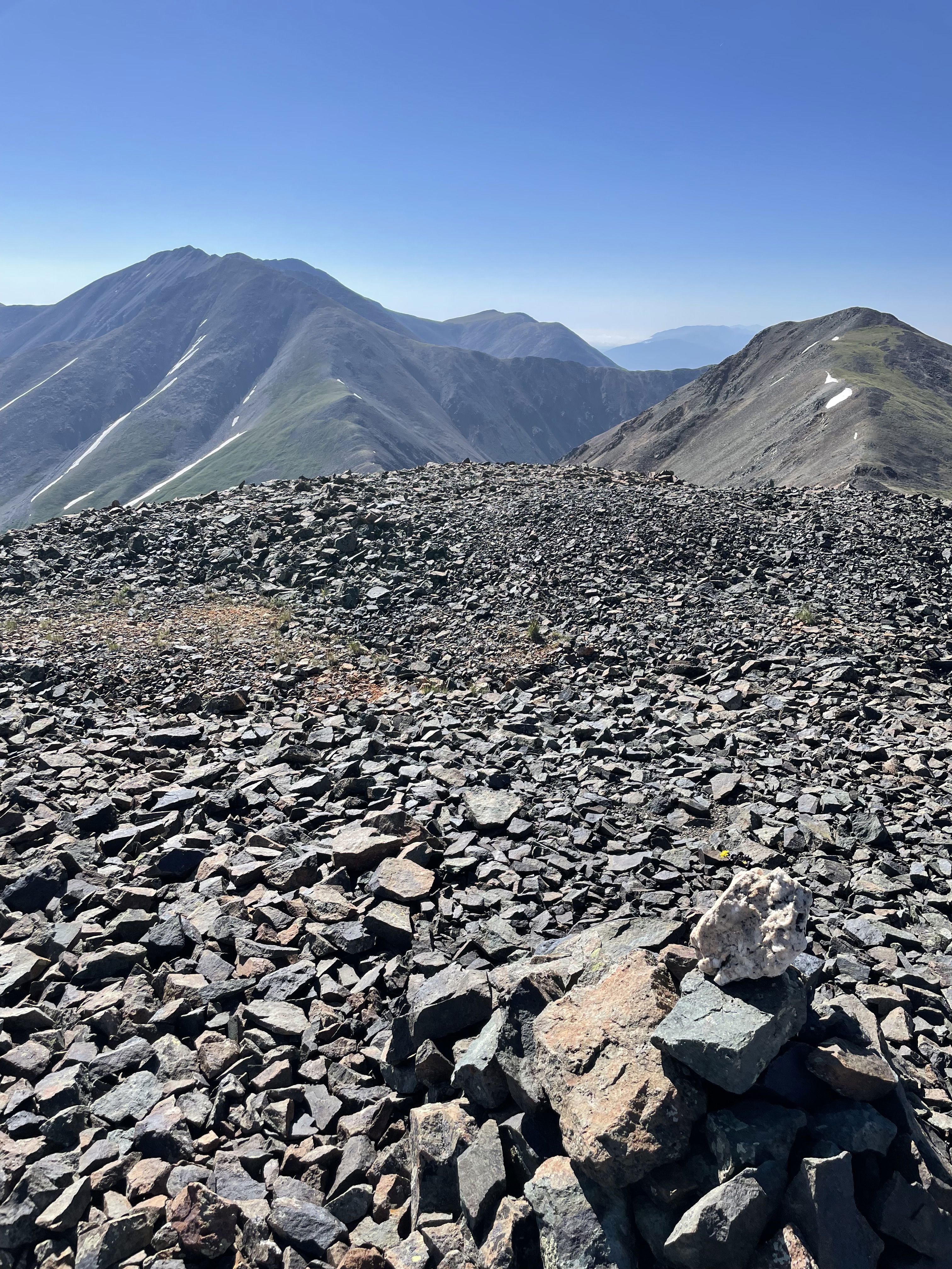
The Lo Carb, Cyclone, and Carbonate ridge in the foreground from Grizzly Mountain.
Baldwin Lake to the northeast.
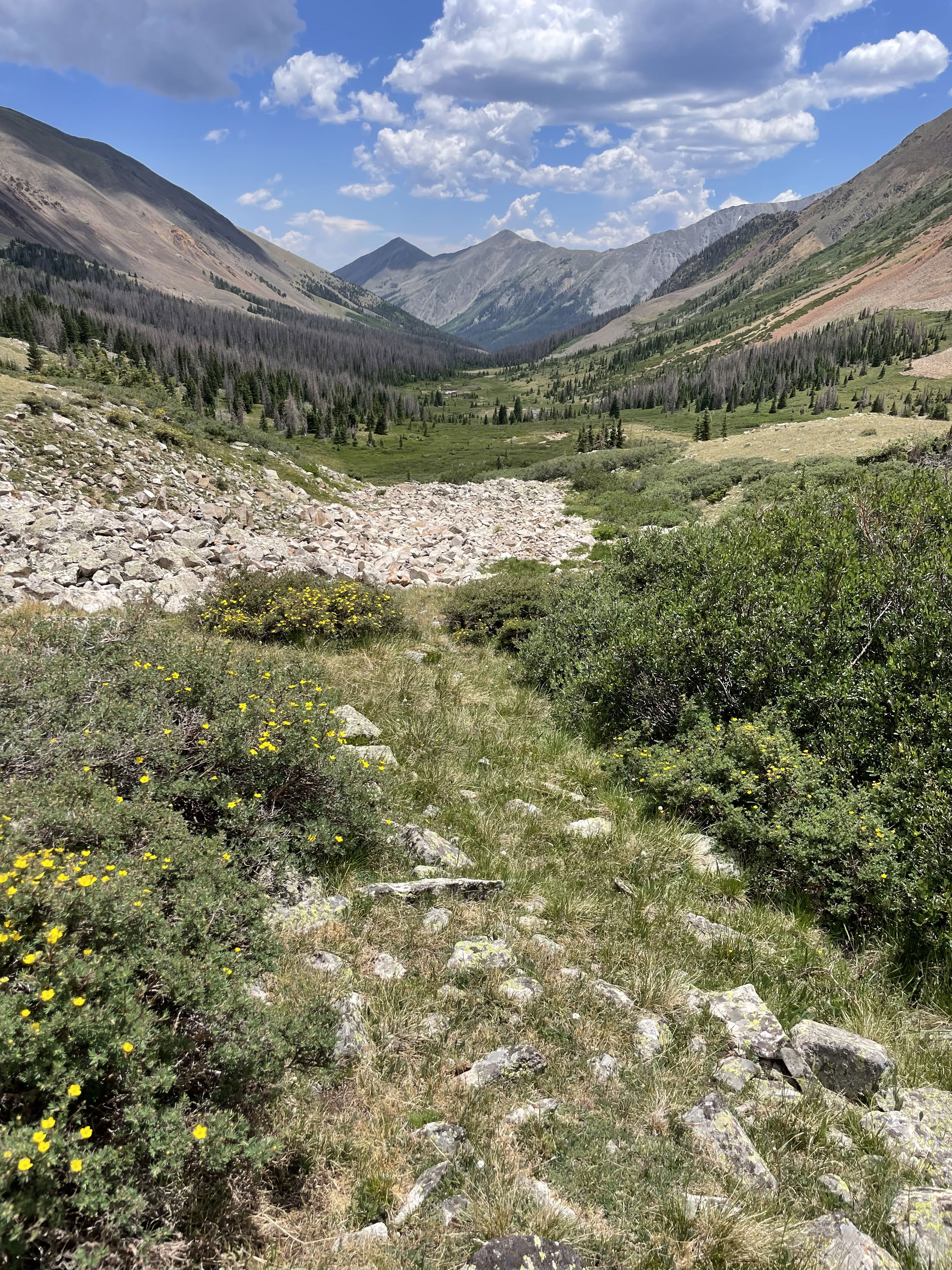
Looking down Cyclone Creek Basin.
Grizzly Mountain from Cyclone Creek Basin.