
Paiute Peak/Mount Audubon/Mount Notabon
Statistics
- Date - 09/10/2021
- Elevation - 13,088'/13,223'/12,706'
- Route - Southeast Gully/West Ridge/Southwest Slopes
- Miles - 9.5
- Elevation Gain - 3,700'
- ACME Mapper - Link
- CalTopo - Link
- Partners - Not Applicable
Description
I have some leave to burn before the end of the year and wasn't too busy at work, so I decided to get some steps in. I went to the Indian Peaks and did a clockwise loop from the Mitchell Lake Trailhead to Mitchell Lake, Blue Lake, Upper Blue Lake, Paiute Peak, Mount Audubon, Mount Notabon, and back to the Mitchell Lake Trailhead. It took me 7 hours to make the loop car-to-car.
Photos
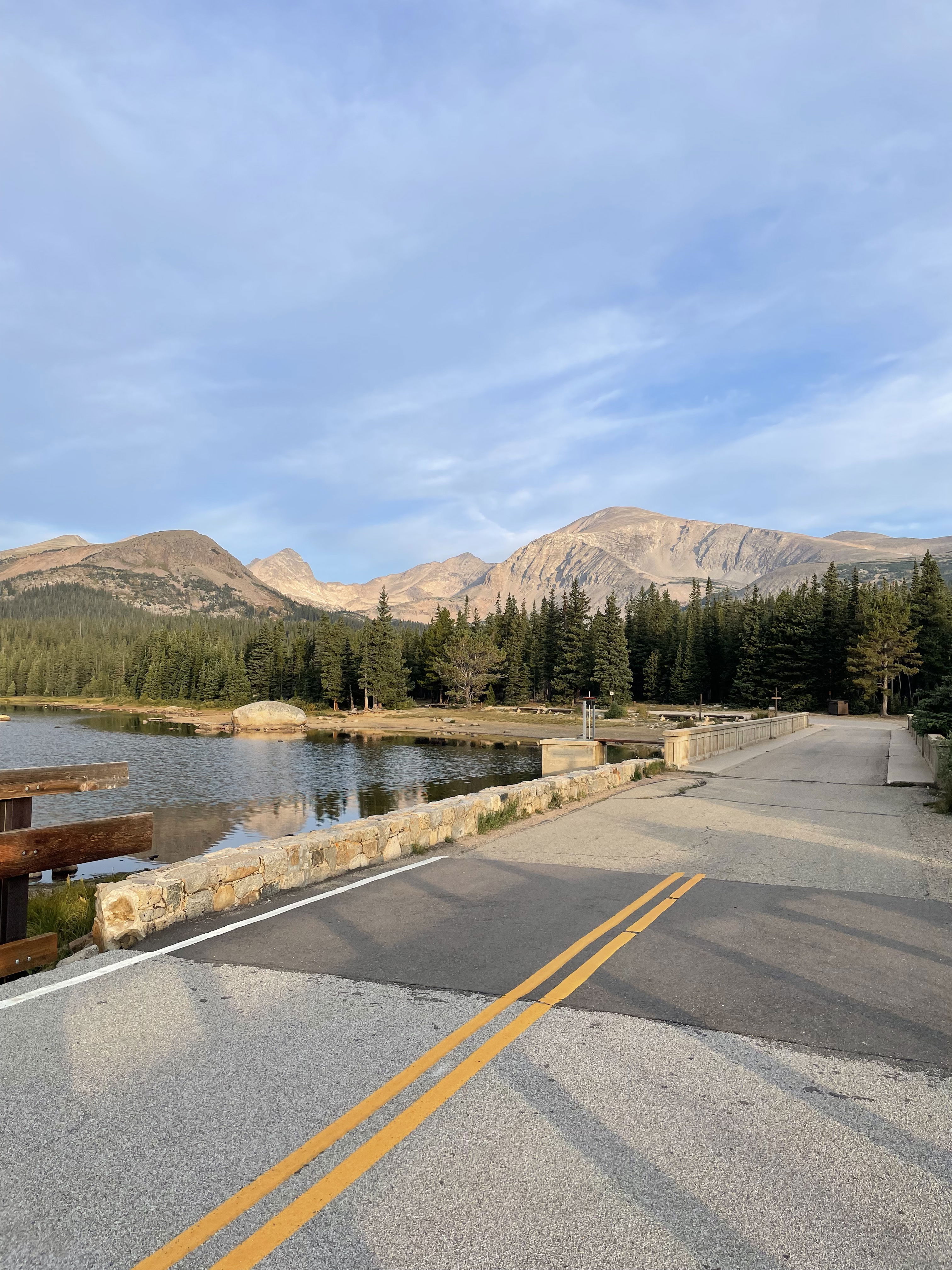
Paiute Peak and Mount Audubon from Brainard Lake.
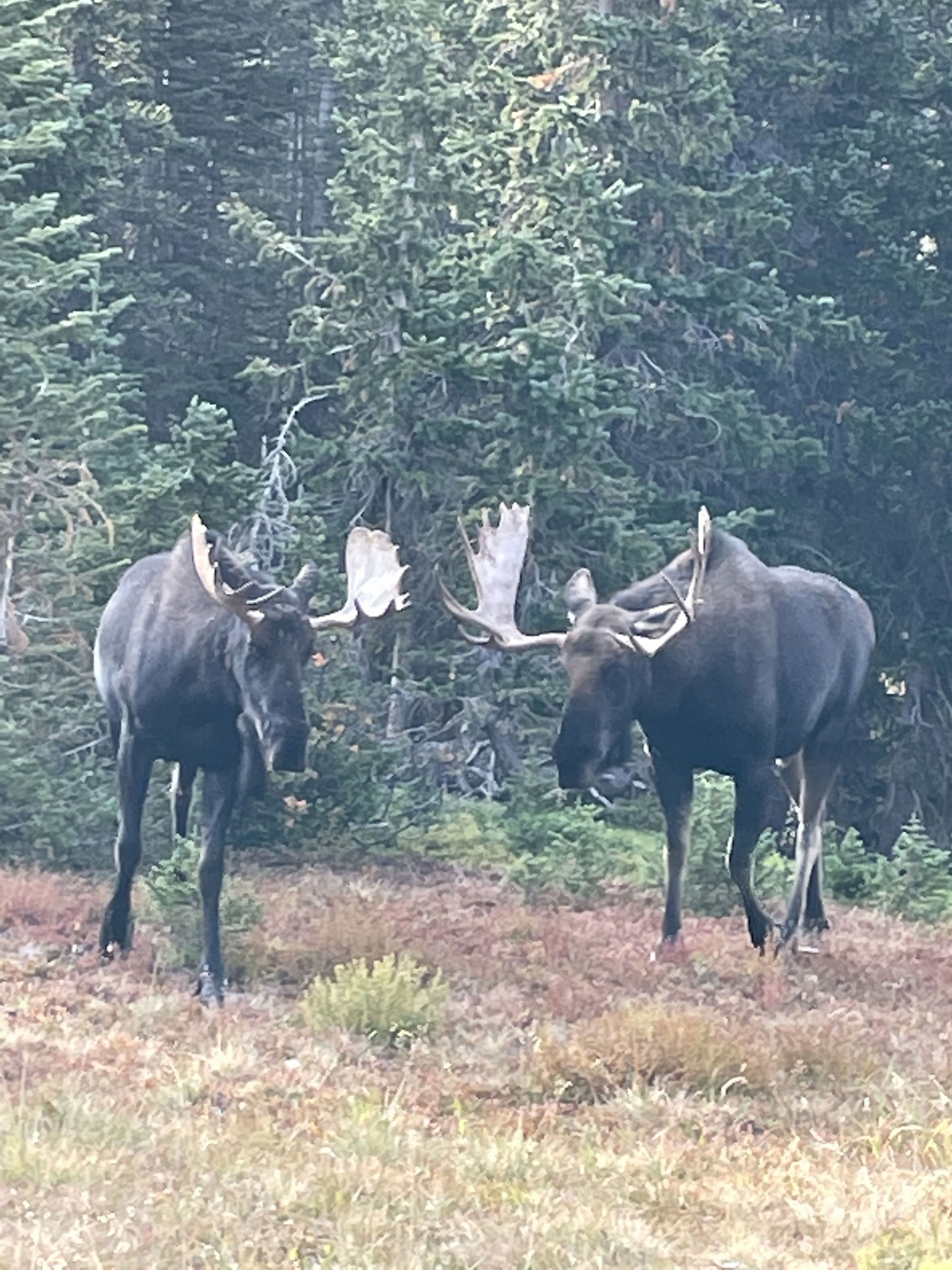
I saw four moose between Mitchell Lake and Blue Lake.
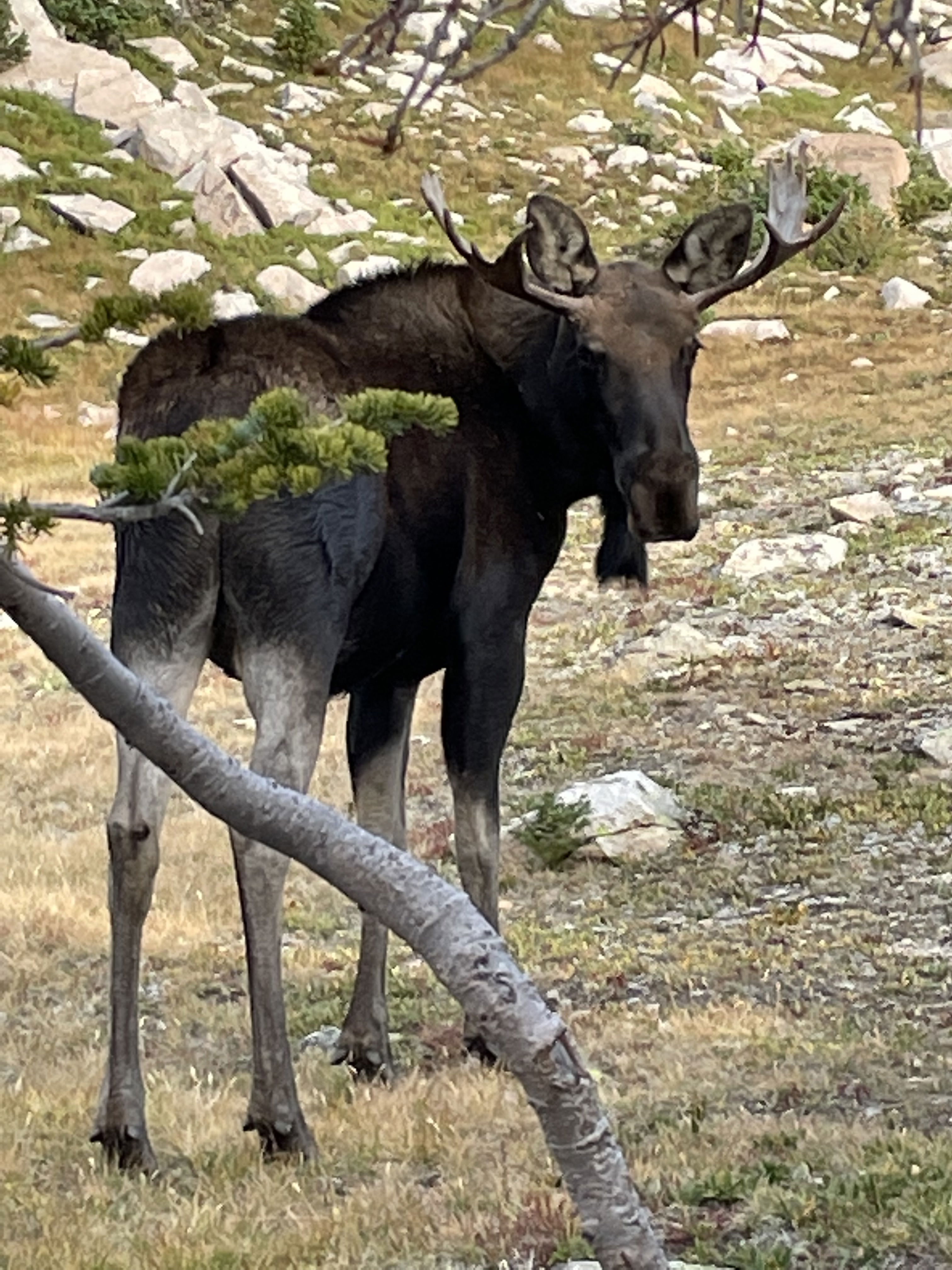
I saw four moose between Mitchell Lake and Blue Lake.
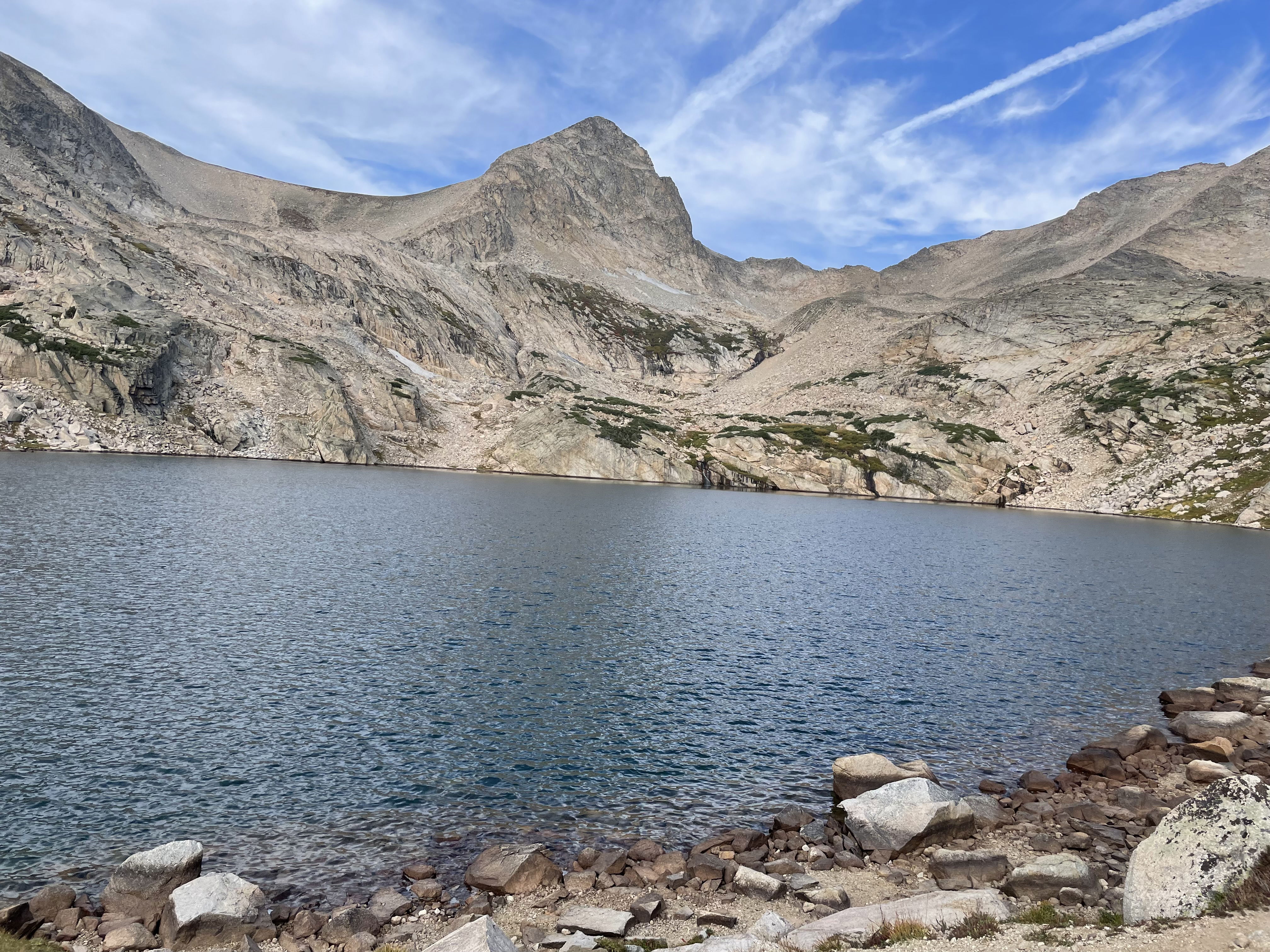
Paiute Peak and Mount Audubon from just below Blue Lake.
Mount Toll and Mitchell Lake
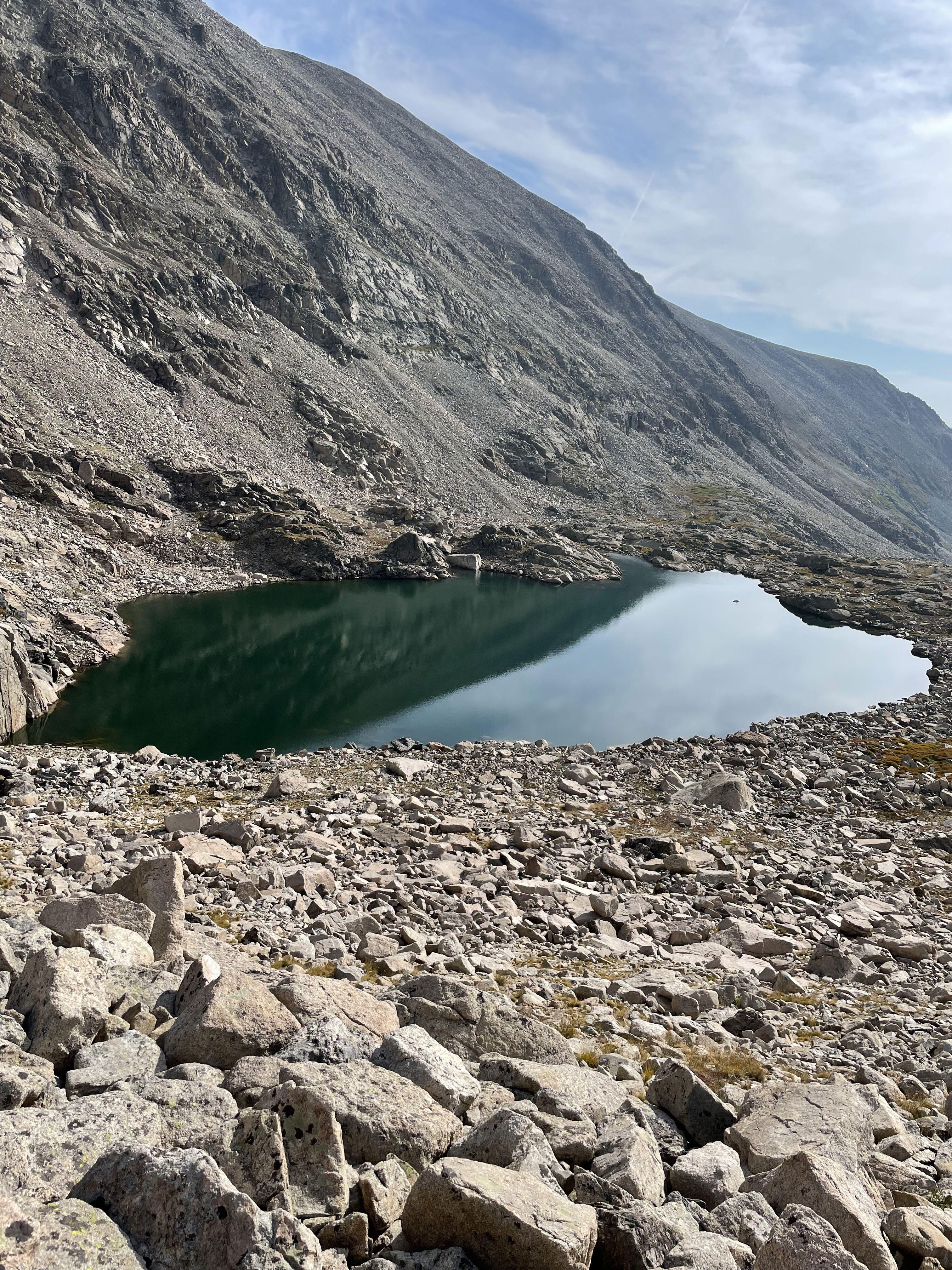
Mitchell Lake
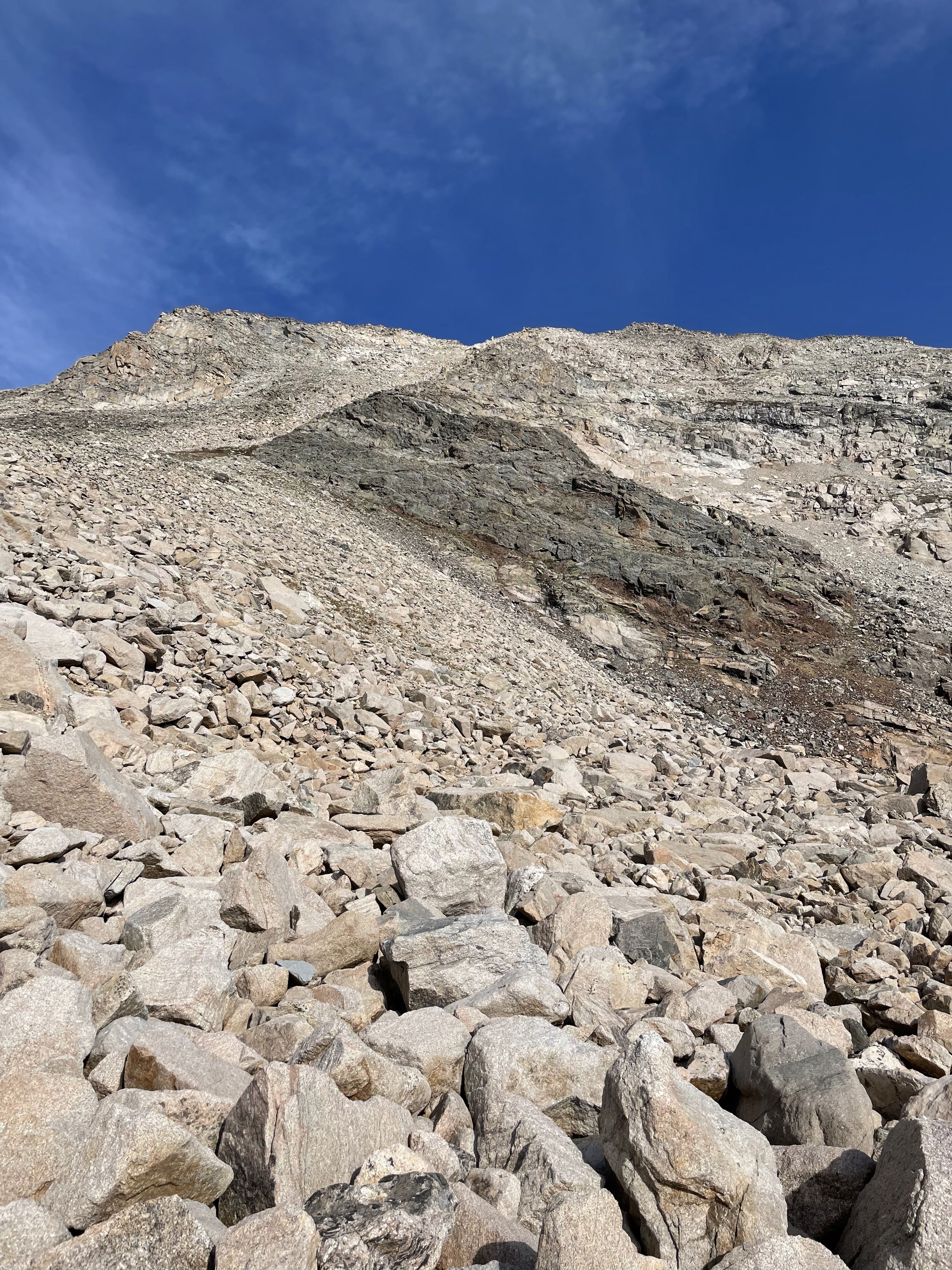
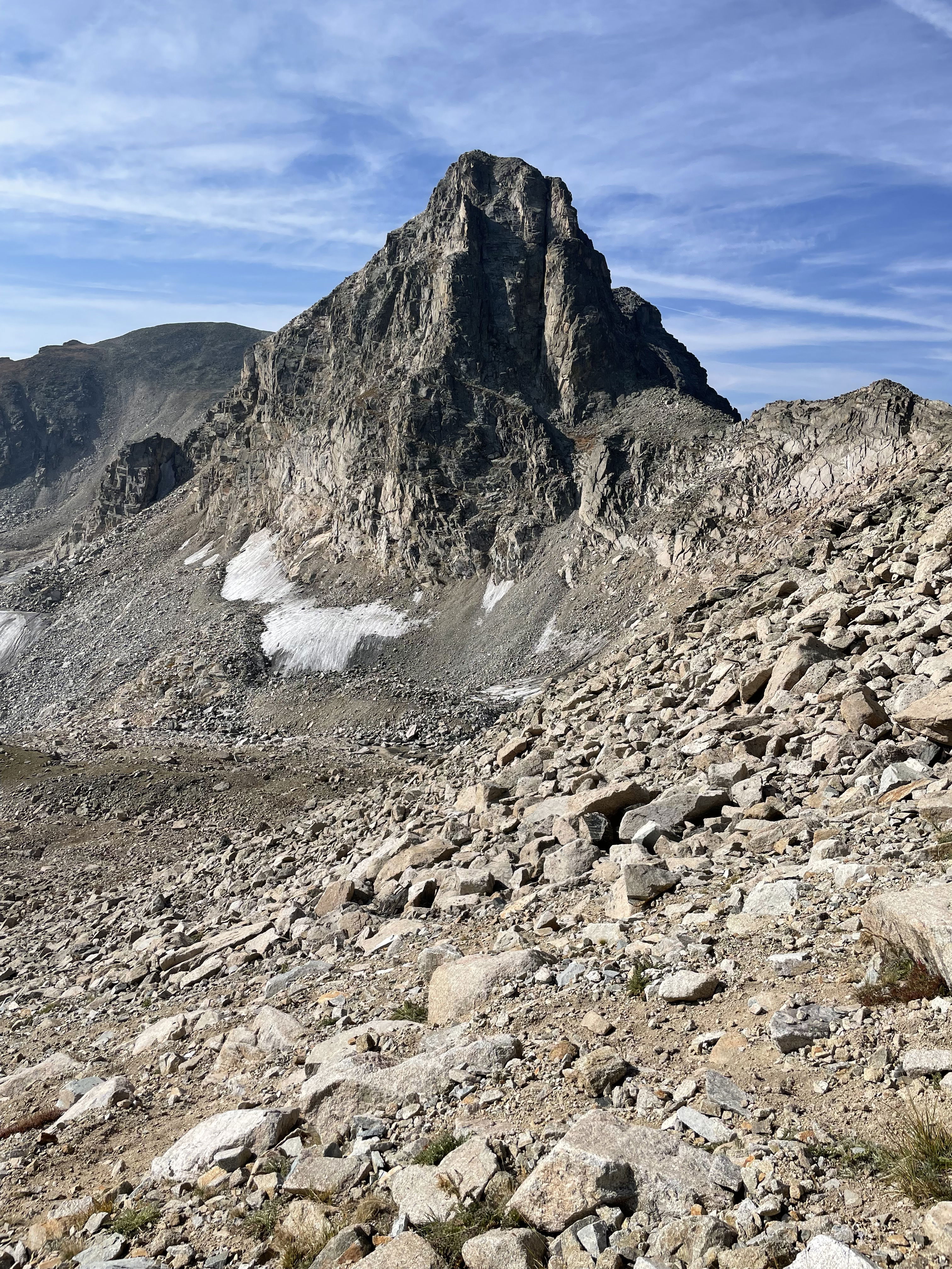
The southeast gully up Paiute Peak.
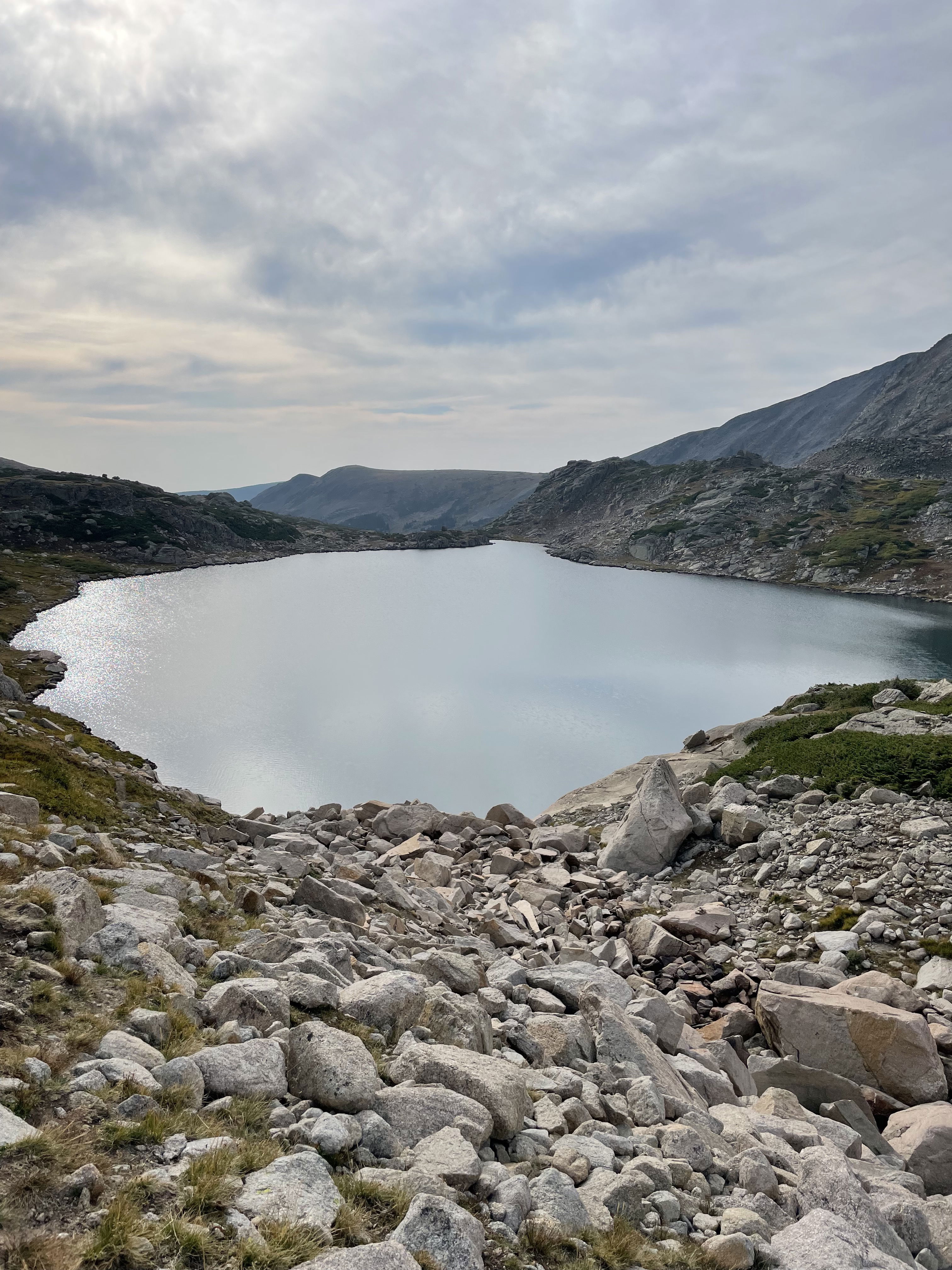
Upper Blue Lake
Mount Toll (I climbed the north couloir of this peak in the spring of 2012 with Kevin Smith and John Balciar.)
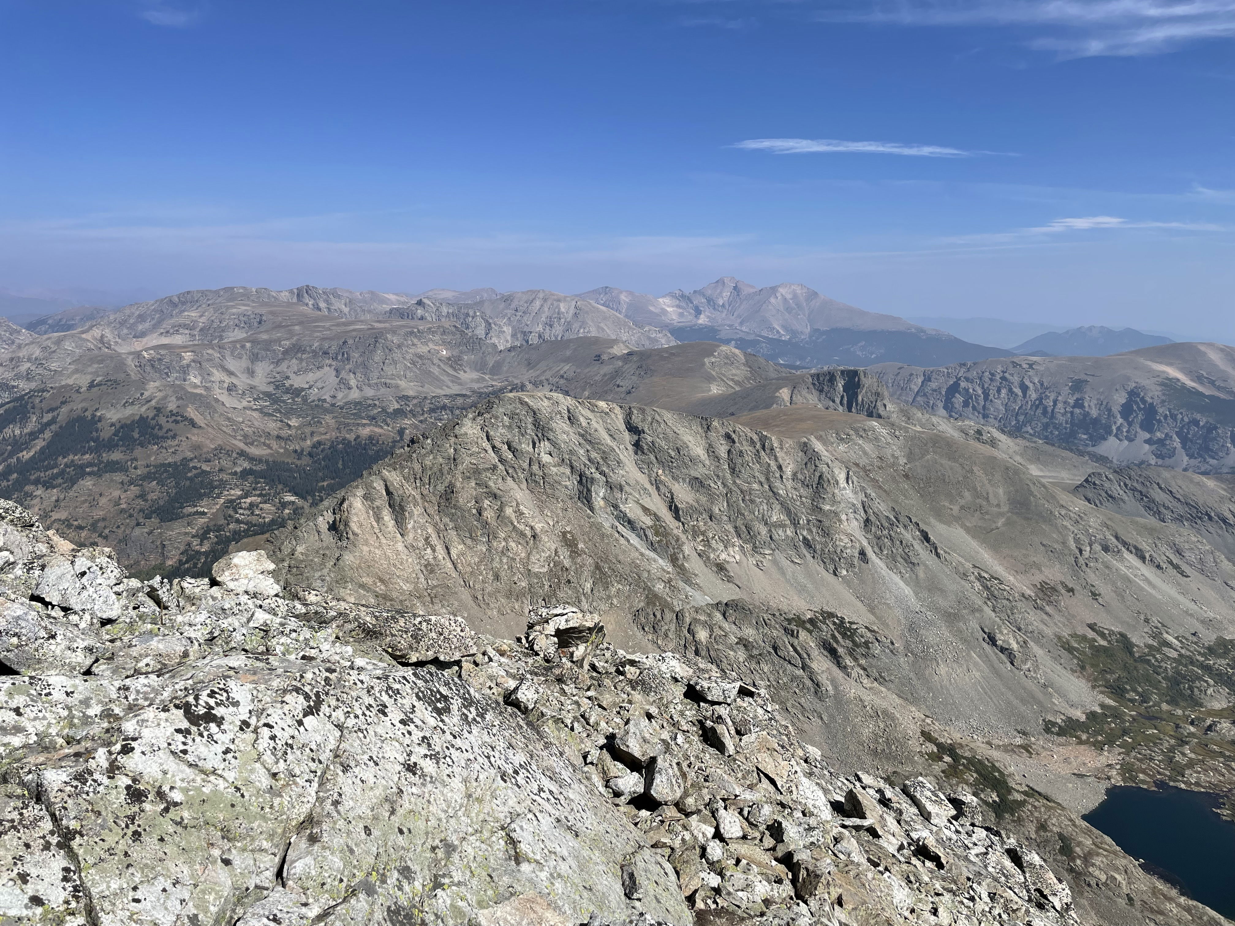
Views to the south from the summit of Paiute Peak.
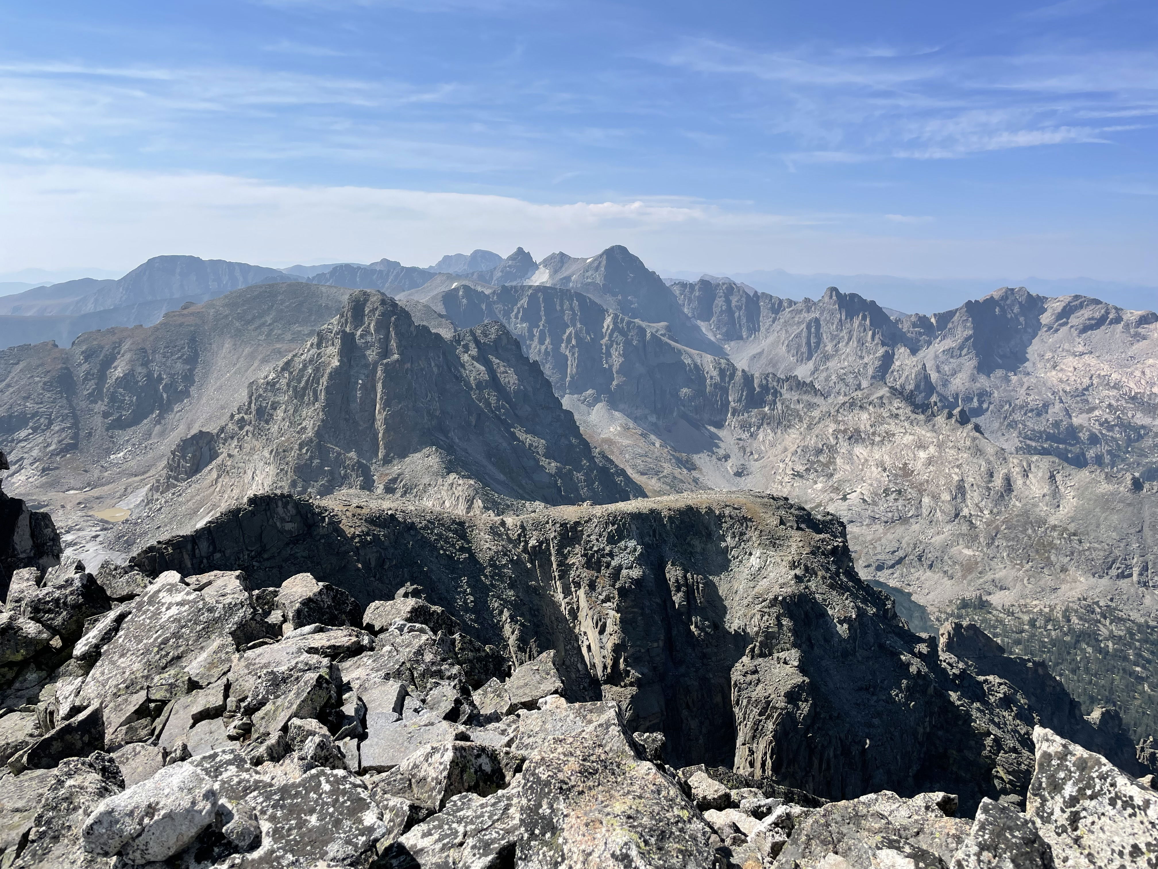
Views to the north towards Longs Peak from the summit of Paiute Peak
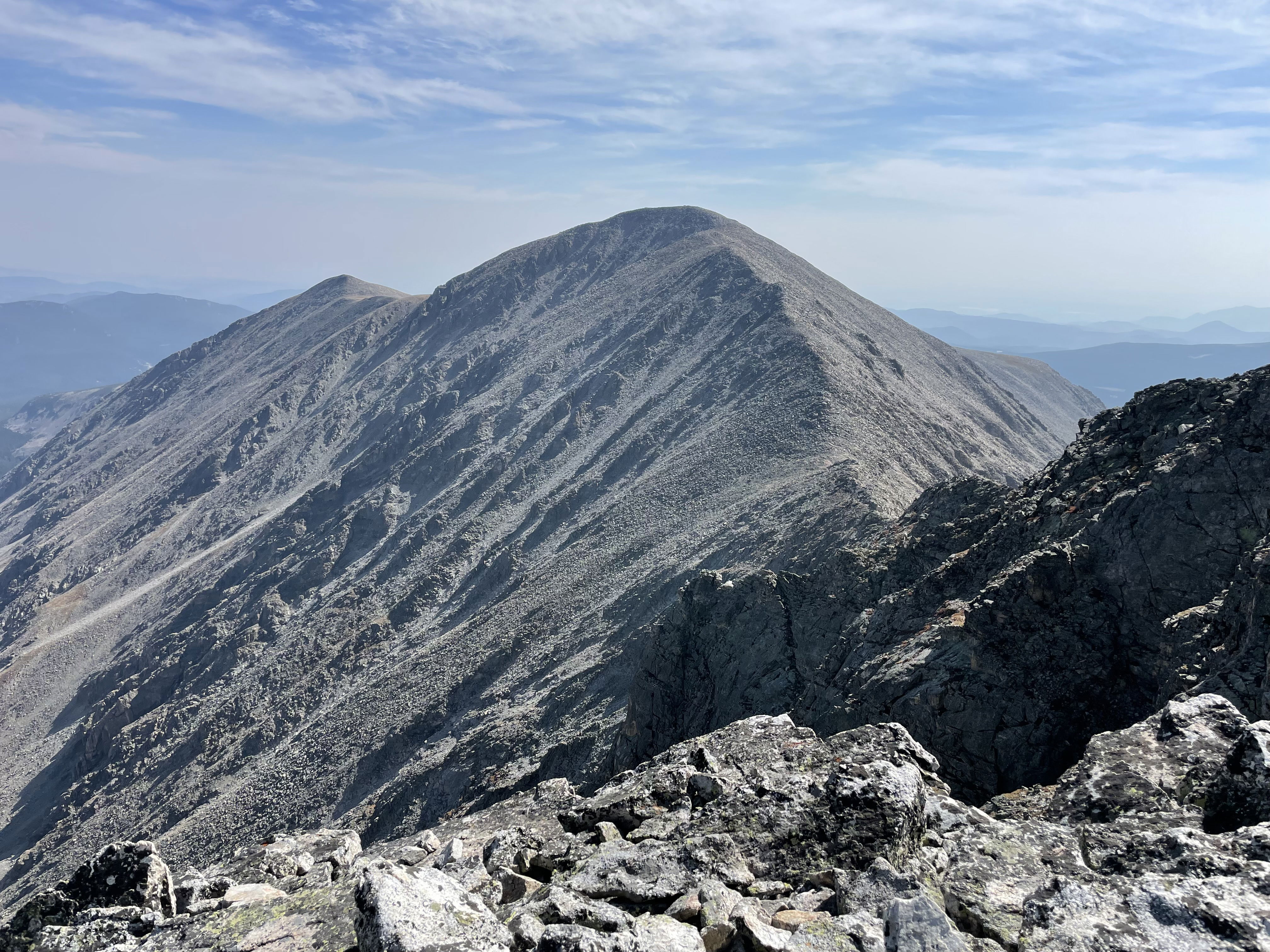
Mount Notabon and Mount Audubon from the summit of Paiute Peak.
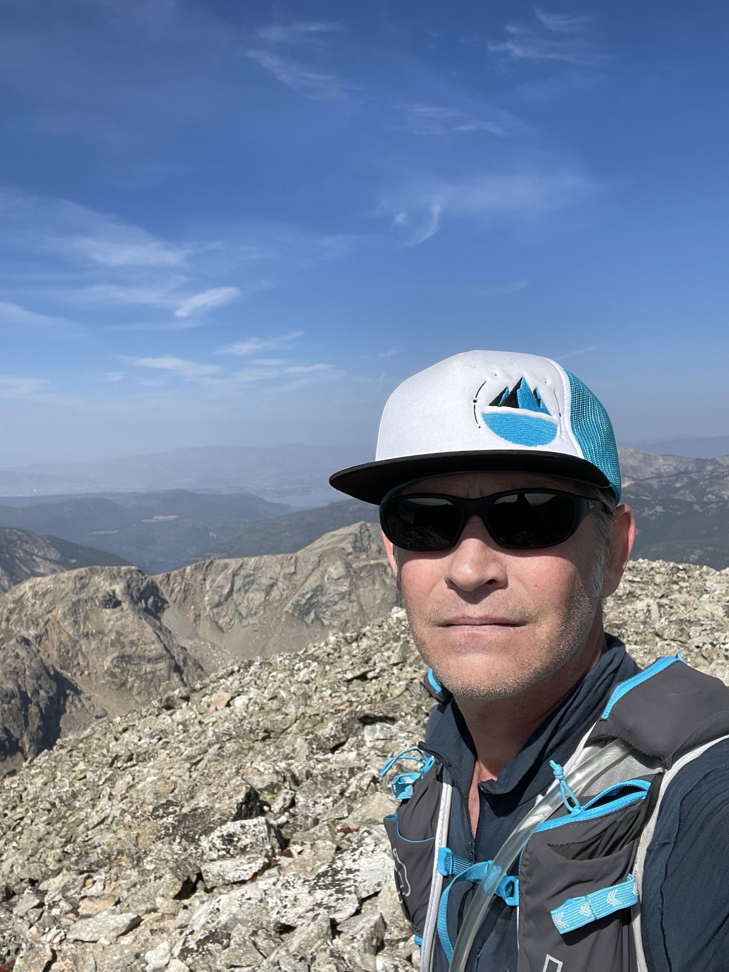
Summit Photo (Paiute Peak)
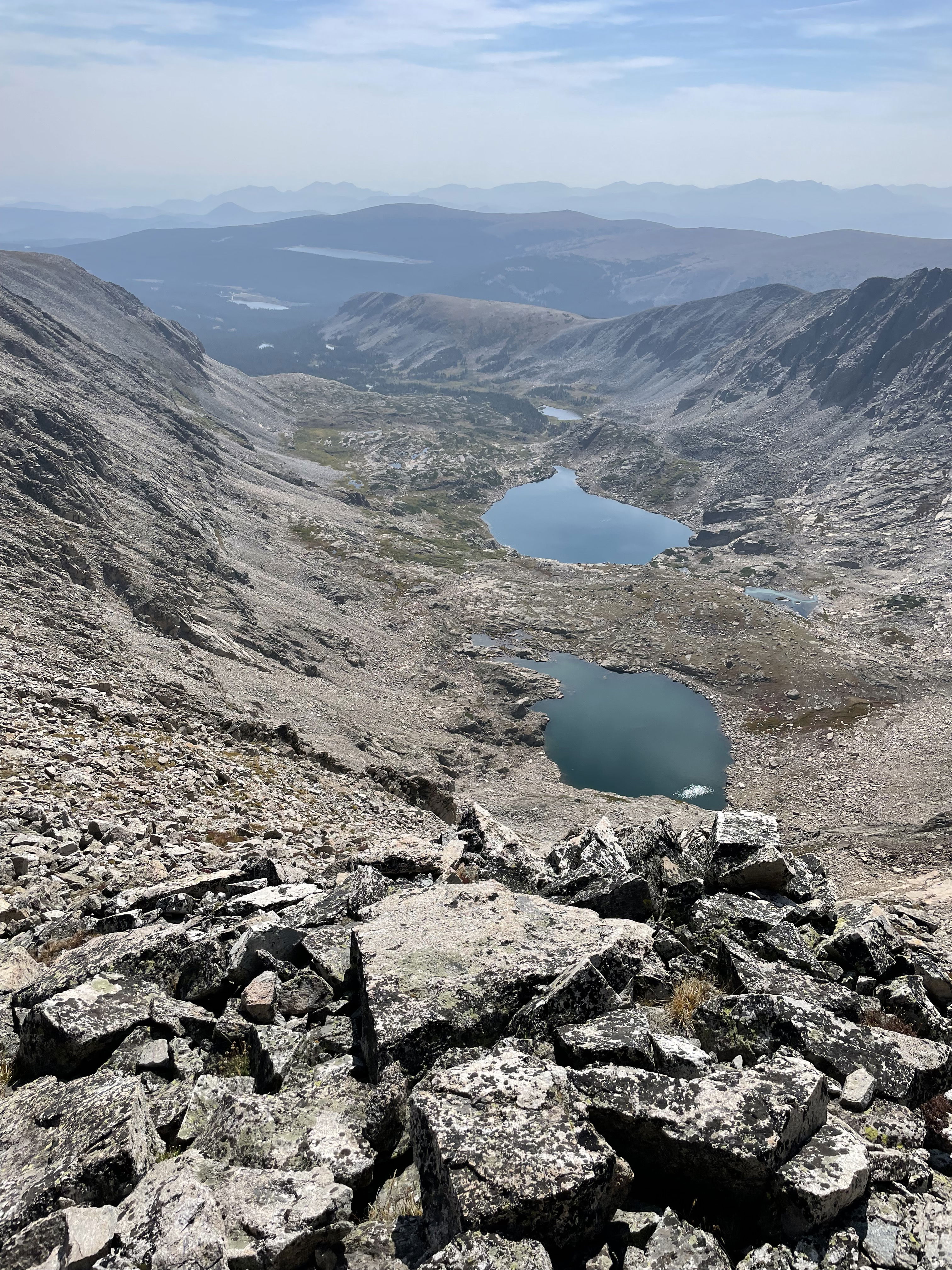
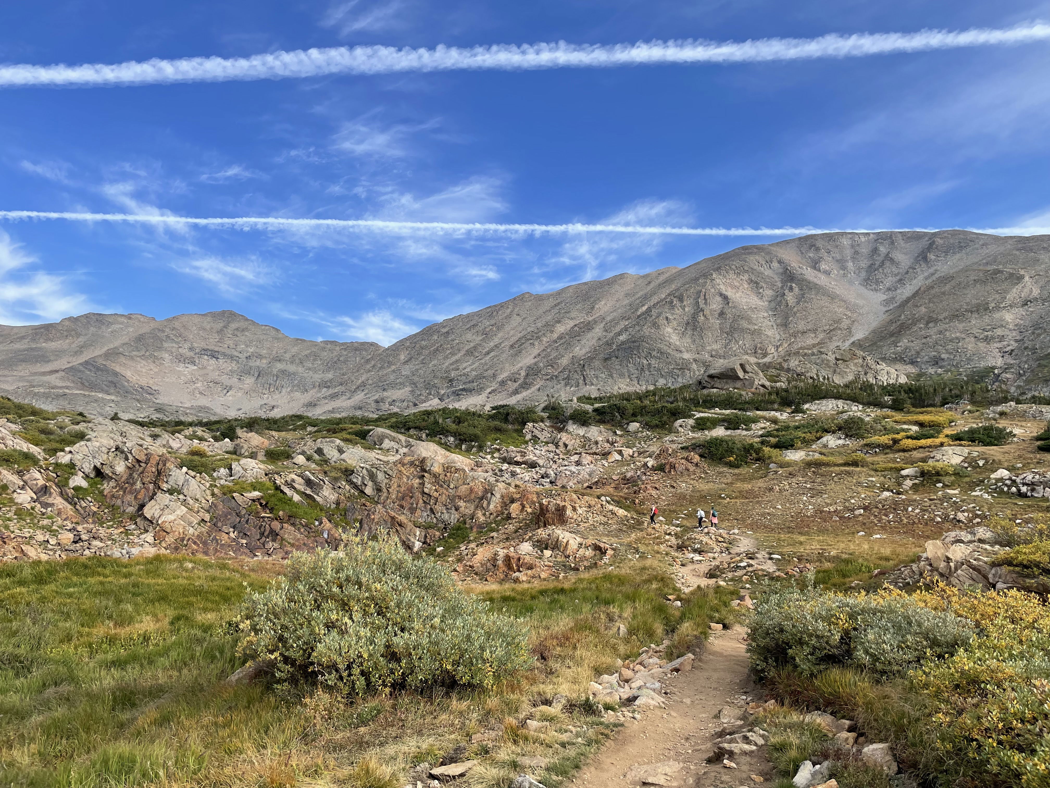
The valley I hiked up to get to Paiute Peak.
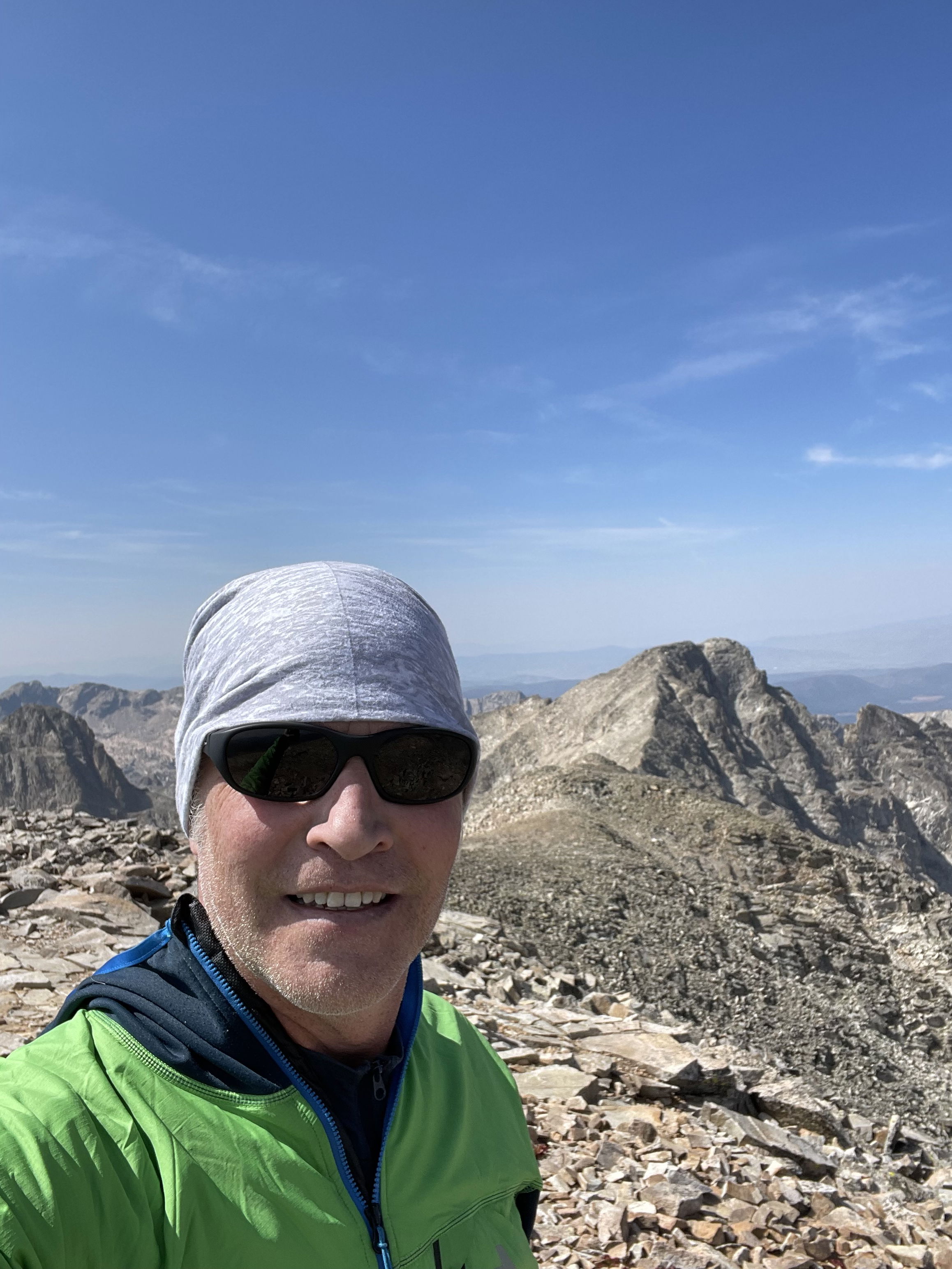
Summit Photo (Mount Audubon) with Paiute Peak in the background.
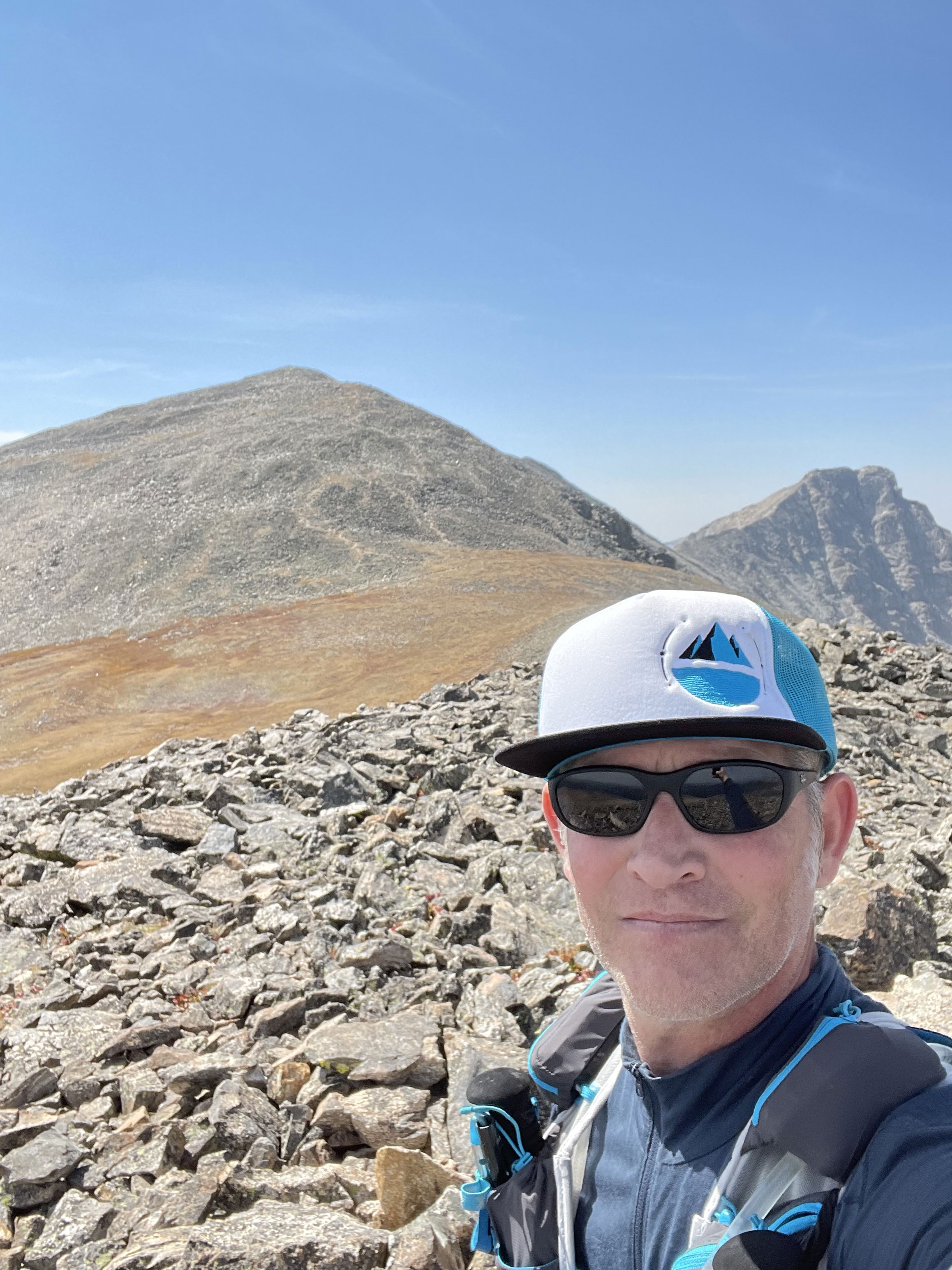
Summit Photo (Mount Notabon) with Mount Audubon and Paiute Peak in the background.