
Mount Arkansas (1)
Statistics
- Date - 05/06/2012
- Elevation - 13,795'
- Route - Moonshine Couloir
- Miles - 5.0
- Elevation Gain - 2,723'
- ACME Mapper - Link
- CalTopo - Link
- Partners - Jeff Shafer
Description
With only a half of a day available to get out, Jeff and I simply went up to Fremont Pass south of Copper Mountain and made a quick jaunt up Mount Arkansas and the Moonshine Couloir. It could have been quicker had I paid a little more attention on the approach, but we eventually climbed the couloir and topped out on Mount Arkansas. Instead of cutting southwest about a mile and a half up the road, we hiked the entire basin below Democrat, Buckskin, and Tweto before circling around and reaching the base of the couloir below Mount Arkansas. We descended the north ridge back to the trailhead.
Photos
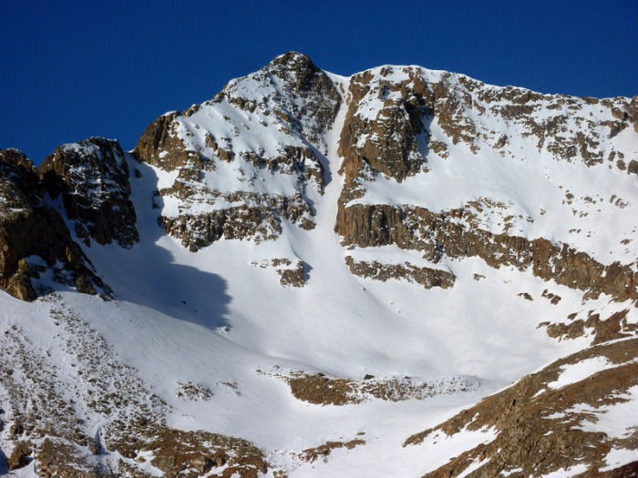 Mount Arkasas and the Moonshine Couloir
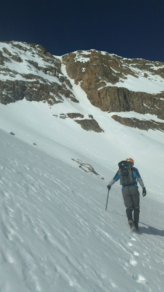 Approach
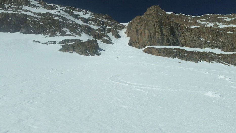 Apron
Apron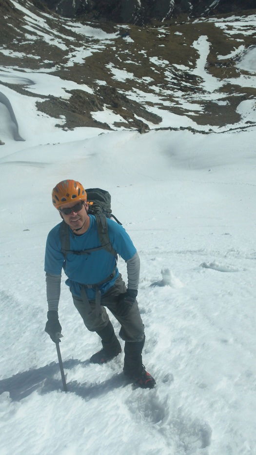 Jeff
Jeff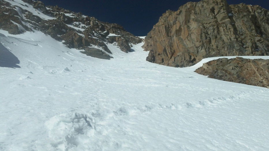 Moonshine Couloir
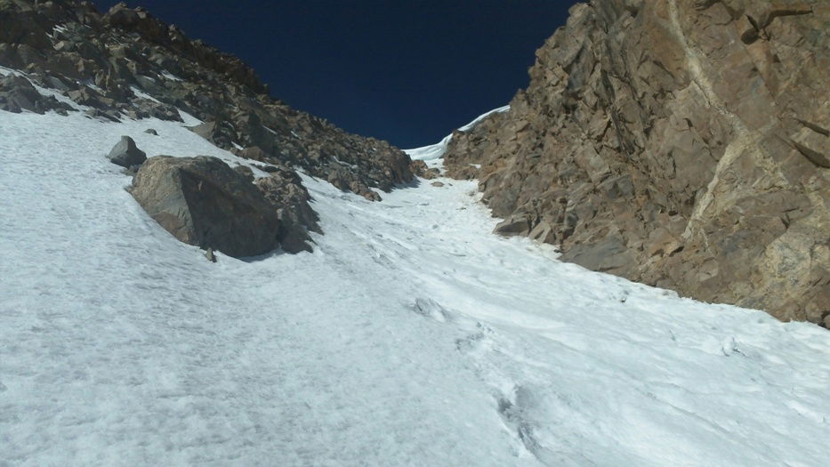 Moonshine Couloir
 Jeff looking down at our progress.
 Cornice
 Summit Photo
 Jeff on the summit of Mount Arkansas.