
Mount Edwards (1)
Statistics
- Date - 07/28/2006
- Elevation - 13,850'
- Route - West Ridge
- Miles - 8.0
- Elevation Gain - 3,380'
- ACME Mapper - Link
- CalTopo - Link
- Partners - Not Applicable
Description
I should have taken the day off in preparation for tomorrow, but I decided to head out for a hike anyway. I didn't want to do too much scrambling or drive very far, so Mount Edwards, a Colorado Centennial Peak, would do. I simply started from Stevens Gulch Trailhead and followed the Grays Trail to Grays Peak's east ridge. From there I had to drop some elevation to the Grays-Edwards saddle to hike up Mount Edwards.
The week of hiking was wearing on me, so I took a leisurely pace up Stevens Gulch and made the summit in 2 hours and 35 minutes. The ridge is somewhat undulating with numerous ups and downs. You can stay on the ridge crest for the entire way if you want, but there were a few user trails to the north on occasion that skirted some of the points. The hike out was uneventful, but annoying having to gain 300'-400' of elevation on the way. Once again, I moved fairly slow and only picked up 20 minutes from my time up. Grays Peak and Torreys Peak were very busy, but I didn't encounter anyone on Mount Edward's west ridge.
Photos
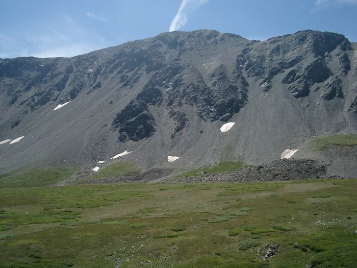 Mount Edwards
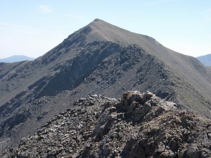 Mount Edwards West Ridge
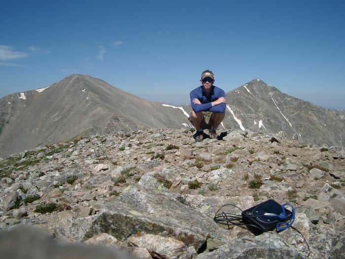 Summit Photo
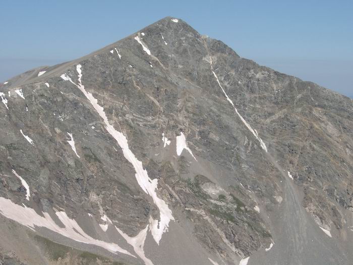 Torreys Peak
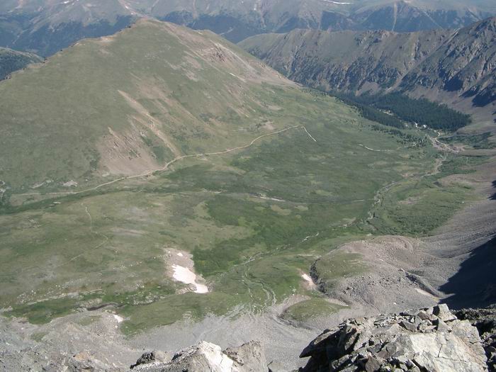 Kelso Mountain
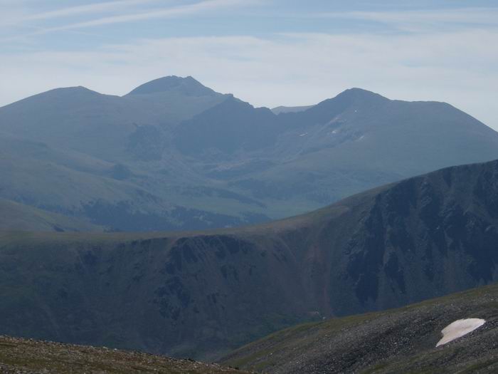 Mount Evans and Mount Bierstadt