
Handies Peak (1)/Whitecross Mountain
Statistics
- Date - 08/10/2005
- Elevation - 14,048'/13,542'
- Route - East Slopes/Northeast Ridge
- Miles - 7.6
- Elevation Gain - 4,212'
- ACME Mapper - Link
- CalTopo - Link
- Partners - Daniel Robbins
Description
After eating a calzone at Poker Alice’s, I met up with Dan Robbins from Idaho near the Grizzly Gulch/Silver Creek Trailhead. We set up camp and prepared for the next day. We awoke to overcast skies, but stuck with our plan and started up the trail to Handies Peak at 7:00. We took a quick break after 50 minutes, and the weather appeared to be holding. The trail flattened out as we emerged from tree line to acceptable views of Handies Peak. We took another break on the shelf northeast of the peak. We passed a second group of hikers on our way to the steeper section of the route and topped out after three hours.
After 30 minutes on top, we descended the north ridge and continued over to Whitecross Mountain. There was a bit of class 2+ scrambling on the ridge. It took 1 hour and 15 minutes to make the traverse, and we only stayed on the summit for 5 minutes before weather deteriorated similar to the previous day. We descended off the southeast slopes of Whitecross Mountain to the standard trail and back to the trailhead. It was a 6 hour and 30 minute day with a combined time of 35 minutes on the summits. We returned to camp, ate some salty snacks, and took a quick nap. After an hour, we woke up and ate a huge portion of mashed potatoes. We hung out for a while before preparing for day three and going to sleep. I started Aron Ralston’s Between a Rock and a Hard Place just prior to my trip, so I was able to read a chapter or two each night before falling asleep. The sky was never clear all night, and we were both skeptical about what to expect in the morning.
Photos
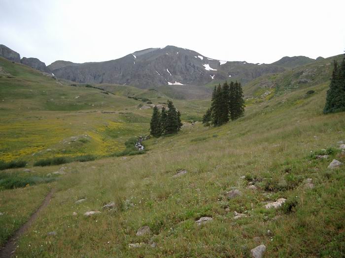 Handies Peak
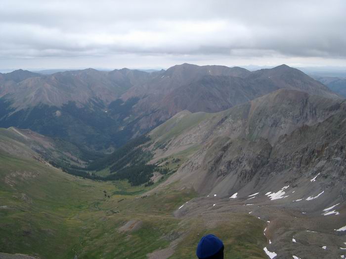 Redcloud Peak, Sun Dog, and Sunshine Peak
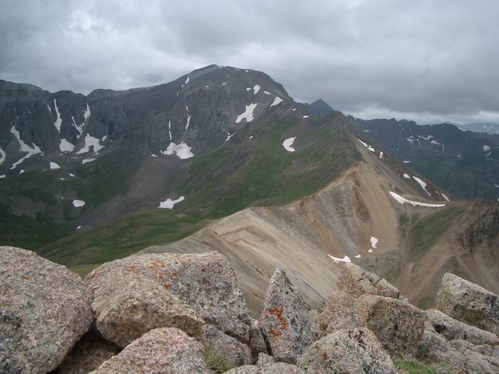 Handies Peak from Whitecross Mountain