
Point 13626
Statistics
- Date - 08/01/2025
- Elevation - 13,626'
- Route - Southeast Face
- Miles - 8.2
- Elevation Gain - 4,166'
- ACME Mapper - Link
- CalTopo - Link
- Partners - Not Applicable
Description
After taking a weekend off for a family event, I was back hiking a Colorado Bi-Centennial Peak. Point 13626 has been remeasured at 13,627' and although the mountain gained a foot of elevation, its rank actually dropped from 180 to 181 due to other changes. Nevertheless, Point 13626 sits just west of 14er Mount Princeton. I car camped at the Alpine Cemetary the night before and then utilized Grouse Canyon to access the peak.
I was surprised to find a very well-defined trail all the way to a meadow around 11,000'. Beyond this open area, the hiking was cross-country but never very difficult or overgrown. You simply follow open spaces to 11,400' where you make a slight right turn northeast to gain Point 13626's southeast face. In hindsight I feel it would have been easier to continue up the drainage until you are due east of the peak and take more low angle terrain to the summit.
I reached the summit after 4 hours and 5 minutes of hiking. I spent 20 minutes on top and then returned to the trailhead in 1 hour and 50 minutes for a car-to-car time of 6 hours and 15 minutes.
Photos
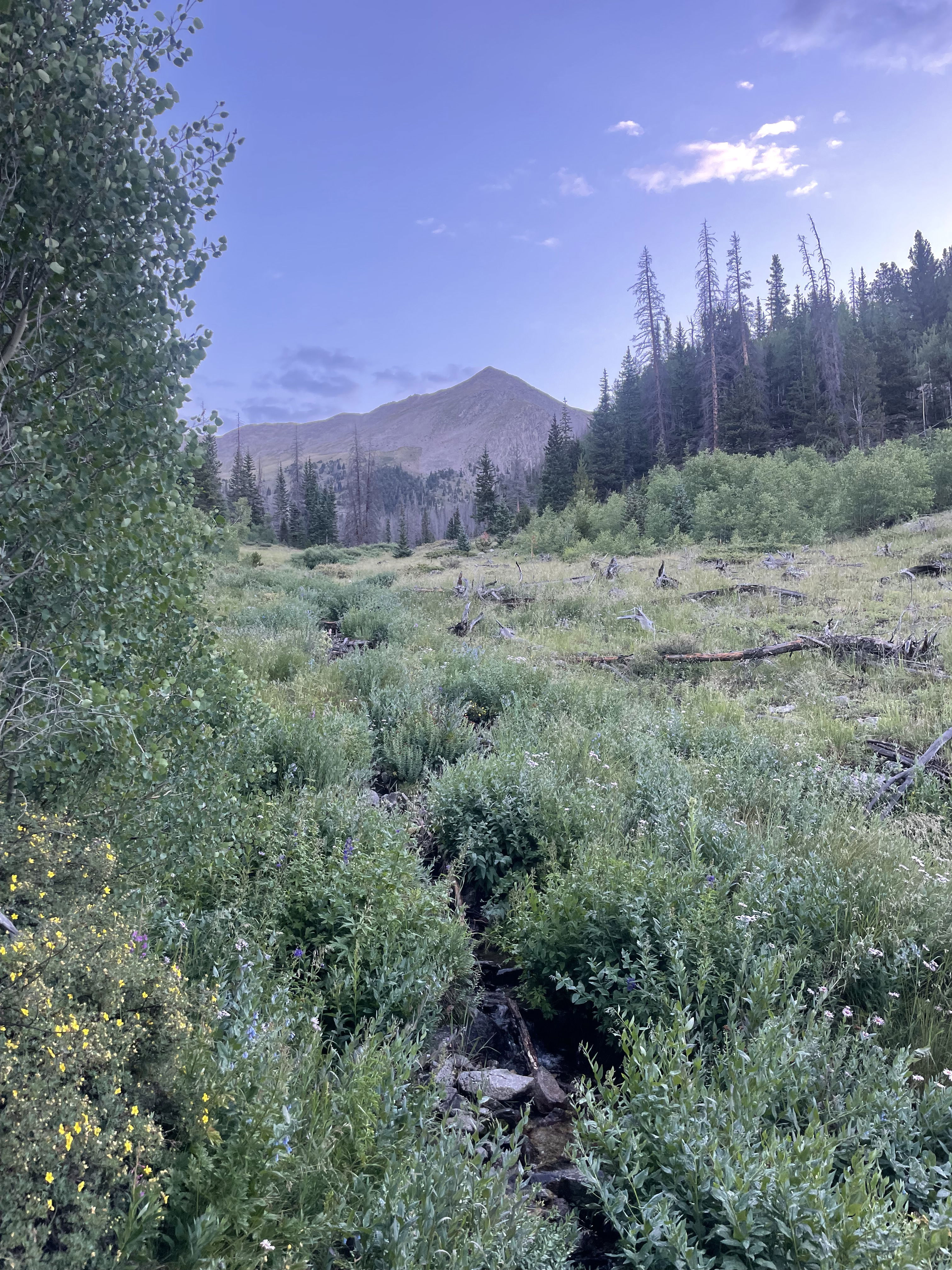
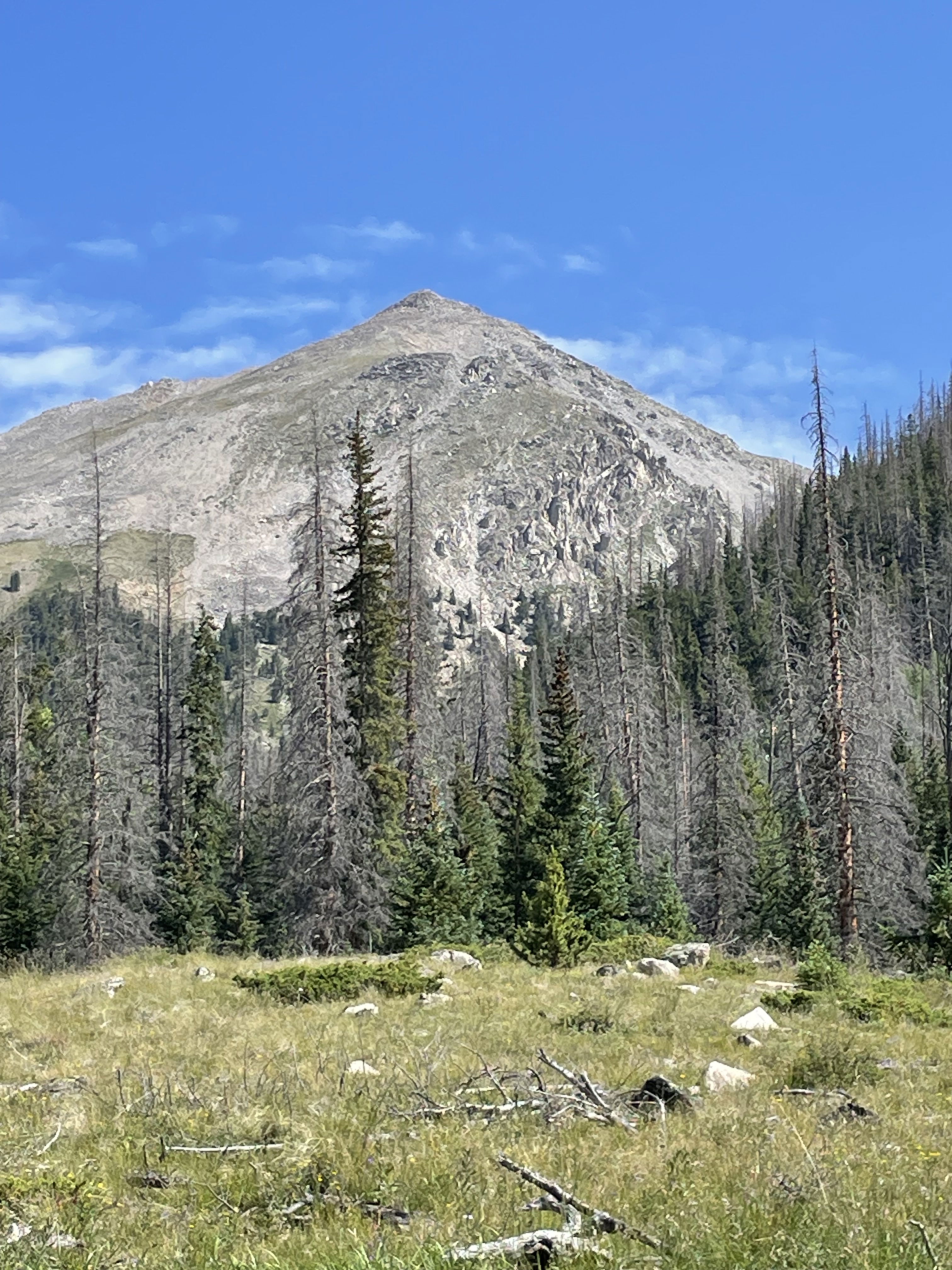
My first good look at Point 13626.
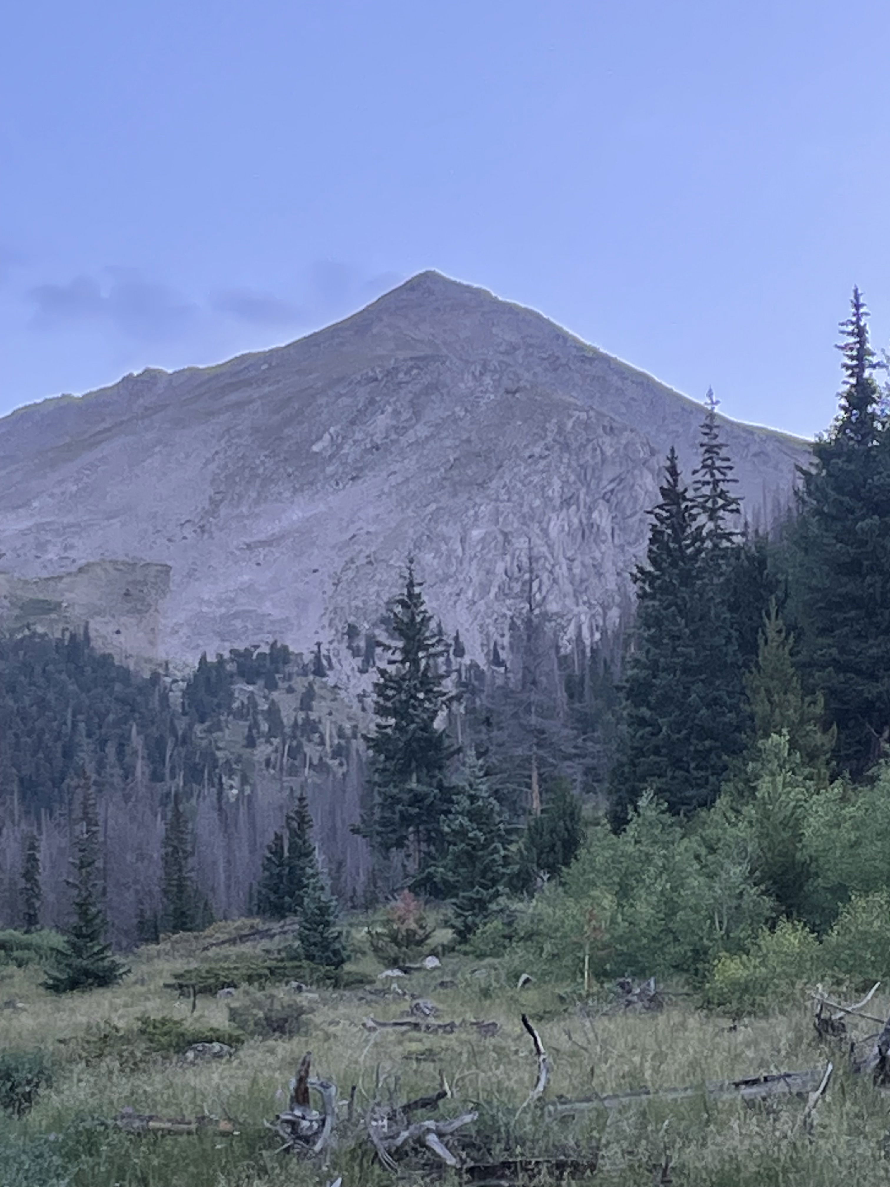
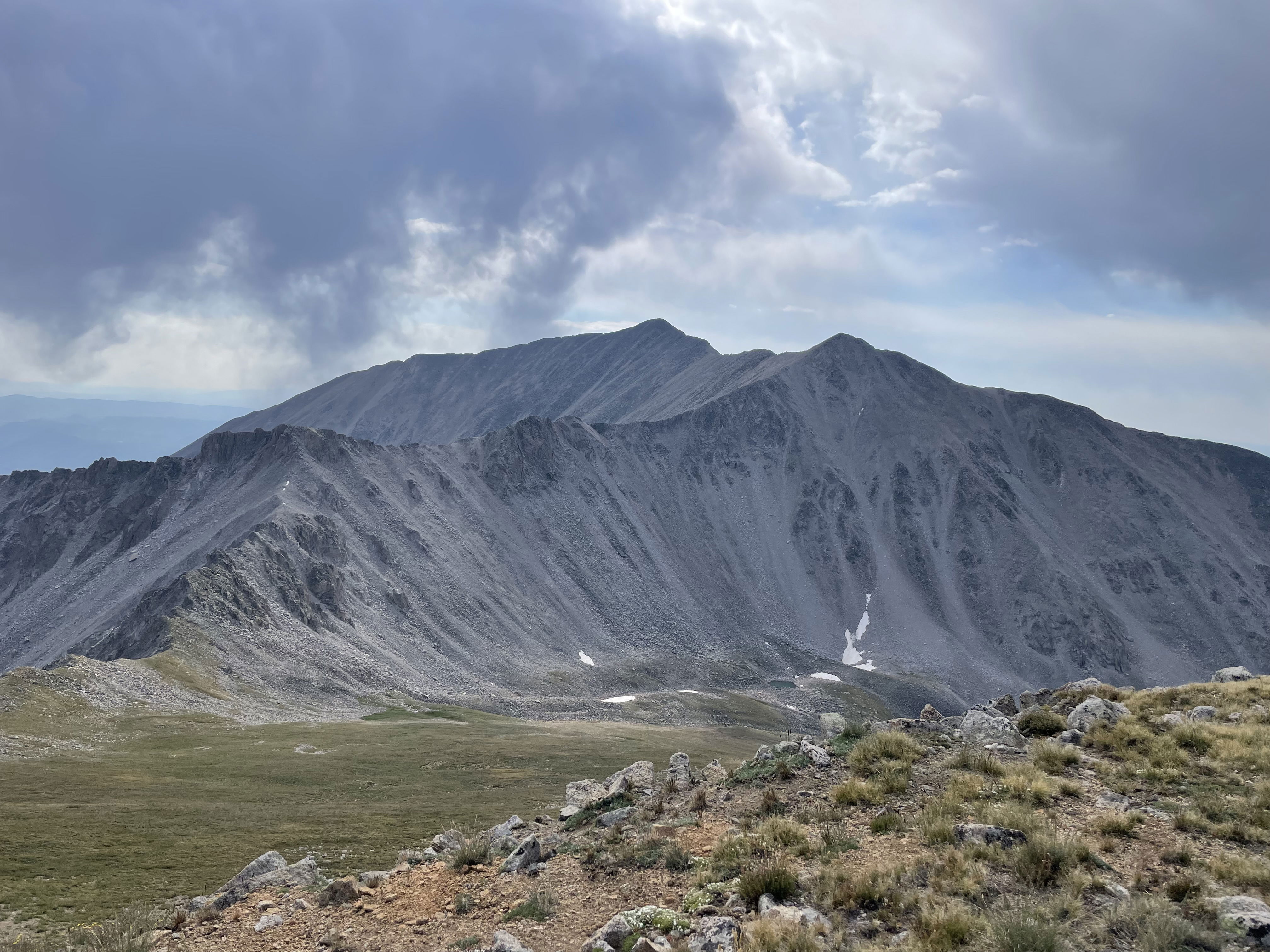
A close up of Point 13626.
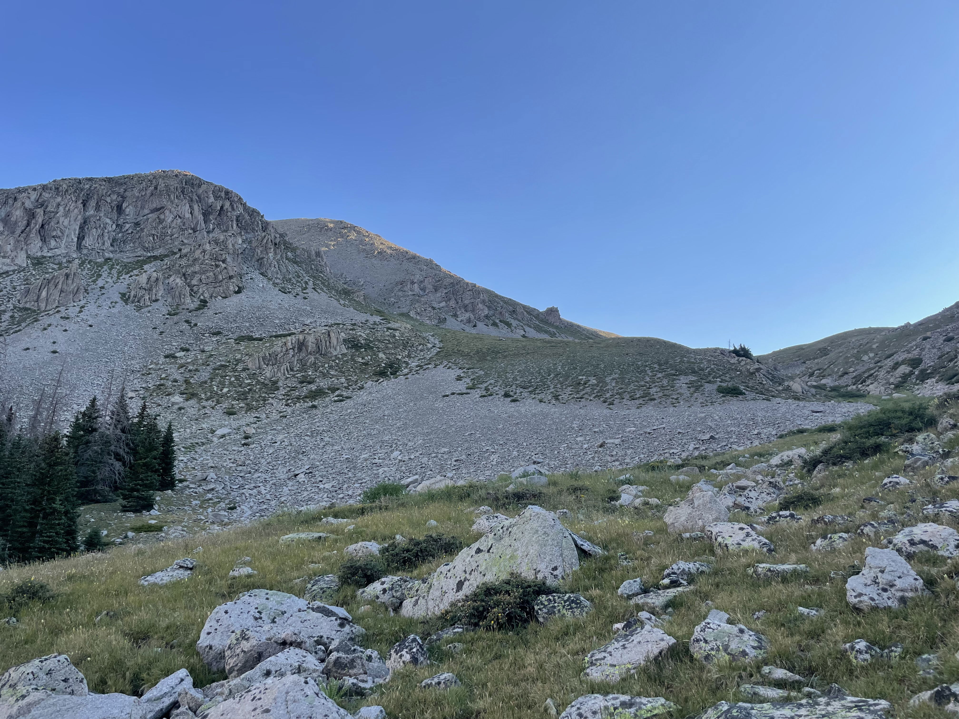
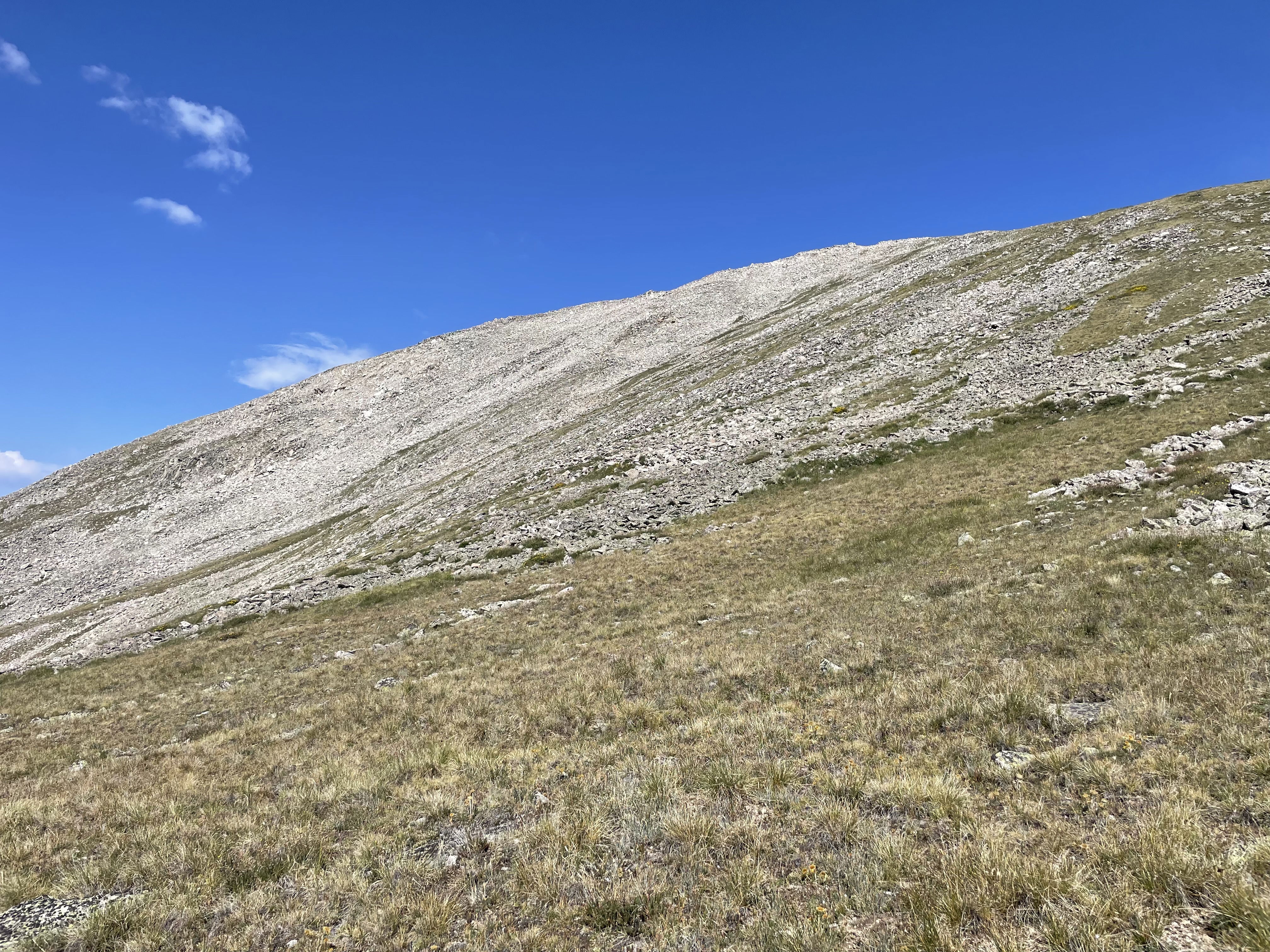
Point 13626 after getting above treeline.
A look back at the terrain after getting above treeline.
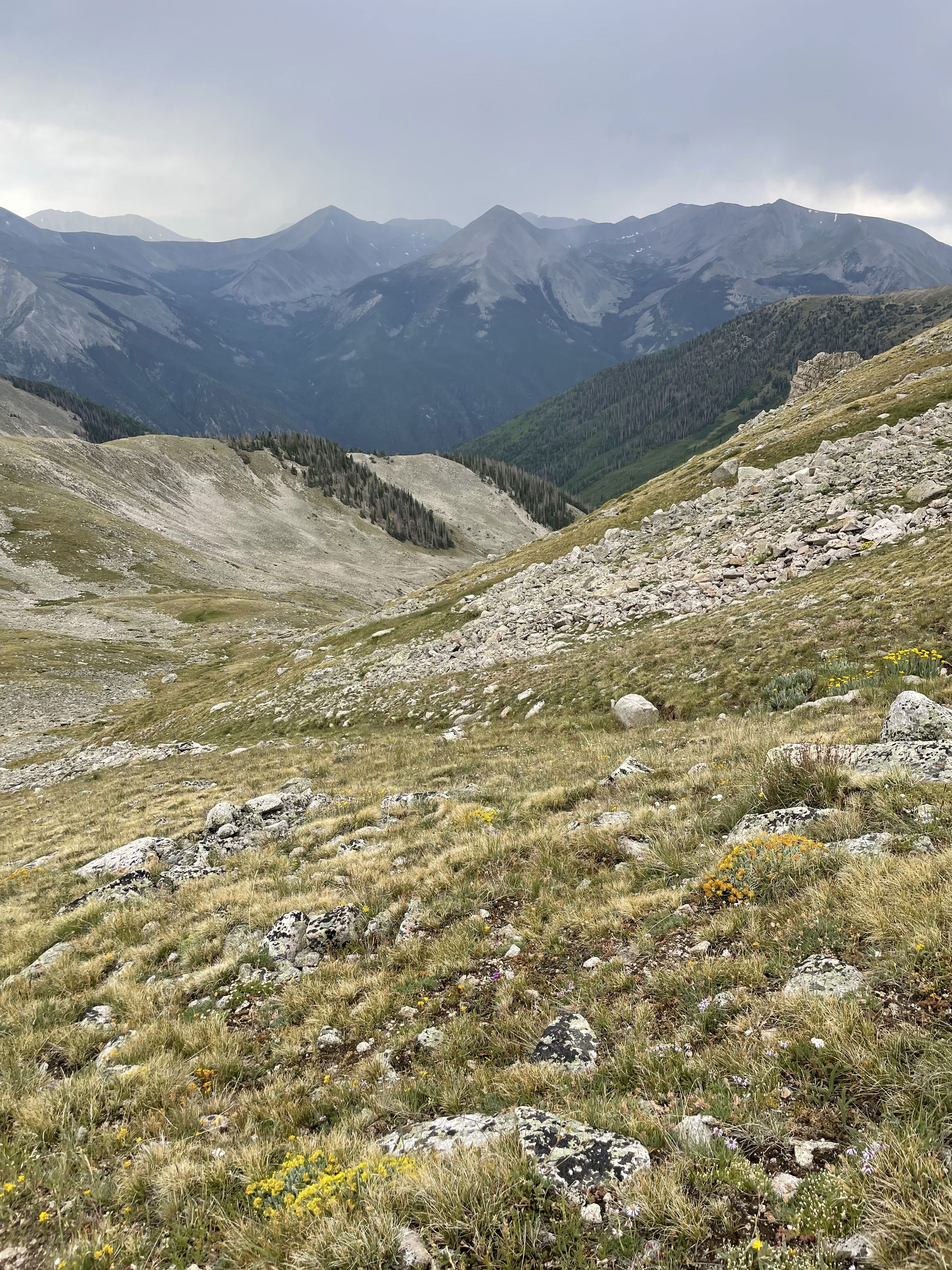
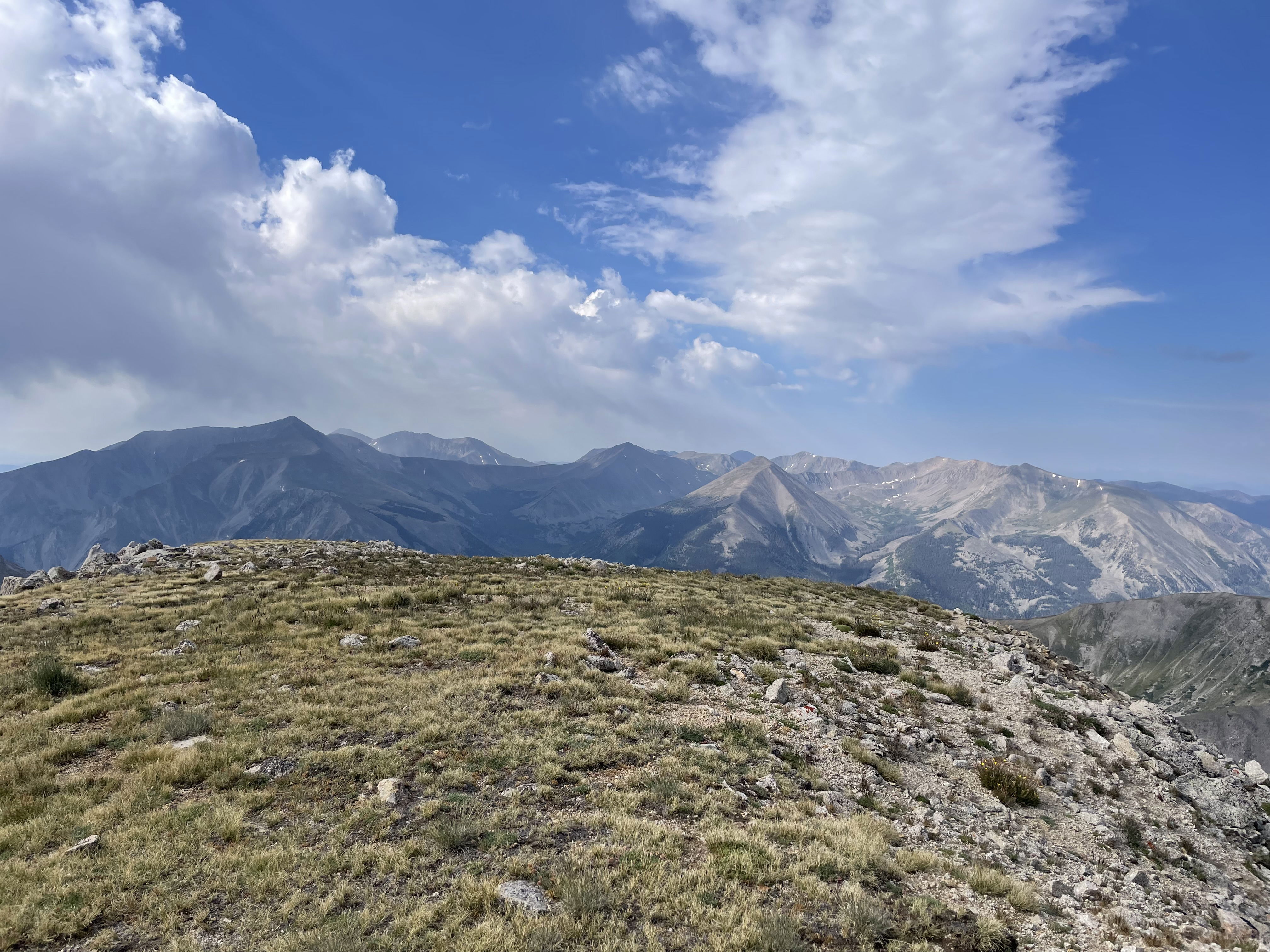
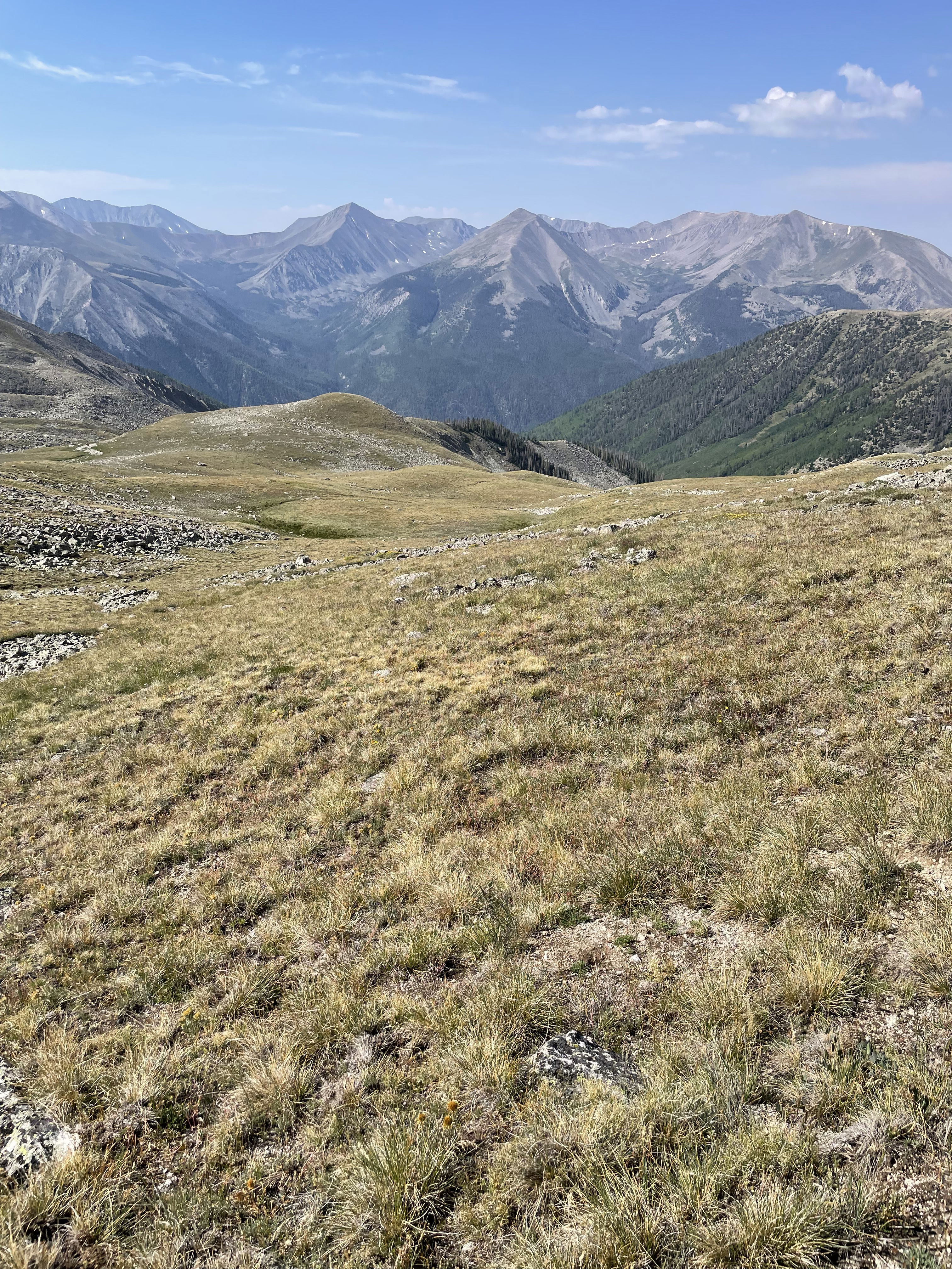
Mount Princeton and views to the east.
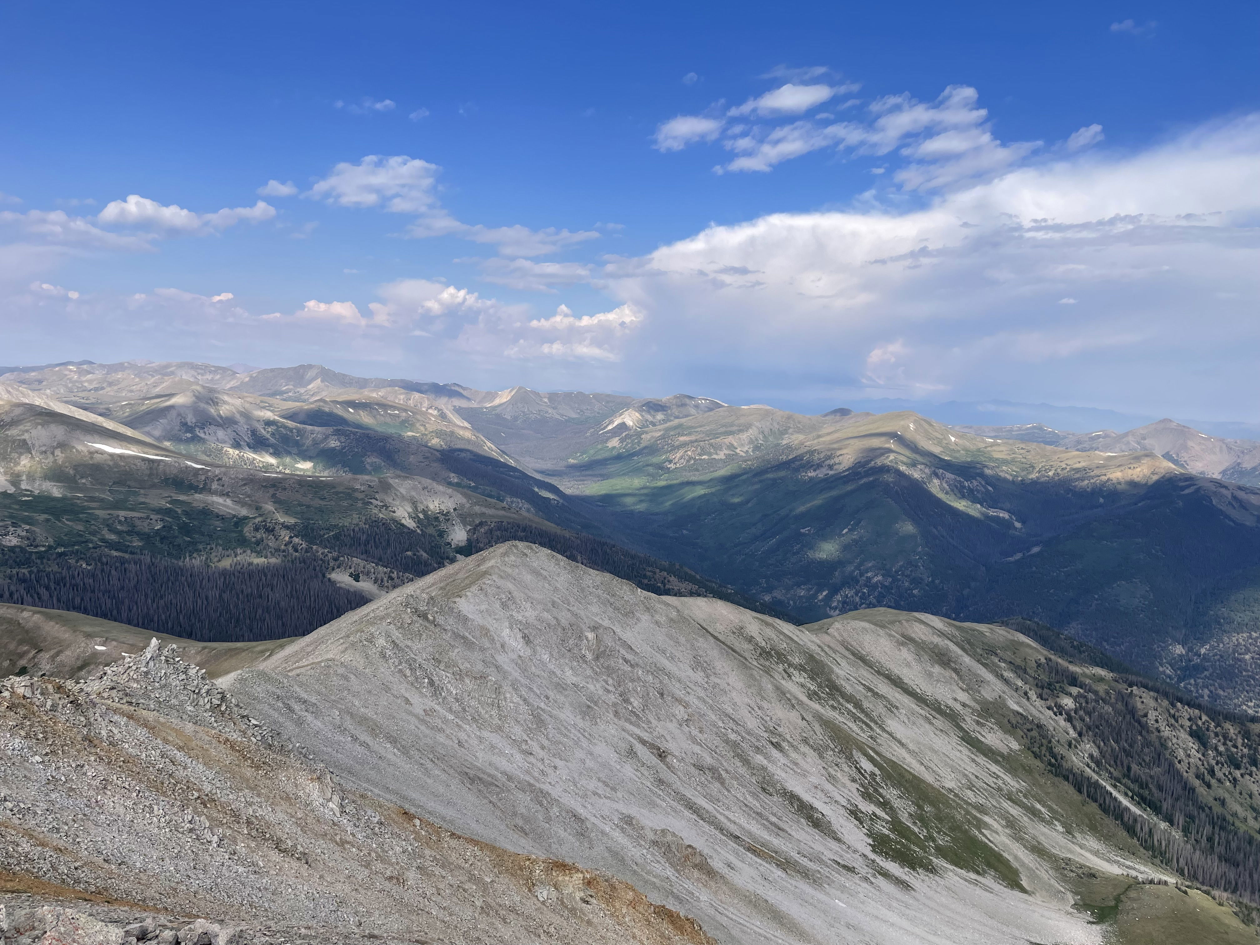
Views to the south from Point 13626.
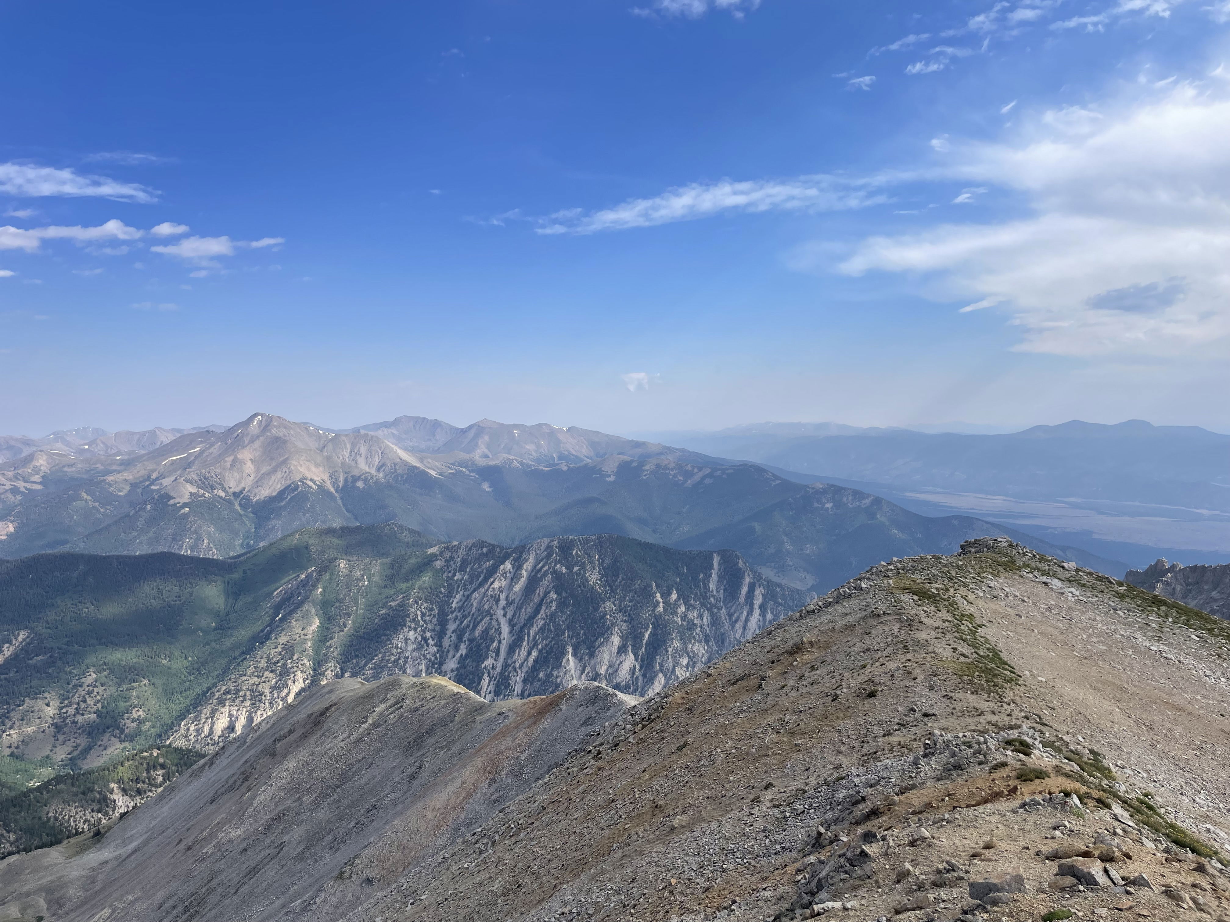
Views to the west from the summit.
Views to the north from the top of Point 13626.
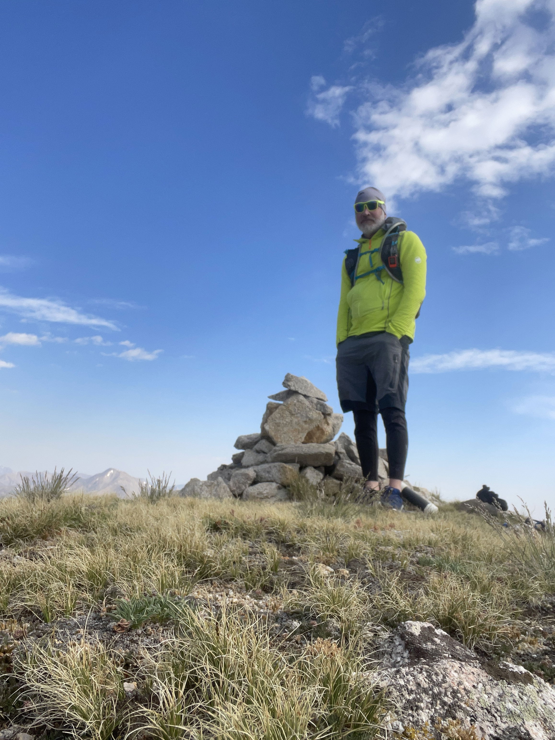
Summit Photo
The route I used to ascend the peak.
Heading back down to Grouse Canyon.
A final look at Point 13626 on the hike out.