
Point 13620
Statistics
- Date - 07/19/2025
- Elevation - 13,620'
- Route - Southwest Face
- Miles - 2.0
- Elevation Gain - 1,726'
- ACME Mapper - Link
- CalTopo - Link
- Partners - Not Applicable
Description
After backpacking into South Zapata Lake on Friday, I spent the following day hiking to two Bi-Centennial Peaks in the area. The elevation of unnamed Point 13620 is actually 13,656'. The elevation of 13,620' on the map to the new LIDAR altitude of 13,656' is a fairly sizeable elevation change and the peak rank went from 182 to 170.
I left our basecamp at the lake at 5:30 am. I would say most of the hike was class 2/2+; however, the entrance gully I took to start up the southwest face did have around at least 50' of class 3 scrambling. It took me 1 hour and 55 minutes to reach the summit and I only spent 5 minutes on top.
I descended the peak back to the lake in 1 hour and 30 minutes, so I was at camp by 9:00 am. Kennedy made me some coffee and a dried meal of biscuits and gravy for breakfast. I didn't want to relax too much before heading back out but did rest for 1 hour and 30 minutes and then started my second peak of the day.
Photos
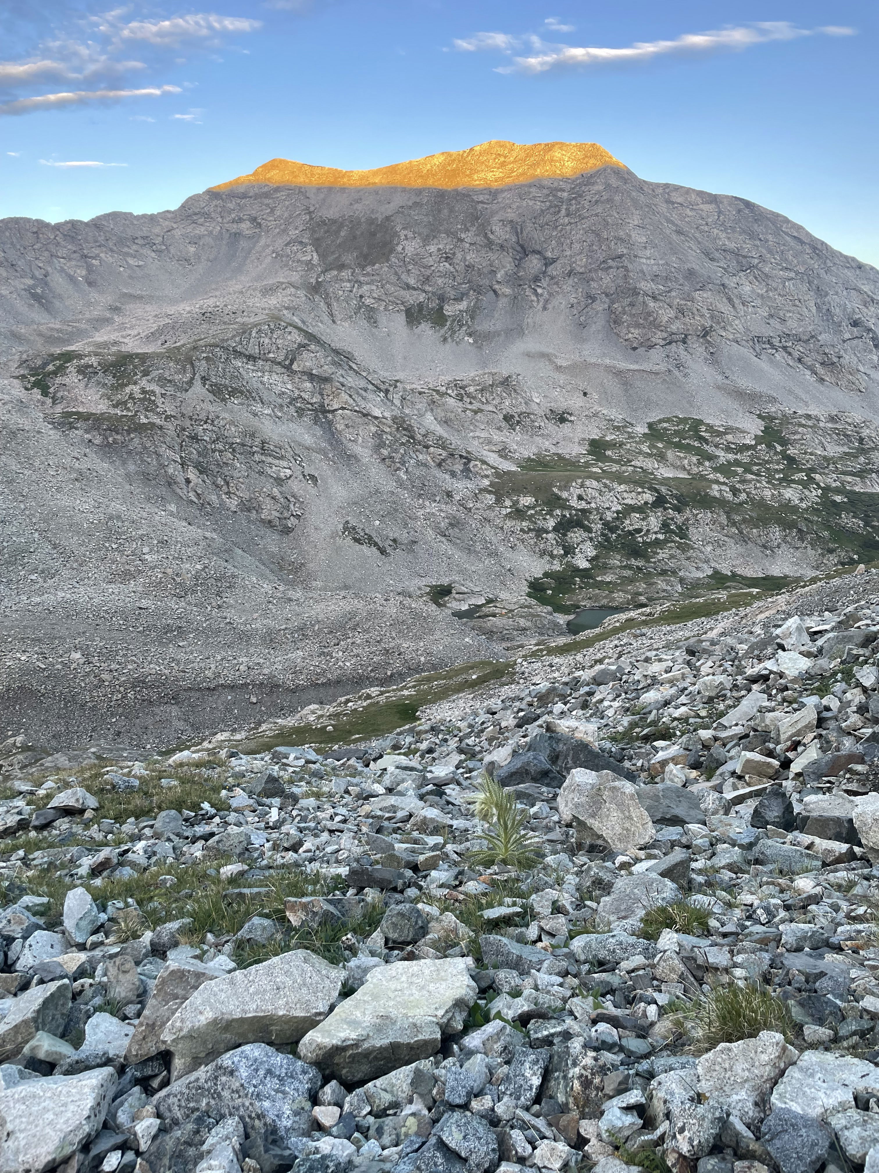
Sunrise on Twin Peaks North and South as I started up Point 13620.
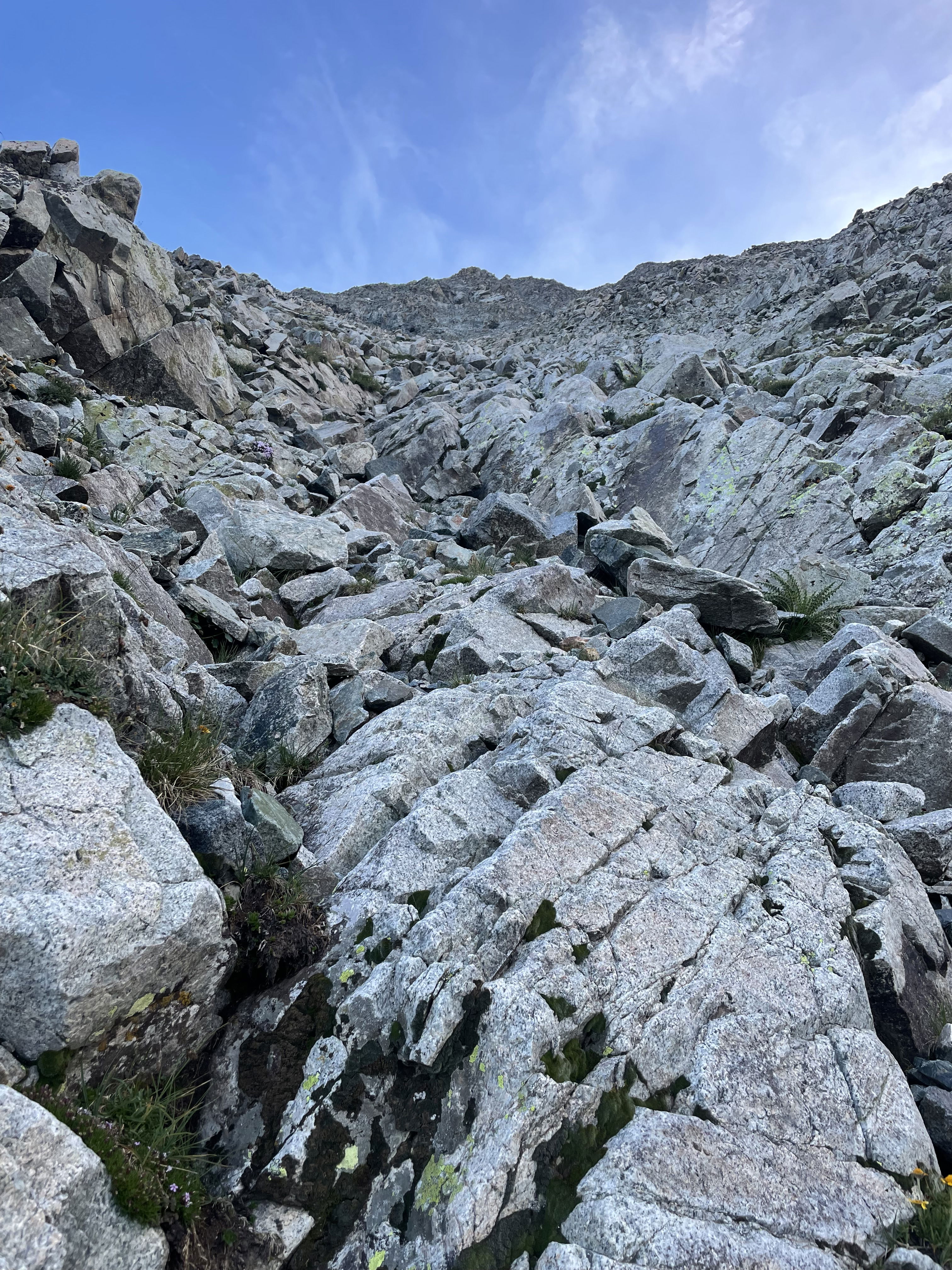
Starting up the steeper part of the route.
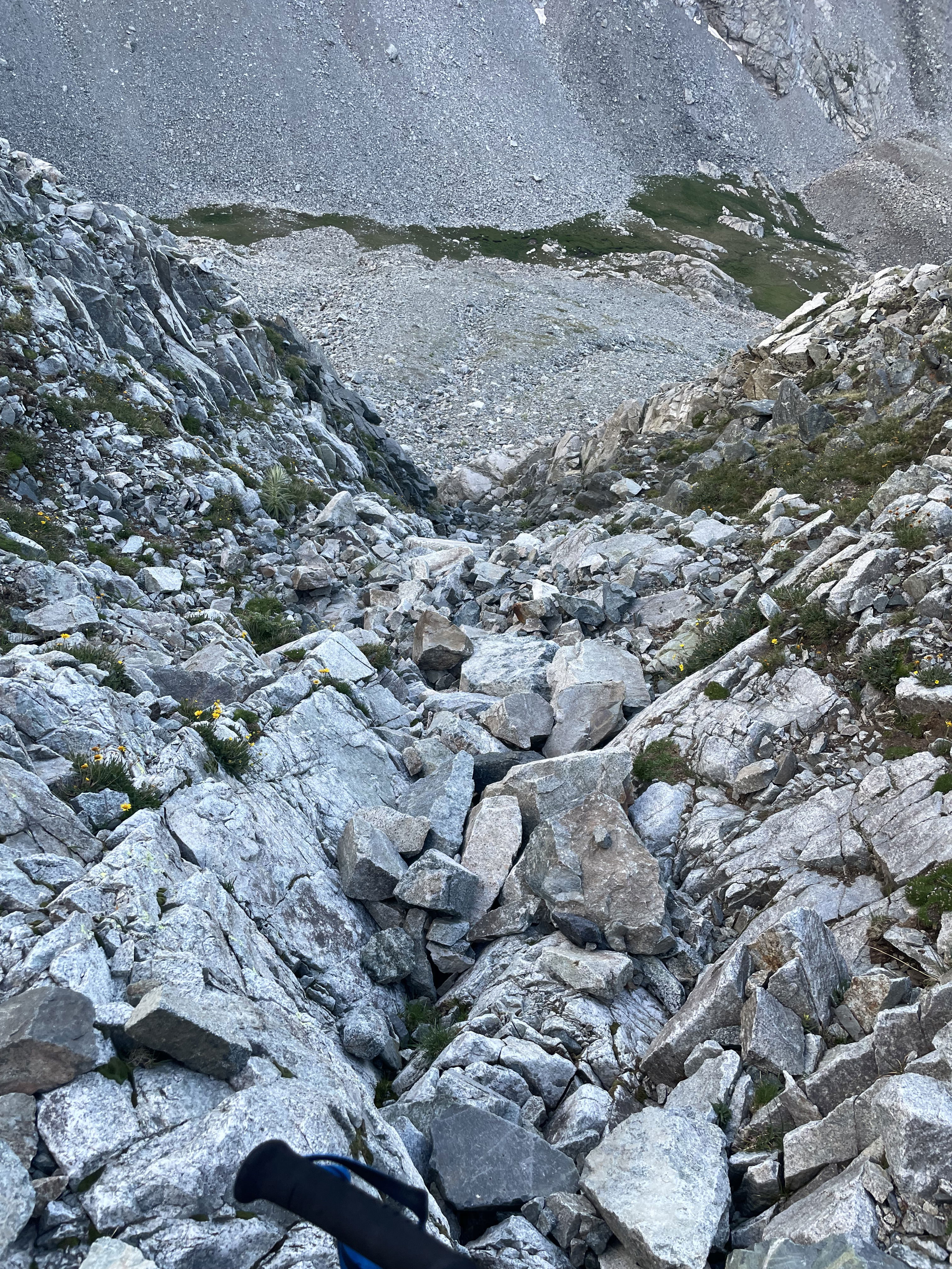
Looking down the route after gaining some elevation.
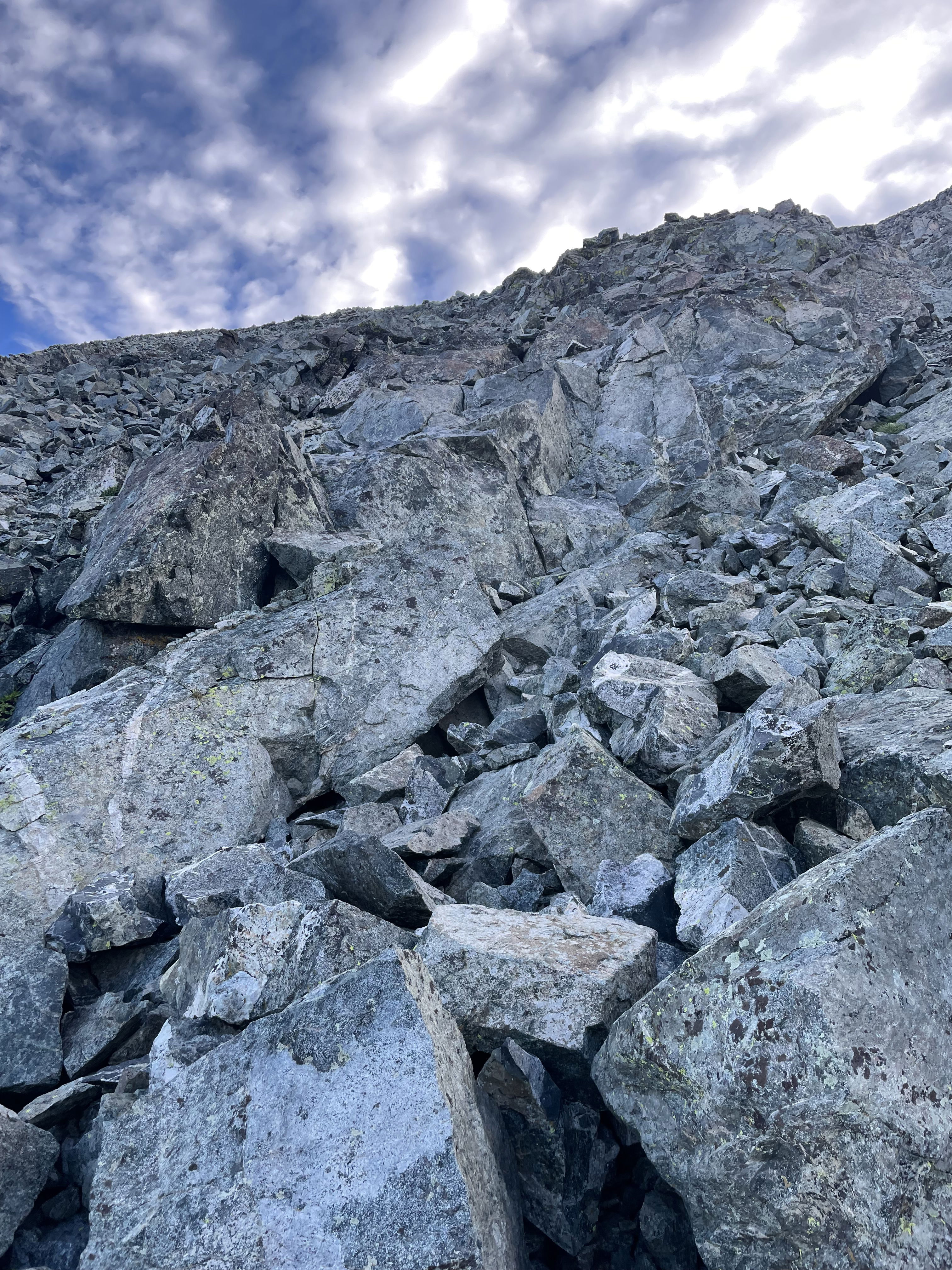
Looking up the route after gaining some elevation.
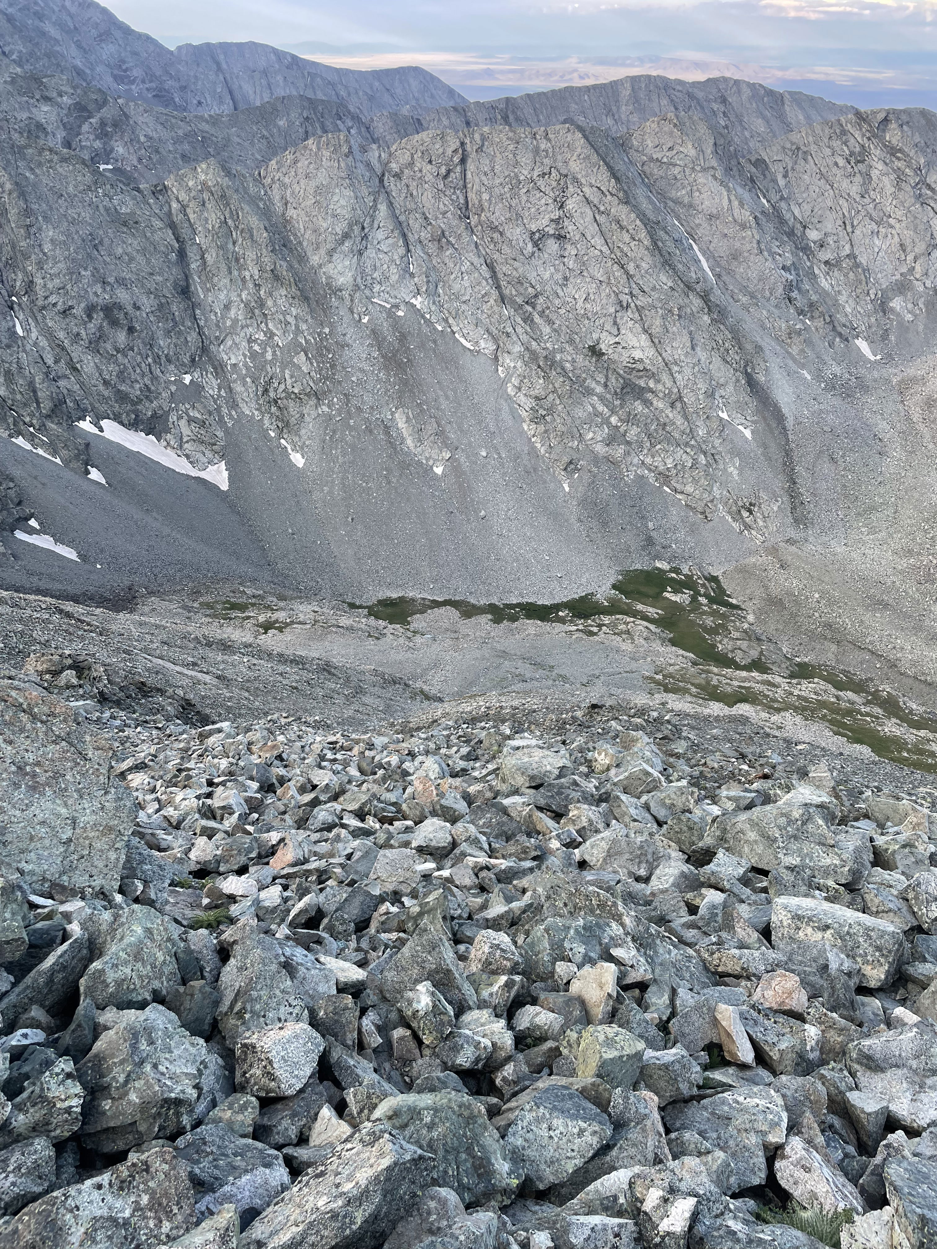
Looking down the route from near the summit.
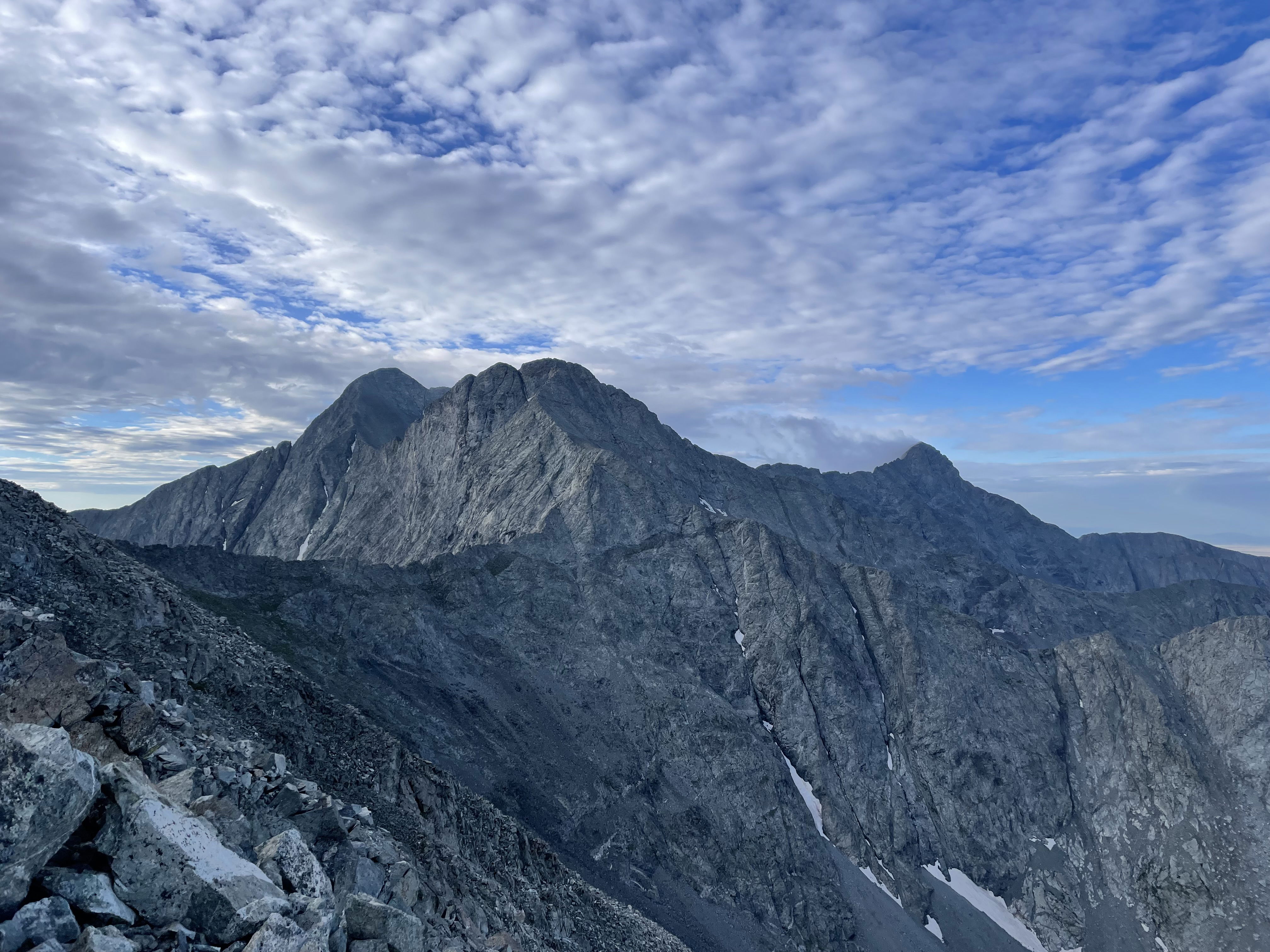
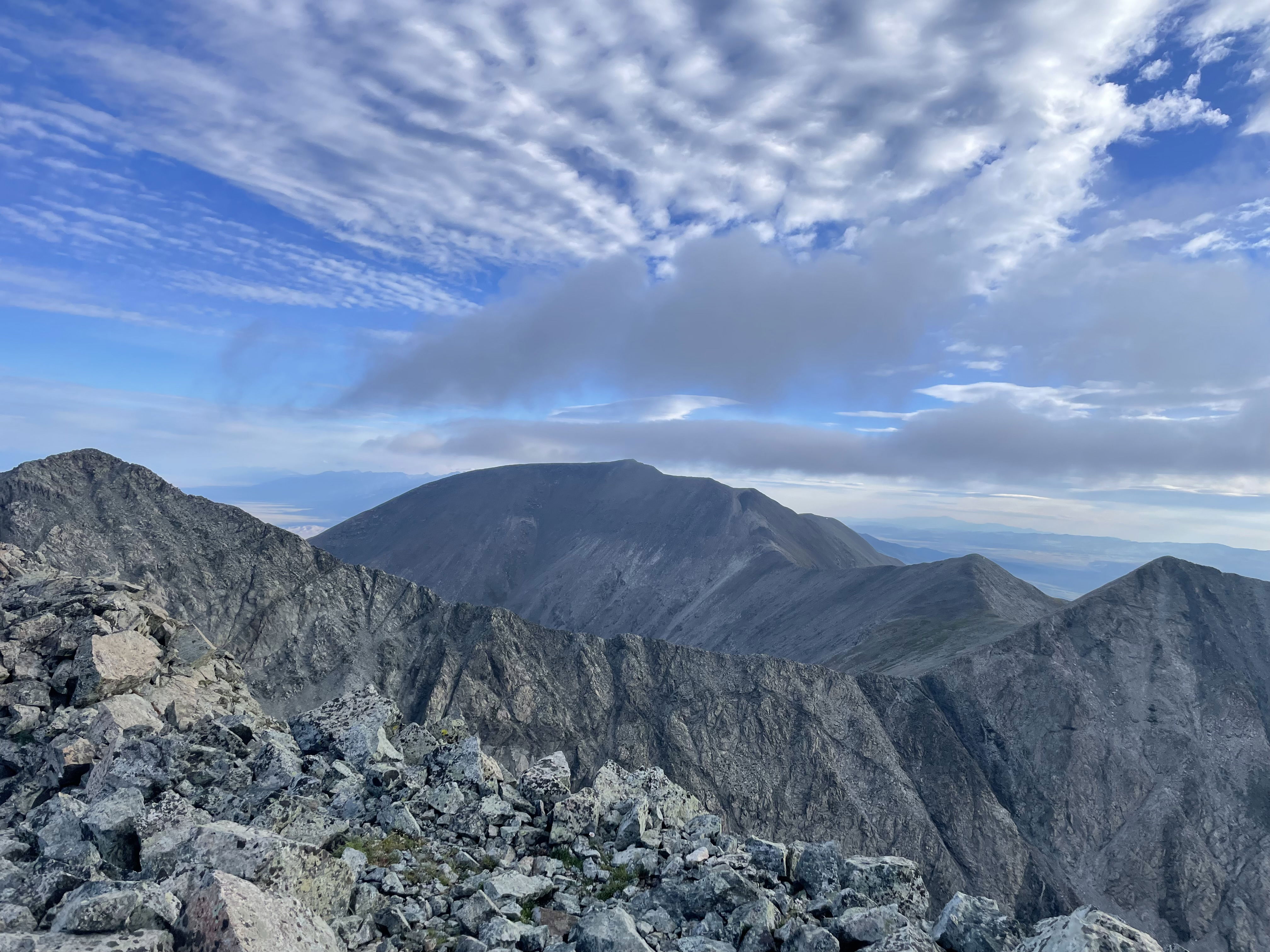
Blanca, Ellingwood, and Little Bear near the summit before the clouds rolled in.
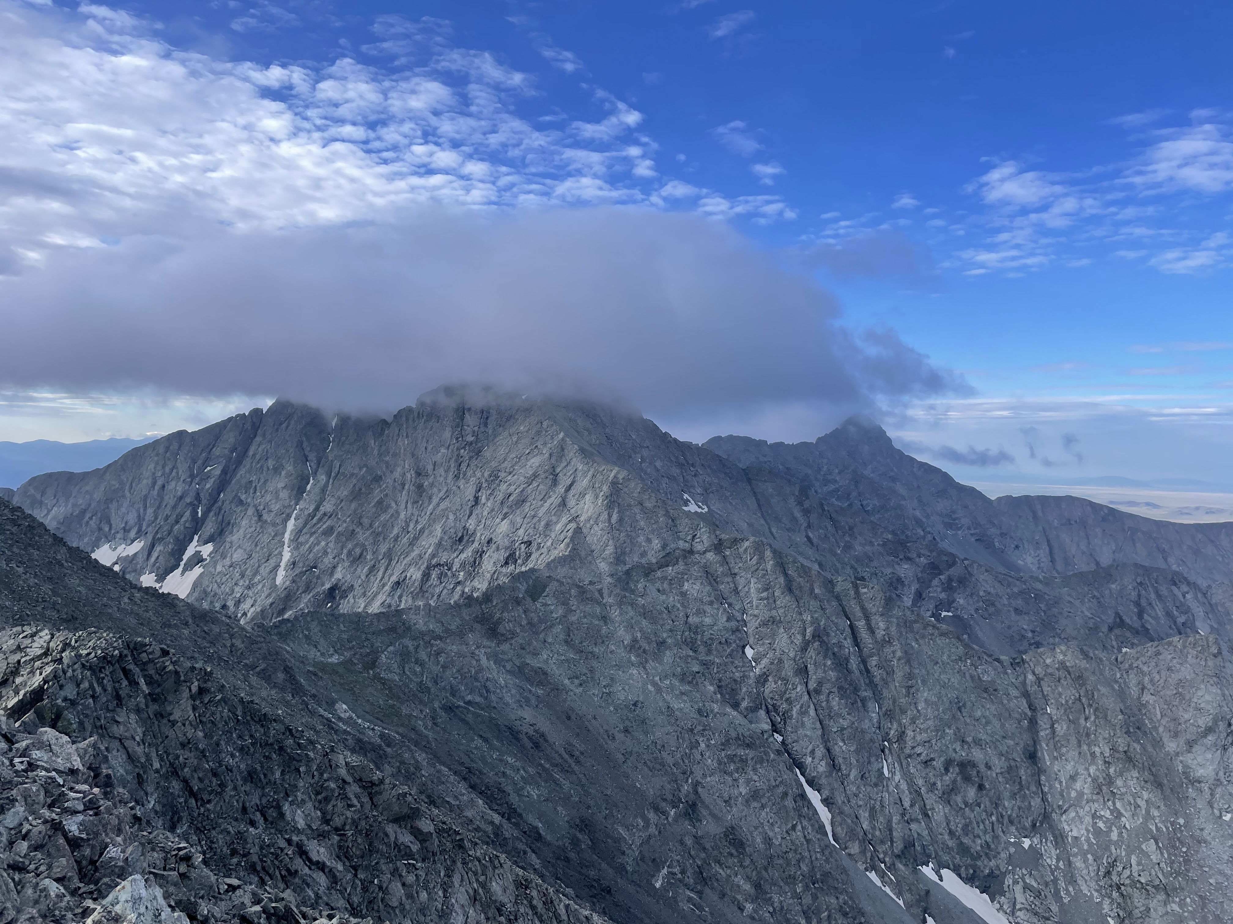
Blanca, Ellingwood, and Little Bear to the south from the summit of Point 13620.
Mount Lindsey from the summit towards the southwest.
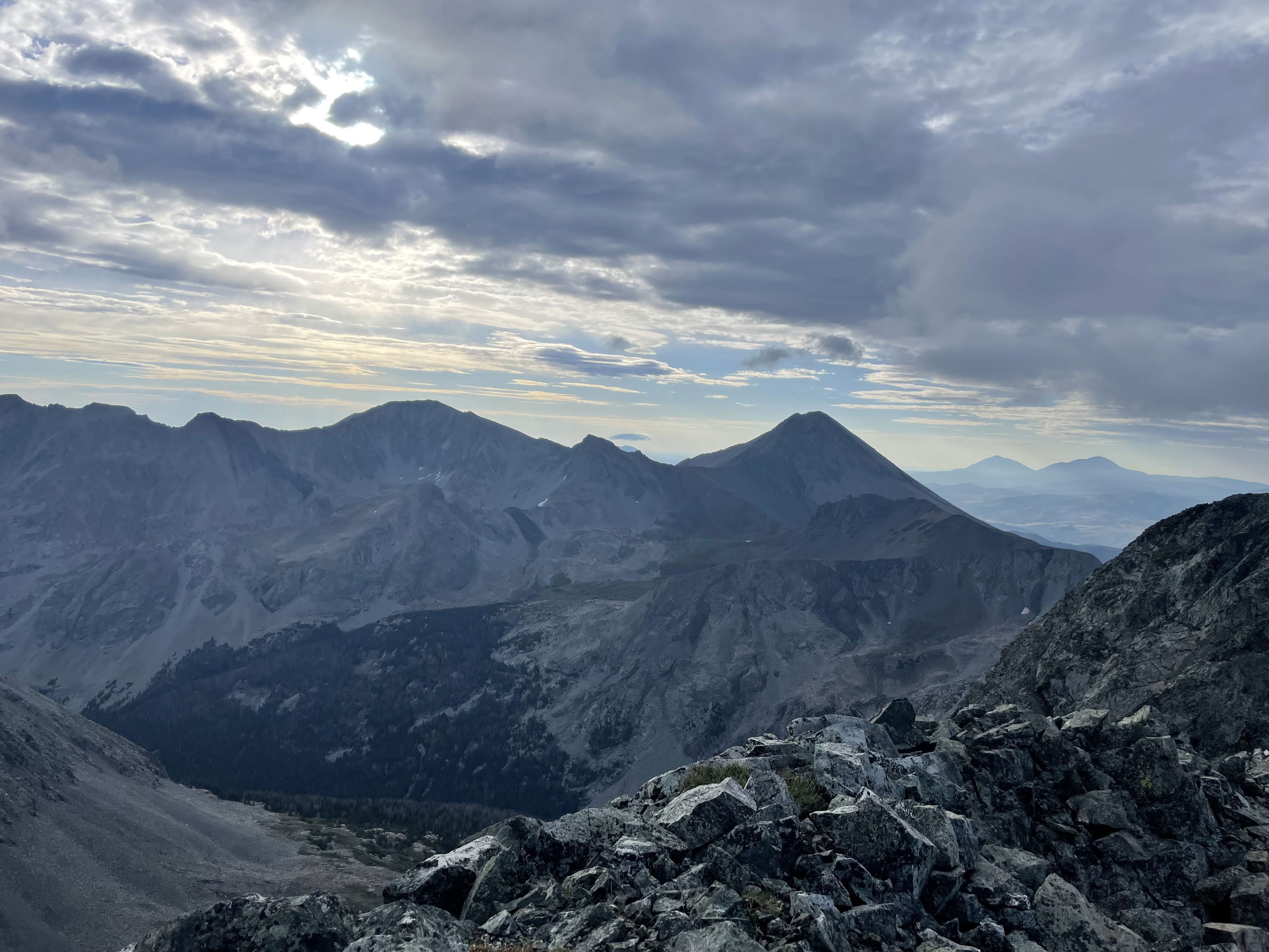
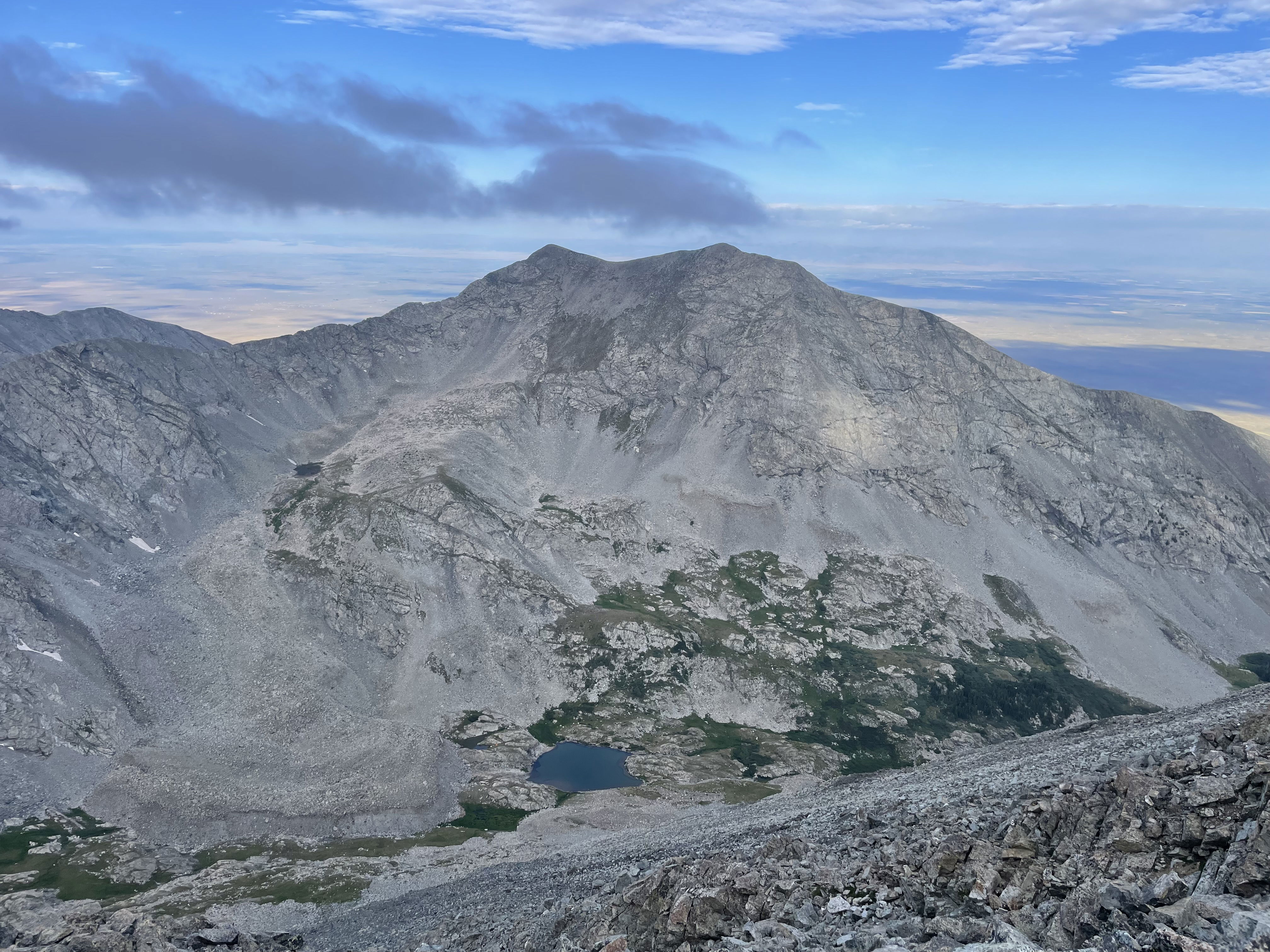
California Peak to the north from the summit of Point 13620.
Twin Peaks North and South to the east of Point 13620.
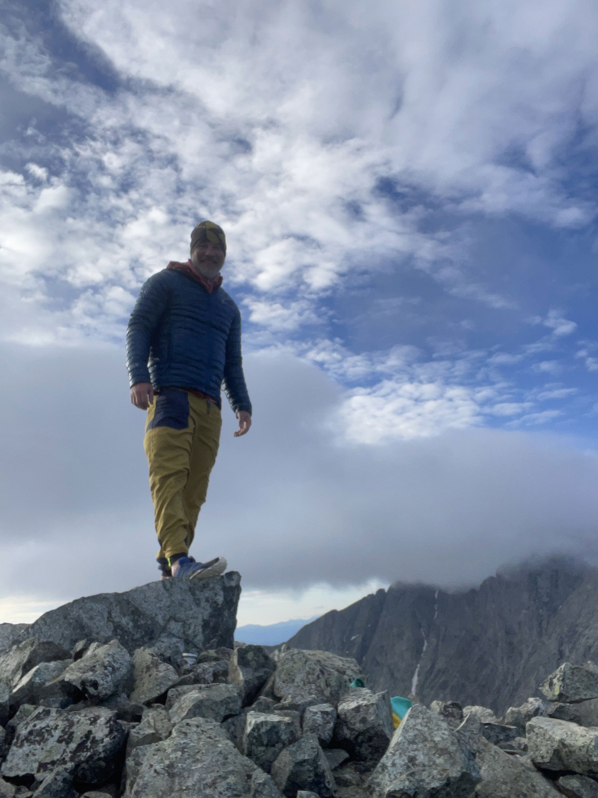
Summit Photo
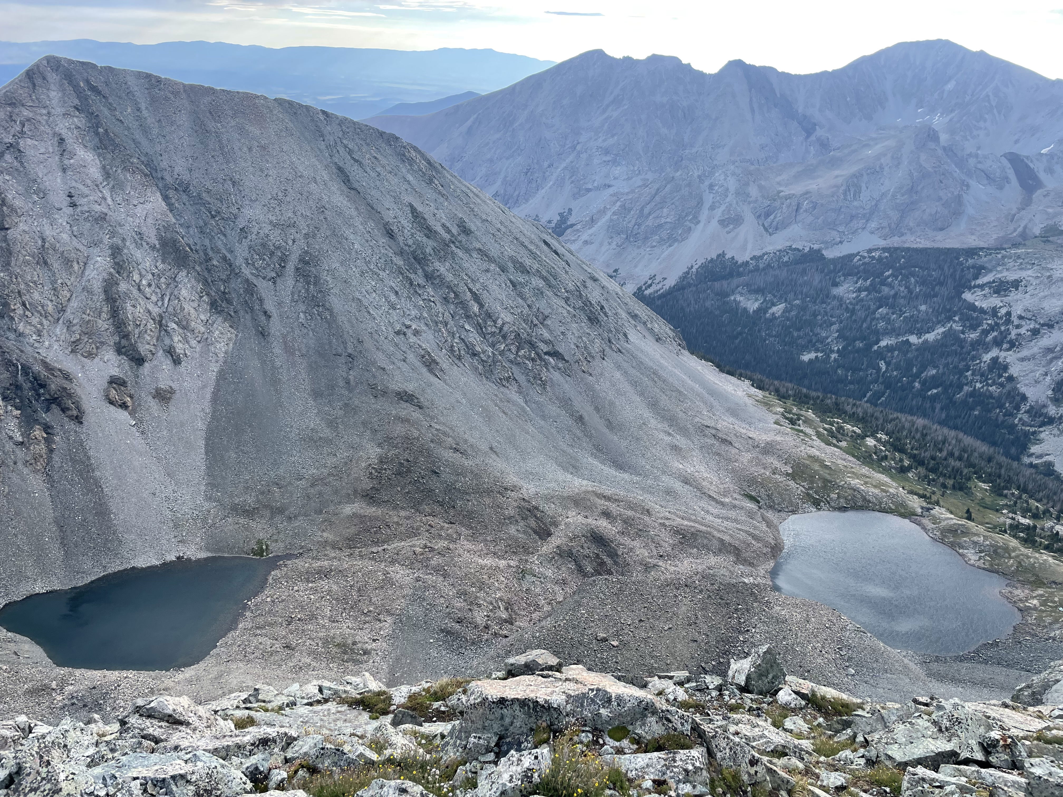
Lilly Lake from the summit of Point 13620.
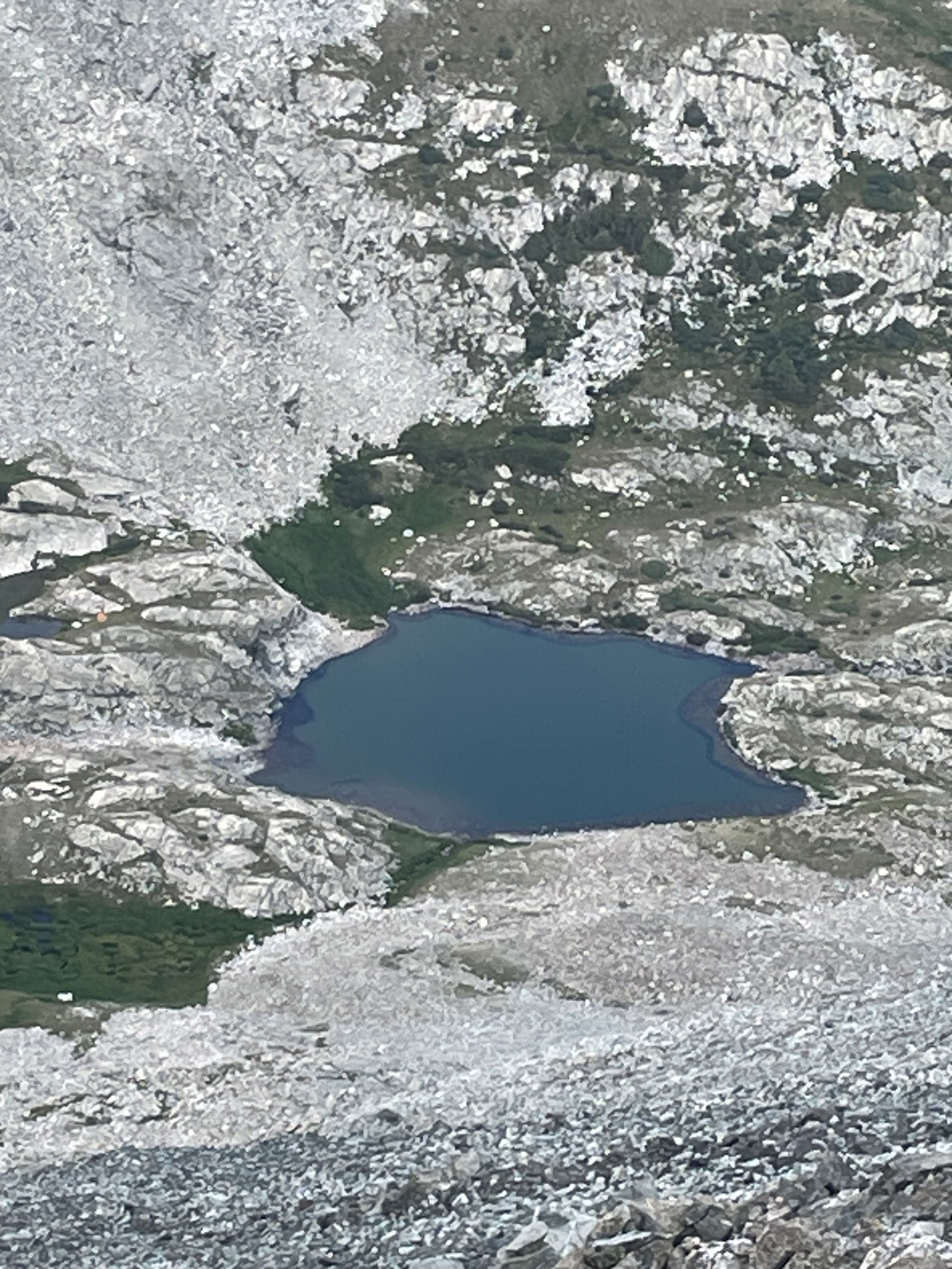
South Zapata Lake and our camp from the summit of Point 13620.