
Mount Emma
Statistics
- Date - 06/13/2025
- Elevation - 13,581'
- Route - Northeast Ridge
- Miles - 4.0
- Elevation Gain - 2,873'
- ACME Mapper - Link
- CalTopo - Link
- Partners - Not Applicable
Description
Mount Emma is a Bi-Centennial Peak and the 194th tallest mountain in the state of Colorado according to old map elevations. The new LIDAR elevation is 11 feet higher at 13,592' so that moved Mount Emma up one slot to the 193rd highest Colorado Peak. I hiked this mountain from Yankee Boy Basin after driving up Camp Bird Road.
I was working in Ouray, Colorado, for the week, so I opted to stay the following weekend and try and get some hiking in since I was in the area. Camp Bird Road opened on the evening of June 11, 2025. It was delayed for quite some time due to rock fall and road damage that was being worked on. Nevertheless, when I found out it was open I changed plans to hike some Bi-Centennial Peaks in Yankee Boy Basin.
I drove to approximately 11,400' by 6:00 am on this day and thought I was going to have a fairly easy day. The statistics would surely indicate this; however, I'm not as young as I once was. In addition, I made a somewhat embarrassing route-finding error that cost me at least an hour on the ascent, and the overall snow conditions were challenging throughout the day.
I was able to cross Sneffels Creek without any issues, but almost immediately was post-holing in unconsolidated snow. I struggled out the gate and then worked my way up some bare ground for a bit before encountering Emma's huge northeast snowfield. After wallowing for a bit to get onto the snow, it finally started to support me. It was fairly low angle, so I didn't put on my crampons for quite some time.
Once the snow got steep enough, I strapped on my crampons and made my way to the base of Mount Emma's northeast ridge. It looked a bit intimidating with several rock towers and small snow filled gullies still remaining in mid-June. I ended up taking off and putting on my crampons a couple of times to negotiate the route. The path that I chose included class 3 scrambling and a few short steep snow chutes. Route-finding wasn't terrible, but the ridge definitely kept me on my toes and the final section to the summit block is an awkward off-width. I kept my crampons on the entire downclimb of the ridge until the large lower angle snowfields.
I can't remember for sure, but I think it took me three hours to summit and two hours to return to my vehicle for a five hour car-to-car day. The descent went pretty smoothly and I caught at least four or five fun glissades down the snowfields. The scrambling, snow-climbing, and route-finding made for a relatively short but challenging day.
Photos
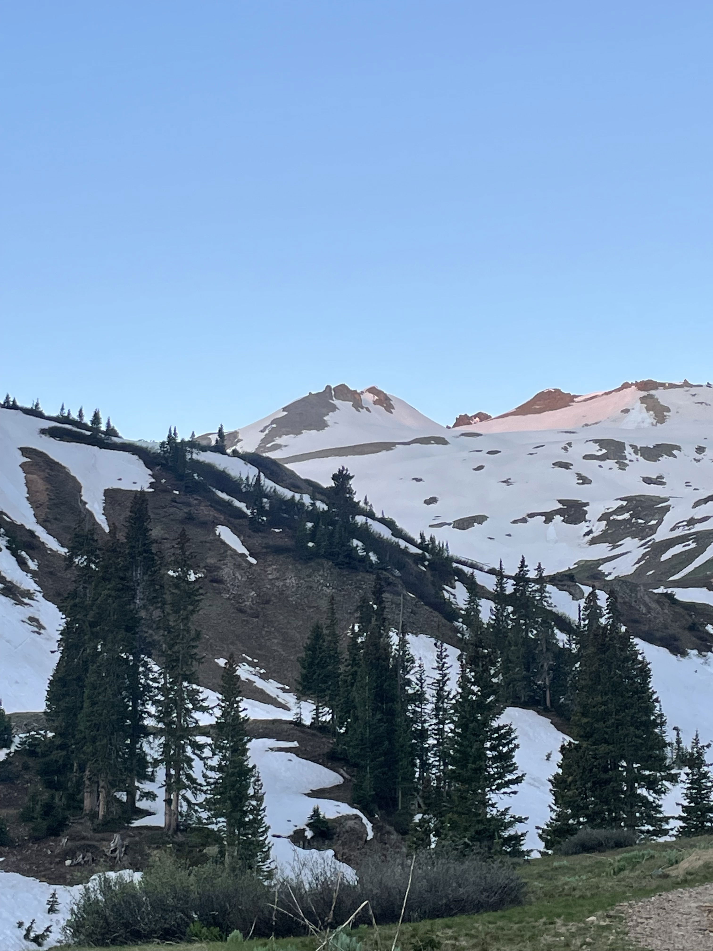
From my trailhead, Mount Emma is the low point in the middle of the ridgeline.
There was plenty of snow on the approach.
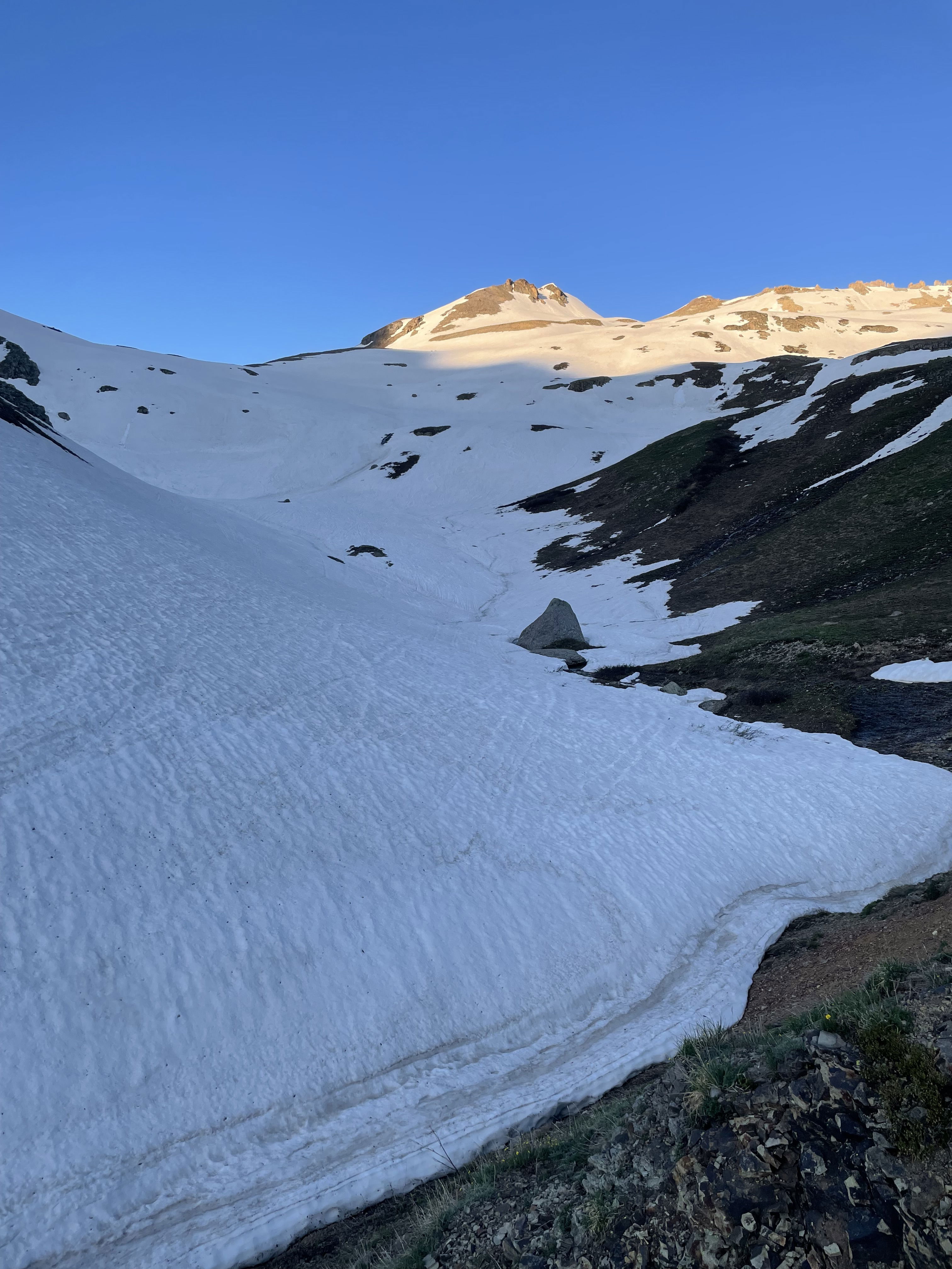
Working my way up the large snowfield.
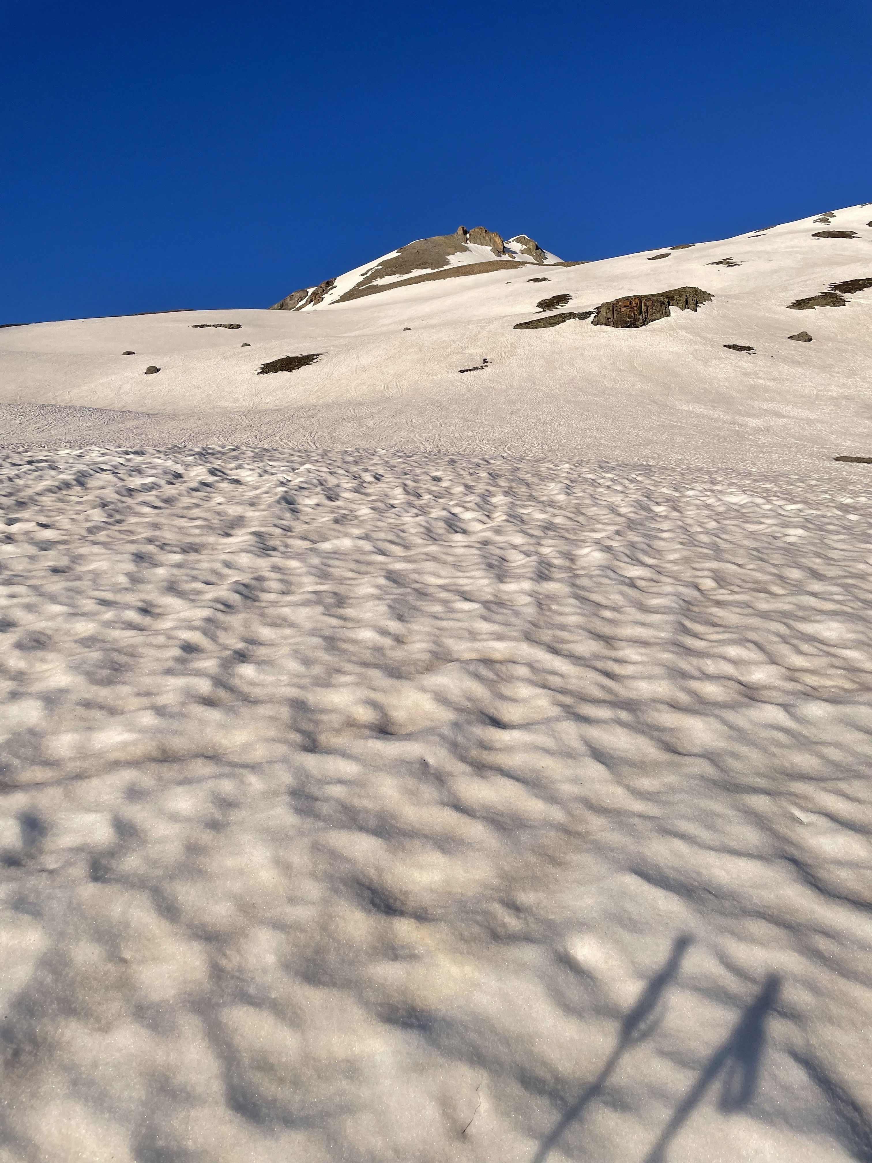
Looking down the snowfield.
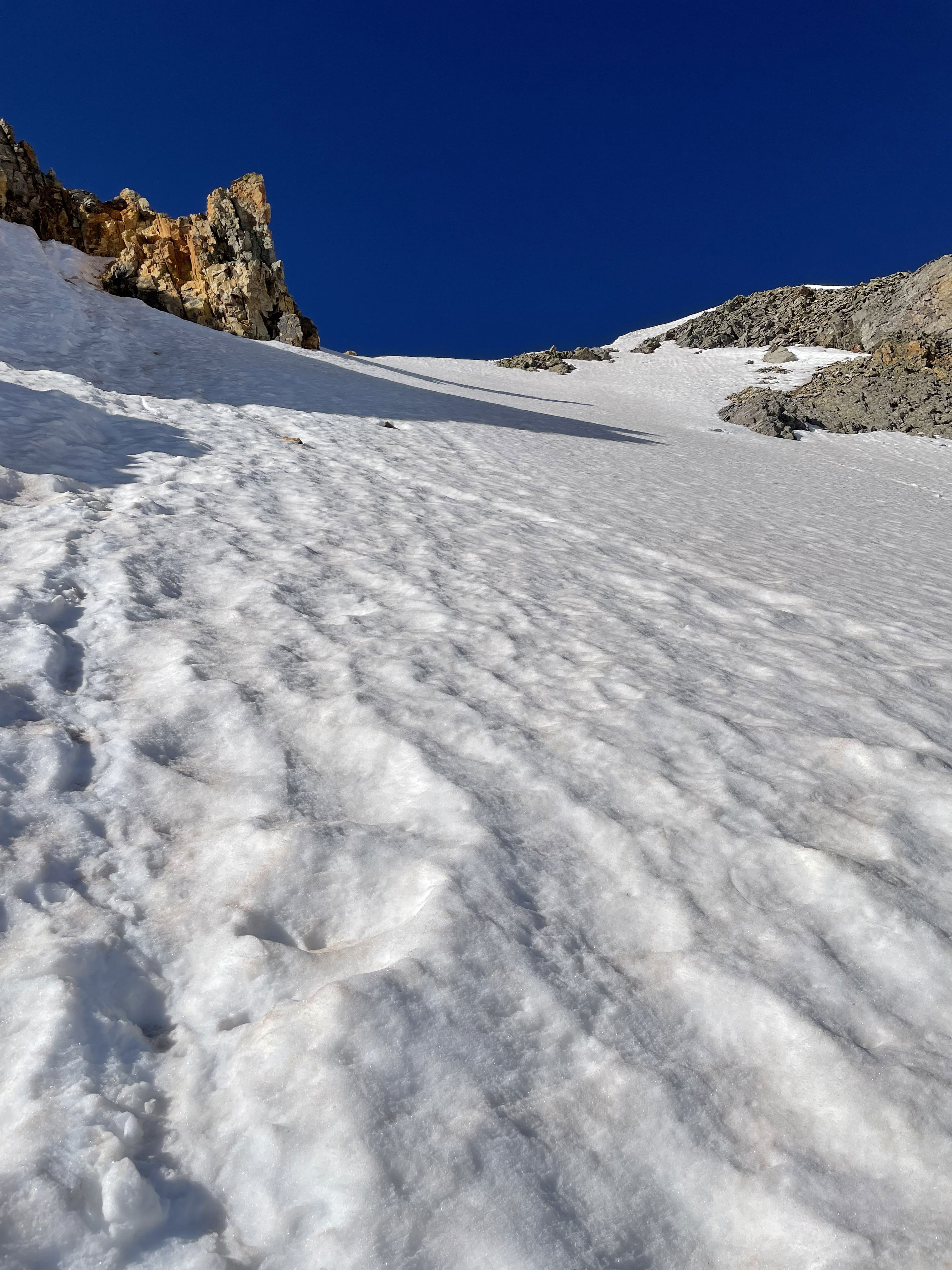
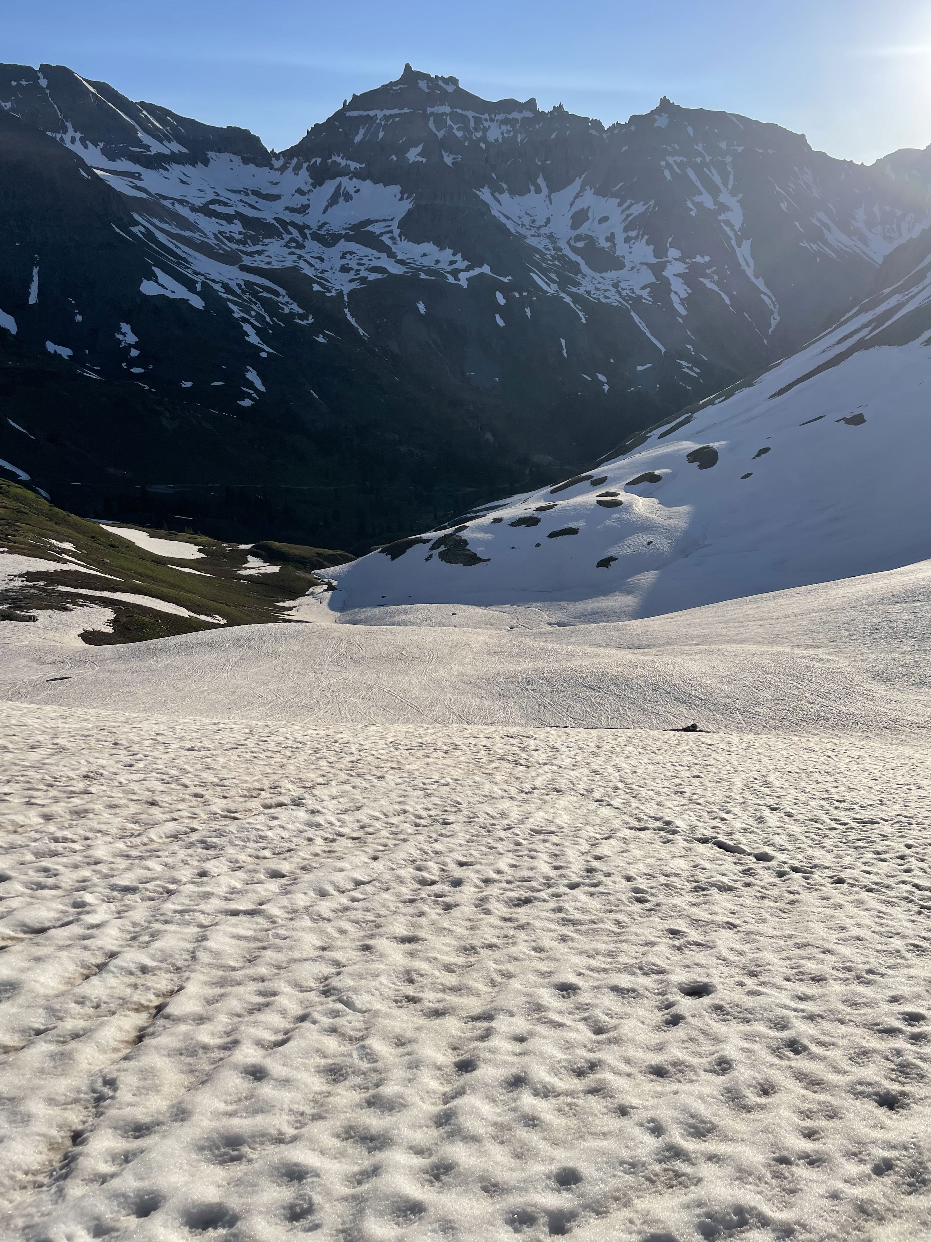
The steepest, but short, section of the snow climb.
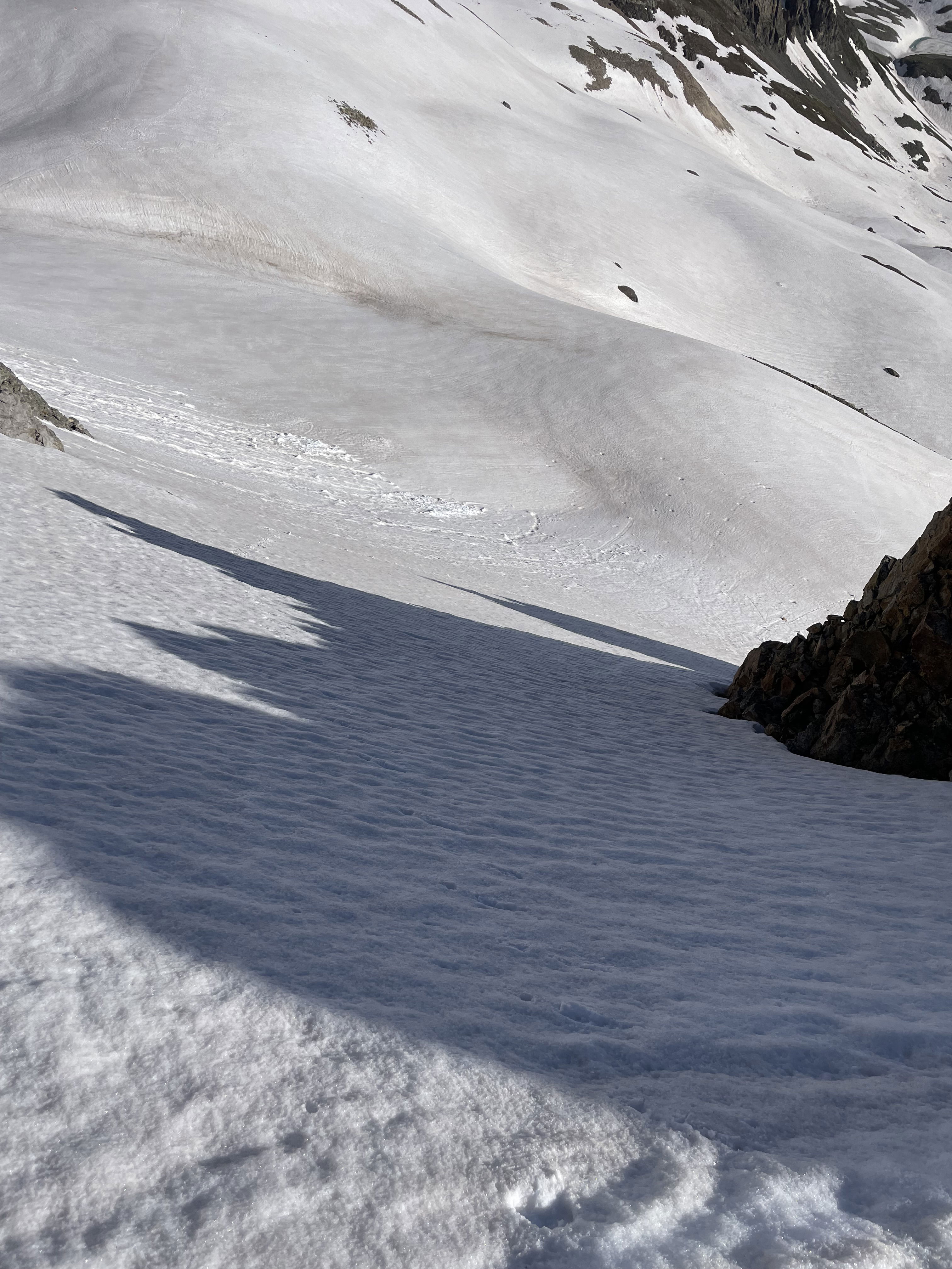
Looking down the short steeper snow climb.
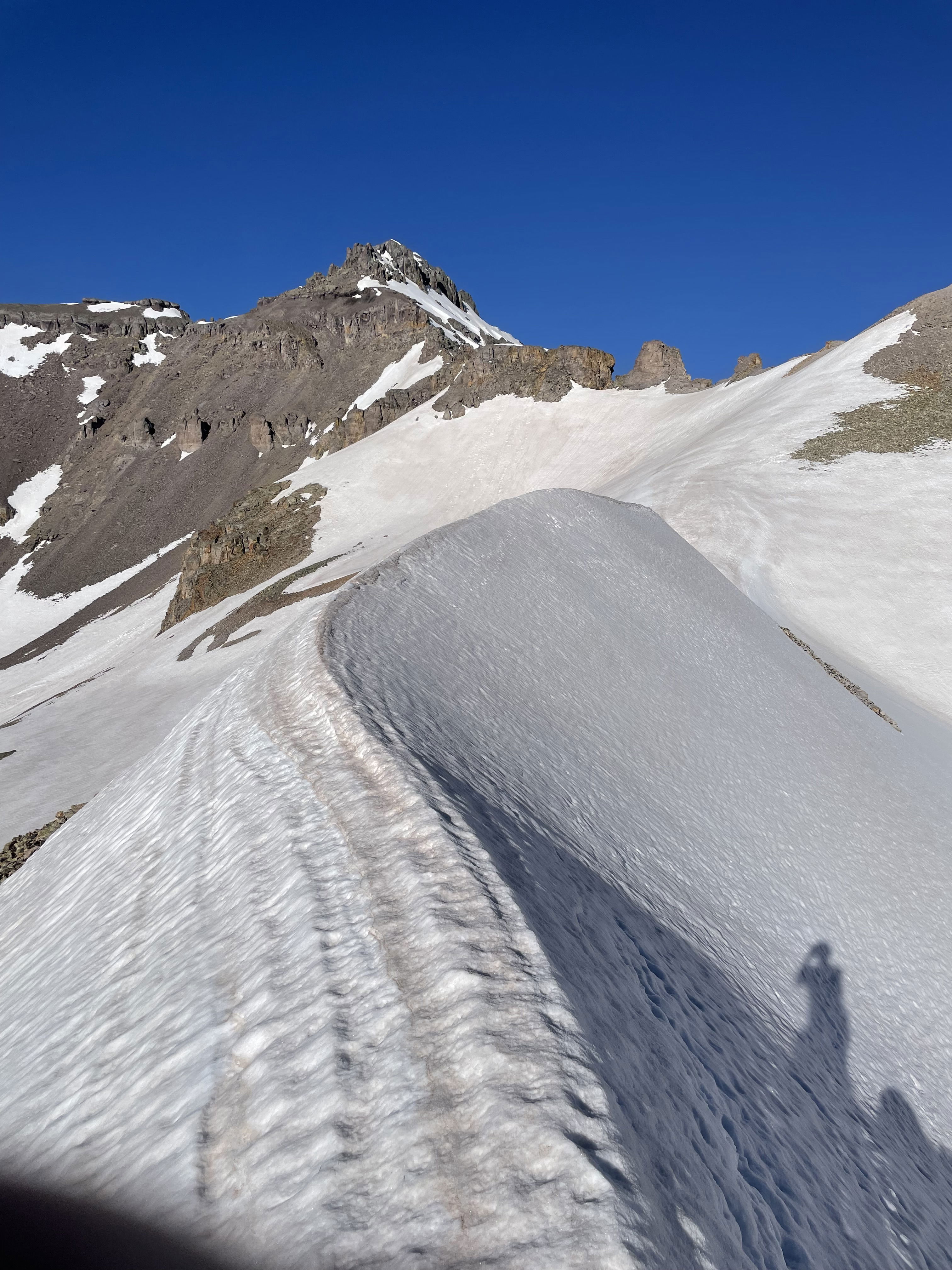
My first good look at Mount Emma with a narrow snow ridge in the foreground.
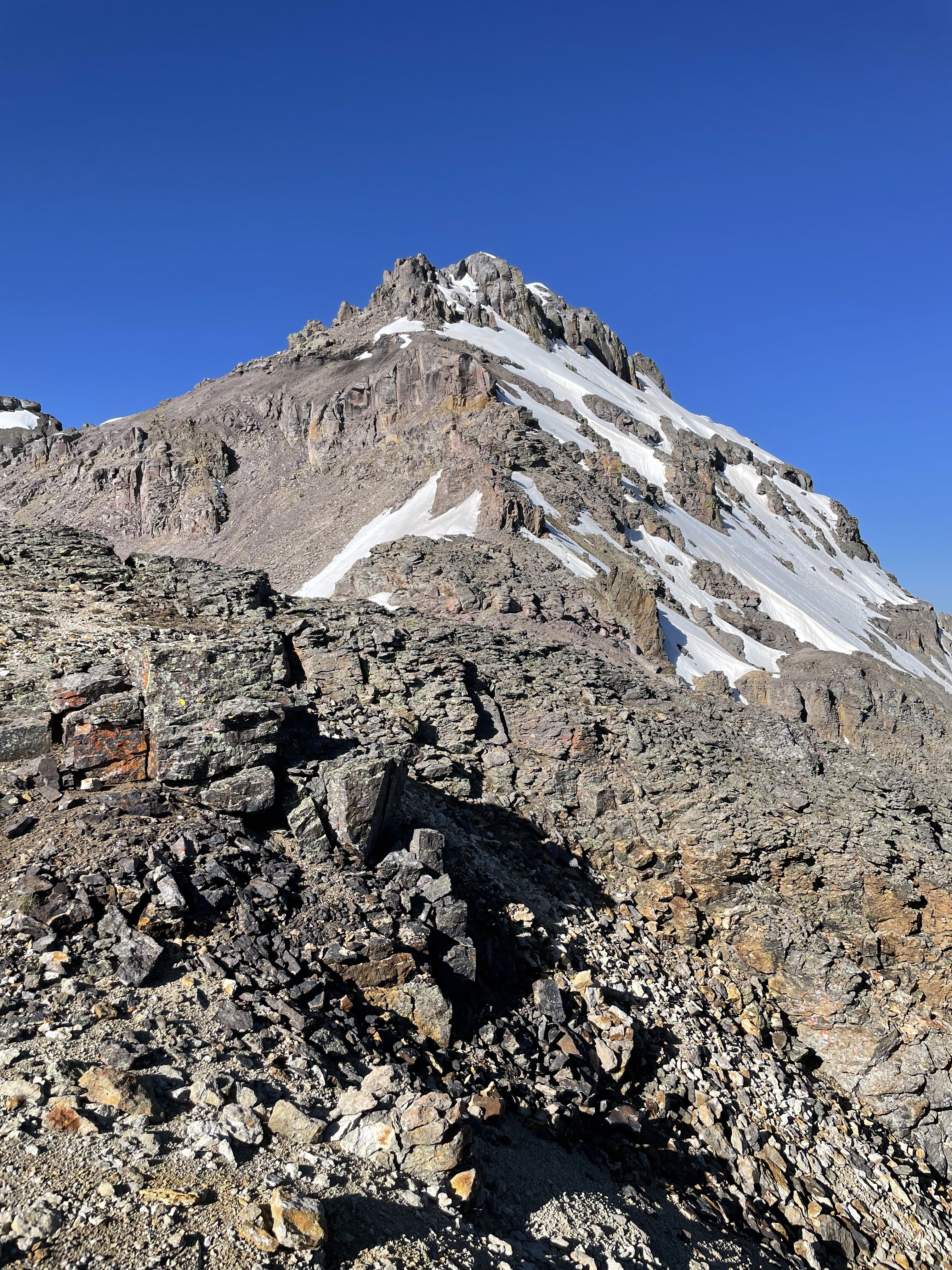
A closer look at Mount Emma's somewhat gnarly northeast ridge.
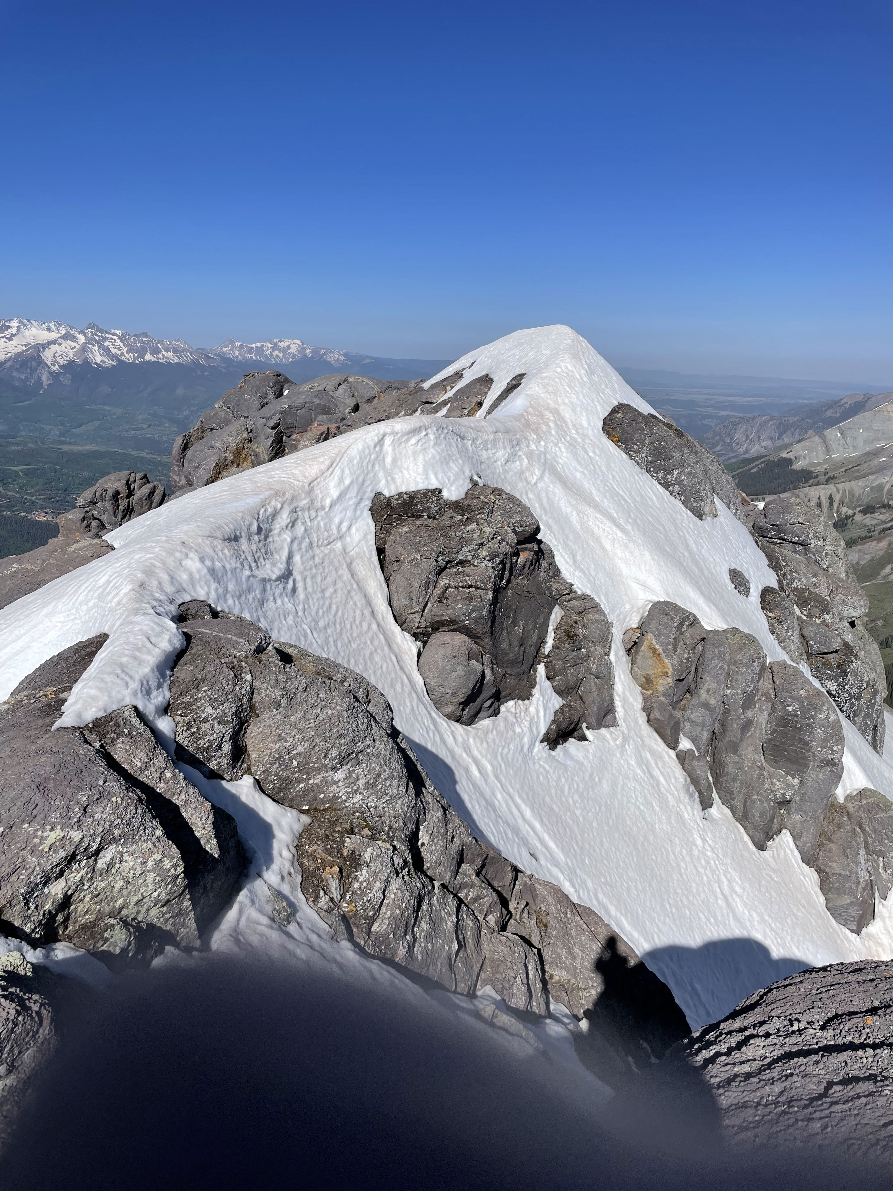
The final traverse to the top after gaining the summit block.
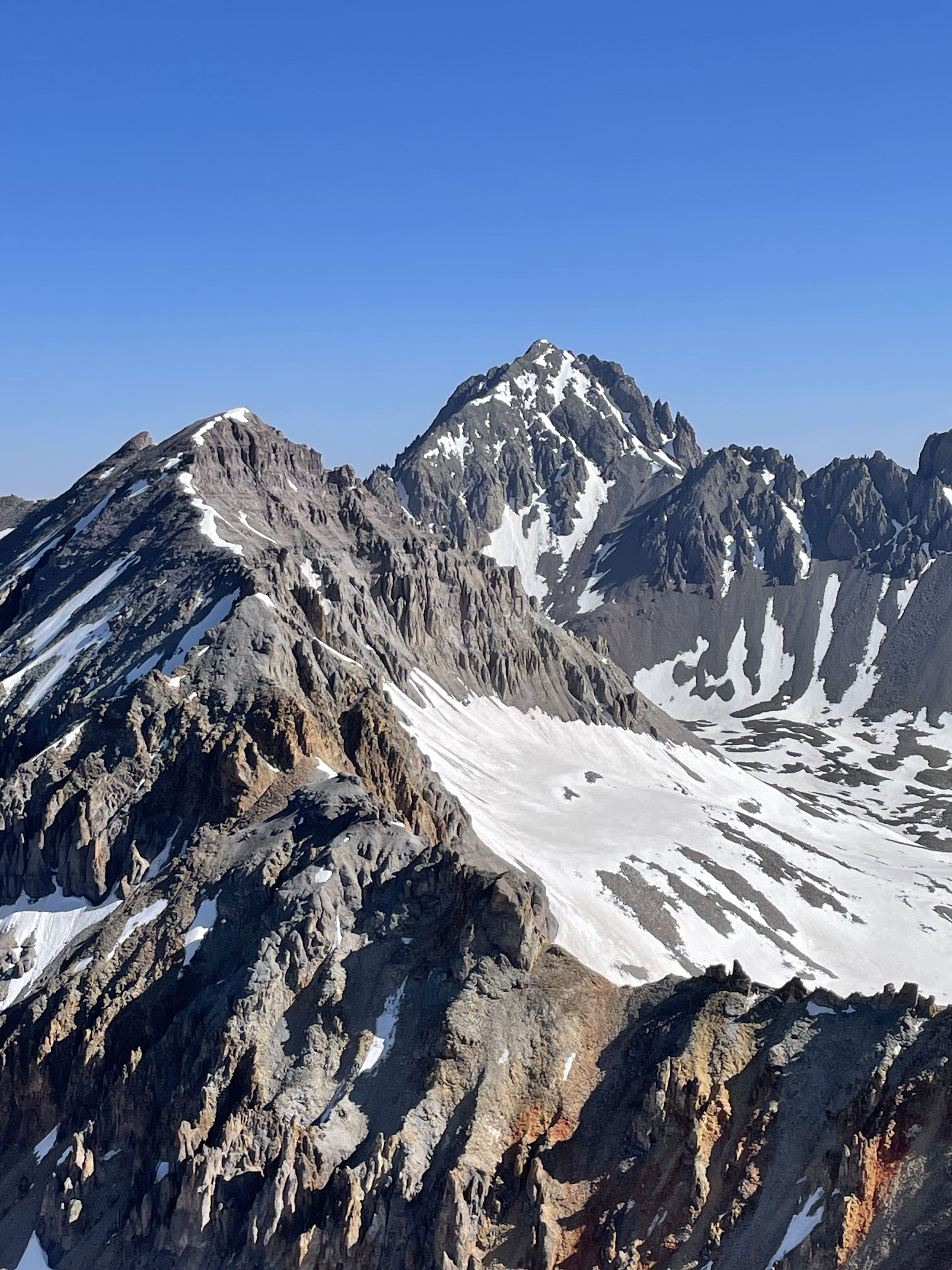
Mount Sneffels
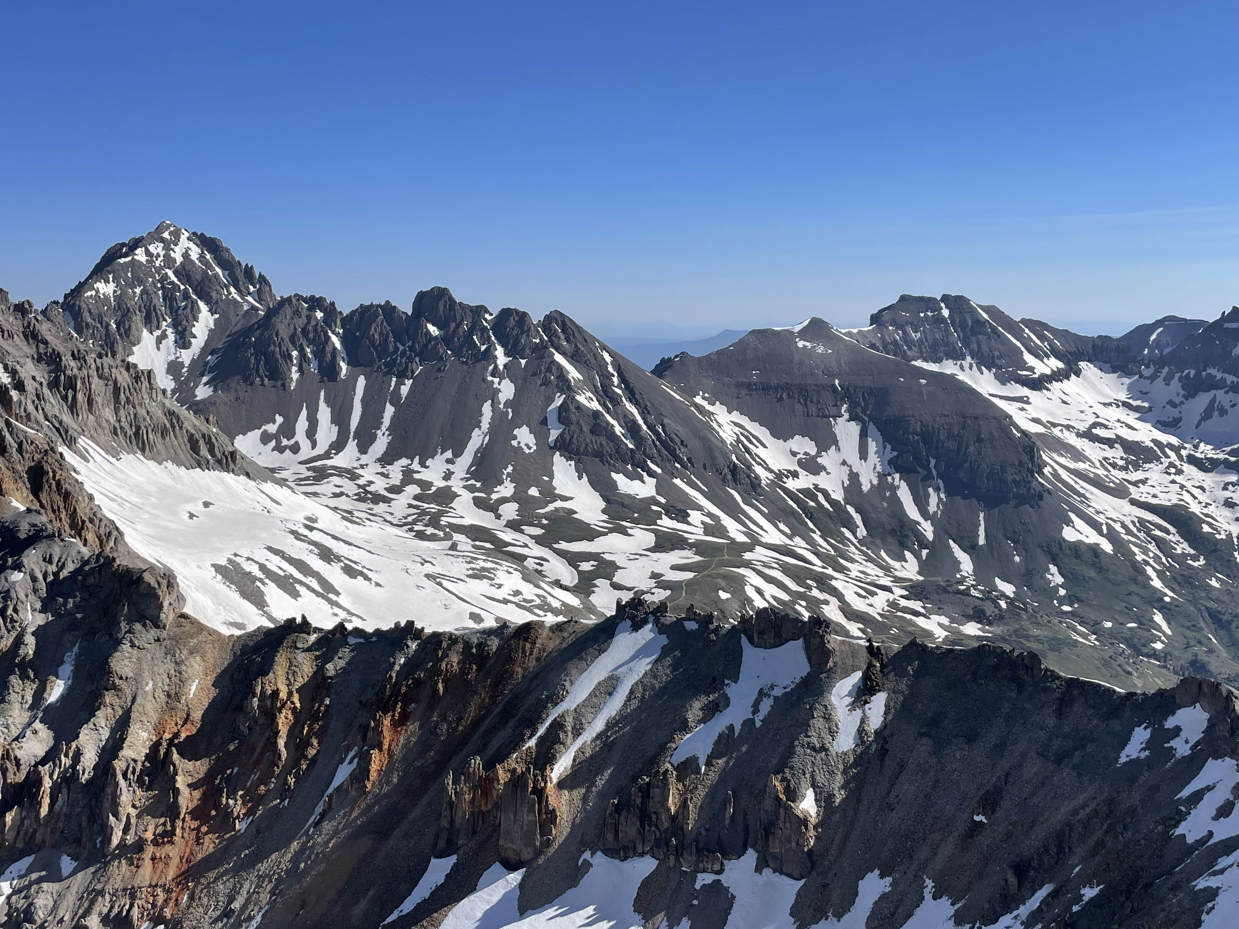
Views
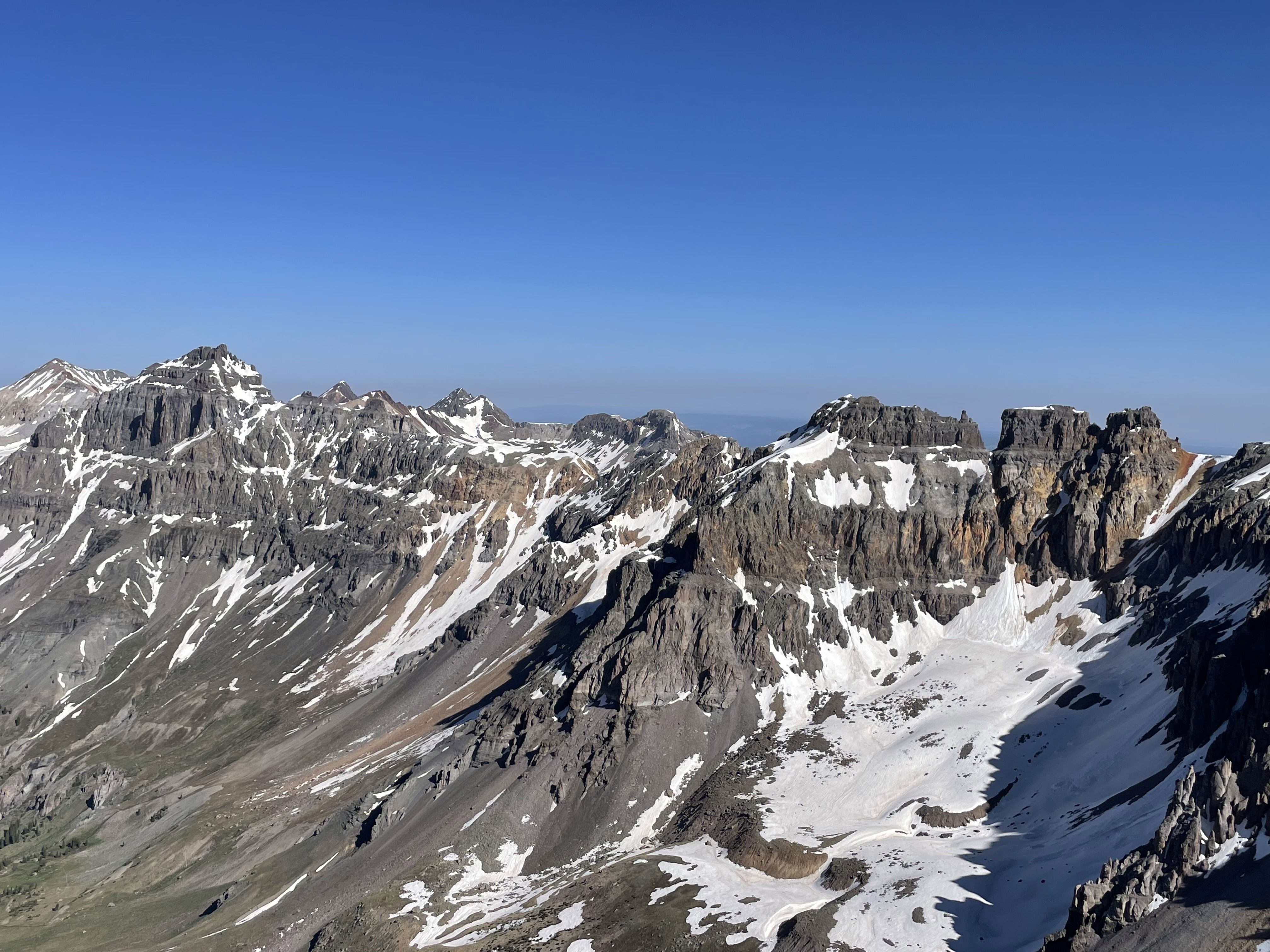
Views
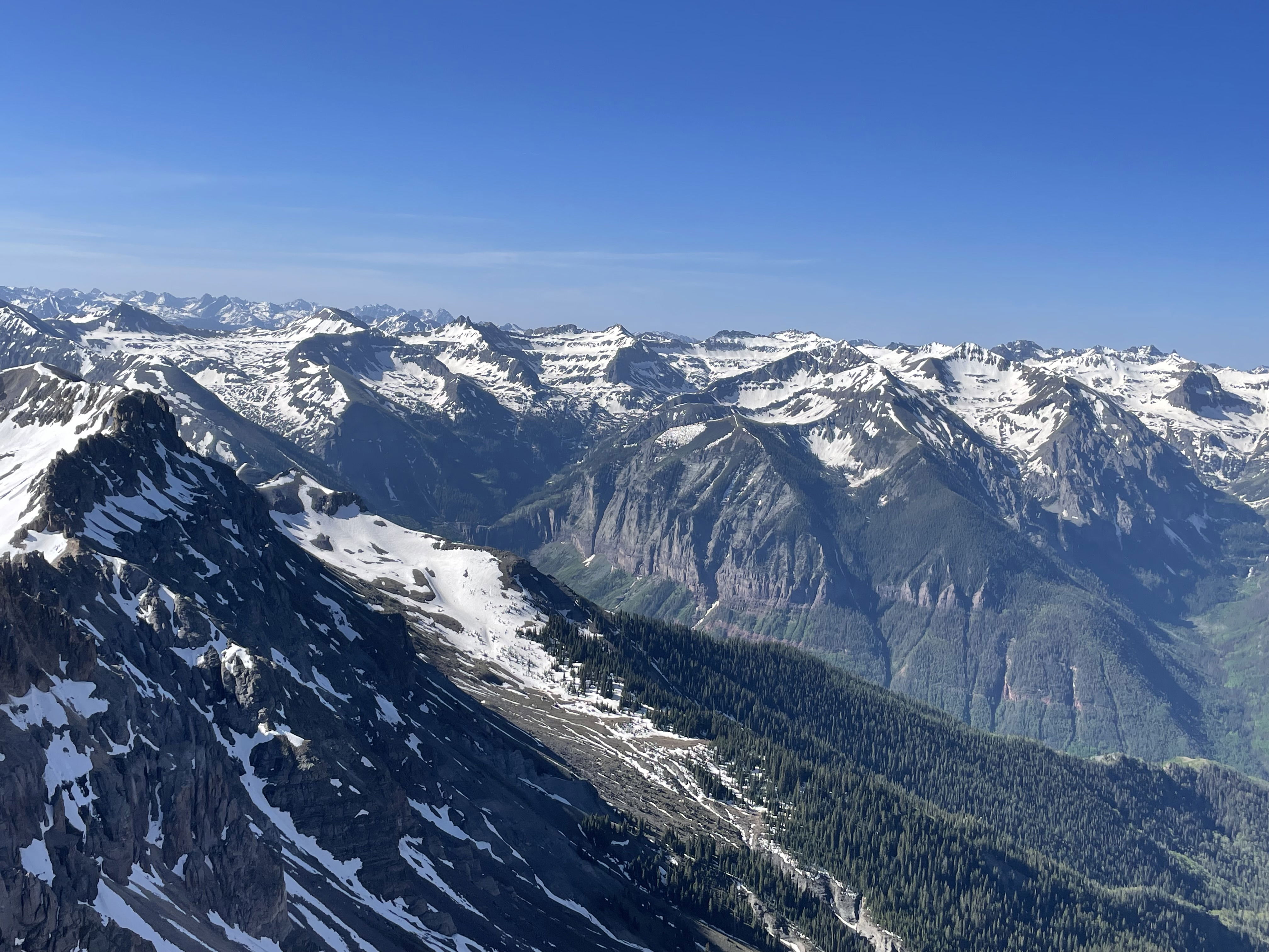
Views
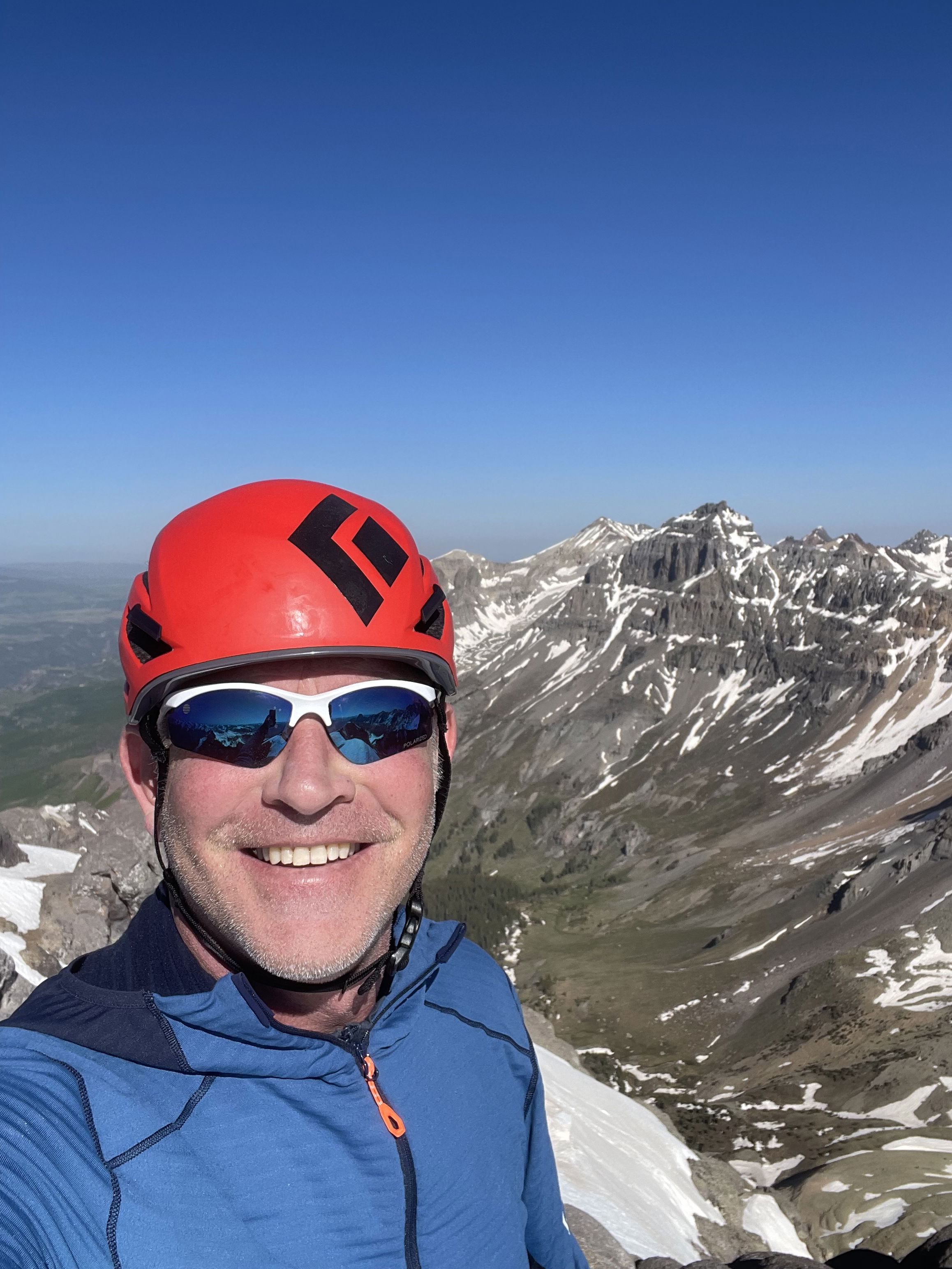
Summit Photo
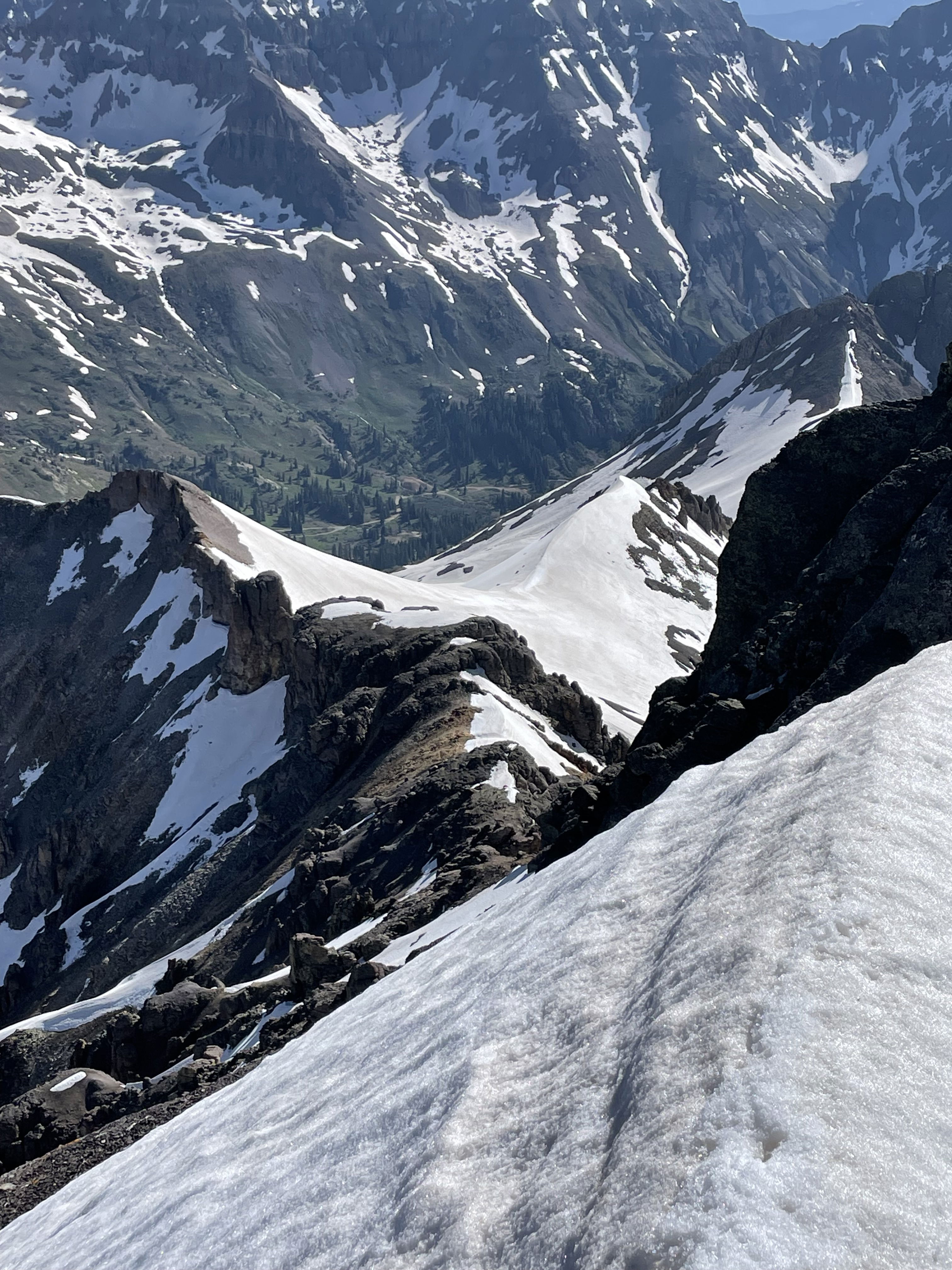
Looking down the northeast ridge and towards where I parked.
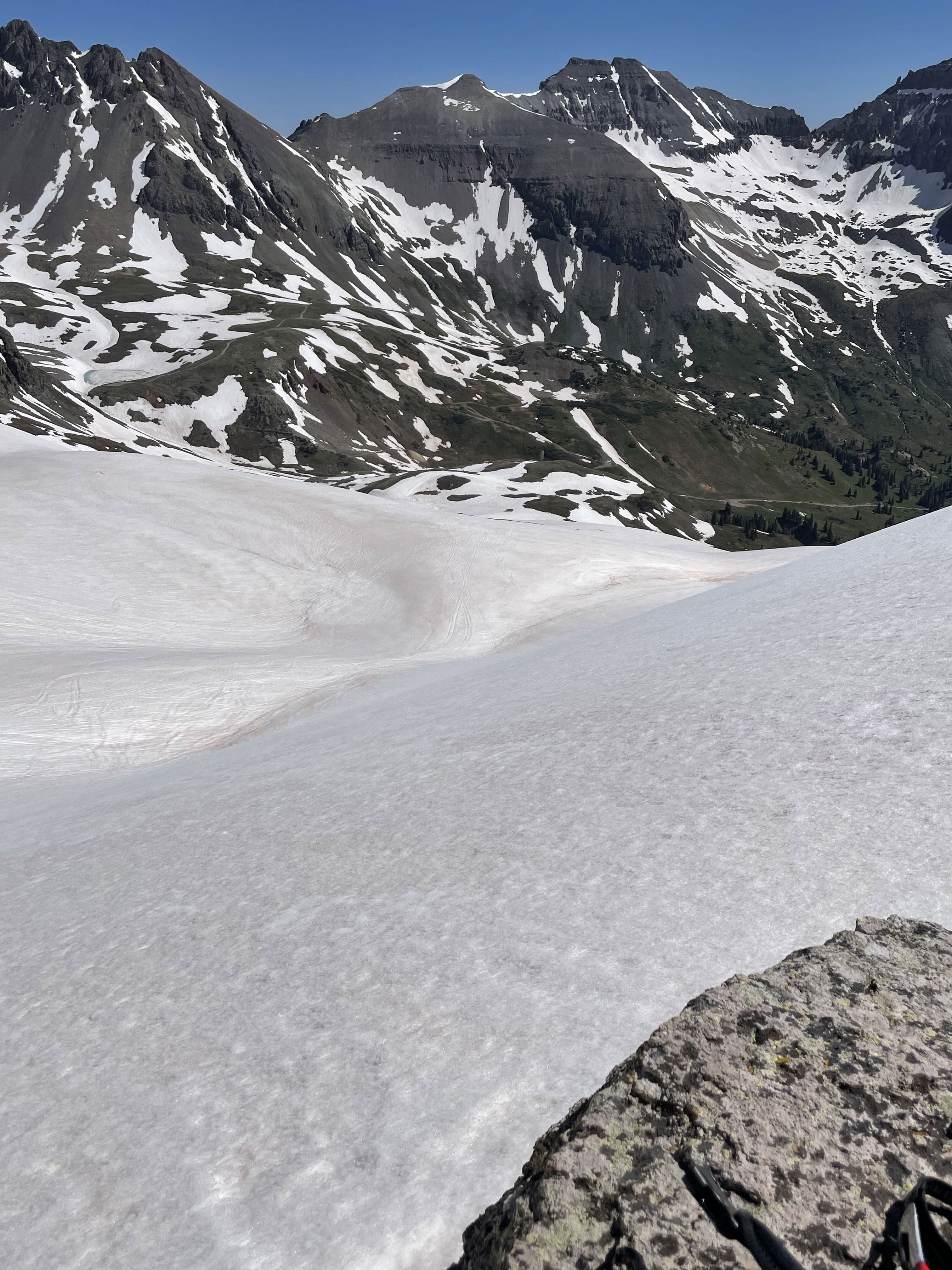
Back to the snowfield and several glissades.