
Mount Champion/Point 13736
Statistics
- Date - 06/19/2025
- Elevation - 13,646'/13,736'
- Route - South Slopes/South Ridge
- Miles - 7.0
- Elevation Gain - 3,600'
- ACME Mapper - Link
- CalTopo - Link
- Partners - Not Applicable
Description
Mount Champion and Point 13736 are two Bi-Centennial Peaks in the Satwatch Mountain Range of Colorado. Mount Champion's old map elevation is 13,646' and its new LIDAR elevation is one foot lower at 13,645'. After the new elevations were established, Mount Champion moved from 170th to 173rd tallest mountain in Colorado. Point 13736's old map elevation is obviously 13,736' and its new LIDAR elevation is two feet higher at 13,738'. Despite getting taller, Point 13736 still moved down from 133rd to 135th tallest in the state.
I was able to get two new Bi-Centennial Peaks with one trip on this hike. After hiking just a short distance up the North Fork Lake Creek Trail, I turned east and had to remove my socks and shoes to cross the creek. Once I dried off and put my gear back on, I worked my way up Lackawanna Gulch on various use and game trails up to 12,000'. At this point, I turned north and worked my way up the south slopes of Mount Champion past Champion Mine to the summit.
I felt fairly well upon reaching Mount Champion after gaining approximately 2,850' in 2.5 hours. The hiking was steep and off trail for the most part, but it was all class 2 with scrambling only required if you wanted to in some large boulders high on the south slopes. I dropped north off of Mount Champion's summit to traverse over to Point 13736. The ridge was fun and easy to negotiate, and you gain about 400' from the low point on the ridge to the summit of Point 13736.
There is not a reasonable way to return to the trailhead without reversing your route and reclimbing Mount Champion. This requires an additional 300' of elevation gain on the hike out, but it wasn't too bad. The weather was great all day and I was glad to climb two additional peaks. I left the trailhead at 8:00 am and reached the summit of Mount Champion at 10:30 am. I spent 15 minutes on the top and started the traverse at 10:45 am. I reached Point 13736 after 40 minutes of hiking at 11:25 am. I spent another 15 minutes on the top and started the traverse back at 11:40 am. I reached Mount Champion a second time at 12:20 pm and made it back to the trailhead at 2:00 pm for a six hour car-to-car day.
Photos
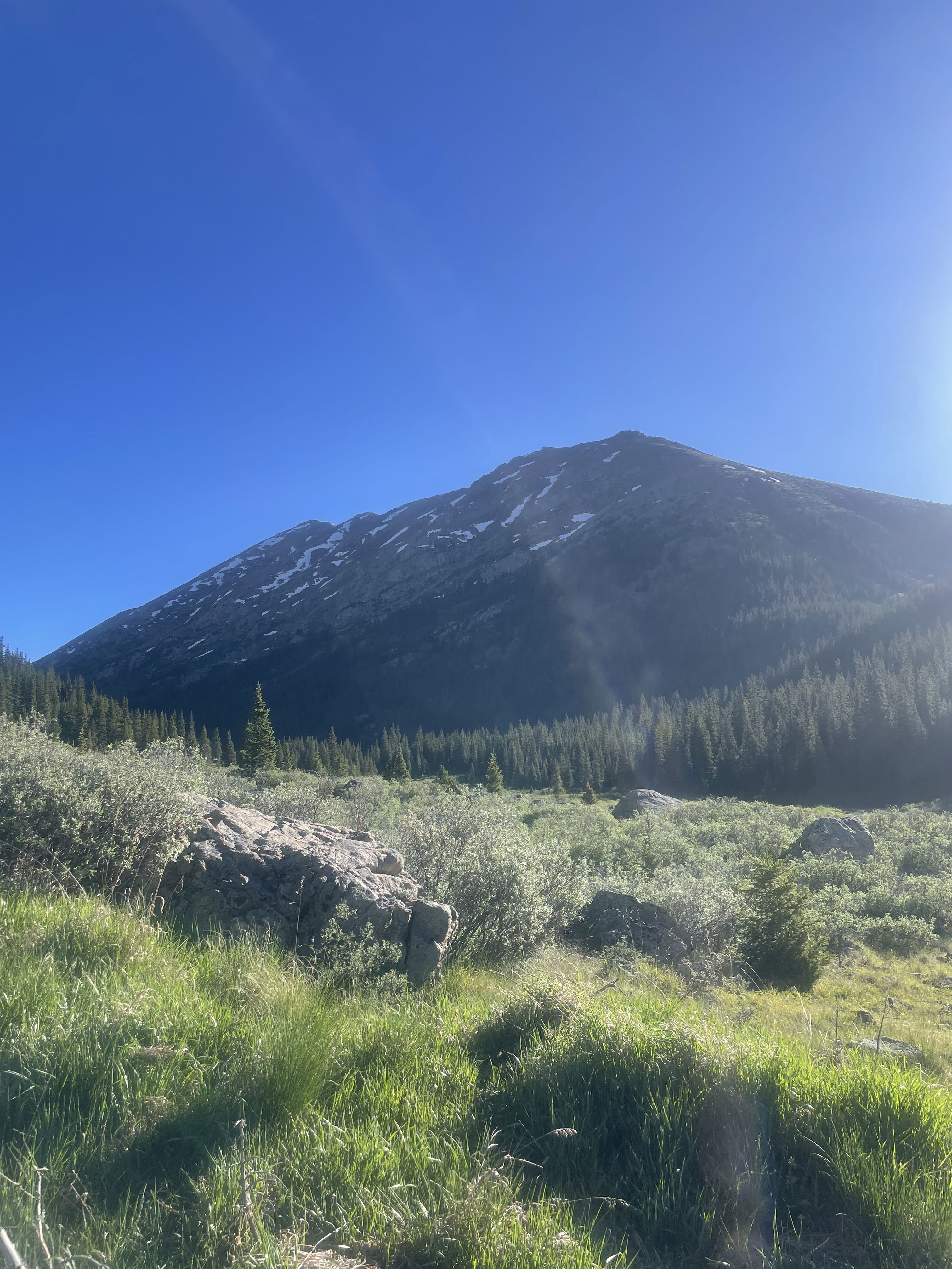
Point 13736 and Mount Champion from near the start of the hike.
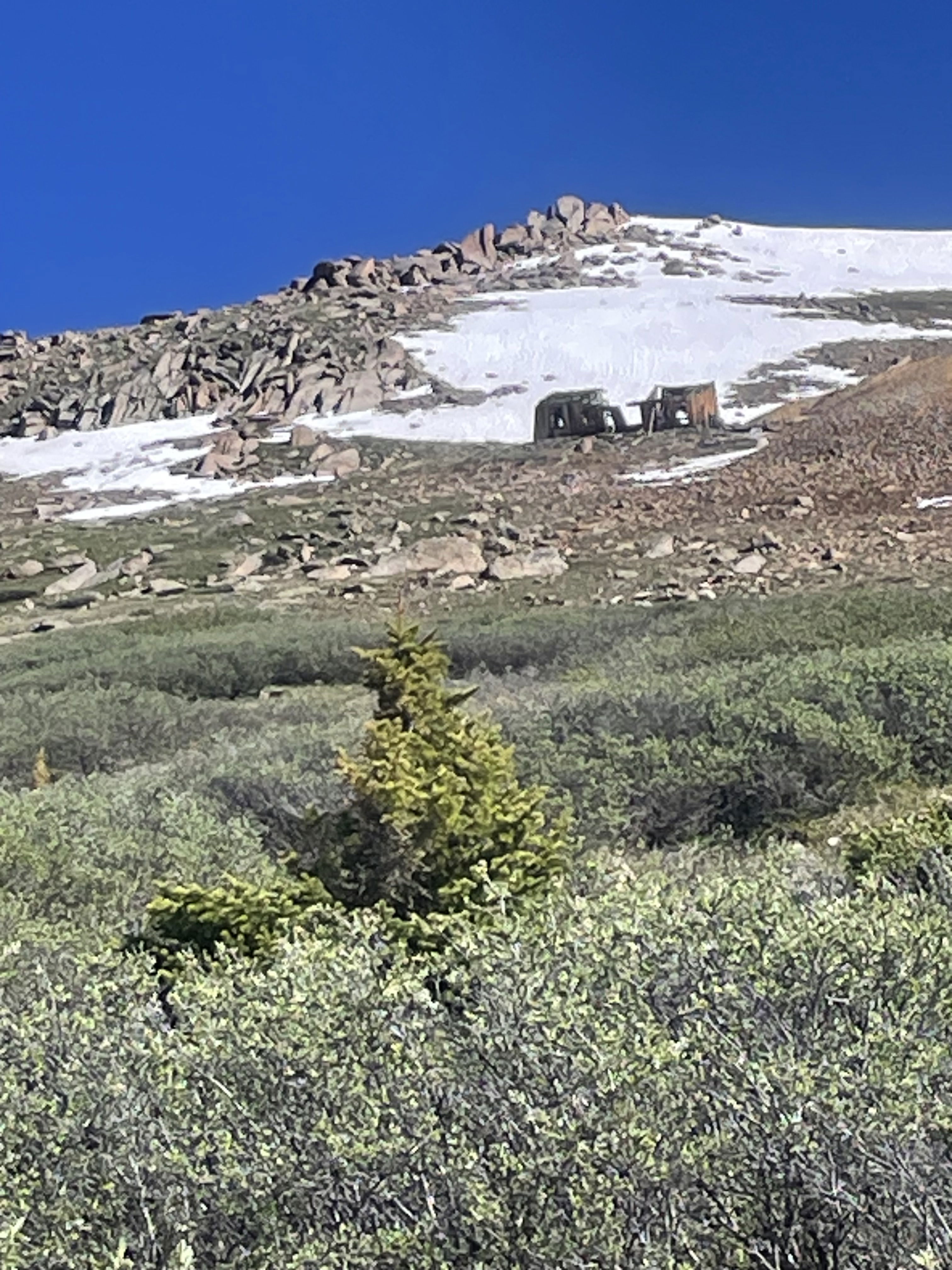
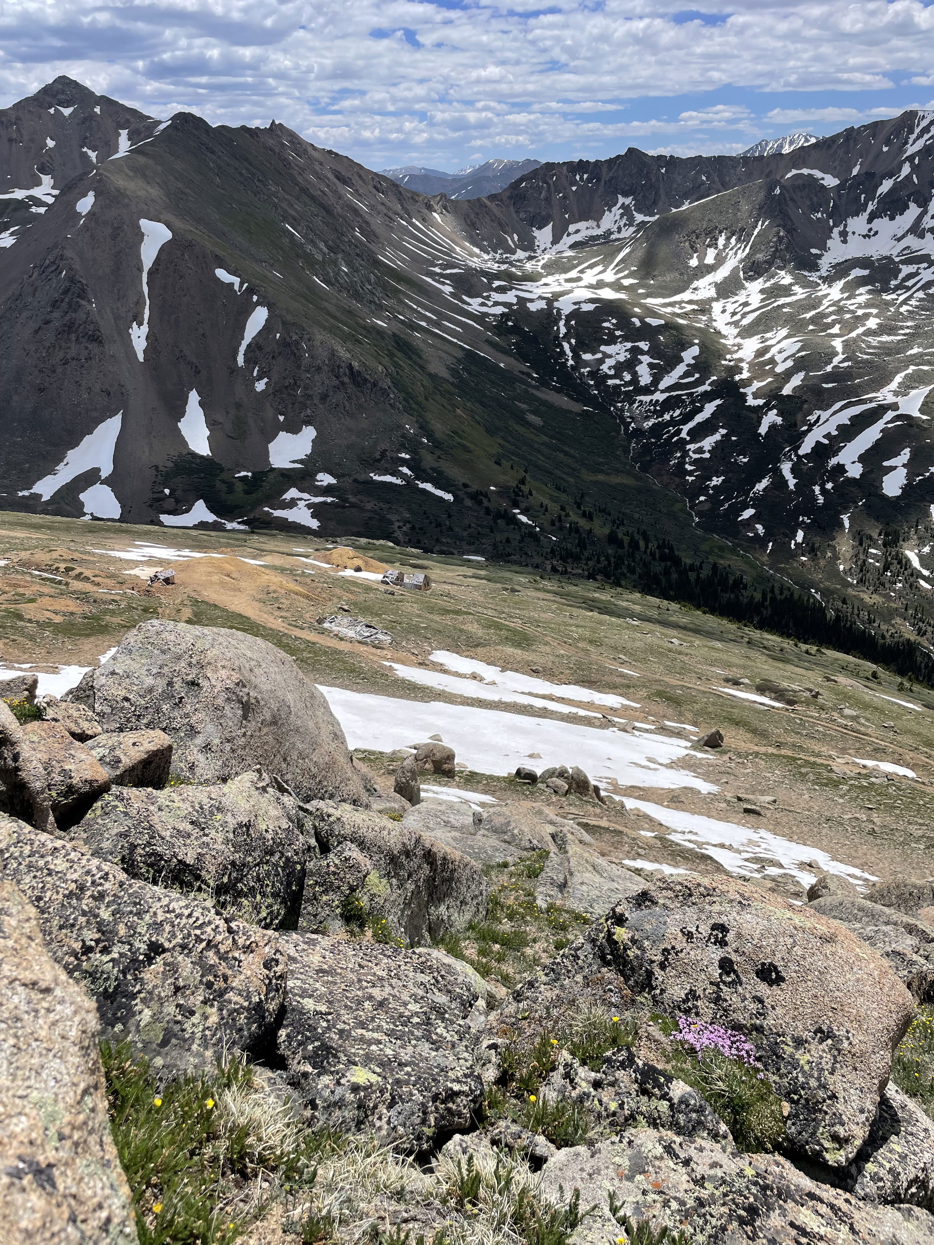
A zoomed in shot of Champion Mine and a false summit.
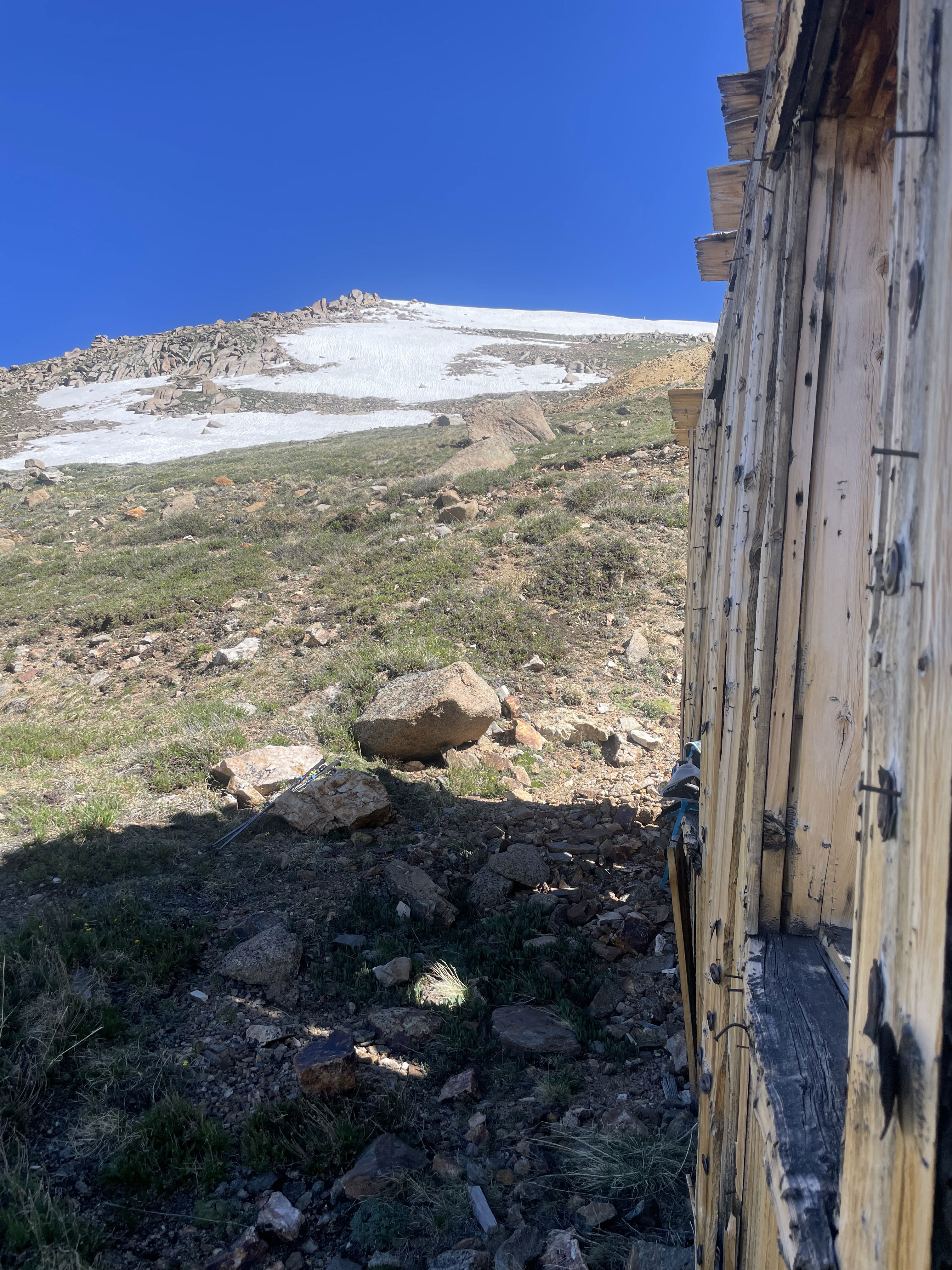
The false summit of Mount Champion from the Champion Mine ruins.
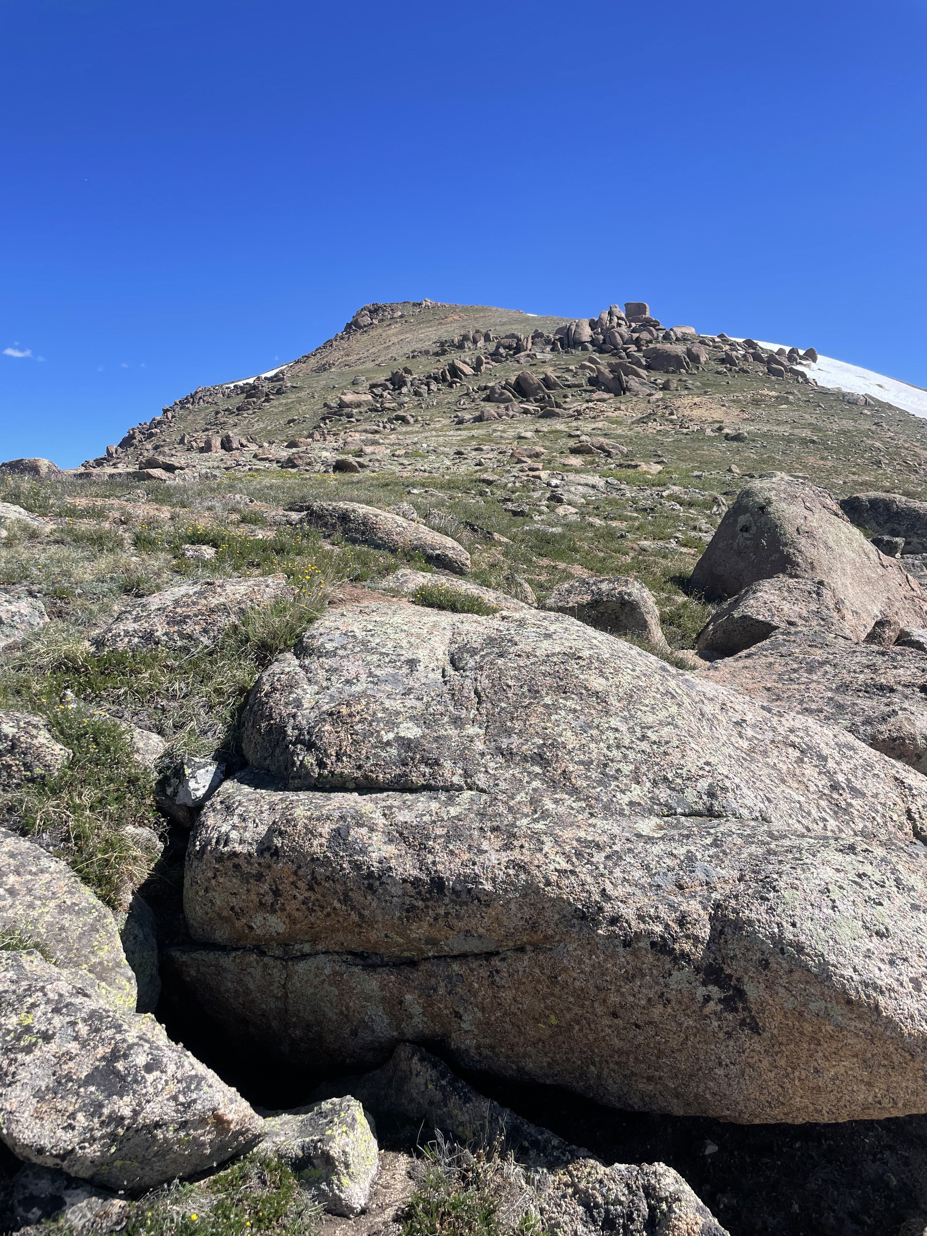
My first look at the true summit of Mount Champion.
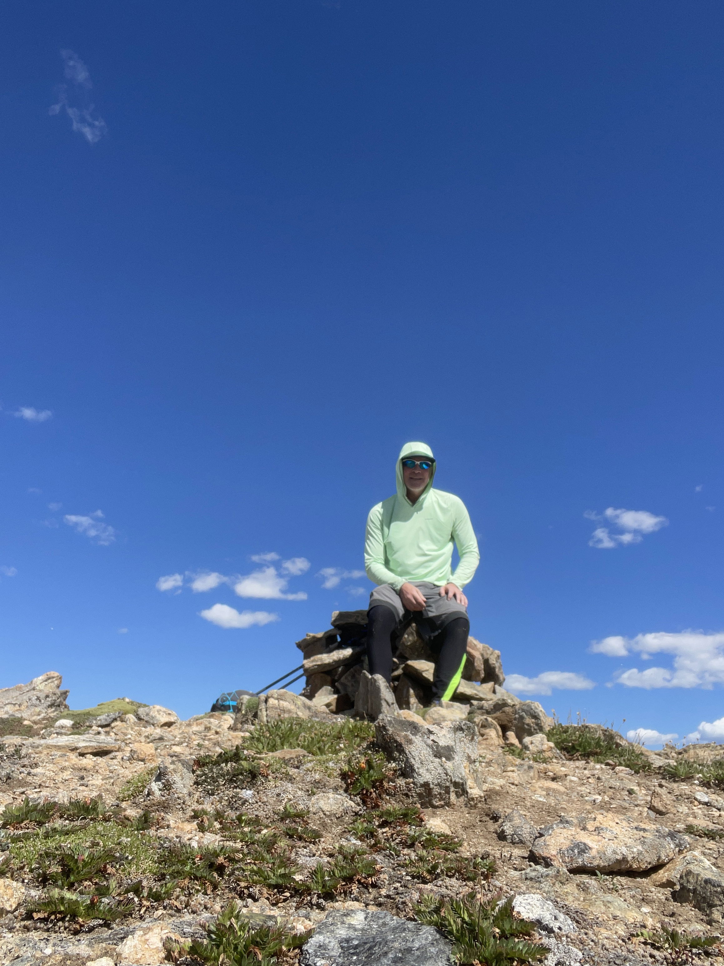
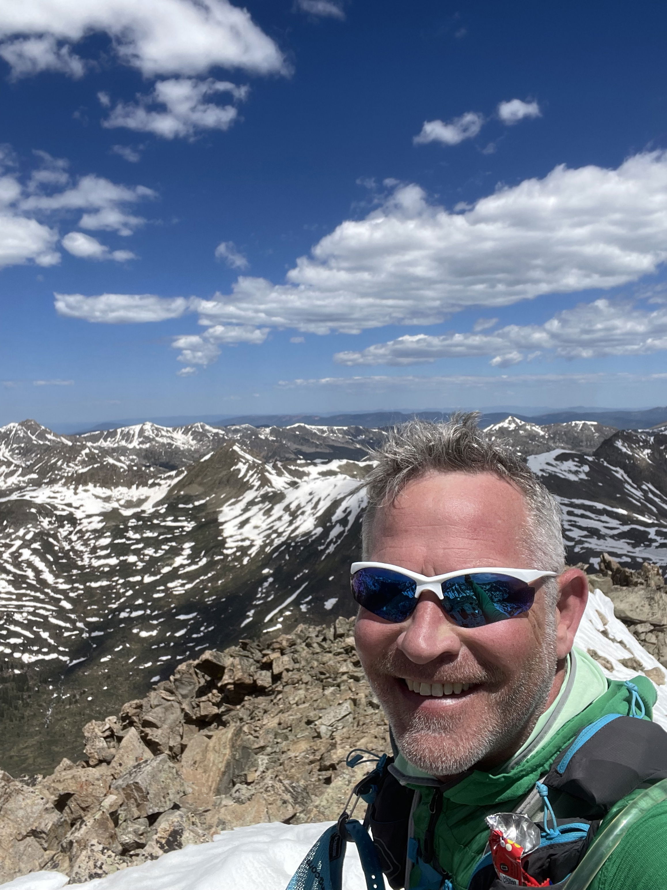
Summit Photo (Mount Champion)
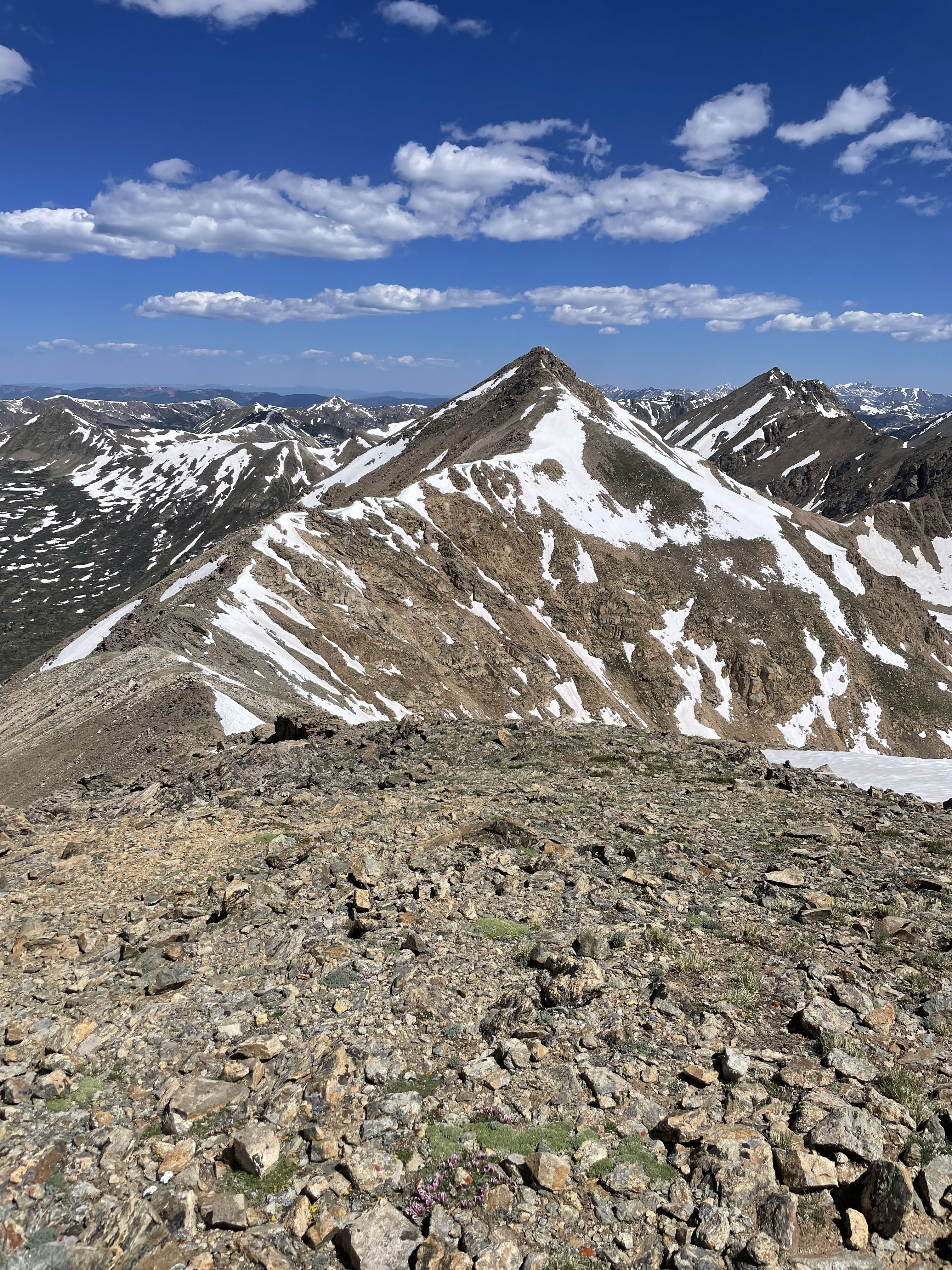
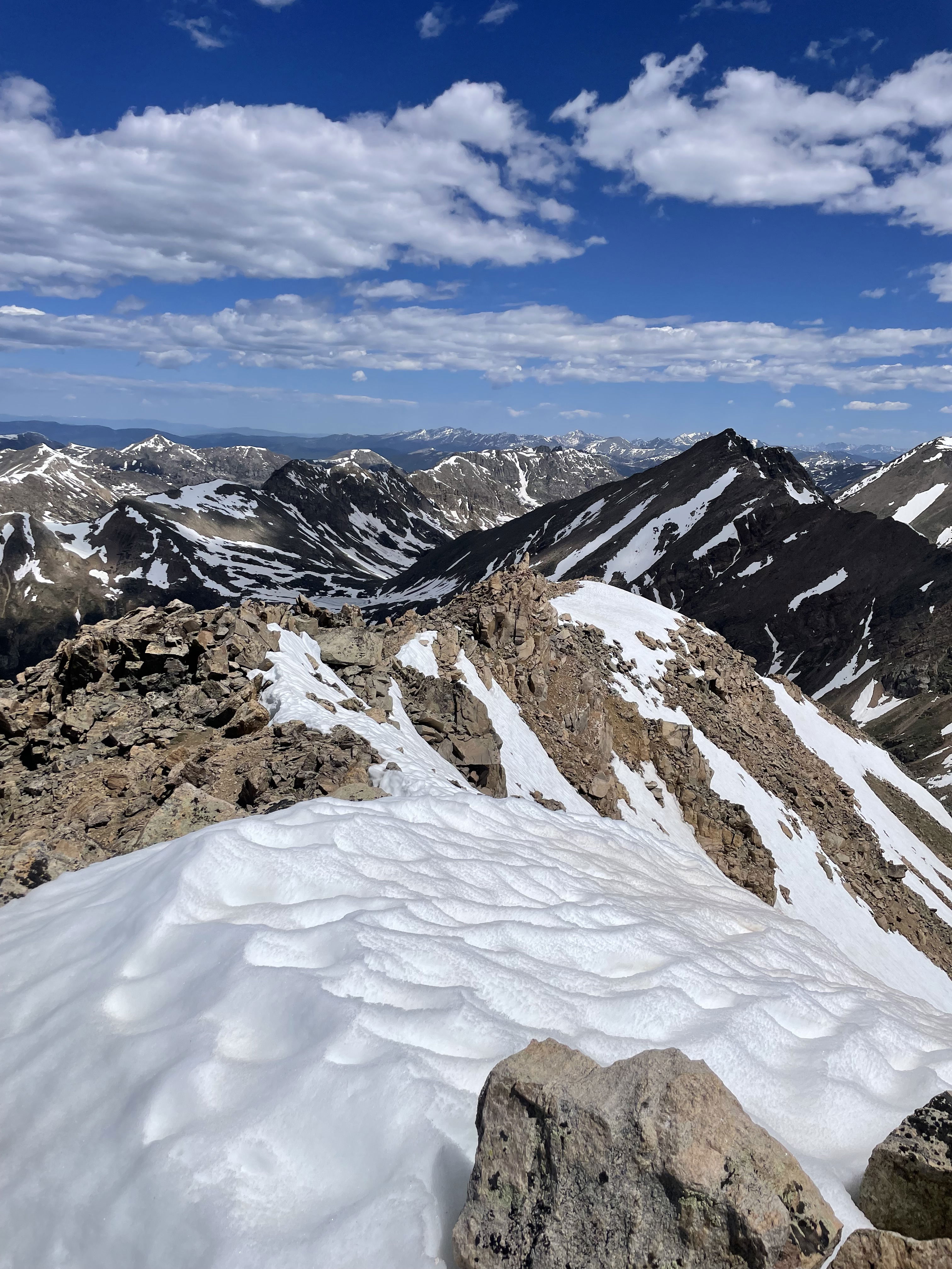
Point 13736 from Mount Champion.
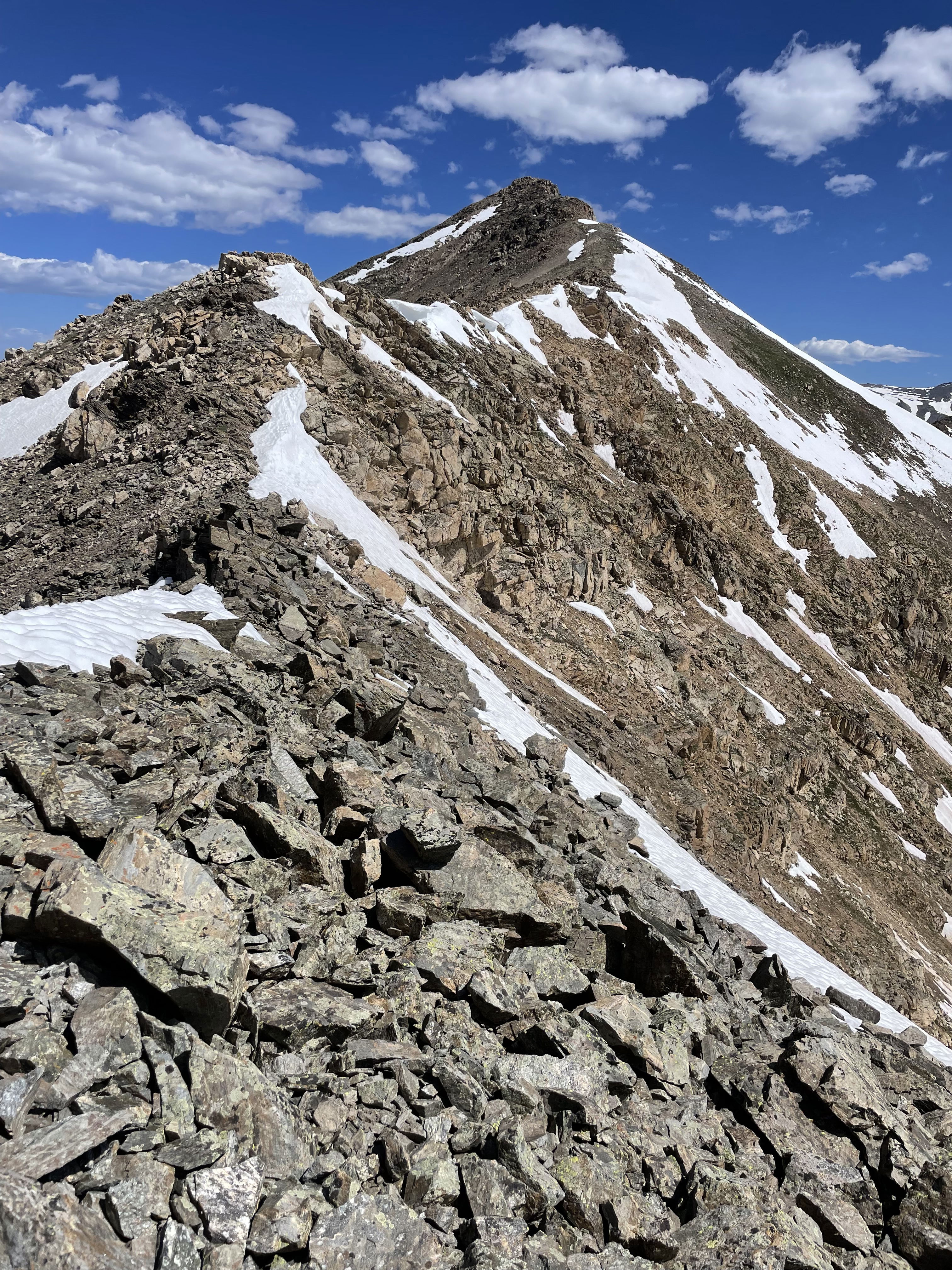
Point 13736 from near the low point of the traverse from Mount Champion.
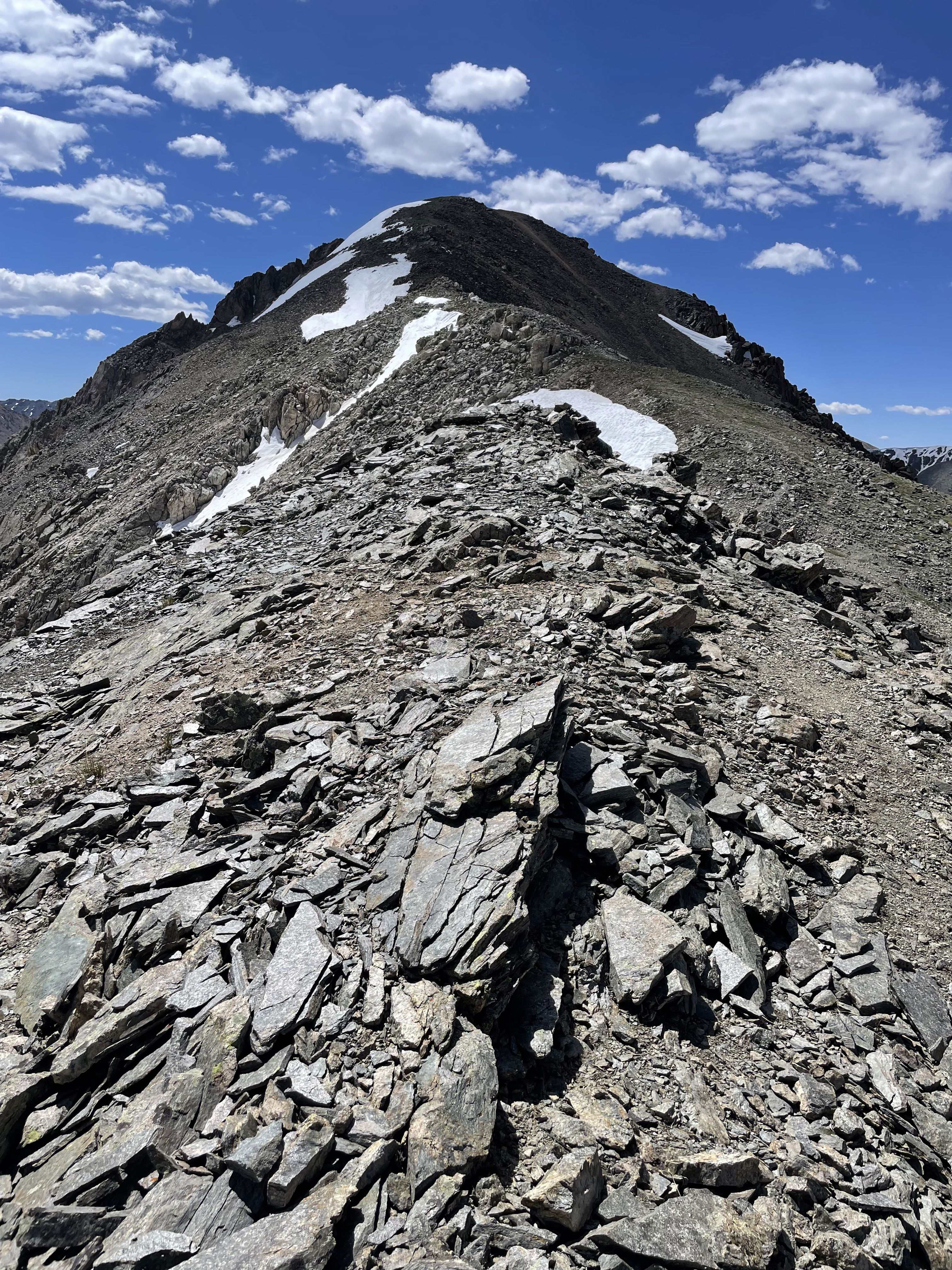
Mount Champion from near the low point of the traverse to Point 13736.
Summit Photo (Point 13736)
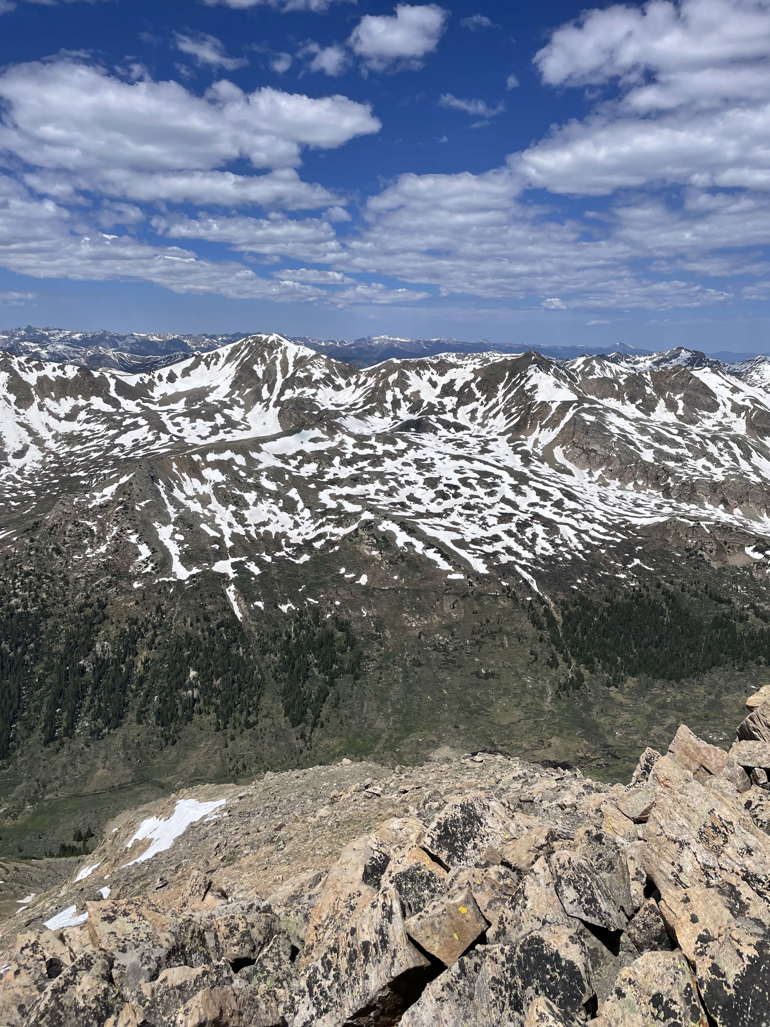
Views to the north from Point 13736.
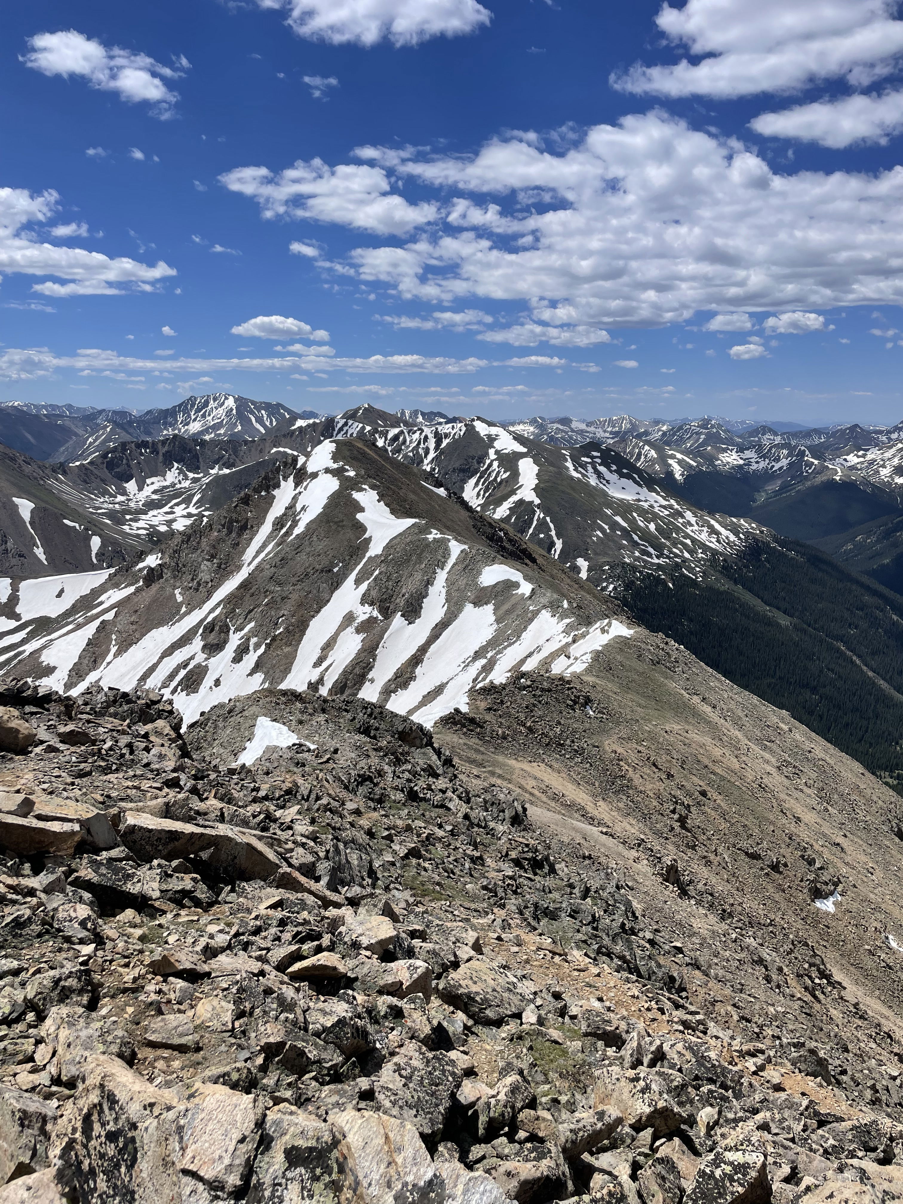
Views to the west from Point 13736.
Views to the south and Mount Champion from Point 13736.
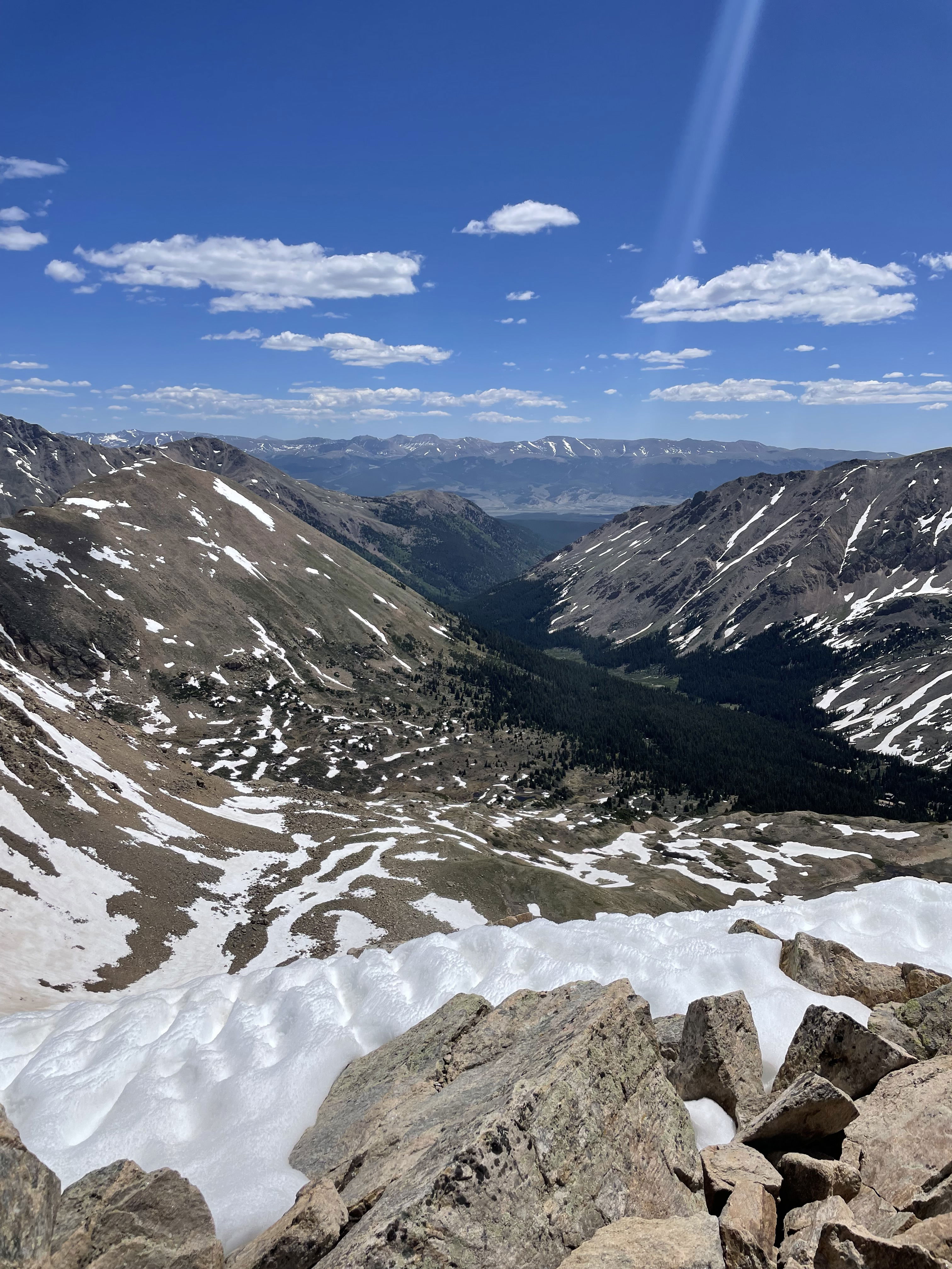
Views to the east from Point 13736.
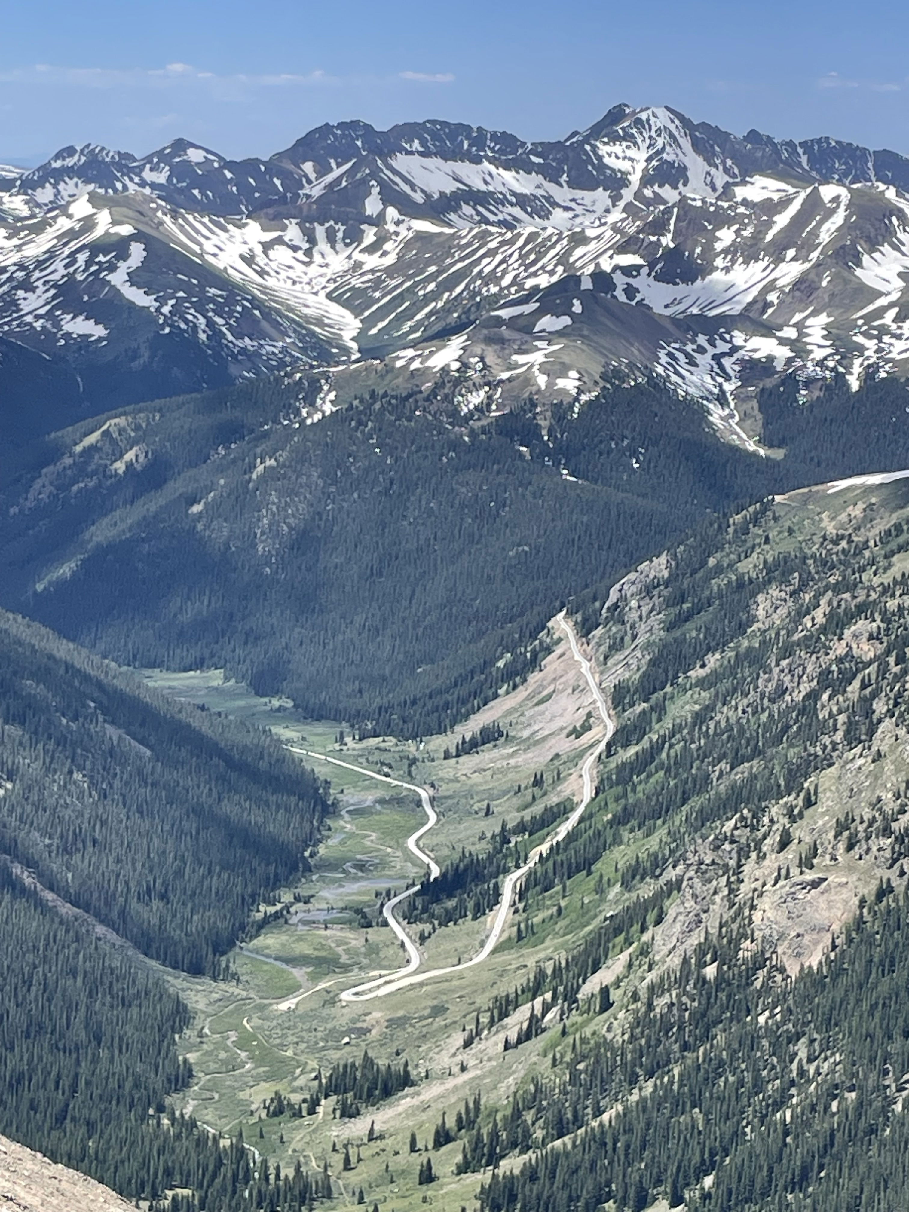
Looking at the trailhead and the road to Independence Pass.
Looking down the south slopes of Mount Champion.
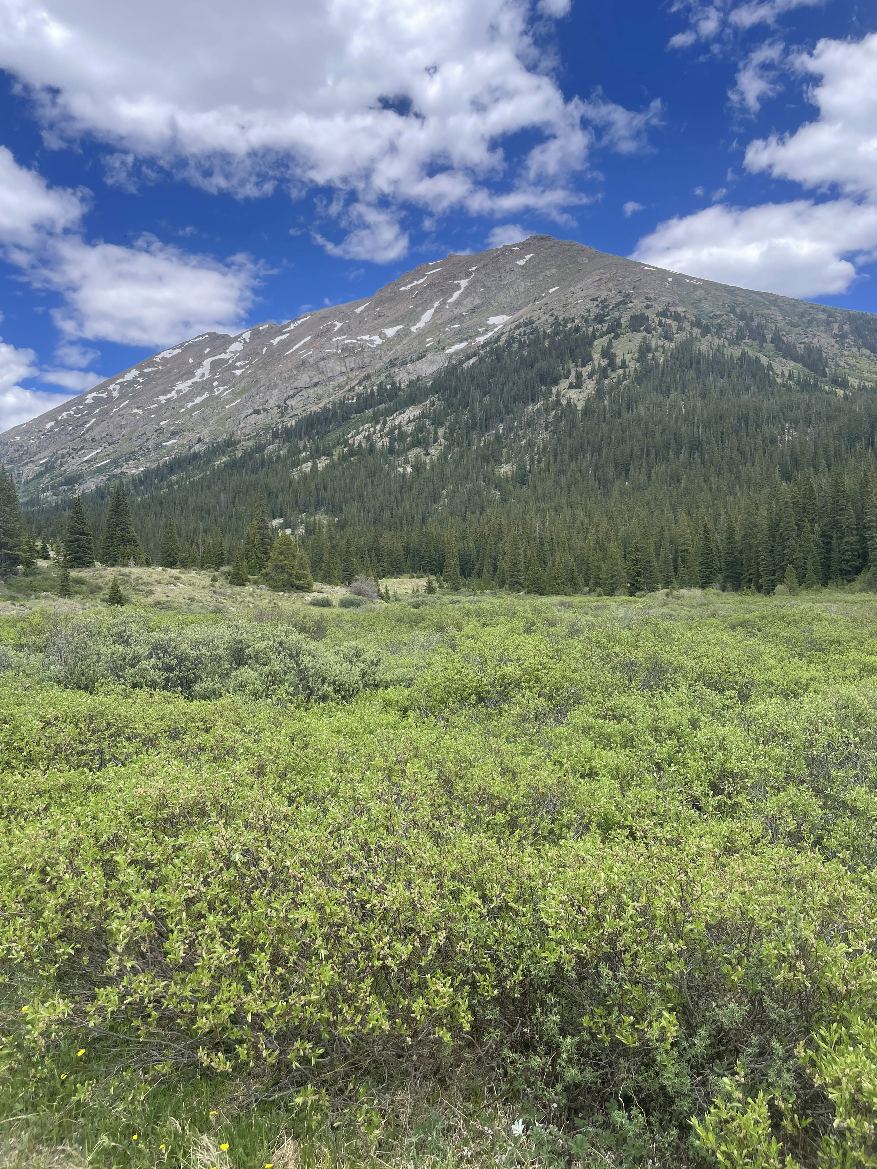
Point 13736 and Mount Champion from near the start of the hike.