
Gilpin Peak
Statistics
- Date - 06/14/2025
- Elevation - 13,694'
- Route - North Ridge Couloir
- Miles - 4.4
- Elevation Gain - 2,407'
- ACME Mapper - Link
- CalTopo - Link
- Partners - Not Applicable
Description
Gilpin Peak is a Bi-Centennial Peak and the 148th tallest mountain in Colorado according to old map elevations. The new LIDAR elevation is five feet higher at 13,699', but Gilpin Peak remains the 148th highest peak in the state.
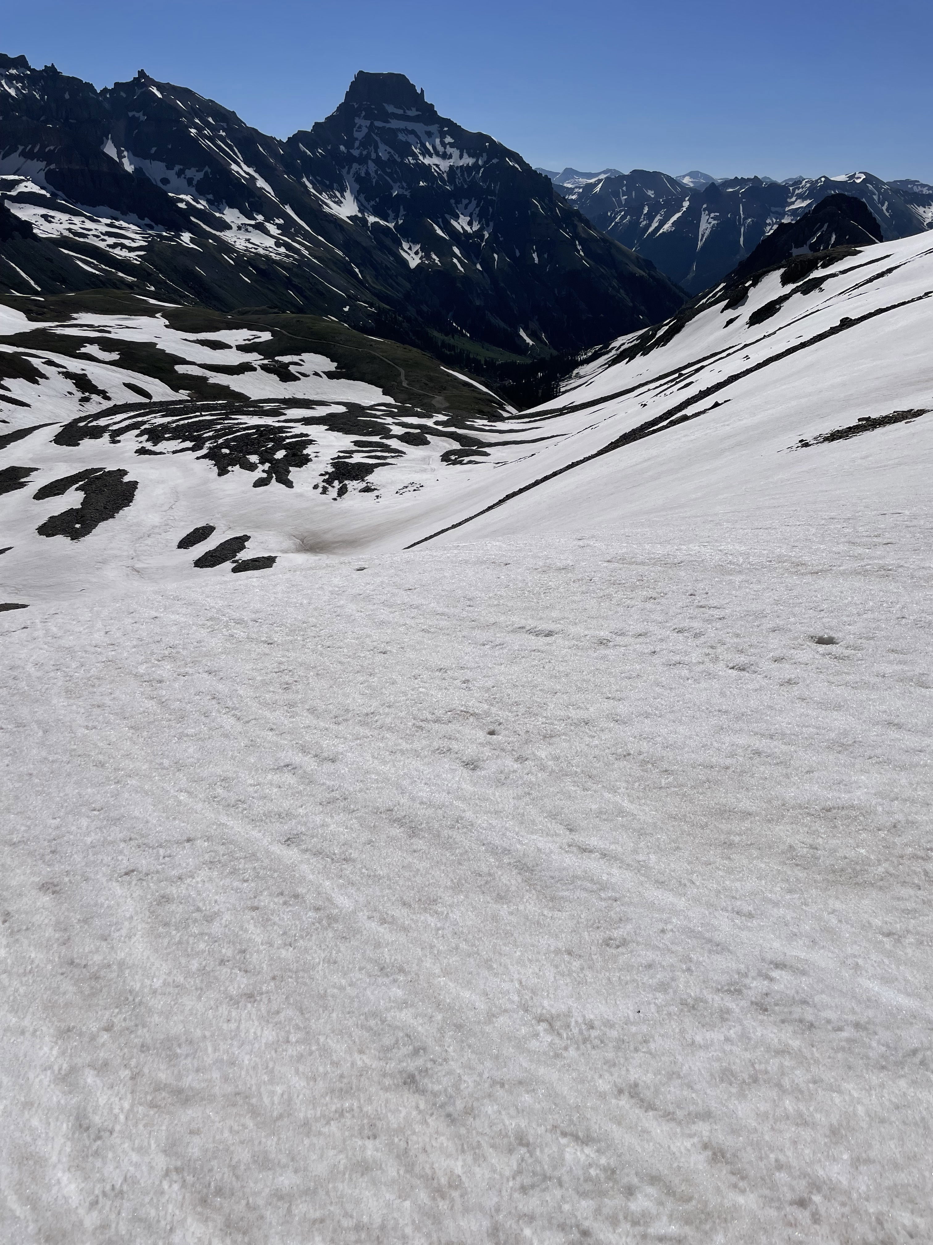
After climbing Mount Emma the previous day, I returned to Yankee Boy Basin to attempt another Bi-Centennial Peak. Similar to Twining and Emma, the statistics for this climb are relatively low. From where I parked on the road at around 11,600', I was able to hike directly east up the road, past Wrights Lake, to the base of the climb mostly on snow. I put my crampons on shortly before the lake and didn't take them off until I was at the top of the snow climb on Gilpin's north ridge.
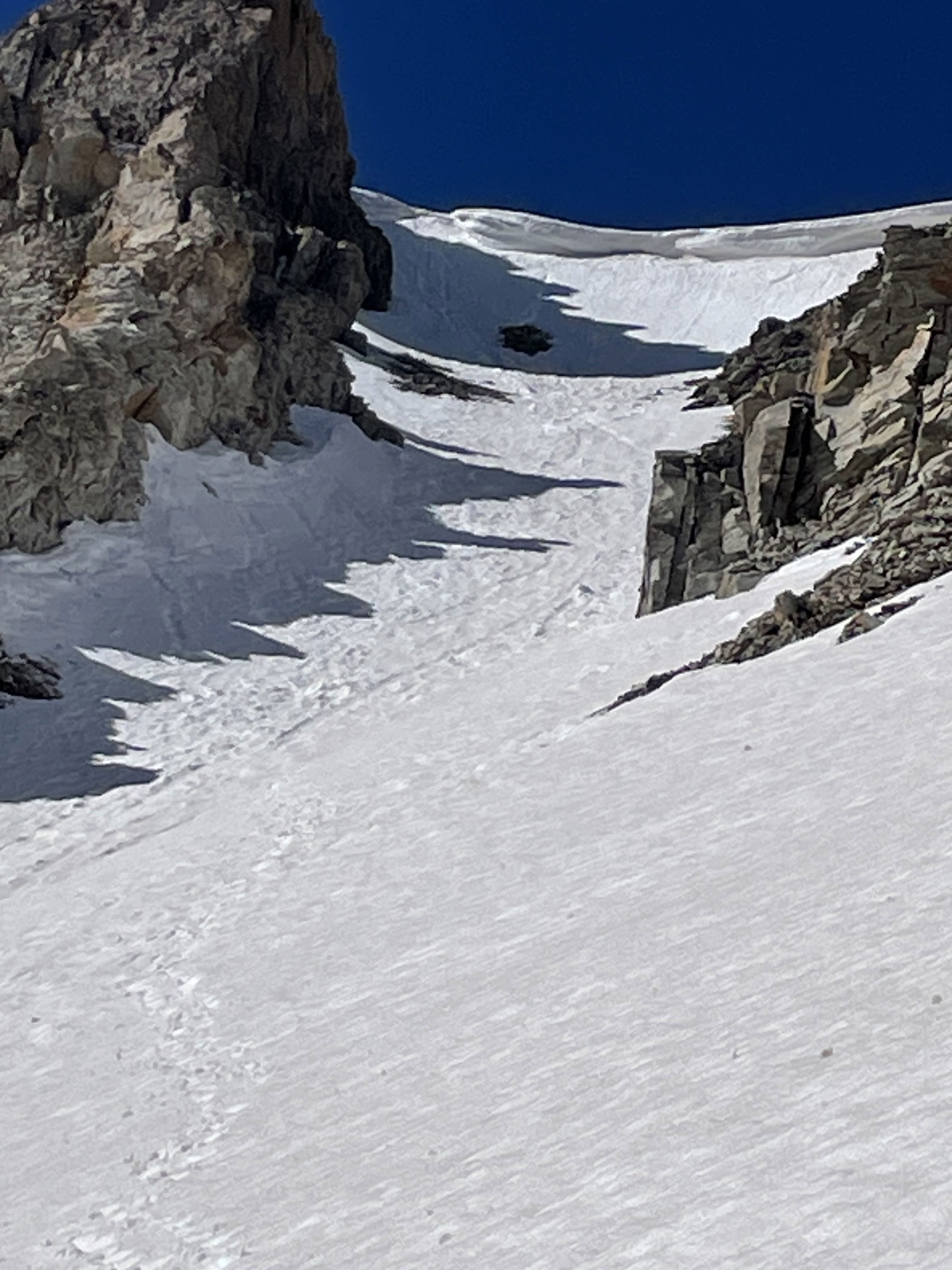
Unlike the previous day, snow conditions were perfect neve all the way from the lake through the couloir. Conditions obviously softened up on the descent, but there was still very little post-holing on the way out. To my surprise, the snow climb was longer and steeper than it looked. The very top near the cornice was particularly attention grabbing. I went right of the cornice to exit the couloir, but that side had seen a fair amount of sun by the time I reached it; therefore, a few steps were starting to blow out and made me a little nervous.
Once on the ridge, it was around a 20 minute hike to the summit. Similar to the previous day, I only stayed long enough to take a few photos before reversing my route back to the top of the couloir. Since the (climber's) right side was already softening when I climbed up, I decided to downclimb skier's right since it was much firmer and out of the sun. I went down face in for at least 150 feet and had to kick between three and five times each step to punch through the snow and get a solid foot hold that wasn't just my front points.
After the angle eased up a bit, I was able to turn around and finish the descent face out to the point where I could glissade a few times. The hike out was uneventful. Although I saw numerous people hiking towards Mount Sneffels, I didn't notice anyone on the summit all day. My assumption is that snow in the final gully above the col turned anyone back without an ice axe and crampons. I completed this hike in 4 hours and 20 minutes.
Photos
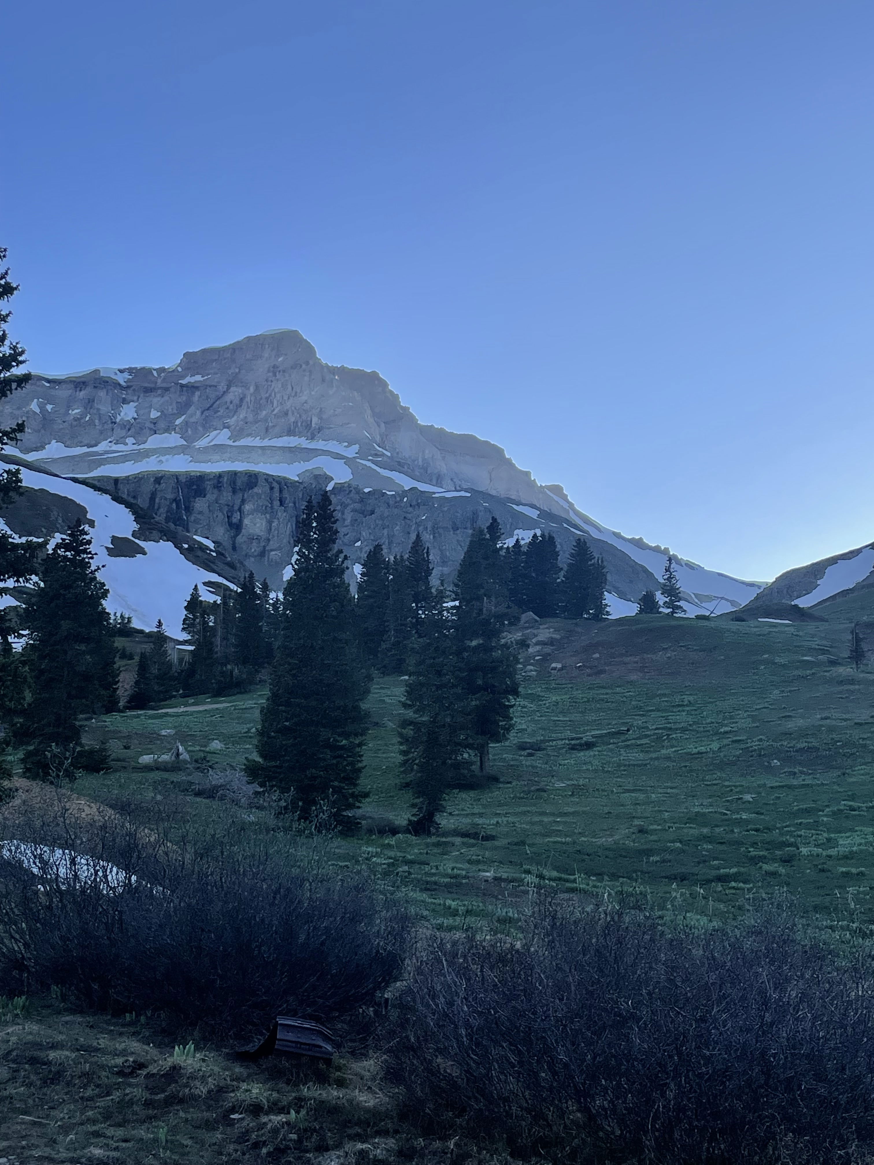
Gilpin Peak the evening before my hike.
Mount Sneffels on the approach.
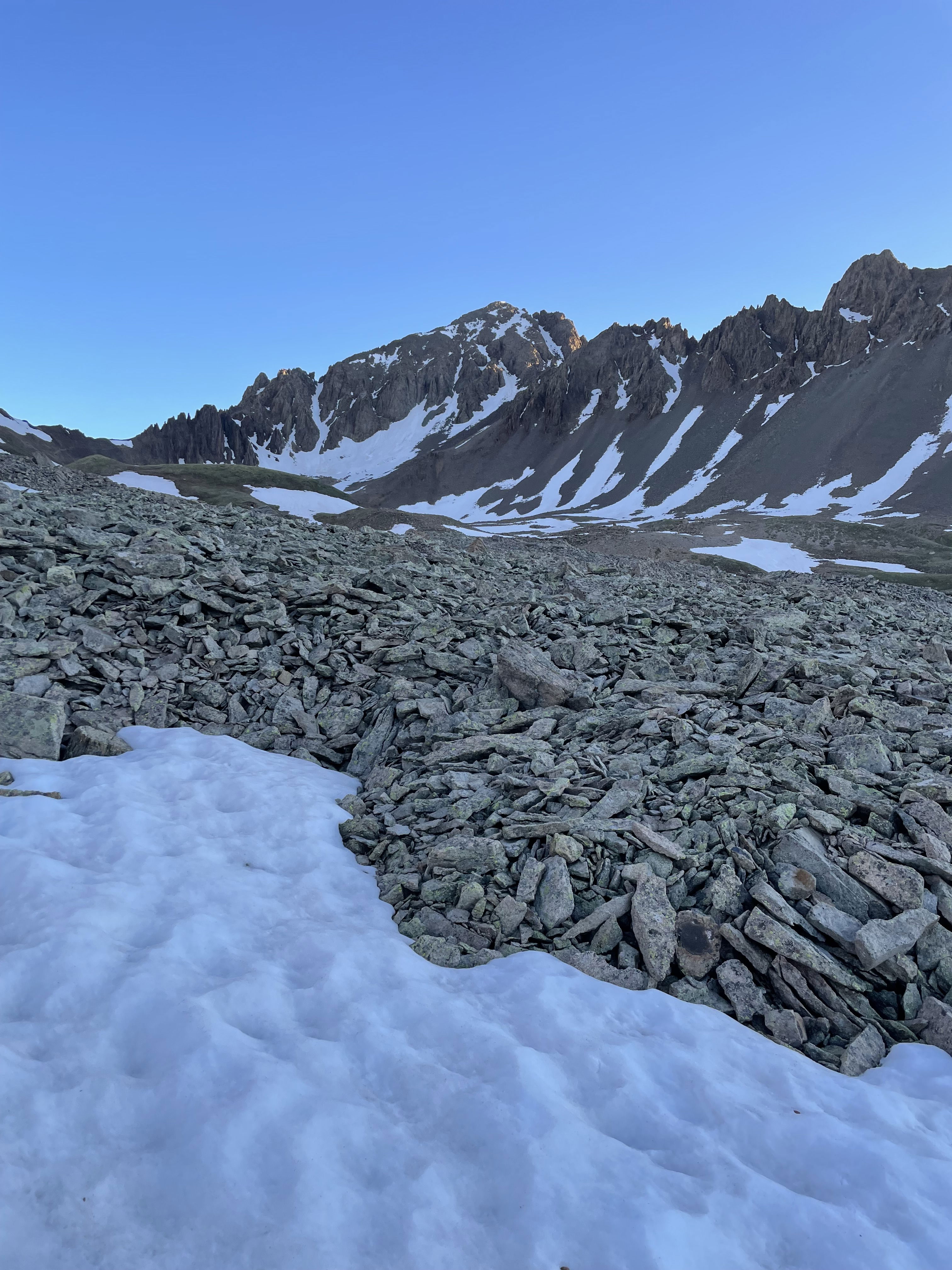
Gilpin Peak on the approach.
Hiking towards Blue Lakes Pass above Wrights Lake.
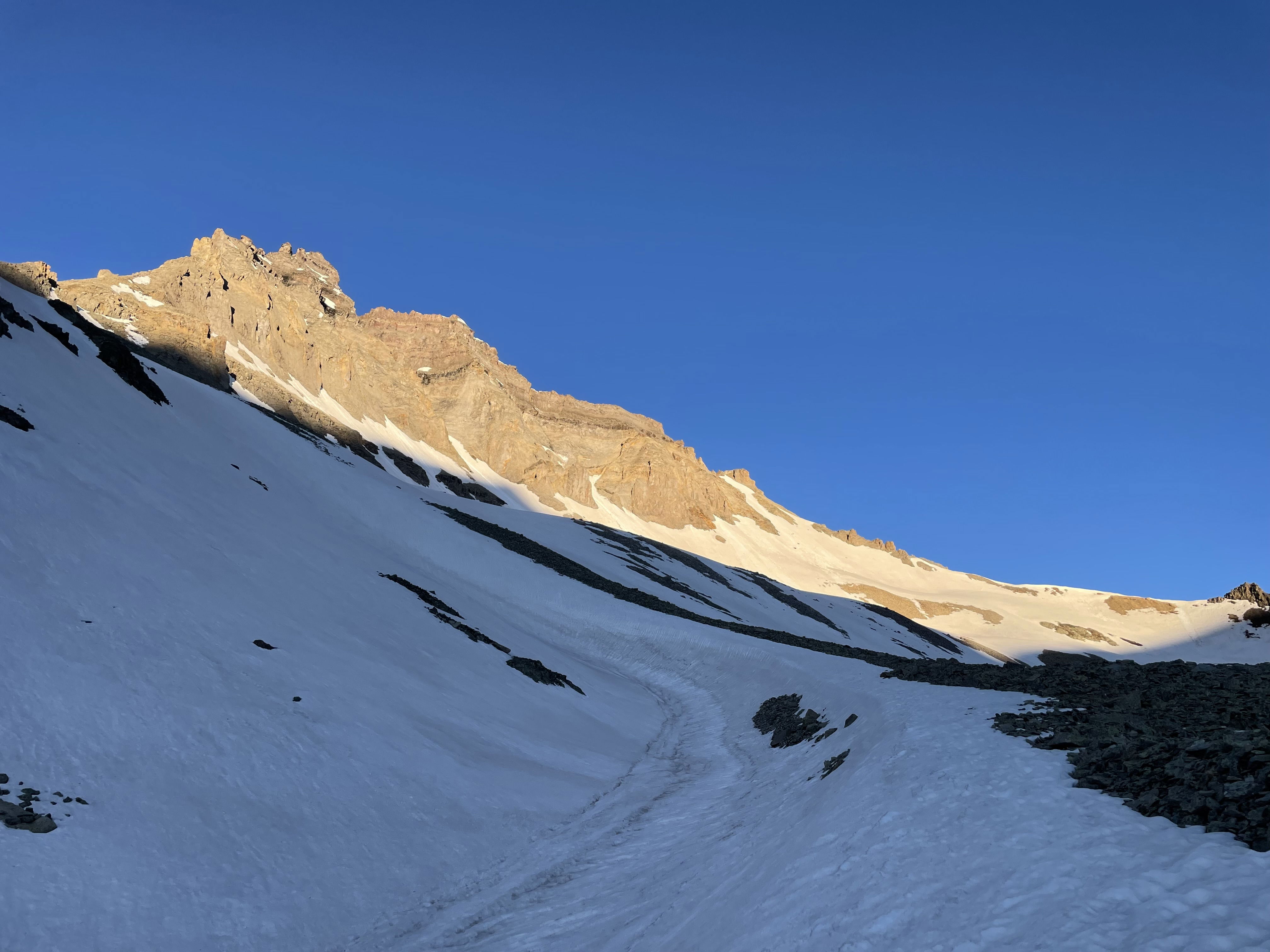
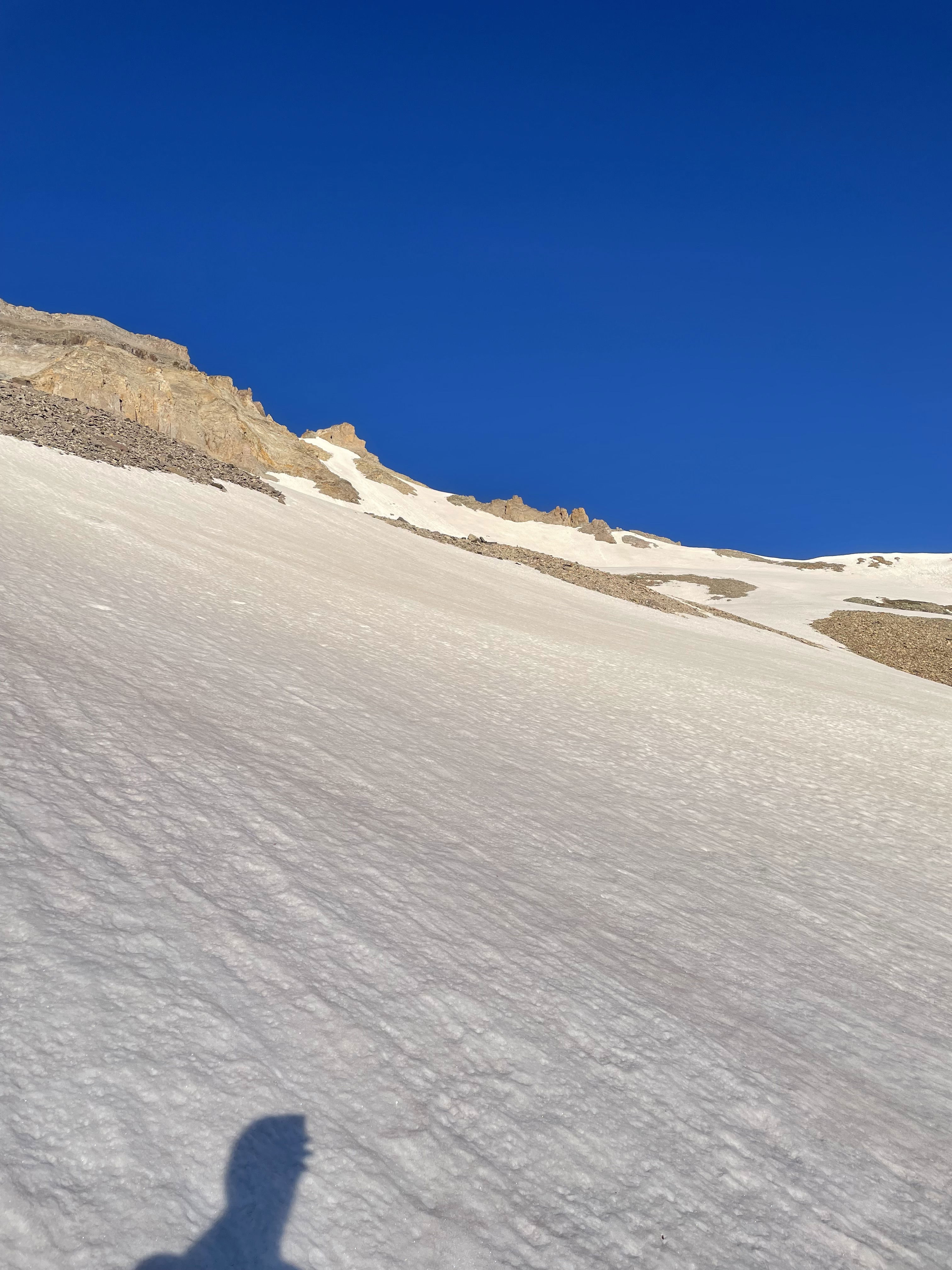
On the large apron of the couloir.
Mount Sneffels after gaining some elevation.
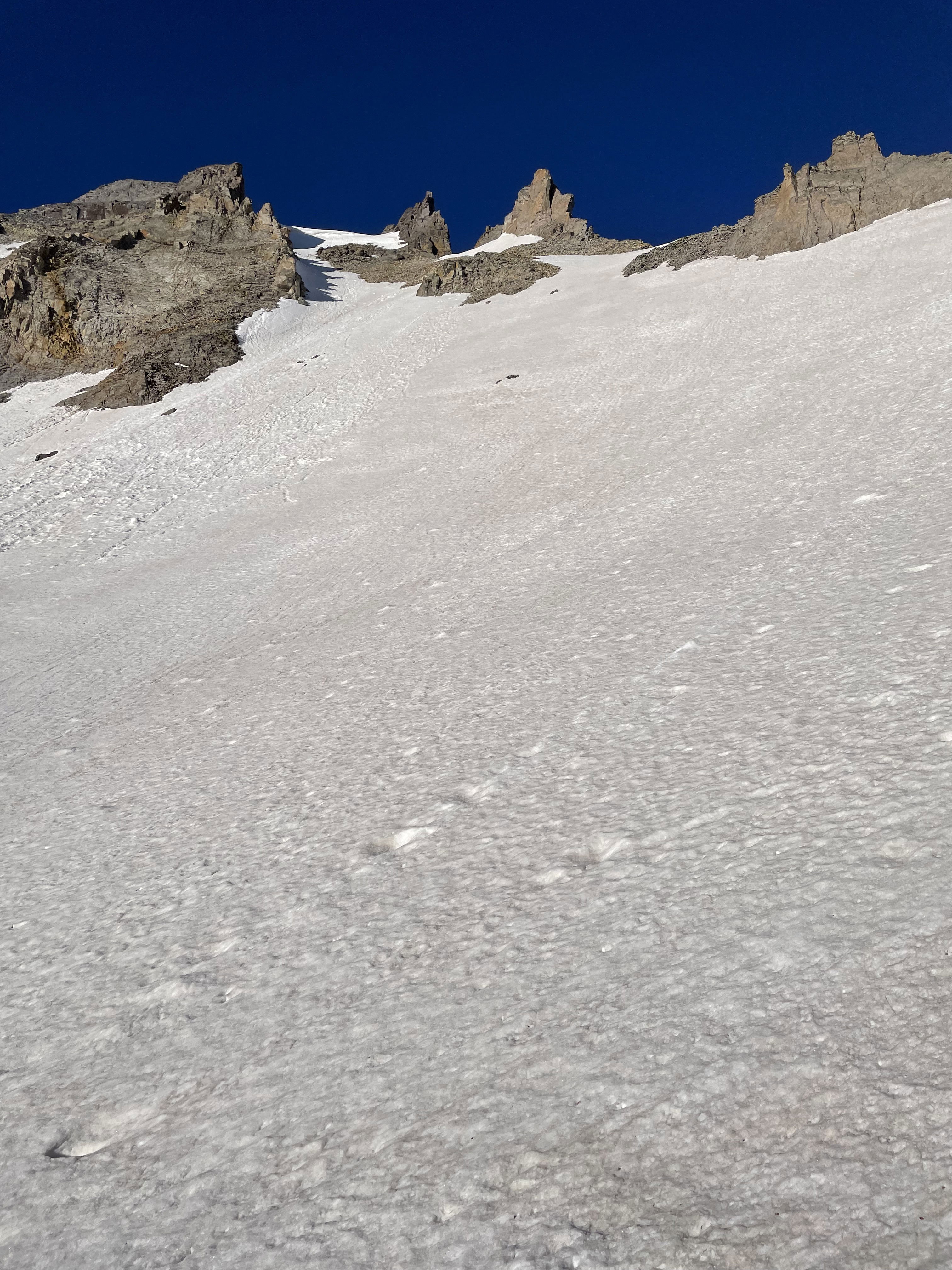
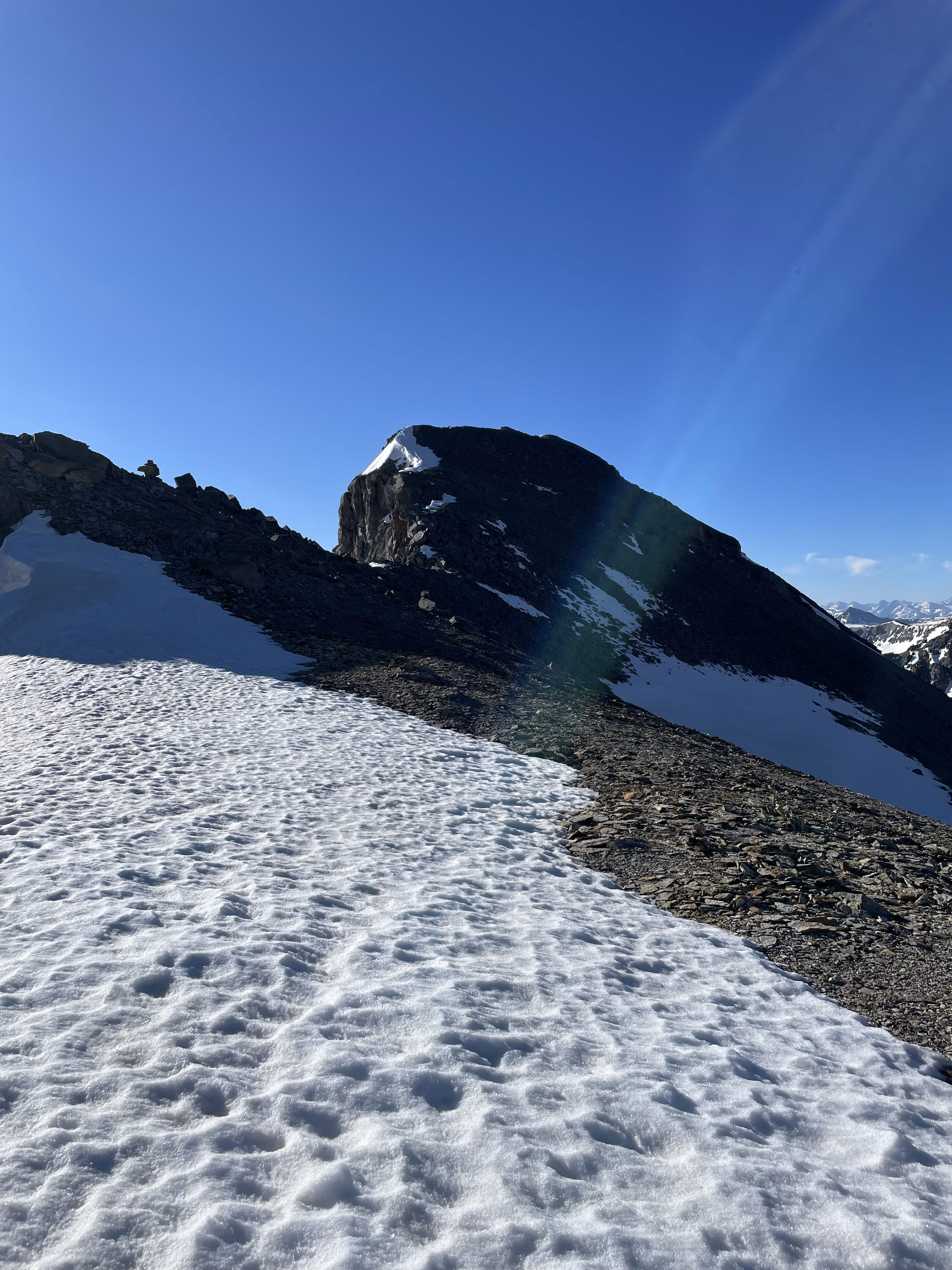
Looking up the couloir and the cornice blocking an easy exit.
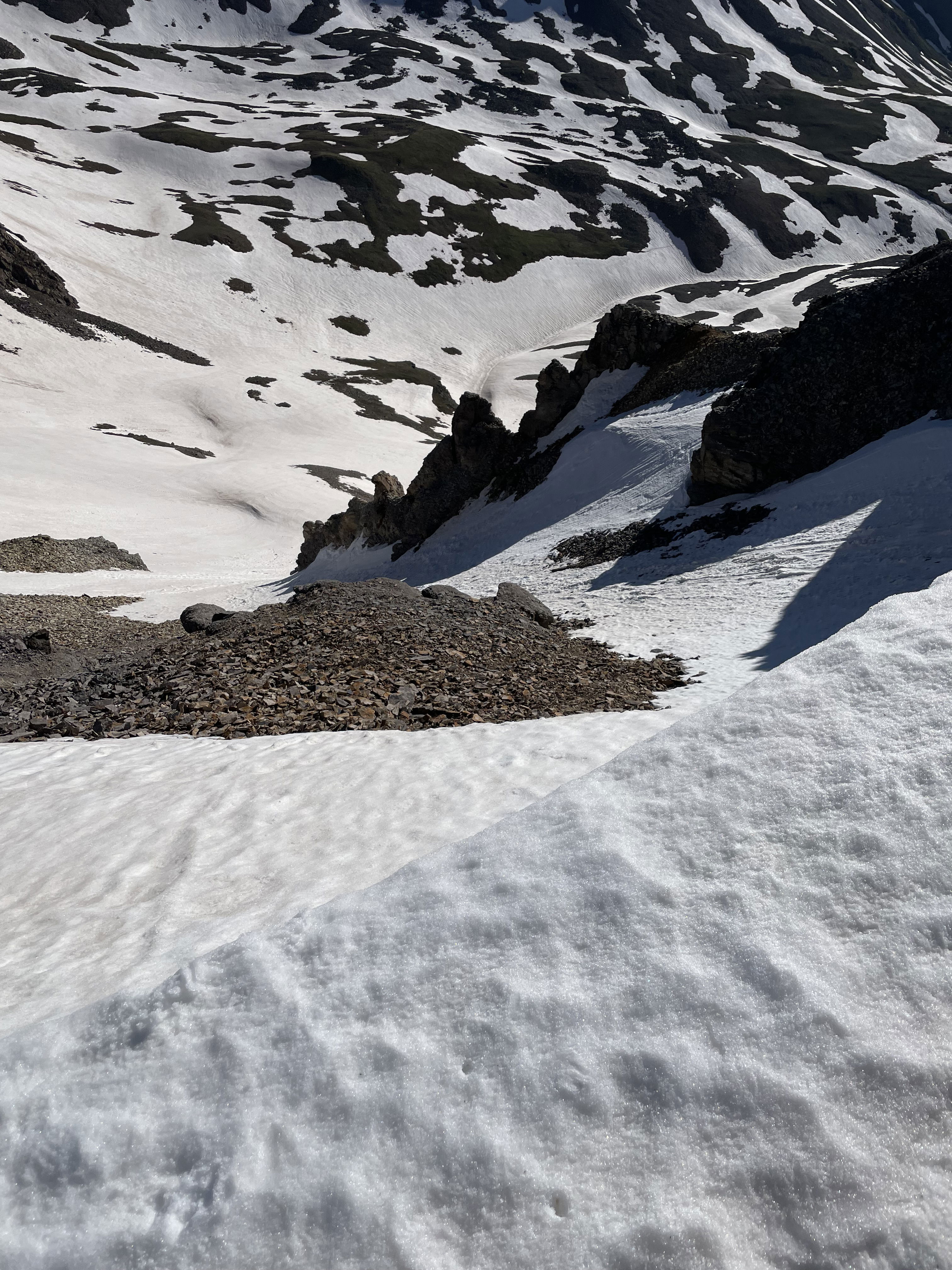
Looking down the full length of the climb after topping out.
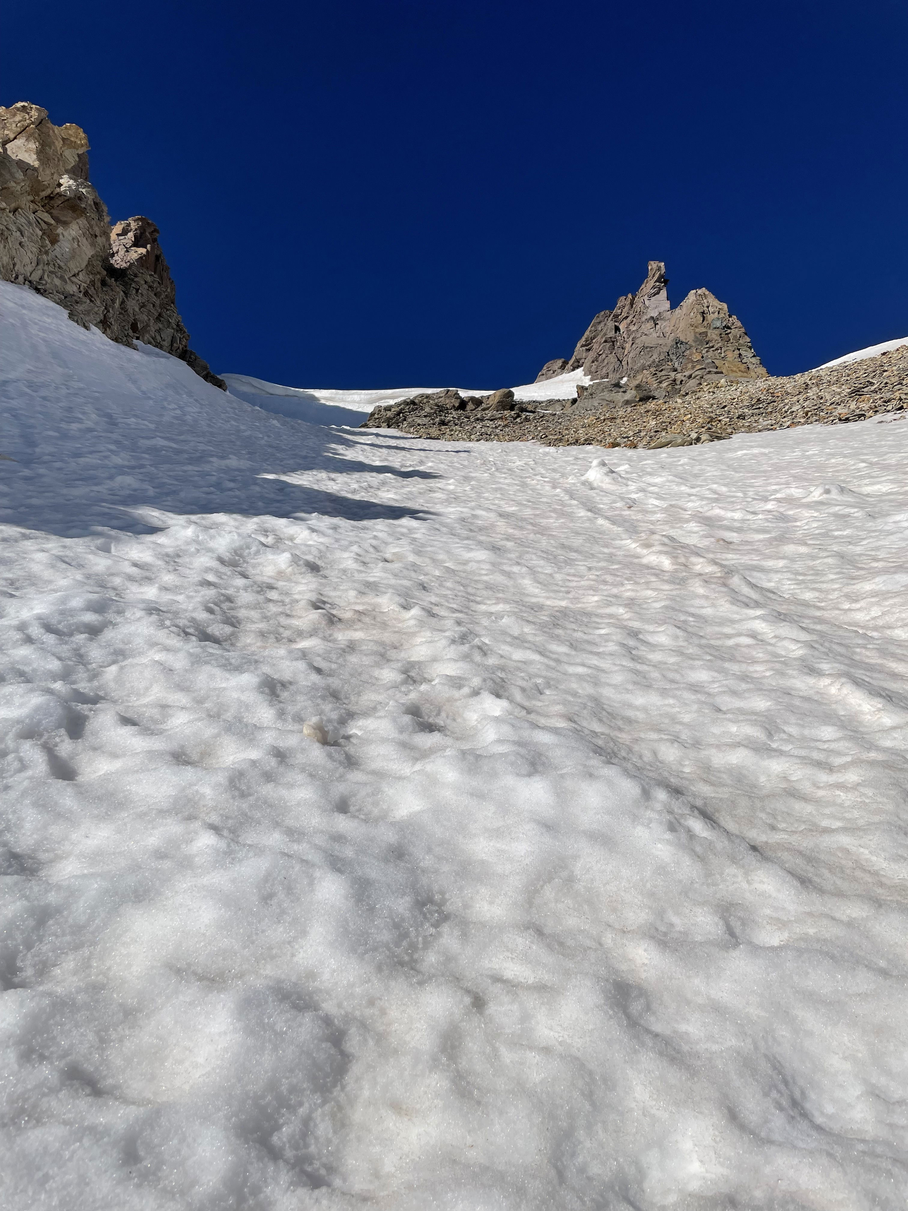
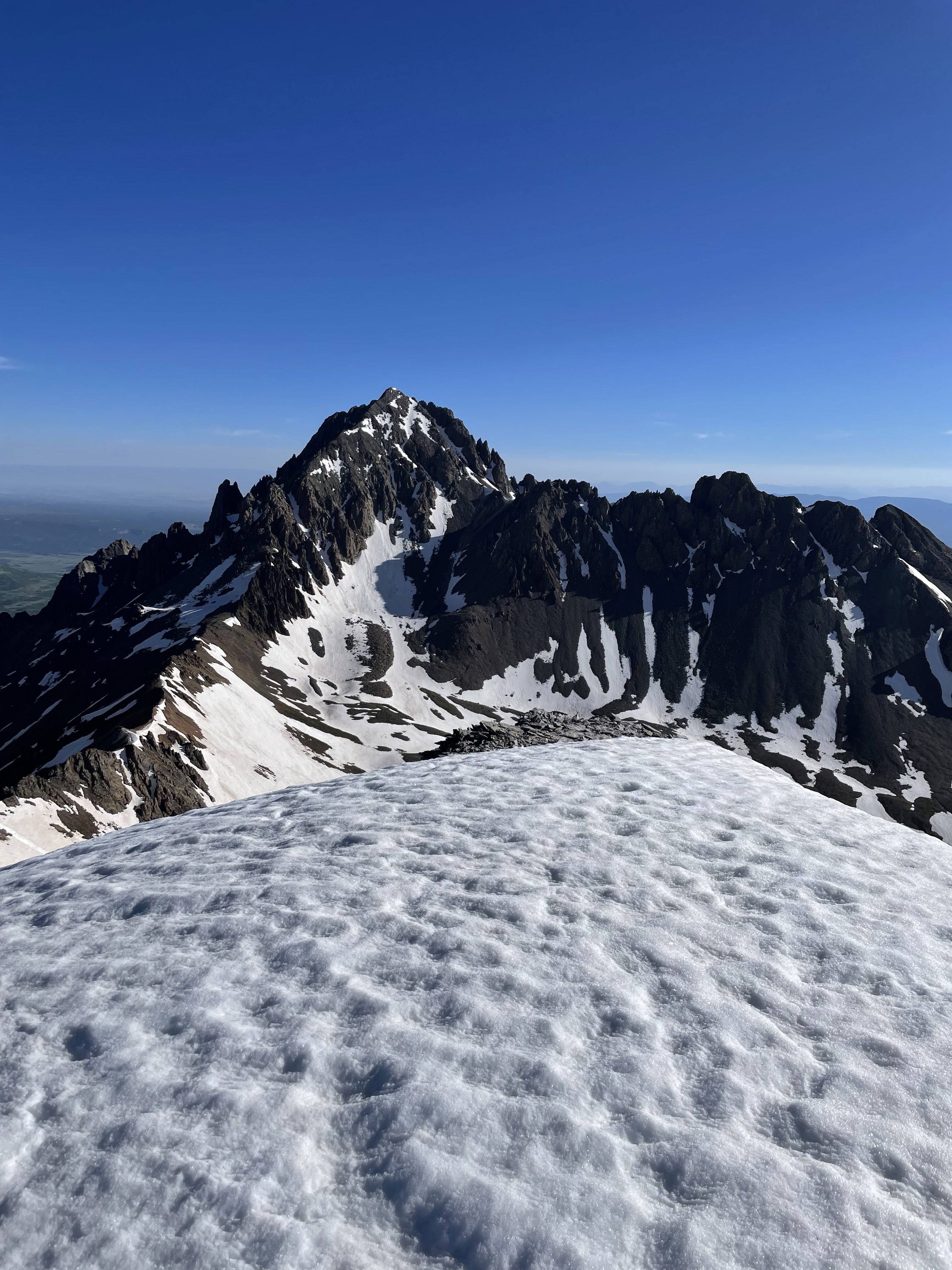
Gilpin Peak from the top of the snow climb.
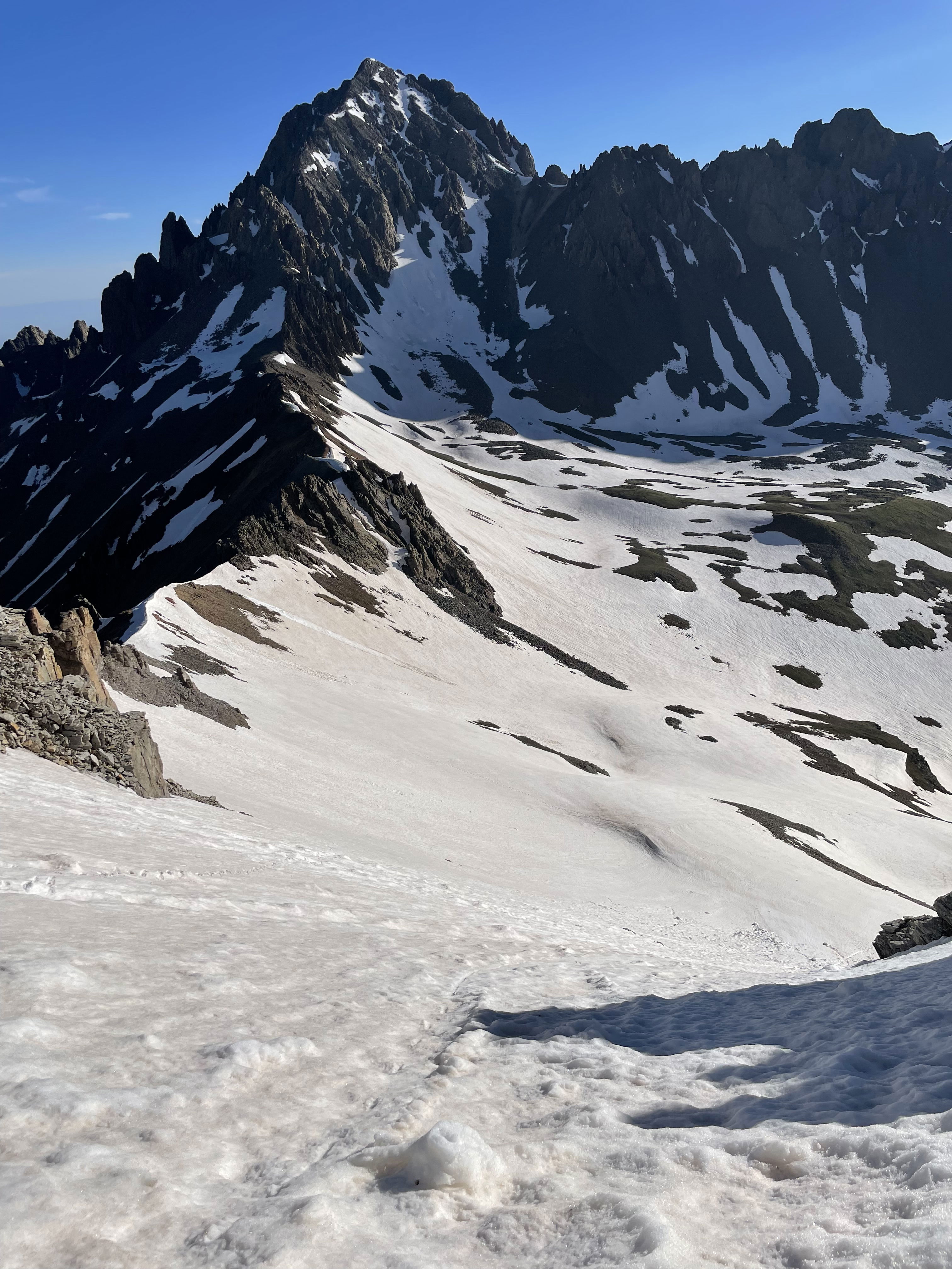
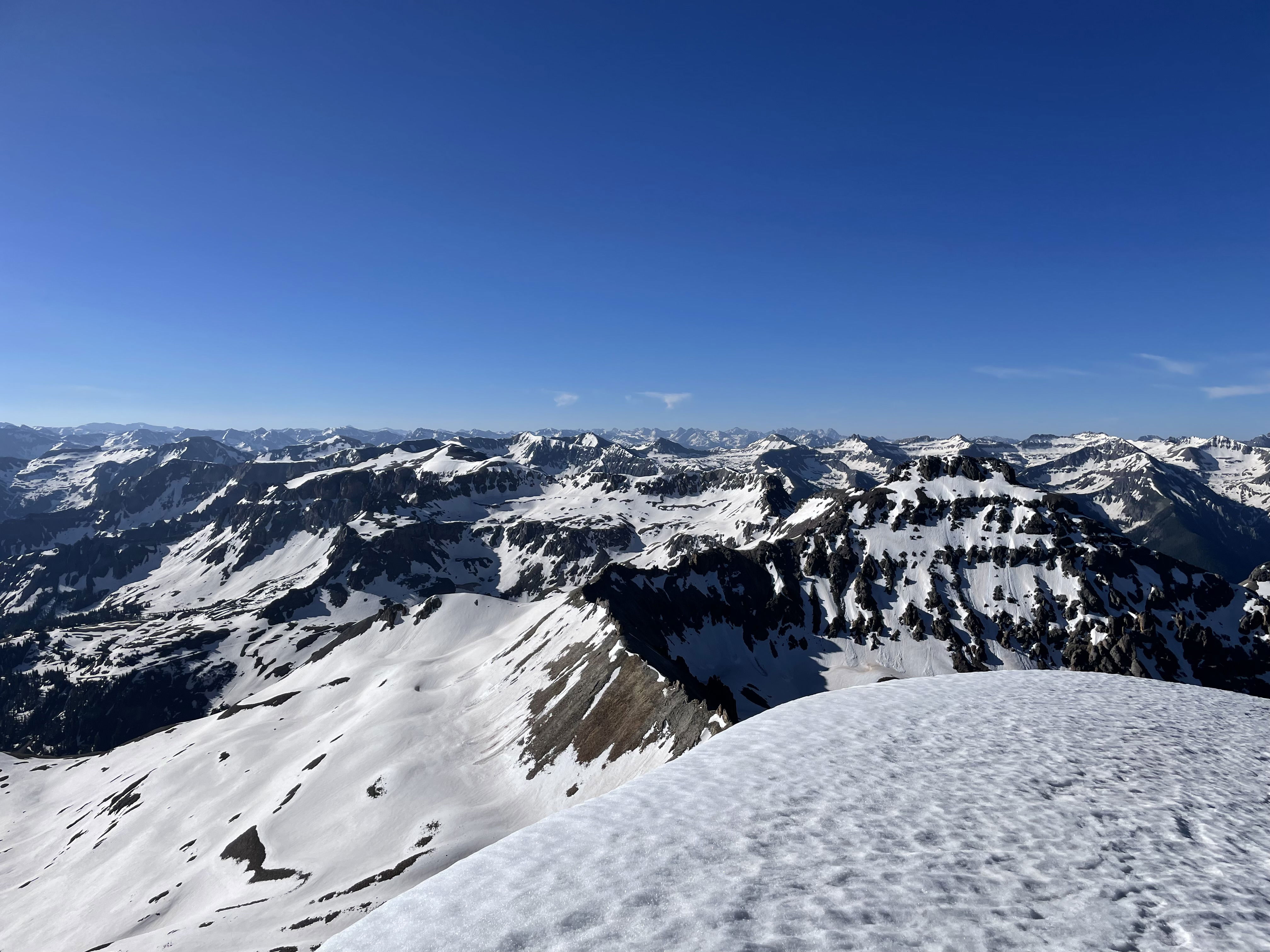
Mount Sneffels from the summit of Gilpin Peak.
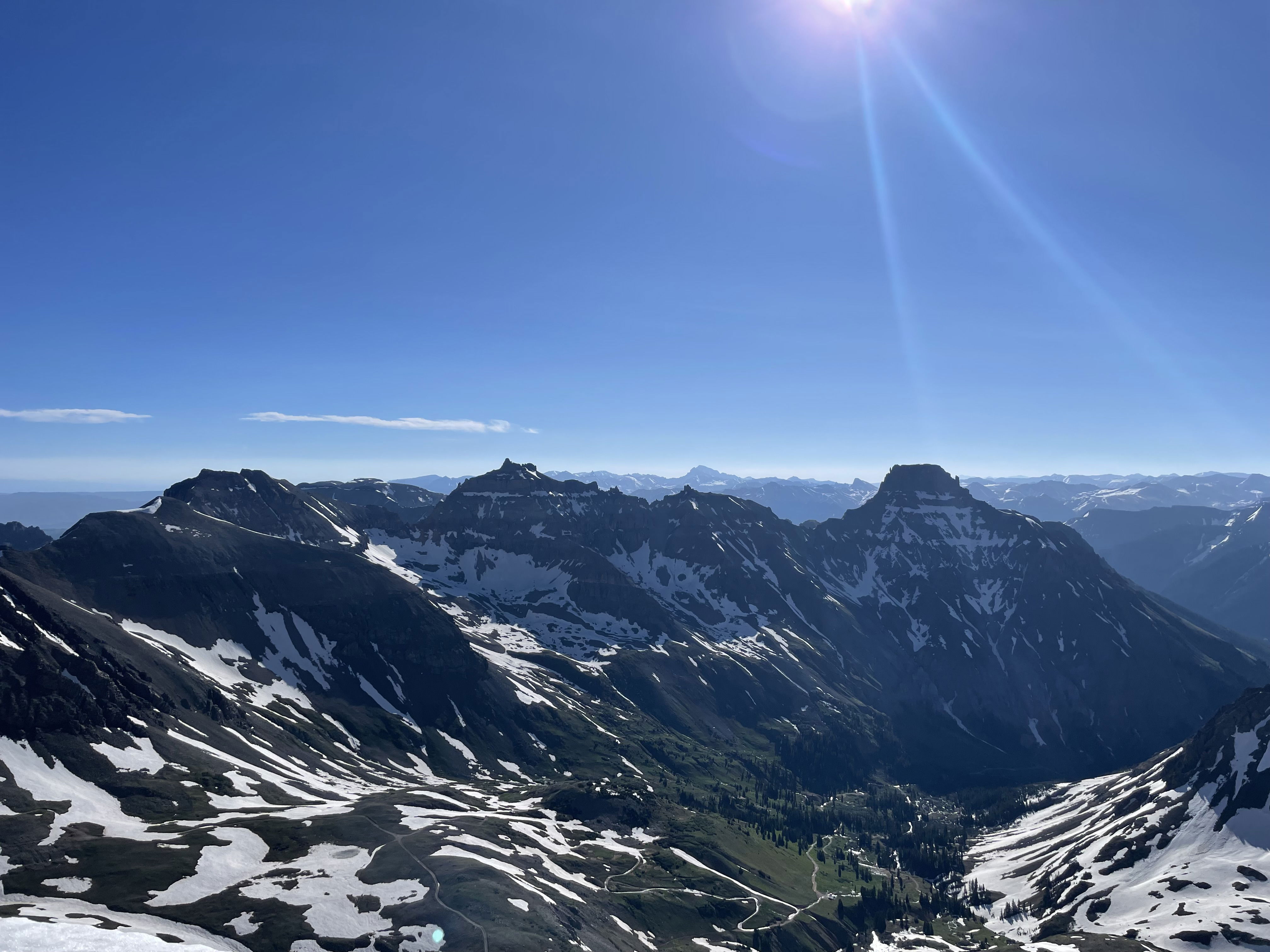
Views
Views
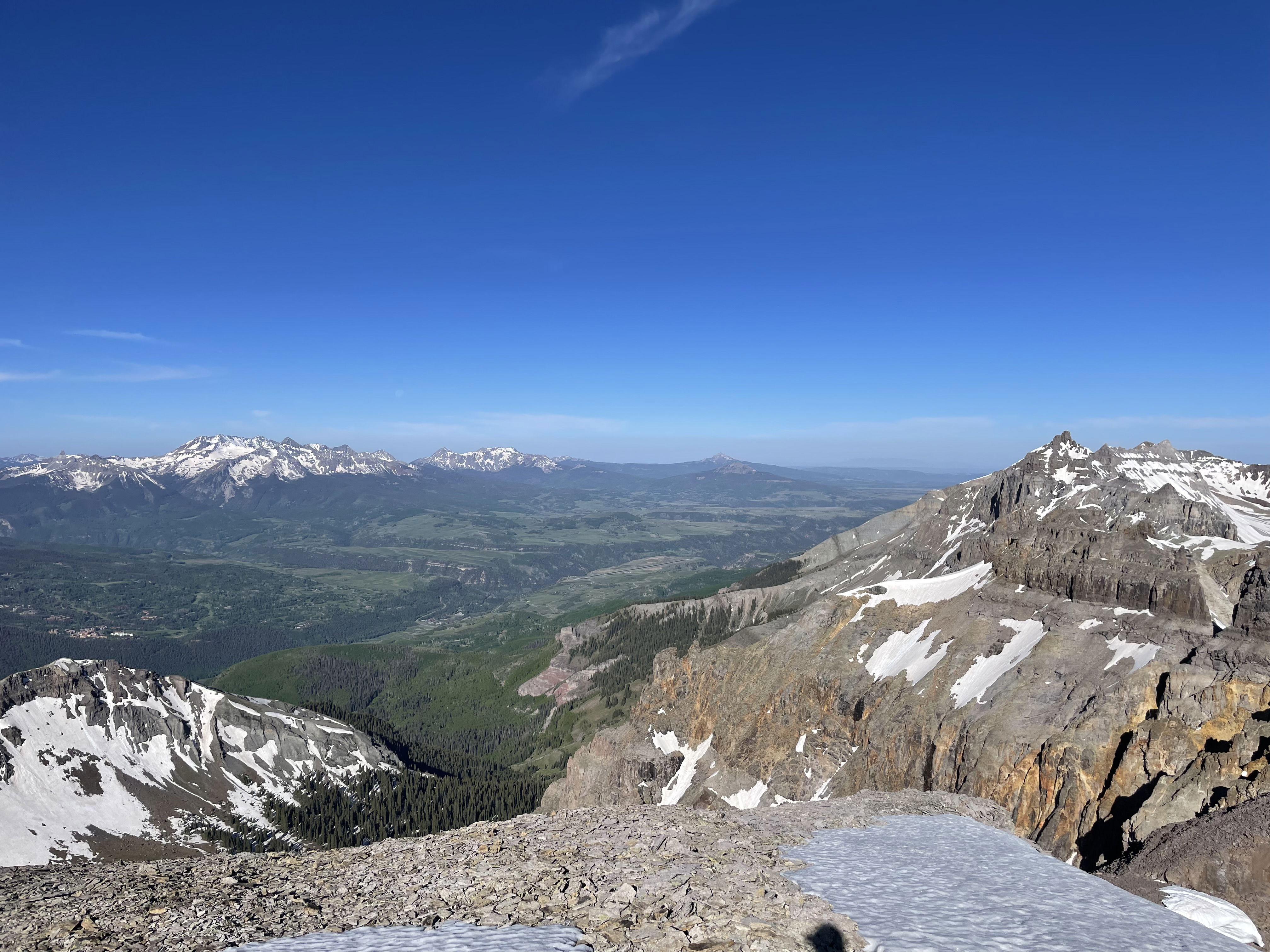
Views
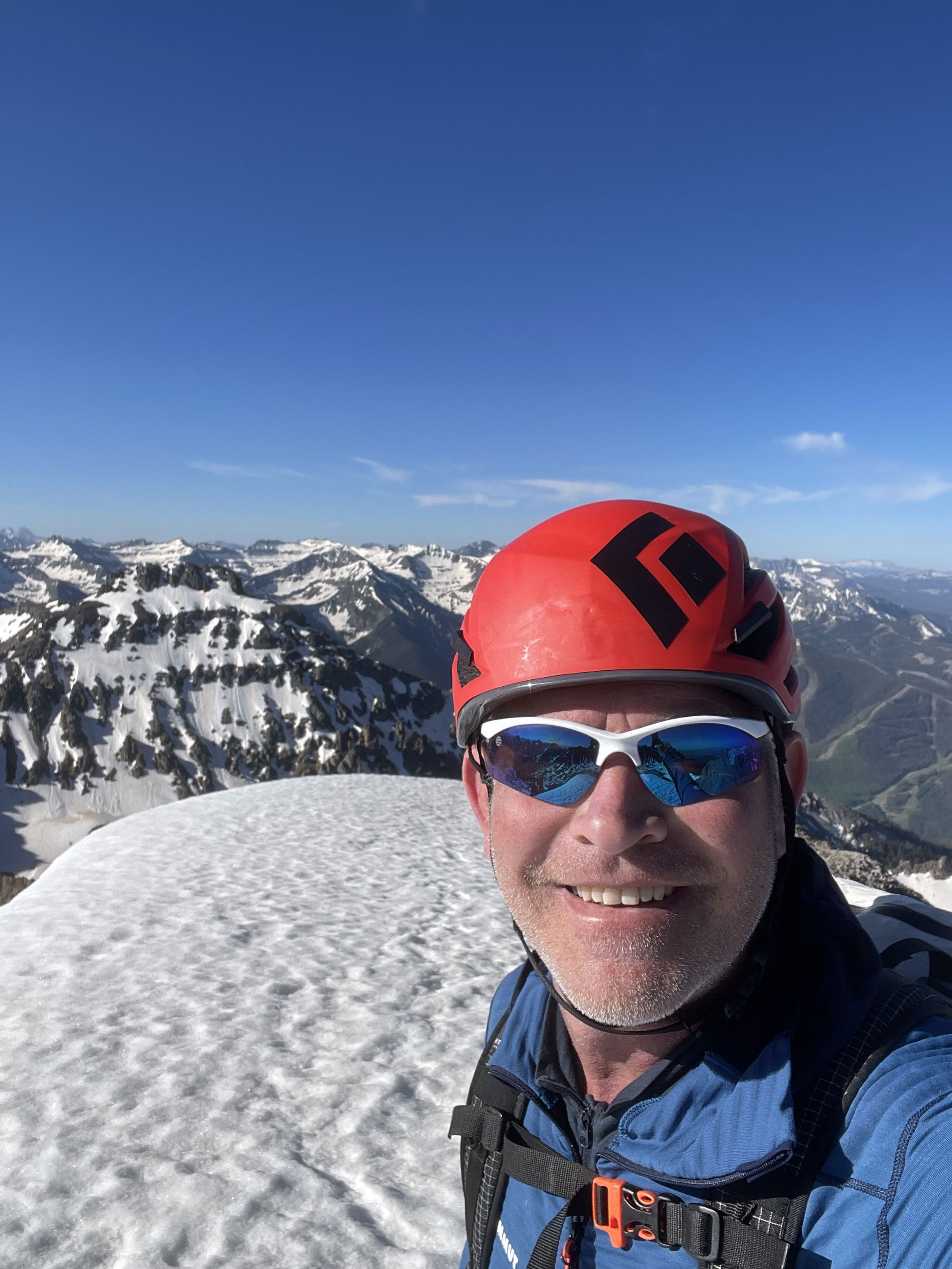
Summit Photo
A close up of the cornice after descending the climb.
Time to glissade on the hike out.
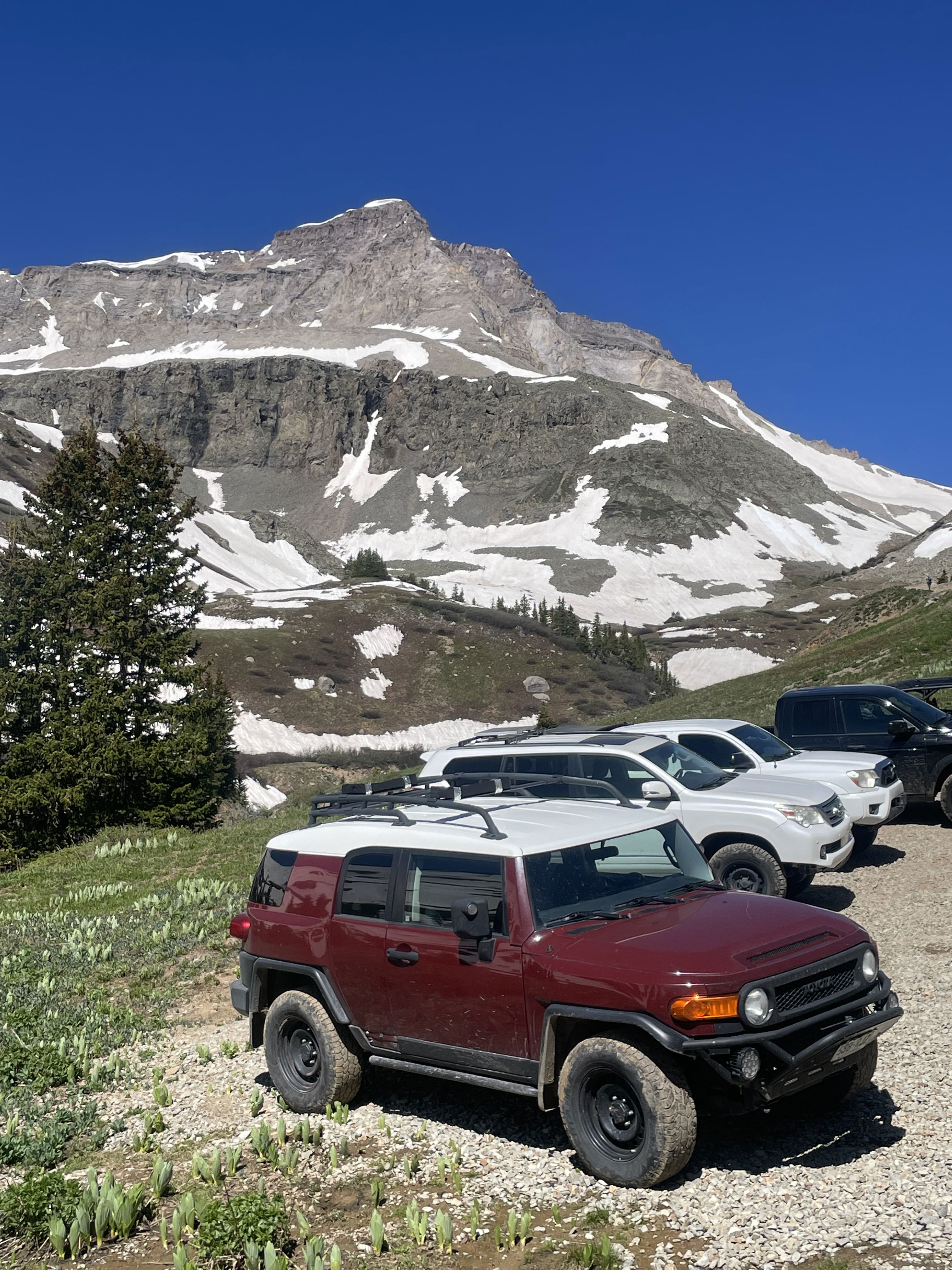
My Toyota FJ Cruiser with Gilpin Peak in the background.