
Mount Evans B
Statistics
- Date - 06/15/2024
- Elevation - 13,577'
- Route - North Slopes
- Miles - 6.5
- Elevation Gain - 2,445'
- ACME Mapper - Link
- CalTopo - Link
- Partners - Not Applicable
Description
Since I was able to get out last weekend, I wanted to keep things rolling a bit and went hiking this weekend too. I felt pretty poorly last weekend; however, I climbed a bit stronger on this particular day. I have hiked several mountains to both the north and south of Mount Evans B, and have always approached from the east. For this hike, I decided to drive to Leadville, Colorado, and start hiking from the west side. Mount Evans B is a Bi-Centennial Peak and the 197th tallest mountain in the state of Colorado according to old map elevations. Mount Evans B new LIDAR elevation is 13,591' which moves it up to 194th tallest in Colorado.
I left my house at 4:20 am and was hiking by 6:30 am. The initial part of the hike was simply on the four-wheel-drive road that leads to Mosquito Pass. Once the road started switch-backing, I just headed straight east up west slopes for several hundred feet before traversing southeast towards a saddle below Mount Evans B where there is a communication facility. From here it was only a few hundred gentle feet of hiking before reaching the summit at 8:40 am.
I was able to identify all the surrounding peaks I had climbed in the area while I rested for 20 minutes. I simply reversed my route and returned to my vehicle by 10:10 am for a 3 hour and 40 minute car-to-car trip. Since it was still so early in the day, and this hike didn't take me as long as suspected, I decided to do another hike later in the day. There was an easily accessible trailhead and peak on my drive home that had been on my short list for some time.
Photos
Mount Evans B from the trailhead at the start of the hike.
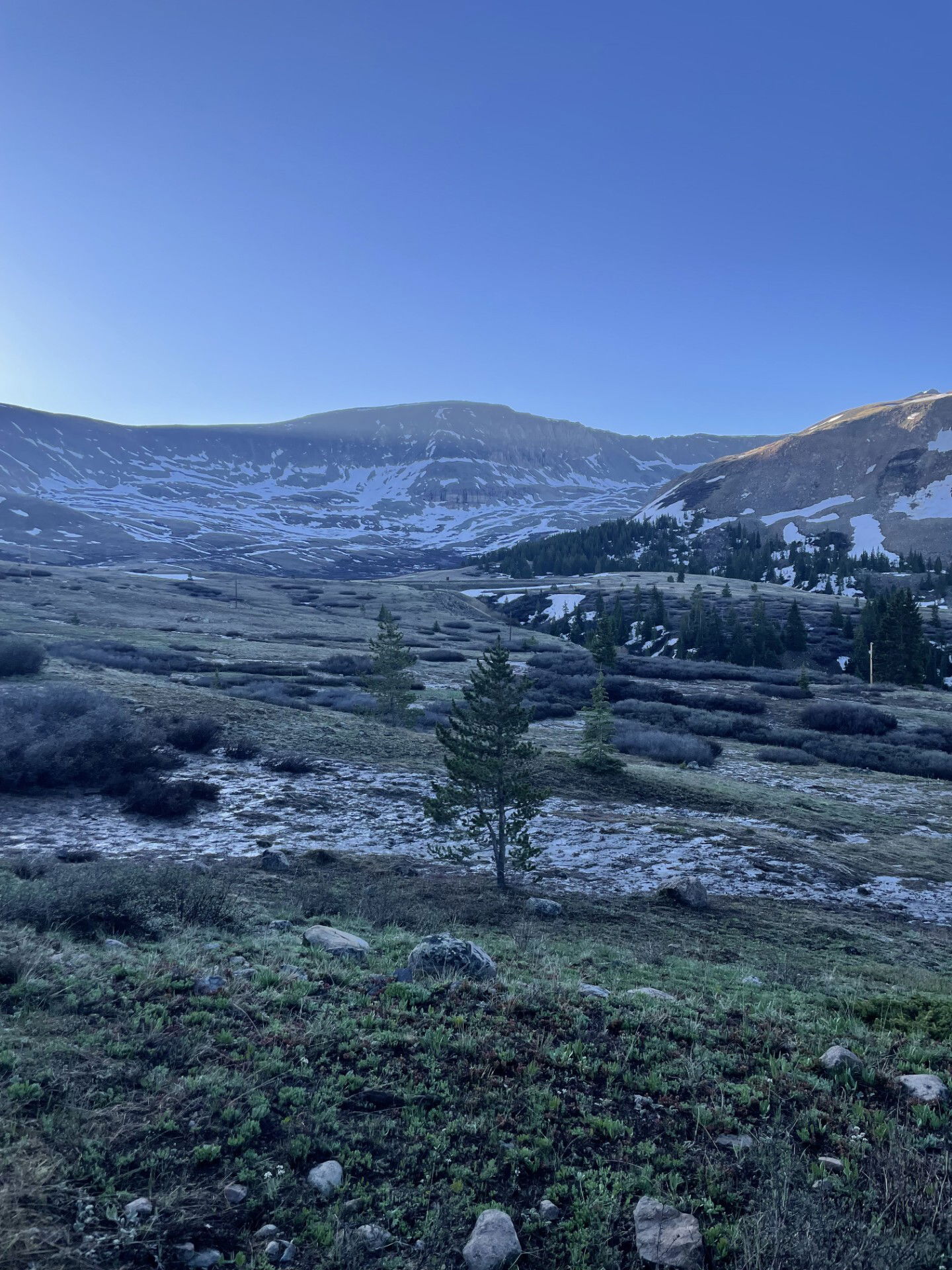
Mount Evans B, Dyer Mountain, and West Dyer Mountain from early in the hike.

The Sawatch Mountains to the west.

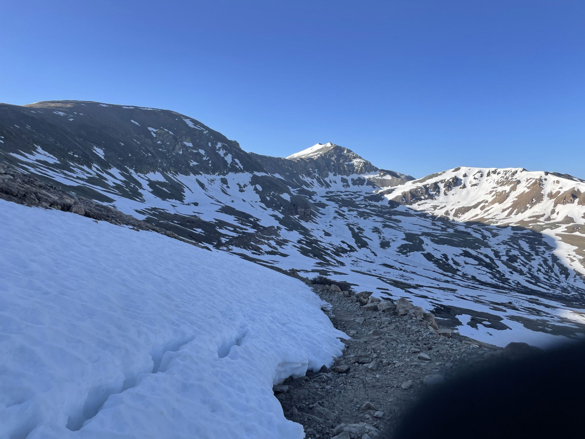
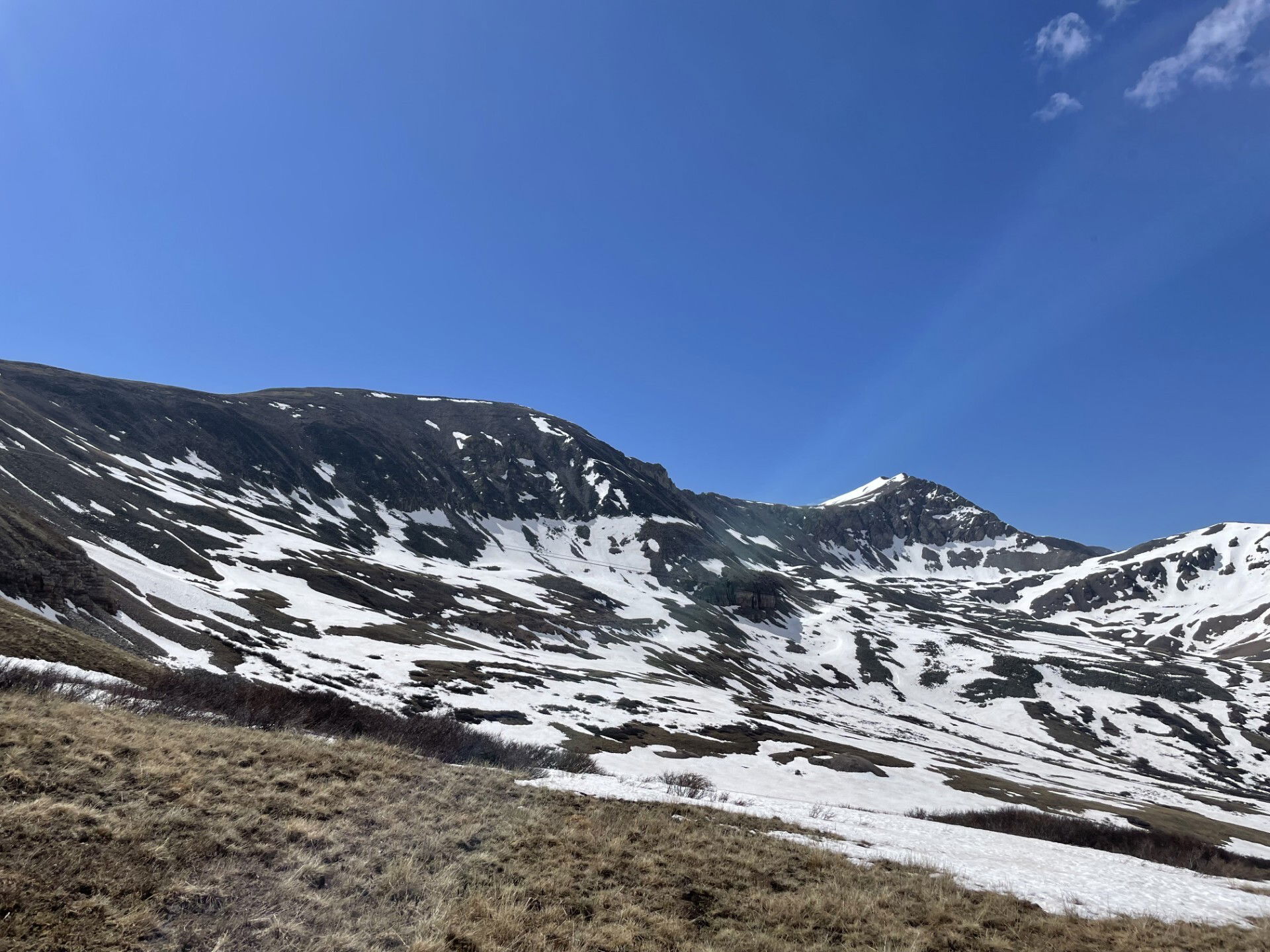
The gentle north slopes of Mount Evans B.
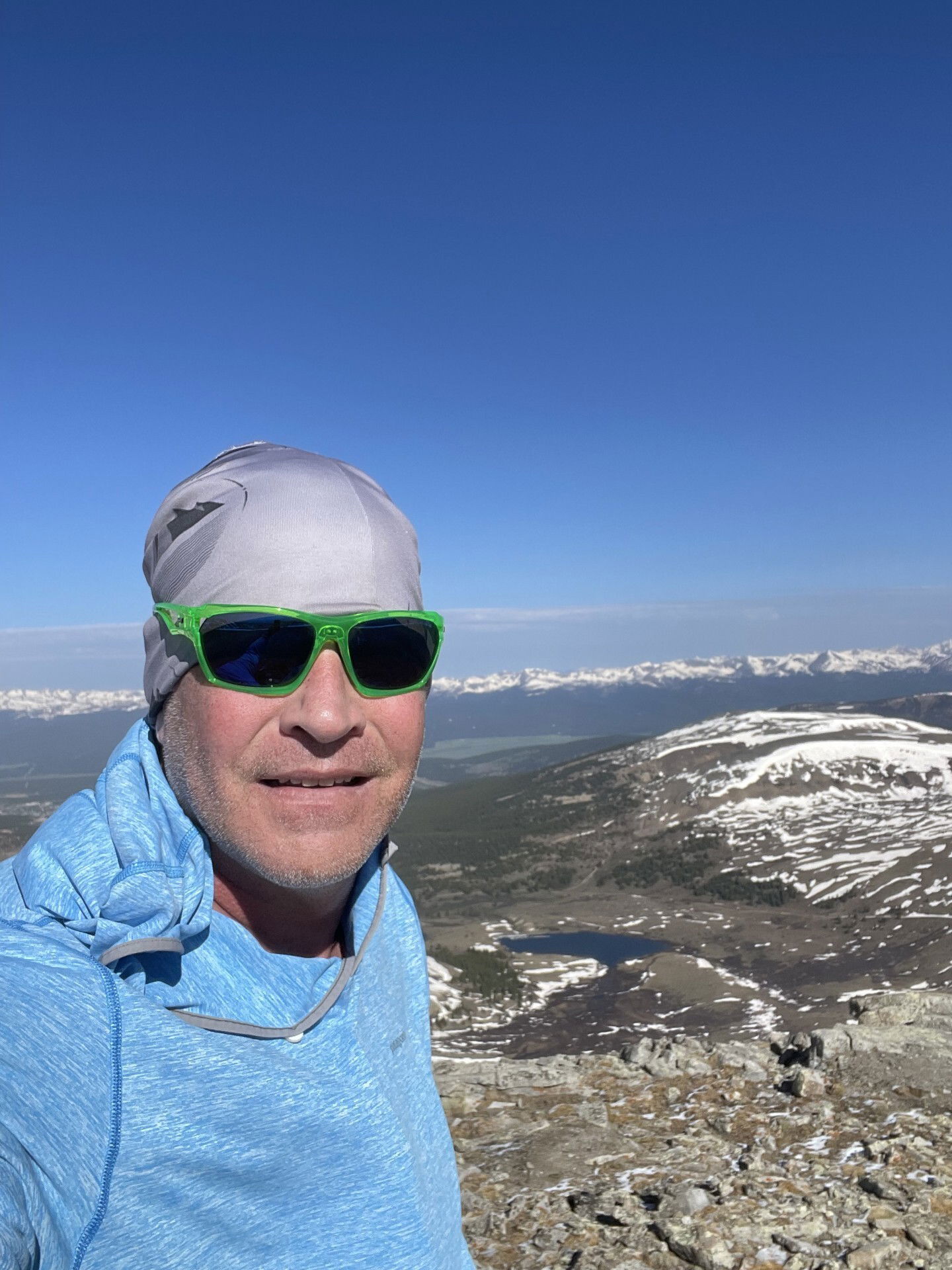
Summit Photo

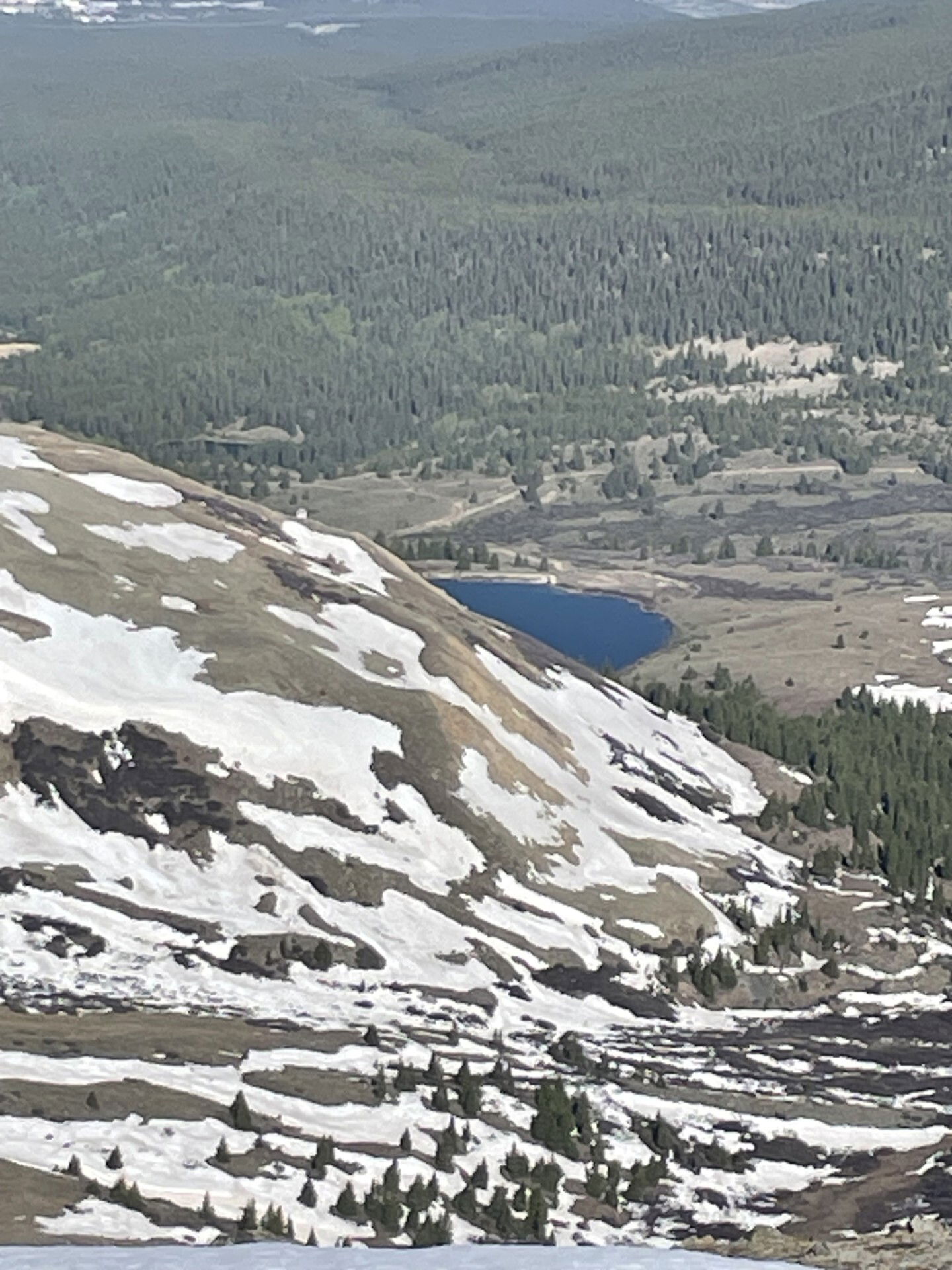
Views to the east of Pennsylvania Mountain.

Views to the north of Tweto, Treasurevault, Mosquito, and London among others.
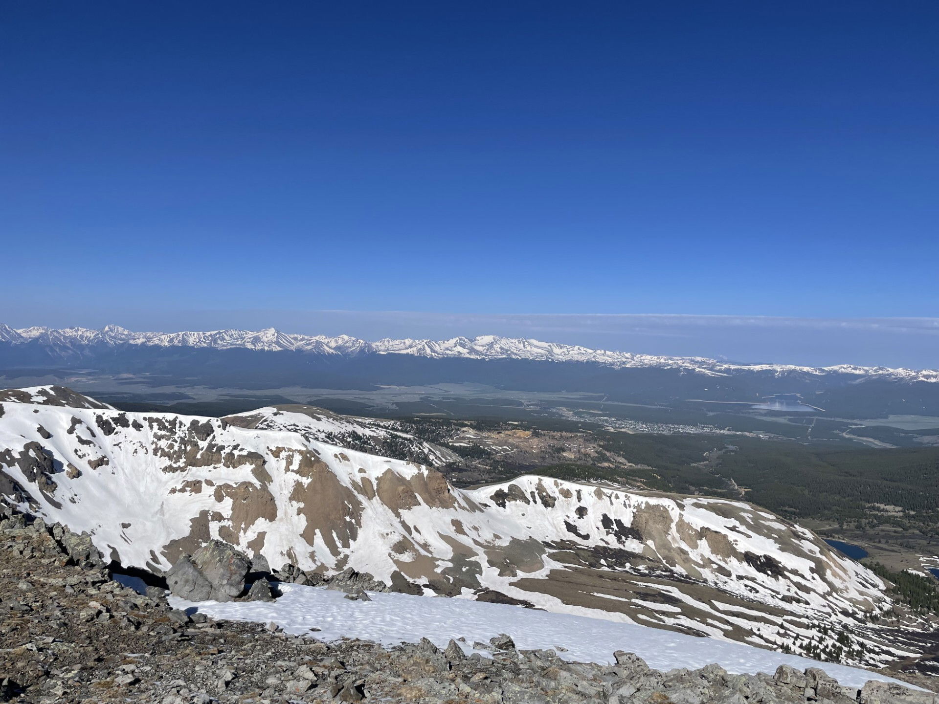
Views to the west of the Sawatch Mountains.

Views to the south of Gemini and Sherman.
You can't really see it, but I could just barely make out the FJ from the summit.
Mount Evans B and Dyer Mountain on the hike back to the trailhead.