
Vestal Peak
Statistics
- Date - 08/27-28/2021
- Elevation - 13,864'
- Route - South Face
- Miles - 21.0
- Elevation Gain - 6,924'
- ACME Mapper - Link
- CalTopo - Link
- Partners - Not Applicable
Description
Vestal Peak was my 95th Centennial Peak. I hiked the south face starting from the Molas Pass Trailhead. I backpacked from the trailhead down to the Animas River and then up to the beaver ponds below Vestal Basin. After camping the night, I hiked up to Vestal Basin and Vestal Peak and then returned to my camp. I took an hour break and packed up my gear before hiking back out to the trailhead throughout the afternoon and evening.
I drove from Highlands Ranch, Colorado, to Montrose, Colorado, on Thursday evening and stayed with a friend who recently moved to Colorado. We visited on his patio while having a few beers and then called it a night. After some eggs and sausage in the morning, I stopped at San Juan Brews for some coffee and was off to the Molas Pass Trailhead. I left the trailhead at 11:10 am and started the trip by dropping more than 1,700 feet over 3.5 miles to the Animas River, which I reached at 12:30 pm. From the river, I continued backpacking another 3.5 miles and 1,100 feet to the beaver ponds at the turn off for Vestal Basin. I reached my campsite at 2:30 pm and simply hydrated, ate, and rested for the remainder of the day.
I was hiking by 5:10 am the following morning after a reasonable night of sleep. The hiking after the beaver ponds is pretty steep and relentless as you gain roughly 3,900 feet in another 3.5 miles to the summit of Vestal Peak. There is a trail that is easy to follow; however, I only recall two spots where the trail becomes a bit more flat in Vestal Basin and the area between Vestal Peak and Arrow Peak. The last 600 feet on the south face requires some class 3 scrambling and a bit of route-finding in my opinion.
I hadn't been to elevation in over a month, and I haven't worked out much this year due to my dad being sick. In other words, I am old, slow, and out of shape. I didn't reach the summit of Vestal Peak until 10:20 am after 5 hours and 10 minutes of hiking. I spent 15 minutes on the summit and then returned to my campsite by 1:50 pm for a descent time of 3 hours and 15 minutes.
I broke down my camp and was backpacking down the trail by 3:00 pm. I reached the Animas River and train tracks at 5:00 pm. The final slog back up to the trailhead was challenging after the long day I already had; nevertheless, I finished the hike at 7:00 pm. After changing clothes, I drove to Ouray, Colorado, and had a quick pint at Mr. Grumpy Pants Brewing Company before driving up to Montrose, Colorado, and sleeping on my friends driveway for the night. I got up early and drove to Eagle, Colorado, to have brunch with my daughter and her boyfriend before finishing the drive home.
Photos
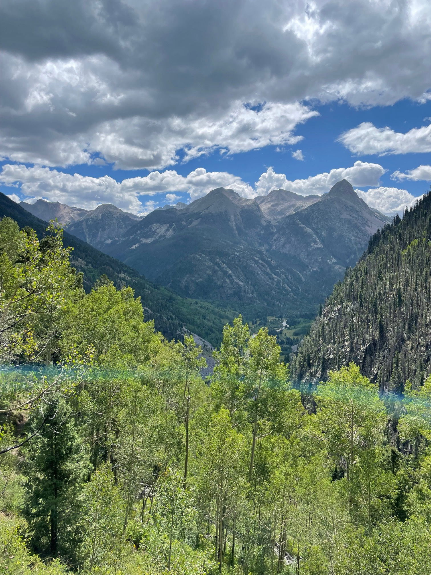
The Grenadier Mountain Range from near the trailhead.

The footbridge crossing the Animas River.

Railroad Tracks

Looking towards Elk Creek.

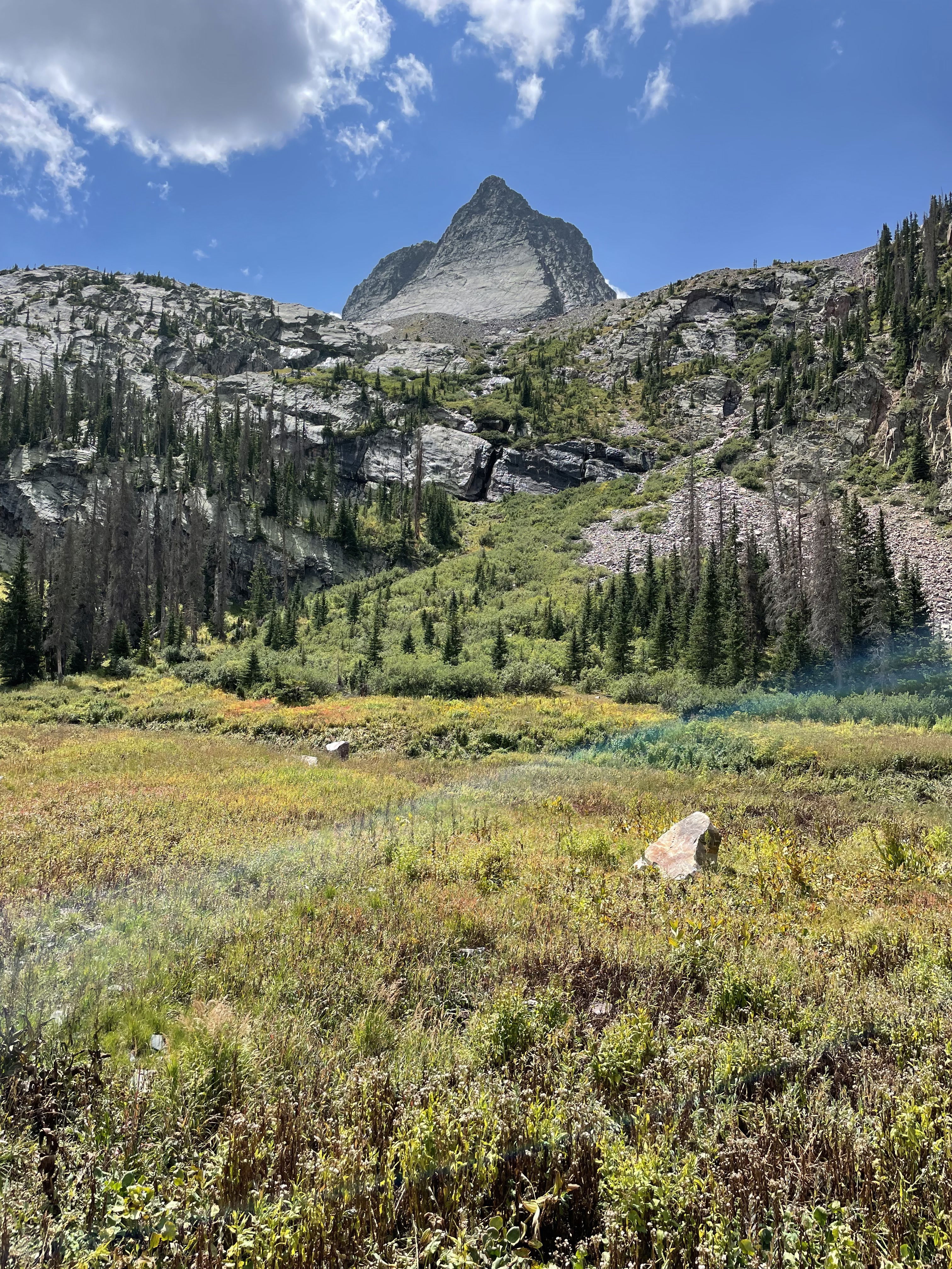
Vestal Peak and Wham Ridge

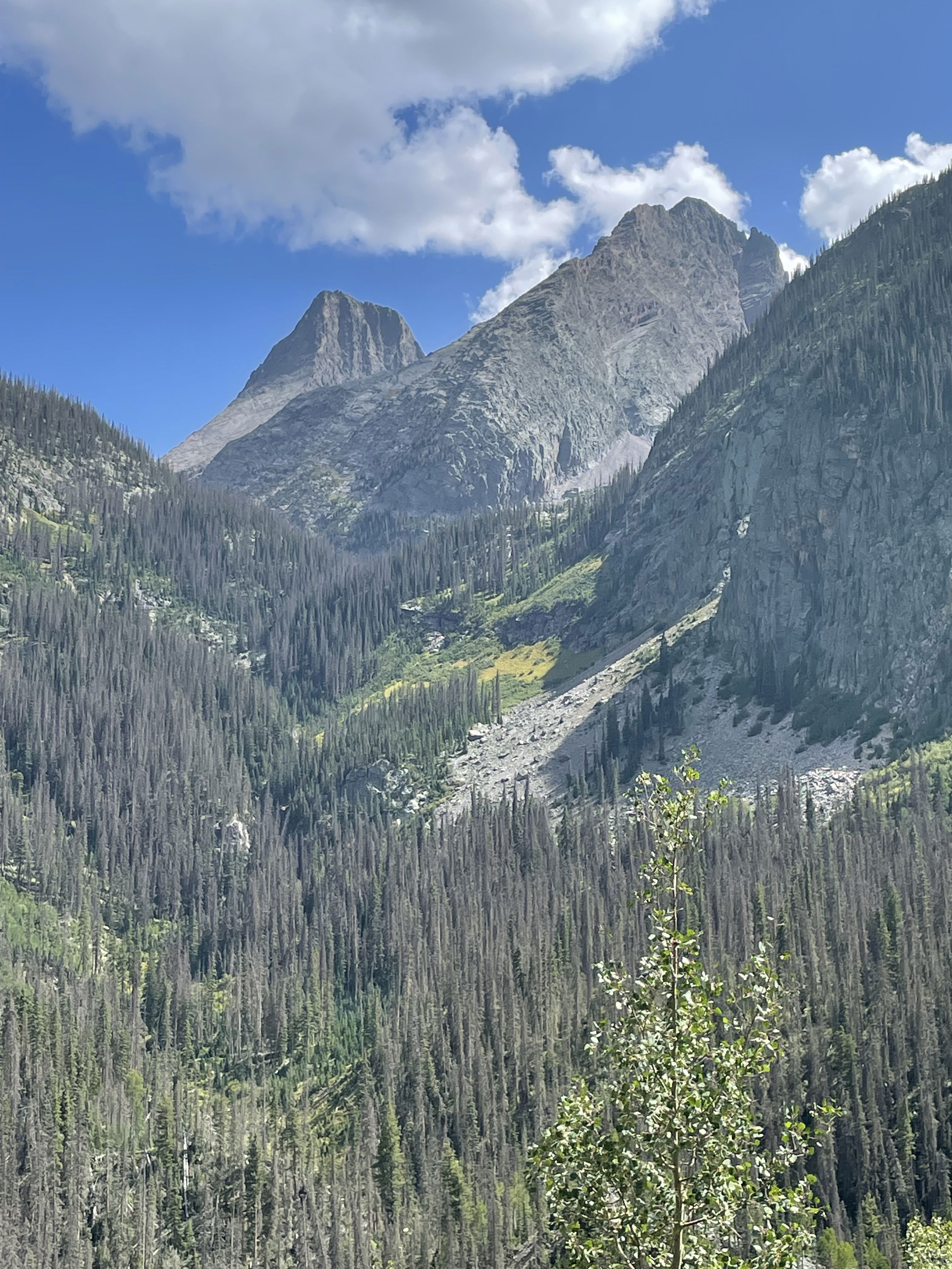
Arrow Peak

Vestal Peak from the saddle between Vestal and Arrow Peaks.

Views

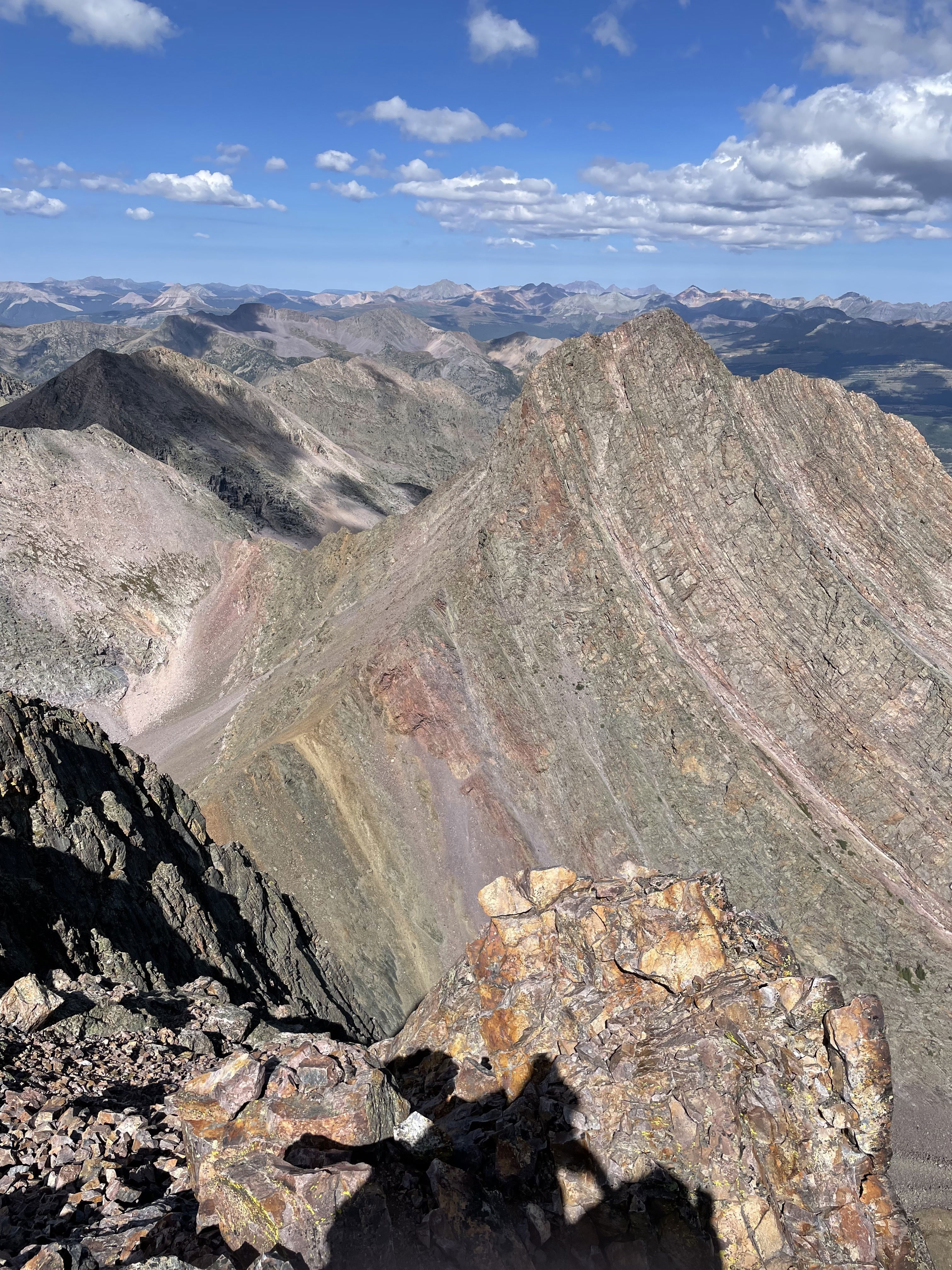
Summit Photo
Arrow Peak from Vestal Peak.

The beginning of the route up the south face.

Arrow Lake and Arrow Peak from the south side of Vestal Peak.

The saddle between Vestal and Arrow Peaks.
Vestal Peak from Vestal Basin.
Vestal Peak from the hike out Elk Creek.

The Grenadier Mountain Range from near the trailhead while hiking out.

My bivy at my friend's house.