
Rio Grande Pyramid
Statistics
- Date - 07/23/2021
- Elevation - 13,821'
- Route - East Slopes
- Miles - 19.2
- Elevation Gain - 4,500'
- ACME Mapper - Link
- CalTopo - Link
- Partners - Not Applicable
Description
Rio Grande Pyramid was my 94th Centennial Peak. I hiked the east slopes starting from the Thirty Mile Campground and Rio Grande Reservoir. I left the trailhead at 3:00 am on Friday morning and made my way to the summit by 9:30 am. After 30 minutes on the summit, I hiked back out the way I came and returned to my vehicle at 2:15 pm. I hiked the Weminuche Trail to Weminuche Pass and then turned right and finished the hike on the Skyline Trail to Opal Lake and the summit proper. The last mile and 1,000' require a bit of scrambling.
I am writing this trip report over a week after I actually hiked it because in the interim my dad and grandma died. In fact, my dad passed away the night I completed this particular trip. Nevertheless, he is with my mom in heaven as my family believes in the cross, blood of Christ, and salvation; therefore, I will be with them soon enough.
Rio Grande Pyramid was the longest day-hike I have ever completed. There is a trail for much of the way so the miles go quickly, but I was still very tired and worn out by the end of the day. A backpack is not necessary to tag this summit, but I certainly wouldn't blame anyone for choosing this option and spending more time in the area.
Photos

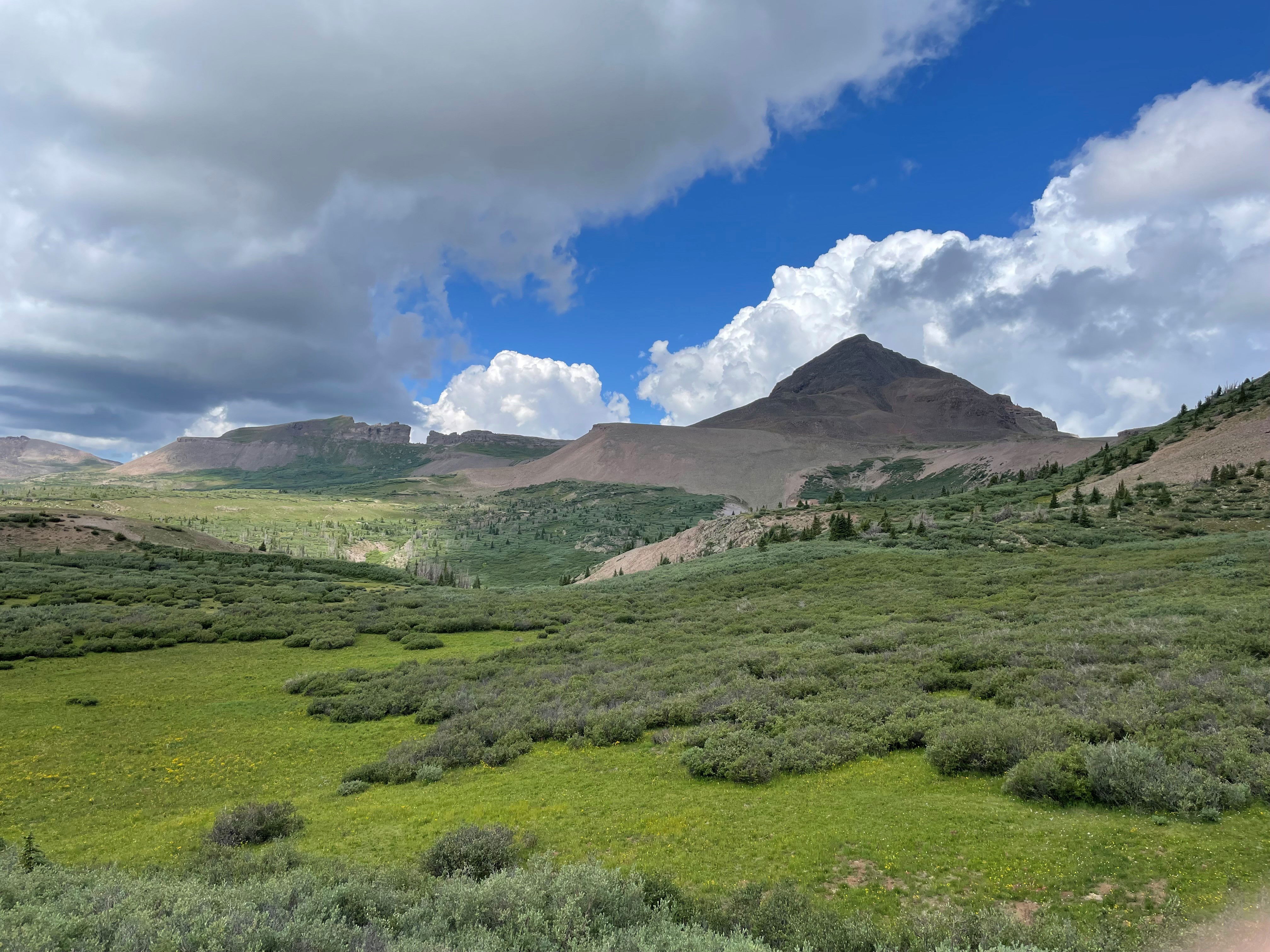
My first good view of Rio Grande Pyramid.

The first off trail/cross country section of the hike.

The most unpleasant part of the hike in some loose scree.

The final summit pyramid of Rio Grande.

Summit Photo

Views
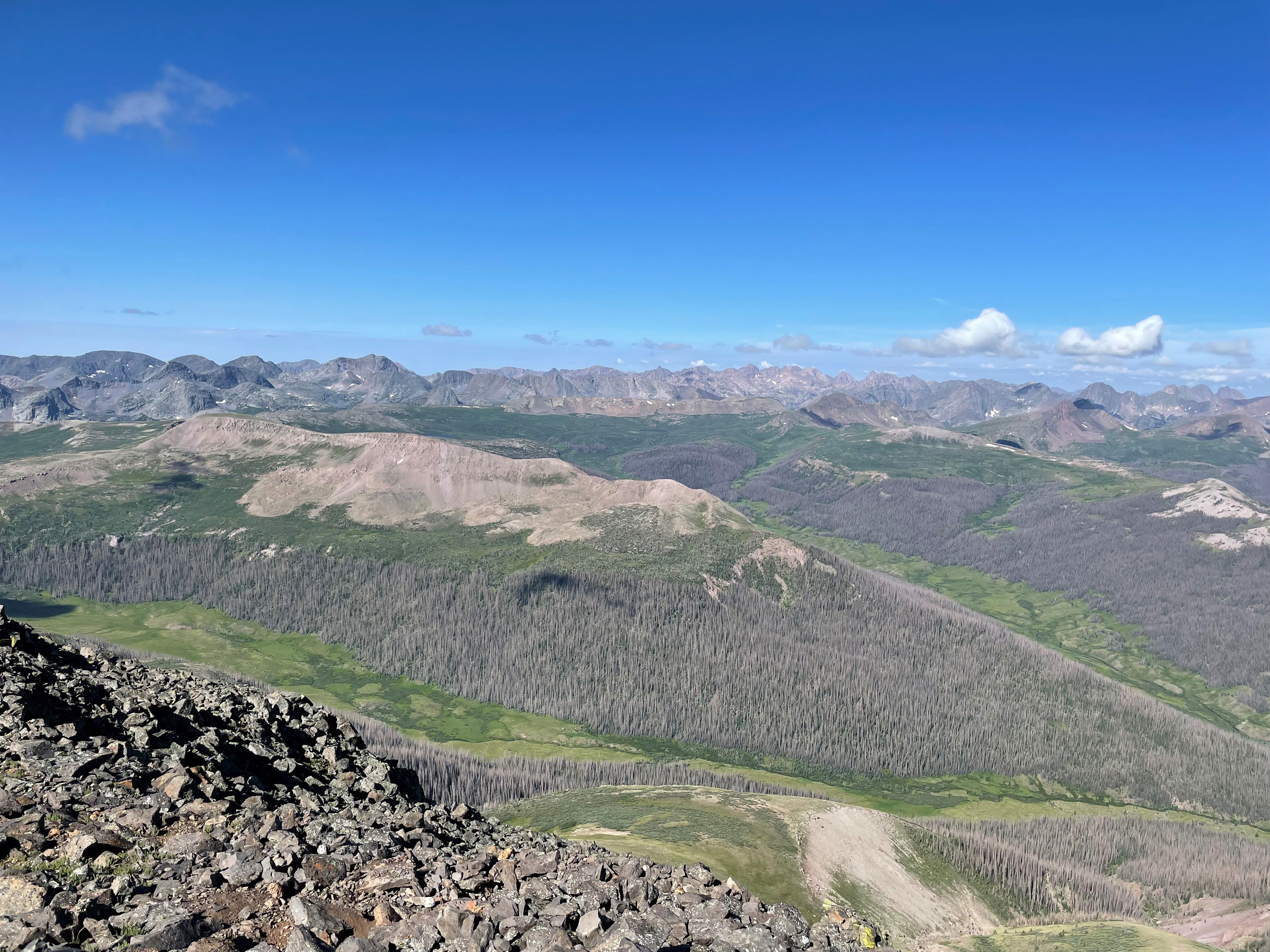
Views

Views
Rio Grande Pyramid on the hike out.
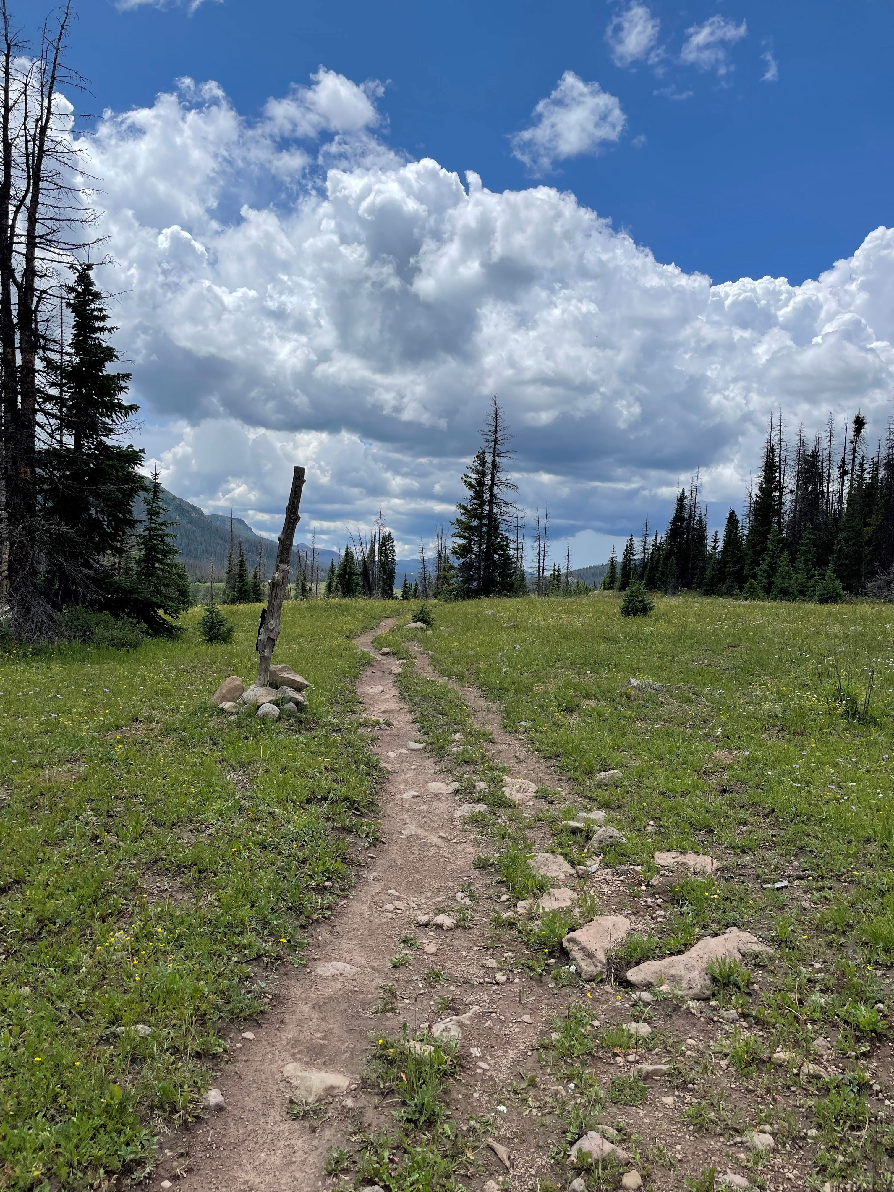
This is the point on the Weminuche Pass where you turn right.
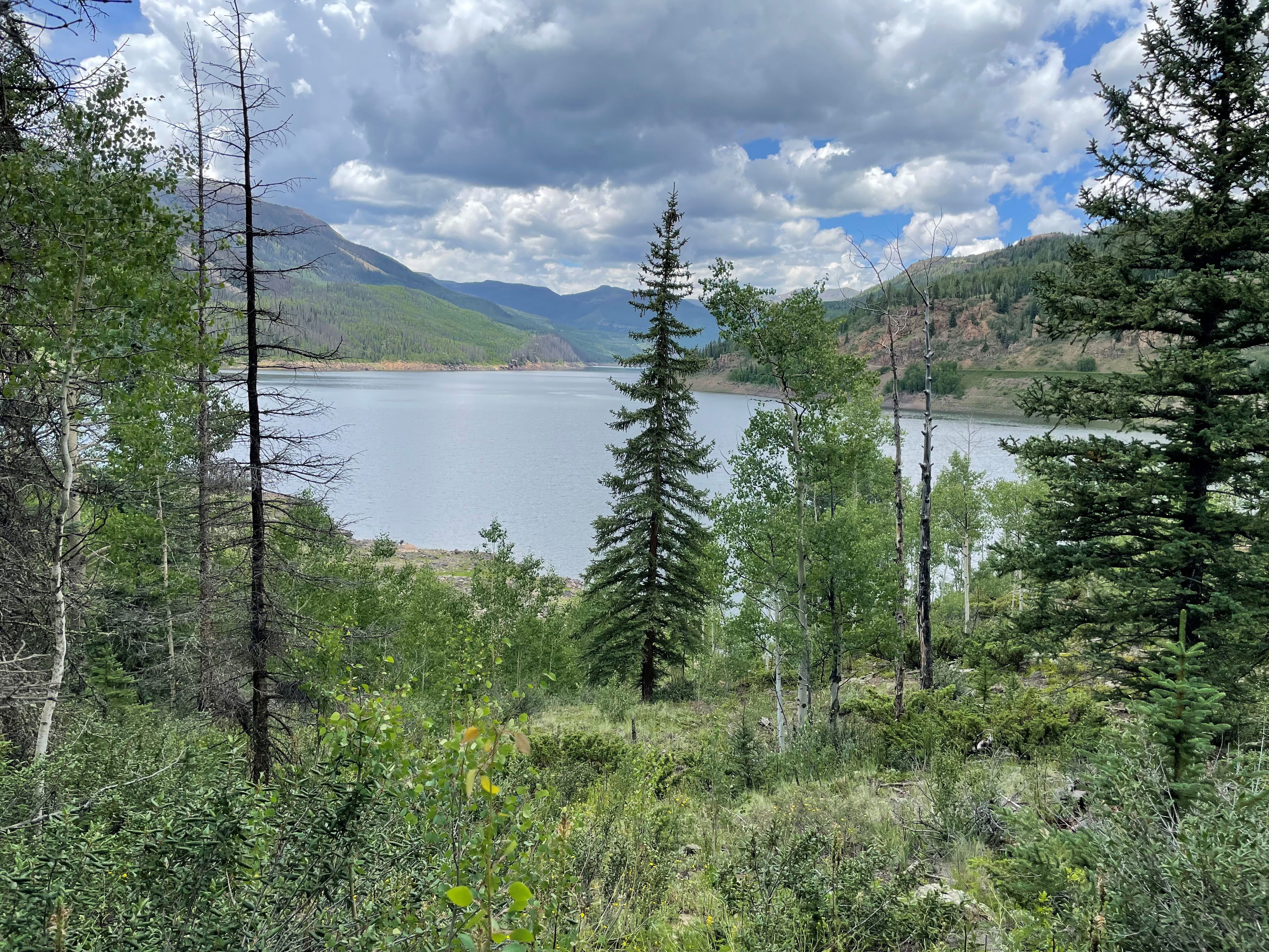
Rio Grande Reservoir

Rio Grande