
Mount Lindo/Point 7965
Statistics
- Date - 02/03/2021
- Elevation - 7,965'
- Route - South Slopes/North Slopes
- Miles - 3.6
- Elevation Gain - 1,700'
- ACME Mapper - Link
- CalTopo - Link
- Partners - Not Applicable
Description
I hiked to the summit of Mount Lindo and Point 7965 from the corner of South Turkey Creek Road and Ross Road near Tiny Town, Colorado. To my surprise there was a trail that started just to the north of Tomari's Coffeehouse and led me all the way to a broad flat saddle between Mount Lindo and Point 7965. From the saddle, you simple hike and scramble to the summit of each peak in opposite directions. I didn't start hiking until 4:30 pm, so it was pretty dark by the time I got to the top of Point 7965. The summit of Point 7965 has numerous buildings, towers, and signs warning of excessive radio frequencies for humans.
Photos
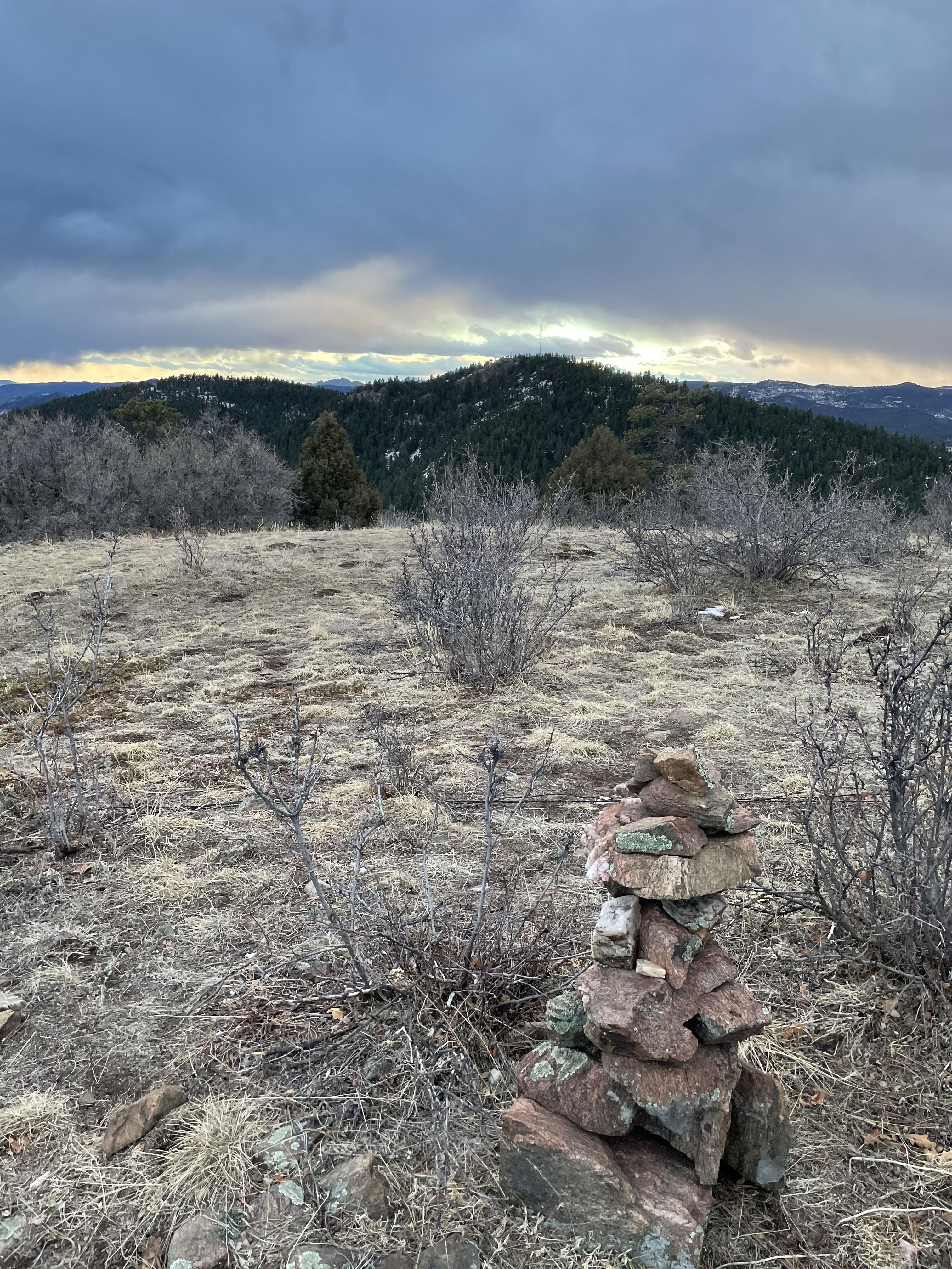
Peak 7965 from the summit of Mount Lindo.
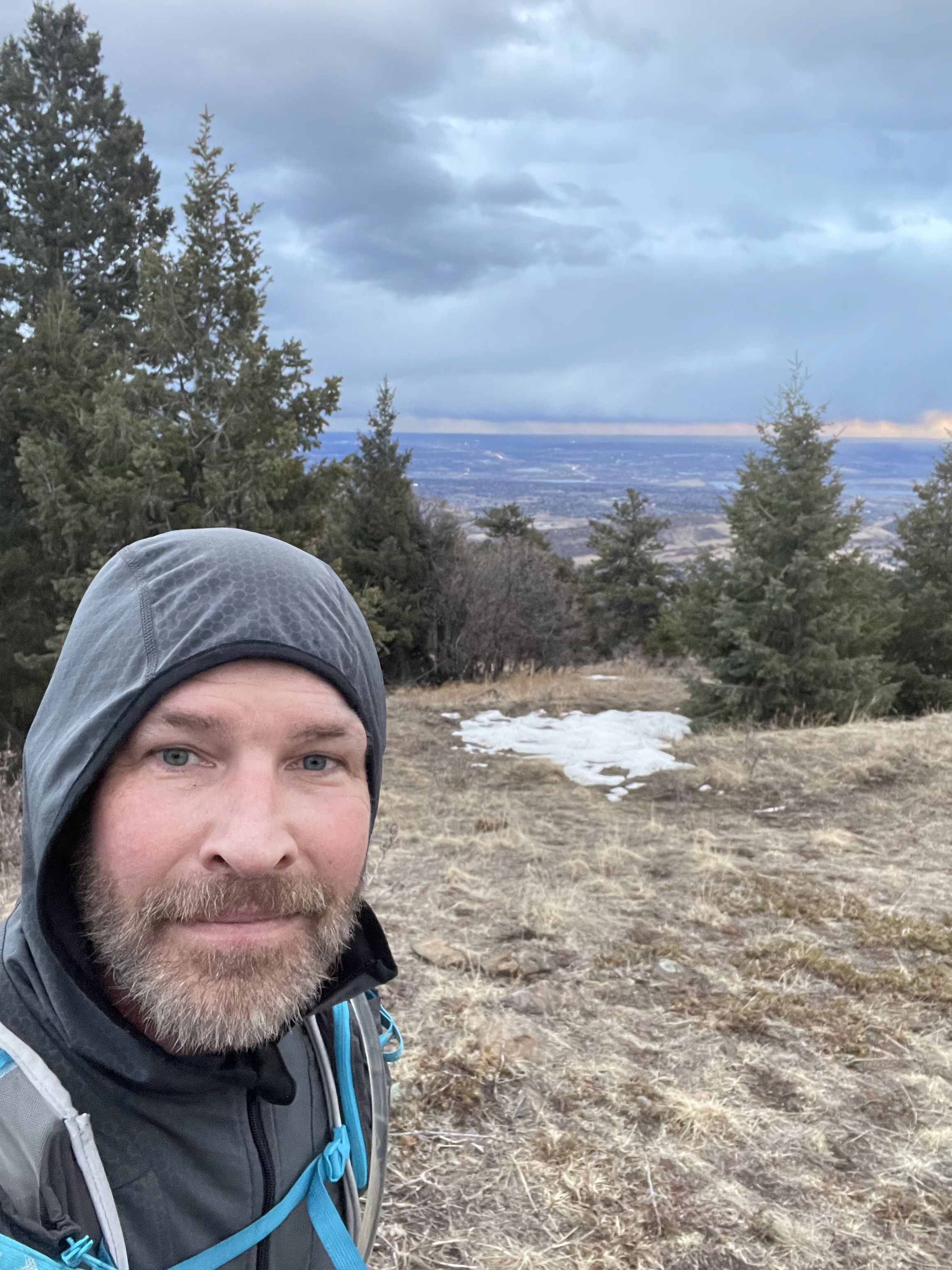
Summit Photo (Mount Lindo)
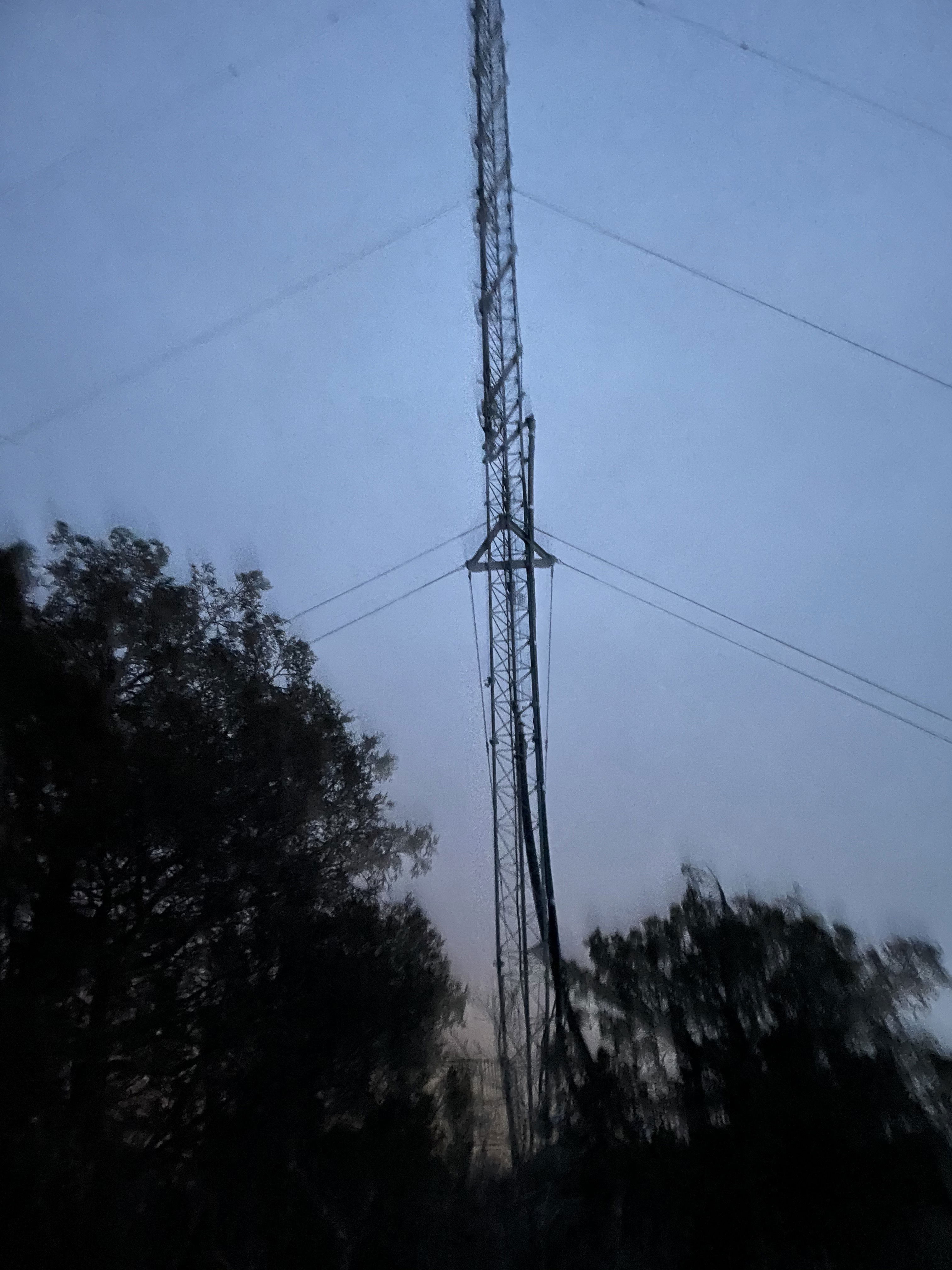
Radio tower on the summit of Peak 7965.
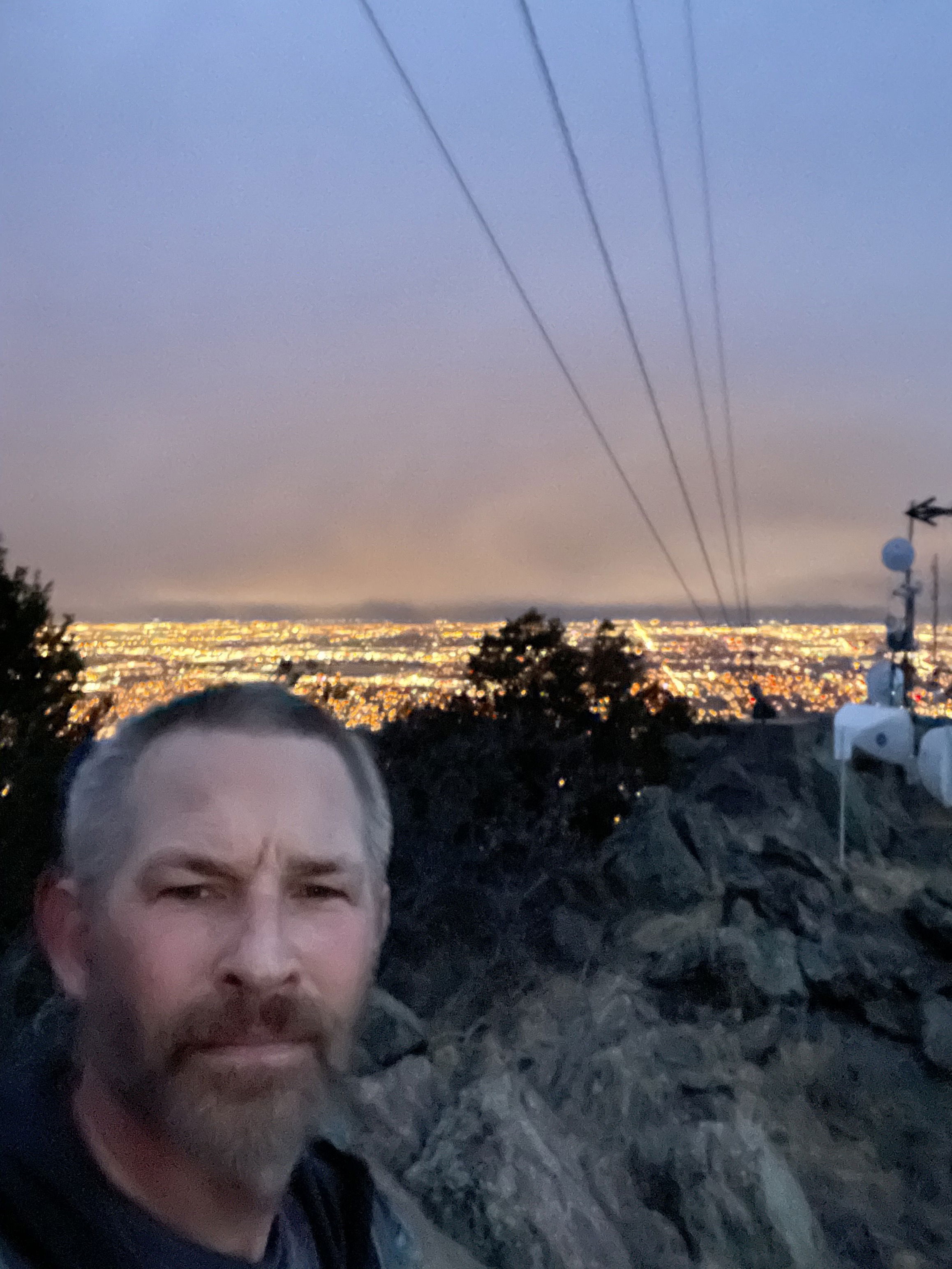
Summit Photo (Peak 7965)
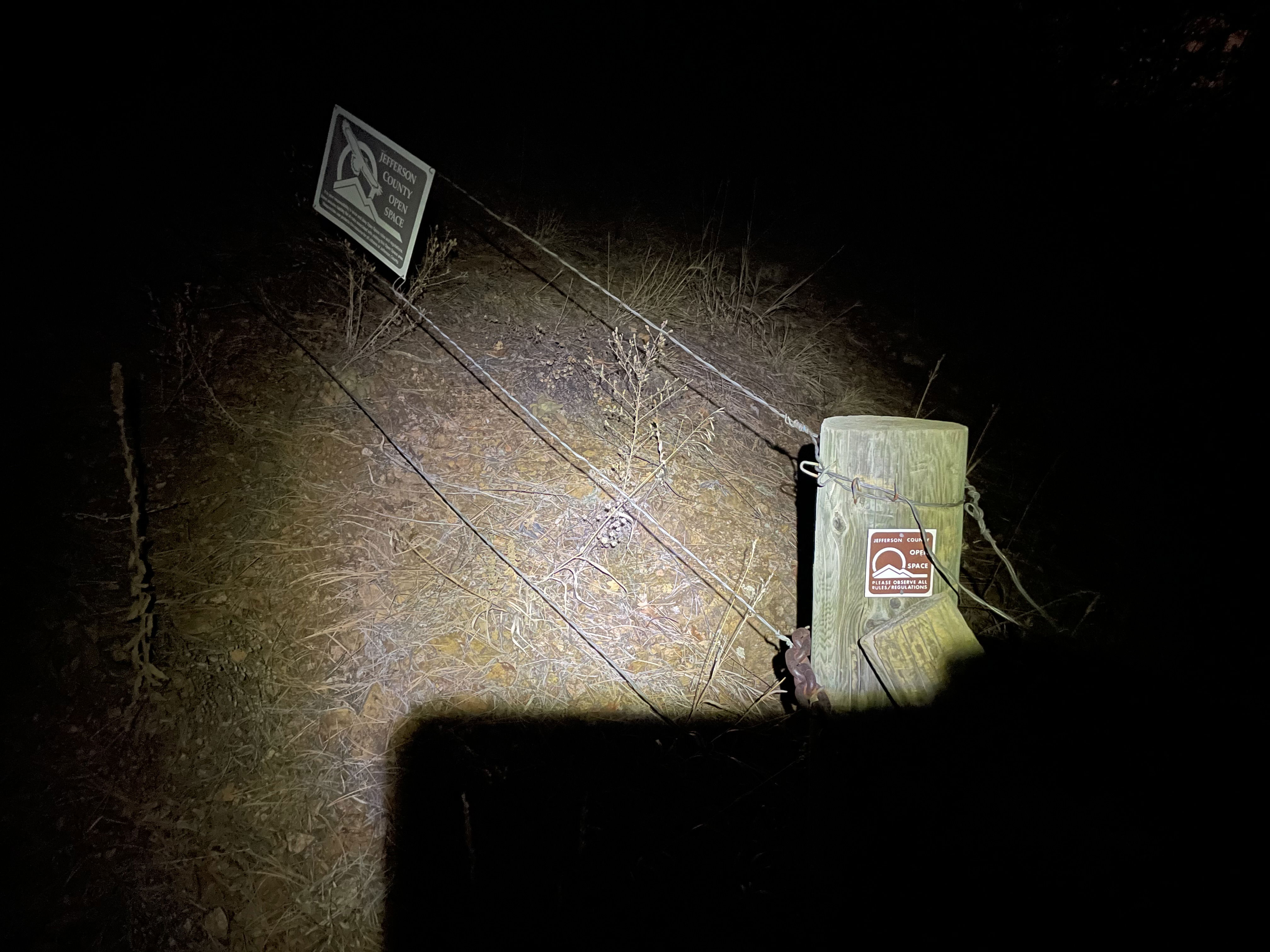
The trailhead had signs for Jefferson County Open Space.