
Vermillion Peak/Fuller Peak
Statistics
- Date - 10/09/2020
- Elevation - 13,894'/13,761'
- Route - Southeast Ridge/Northwest Ridge
- Miles - 8.8
- Elevation Gain - 3,795'
- ACME Mapper - Link
- CalTopo - Link
- Partners - Not Applicable
Description
Vermillion Peak was my 92nd Centennial Peak. I hiked the southeast ridge starting from the first switchback on the Clear Creek Road. This is kind of cheating and cuts 1.8 miles and 540' off of the overall hike. I also hiked Fuller Peak on this trip since it was so close. I left my residence at 4:00 pm on Thursday and made it to the trailhead at 11:00 pm after stopping in Gunnison, Colorado, for some food and gas.
I was hiking by 5:45 am and was surprised to have a bit of company on the trail. I guess I underestimated the popularity of the Ice Lake Basin. I hiked on the well-defined trail all the way to Fuller Lake where I left the trail and other hikers behind. The scramble from Fuller Lake to the Vermillion-Fuller Saddle was a bit tedious, but not terribly difficult. From the saddle, I decided to climb Vermillion Peak first since it had more elevation gain and was my primary goal for this trip.
The southeast ridge of Vermillion Peak is easy to follow as a use trail leads you the entire way up the route. The 100 foot narrow dirt-filled gully to the notch above the Vermillion Dollar Couloir (on the other side of the mountain) was somewhat challenging due to limited holds and traction. From the notch, it is a fun and quick scramble to the summit. The views from this peak are quite remarkable. There was a bit of haze from lingering fires in the state, but not too bad.
I made quick work of the descent back to the Vermillion-Fuller Saddle and then hiked up the northwest ridge of Fuller Peak to its summit. Contrary to Vermillion Peak, the top of Fuller Peak was broad and flat which allowed for a nap if so desired. After a few minutes, I hiked back down to Fuller Lake and Ice Lake where I was met by a lot of hikers. I stopped at Fuller Lake and stripped down to my shorts and short-sleeve shirt for the hike out.
I was back at the trailhead at 12:50 pm for a 7 hour and 5 minute car-to-car day with approximately 15 minutes on both summits. On the way home I stopped in Montrose, Colorado, to visit a friend who had just moved to Colorado from Idaho. After saying hello, I drove to Grand Junction, Colorado, to see my oldest daughter who is going to Colorado Mesa University. We went out for dinner before I fell asleep in my vehicle in her backyard. I drove back to the Front Range the following morning after filling her house with food and playing a bit of cribbage.
Photos
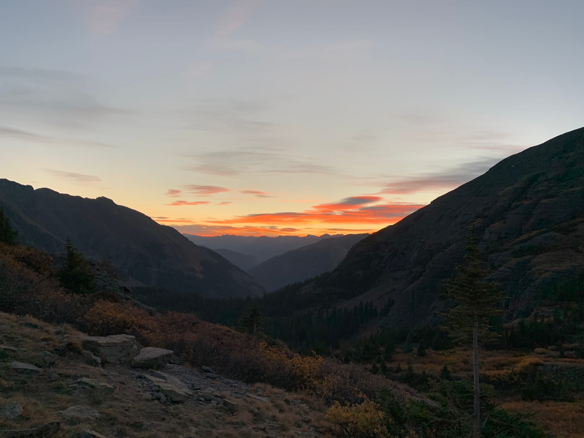 Sunrise
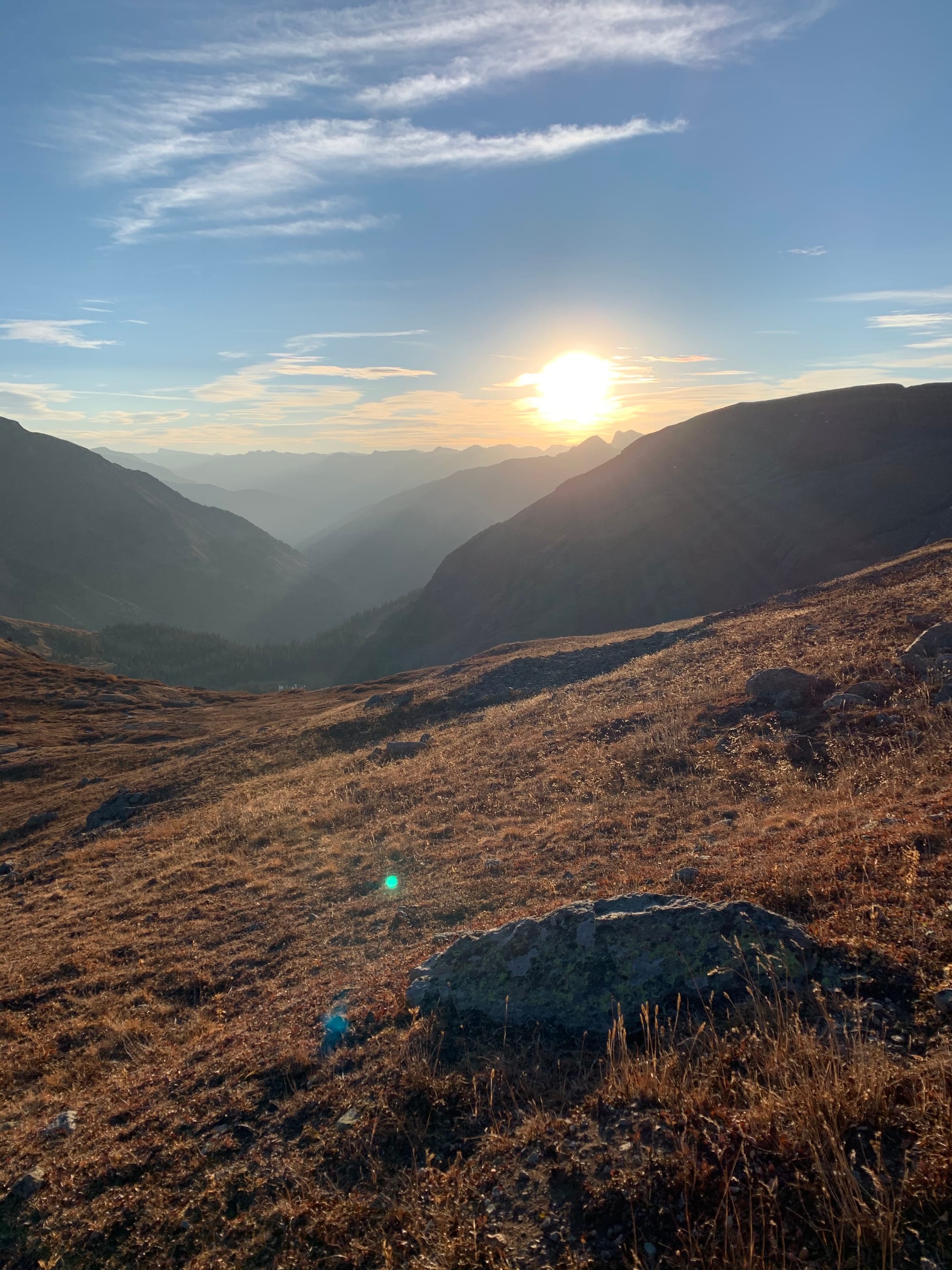 Sunrise
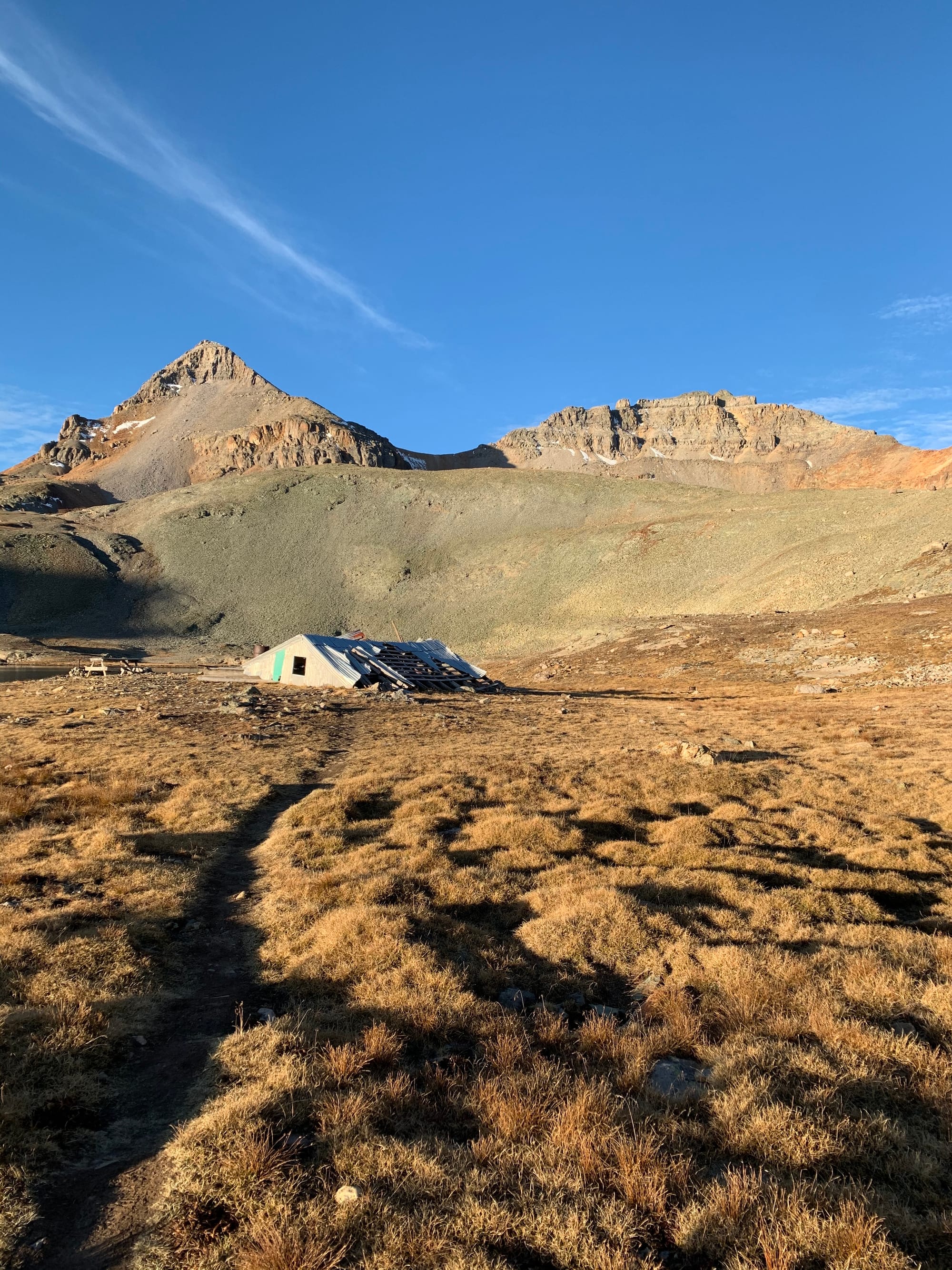 Fuller Peak and Vermillion Peak from Fuller Lake.
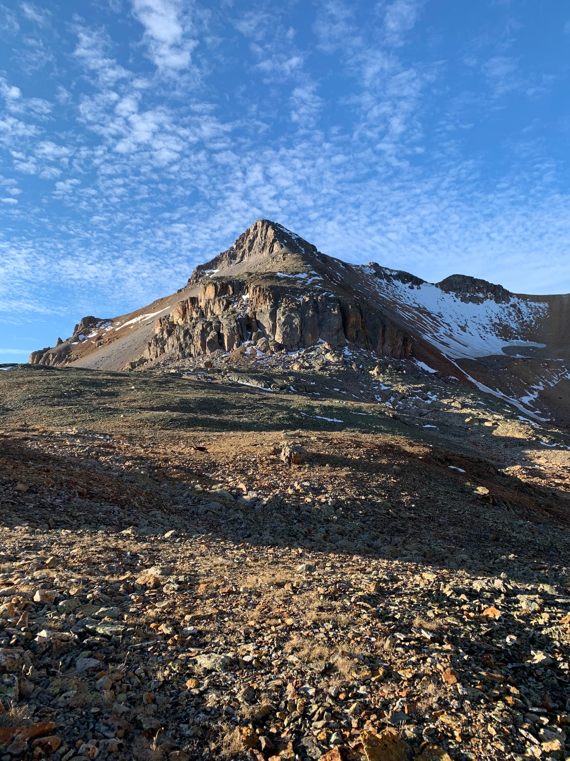 Fuller Peak
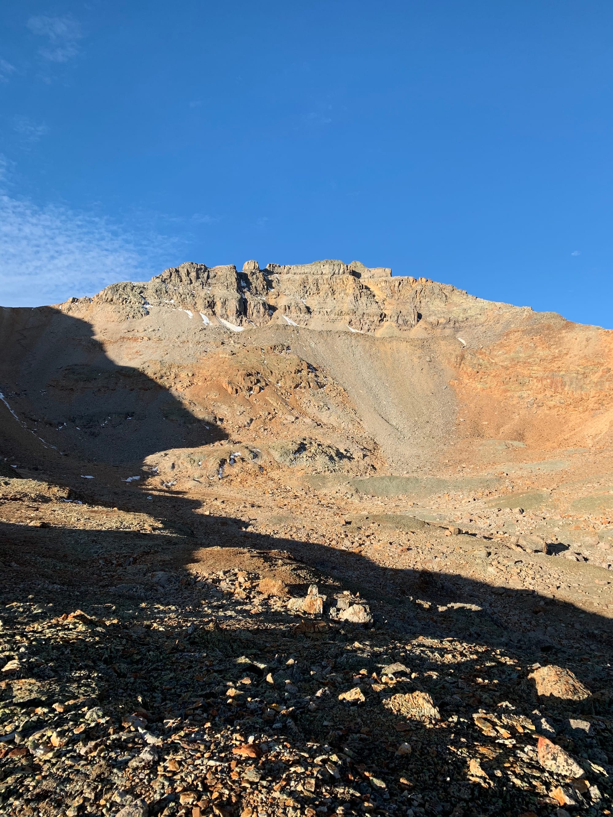 Vermillion Peak
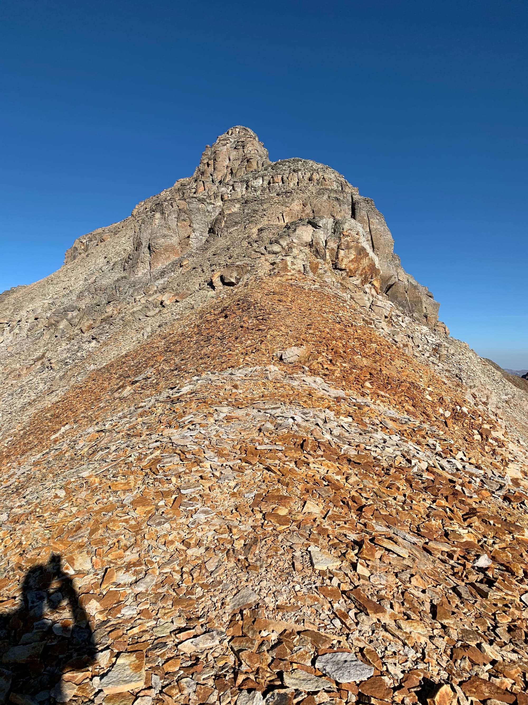 The start of the southeast ridge of Vermillion Peak.
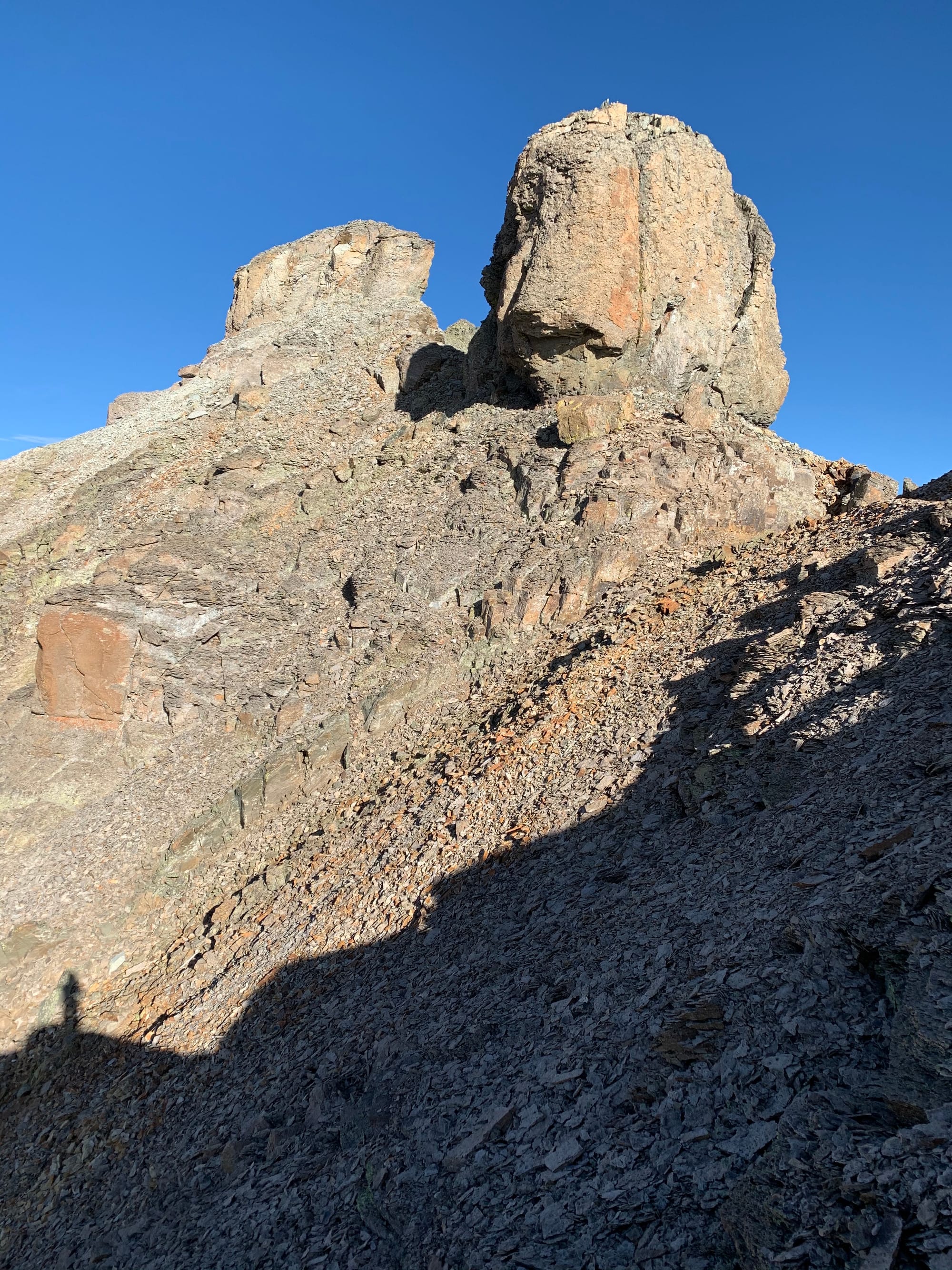 Rock formations on the southeast ridge of Vermillion Peak.
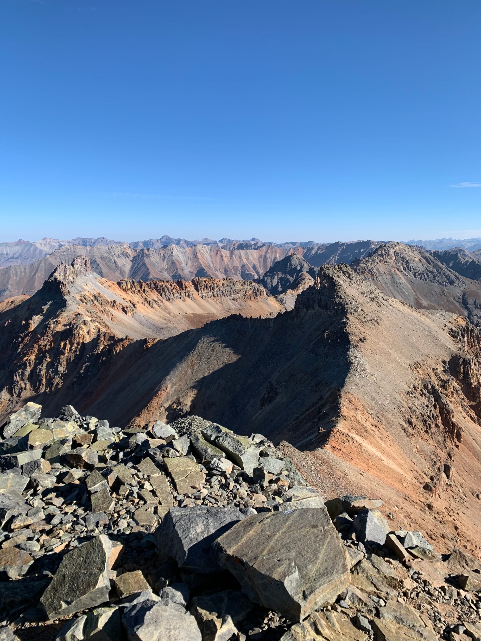 Views to the northeast including Golden Horn.
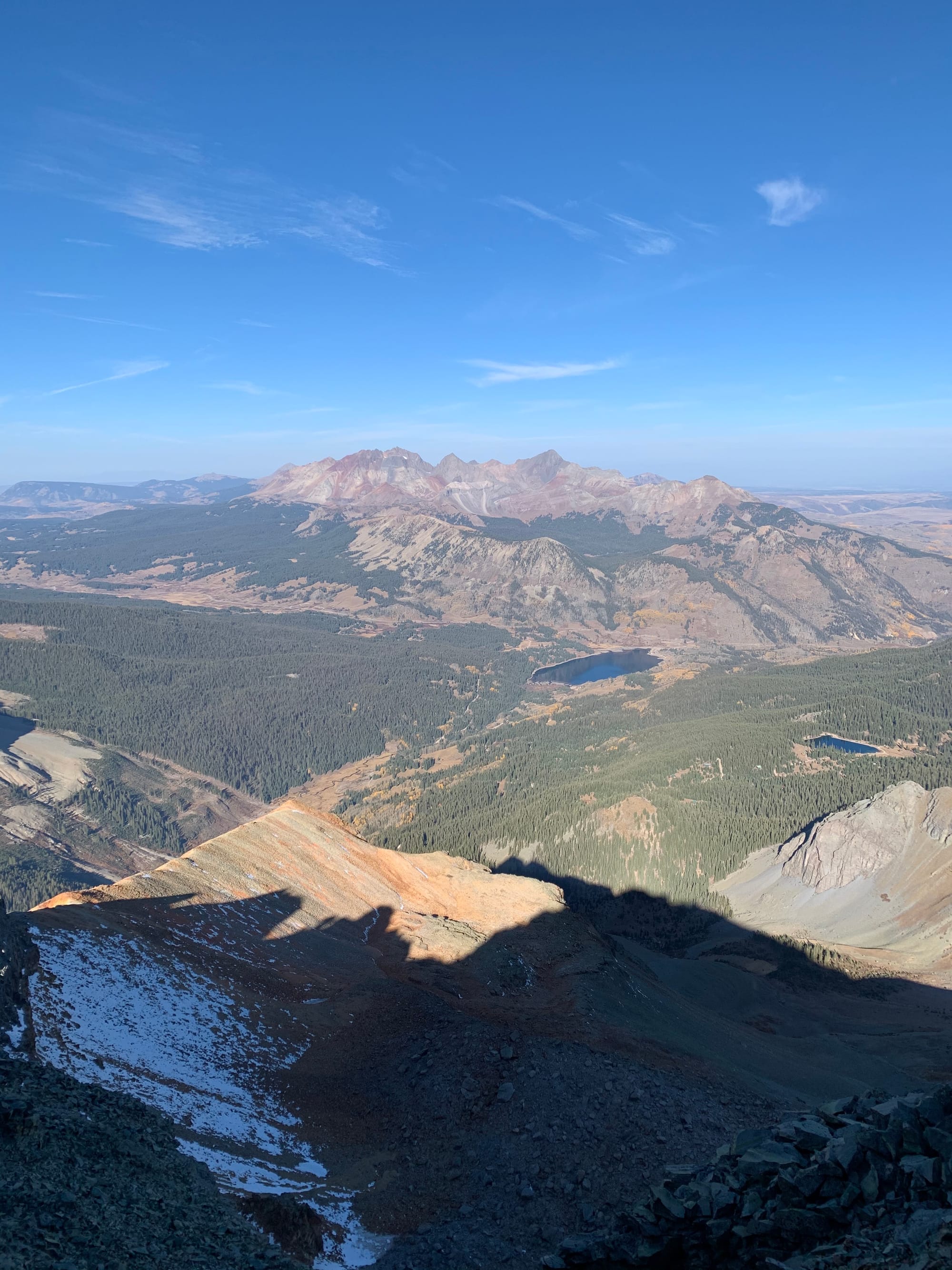 Trout Lake to the northwest.
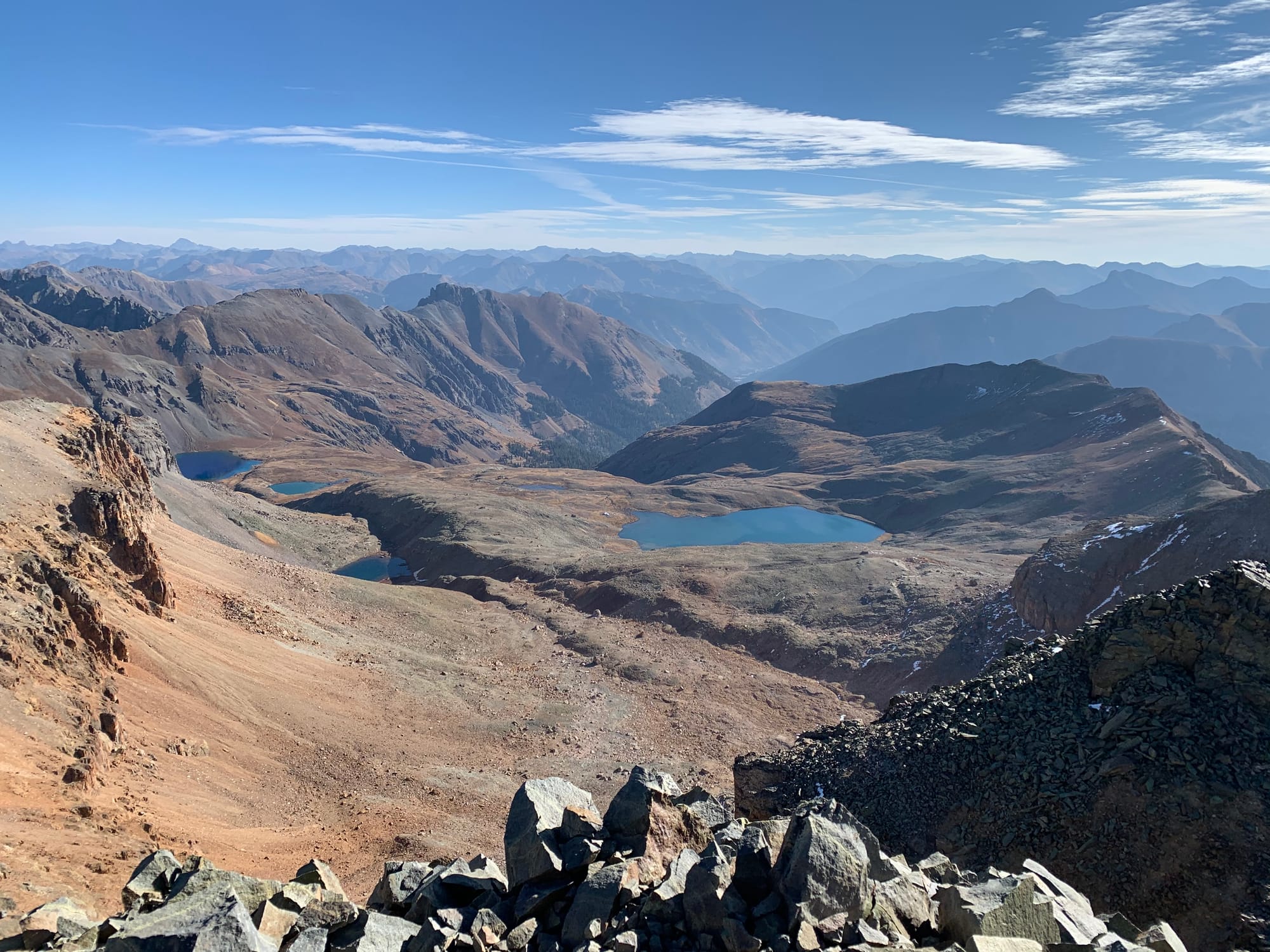 Ice Lake Basin
 Summit Photo (Vermillion Peak)
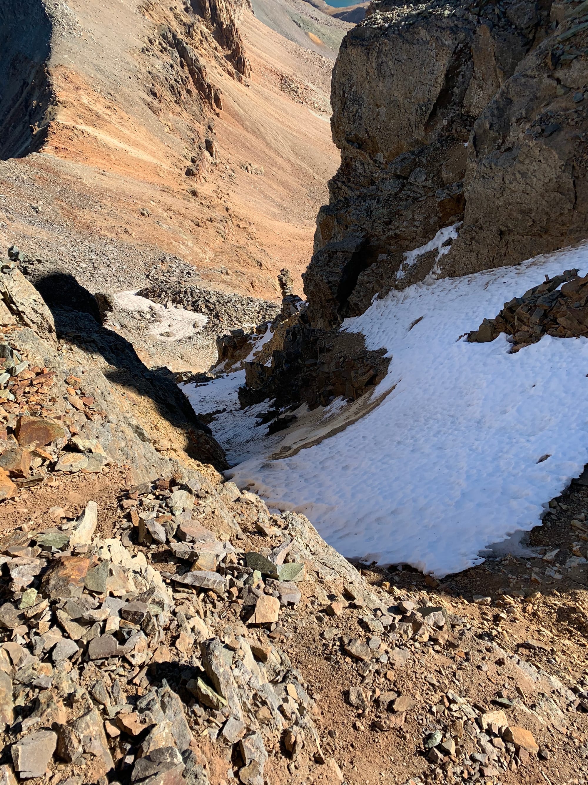 Looking down the Vermillion Dollar Couloir.
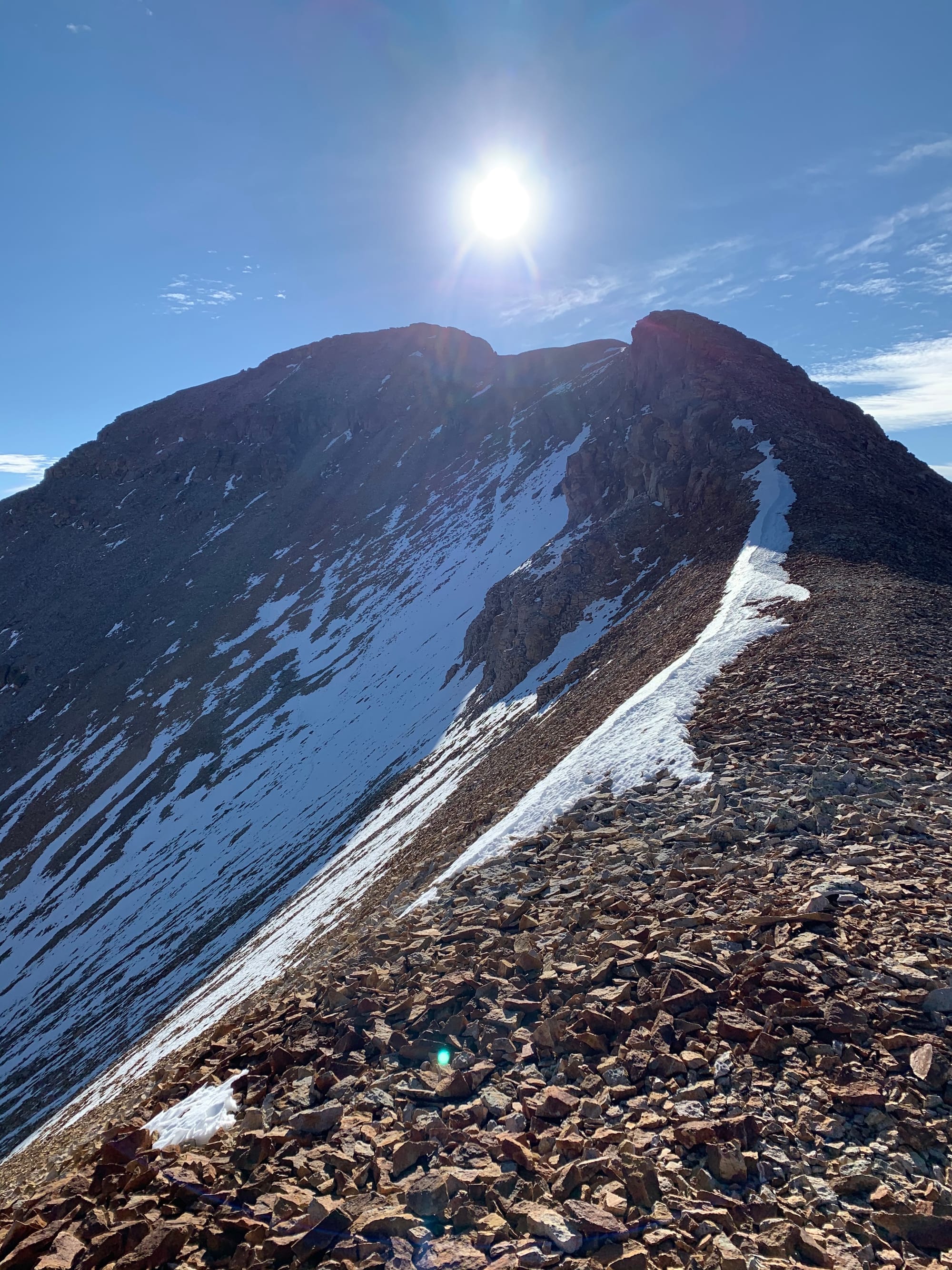 The northwest ridge of Fuller Peak.
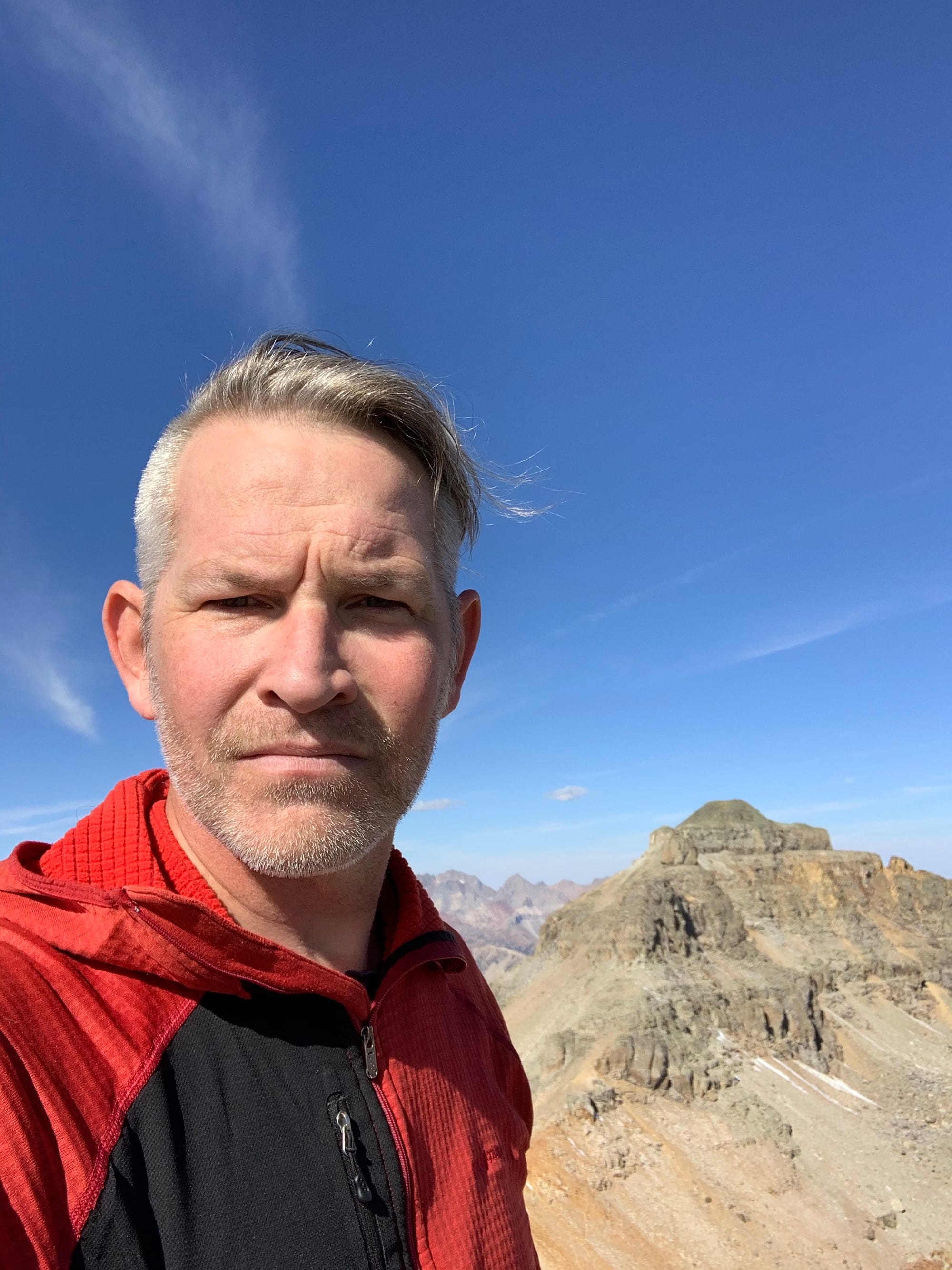 Summit Photo (Fuller Peak)
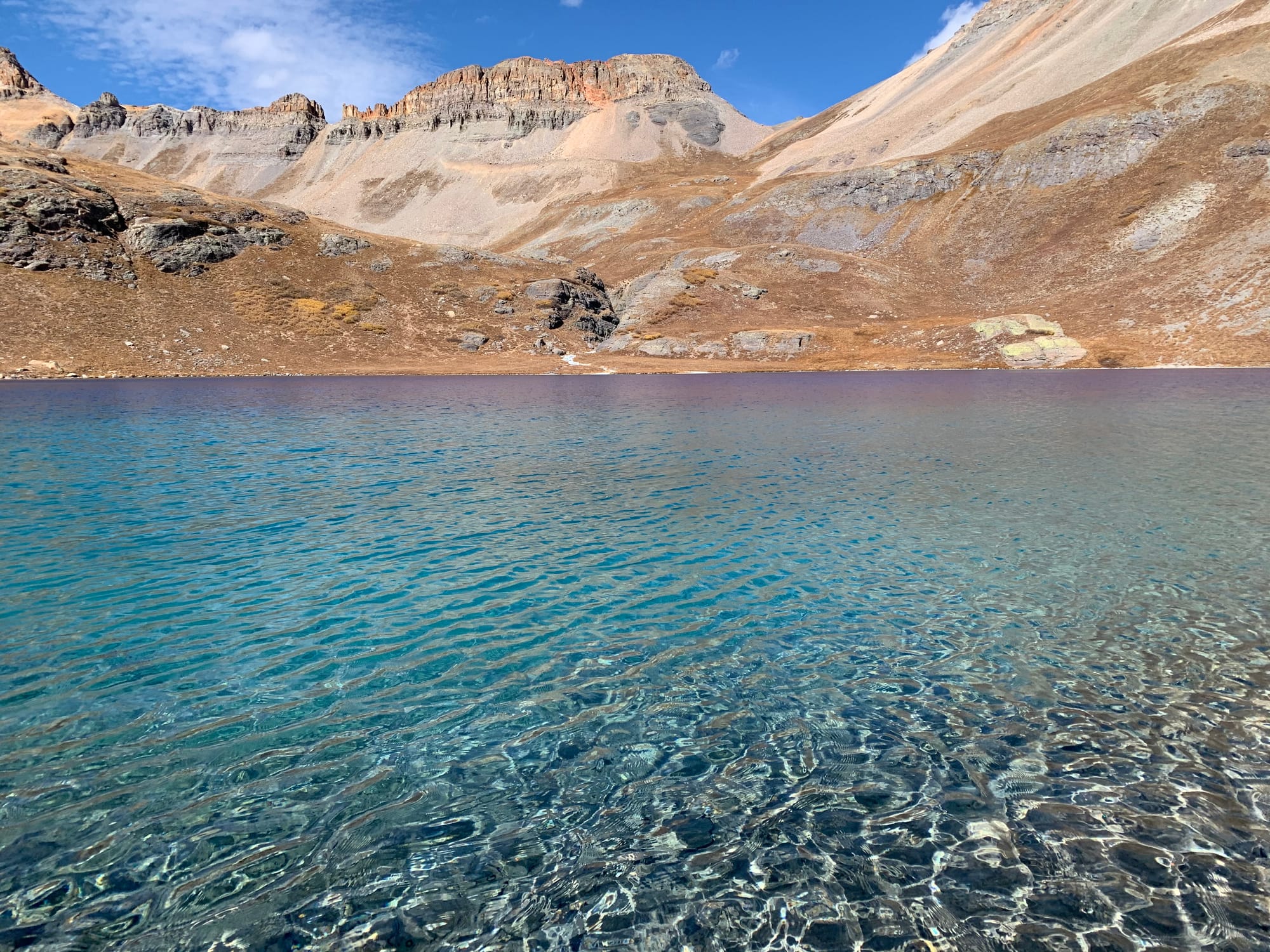 Ice Lake
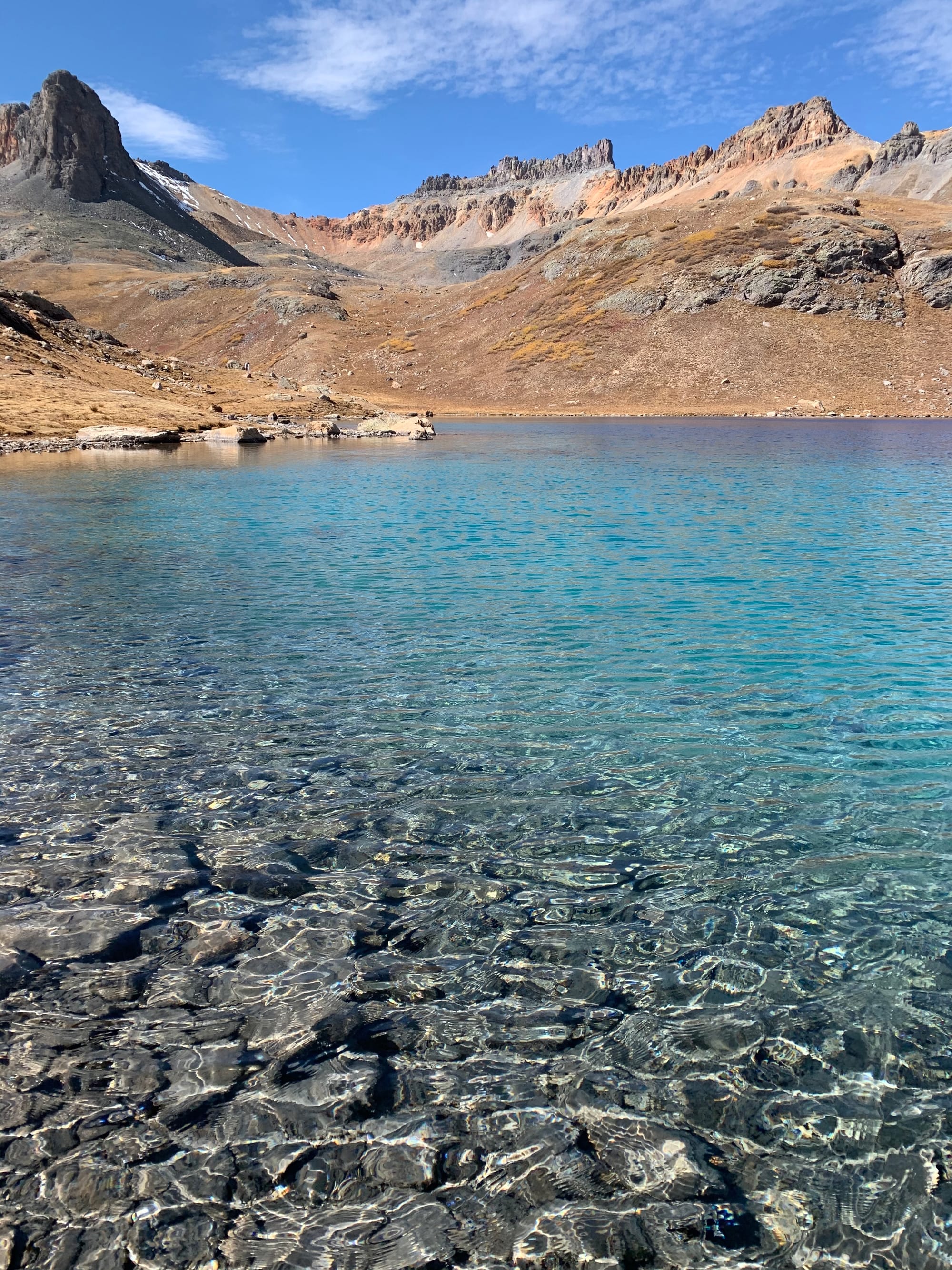 Ice Lake