
Lackawanna Peak
Statistics
- Date - 06/09/2019
- Elevation - 13,823'
- Route - Southwest Couloir
- Miles - 4.0
- Elevation Gain - 3,450'
- ACME Mapper - Link
- CalTopo - Link
- Partners - Not Applicable
Description
I climbed the Southwest Couloir on Lackawanna Peak, a Colorado Centennial Peak. This was a relatively quick and short jaunt up the 95th tallest peak in Colorado. The area up Highway 82 to Independence Pass was pretty destroyed by severe avalanches from the heavy snow this winter. There was significant debris and downfall throughout the valley.
I left my house at 2:30, and was hiking at 5:30. I struggled with low blood sugar for the first part of the day and then felt better as the morning stretched on and I ate more food. The first 1,200' was class two hiking up avalanche debris and the creek running down the southwest side of Lackawanna Peak. I put on my crampons and used an ice axe and trekking pole from around 11,800' to the summit. The snow climbing was never that steep, but I enjoyed the morning.
I reached the summit shortly before 9:00. I took some pictures, ate some more food, and sat in the sun before returning the same route I ascended. I can feel my age catching up with me and was fairly sore hiking down. The snow wasn't soft enough to glissade. One other individual was climbing Lackawanna Peak as I descended. It ended up being a five hour day car-to-car. I stopped at a couple breweries in Evergreen, Colorado, on my way home to get some more stickers for my collection.
Photos
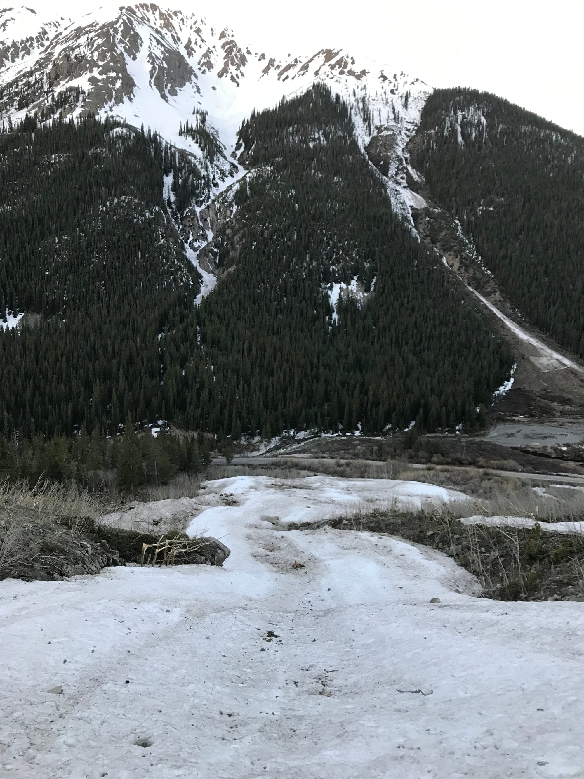 Looking down at Highway 82 after starting the hike.
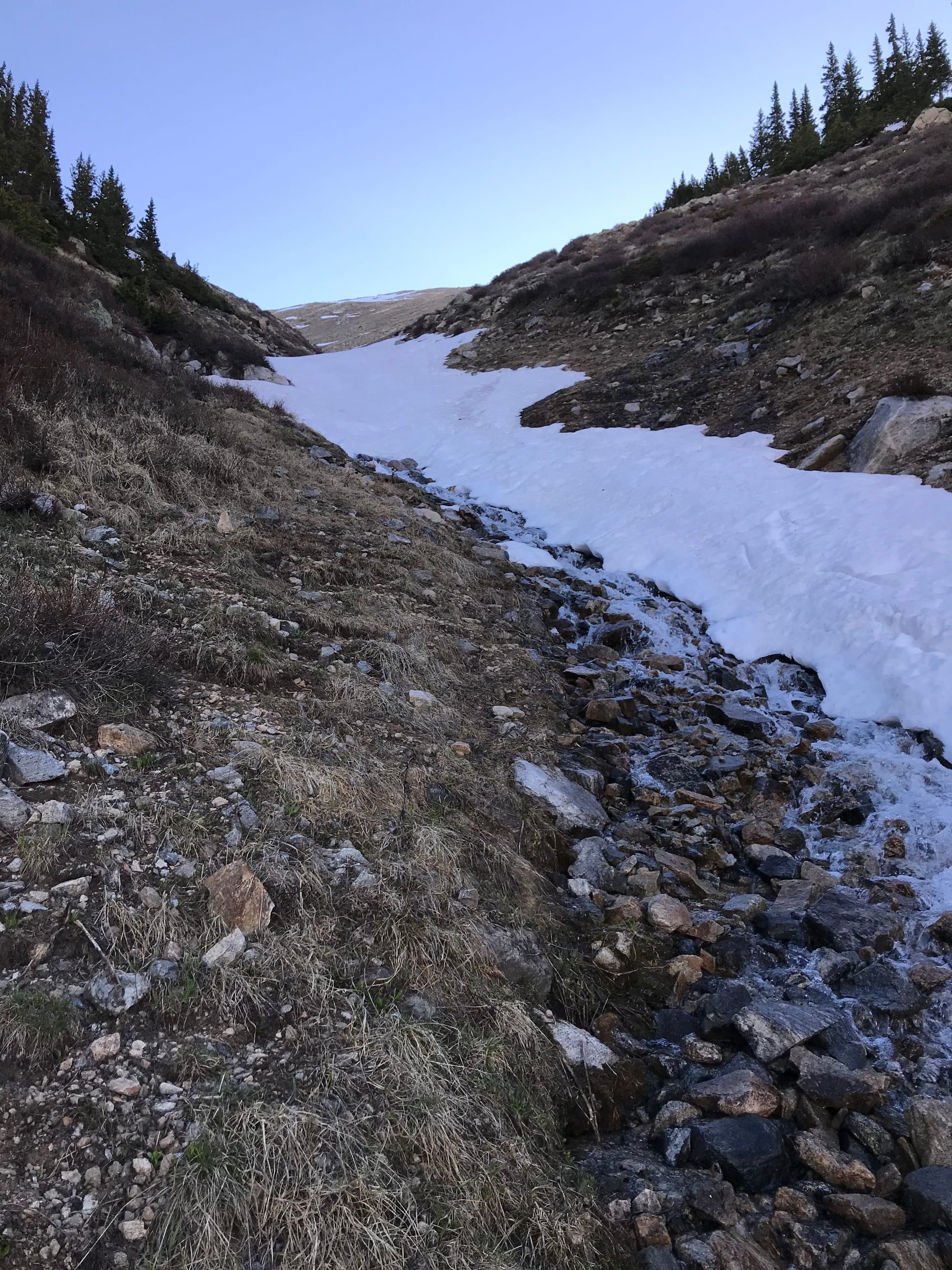 The start of the snow climb.
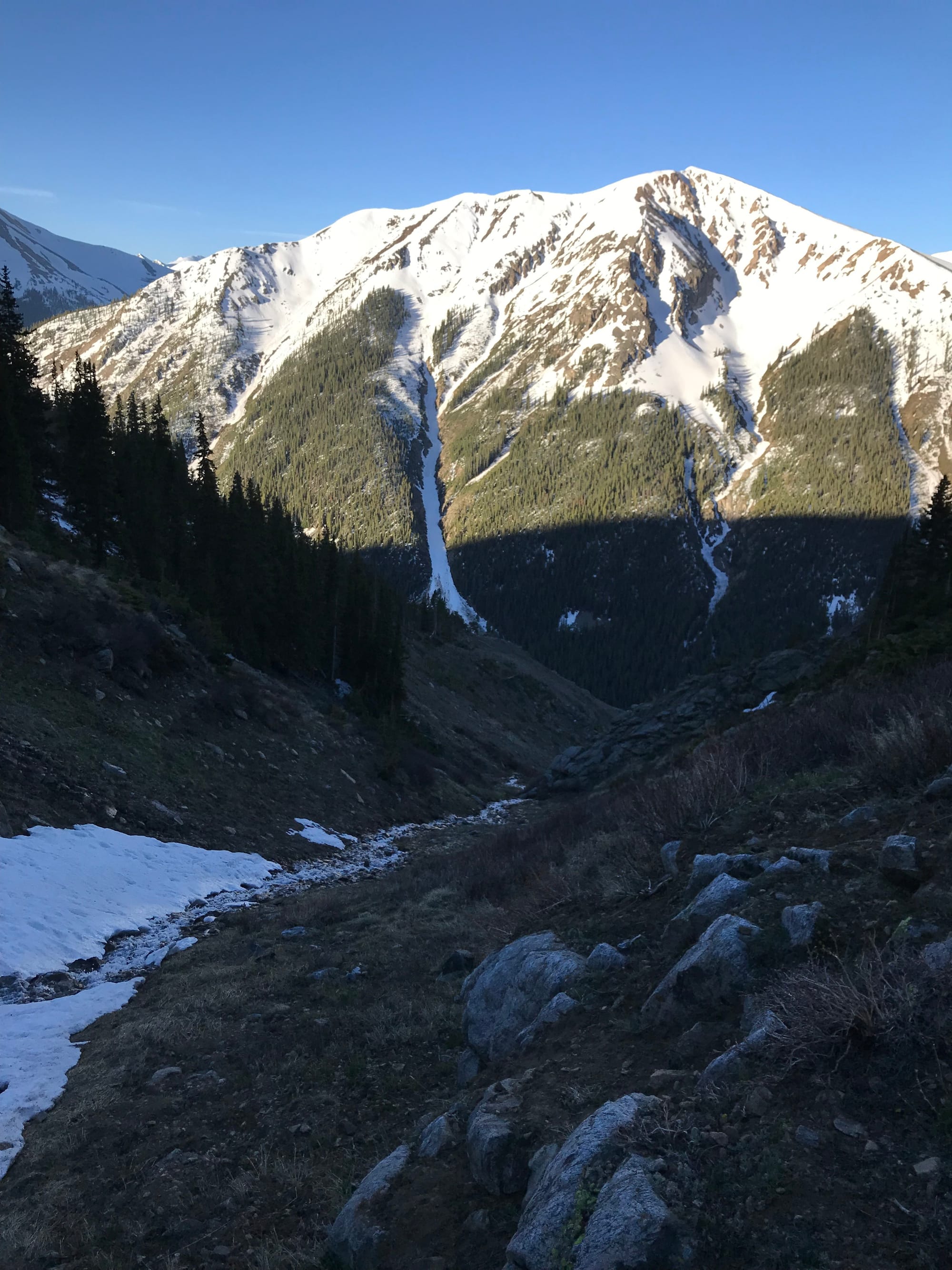 Across the valley from the start of the couloir.
 Looking up the snow climb after gaining some elevation.
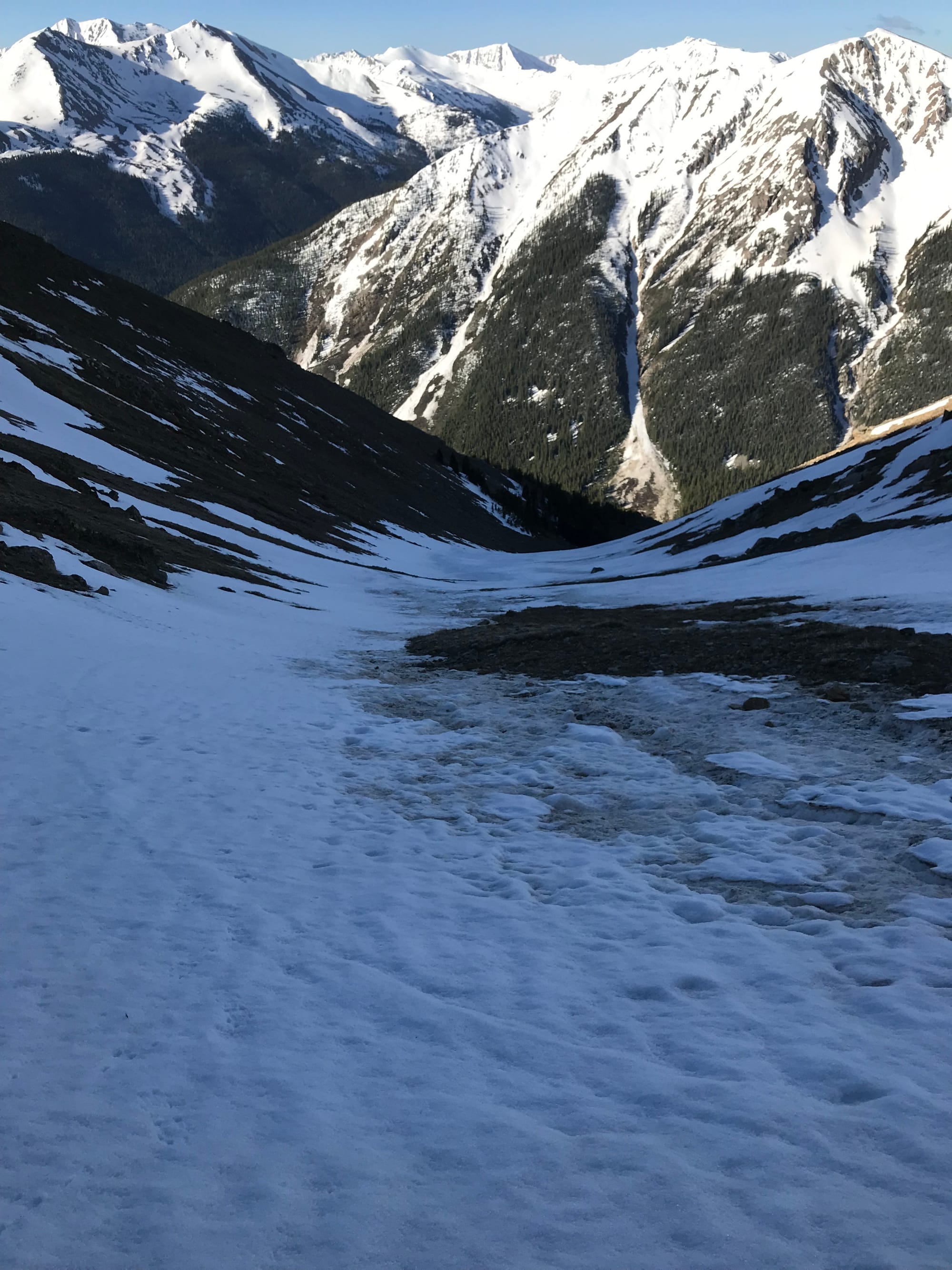 Looking down the snow climb after gaining some elevation.
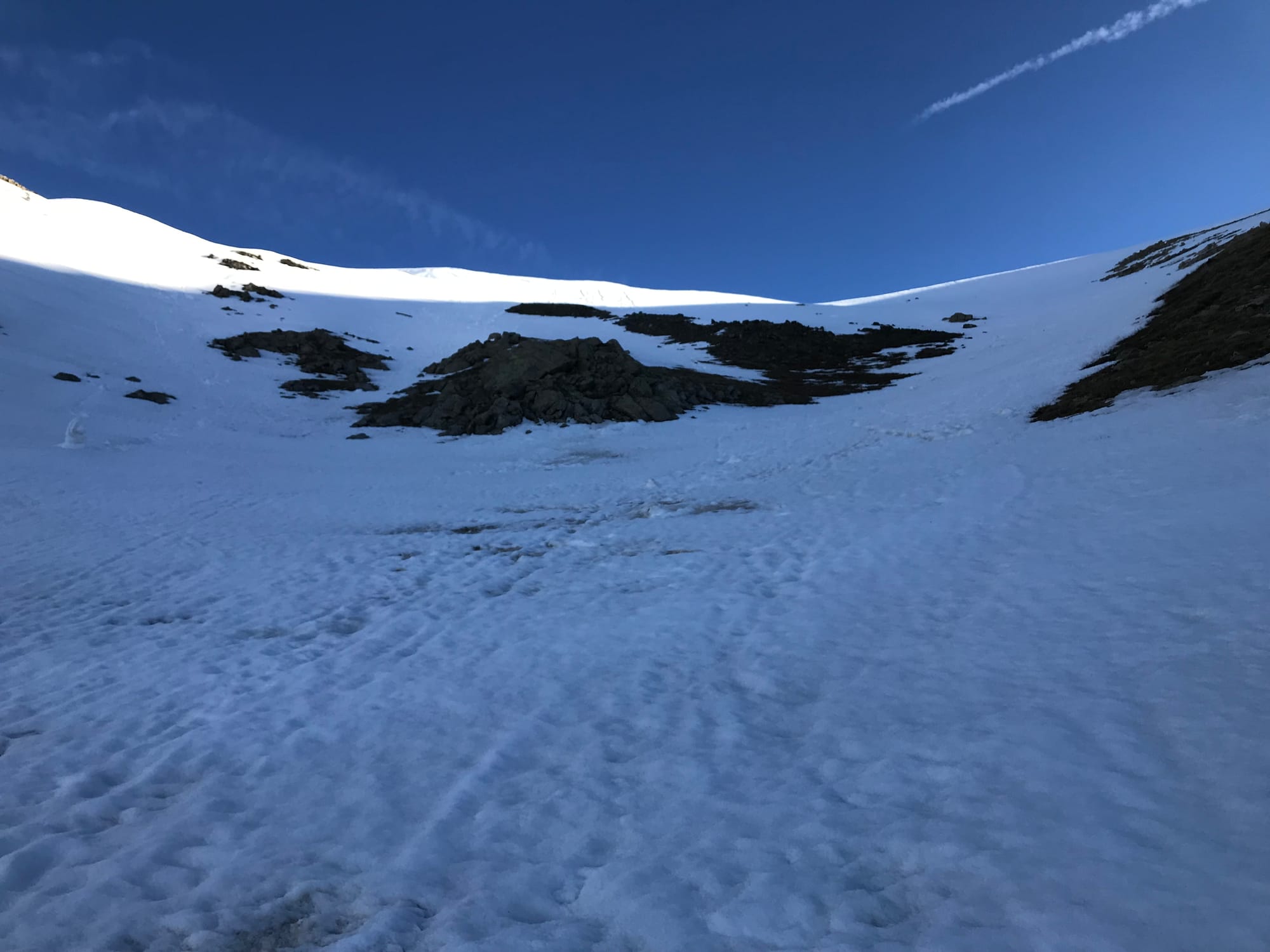 Looking up the snow climb about half way.
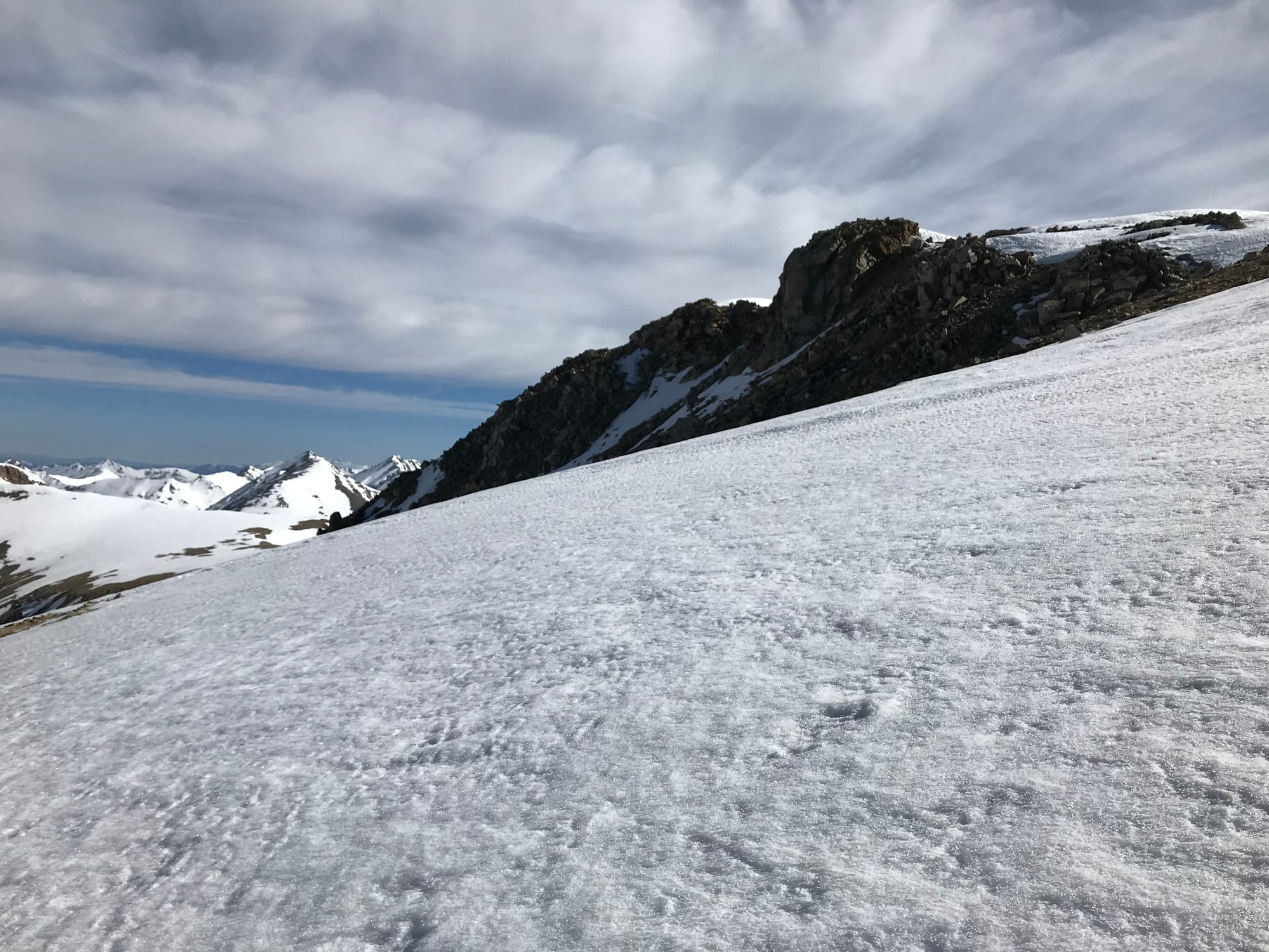 Lackawanna Peak
 Views to the north.
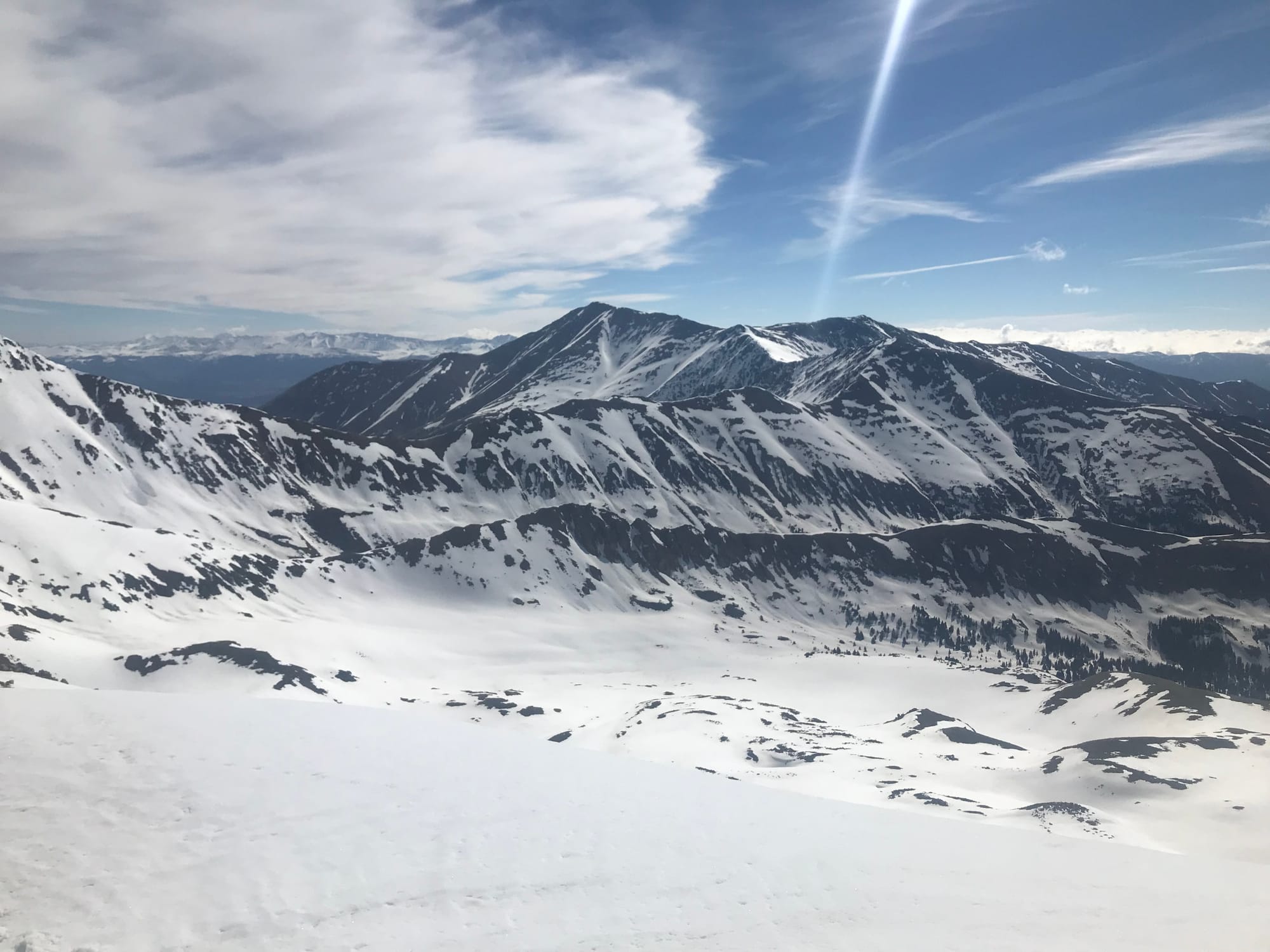 Views to the east.
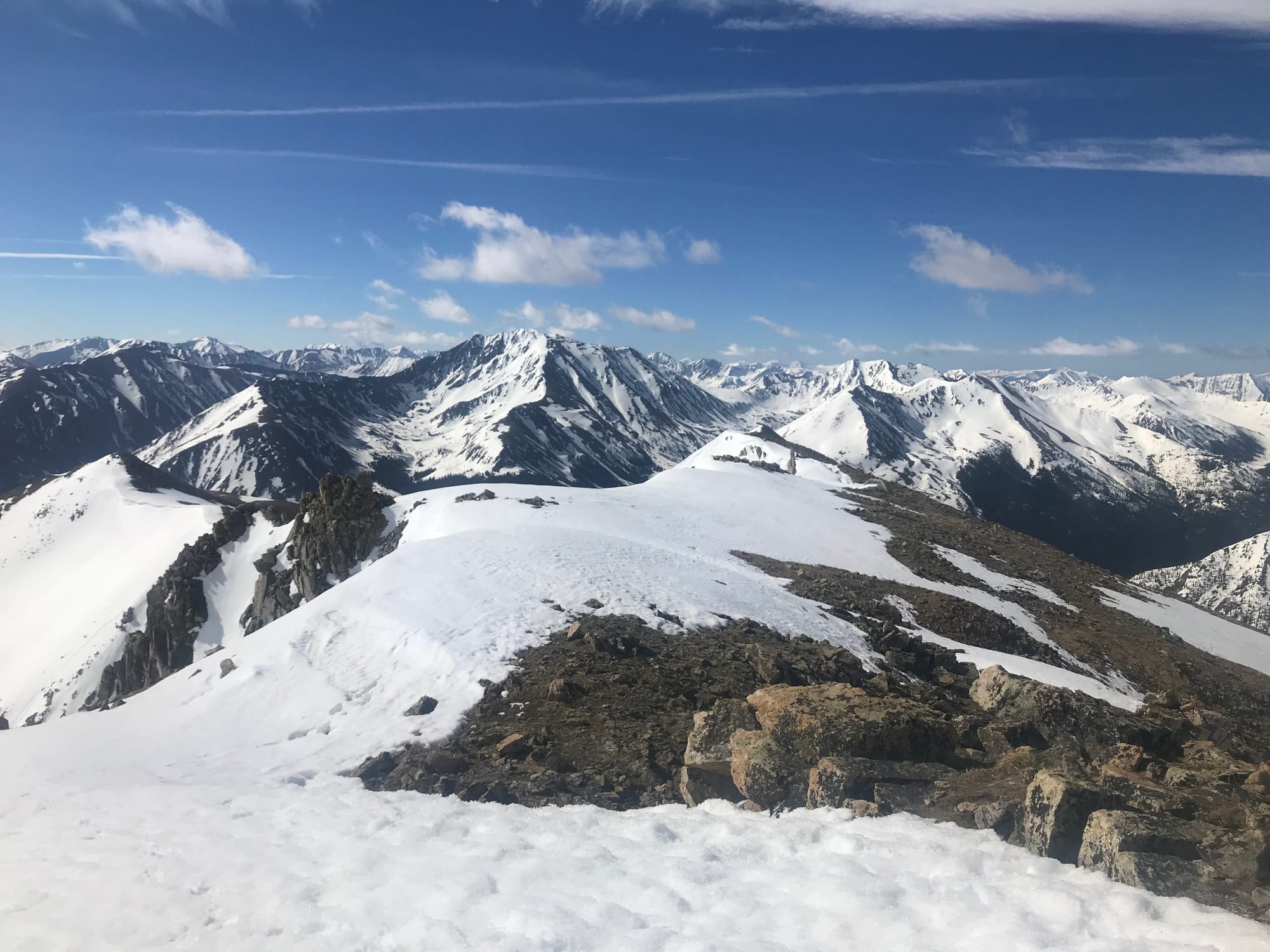 Views to the southeast.
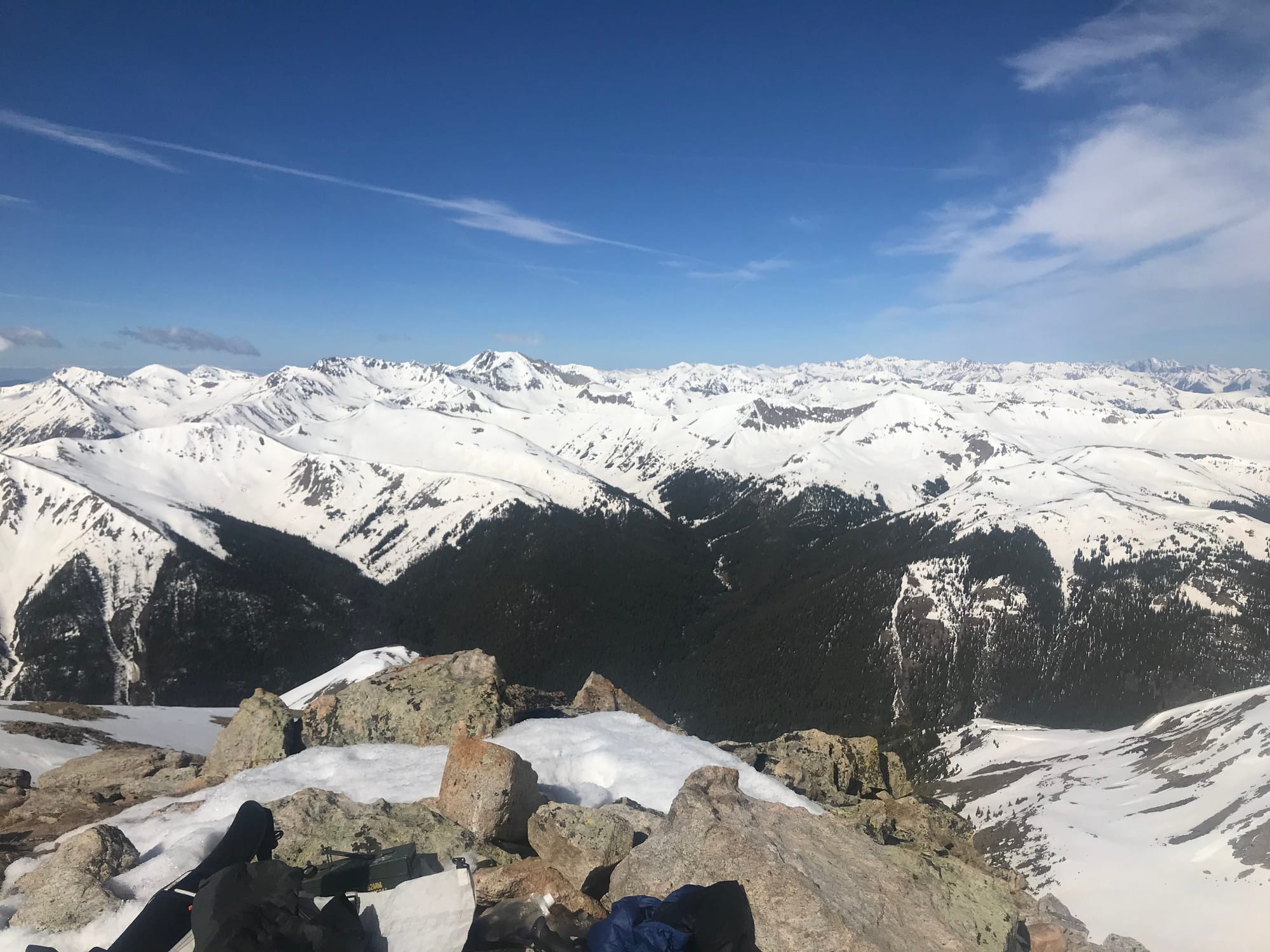 Views to the southwest.
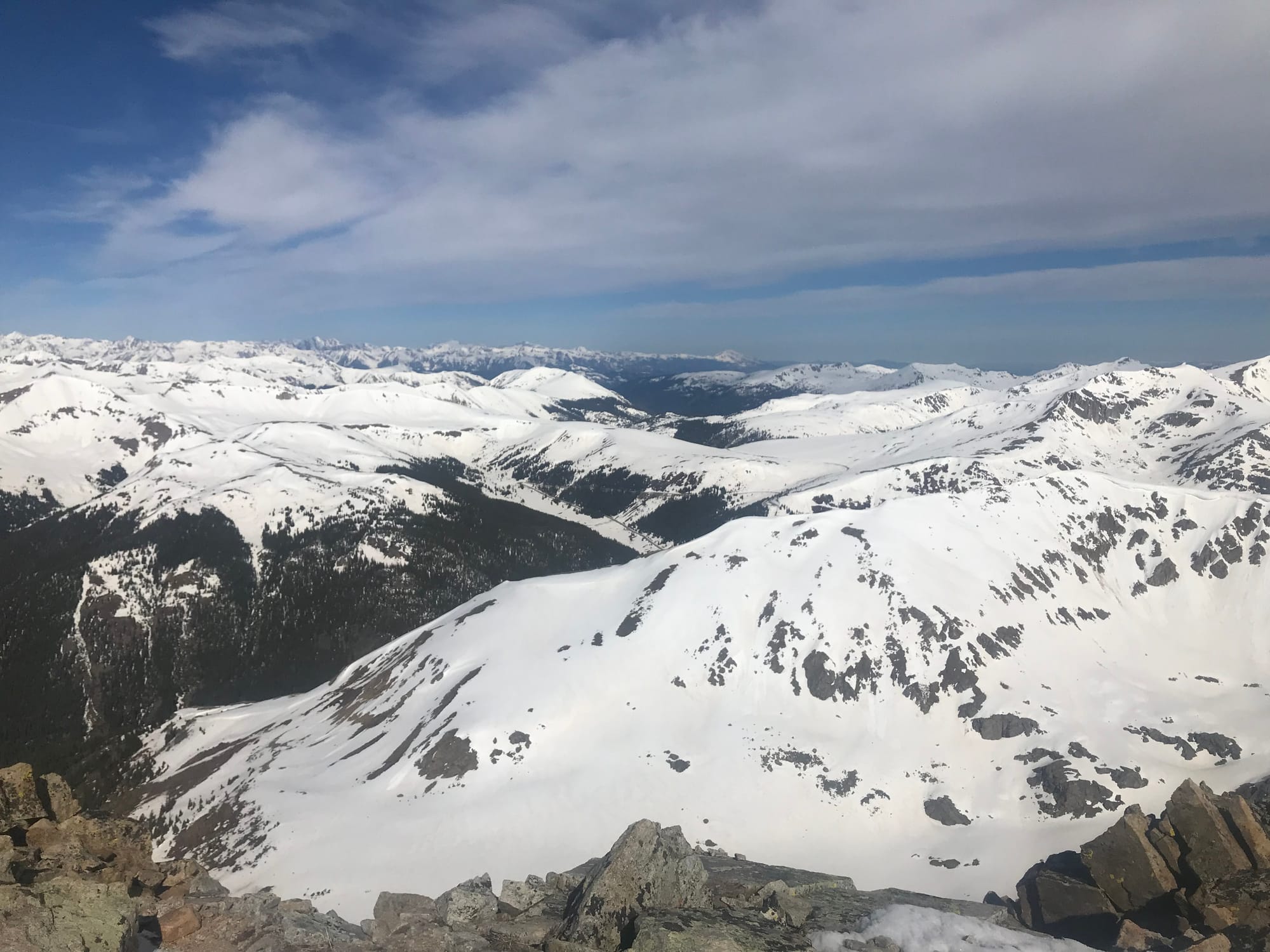 Views to the west.
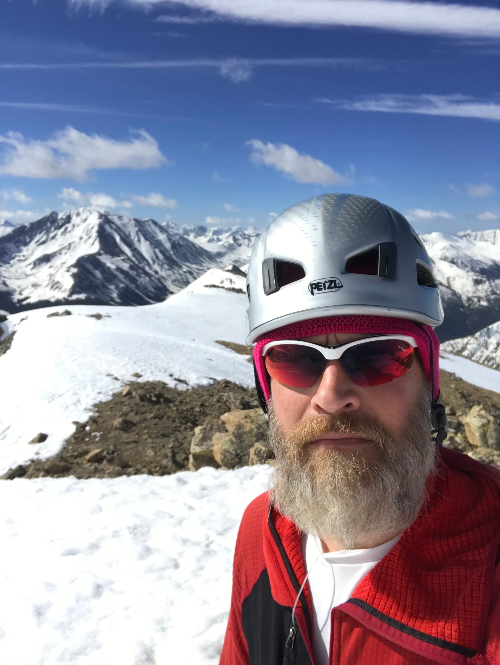 Summit Photo
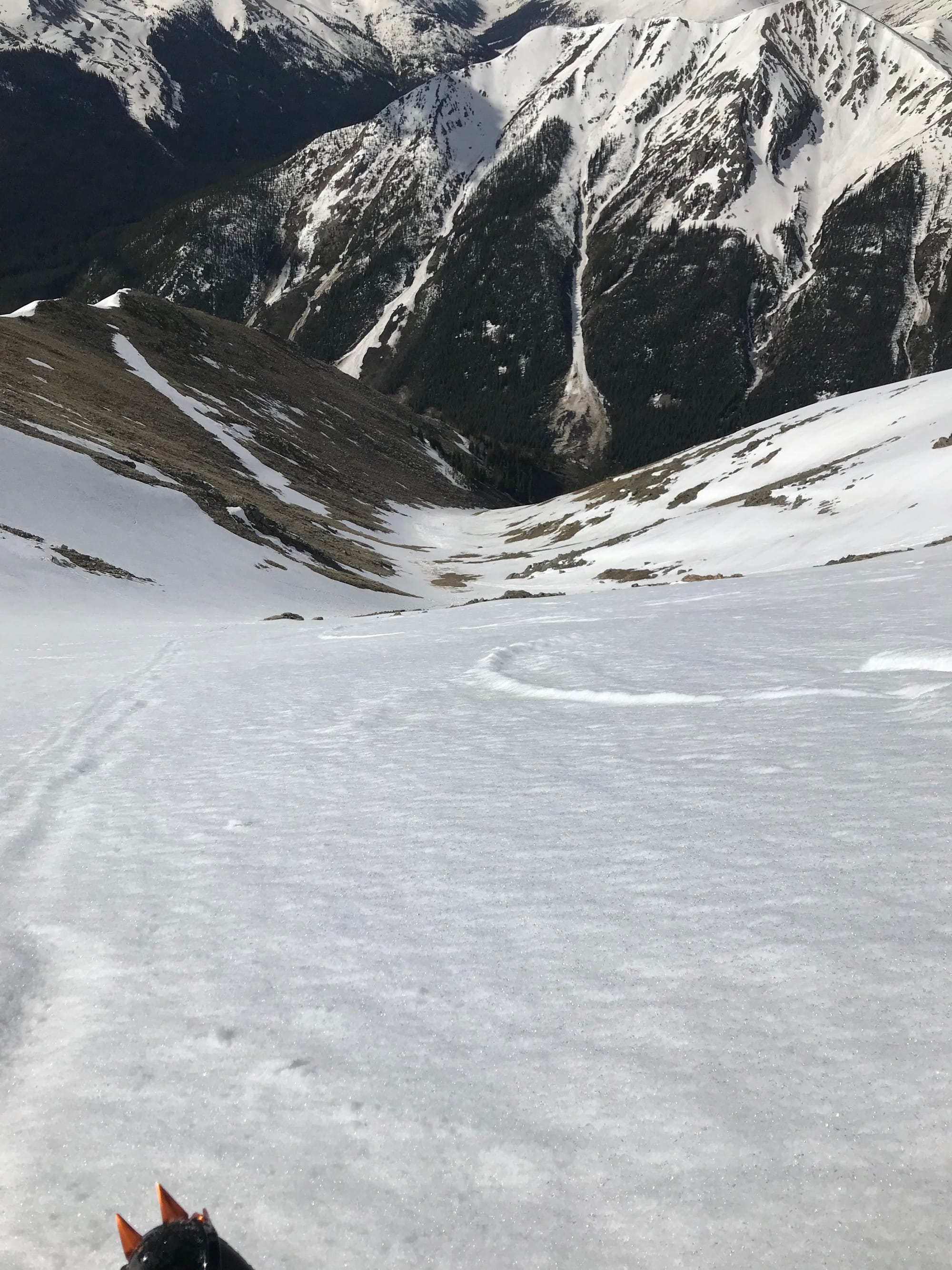 Looking down the full length of the Southwest Couloir.