
Gannett Peak
Statistics
- Date - 07/05-08/2017
- Elevation - 13,809'
- Route - Gooseneck Glacier
- Miles - 42.0
- Elevation Gain - 10,000'
- ACME Mapper - Link
- CalTopo - Link
- Partners - Jeff Shafer
Description
Although I am writing this almost two years after the trip, I remember it being awesome. I wanted to put a goal in front of myself to prepare for, and Gannett Peak was the perfect choice. I did some hiking before hand to get in shape and the trip went off without any issues. It was a heavy snow year in the Wind River Range, but Jeff and I were still able to summit Wyoming's state highpoint and have a great trip.
On Wednesday, we drove from Highlands Ranch, Colorado, to the Elkhart Park Trailhead and were backpacking by 2:00 pm. We made the nine miles to Seneca Lake in five hours and set up our first camp site for the trip. We were hiking on snow the entire trip except for the first five miles. After finding a suitable camp site, we took in the views and ate preparing for the following day.
Day two of the trip covered less miles and set us up well for summit day. We hiked from Seneca Lake to Lower Titcomb Lake which was only five miles but took us four hours. We started at 10:00 am and took our time to enjoy the scenery. Jeff convinced me to stop at Lower Titcomb Lake rather than continue farther up the basin. He preferred a longer summit day with lighter packs than moving camp up to Upper Titcomb Lake and then having heavier packs for a longer distance on the way out. This strategy worked well, but did lengthen our summit day. The marmots are really aggressive, and Jeff even killed one that wouldn't leave our gear alone. You certainly have to hang food when leaving camp.
Summit day was 12 hours and 14 miles with approximately 5,800' of climbing. We started at 4:00 am and made or way over Bonney Pass to the summit and back. The mountain wasn't that crowded and we only saw a few other climbers all day. The setting and day was amazing. The climbing wasn't difficult and bergshrund was easy to navigate. We even got a signal at the summit and Jeff was on social media live-streaming our summit time. The climb back up Bonney Pass back to base camp was annoying, but not too difficult. The hike from Upper Titcomb Lake to Lower Titcomb Lake seemed to have a more adverse affect on us.
Day four had us packing up camp and hiking the 14 miles all the way back out to the trailhead. There are a few ups and downs on the trail given the distance, but we made the 14 miles out in nine hours hiking from 6:00 am to 3:00 pm. We decided to make the drive all the way back to Denver, Colorado, on the day we hiked out and ended up at home around 11:00 pm. In days gone by, I would have written a novel about this trip. Nevertheless, it was really worth it and the Wind River Range is beautiful. Gannett Peak is difficult, but not out of the question especially if you have the time.
Photos
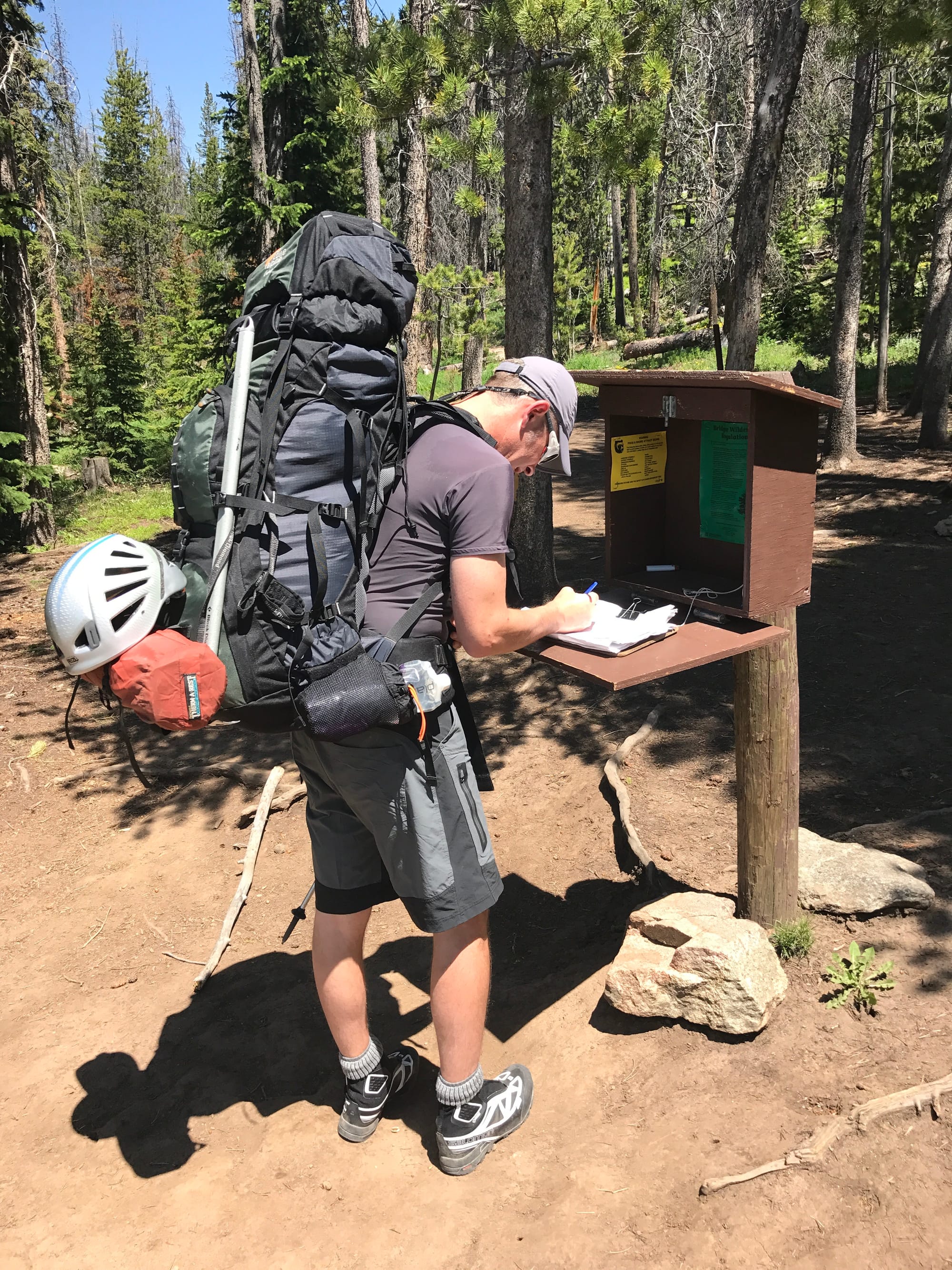 Trailhead
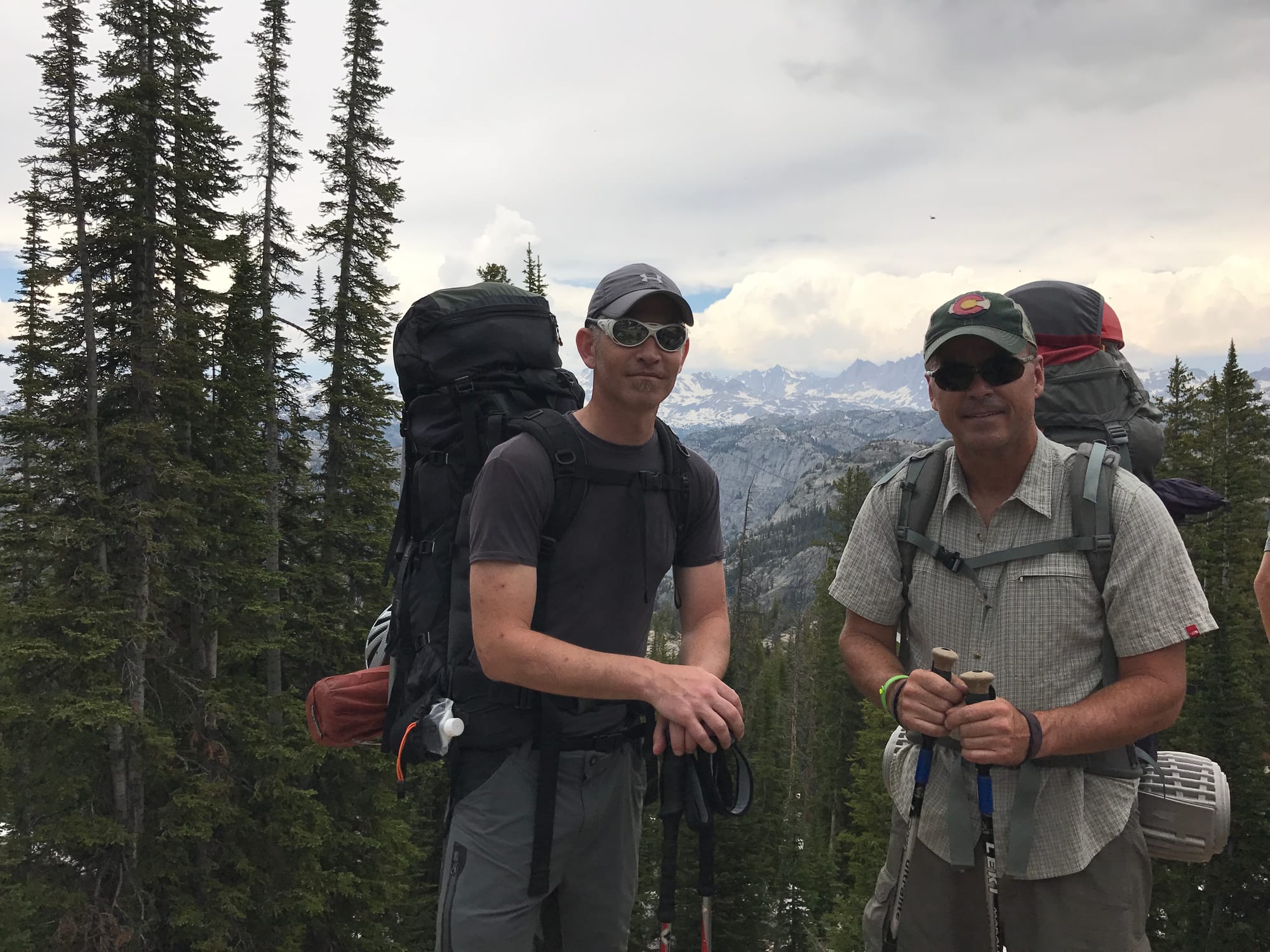 James and Jeff
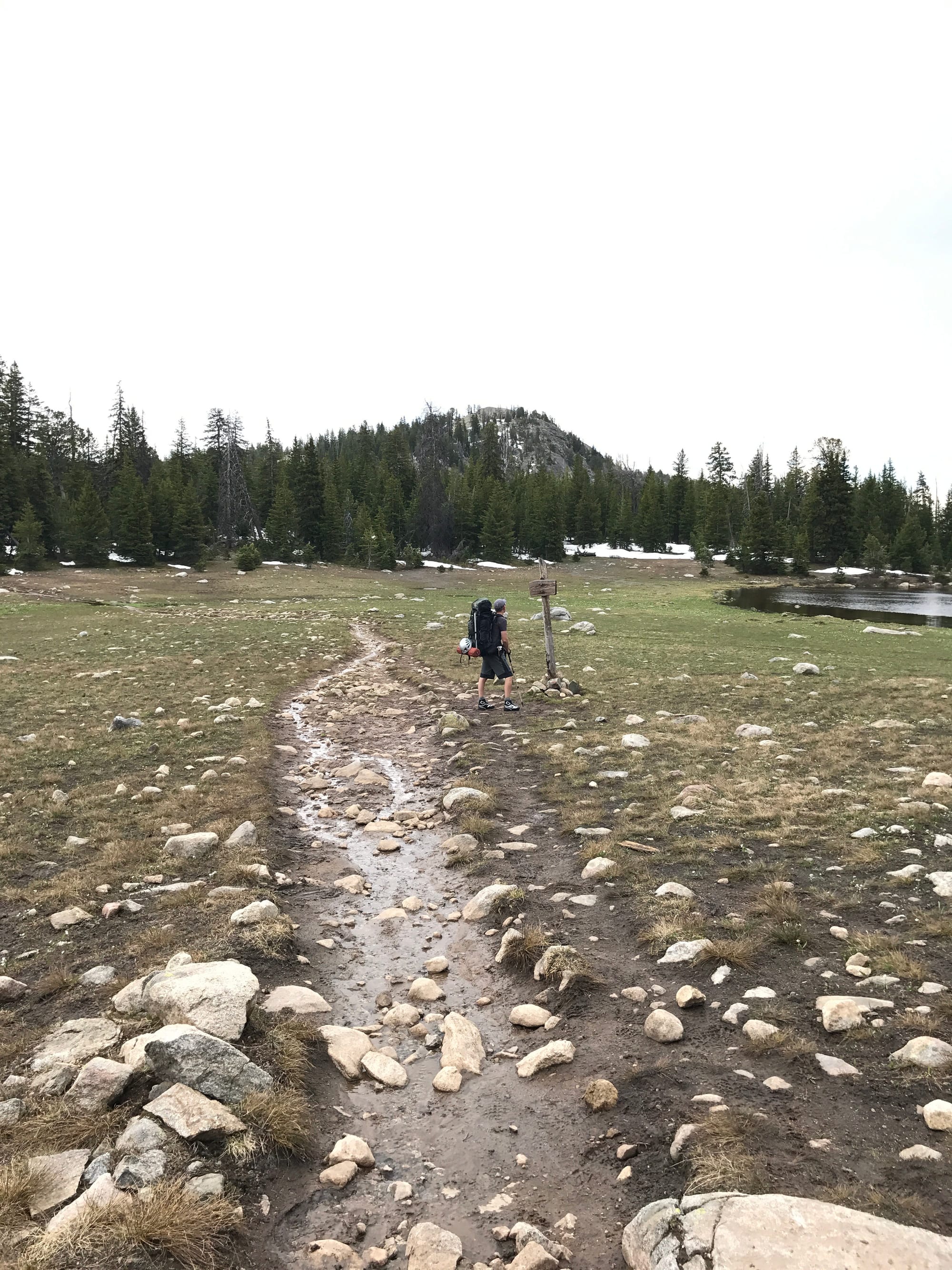 Muddy trails to begin with.
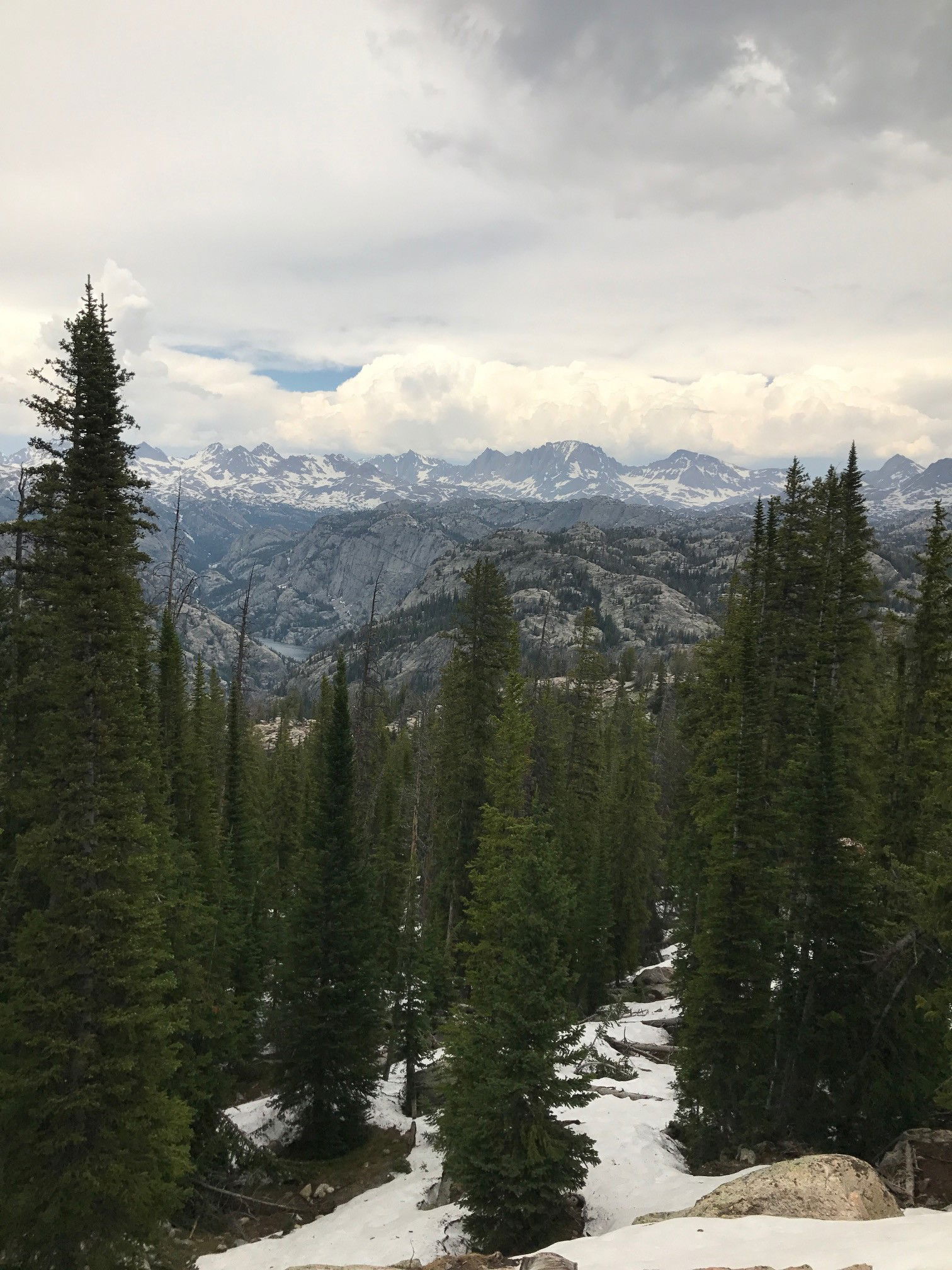 Views
Views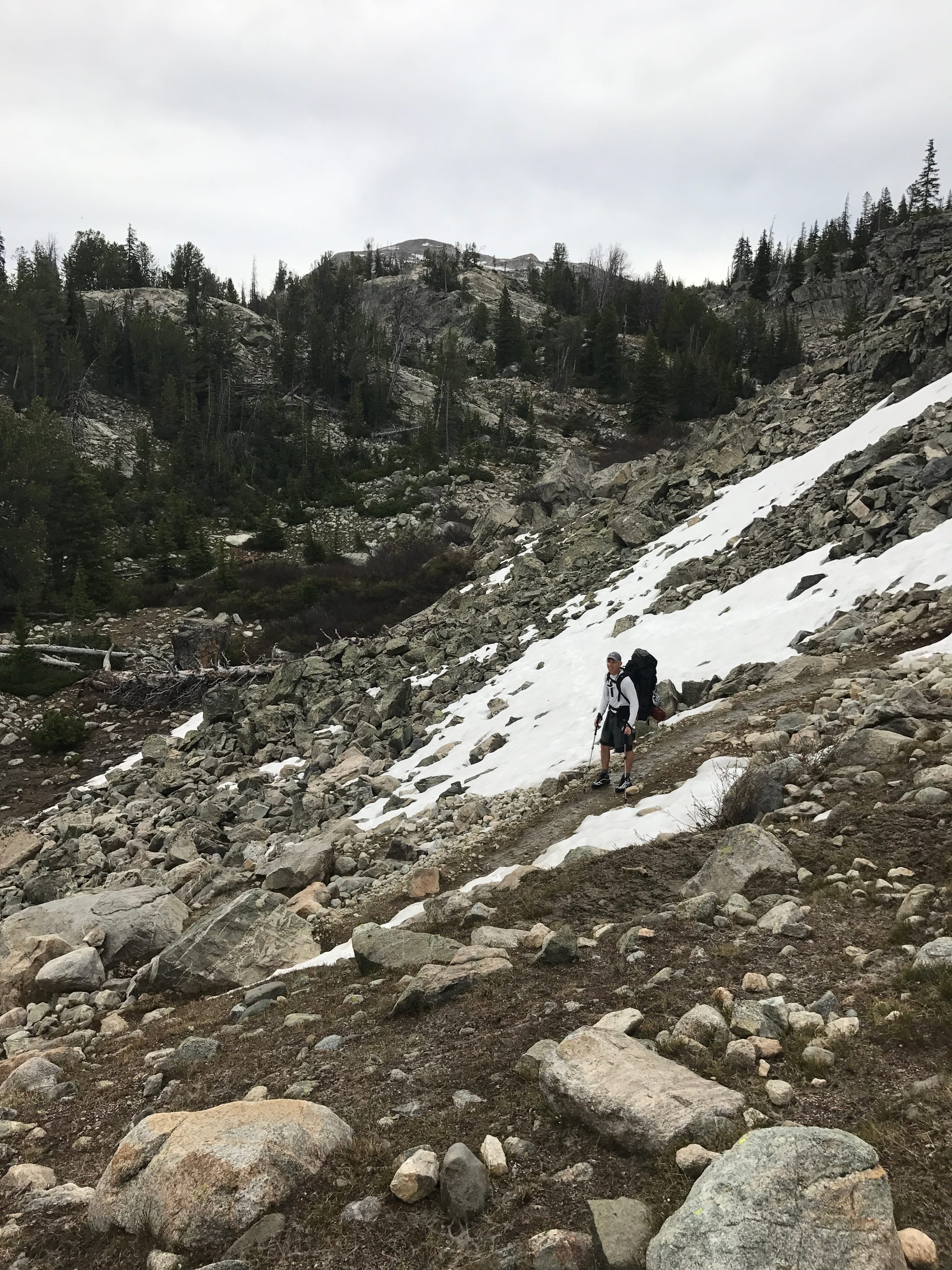 James
James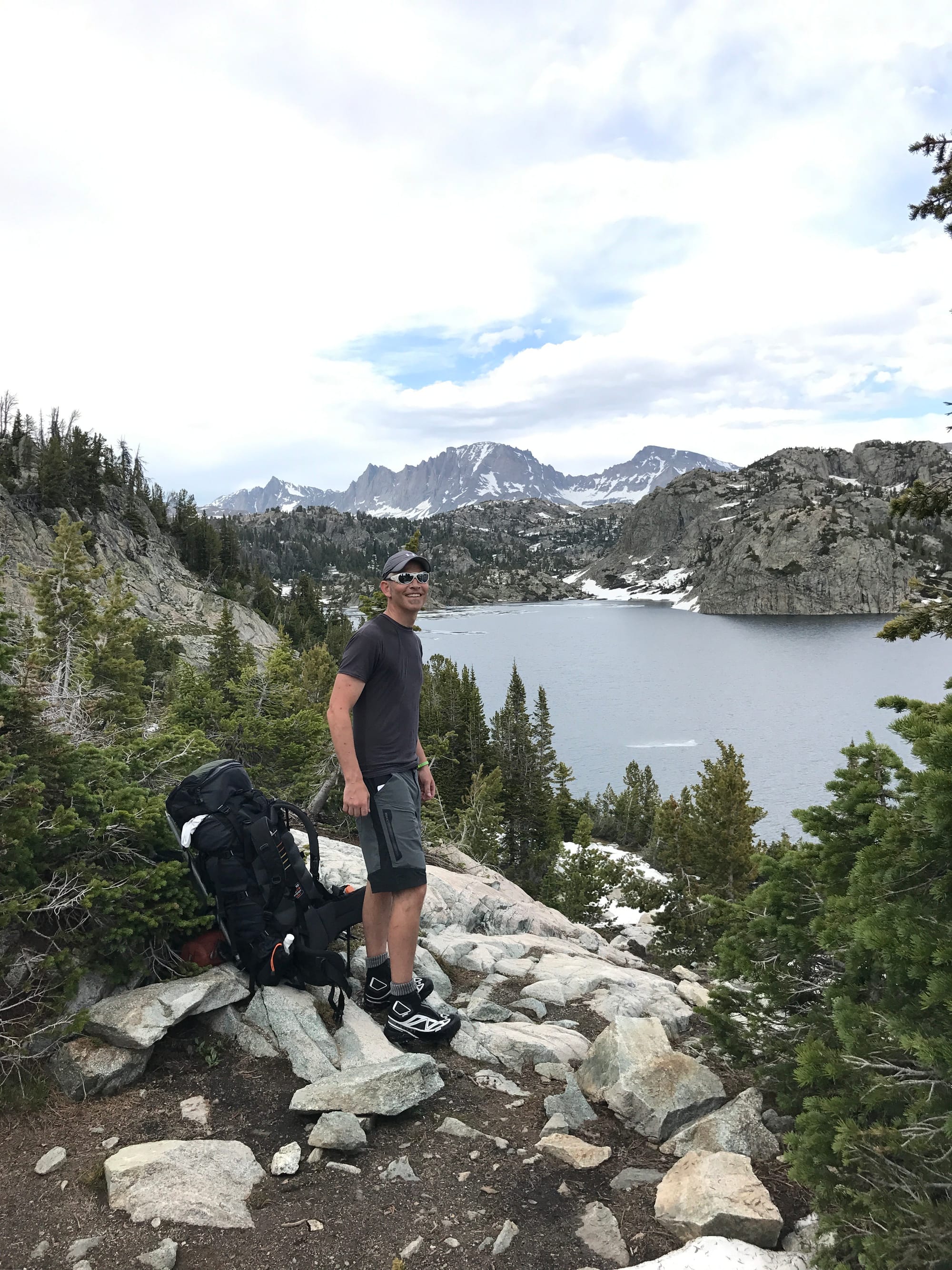 James
James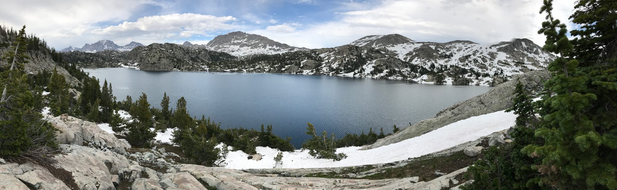 Seneca Lake
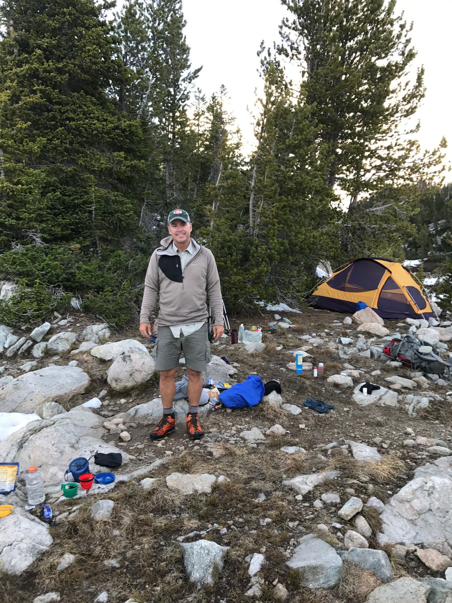 Jeff at camp one.
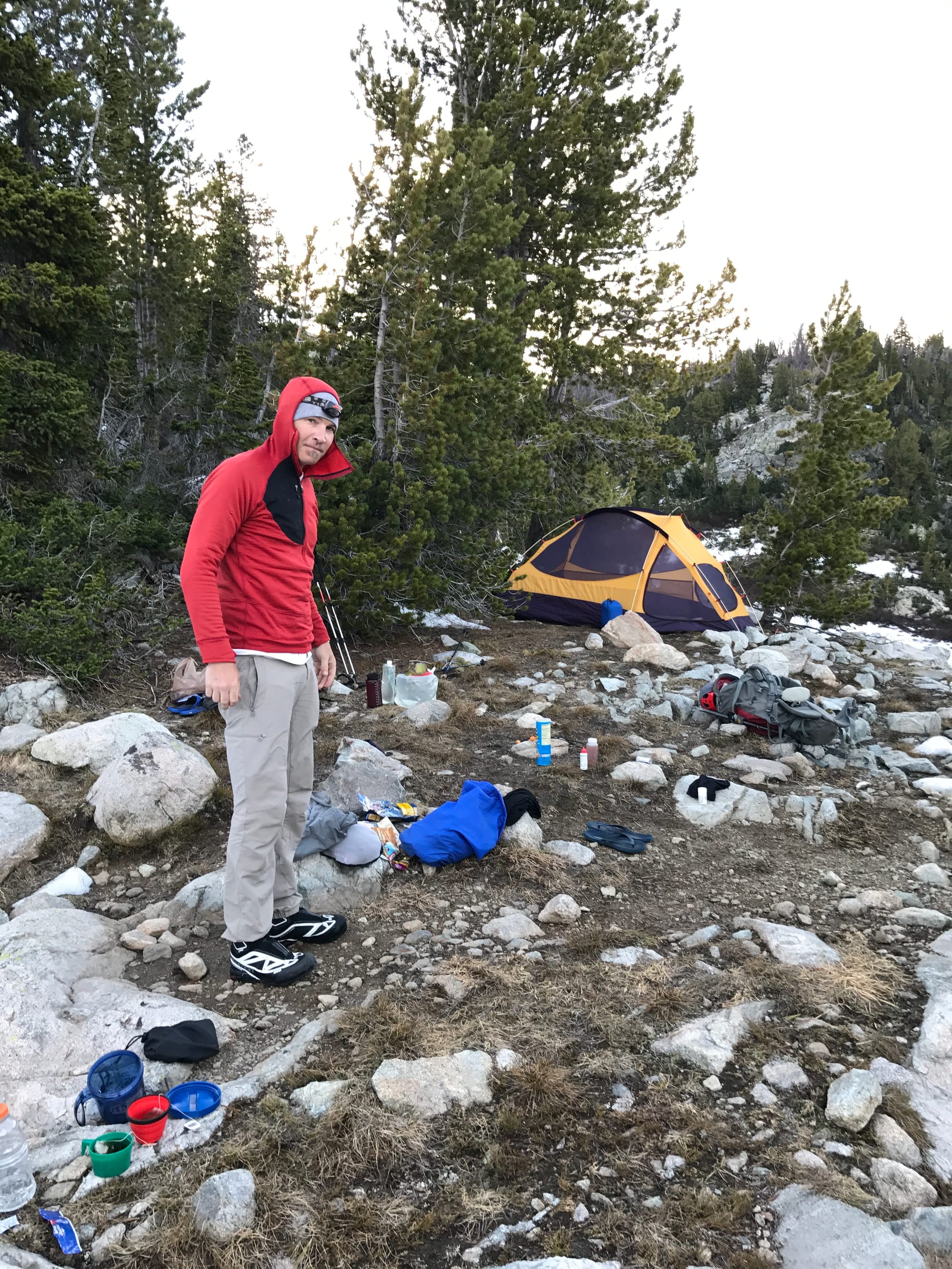 Jame at camp one.
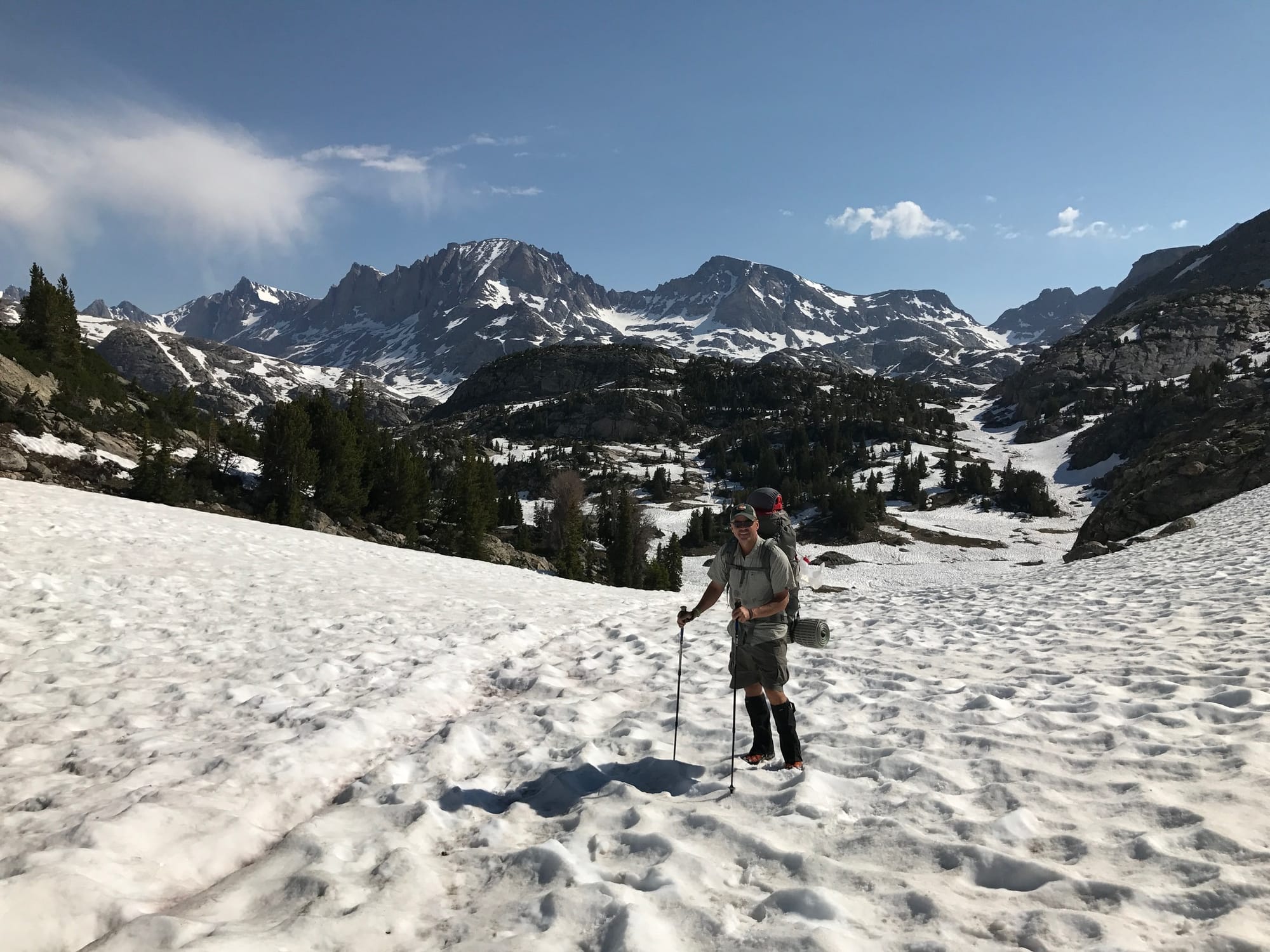 Jeff
Jeff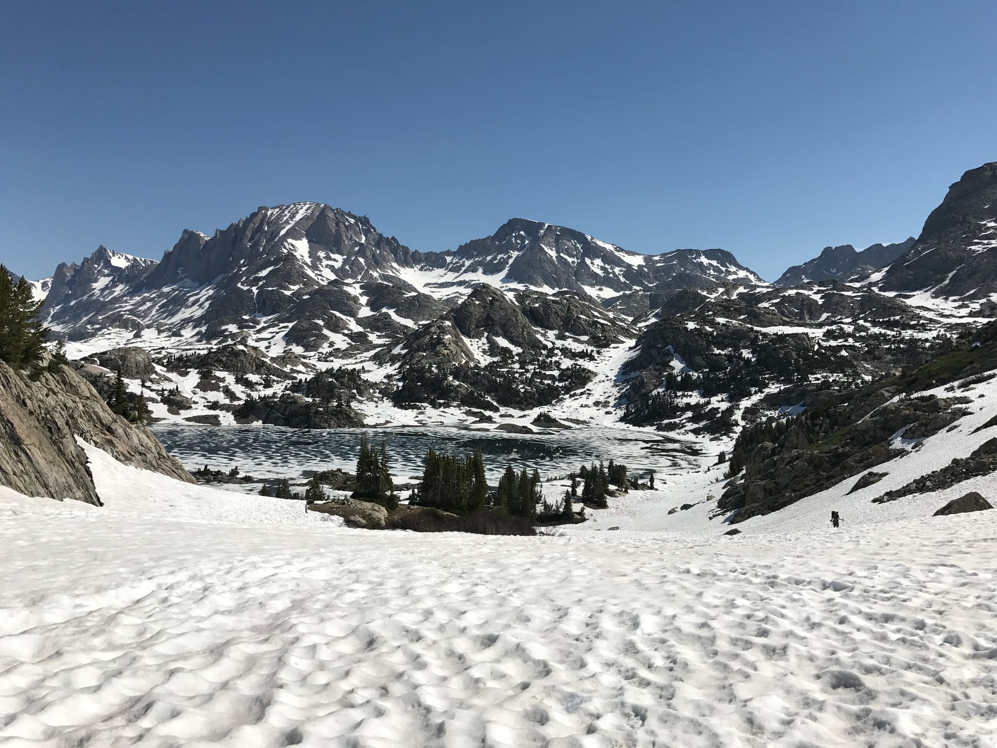 Island Lake
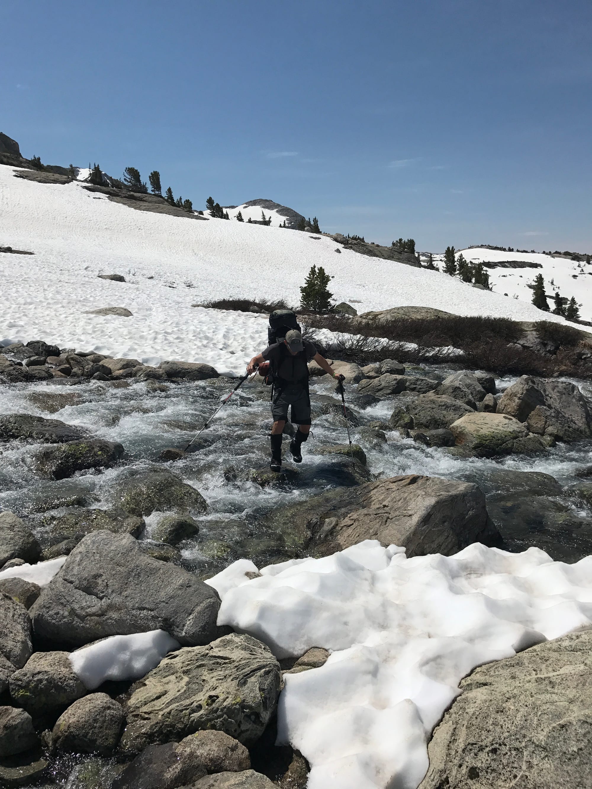 Creek Crossing
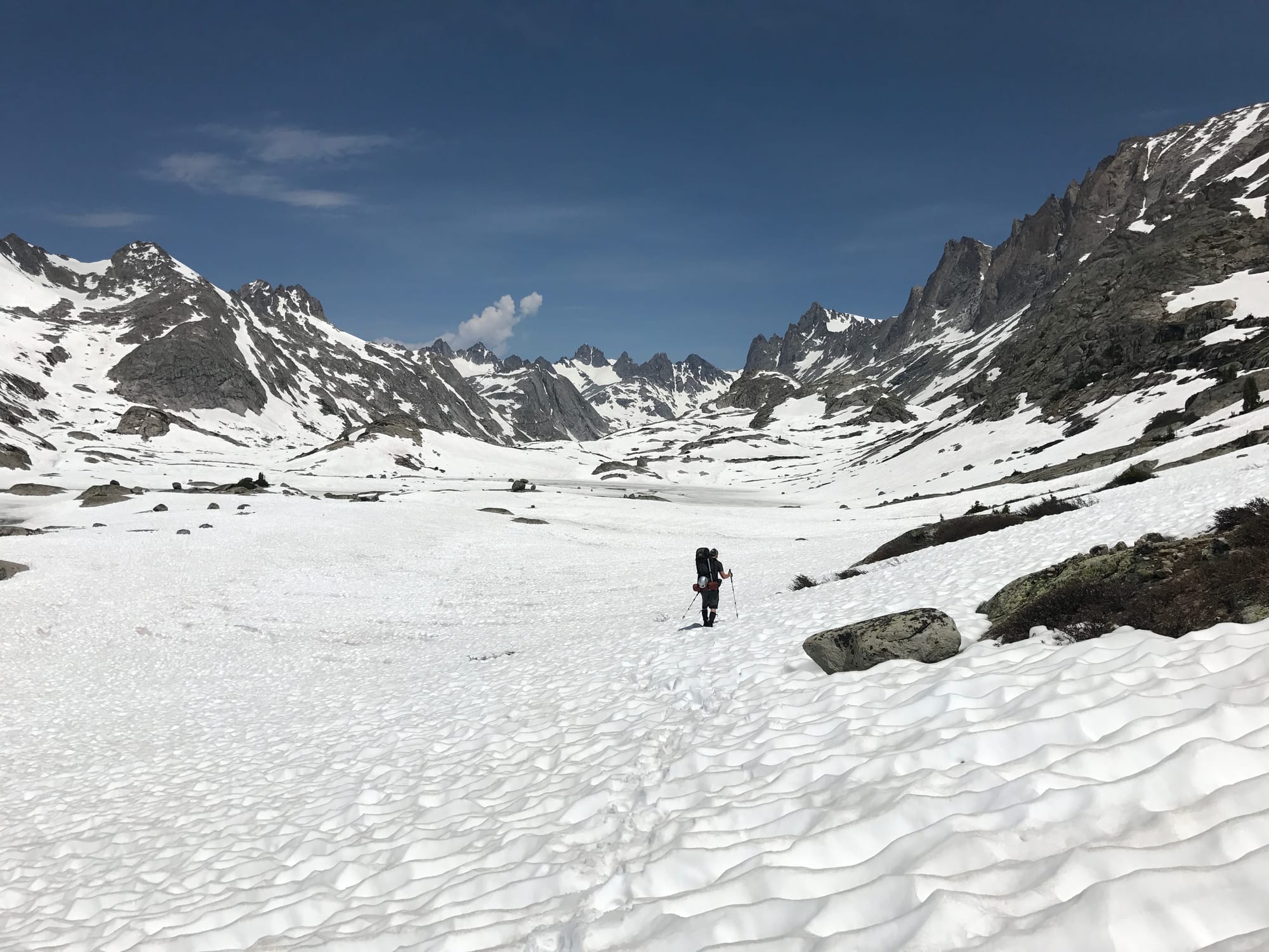 Titcomb Basin
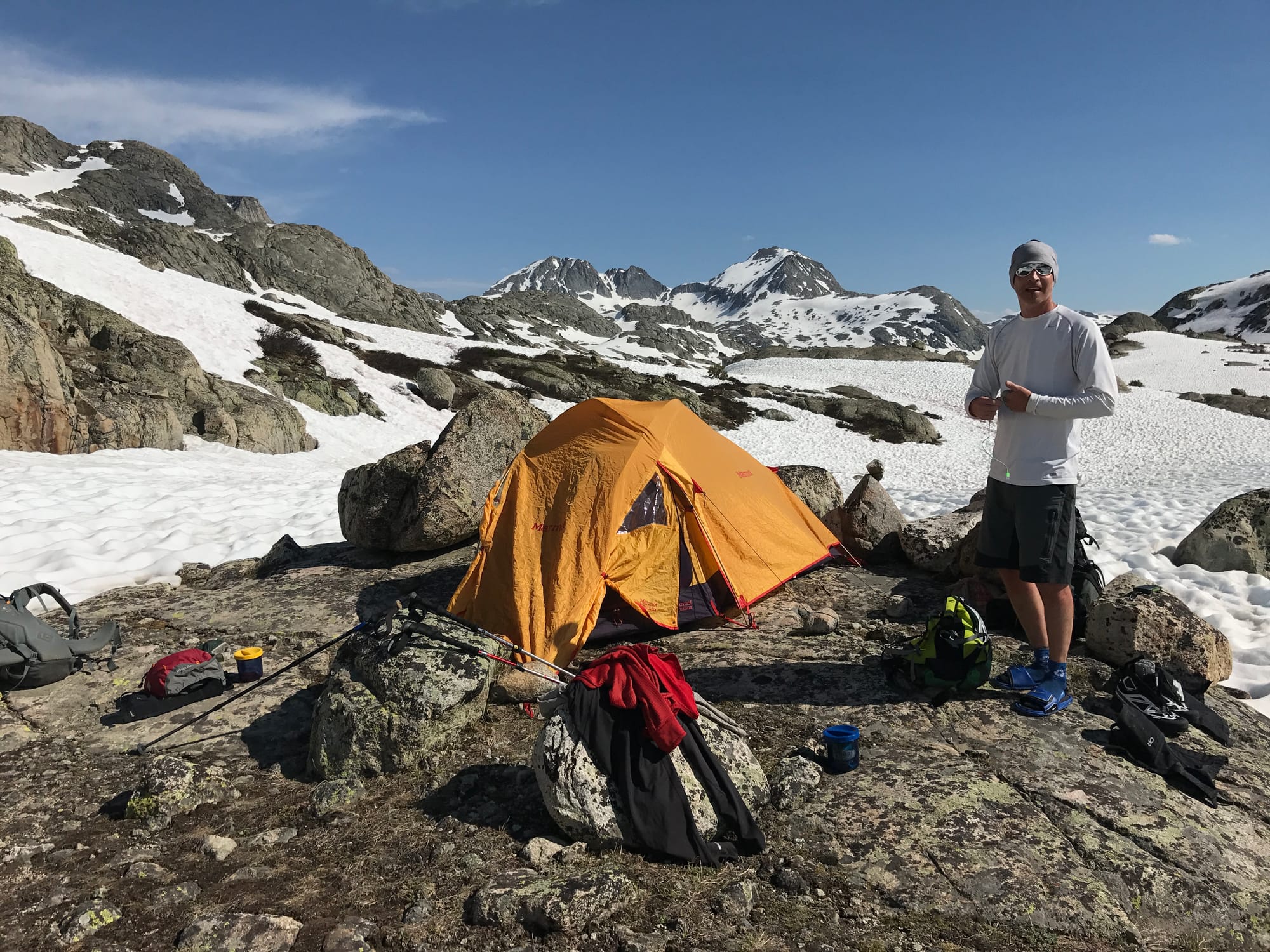 James at camp two.
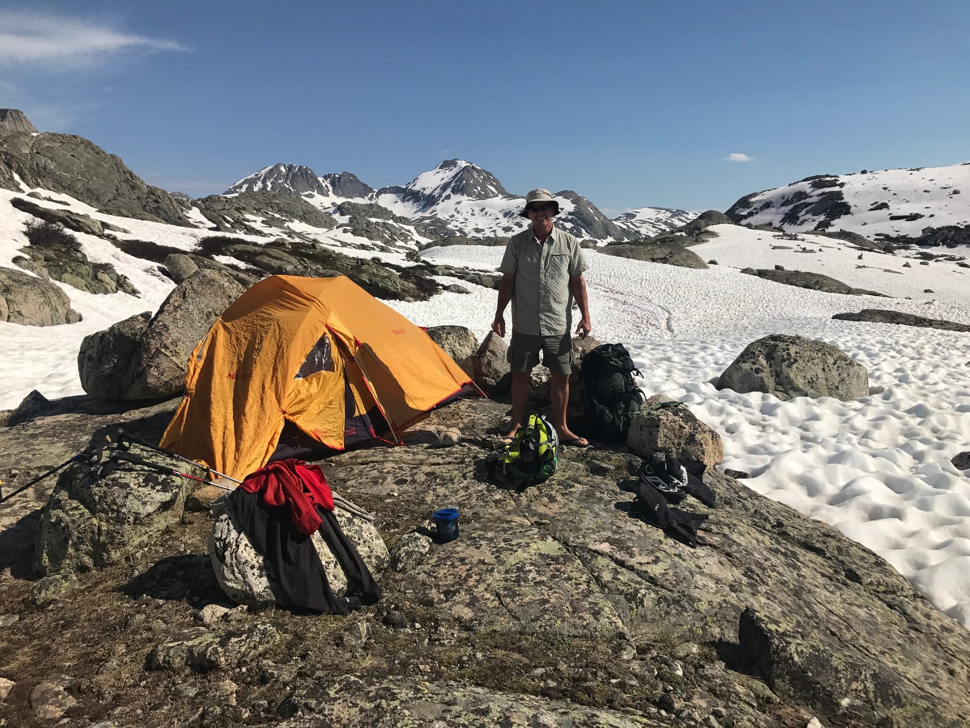 Jeff at camp two.
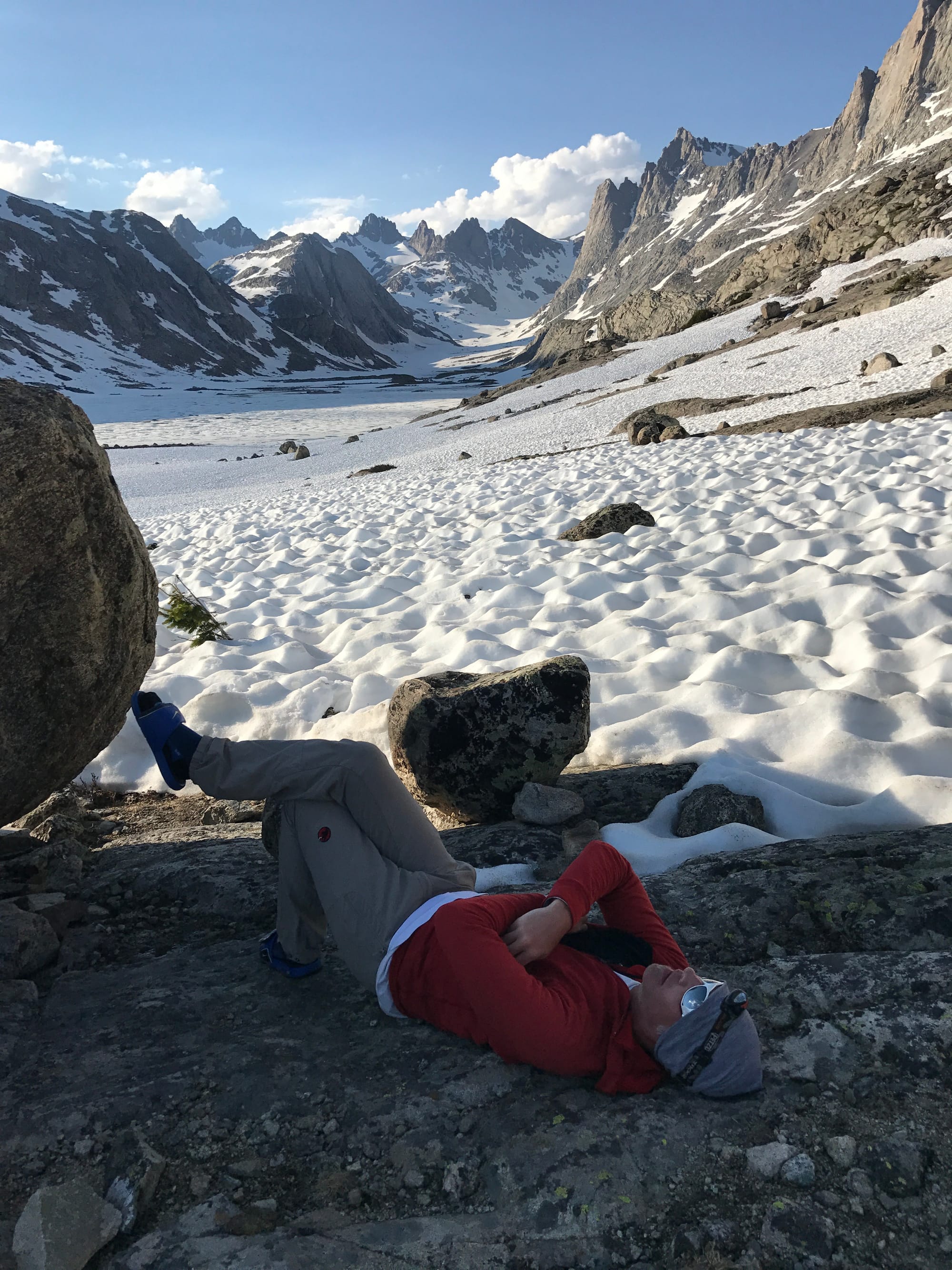 Resting
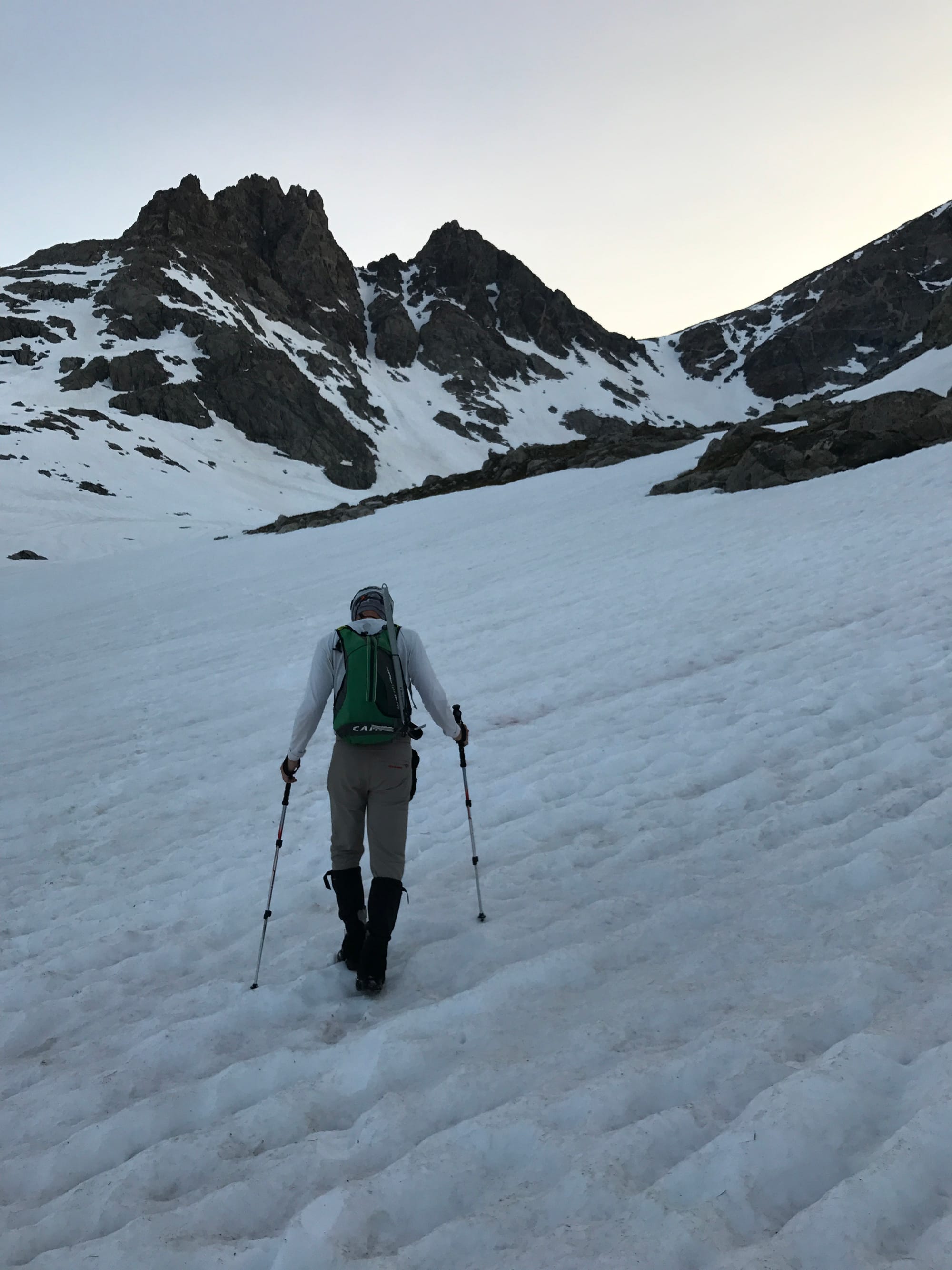 Summit Day
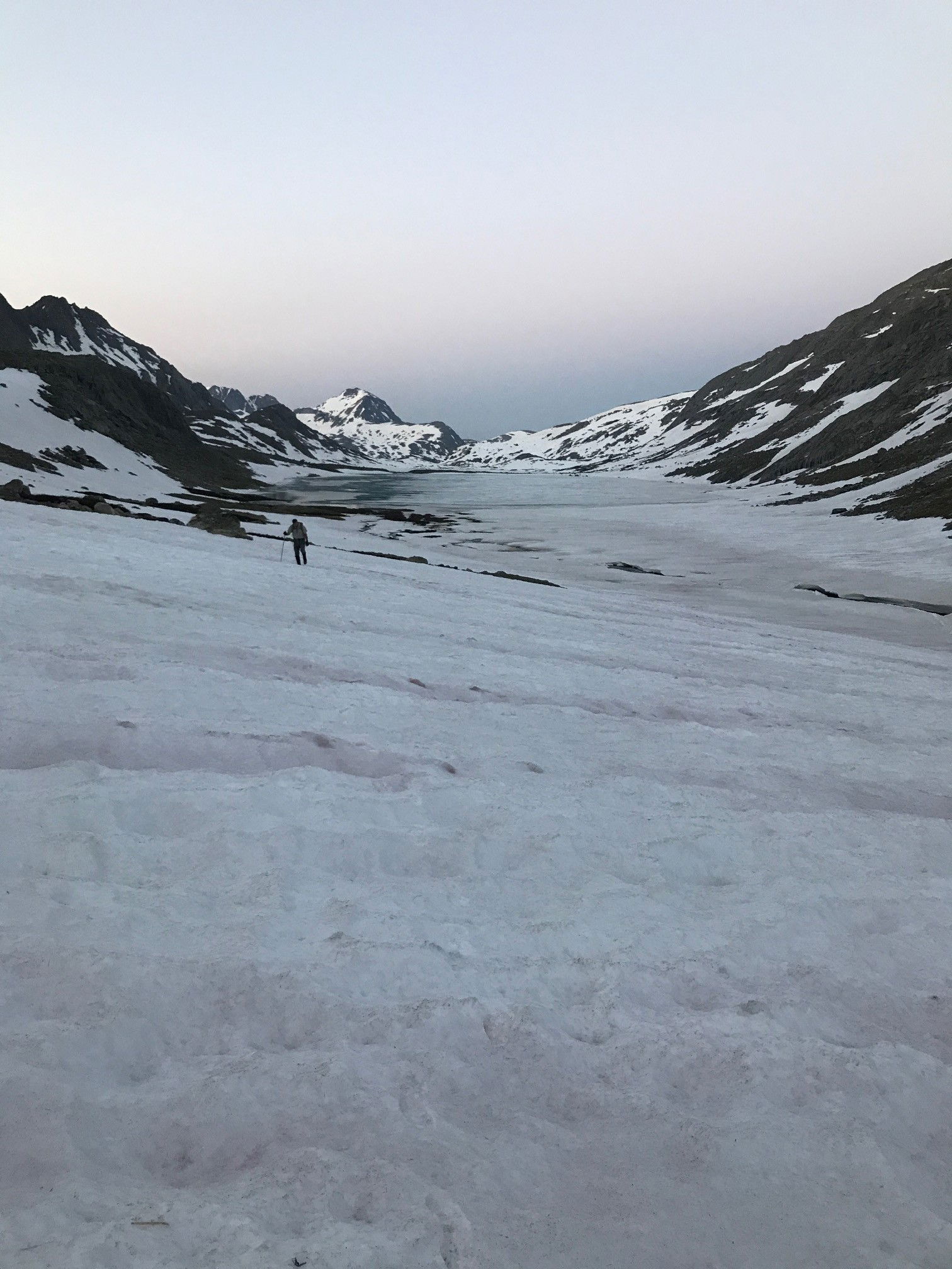 Jeff leaving the Titcomb Basin.
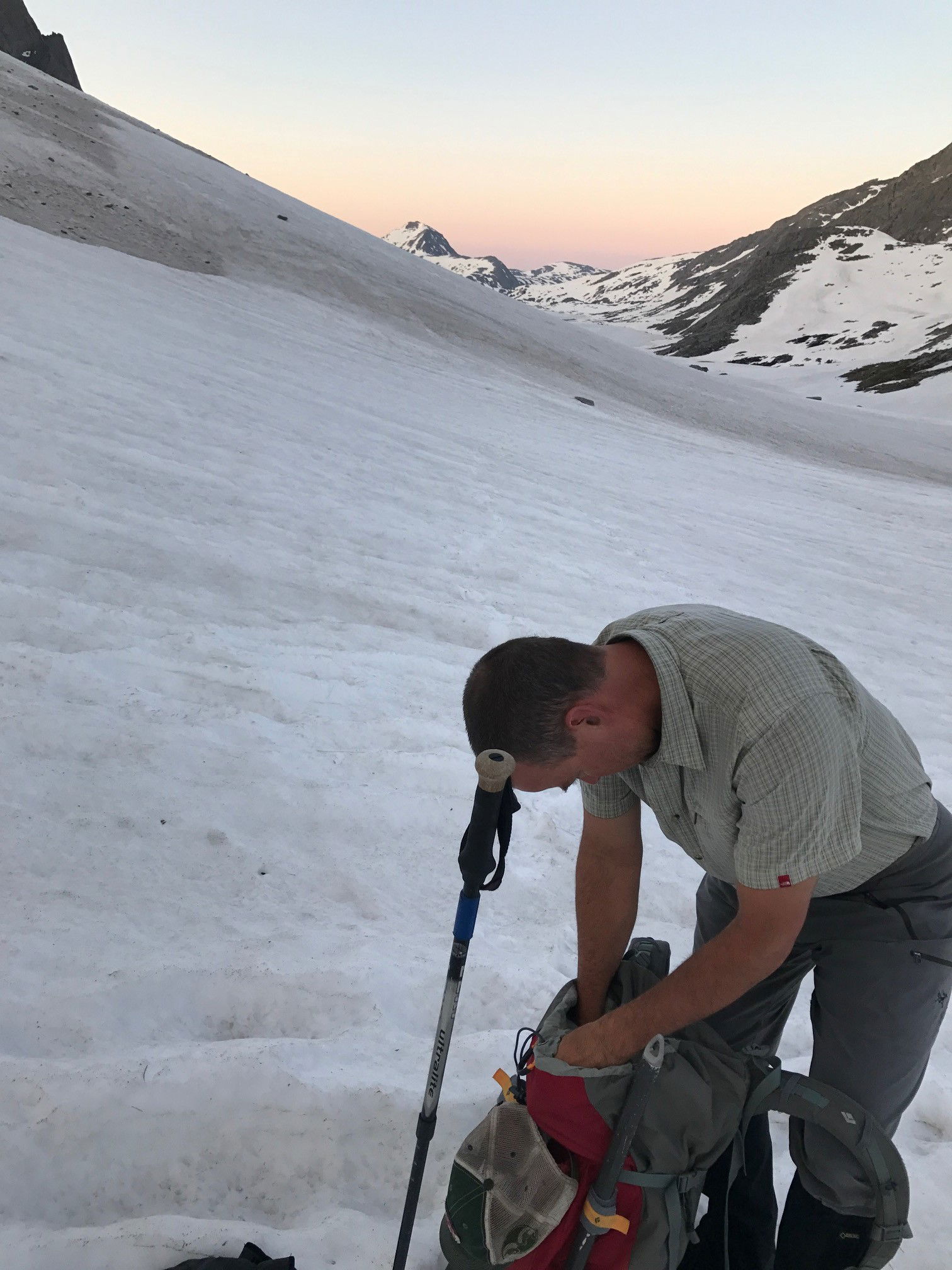 Jeff gearing up at the base of Bonney Pass.
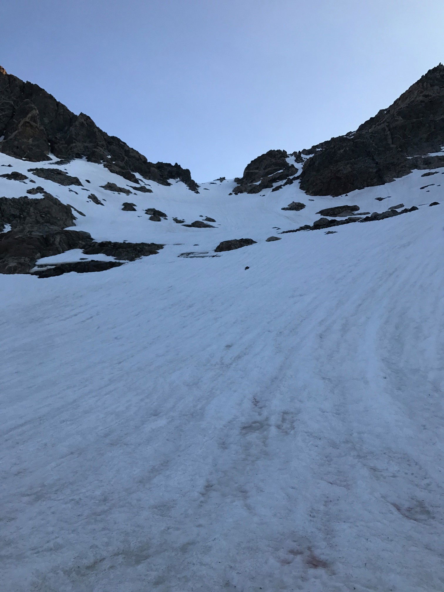 Bonney Pass
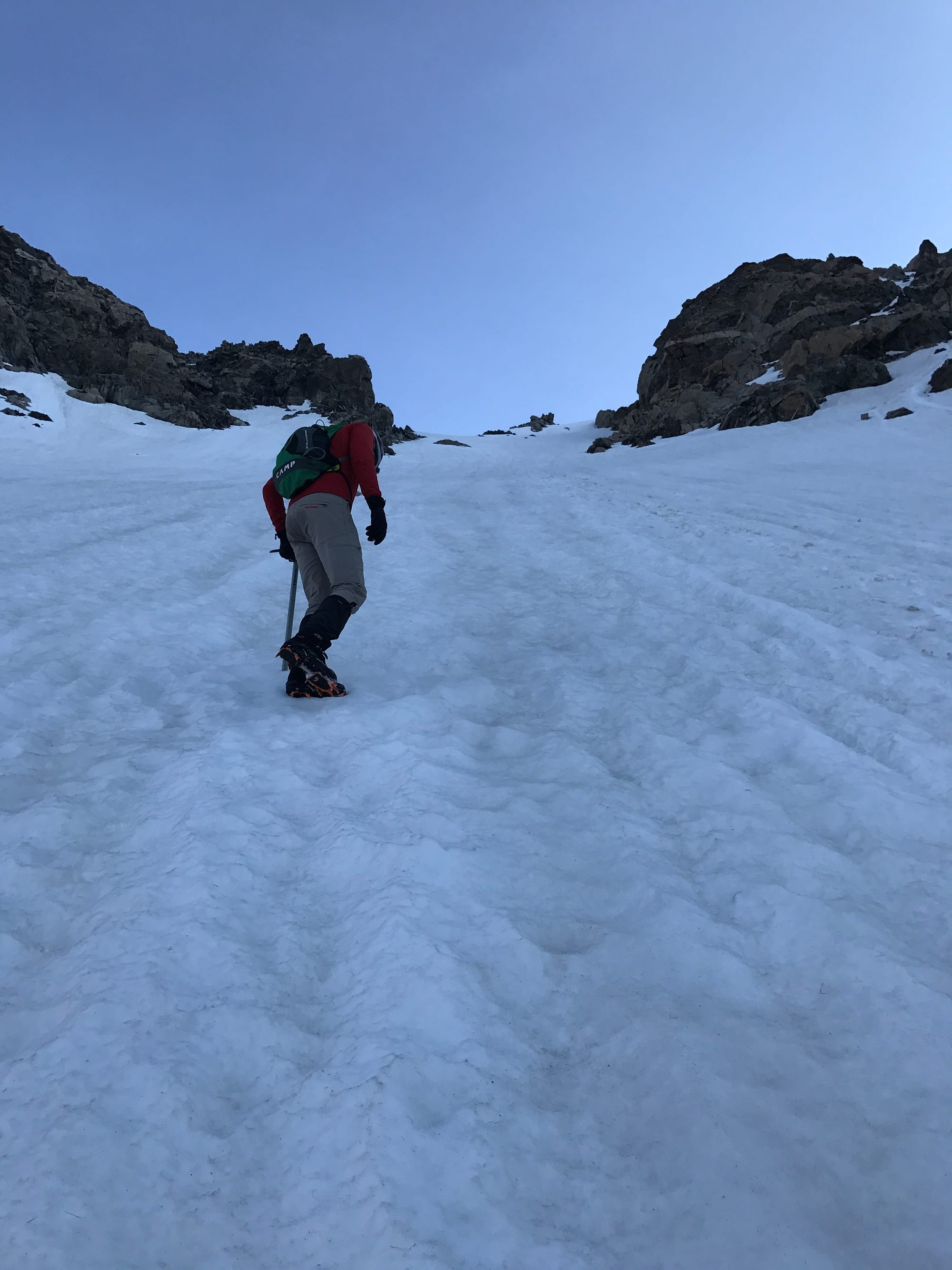 Snow climbing up to Bonney Pass.
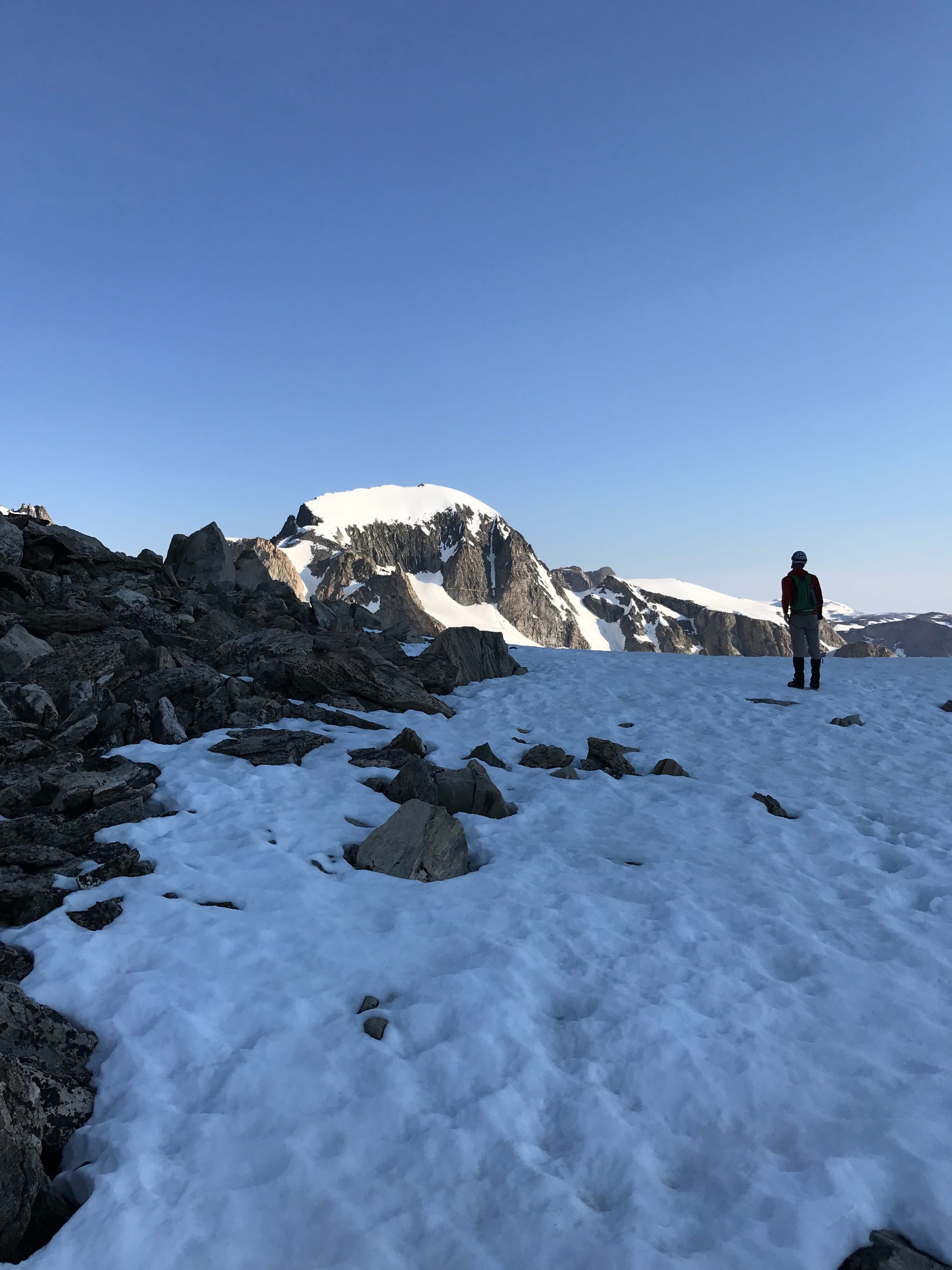 Our first view of Gannett Peak.
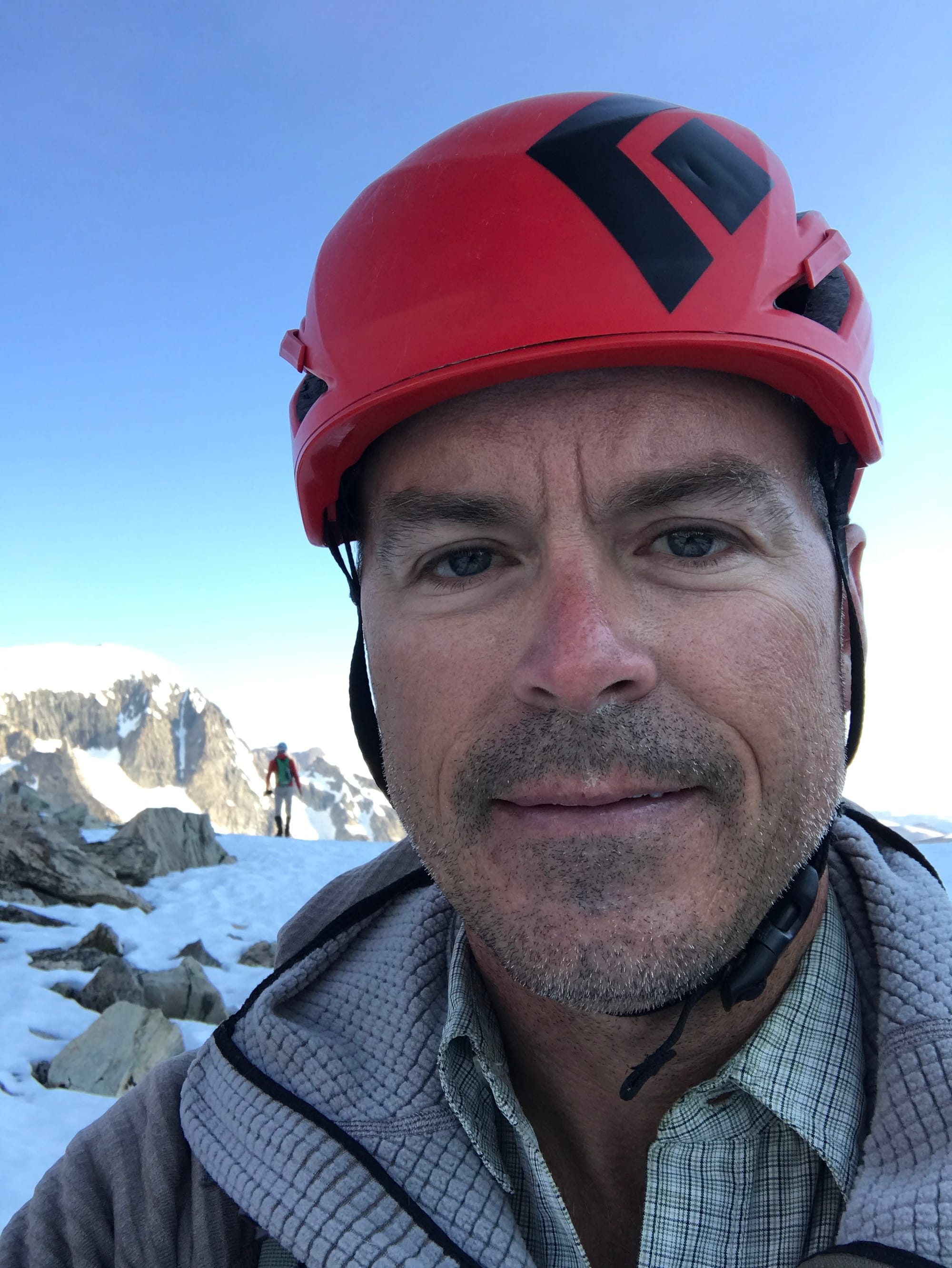 Jeff on Bonney Pass.
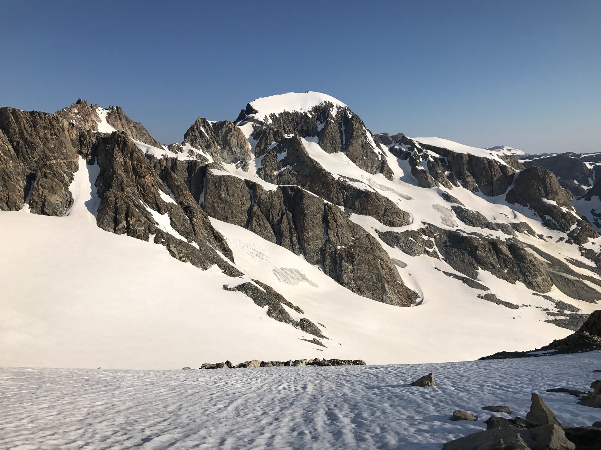 Gannett Peak
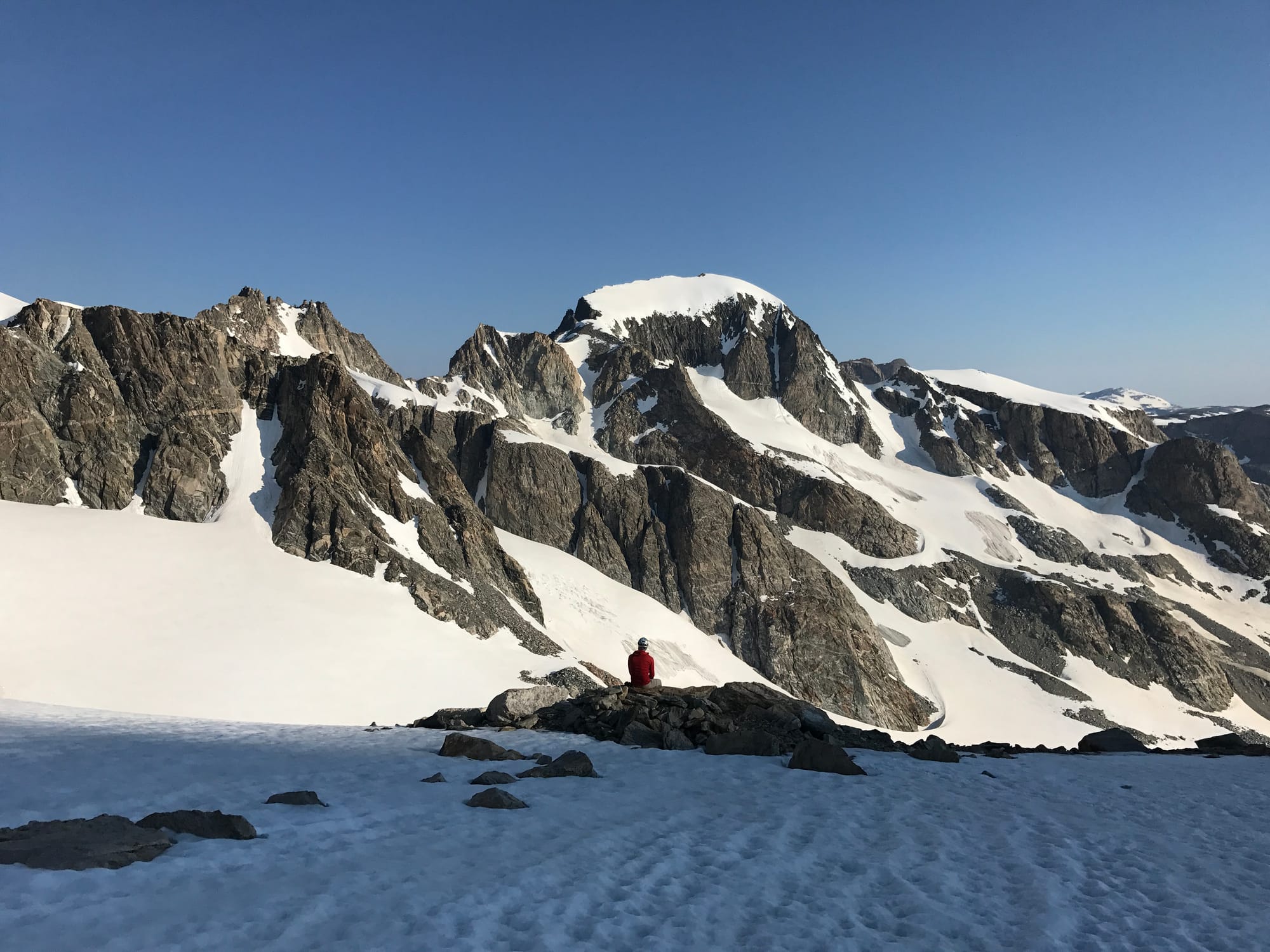 James catching some sun and soaking in the Wind River Range.
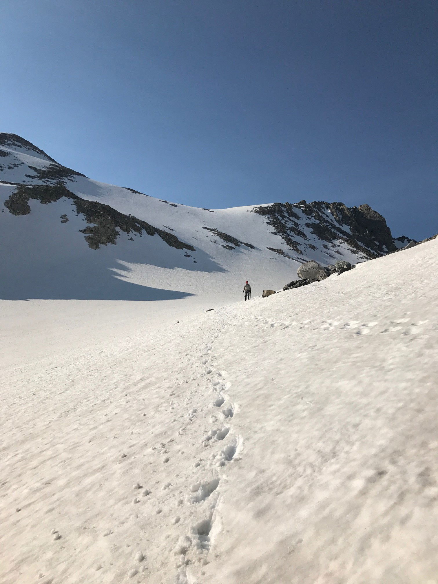 Jeff descending off of Bonney Pass.
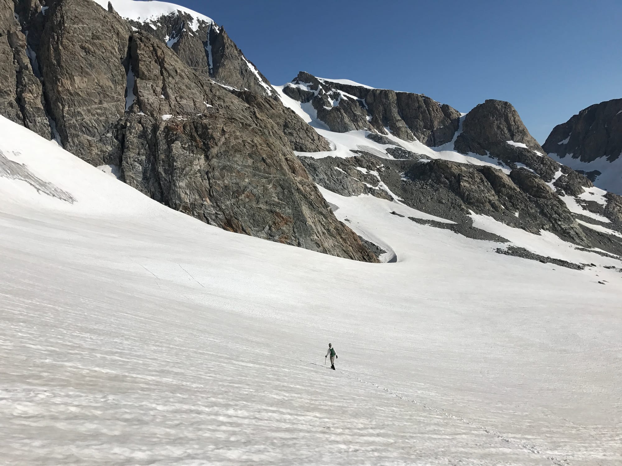 James making his way across the glacier.
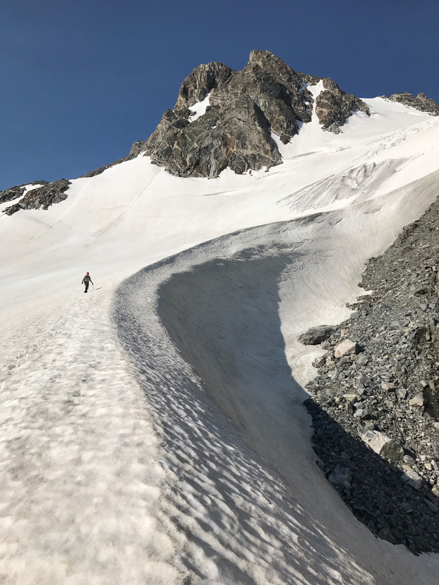 Jeff near a moat.
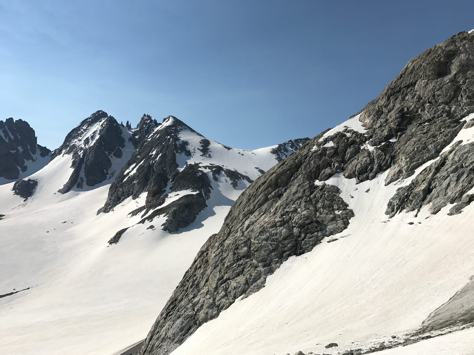 Bonney Pass after we had gained some elevation back.
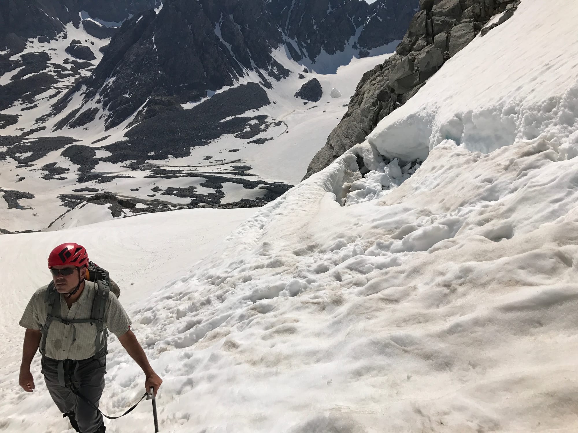 Jeff
Jeff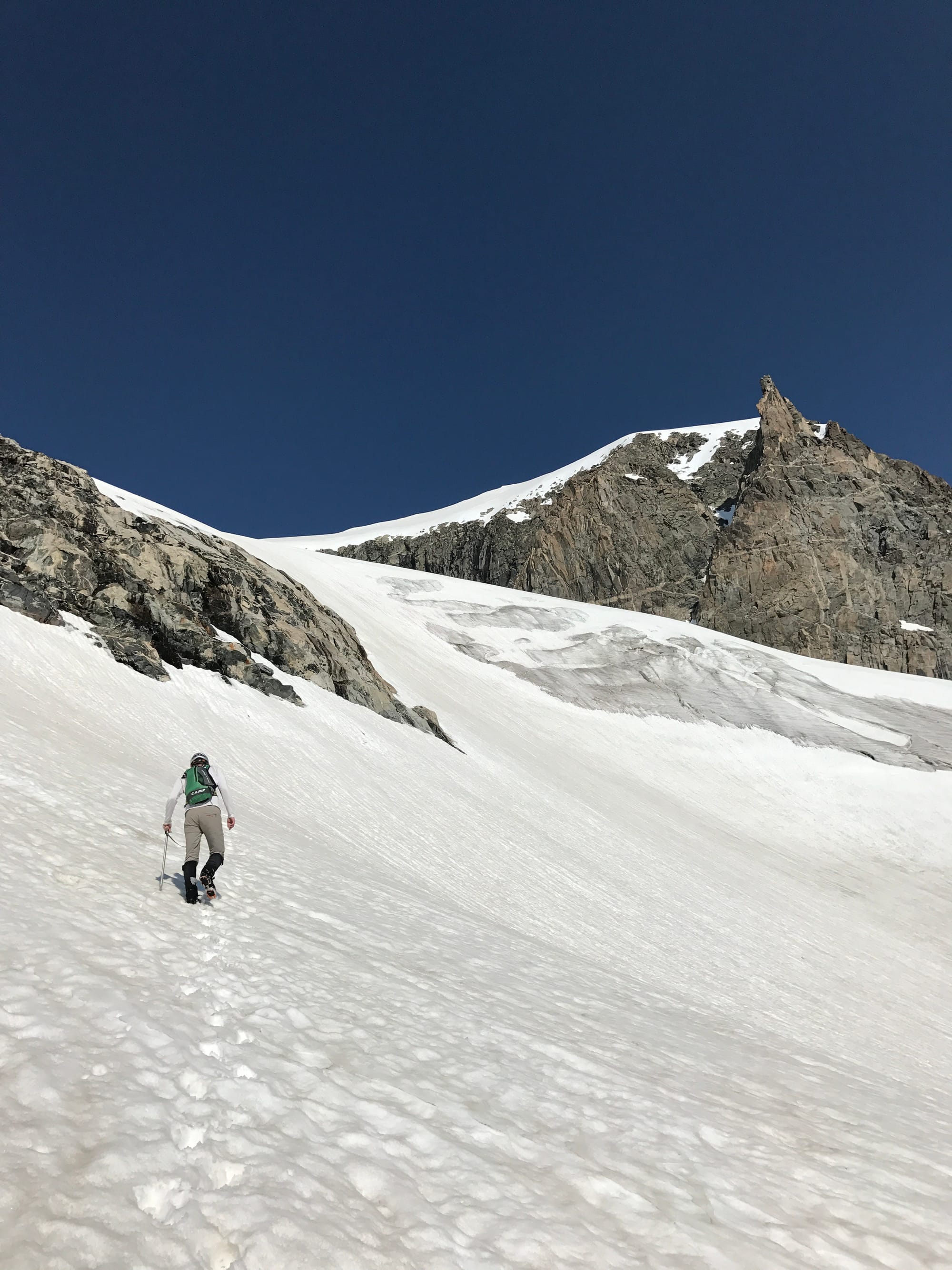 James
James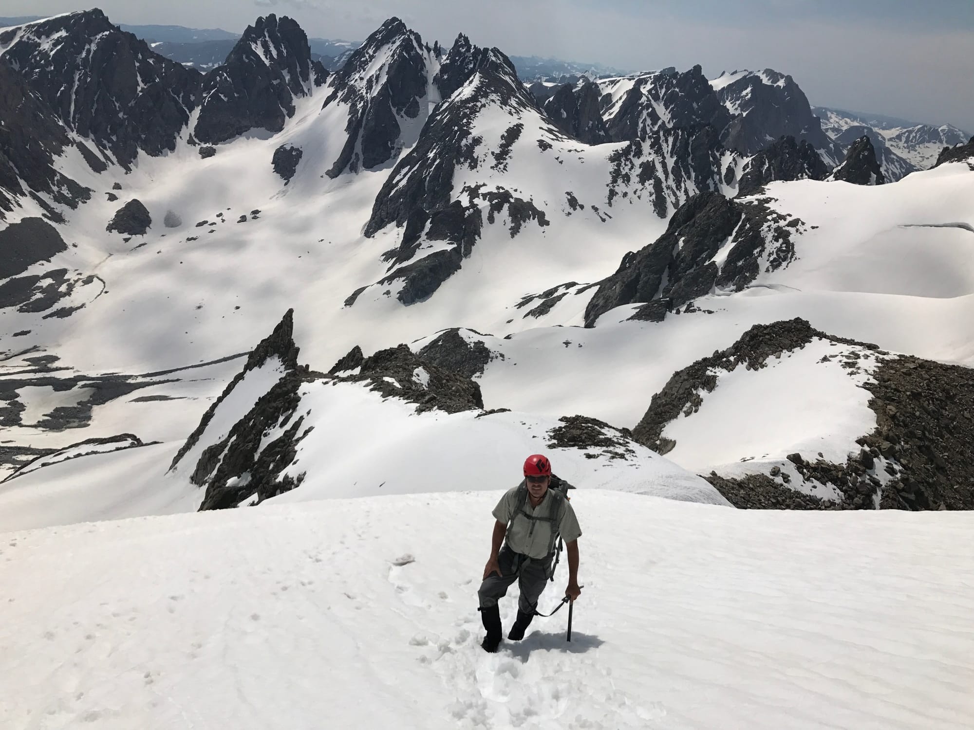 Views
Views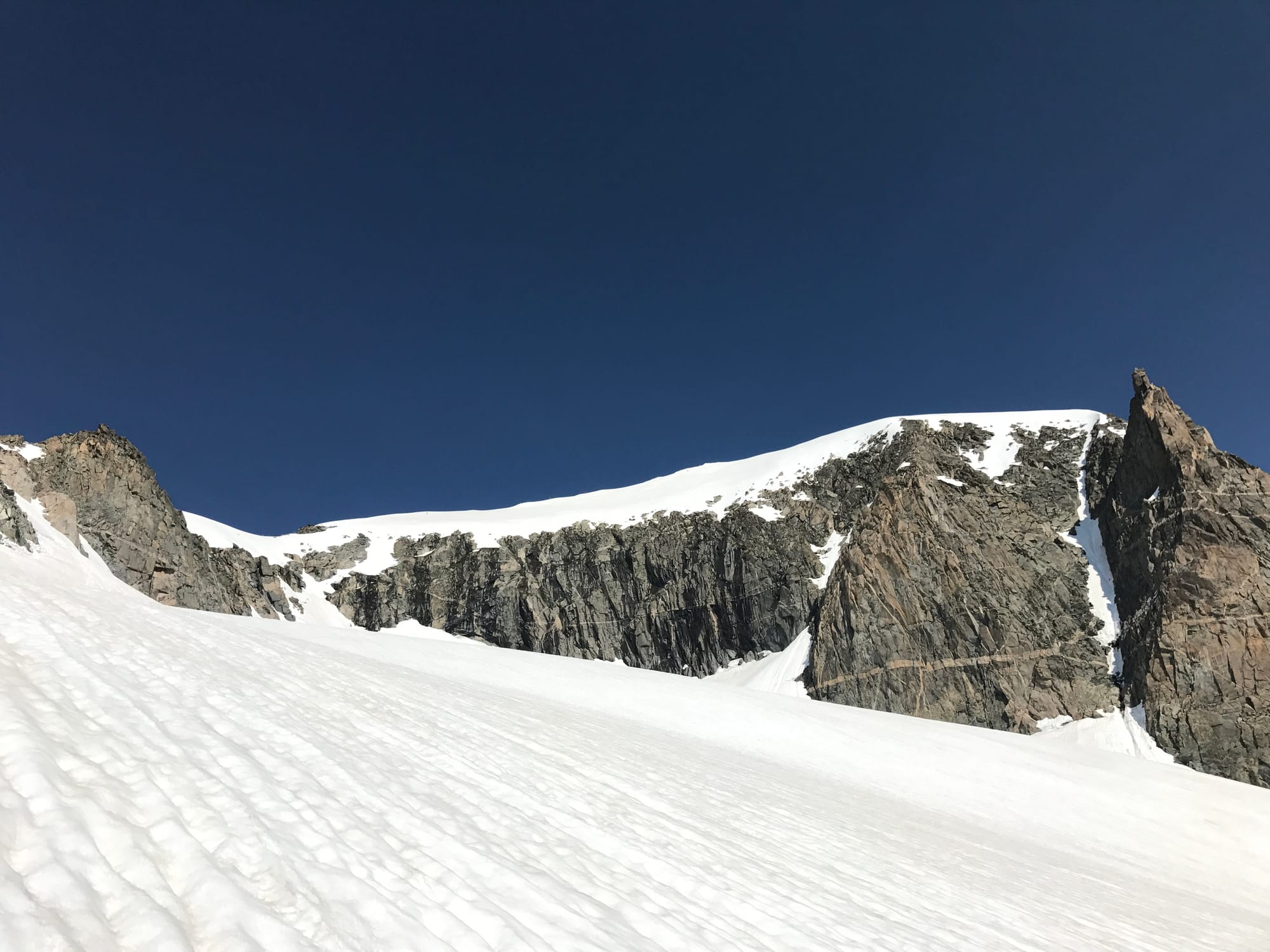 Summit Ridge
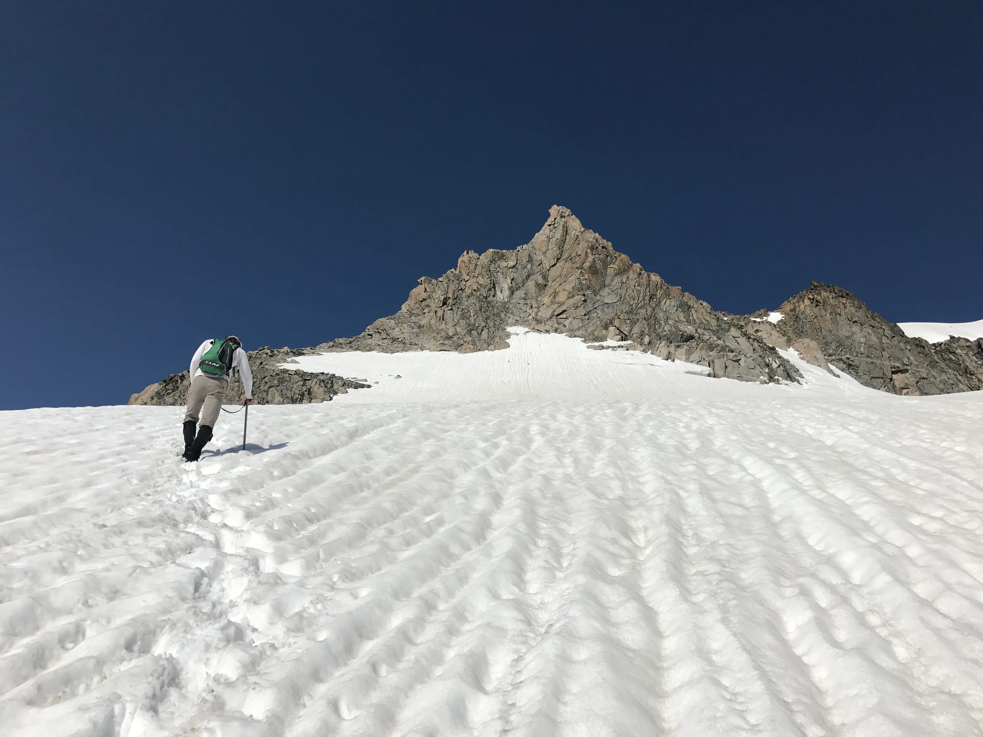 James
James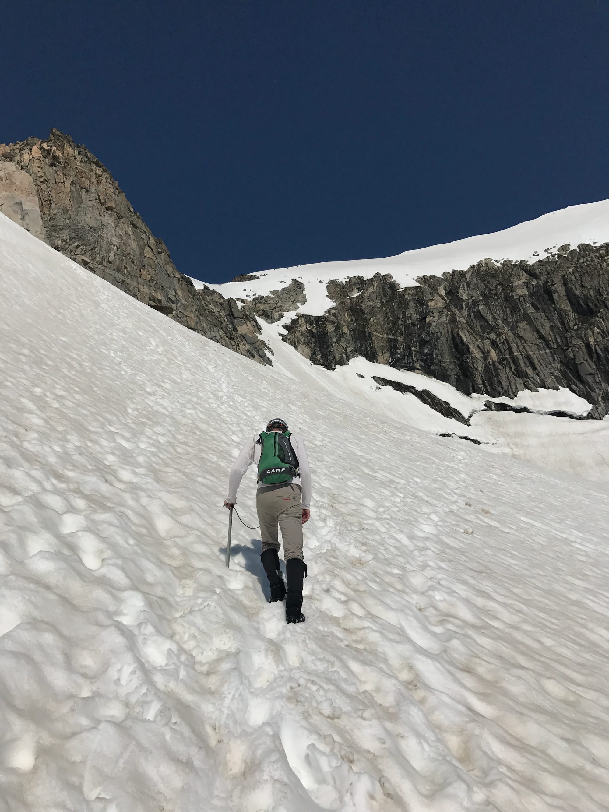 James
James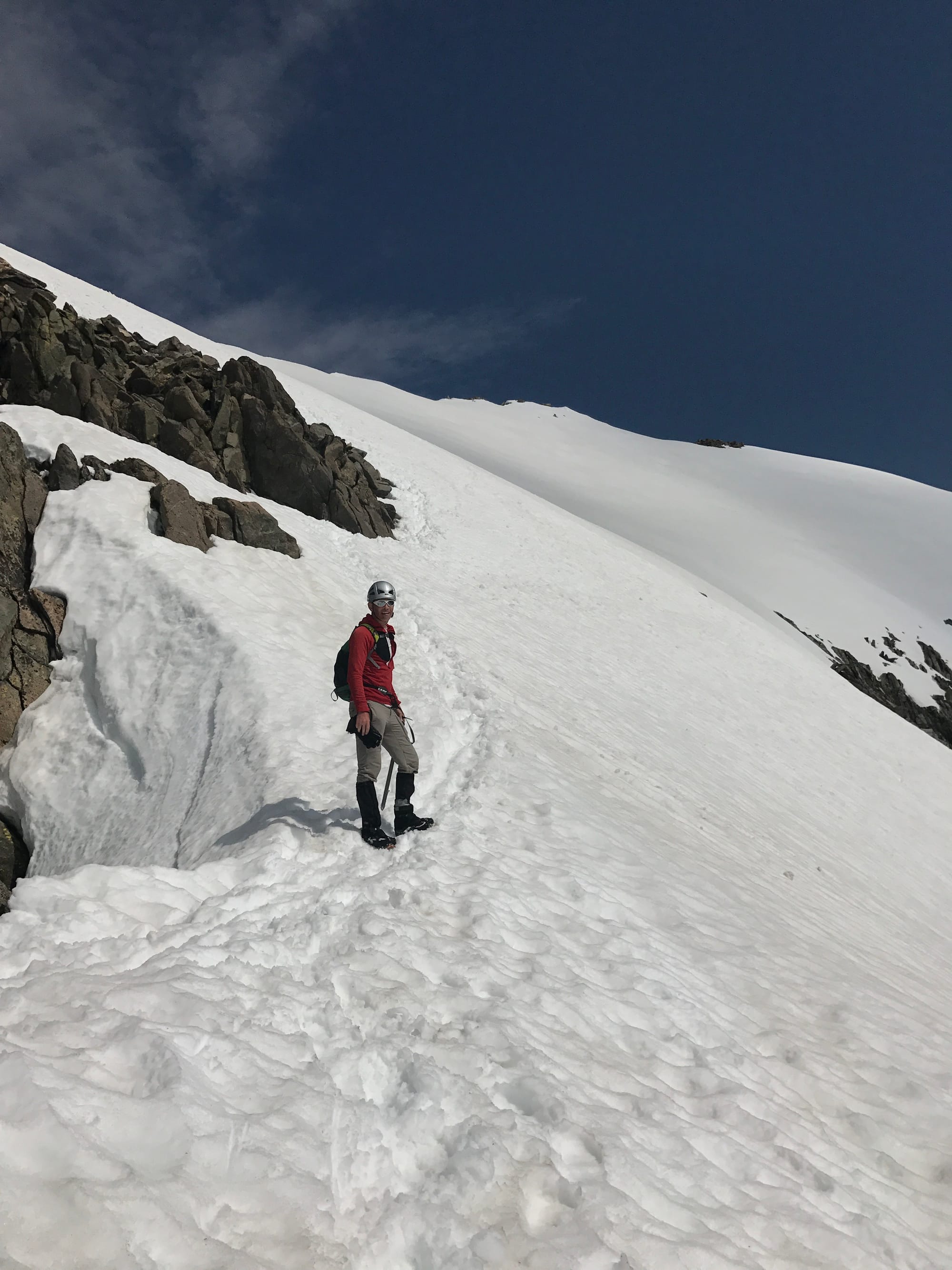 James nearing the final ridge to the summit.
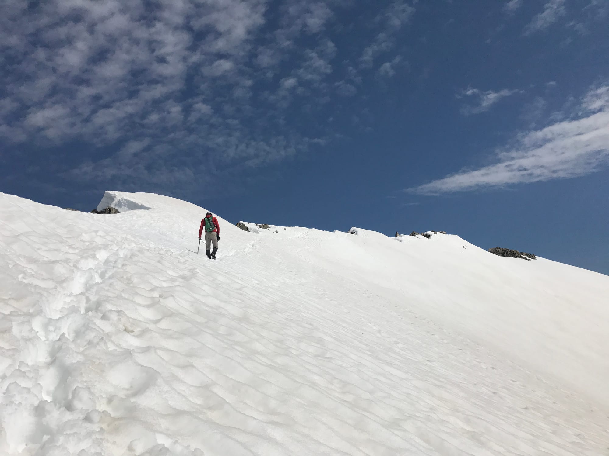 Summit Ridge
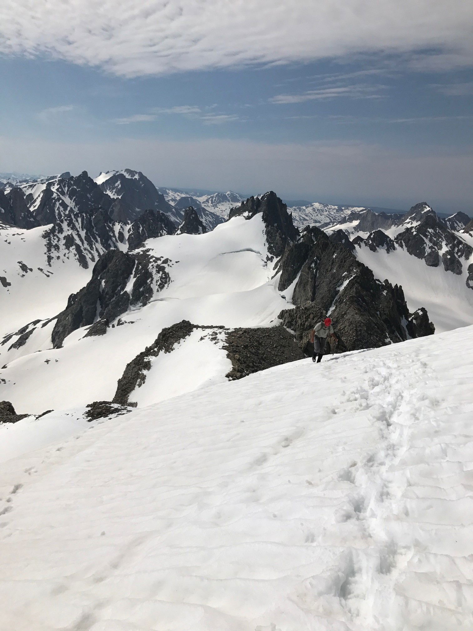 Jeff on the final ridge to the summit.
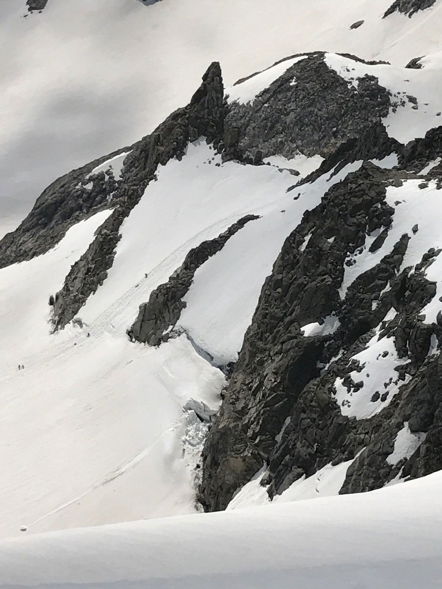 Climbers negotiating the bergshrund.
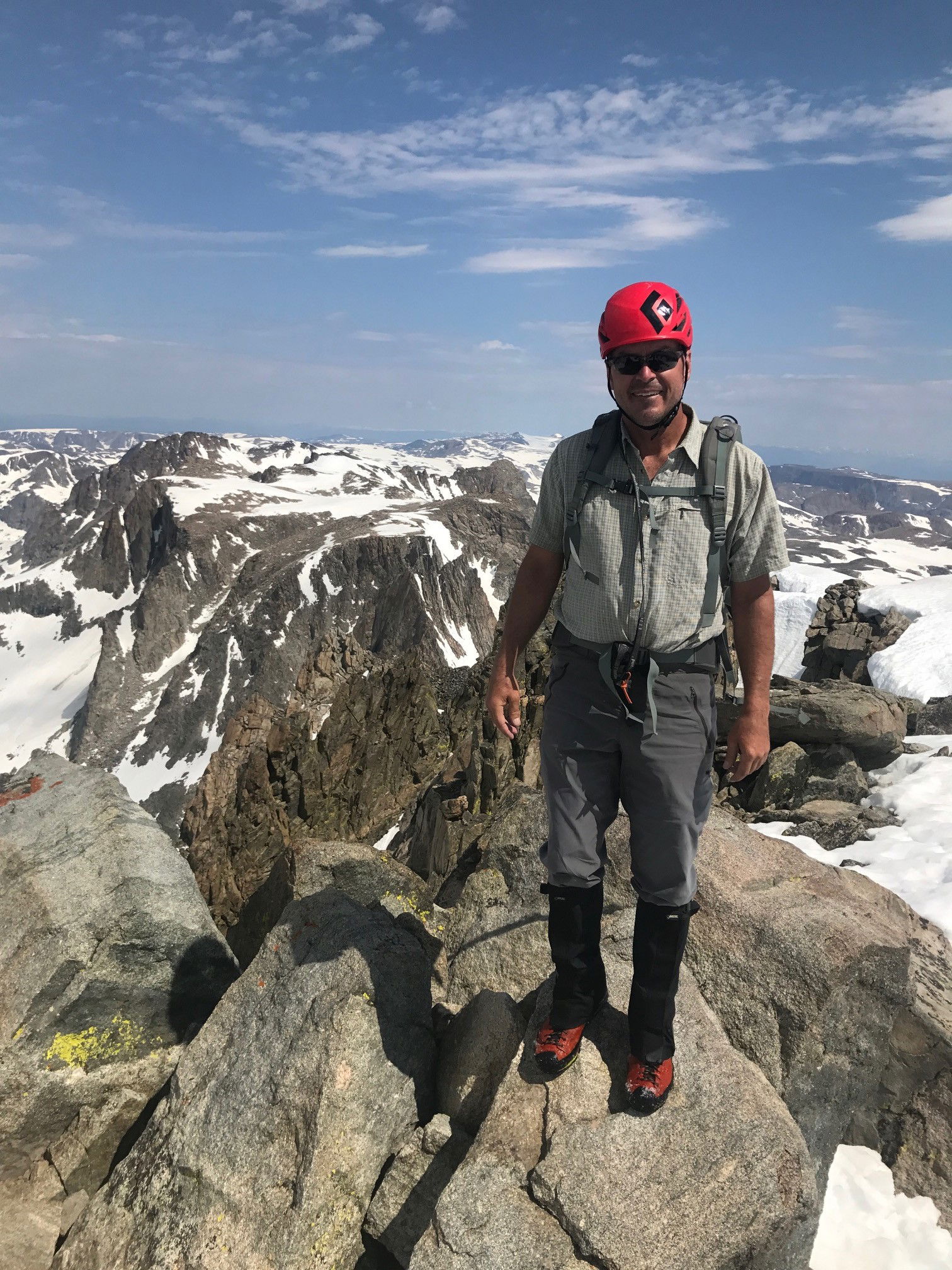 Jeff on the summit of Gannett Peak.
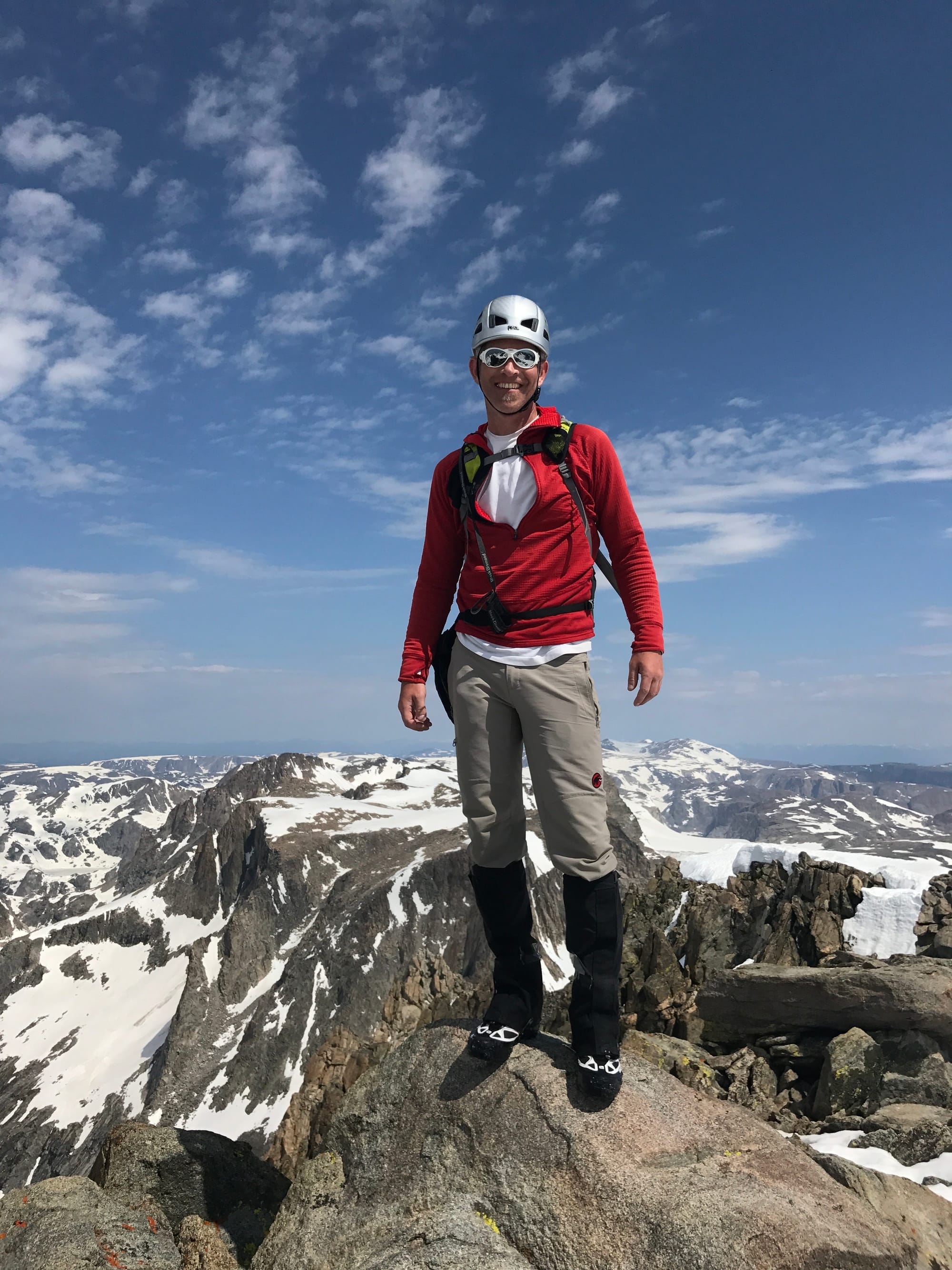 Summit Photo
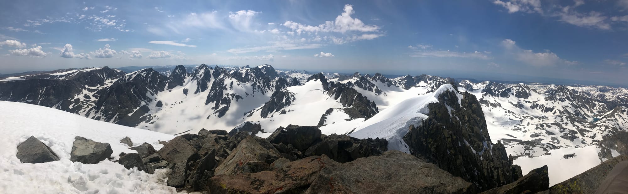 Views
Views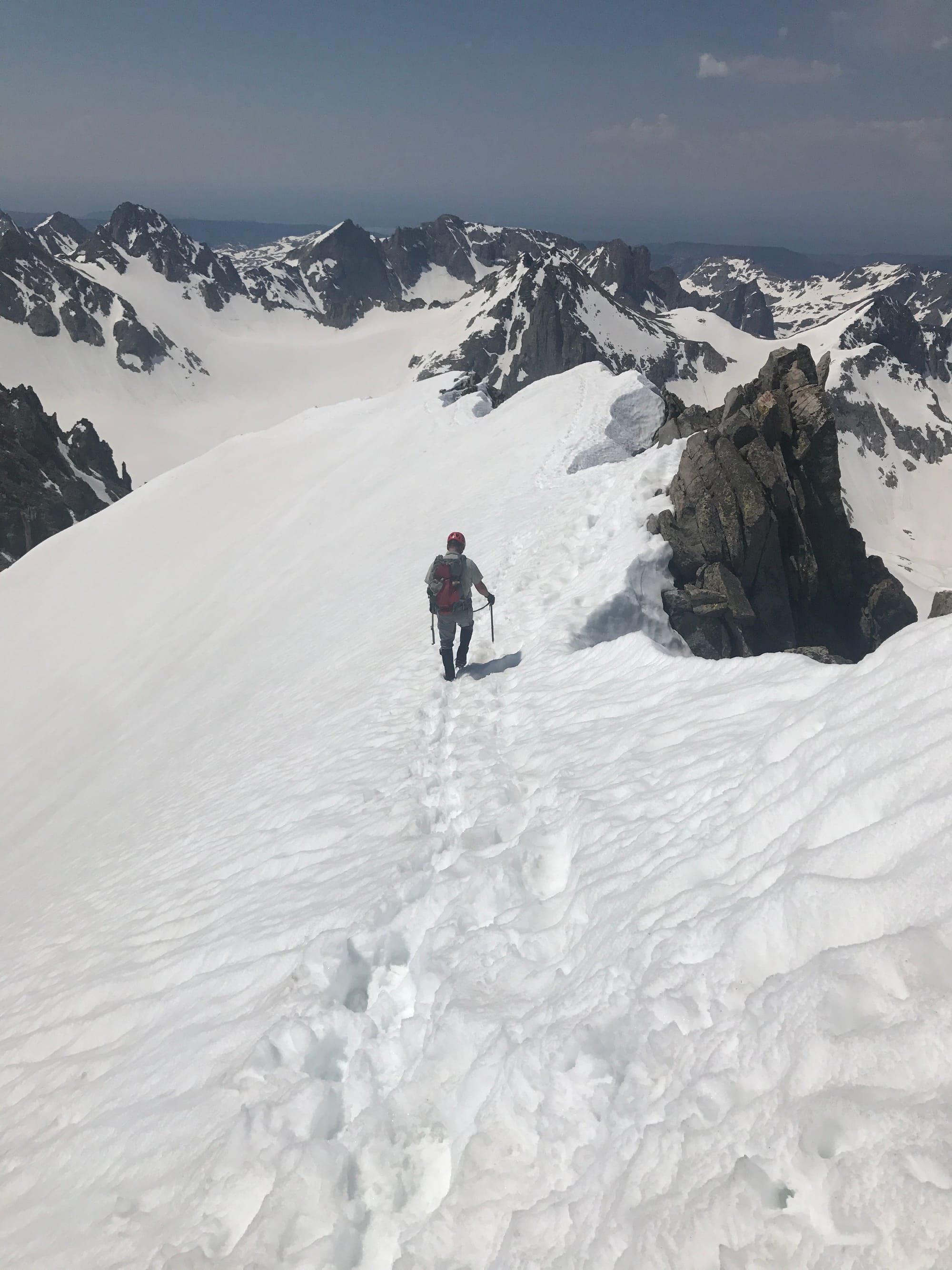 Jeff heading back down.
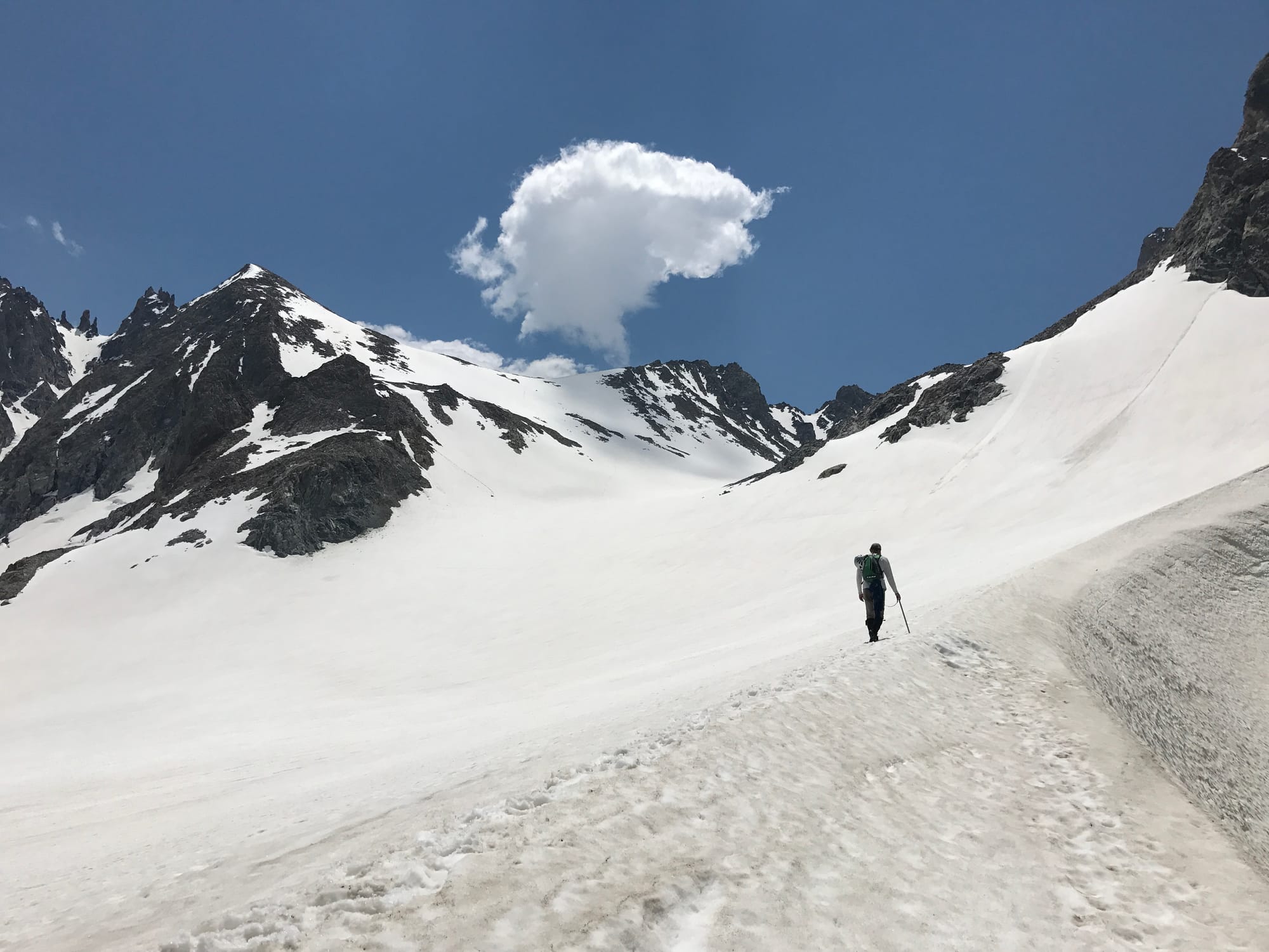 James starting the ascent back up Bonney Pass.
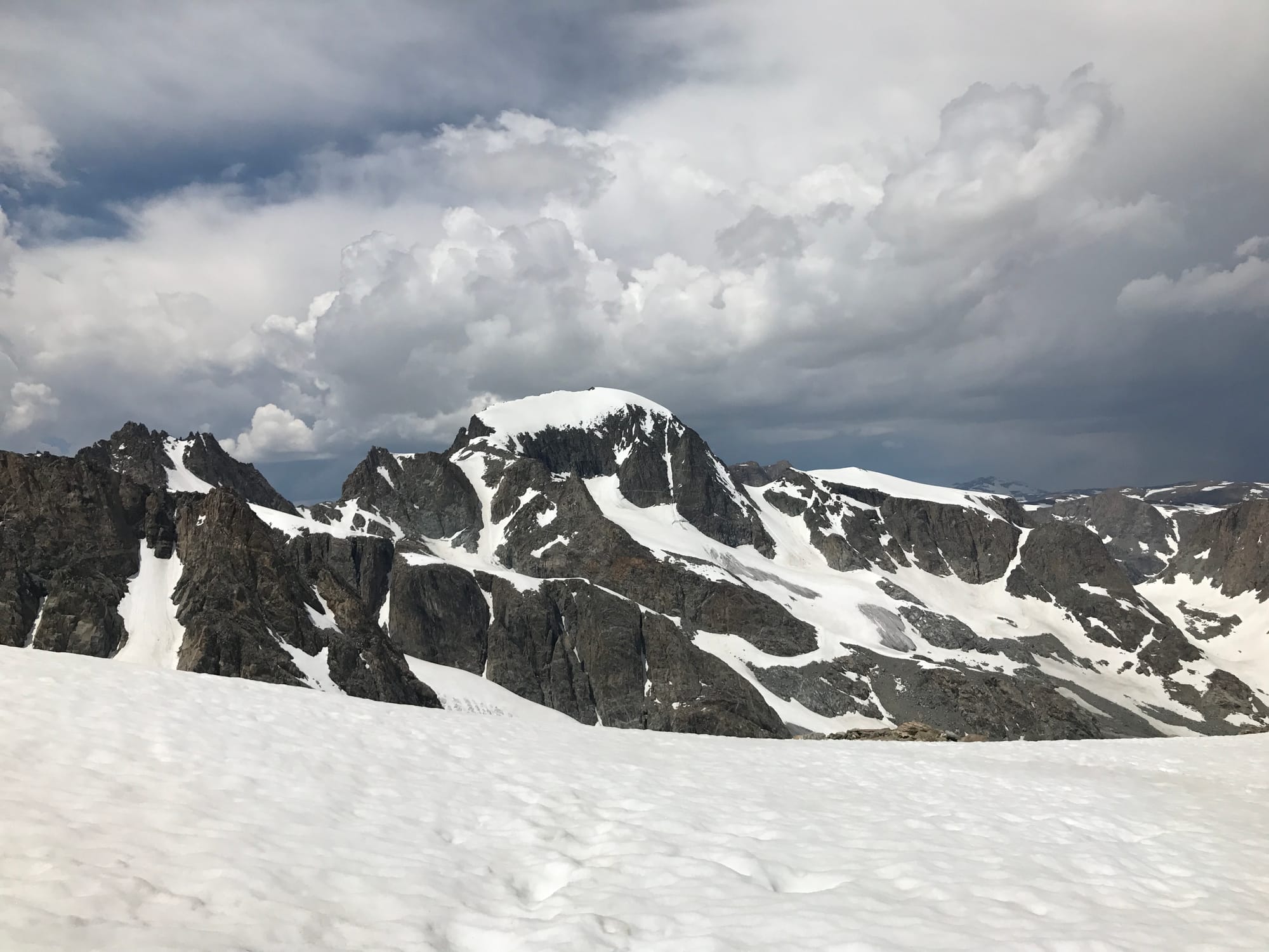 One last look at Gannett Peak.
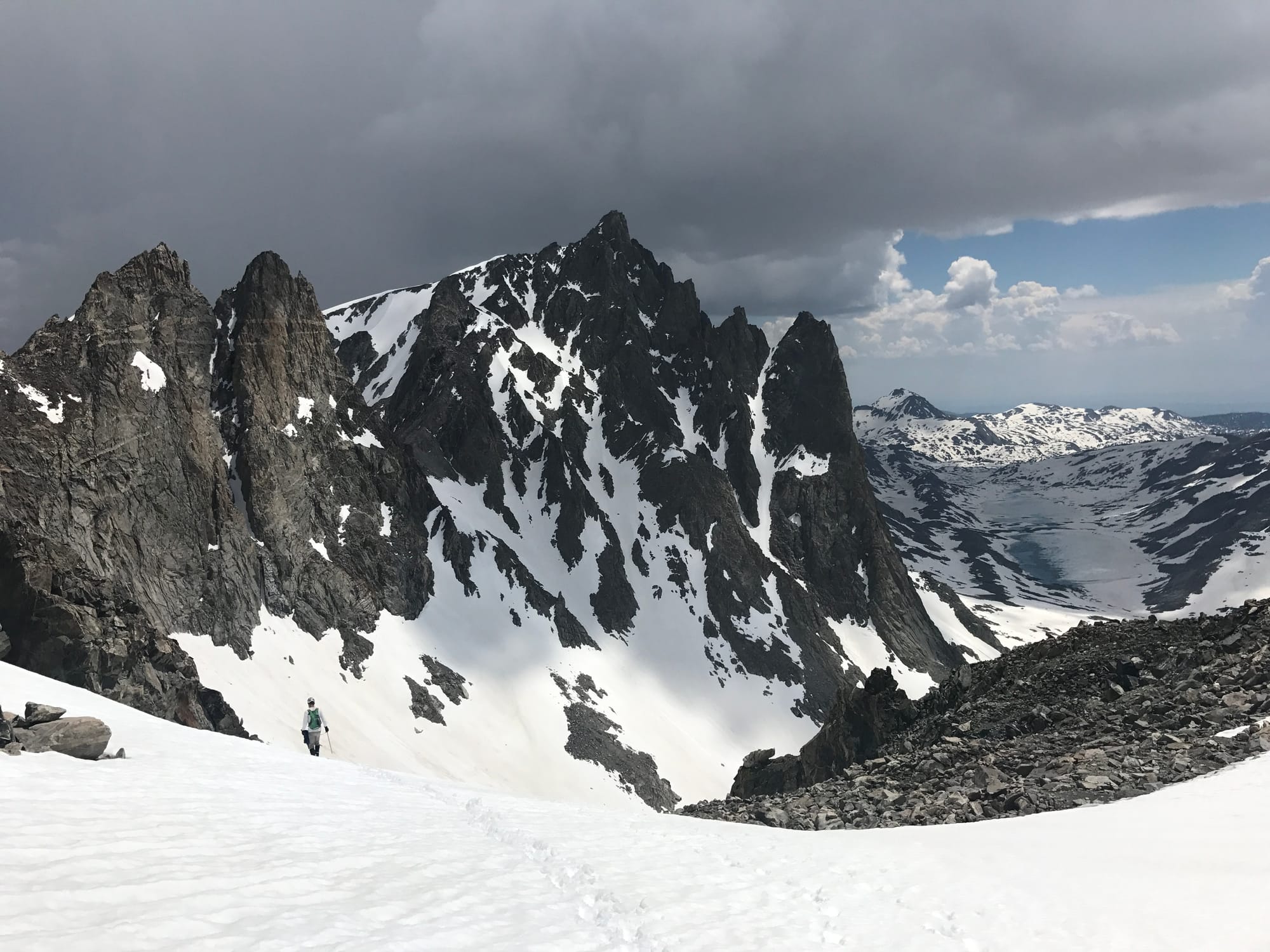 James descending Bonney Pass back to camp two.
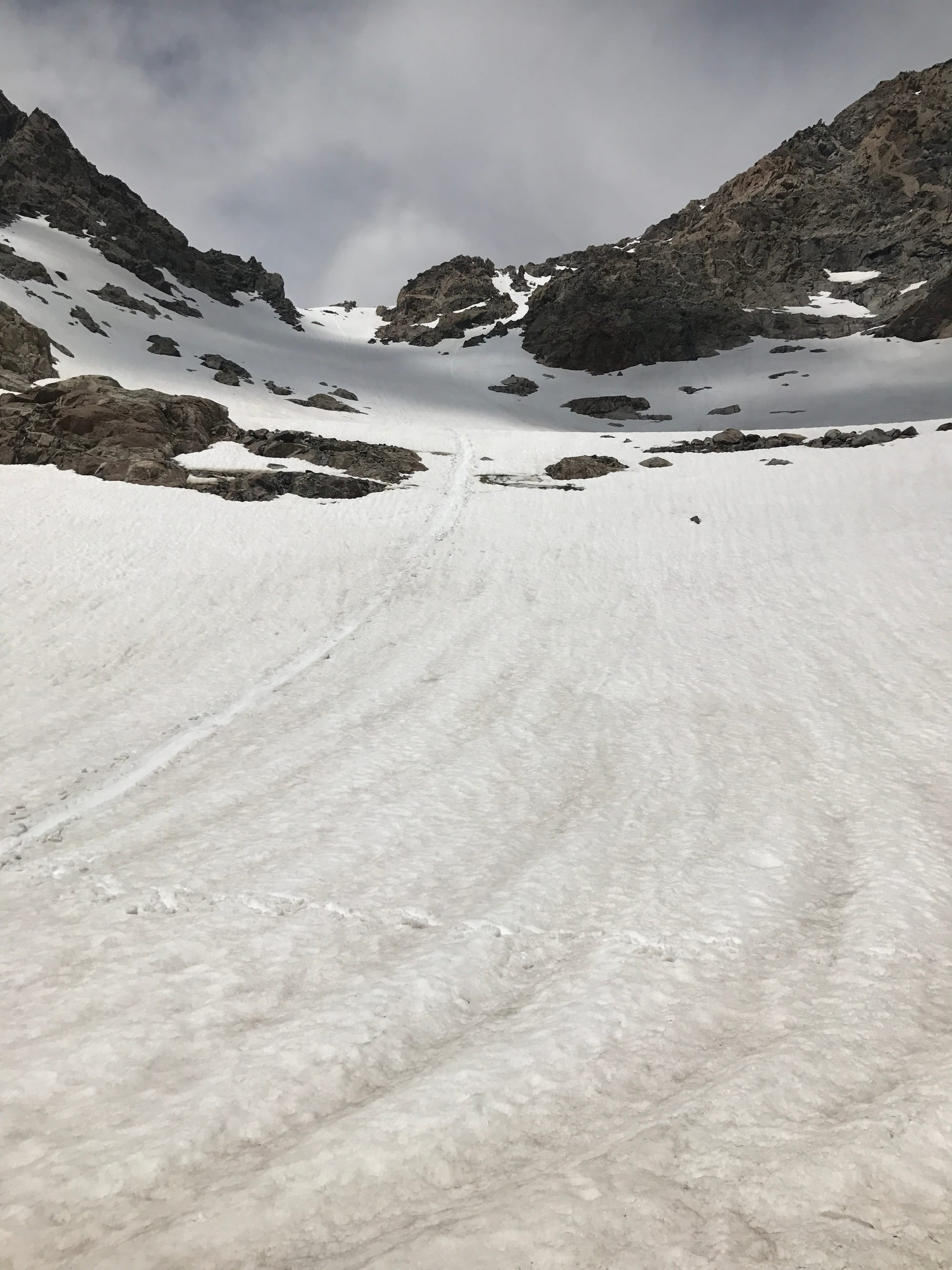 We glissaded off of Bonney Pass.
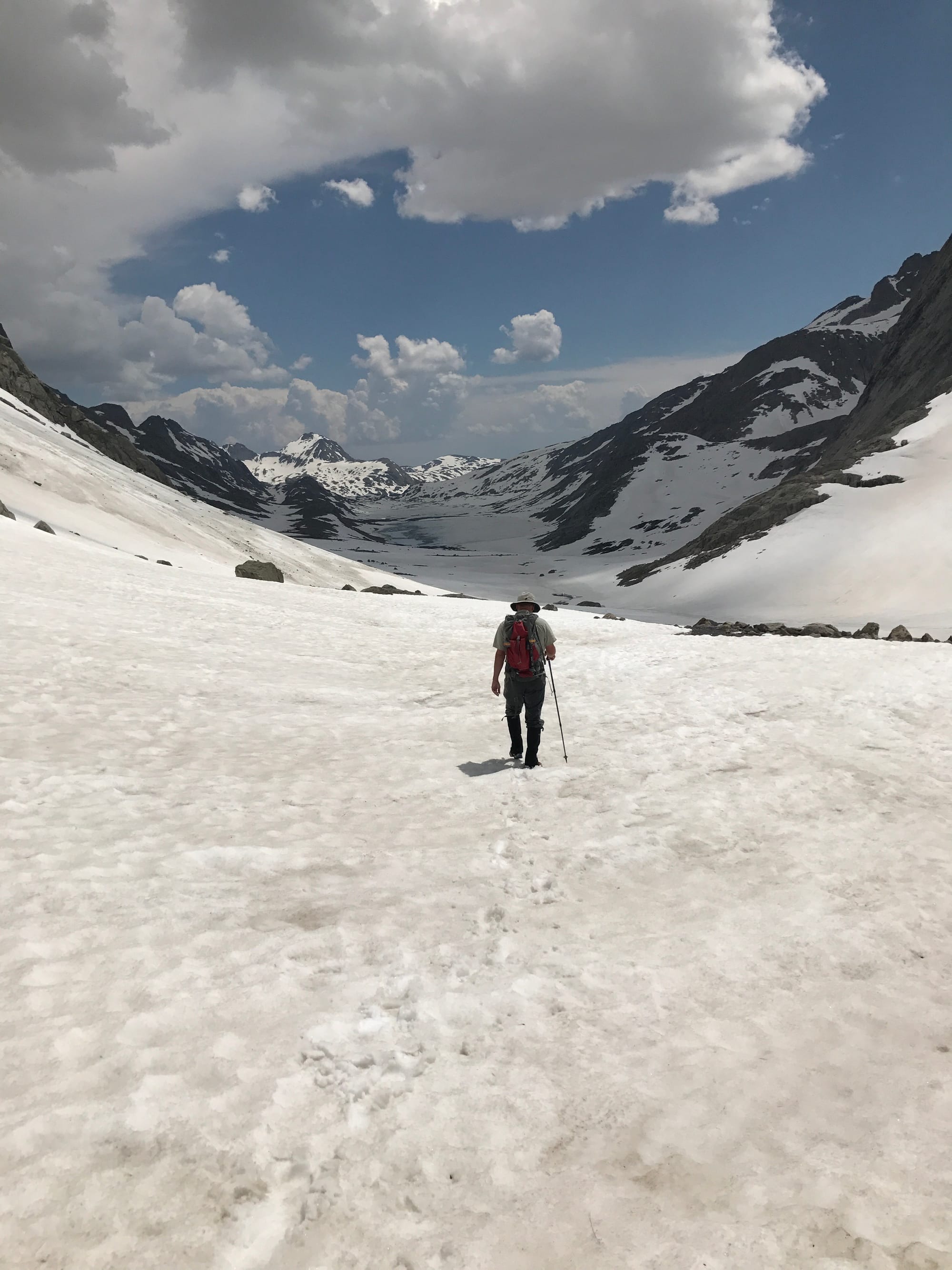 Jeff back in Titcomb Basin.
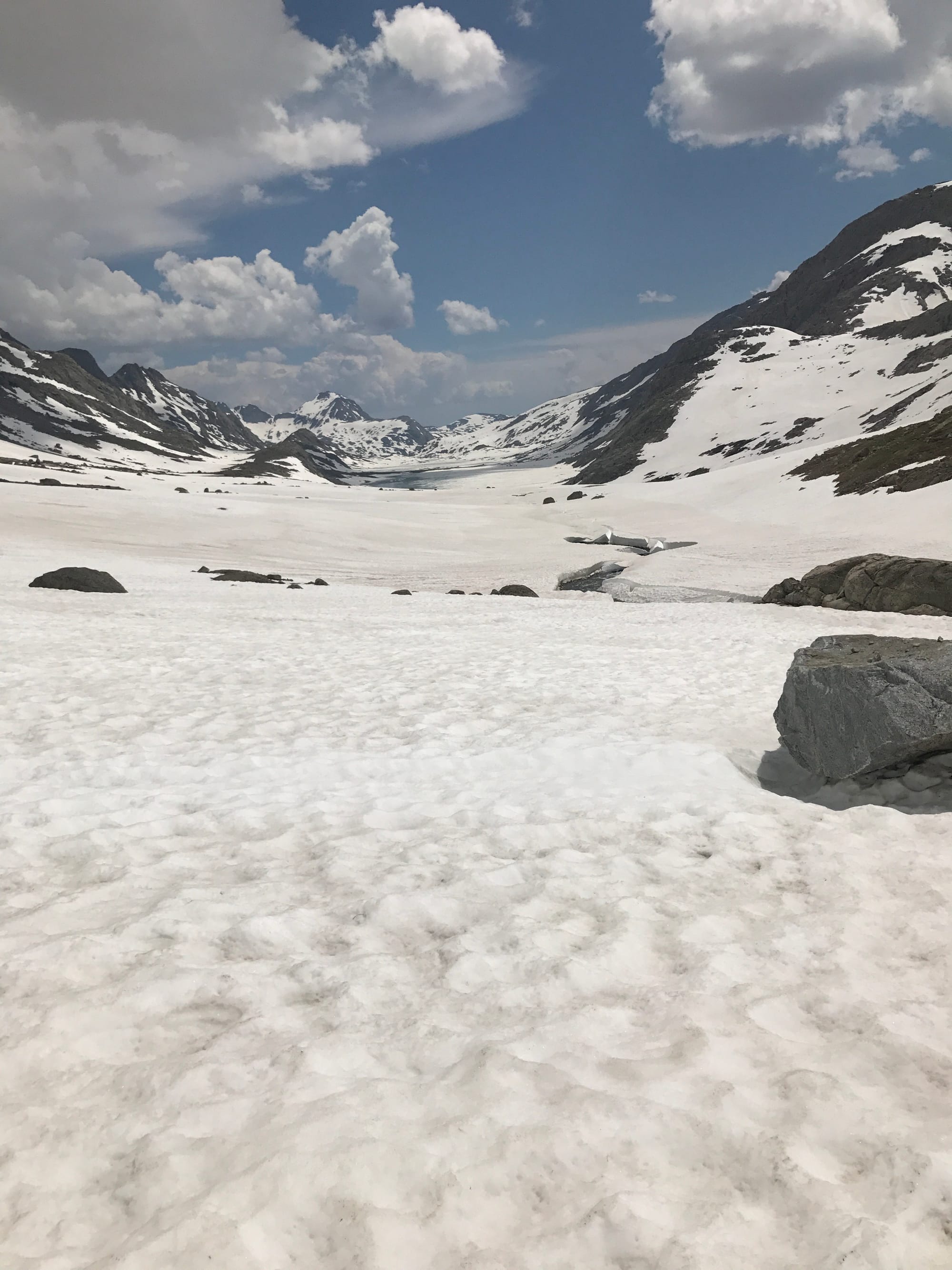 Titcomb Basin
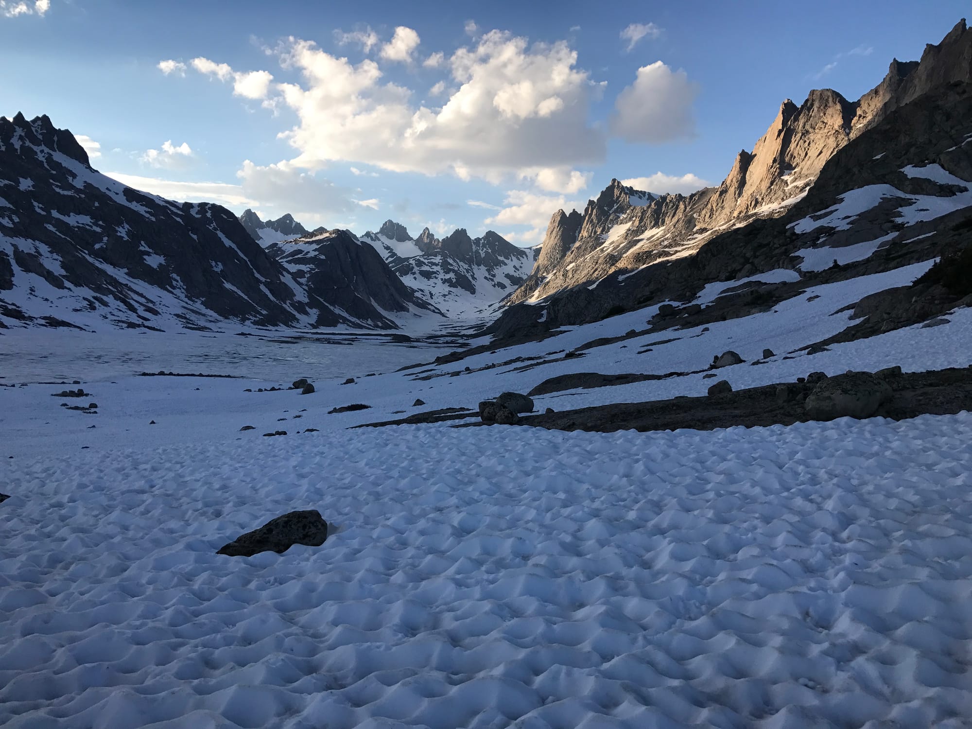 Titcomb Basin the following morning before hiking out.
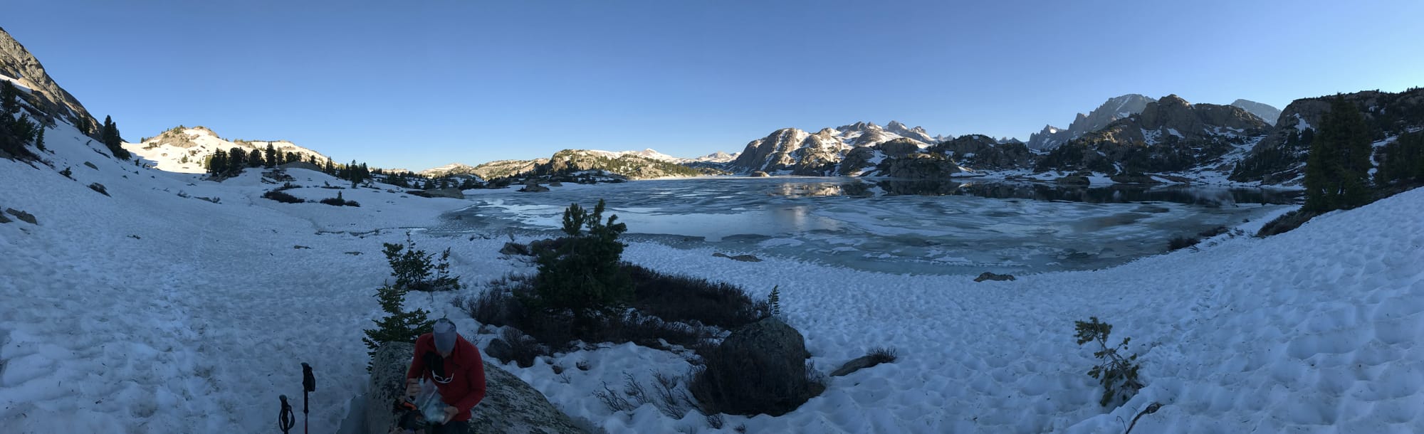 Island Lake