
Mount Sneffels (3)
Statistics
- Date - 06/06/2014
- Elevation - 14,150'
- Route - Snake Couloir
- Miles - 7.8
- Elevation Gain - 4,800'
- ACME Mapper - Link
- CalTopo - Link
- Partners - Wayne Herrick, Brian Kooienga, Jeff Kunkle, Kevin Smith
Description
Jeff planned a snow climb weekend in the San Juan Mountains that he invited us all on. We left Denver, Colorado, at 8:00 pm on Thursday evening and made our way up Camp Bird Road by 1:30 pm. After a couple of hours of sleep, we were up at 4:30 am and hiking into Yankee Boy Basin. We snow-climbed up to the Lavender Col around 13,500' and then dropped east for 1,500' towards Cirque Mountain. We essentially had to circle around to the north side of the mountain to access the Snake Couloir. The weather, setting, and climbing were exceptional. There was a bit of post-holing and kick-stepping up the apron and a short way up the couloir, but once in the confines of the Snake, the crampons and ice tools bit nicely into the firm snow. We topped out five hours after leaving the lower four wheel drive trailhead and enjoyed the views for 30 minutes on the summit. We simply went down the standard route back to the Lavender Col and were enjoying a beer at the trailhead after a 1.5 hour descent.
Photos
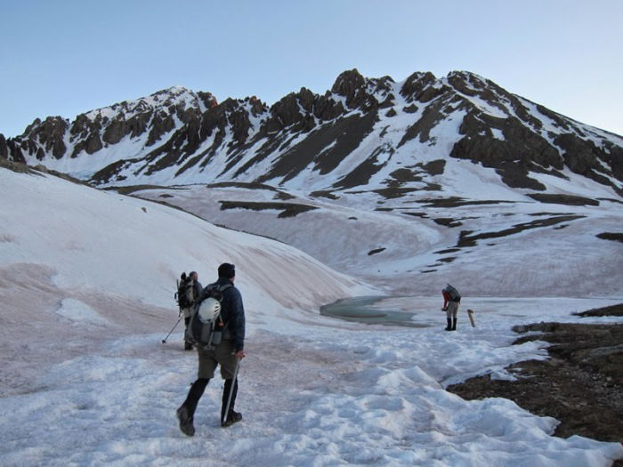 Jeff and Kevin on the approach.
 Lavender Col
 Gilpin Peak
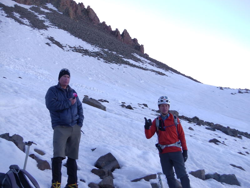 Wayne and Jeff
 Brian, Kevin, and James
 Brian
Brian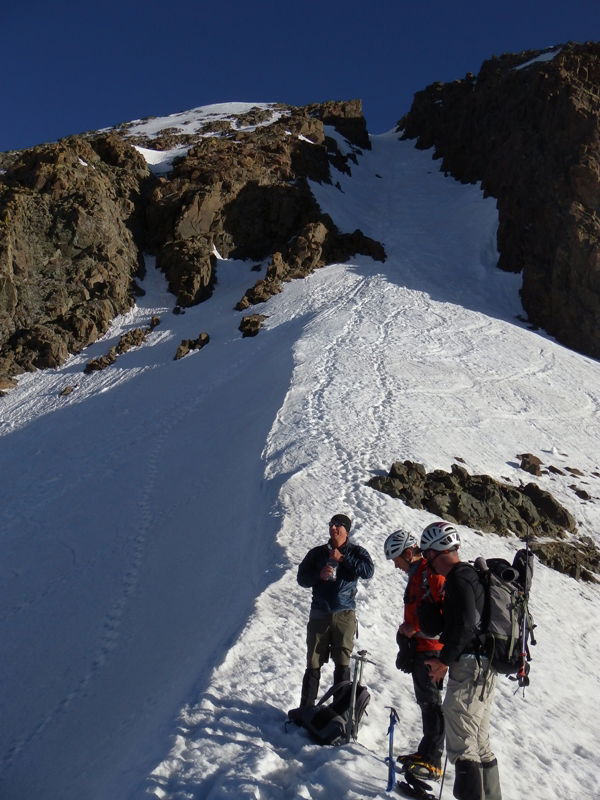 Wayne, Jeff, and Kevin and the standard route to Mount Sneffels.
 Brian and Gilpin Peak
 Brian descending the back side of the Lavender Col.
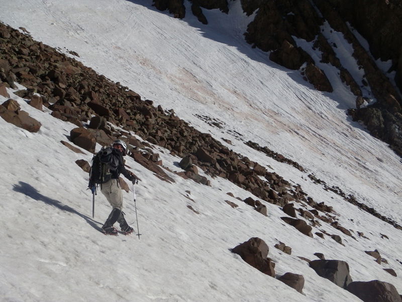 Kevin descending the back side of the Lavender Col.
 Wayne
Wayne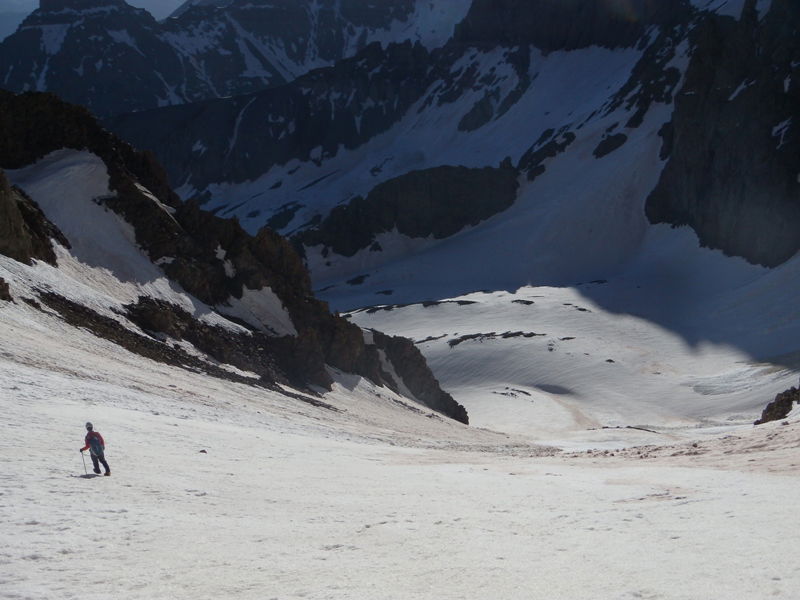 Jeff making the traverse to the base of the Snake Couloir.
 Approach
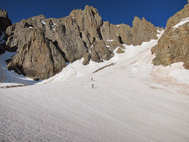 Brian and James
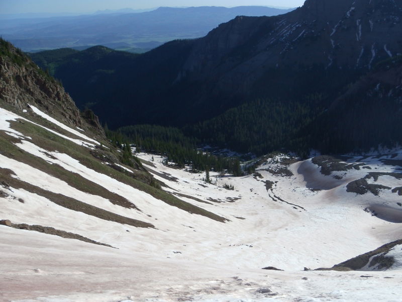 Blaine Basin
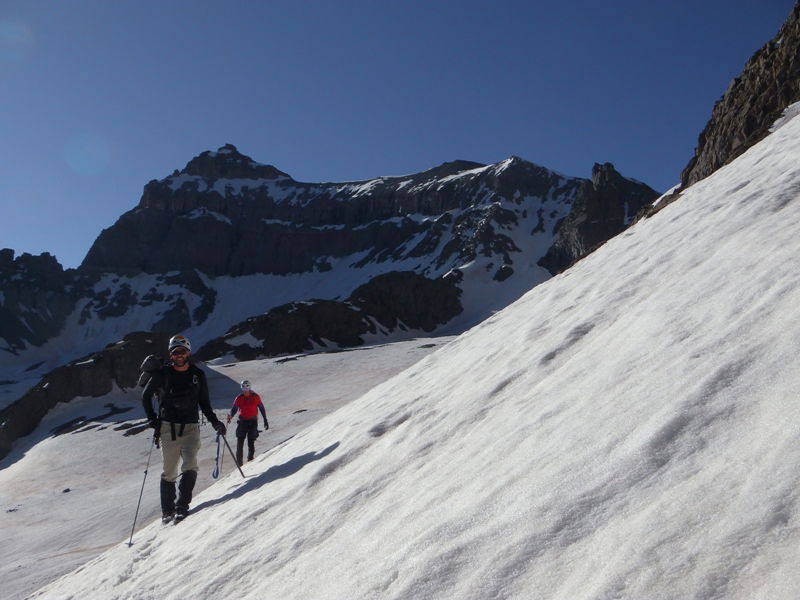 Kevin and Brian traversing to the climb.
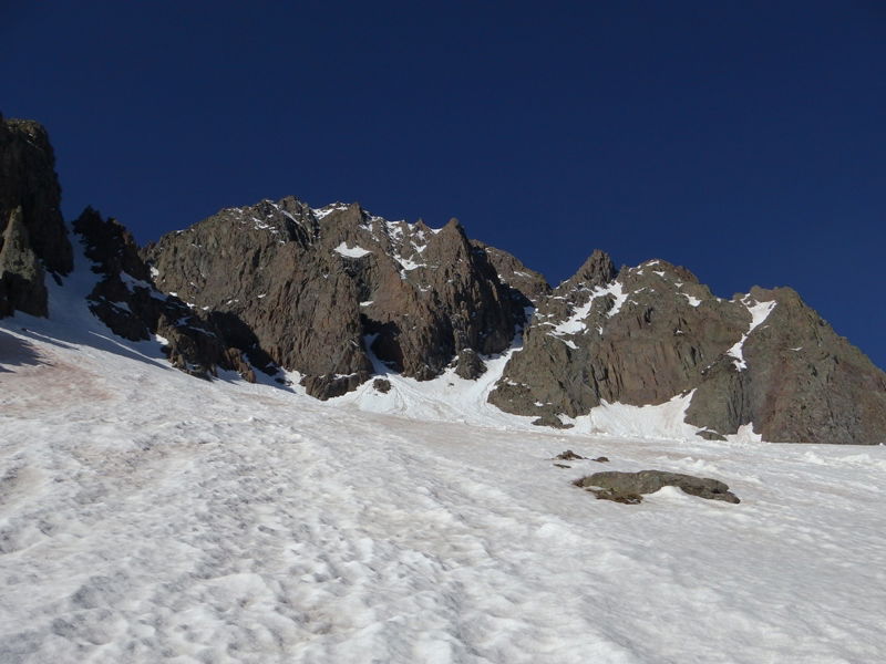 Our first view of the Snake Couloir.
 Kevin and Brian
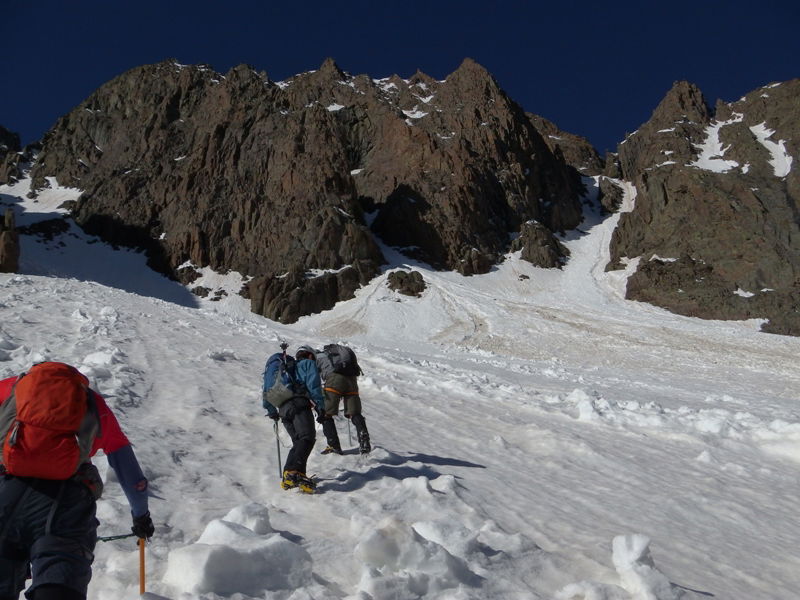 Brian, Jeff, and Wayne kicking steps up the apron.
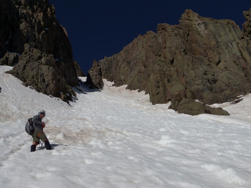 Wayne nearing the narrow section of the route.
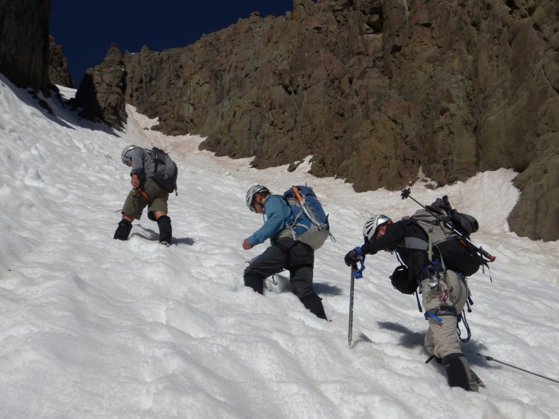 Wayne, Jeff, and Kevin before the snow got solid.
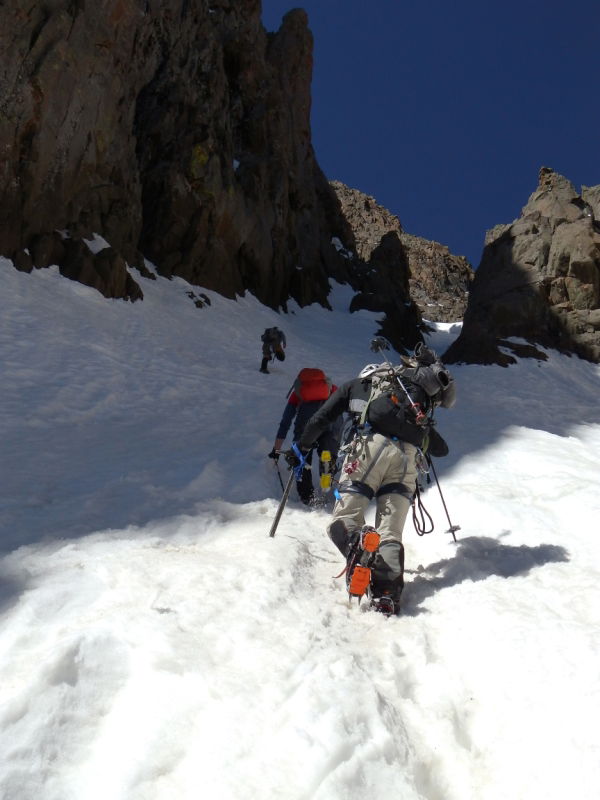 Entering the shade and better climbing conditions.
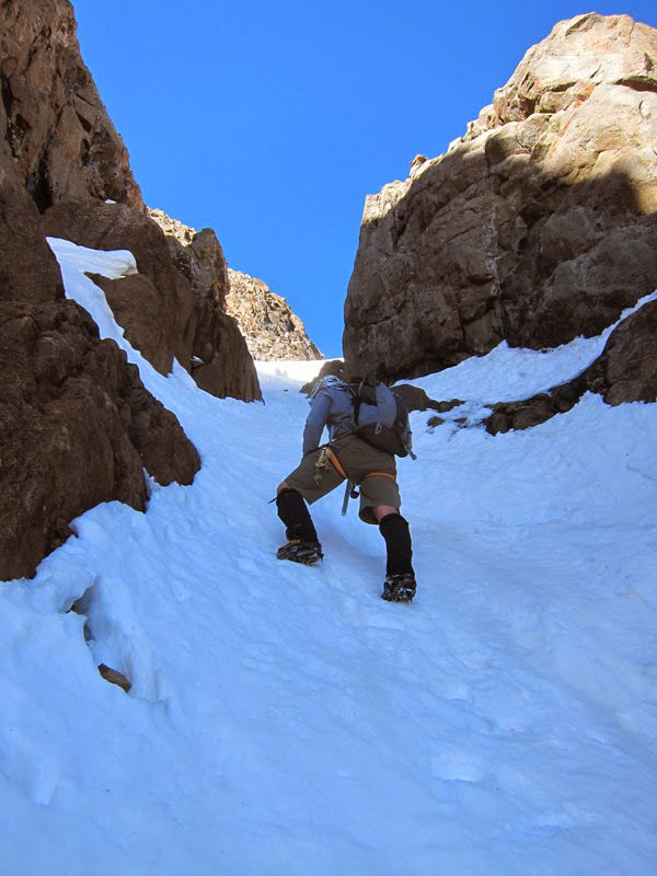 The Snake Couloir before the left turn.
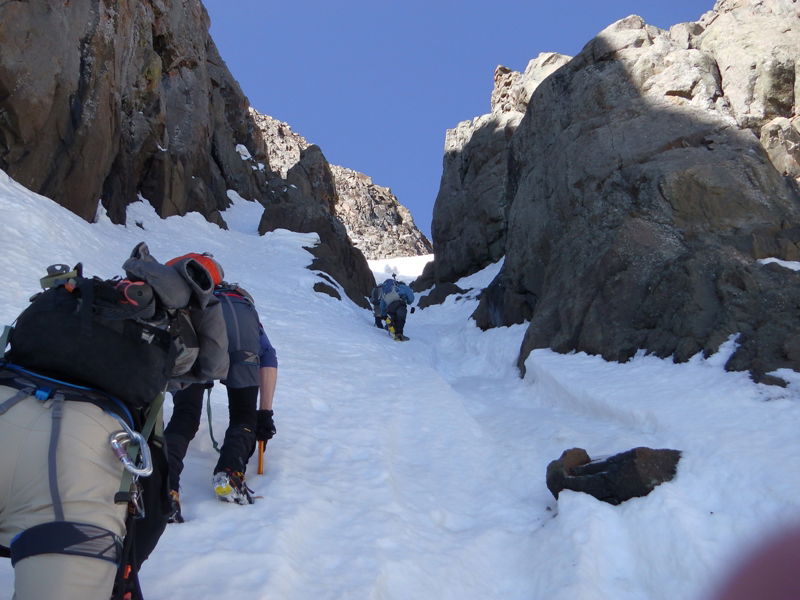 Constriction
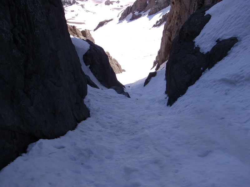 Looking down the lower section of the Snake Couloir.
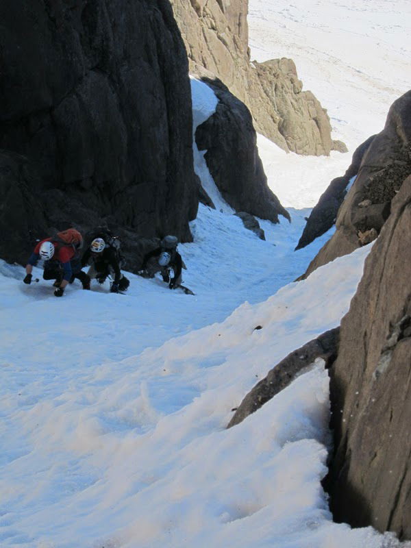 Brian, Kevin, and James synchronized climbing.
 Kevin and Brian before we turned left.
 Jeff
Jeff Looking down the climb.
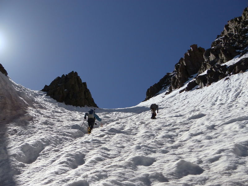 Looking up the climb.
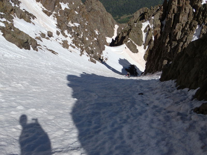 Looking down the couloir.
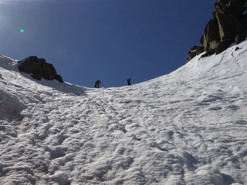 Jeff and Wayne topping out.
 Wayne nearing the short crux near the summit.
 Kevin and Brian nearing the crux step.
 Jeff at the top of the crux.
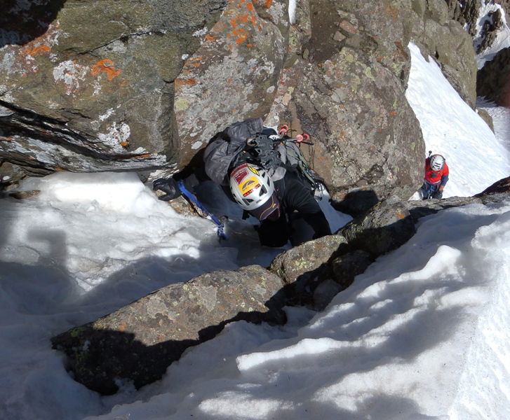 Kevin in the chimney.
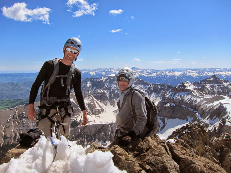 James and Wayne on the summit.
 Summit Photo
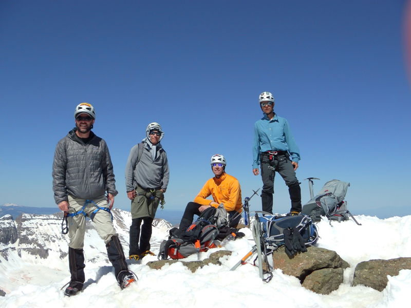 Kevin, Wayne, Brian, and Jeff
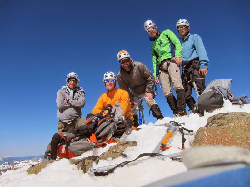 Group Summit Photo
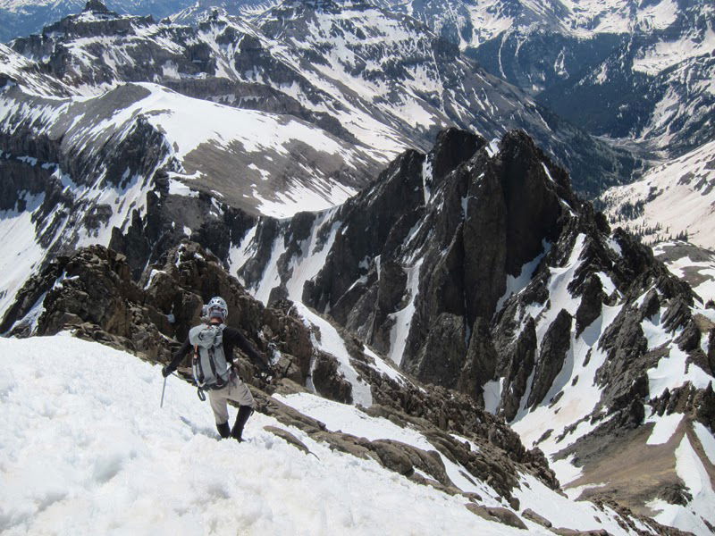 Descent
 Descent
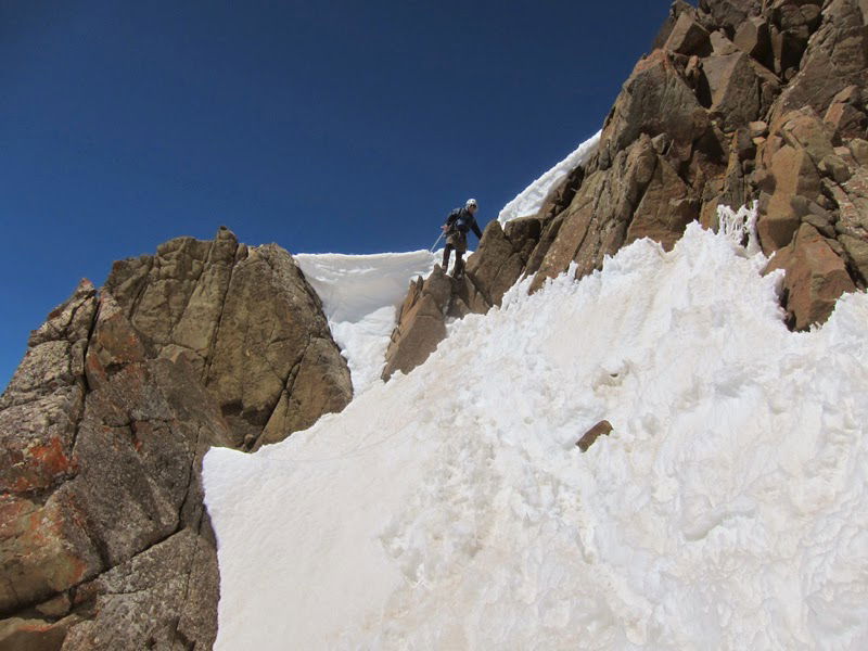 Descent
 Looking down the standard route.
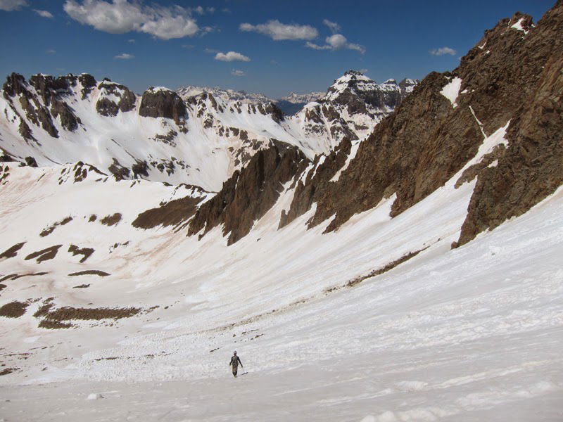 Hiking Out
 Lavender Col
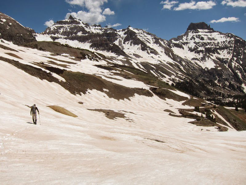 James hiking out with Teakettle Mountain, Coffeepot, and Potosi Peak.