
Forbidden Peak
Statistics
- Date - 07/31/2013
- Elevation - 8,815'
- Route - West Ridge
- Miles - 9.0
- Elevation Gain - 5,615'
- ACME Mapper - Link
- CalTopo - Link
- Partners - Brian Kooienga
Description
I picked Brian up at SeaTac late Monday evening and we drove to the Marblemount Ranger Station. We simply laid out our sleeping mats and pads and slept in the parking lot to wait for the station to open the following morning. We got a permit to camp in Boston Basin and were quickly driving up the North Fork of the Cascade River. We rattled our rental car to the trailhead and made our way up the trail. We had to cross Midas, Morning Star, and Boston Creek on the well-established climbers trail to upper Boston Basin. The trail was relatively steep, but easy to follow. We overestimated the approach and were setting up camp in 2 hours and 45 minutes. We spent the afternoon and evening enjoying the views, hydrating, and eating. Our research indicated that with good weather we could expect five to seven hours to the summit and three to five hours back to camp located in upper Boston Basin. A few parties we talked to on the approach and at our camp indicated they had even longer days. We weren't sure what to expect. The West Ridge Couloir was not easily passable, so our ascent was going to begin in the left bypass gully to the west of the couloir.
We started around 6:00 with a hike up a moderate snow field to a glacier, which was relatively small in comparison to the Quien Sabe, Forbidden, and Boston Glaciers. The crevasses were exposed, so we didn't rope up for the approach across the snow. We made it to the bypass gully in approximately one hour from camp. At this point, Brian took the sharp end of the rope as we simul-climbed to the west ridge proper. The initial 100 feet was actually fairly challenging due, in part, to the loose nature of the gully and grunginess of the rock. Brian did a good job leading us up the rock and placing appropriate gear in what we actually considered the hardest climbing of the day. The gully eases up after the first 200' and even more so as you near the notch in the west ridge. It was kind of funny that we thought the most difficult part of the day was the class 4 approach gully to the climb. I felt as though there were three or four 5.4 to 5.5 moves. It took us about an hour from the base of the gully to the notch.
We took a ten minute break at the notch to drink and cache some gear for the west ridge of Forbidden Peak (8,815'). This route is considered one of the 50 Classic Climbs of North America. Still not sure what to expect, we switched leads and continued to simul-climb up the initial part of the ridge, which was supposed to be primarily class 4. We were making good time placing a few pieces of gear, slinging rock horns, and clipping rappel anchors on the ascent. After 50 short minutes on the most fun ridge I have ever climbed, we were on the summit of Forbidden Peak. The climbing was never very difficult, and when a tricky move was encountered, I threw in a piece of gear and it was over quickly. We spent about 30 minutes on the summit taking in the views and jaw-dropping scenery. Although the Cascades are not particularly tall, the relief from the valleys and incredible glaciers were quite a treat to take in. I thought there were a couple of sections of 5.3 to 5.4 climbing, but we didn't pitch anything out.
We down-climbed most of the ridge, with the exception of three short rappels near the middle of the ridge. Upon reaching the notch, we grabbed our gear and scrambled down to the top of the ascent gully. From here we did 5 rappels off of well-placed anchor stations, and were soon back on the snow. We hiked back down to camp, packed up our gear, and began the steep descent back to the trailhead. It took us 6 hours and 30 minutes camp-to-camp, and we were pretty happy with that time. The flies were particularly annoying and the hot dusty trail wasn't a real pleasure. We threw our packs into the car and drove back to civilization. It was a great hike in the North Cascades.
Photos
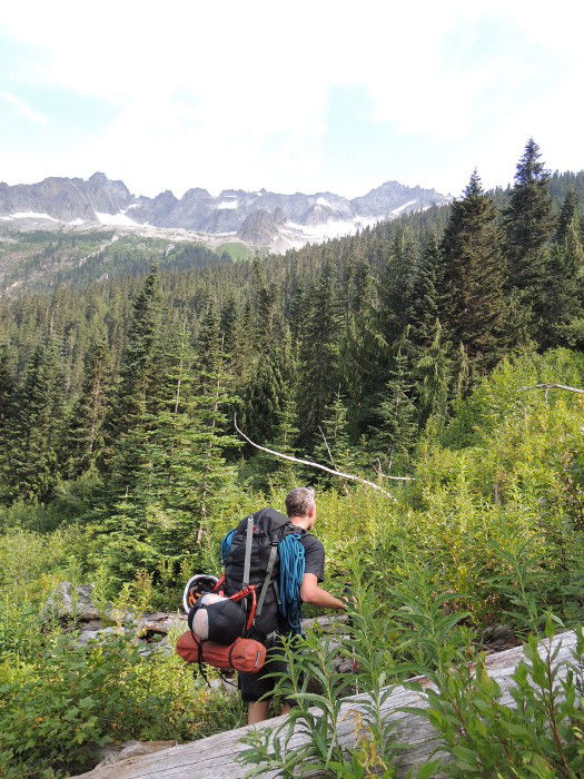 Approach Hike
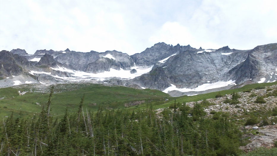 Forbidden Peak
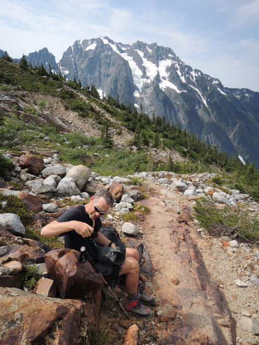 Break
Break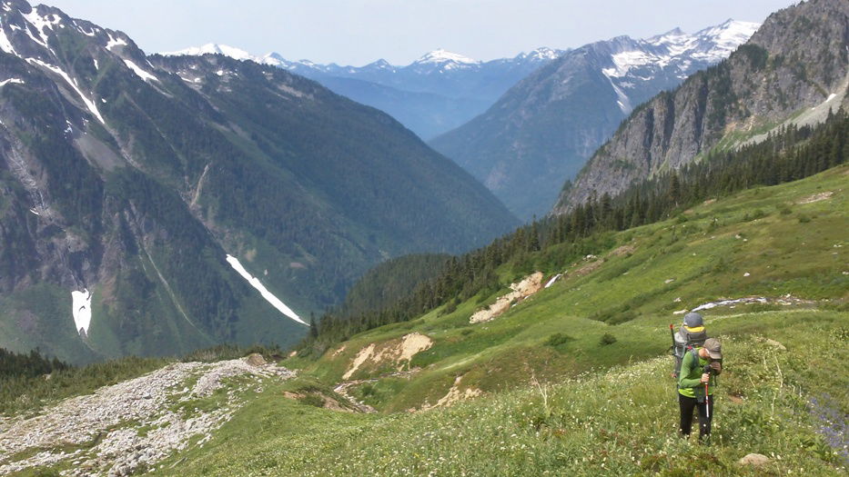 Approach Hike
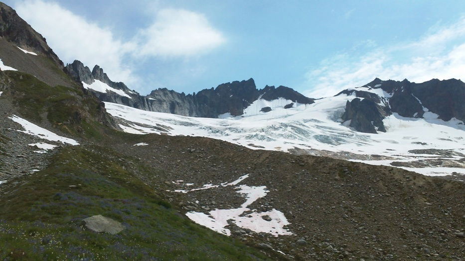 Qien Sabe Glacier
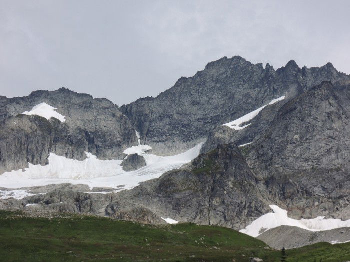 West Ridge Couloir
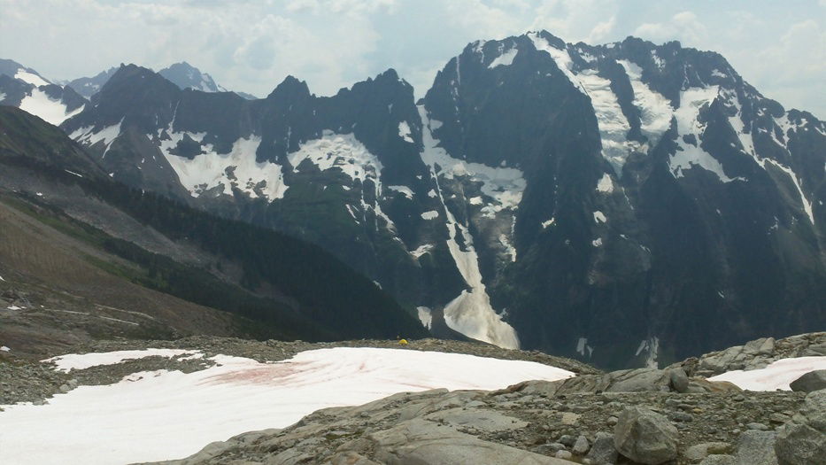 Our camp at the base of the snow field with Johannesburg Mountain.
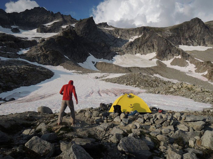 Base Camp
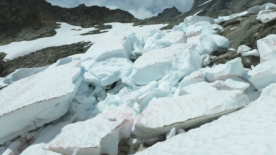 Melting Snow and Ice
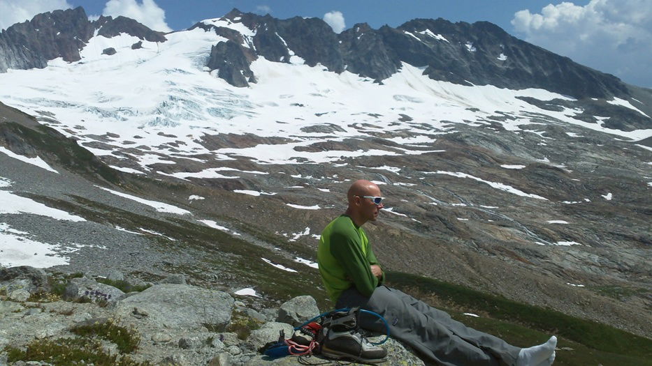 Brian
Brian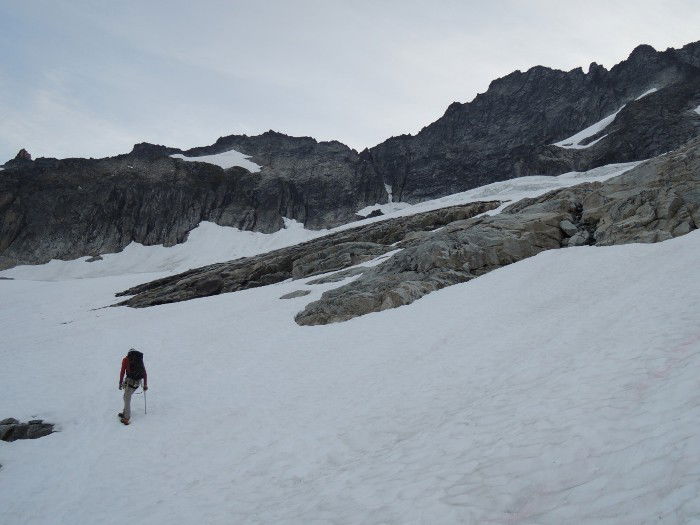 Approach
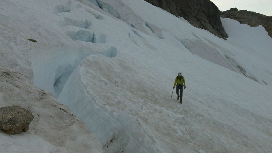 Crevasse
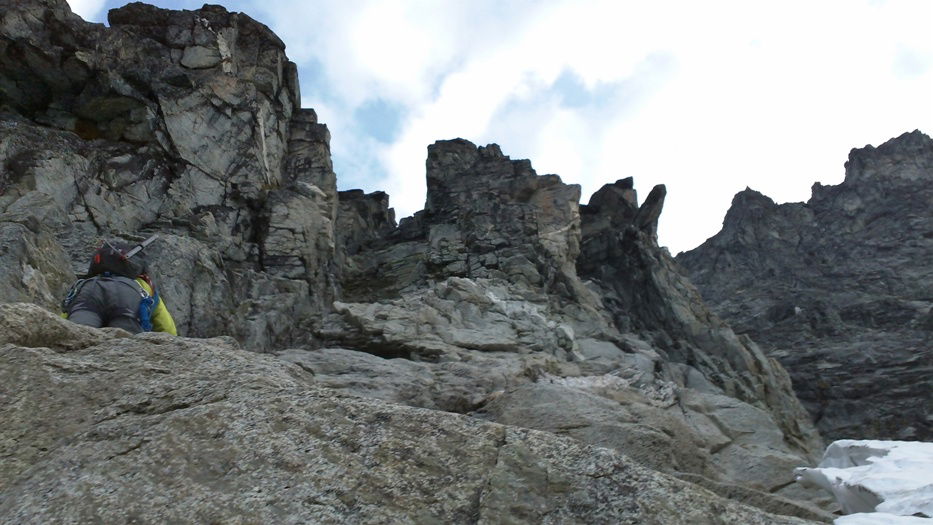 Scrambling
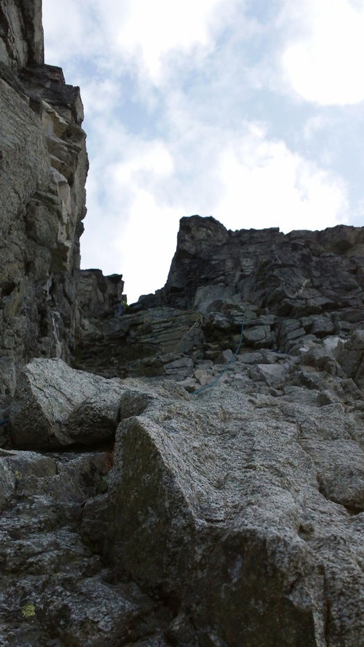 Brian climbing the approach gully.
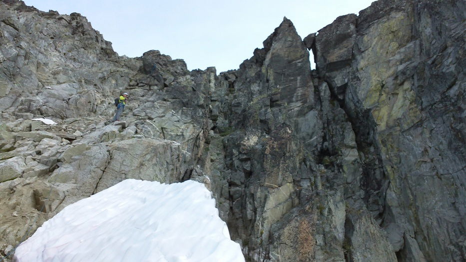 Brian scrambling to the notch.
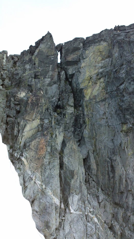 The start of the west ridge climb.
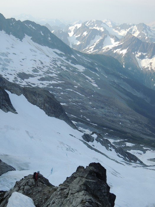 James
James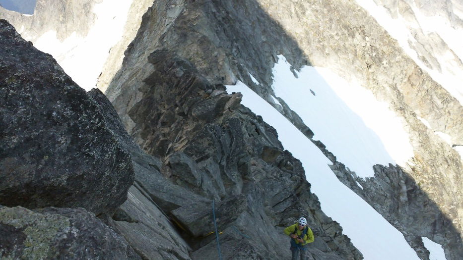 Brian
Brian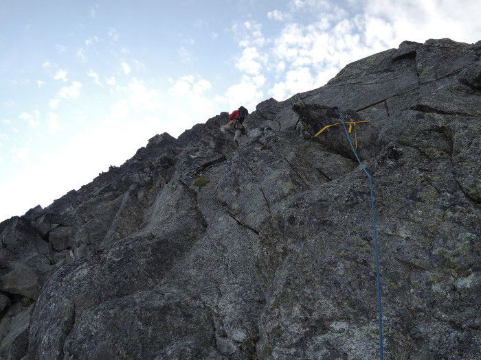 James climbing up the west ridge.
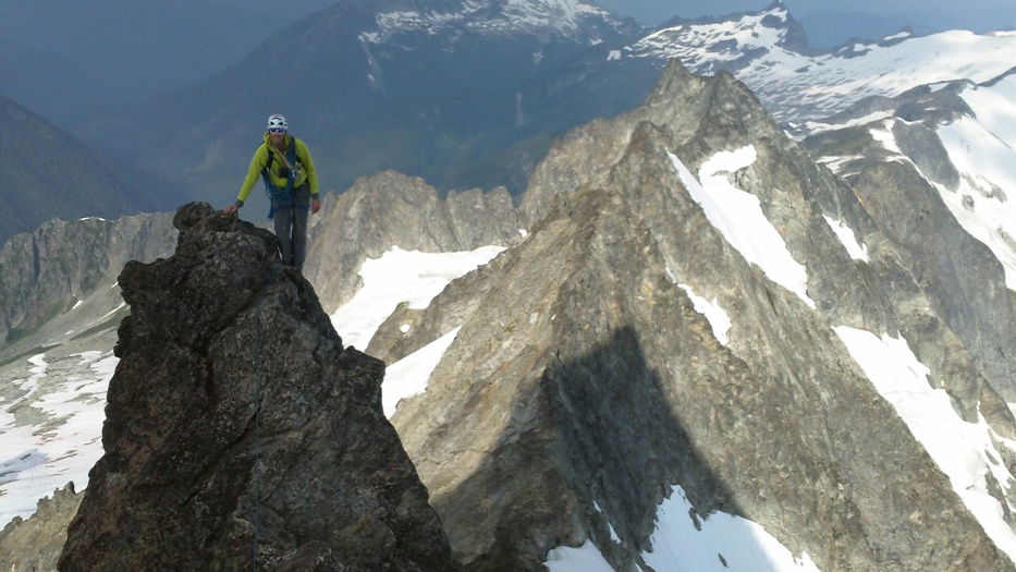 Brian climbing up the west ridge.
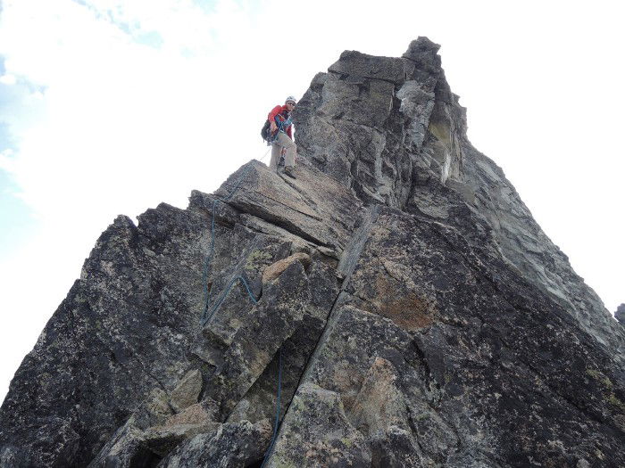 James
James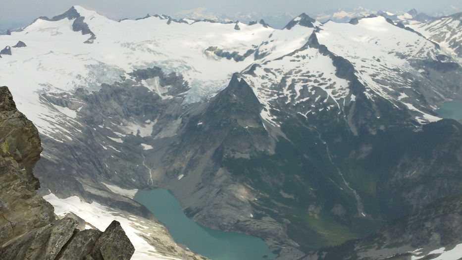 Moraine Lake, Tepeh Towers, and Klawatti Peak
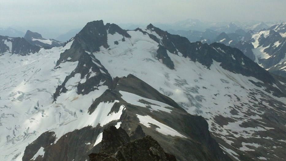 Boston Peak, Quien Sabe Glacier, and Sahale Mountain
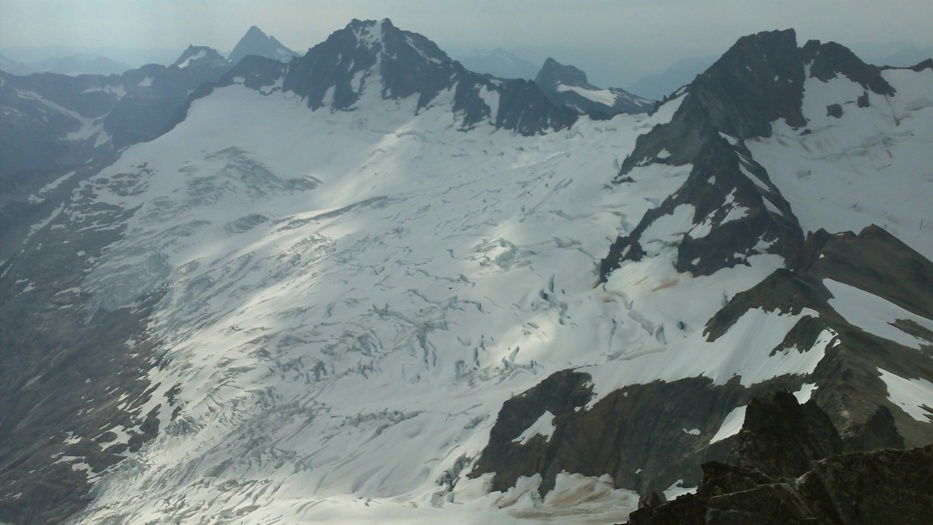 Boston Glacier and Buckner Mountain
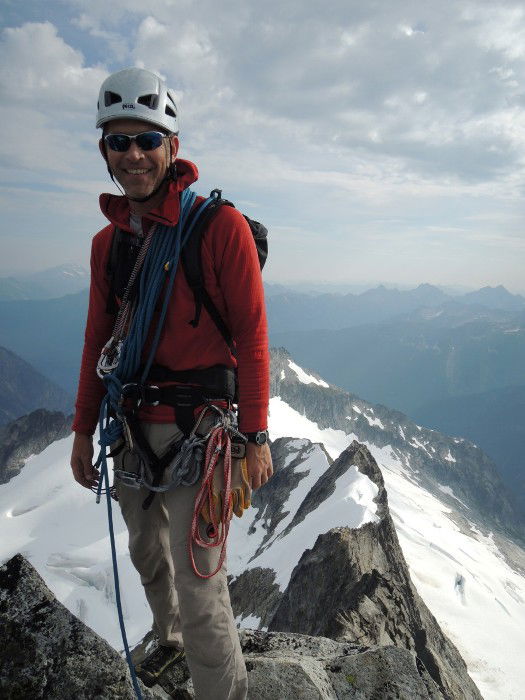 Summit Photo
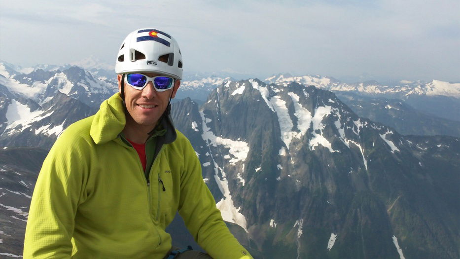 Brian on the summit of Forbidden Peak.
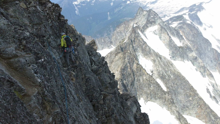 Down Climbing
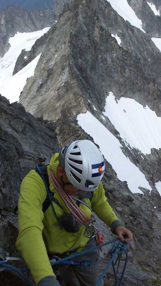 Rappel
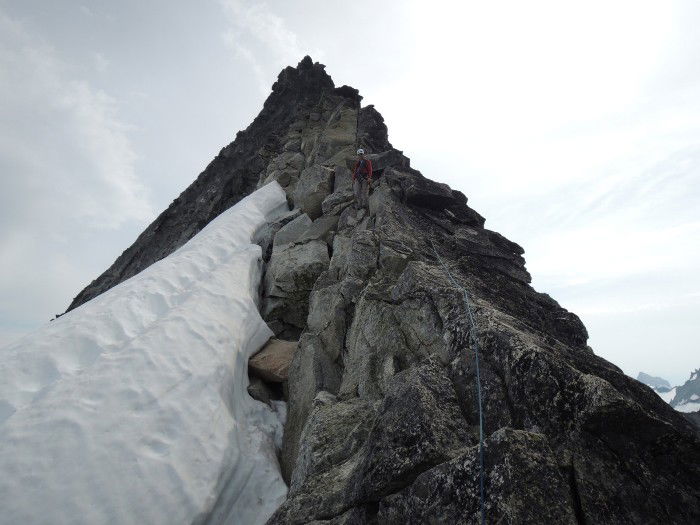 James nearly back down the ridge.
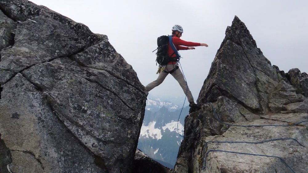 Exposed Step
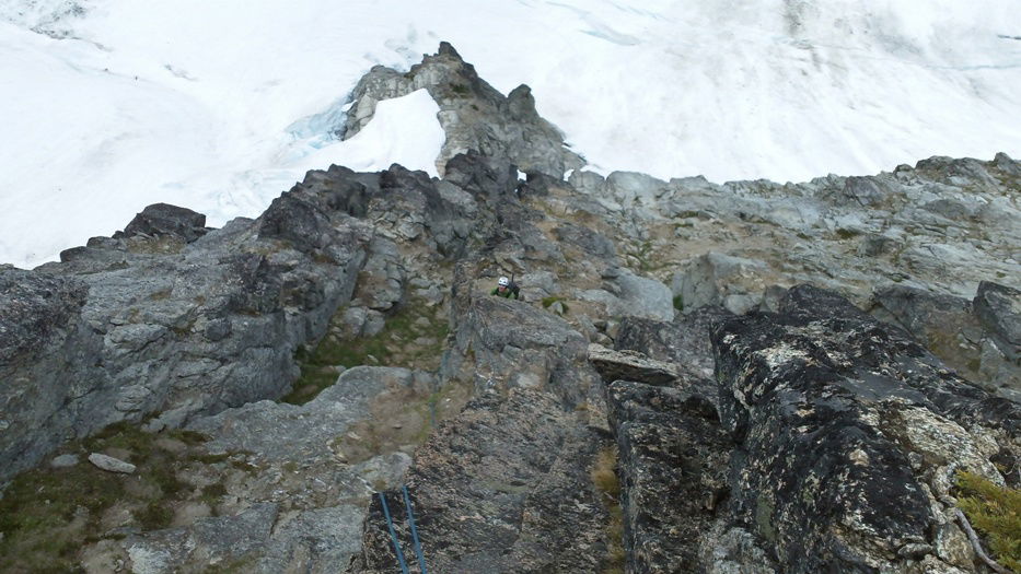 Brian at the base of one of the rappels.
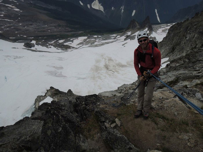 Rappel
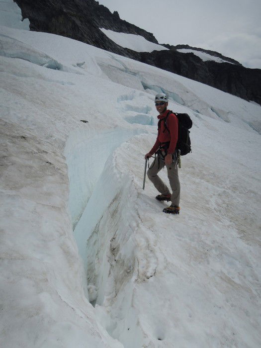 Crevasse
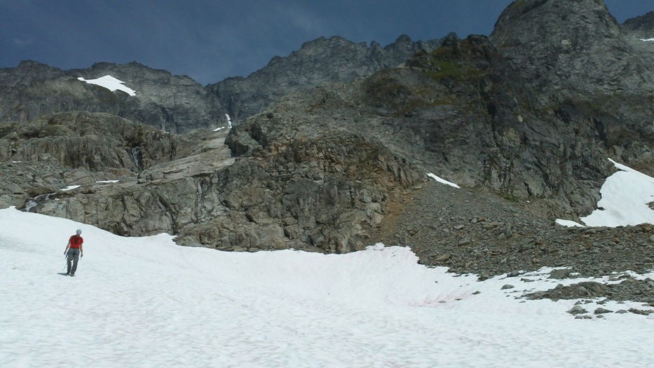 Descent
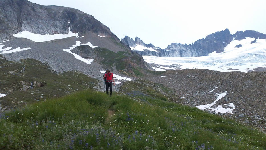 Hiking Out
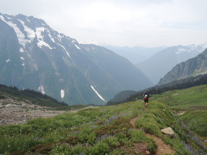 Hiking Out
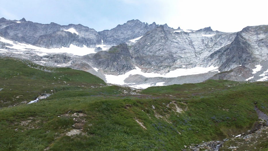 Forbidden Peak