
Mount Toll
Statistics
- Date - 05/11/2012
- Elevation - 12,979'
- Route - North Couloir
- Miles - 6.0
- Elevation Gain - 2,521'
- ACME Mapper - Link
- CalTopo - Link
- Partners - John Balciar, Kevin Smith
Description
Kevin called early in the week looking for a Friday climbing partner. I was available, and lucky for Kevin and I, John decided to join us late Thursday evening. We met at a park and ride in Denver, Colorado, at 4:00 and left for the Indian Peaks in my vintage 1998 Honda Accord. I've tried to order classic license plates for my car, but the motor vehicle department keeps hanging up on me. Anyway, Kevin suggested we attempt the North Couloir on Mount Toll. He assured John and I that the gate to Brainard Lake was open so we thought we were in for a quick alpine climb. As we reached the winter trailhead, we quickly realized the gate was not open. As a result, we added approximately six miles of road hiking to our day. I didn't add this extra mileage to my statistics above.
Kevin set the initial pace up the road at a slow jog, and conditions from the start of our hike were certainly questionable. Throughout the approach, we could generally only see about 150' due to the pea soup like weather. Fortunately, John had entered our route into his GPS and we were able to stay on track. For some reason I thought my internal mountaineering instinct was more accurate than his GPS, and I continually kept pulling us to far right up the drainage. John quietly kept us on route rather than telling me what a dumbass I was for going the wrong direction. We quickly reached Blue Lake in the upper basin with still no view of our intended route. We continued up toward the saddle between Mount Toll and Paiute Peak without even catching a glimpse of Mount Toll. We took a quick break feeling certain we were very close to the actual climbing. Right on cue, the clouds and fog lifted enough for us to raise our heads skyward and finally see the North Couloir. Our depth perception was pretty messed up, and it was a bit intimidating to wrench our necks up and see the route above us.
We quickly geared up to take advantage of the break in the weather and started up the climb. We free climbed about one-third of the way up the snow going through two short mixed steps. The route gently winds it's way up the mountainside in a skinny S to the summit. Snow conditions were generally good for kicking steps, although the constrictions were a bit tricky due to loose snow on rock. We roped up for a couple of pitches and some simul-climbing before being deposited almost directly on the summit. We had a few minutes to refuel and enjoy some limited views.
We descended the south face route catching a couple of good glissades on the way back to Blue Lake. The temperature got colder which was needed to keep the snow firm and avoid severe post-holing on the hike out. The last few miles on the road seemed to last a long time, but we eventually made it back to the winter trailhead and enjoyed a beer. After this, we went into Boulder, Colorado, and had some mexican food at the Rio. We thought it was definitely a worthwhile route that reminded us a lot of Dreamweaver on Mount Meeker only not quite as long.
Photos
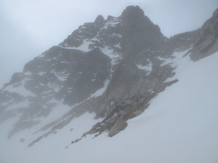 Mount Toll North Face
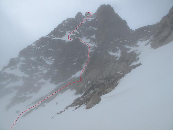 Route
Route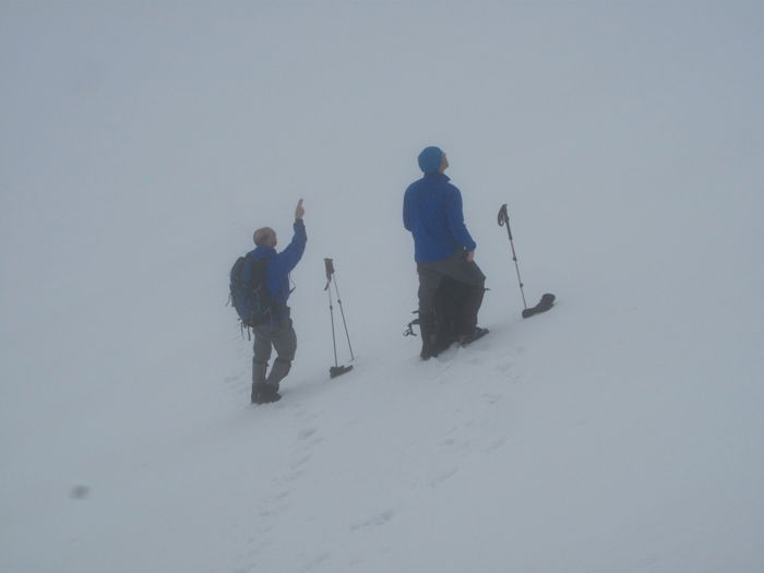 Kevin and James
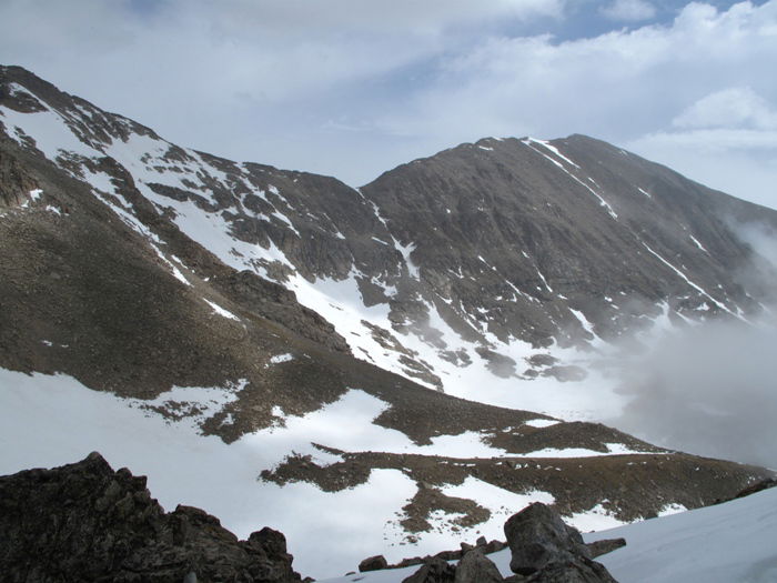 Mount Audubon
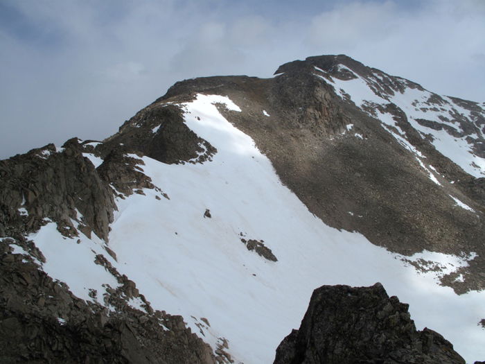 Paiute Peak
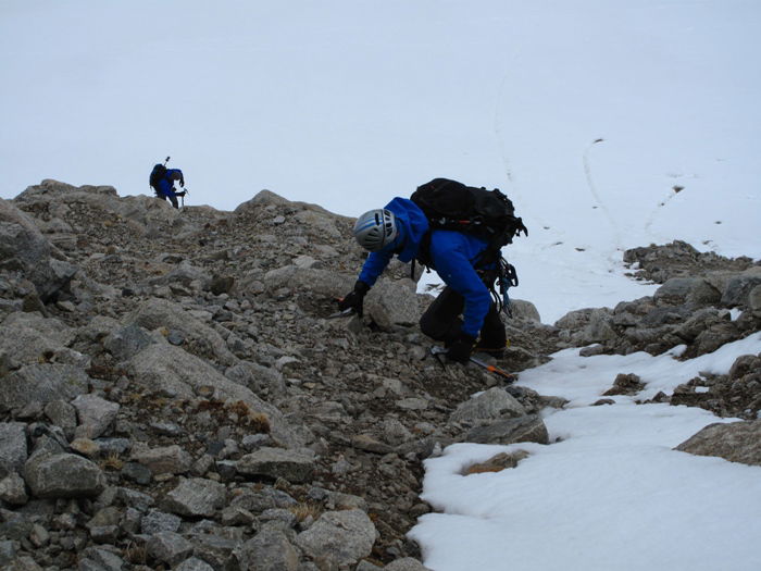 Kevin and James
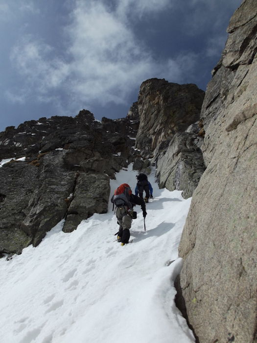 John and James
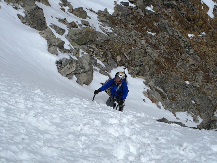 Kevin
Kevin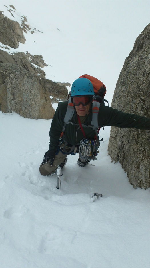 John
John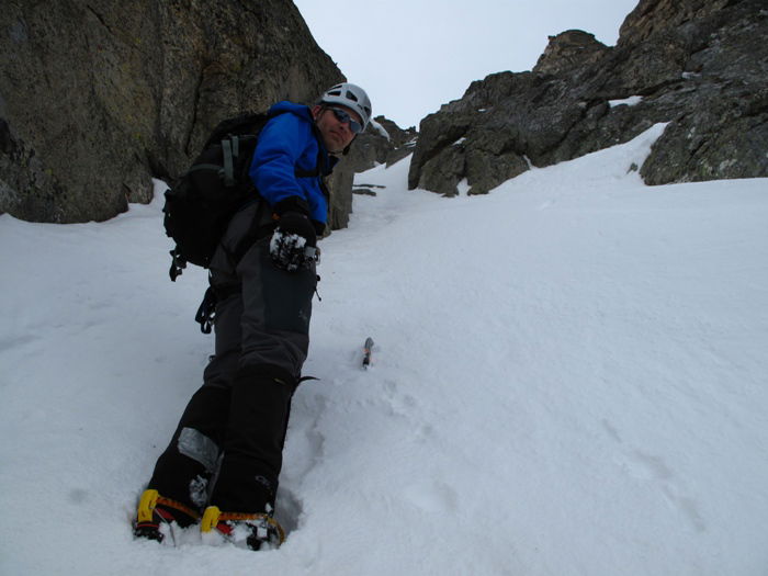 James
James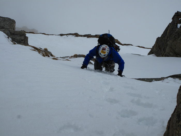 Kevin
Kevin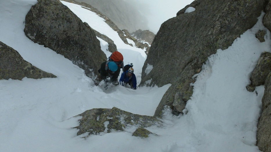 John and Kevin
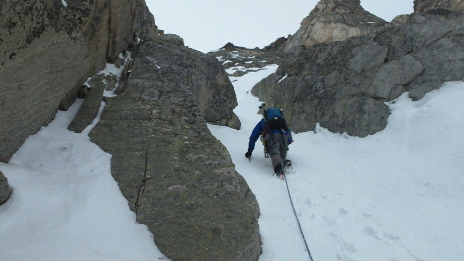 Kevin
Kevin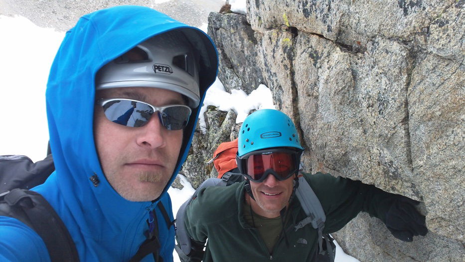 James and John
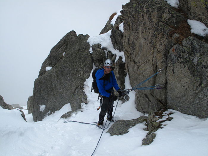 James
James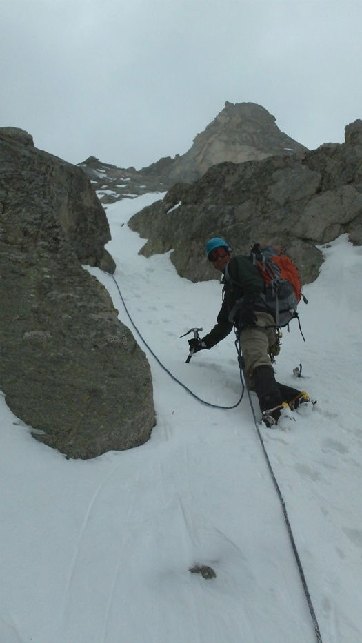 John
John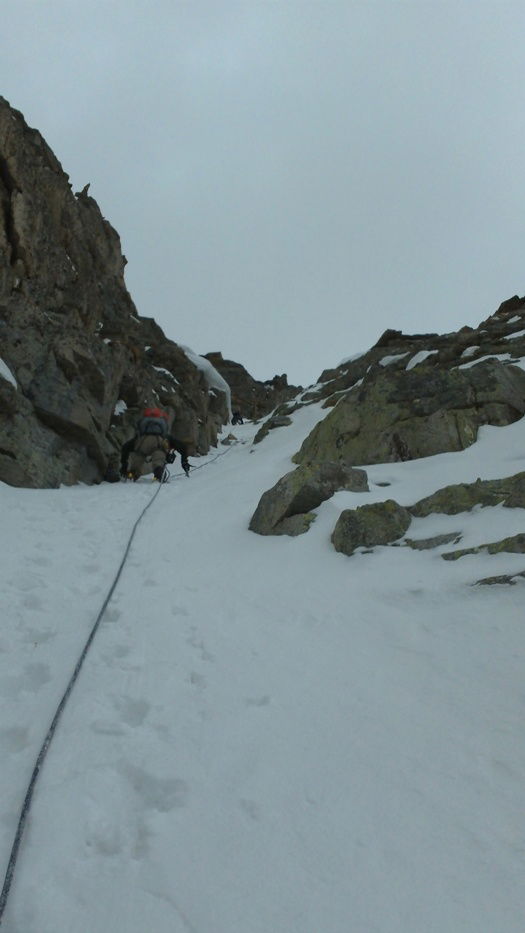 John and Kevin
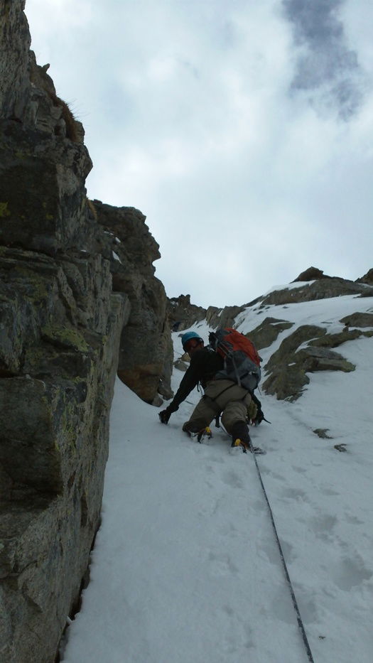 John
John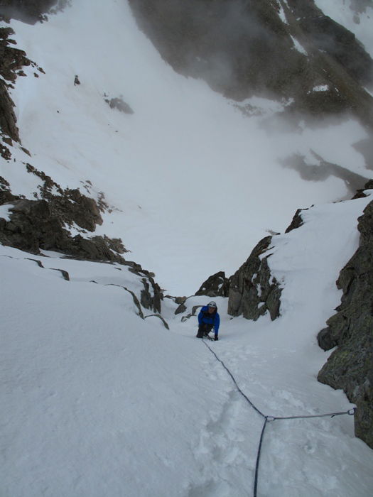 James
James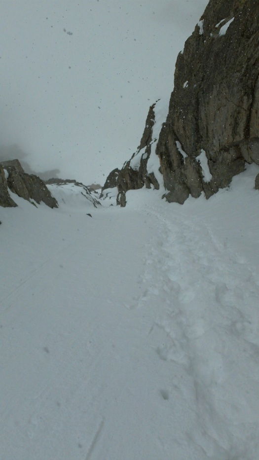 Looking down the route.
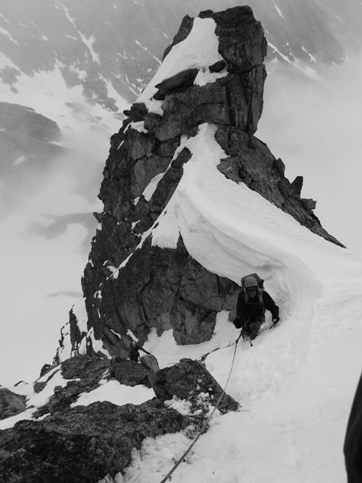 James and John below a cornice.
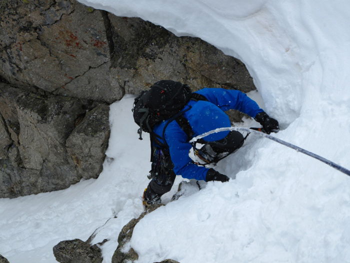 James
James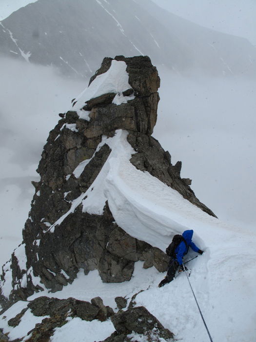 James
James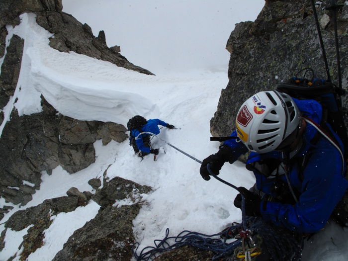 James and Kevin
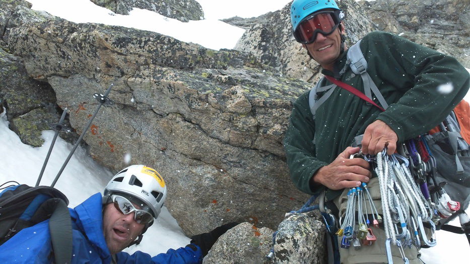 Kevin and John
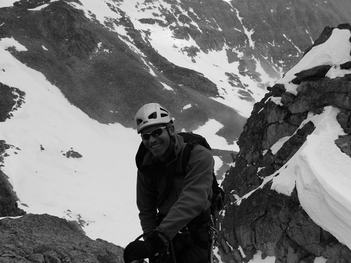 James
James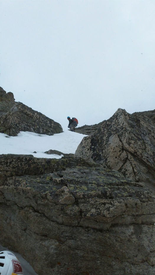 John
John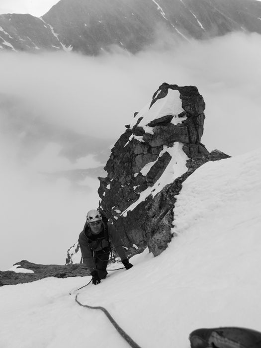 James
James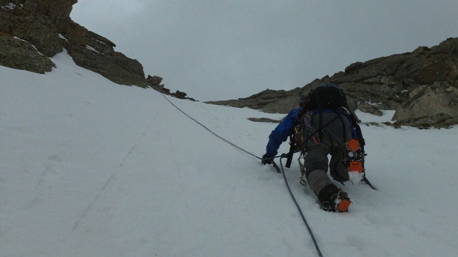 Kevin
Kevin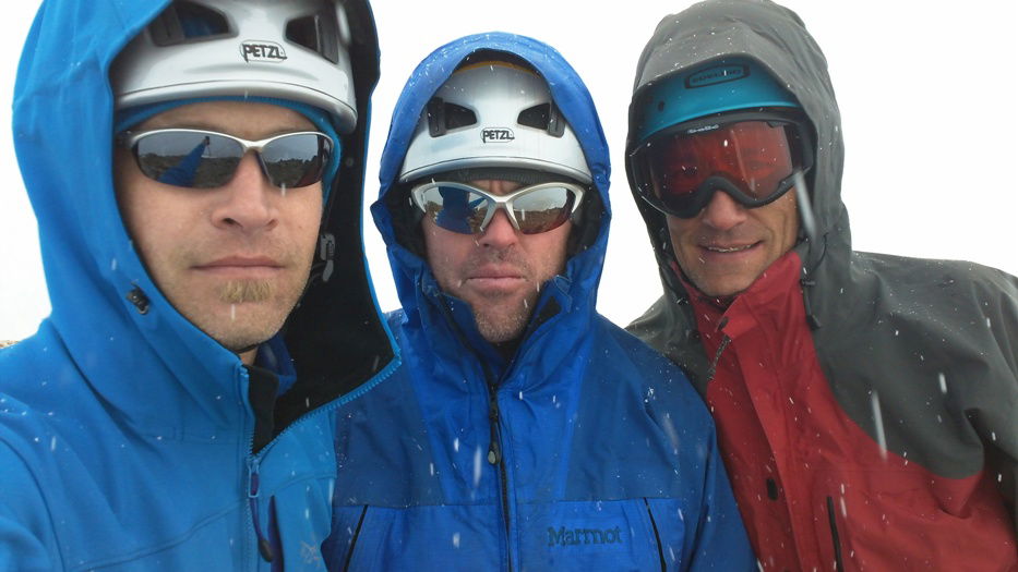 Group Summit Photo
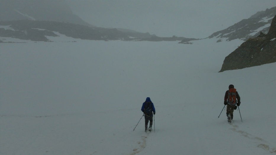 Descent
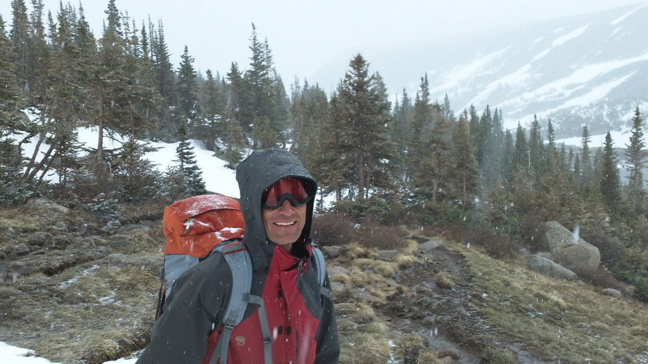 John
John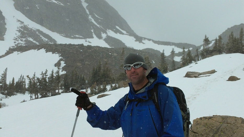 Kevin
Kevin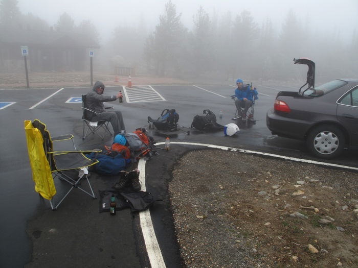 Decompressing