
The Gash
Statistics
- Date - 05/03/2009
- Elevation - 11,000'
- Route - Loch Vale Trail
- Miles - 6.0
- Elevation Gain - 2,000'
- ACME Mapper - Link
- CalTopo - Link
- Partners - Scott Borger, Charles Dansforth, Brian Kraus, Andy Leach, Fabio Somenzi
Description
This trip ended up being a snowshoe hike to The Gash below Andrews Glacier, Otis Peak, and the Sharkstooth in Rocky Mountain National Park. The forecast wasn't good and snow conditions were worse. Fortunately I was able to convince everyone to bring snowshoes along or we would have likely turned around before we even reached The Loch. It ended up being a nice hike for some exercise and scenery.
Photos
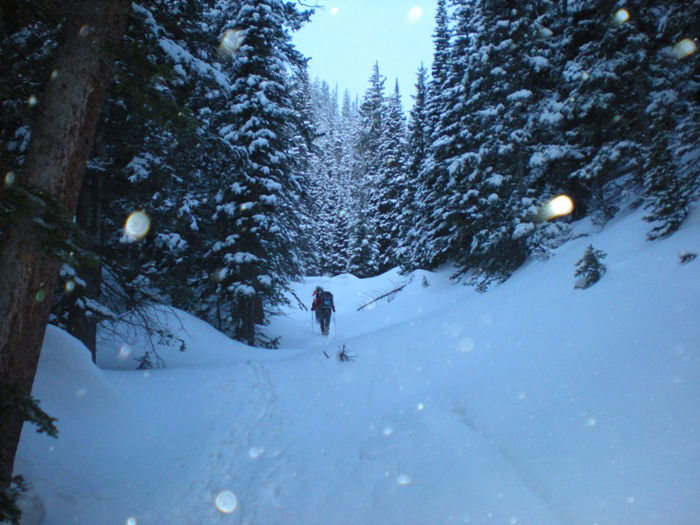 Hiking
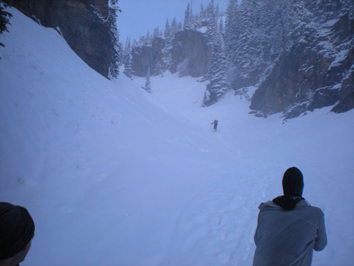 Icy Brook
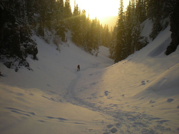 Sunrise
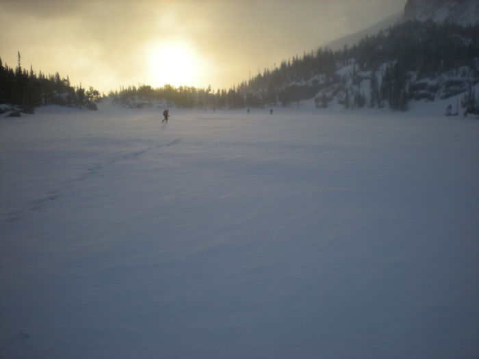 The Loch
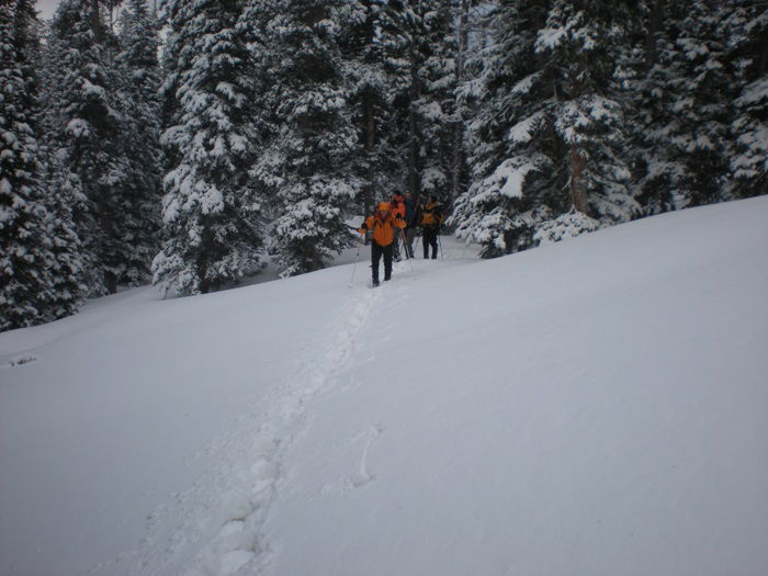 Snowshoeing
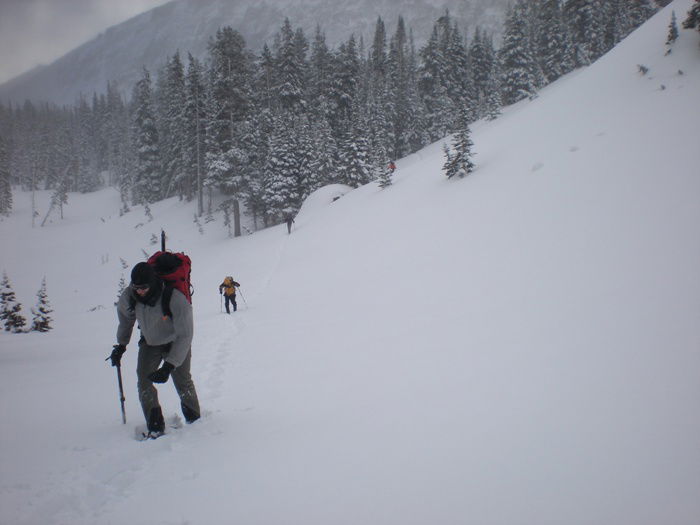 Treeline
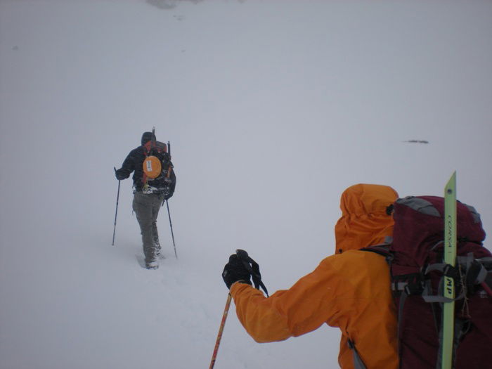 Andy and Scott
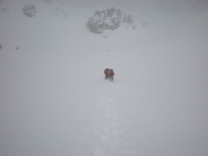 The Gash Area
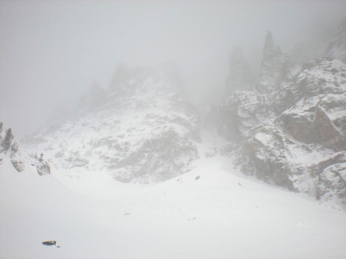 Flour Power Couloir
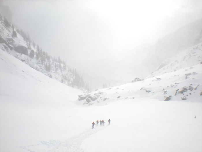 Descent