
Liberty Cap (3)
Statistics
- Date - 03/03/2009
- Elevation 5,900'
- Route - Liberty Cap Trail
- Miles - 3.0
- Elevation Gain - 1,100'
- ACME Mapper - Link
- CalTopo - Link
- Partners - Brandon Garner, Brett McDivitt, Dennis Klingele, Steph Klingele, Jeff Conrad, Nathan Ybarra
Description
After hiking Liberty Cap a couple of times the previous week, I convinced the rest of my co-workers to check it out. This would actually be the first time that Brandon or Nathan ever hiked in their lives. I think that everyone had a good time for the most part, although there were a few comments about the steepness and difficulty. We made the summit plateau above Ute Canyon in just under an hour and then proceeded to scramble to the actual summit of Liberty Cap. To get to the summit, there is actually a couple of awkward friction moves required and then a bolted ladder leads to the top. Getting back across a fairly wide crack on the return is actually the crux of the hike. Since I had already done it, I went across and then spotted others as we worked our way back to the standard trail.
Photos
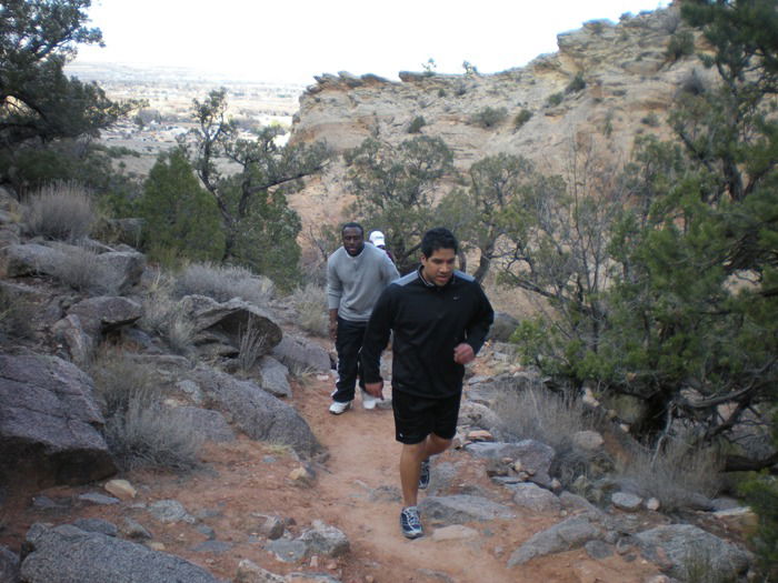 Brandon and Nathan
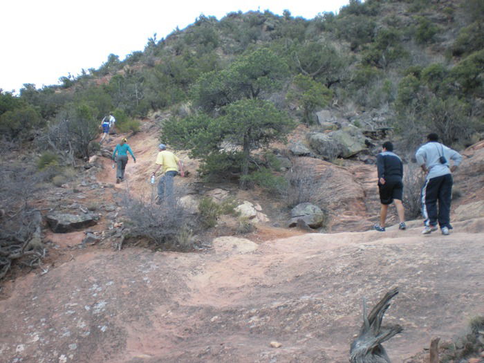 Brett, Steph, Dennis, Nathan and Brandon
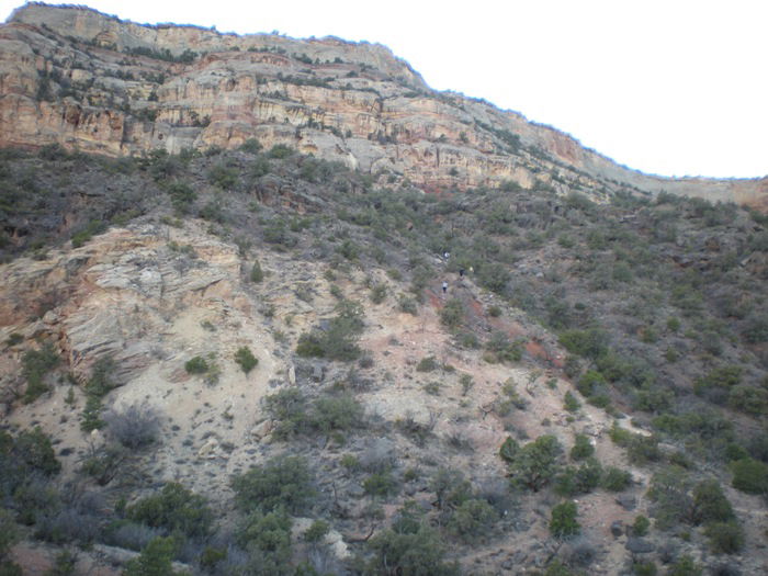 Views
Views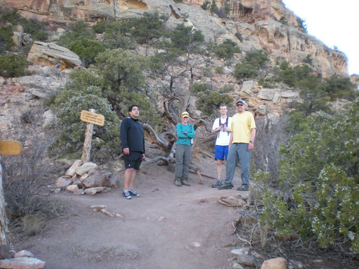 Trail Junction
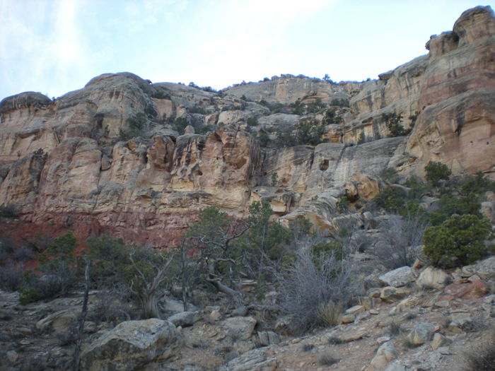 Views
Views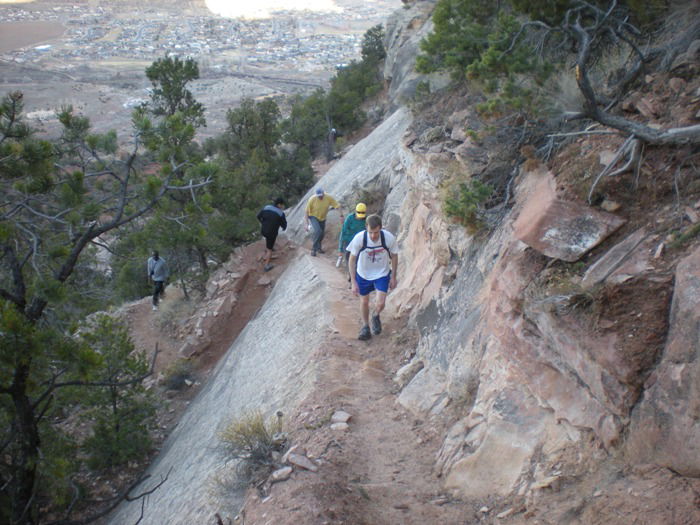 Hiking
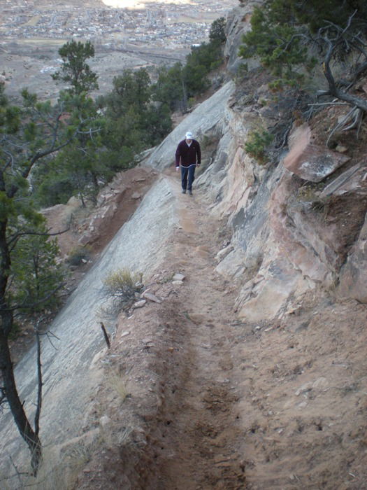 Jeff
Jeff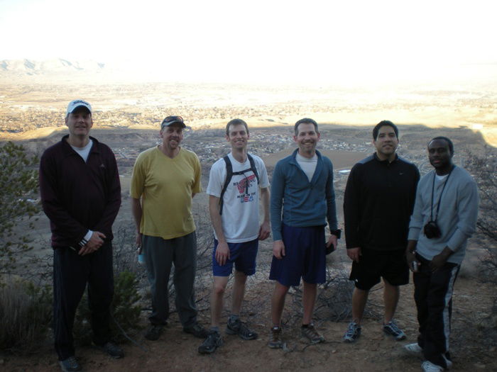 Group Photo
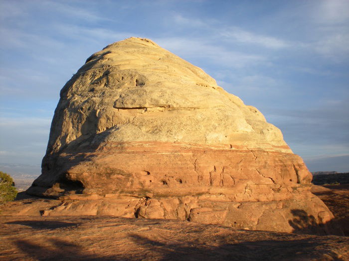 Liberty Cap
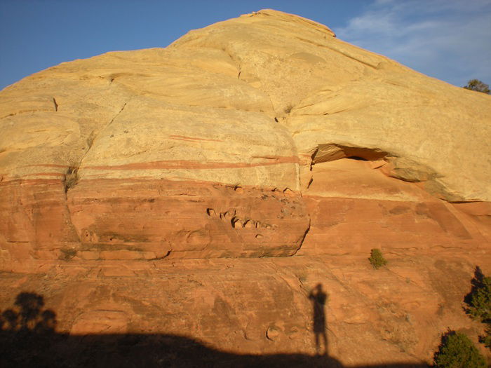 Liberty Cap
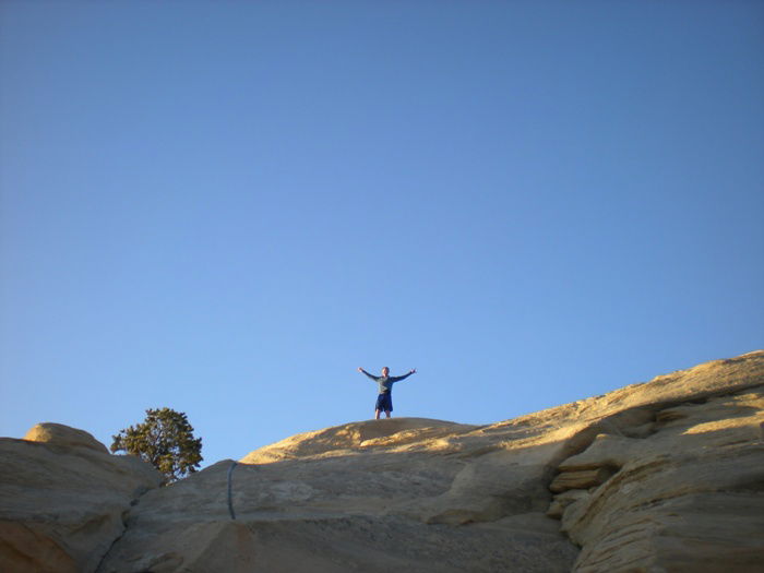 Summit Photo
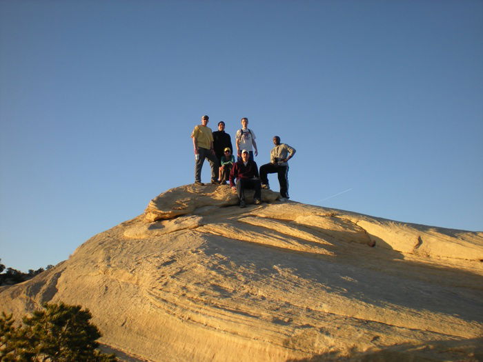 Group Summit Photo
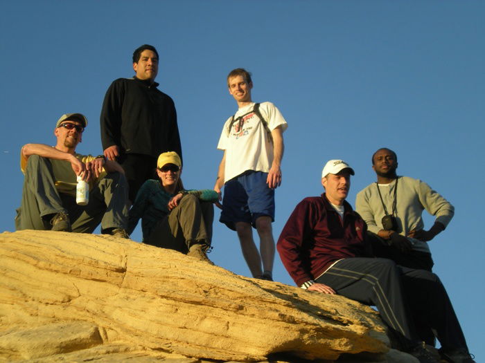 Group Summit Photo
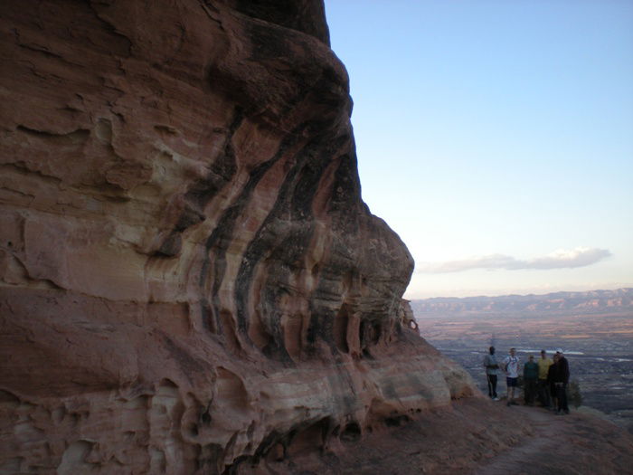 Descent