
Savage Peak
Statistics
- Date - 06/27/2008
- Elevation - 13,139'
- Route - Savage Couloir
- Miles - 7.5
- Elevation Gain - 3,280'
- ACME Mapper - Link
- CalTopo - Link
- Partners - Jeff Shafer
Description
The Savage Couloir on Savage Peak looked like a fun climb to try the snow climb book I had. Jeff and I left Highlands Ranch, Colorado, at 3:15 and started the approach at 6:00. Neither one of us had been to the area, and we both agreed that just the hike to Missouri Lakes was well worth the trip. It was nice to be in a new area that was unfamiliar to us. The hike in on the trail went quickly and the snow held our weight for the most part. We decided to leave the trail around 11,200' when snow made it impossible to follow the trail. After crossing the creek on a meager snow bridge, we quickly traversed to the basin below Savage Peak above tree line. We took a break here to refuel, apply sunscreen, and pull out our crampons and axes.
Although straightforward, the snow climb was very pleasing and seemed to go on for quite some time. With the exception of one rock that managed to pass the two of us, the climb was uneventful. The scenery was great, and kicking steps was easy. Jeff was in good form and ended up ahead of me by a couple hundred feet, so I even pulled my iPod out for part of the climb. We followed the couloir to the summit where we talked, ate, and enjoyed the morning for 30 minutes before heading down. As described in the book, the descent was a lot of fun and went quickly back to tree line. Jeff took a waypoint at our snow bridge crossing, so after a long glissade and some fun boot-skiing back through the trees, we were on the trail and hiking out. Several other people were out hiking by mid morning. We hiked Savage Peak car-to-car in 6 hours.
Photos
 Savage Couloir
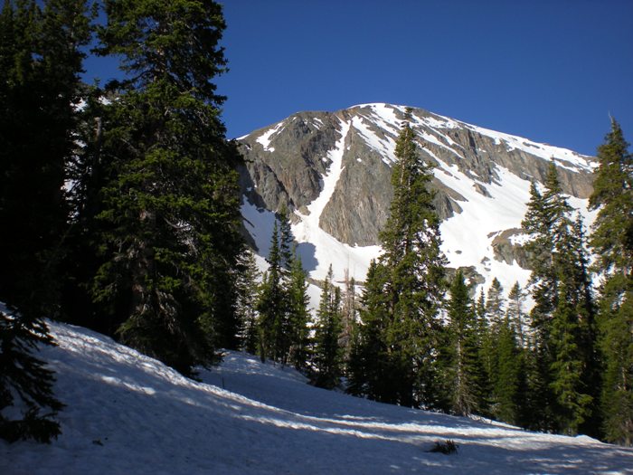 Savage Couloir
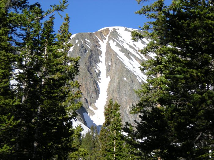
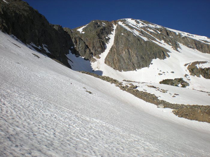 Savage Peak
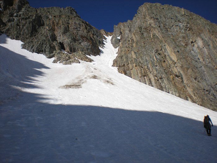 Approaching the couloir.
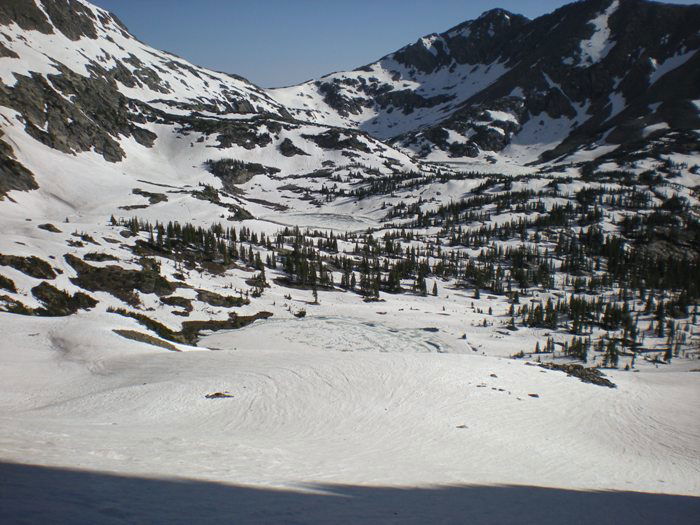 Basin
Basin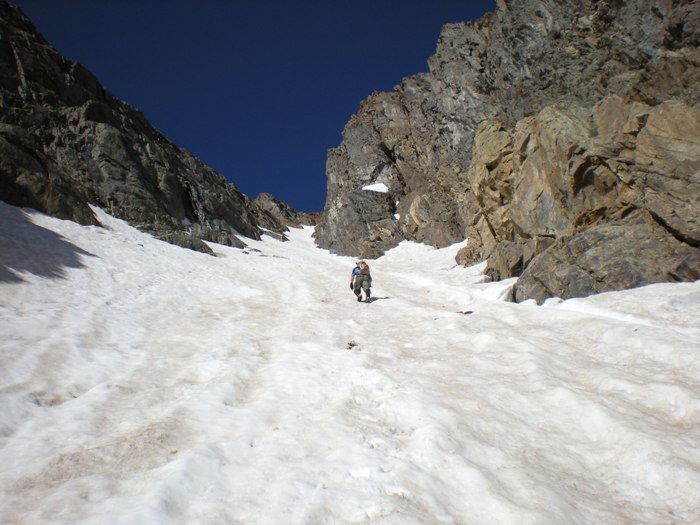 About one-third of the way up.
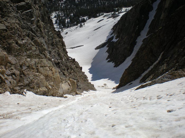 Looking back down the snow climb.
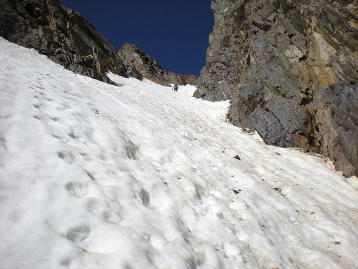 About two-thirds of the way up.
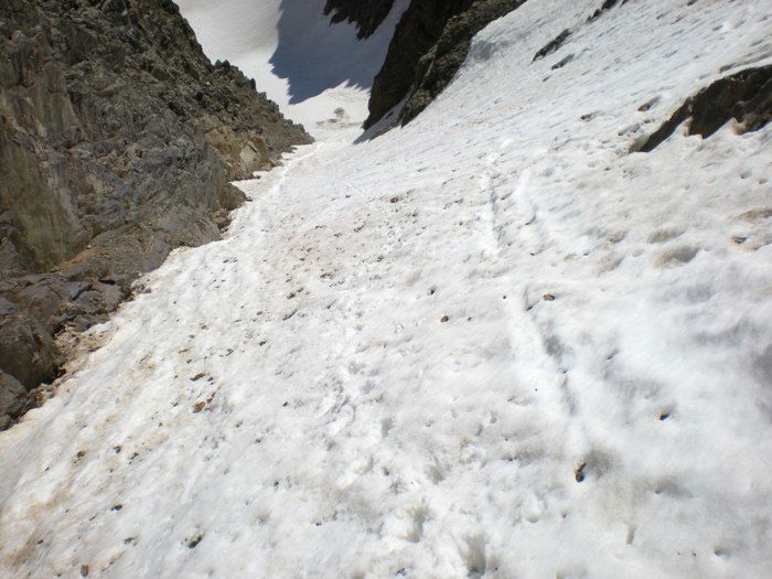 Looking back down the snow climb.
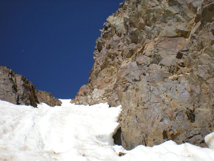 The top of the Savage Couloir.
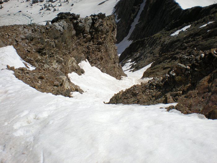 Looking down from the top of the climb.
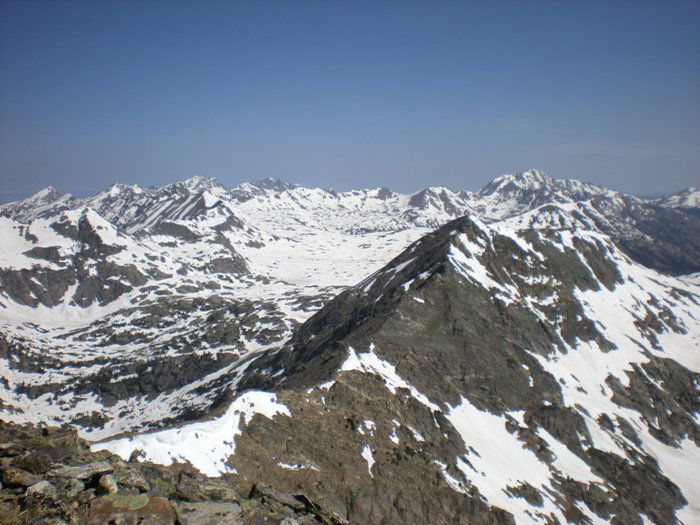 snViews
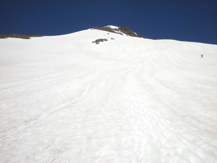 Snow Field Descent
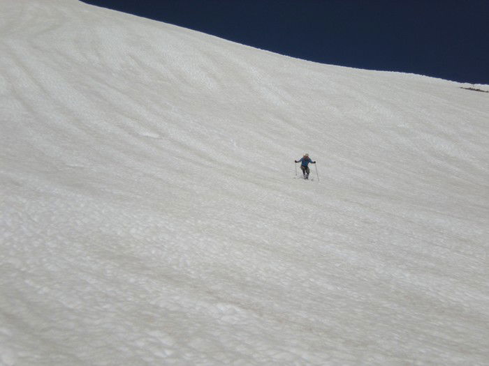 Snow Field Descent
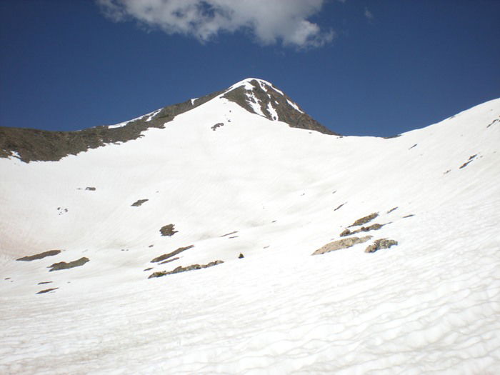 Snow Field Descent
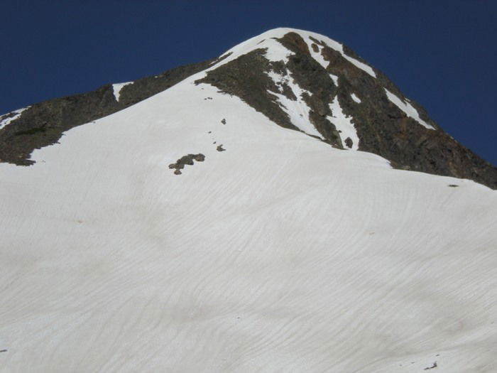 Snow Field Descent
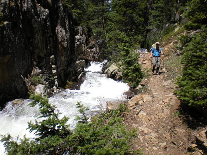 Creek
Creek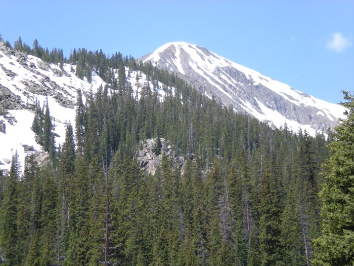 Savage Peak