
Mount Bancroft (1)
Statistics
- Date - 05/04/2008
- Elevation - 13,250'
- Route - East Ridge
- Miles - 7.9
- Elevation Gain - 3,030'
- ACME Mapper - Link
- CalTopo - Link
- Partners - Jeff Kunkle, Jeff Shafer
Description
I've wanted to climb Mount Bancroft's east ridge ever since buying the Colorado Scrambles guide book and finishing the 14ers. I recently purchased the Colorado Snow Climbs book which also has the route as a winter climb. Both Jeffs inquired about hiking something this particular weekend so I suggested Mount Bancroft. Everyone read a few trip reports and decided to give it a go. This hike has a little of everything to offer in terms of terrain; a snowshoe hike, some steeper snow climbing, snow bridge crossings, a long rappel, a very short technical pitch, a bit of class 4 climbing, and lots of class three scrambling. I thought it was a fun route, and we had good weather. We had to park at the intersection of Alice and Stewart Roads and didn't reach the notch/rappel for approximately 2 hours and 20 minutes. We reached the summit in five hours and hung out on the top of Mount Bancroft for 45 minutes before descending down the southeast ridge of Bancroft.
Photos
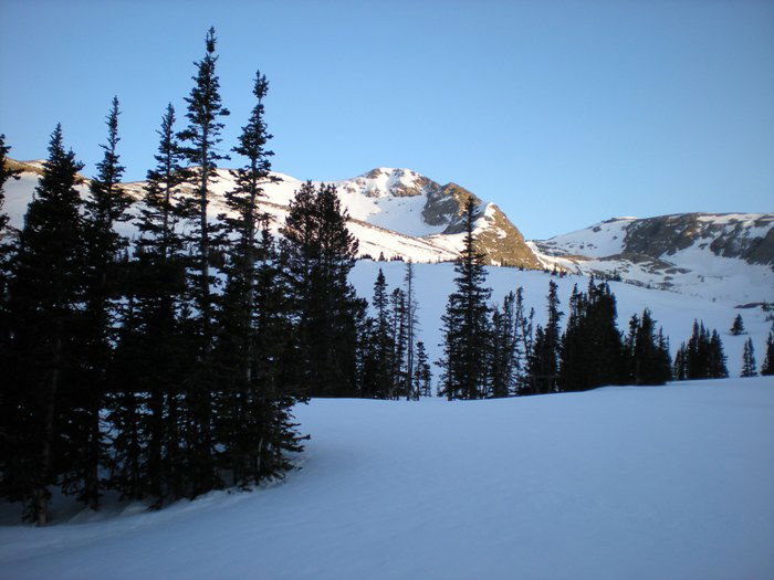 Mount Bancroft
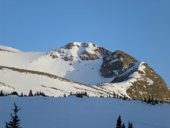 Mount Bancroft
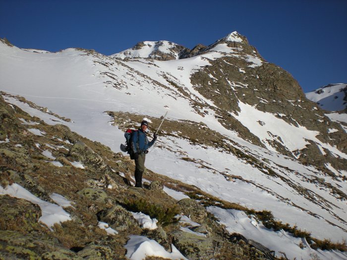 Jeff Kunkle
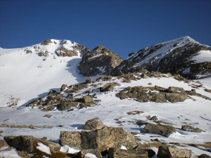 Mount Bancroft East Ridge
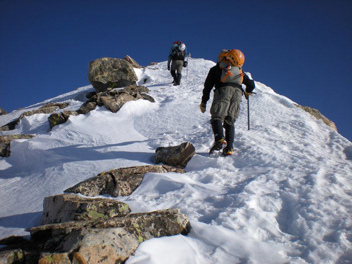 Jeff Kunkle and Jeff Shafer
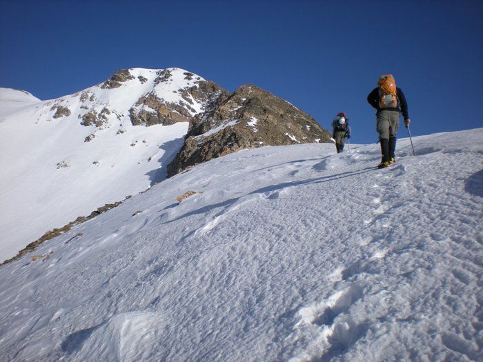 Jeff Kunkle and Jeff Shafer
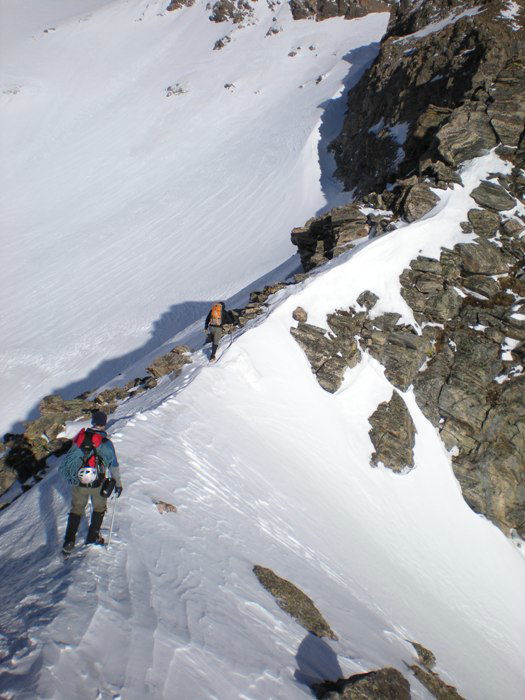 Jeff Kunkle and Jeff Shafer
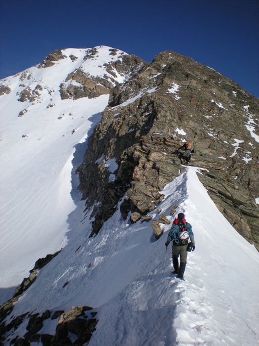 Snow Ridge
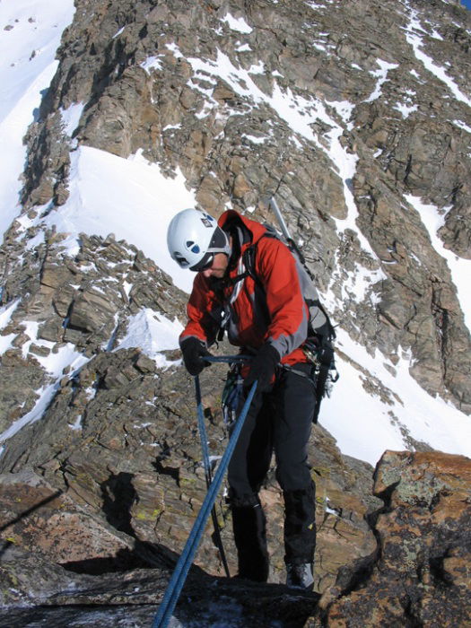 James Rappel
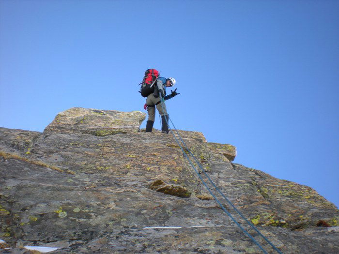 Jeff Kunkle Rappel
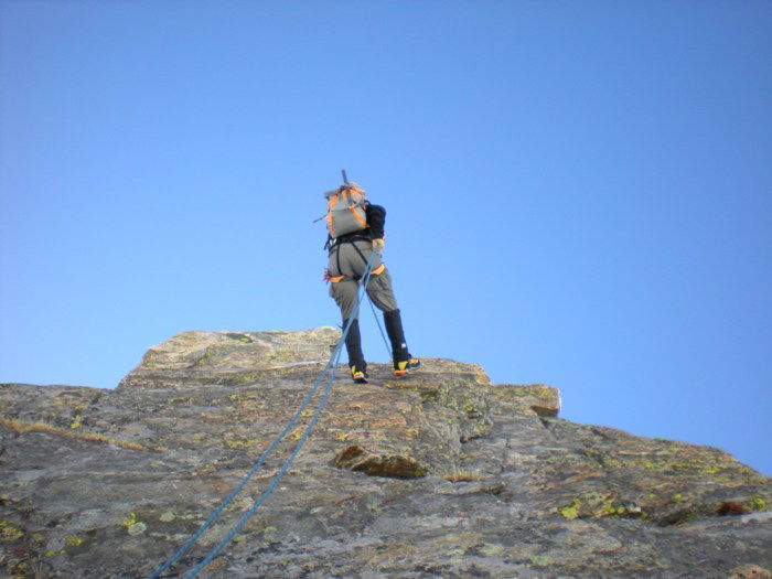 Jeff Shafer Rappel
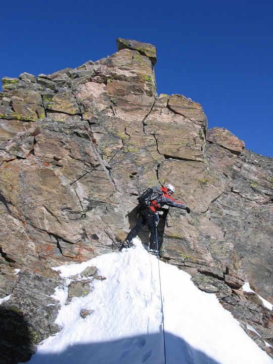 Short Technical Pitch
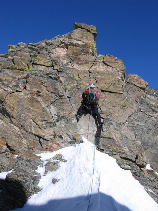 Short Technical Pitch
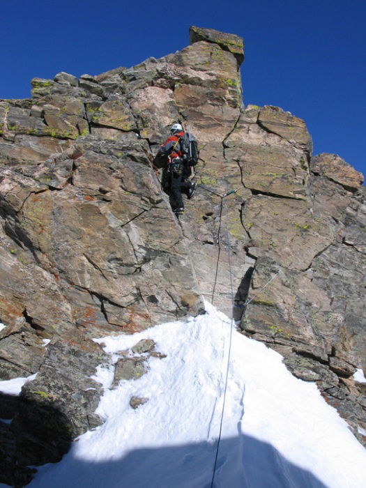 Short Technical Pitch
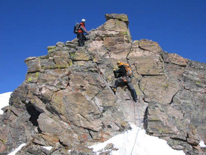 James and Jeff Shafer
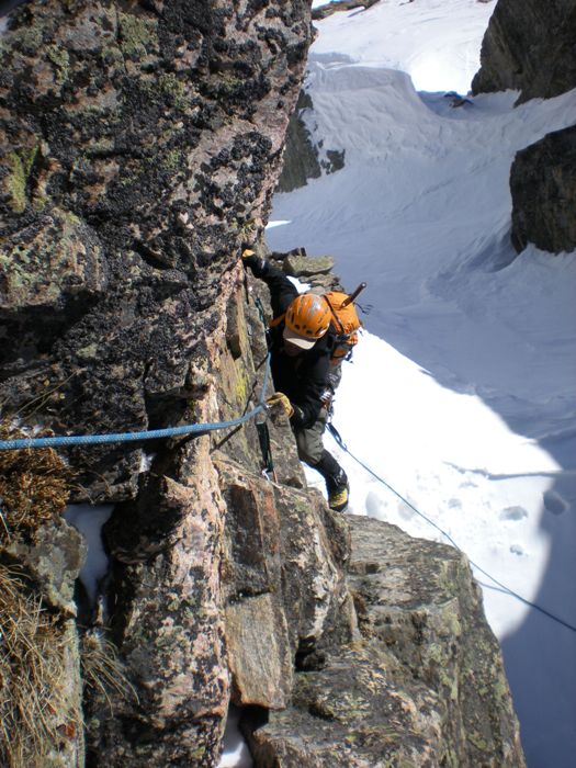 Jeff Shafer
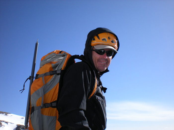 Jeff Shafer
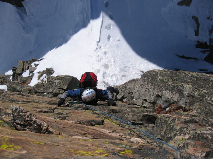 Jeff Kunkle
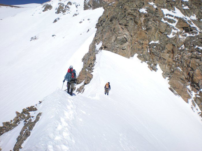 Snow Ridge
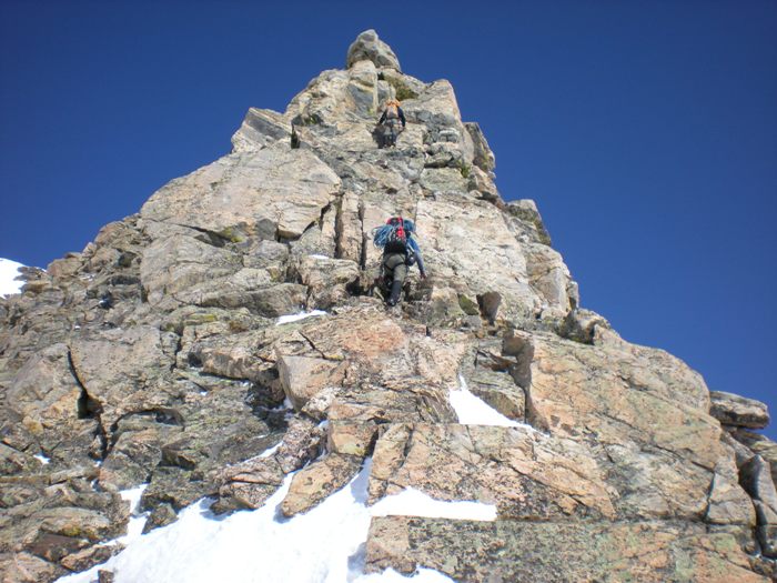 Scrambling
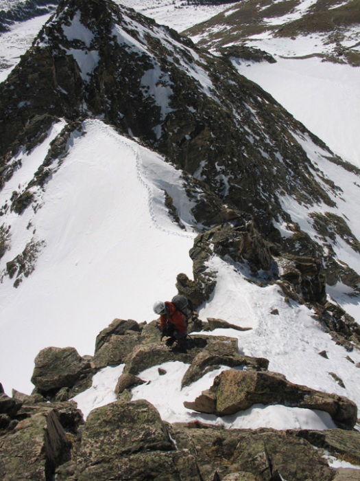 Scrambling
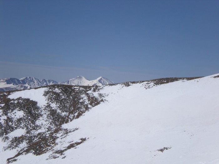 Skiers silhouetted against Grays Peak and Torreys Peak.
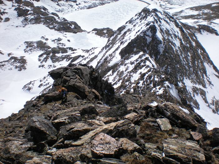 Scrambling
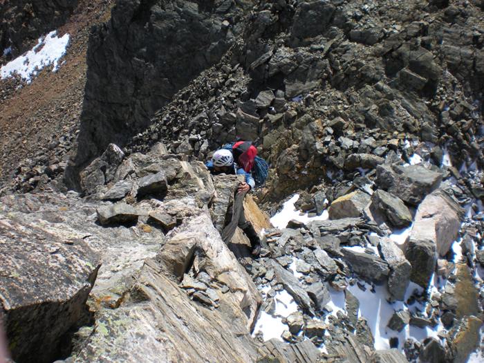 Scrambling
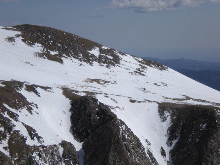 James Peak
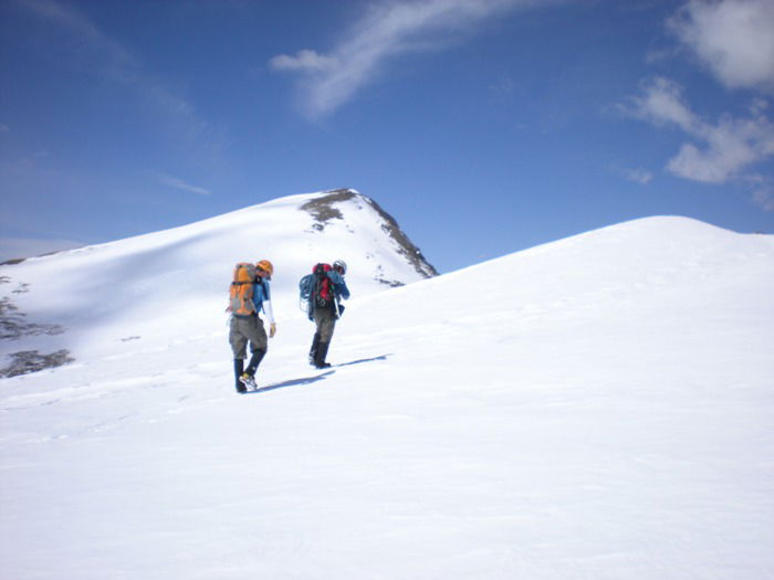 Summit Snow Field
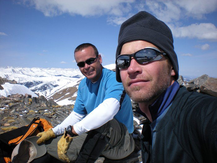 Jeff Shafer and James
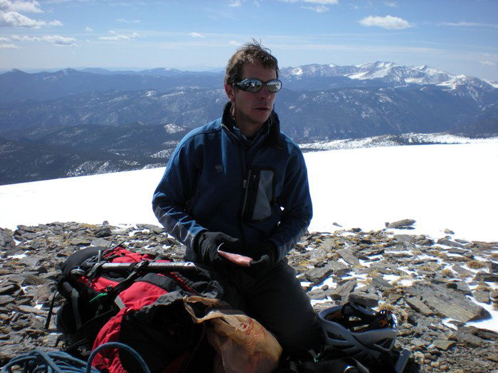 Jeff Kunkle
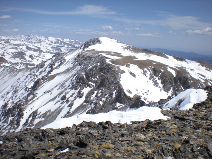 James Peak
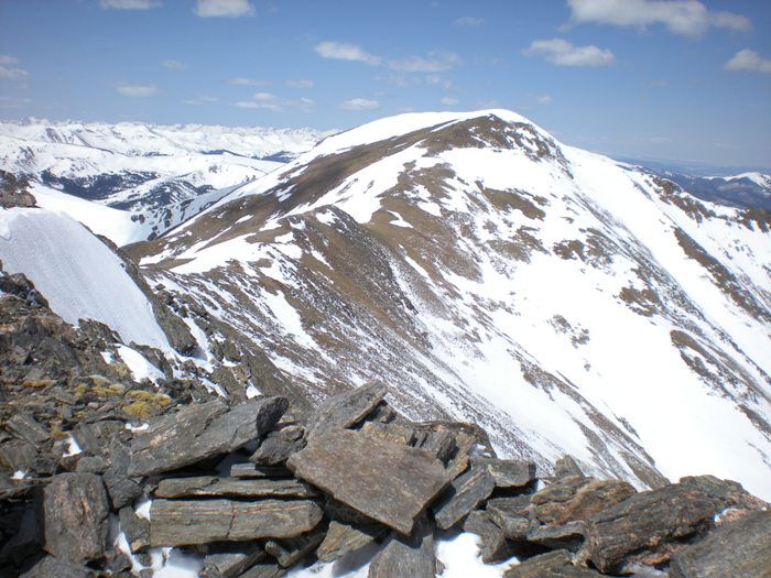 Parry Peak
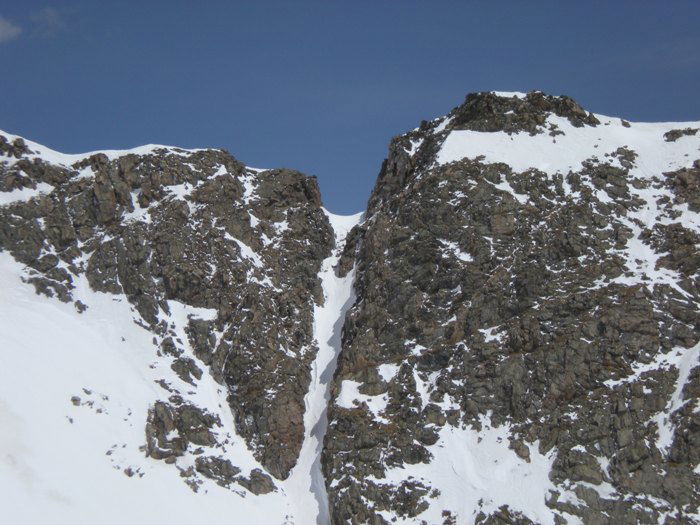 East Ridge Notch
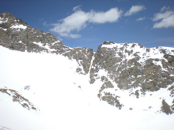 East Ridge Notch