
Geneva Creek Basin
Statistics
- Date - 08/11/2007
- Elevation - 12,890'/12,889'/12,849'/13,180'/13,134'/13,266'/13,238'
- Route - Geneva Creek Basin Loop
- Miles - 9.0
- Elevation Gain - 4,800'
- ACME Mapper - Link
- CalTopo - Link
- Partners - Ryan Kowolski
Description
I was unsuccessful in finding a partner for Mount Neva, so when Ryan was looking for someone to go into Geneva Creek Basin I decided to tag a long. This hike is a loop around the Geneva Creek Basin. A trip report had just been posted of this hike that summits seven peaks. Ryan and I met at The Fort on Highway 285 and drove up the road to Guanella Pass before turning off on County Road 119. We did the loop counter clockwise heading up Jackwacker Gulch to Decatur Mountain (1). From here we went southwest to Revenue Mountain (2). It was a quick traverse to Silver Mountain (3) where we ate some food and I injected some insulin. We continued southwest to Santa Fe Peak (4) as I began to feel miserable.
Since I was moving slow, I suggested we just keep moving, but by the time we got to Sullivan Mountain (5), I knew something was wrong. I stopped and checked my blood sugar which was very low. Ryan allowed me to refuel before we were off to Geneva Peak (6). After Geneva, we finished on the flat summit of Landslide Peak (7) where we observed our entire route of the day and enjoyed the great weather. We descended off of Landslide Peak's steeper northeast shoulder. As we reached treeline, it wasn't long before we cliffed out and were in a bit of a pickle. We traversed north and simply worked our way down on terrain we were comfortable with. After these difficulties, we ran into some marshy wet ground that wasn't real pleasant to hike through.
We finally reached Geneva Creek, crossed the creek, and popped out on the road less than 300' from Ryan's truck. This was a fun hike with a good partner. It was neat to spend that much time on a ridge at elevation. Ryan is a geologist so he enjoyed the scenery, searching through mine tailing, and looking at old boundary markers. If you are interested in this loop, I'd recommend starting at Landslide Peak and working clockwise. You get more elevation gain out of the way in the beginning and also avoid down climbing the most difficult terrain of the hike.
Photos
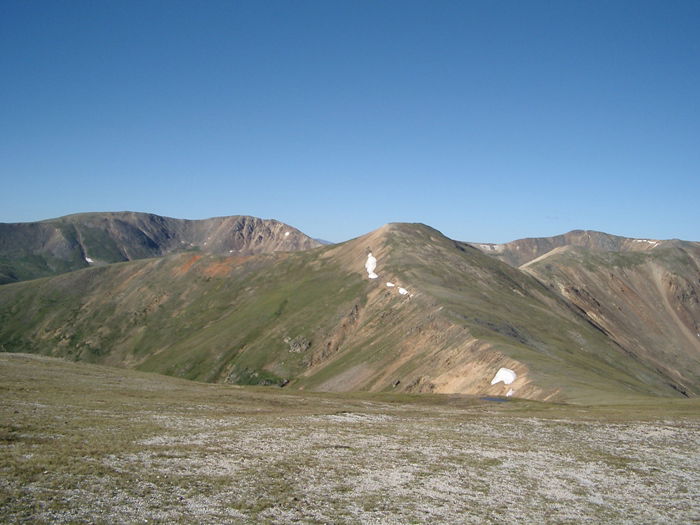 Landslide, Geneva, Revenue, and Santa Fe from Decatur Mountain.
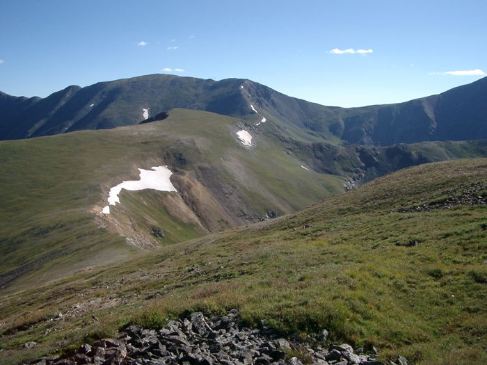 Decatur Mountain from Revenue Mountain.
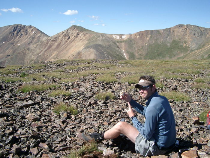 Summit Photo (Silver Mountain)
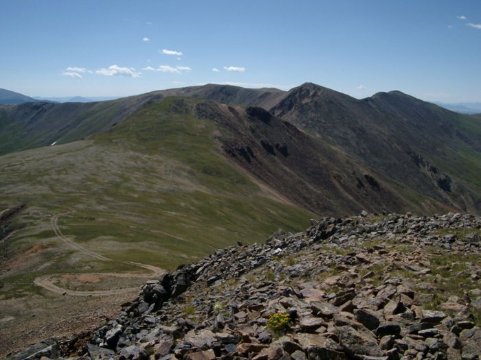 Sullivan, Geneva, and Landslide from Santa Fe Peak.
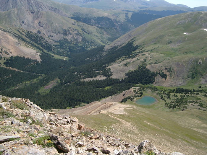 Geneva Creek from Santa Fe Peak
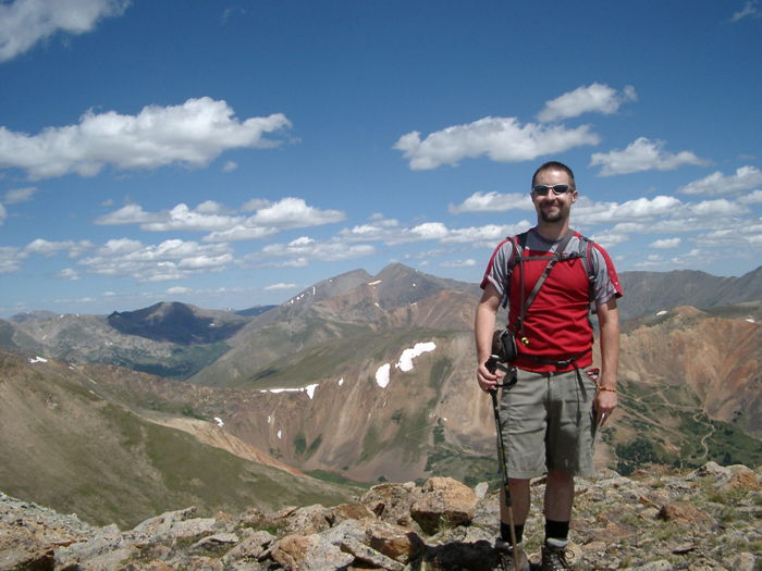 Ryan
Ryan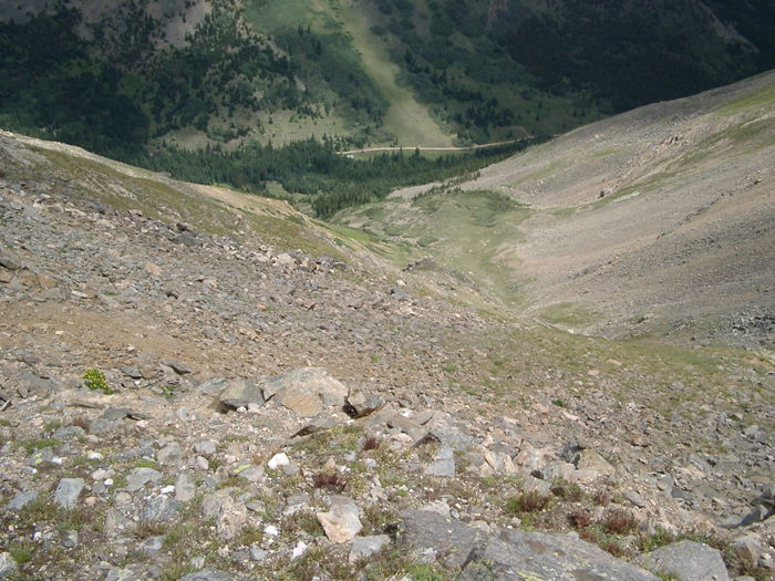 Descent