
Harney Peak (1)
Statistics
- Date - 07/09/2005
- Elevation - 7,242'
- Route - Trail No. 9
- Miles - 6.0
- Elevation Gain - 1,600'
- ACME Mapper - Link
- CalTopo - Link
- Partners - Not Applicable
Description
On the way back from North Dakota, we drove through Rapid City, South Dakota, to see Mount Rushmore and do some tourist activities. Since I had hiked White Butte, I figured I might as well try Harney Peak which is South Dakota's state highpoint. I am not a state high pointer, but it was too convenient to pass up. Harney Peak is in the Black Hills. I was hiking by 6:00 and only ran into a couple people on the trail. It took me one hour to reach the summit and 40 minutes to get back to the trailhead.
Amid much controversy in the state of South Dakota, the former Harney Peak is now officially Black Elk Peak, following a ruling by the U.S. Board of Geographic Names on August 11, 2016. That ruling will affect how the summit is named on all federal maps in the future. Black Elk Peak is the high point of the state of South Dakota and is located in the Black Hills in the southwestern portion of the state.
Photos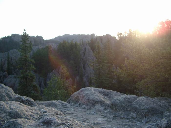 Sunrise
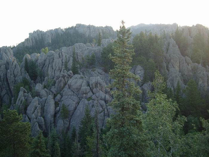 Views
Views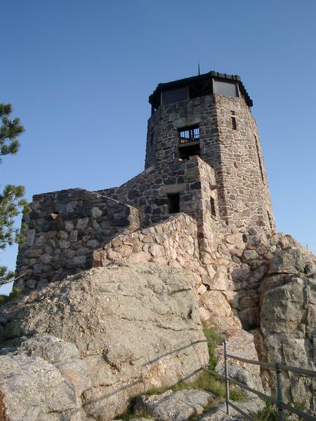 Harney Peak
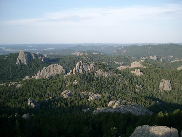 Views
Views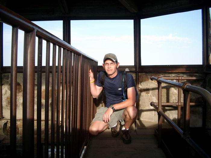 Summit Photo
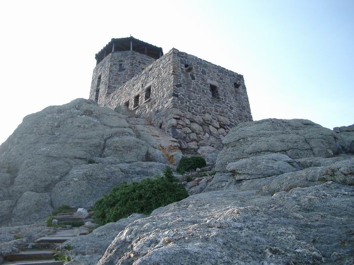 Lookout Tower