
Gregory Bald
Statistics
- Date - 10/31/2004
- Elevation - 4,949'
- Route - East Slopes
- Miles - 10.0
- Elevation Gain - 3,020'
- ACME Mapper - Link
- CalTopo - Link
- Partners - Not Applicable
Description
Not wanting to drive quite as far on Sunday, I chose a hike on the west end of the park. I drove to the far end of Cades Cove and started up the Gregory Bald Ridge Trail to hike to Gregory Bald. It was a nice hike with far fewer people that those on the main highway. The views weren't spectacular, but I had a good time and was outdoors.
Photos
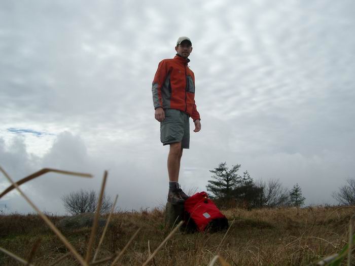 Summit Photo
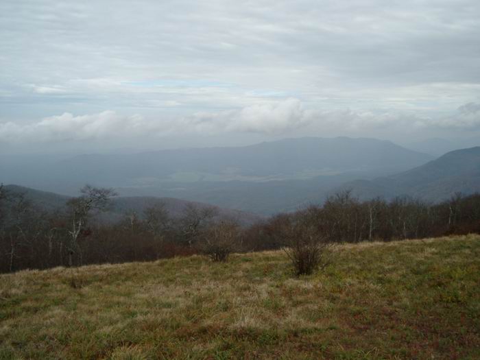 Cascades Cove to the north of Gregory Bald.
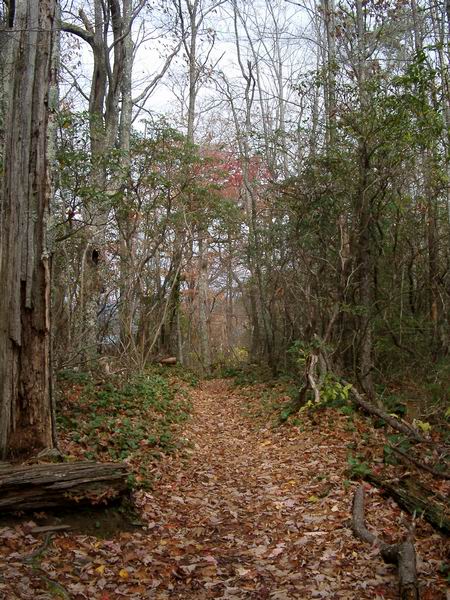 Trail
Trail Log Bridge