
Chief Mountain
Statistics
- Date - 02/06/2004
- Elevation - 11,709'
- Route - East Slopes
- Miles - 2.0
- Elevation Gain - 1,005'
- ACME Mapper - Link
- CalTopo - Link
- Partners - Thomas Milinowicz
Description
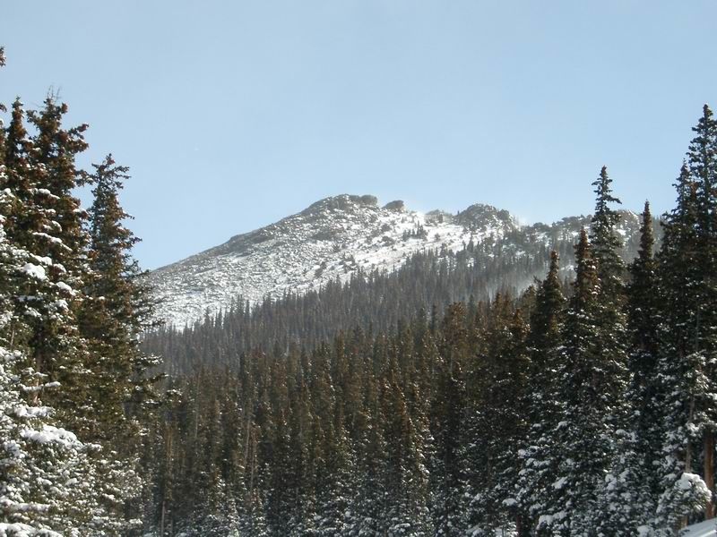
As a result of cold temperatures and strong winds, Tom and I shortened our objective for a winter hike. Chief Mountain is located 4.5 miles directly south of Idaho Springs, Colorado, and 8.8 miles northeast of Mount Evans. Getting to the trailhead involves a relatively long drive on Highway 103 from either exit 252 or 240 off of I-70 depending on which direction you are coming from. Chief Mountain actually ended up being a great hike despite its brevity. The trail had 8 to 12 inches of fresh snow on it that hadn't been disturbed. We broke the trail all the way to the top encountering a couple of sections where the snow had drifted as high as our thighs.
Once at the trailhead, we put on our snowshoes and started up the trail. According to Tom's thermometer, the temperature was in the single digits for most of our trip. We were able to follow the trail until we got to the saddle between Chief Mountain and Papoose Mountain. At this point, we ran into the deepest snow and simply headed west. After gaining some elevation, we were able to pick up the trail again and follow it to the tree line. I ditched my snowshoes at this point as the ground was wind blown with little snow. We were on the summit shortly thereafter where the wind was considerably stronger. We took some photos and video and then searched for some relief from the wind as we had a snack and some water. The views of Mount Evans getting pummeled by the blustery weather was impressive. We returned to my cached snowshoes and talked with an individual who turned around less than 150 feet from the summit. He admittedly stated that he planned poorly and the temperatures were simply too cold on his face.
Photos
 Chief Mountain
 Tom
Tom
 Mount Evans
 Tom
Tom
 James
James