
Two Mouth Lakes (2)
Statistics
- Date - 09/16/2000
- Elevation - < 7,000'
- Route - Trail No. 268
- Miles - 7.0
- Elevation Gain - 1,720'
- ACME Mapper - Link
- CalTopo - Link
- Partners - Doug Kimball, Payton (Dog)
Description
Since Doug and I hadn't quite made it to the Two Mouth Lakes in 1999, we decided to try our luck again without any snow. The trailhead is about 11 miles up Myrtle Creek Road which is north of the wildlife refuge near Bonners Ferry, Idaho. The weather was very cooperative for the middle of September and we anticipated a great hike. The first 1.5 miles were fairly easy hiking on what appeared to be an old logging road. After this, the trail narrowed and we started to slowly climb the north side of the drainage we had entered. On our previous venture, we ran in to snow, lost the trail, and simply followed the bottom of the drainage up to a small bowl, not realizing that we needed to climb up the side of it to reach the lakes.
As we neared the small pass that overlooks the two lakes, the trail got a little steeper and the views were improving. Upon reaching the pass, you can scramble to a small point and catch glimpses of the lakes, but you had to know they were to see them. We dropped a few hundred feet and made it to the larger of the two lakes where we rested and had a snack. Upon our return, I quickly ran down to the smaller lake and stumbled upon an old slightly inebriated cowboy enjoying the day. As he told me that he was riding his horse to keep it in shape, I was tempted to ask for a pull from his flask, but I opted to just chat with him for a bit while a moose wandered across the lake.
Photos
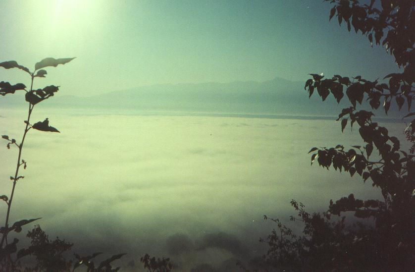 Kootenai Valley
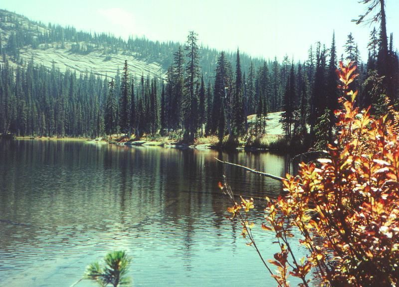 Two Mouth Lakes
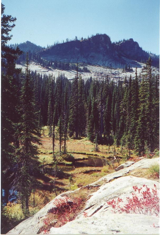 Views
Views