
Liberty Lake
Statistics
- Date - 04/08/2000
- Elevation - < 7,000'
- Route - Liberty Creek Trail
- Miles - 6.0
- Elevation Gain - 2,000'
- ACME Mapper - Link
- CalTopo - Link
- Partners - Not Applicable
Description
The trailhead is located southeast of Liberty Lake, Washington, which is right off of I-90 near the Idaho/Washington border. Although the park was closed, the camping, picnic, and beach area appeared to be well maintained with lots of activities available. Because of this, I was also under the impression that this small park gets used very heavily over the summer months. The trail begins by following Liberty Lake Creek for approximately 1.5 miles to a grove of cedars. From their, you switchback your way up the side of the drainage to a waterfall that was flowing at a fairly fast pace due to Spring runoff. From the waterfall, you hike farther into the drainage on the side hill and then finally make it to the ridge via more switchbacks. You would then pass an old cabin site while returning back on the ridge and then dropping down into the entrance trail.
After making it to the waterfall, I continued on farther for approximately a half of a mile before running into snow near the top of the ridge and losing the trail. I didn't have time to get lost, so I simply returned the same way the I had come in. It wasn't perfect weather for hiking, but I certainly caught the best part of the day with only a few snow flakes hitting me as I started and ended the hike. Although I was happy to be on the trail, I wasn't overly impressed with this hike. Other than the waterfall, I didn't feel it had a lot to offer for views or scenery.
Photos
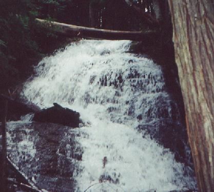 Waterfall
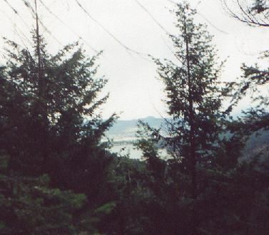 Liberty Lake