
Scotchman Peak (1)
Statistics
- Date - 07/10/1999
- Elevation - 7,009'
- Route - West Ridge (Trail No. 65)
- Miles - 7.0
- Elevation Gain - 3,730'
- ACME Mapper - Link
- CalTopo - Link
- Partners - Greg Schmiesing, Payton (Dog)
Description
Scotchman Peak was clearly the most difficult hike I have done to date. The trailhead is only a few miles northeast of Clark Fork, Idaho, and the trail wasted little time in heading relentlessly uphill. I think that it is reasonably fair to compare this hike with the hike to Mount Borah, which is the tallest mountain in Idaho. Mount Borah ends at over 12,000' and gains approximately 1,500 more feet in the same distance (3.5 miles), but this is one of the closest comparisons you will find to it in northern Idaho.
The trail started off at a steep grade and then slowly worked its way into some gradual switchbacks for the middle of the hike. As we neared the top we did run into some snow and more difficult route finding. After reaching a false summit, we caught our first glimpse of Scotchman Peak, which was still a half an hour away. Although a little disappointed that we weren't done climbing yet, our spirits were lifted when we spotted some mountain goats on the rocks above us. We were fortunate to get them on film and then continued onward.
We were getting fatigued, but acclimatizing well. A short time later, we passed a small wind hut built from stones by other hikers and finally made the summit. Greg only had a granola bar and apple, so I decided to make him some ramen noodles for us both. Surprisingly, he noted that this was the first time he had ever had them. We finished our meal, snapped some photos, and began back down the steep trail.
Photos
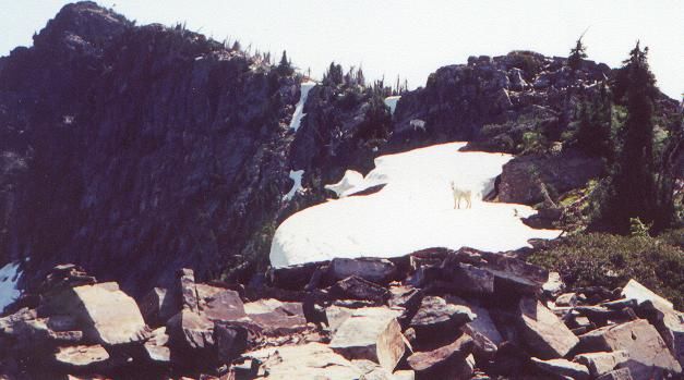 Scotchman Peak and a mountain goat.
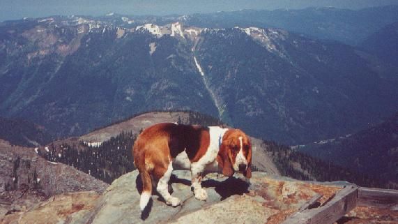 Payton
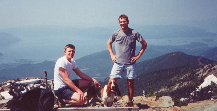 Greg and James on the summit.
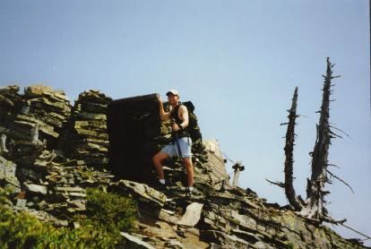 James at the rock hut.