
Lake Darling/Mount Pend Oreille
Statistics
- Date - 07/25/1998
- Elevation - 6,755'
- Route - South Slopes (Trail Nos. 161/67/52)
- Miles - 8.0
- Elevation Gain - 2,155'
- ACME Mapper - Link
- CalTopo - Link
- Partners - Brendon Chaney, Casey Freise, Jason Thompson
Description
Lake Darling and Mount Pend Oreille are two highlights of this loop that is also located up Trestle Creek. Jason had just purchased a 350 Power Stroke Ford Diesel and offered to drive the four of us to the trailhead which is actually only 2 miles away from Lake Darling. We decided to take the road less traveled and began climbing in the opposite direction of the lake. The trail was rather relentless for 2 to 3 miles until we reached a ridge and then hiked to a saddle below Mount Pend Oreille. From here we had to climb again for about 20 minutes before we got to the top. There were excellent views in every direction, including Lake Pend Oreille, the Cabinet Mountain Range, and of course Lake Darling below us.
We had our lunch on the peak next to the litter of an abandoned lookout tower, and then took some photos. After that, we descended back down to the saddle forking off in the direction of the lake. Once at Lake Darling, Casey disappeared for an 1 1/2 hours fishing the stream that fed into the Lake. As Casey was becoming one with nature, Brendon, Jason, and myself stripped down to our unmentionables and jumped in the lake to relieve ourselves from the heat. When Casey finally returned, we packed up and finished the 2 mile hike back to the vehicle and headed home. I would encourage anyone looking for a short day hike to simply hike into Lake Darling and back out. Anyone wanting to make the full loop could either do it as a long day hike like us, or spend the night at the lake.
Photos
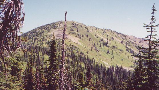 Mount Pend Oreille
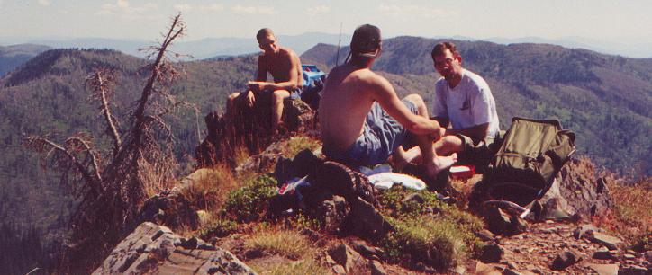 Jason, Brendon, and James
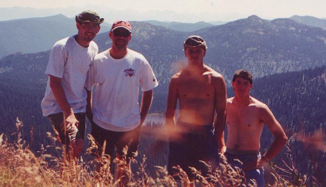 James, Casey, Jason, and Brendon
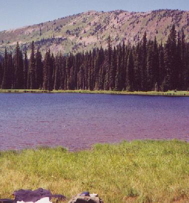 Lake Darling